Don't ask why I did this...bordom perhaps? Nonetheless, I captured the downtown maps of
most Canadian cities.
The scales are all relatively the same. It's actually neat how much land is amassed (and not) compared to others. Also, it shows how various downtown areas could possibly take riding lessons from others in the country and also how they could be used wisely.
From West to East
Victoria
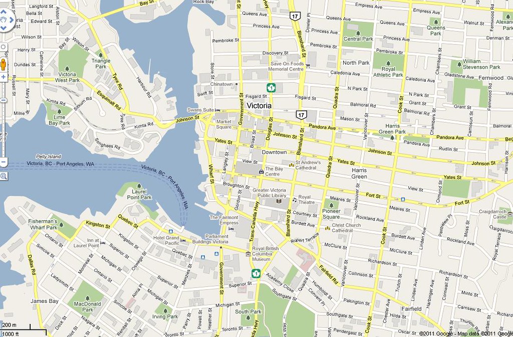 Vic
Vic by
sens_31, on Flickr
Vancouver
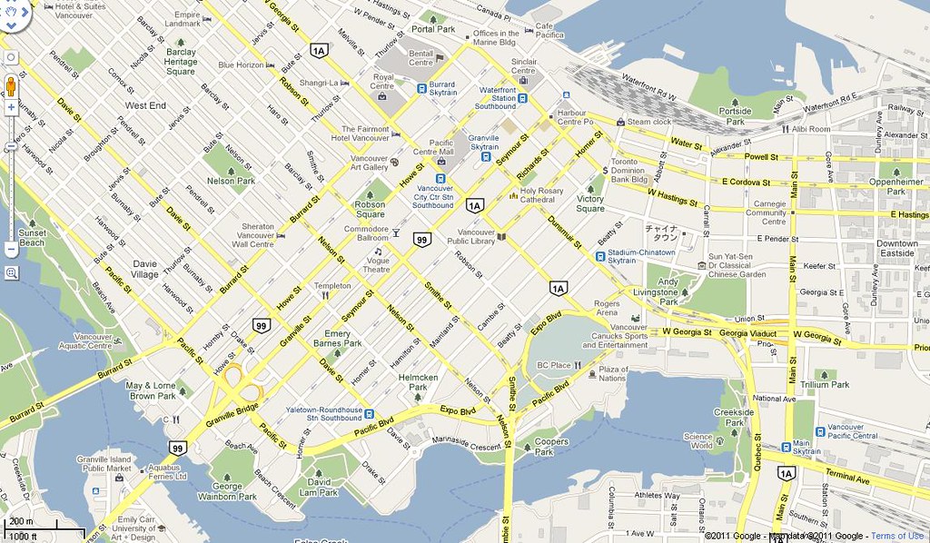 Van
Van by
sens_31, on Flickr
Calgary
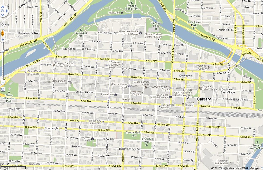 Cal
Cal by
sens_31, on Flickr
Edmonton
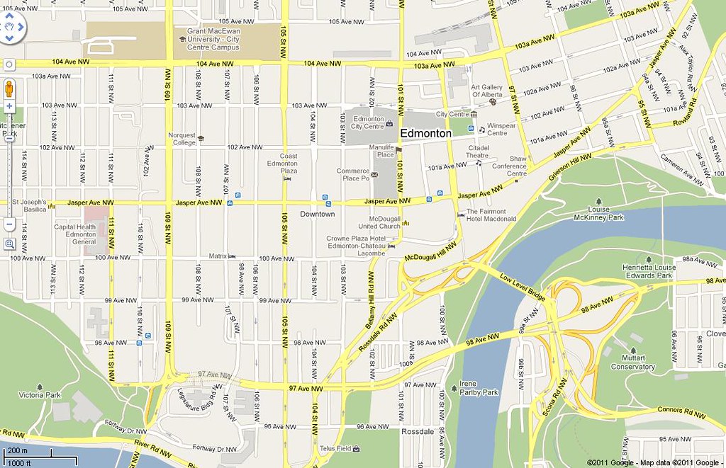 Edm
Edm by
sens_31, on Flickr
Saskatoon
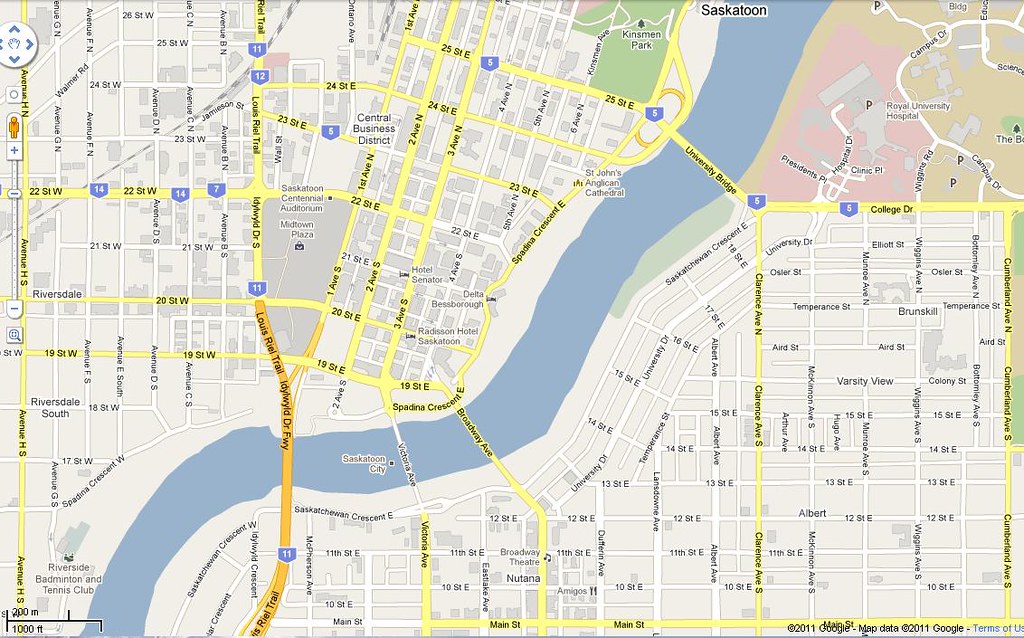 Toon
Toon by
sens_31, on Flickr
Regina
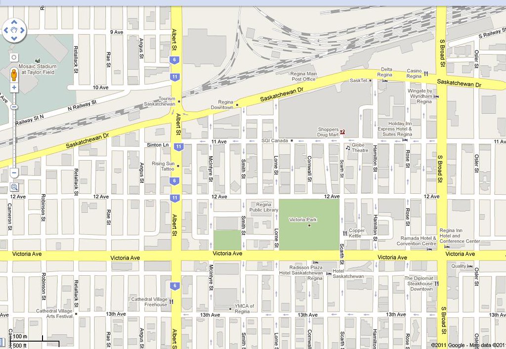 Reg
Reg by
sens_31, on Flickr
Winnipeg
 Win
Win by
sens_31, on Flickr
Windsor
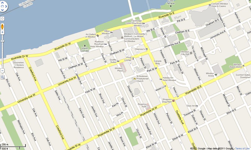 Wsr
Wsr by
sens_31, on Flickr
London
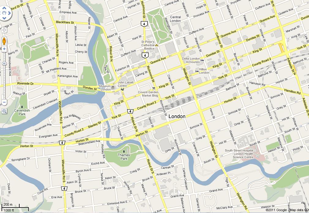 Lon
Lon by
sens_31, on Flickr
Hamilton (My Hood

)
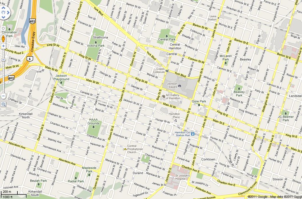 Ham
Ham by
sens_31, on Flickr
Missisauga...I know...the skyline/city centre just consists of what happened when a condo had quintuplets with an office tower.
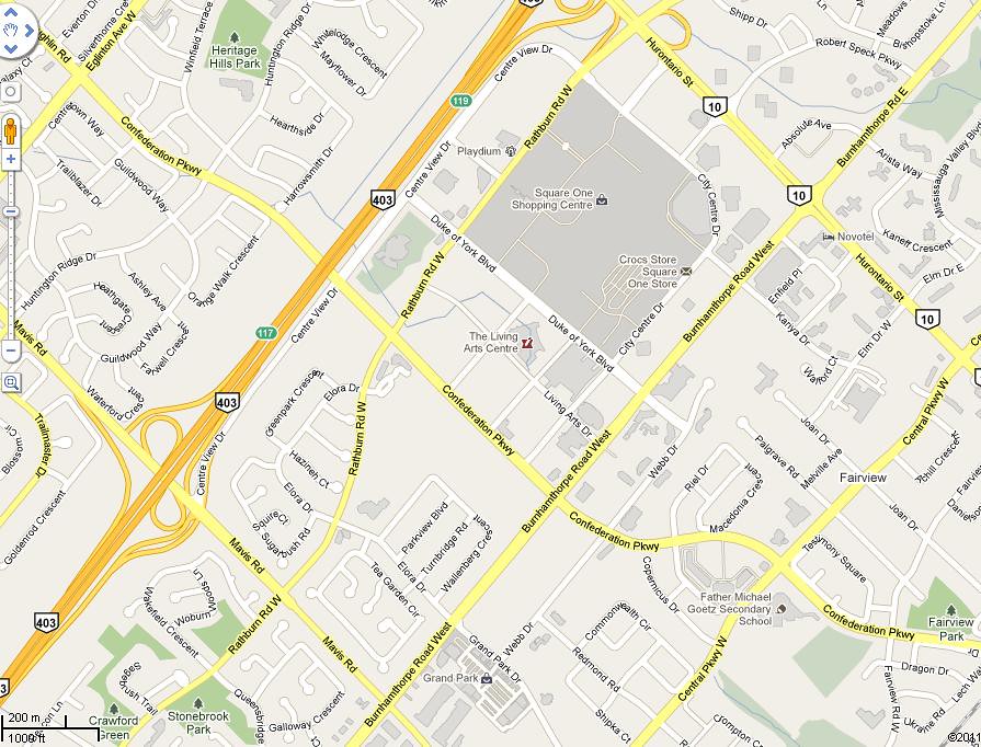 Miss
Miss by
sens_31, on Flickr
Toronto
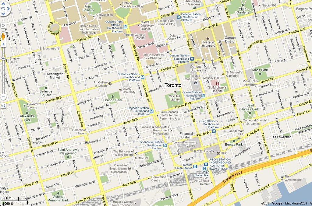 Tor
Tor by
sens_31, on Flickr
Ottawa
 Ott
Ott by
sens_31, on Flickr
Montreal
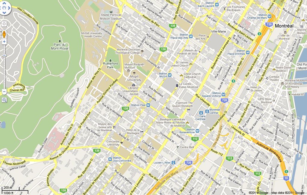 Mtl
Mtl by
sens_31, on Flickr
Quebec City
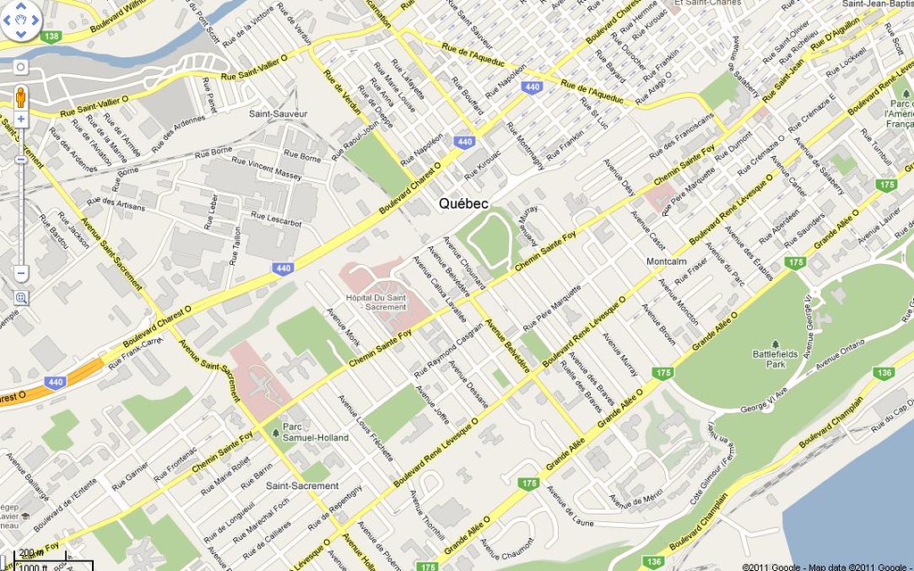 Que
Que by
sens_31, on Flickr
Halifax
 Hfx
Hfx by
sens_31, on Flickr
St. Johns
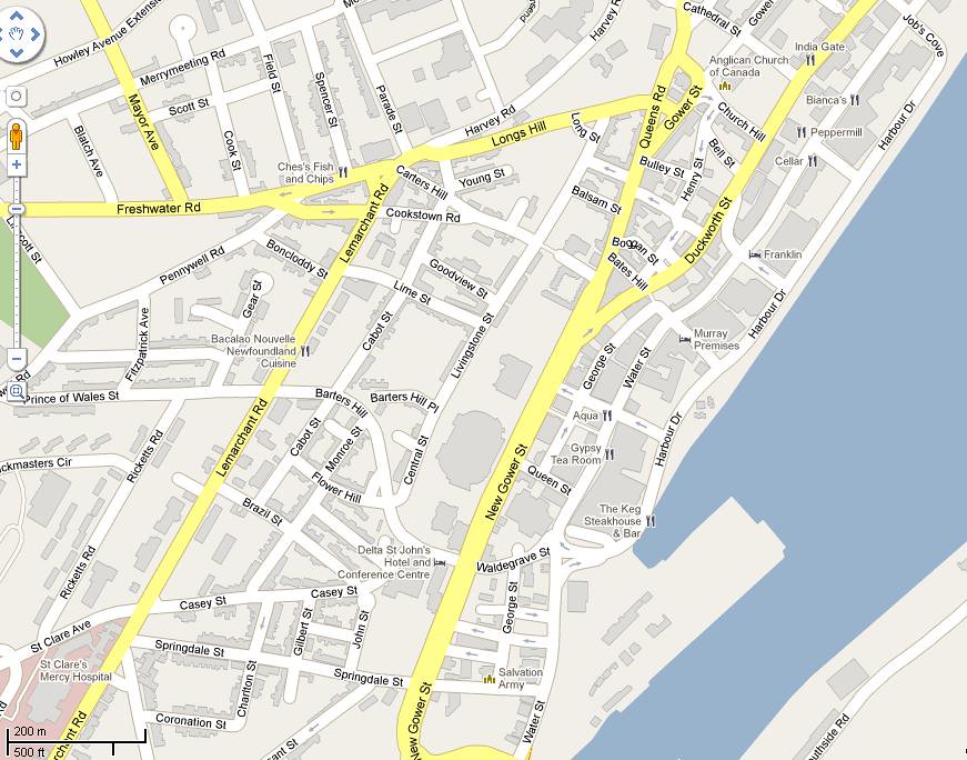 SJ
SJ by
sens_31, on Flickr


 Threaded Mode