Quote:
Originally Posted by testarossa50

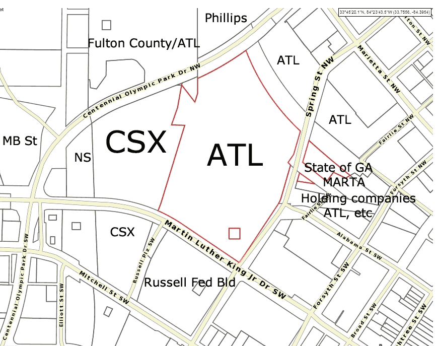
Do you happen to know what the ownership of the wye that runs from east to south on that map is? It appears to go through City of Atlanta, but it's a very busy CSX rail line.
|
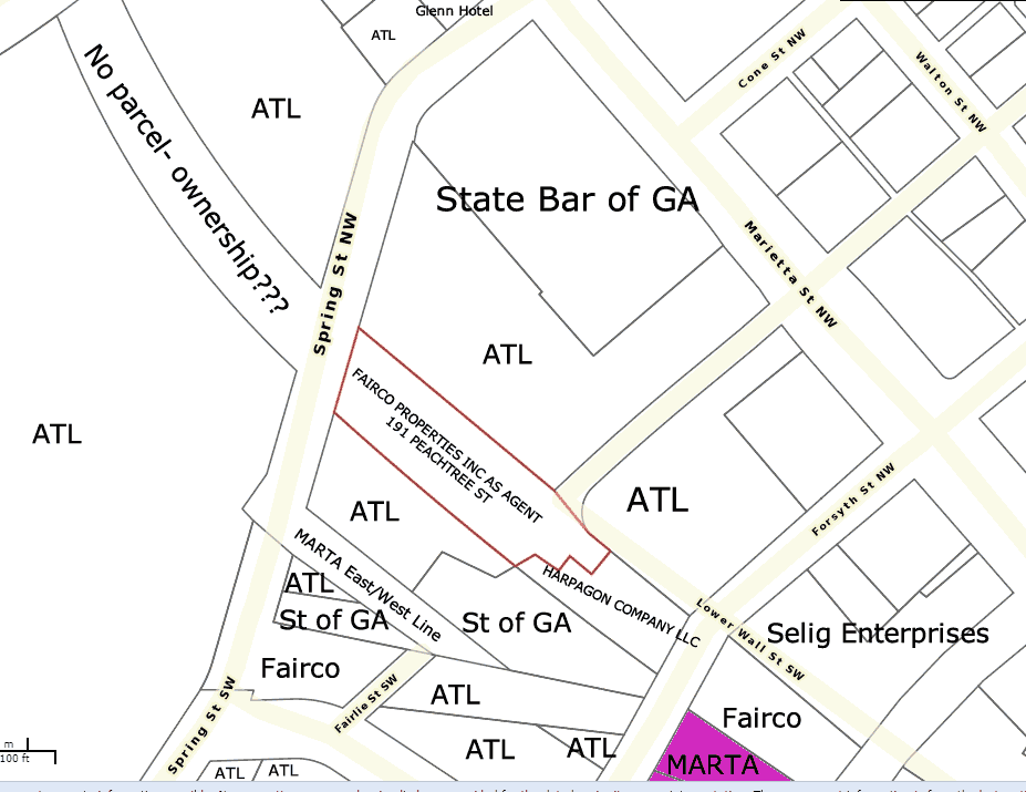
The strip of land that goes under the CNN deck you are alluding to does not have a parcel- it appears to be part of an old road bed and connects directly with the spring street land, however, perhaps there is a mistake in the records. Cooperation with CSX and NS is obvious since commuter rail will not work without their right away and a usage agreement. Since I had some time, I put together another zoomed in land record pic. It appears 'Fairco' is some sort of land trust- the address suggests a lawyer's office. Who knows what entity actually owns that land. The pink triangle at the bottom is the 5 points MARTA station.
Since the 'Fairco' and 'Harpagon' land is the CSX right of way for their active rail line, I think several rail platforms could easily be built on the land to the south of that strip. The air rights could be used for a Bus terminal and other commercial uses. I'm sure CSX would sell their air rights for the project, however, they probably will want to preserve as much of their rail corridor as possible- and it appears what is needed is already owned by public entities at this point.





 Prev
Prev




 Linear Mode
