Quote:
Originally Posted by ethereal_reality

|
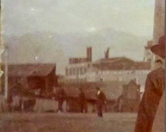
I think in the distance is the Kerckhoff-Cuzner Mill and Lumber Company at the NE corner of Alameda and Macy. That lines up with the photo looking north on Los Angeles St., just
north of Ferguson Alley.
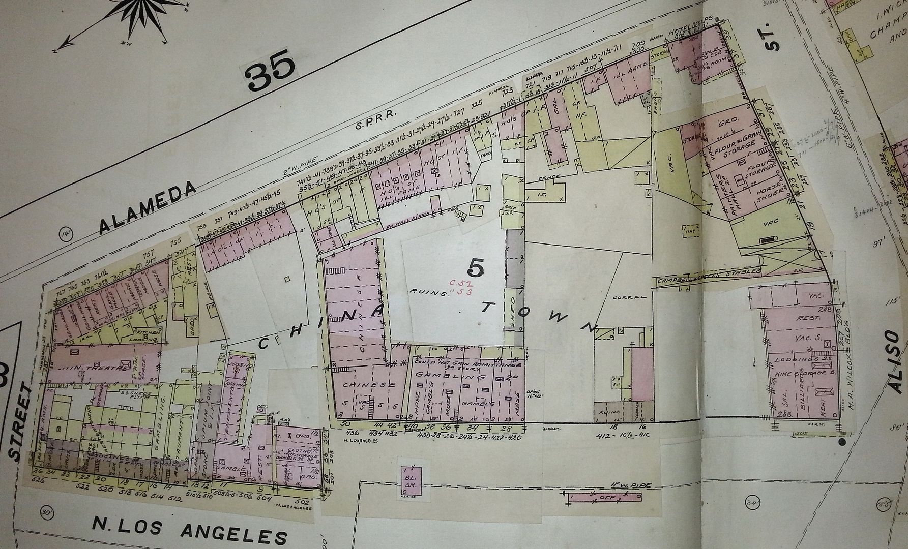
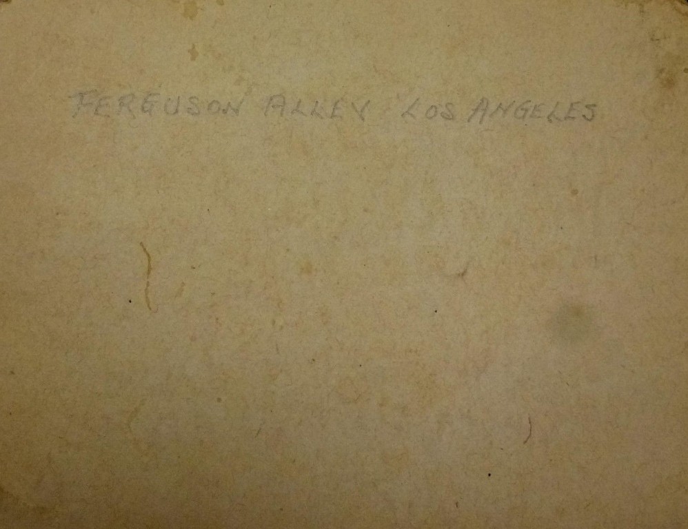
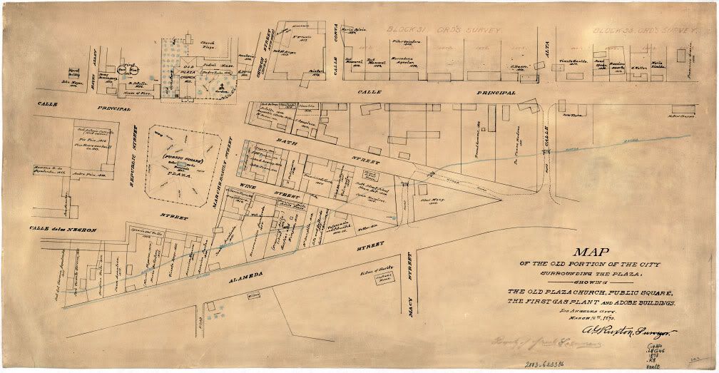
With north on the left, here's Chinatown on the 1888 Dakin Illustrated Map of Los Angeles (corrected to 1891). The Lugo House is at lower left, one building south of the corner of
Los Angeles and Marchessault Streets. On the map, pink = brick, yellow = frame, and gray = iron; the map legend has no color for adobe. Ferguson Alley, though not noted on the map,
runs between Alameda and Los Angeles Streets, where the "I" in "Chinatown" is.
LAPL (Flyingwedge photo)





 Prev
Prev



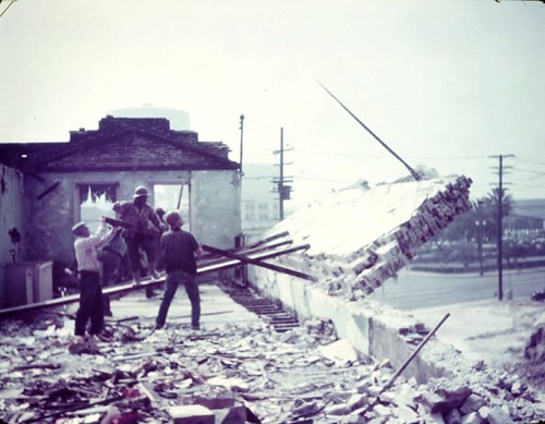
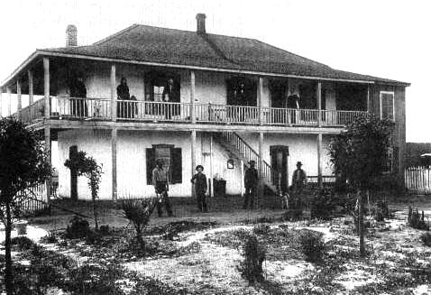


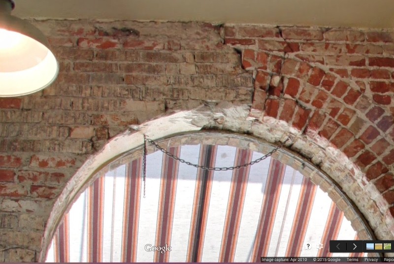
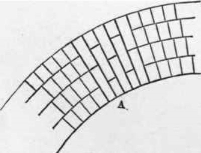



 originally posted by gsjansen.
 originally posted by Los Angeles Past








 Linear Mode
