Quote:
Originally Posted by bzcat

But why? 
That's the worst of both worlds... limiting further extension options AND giving people a horrible transfer back south towards where they want to go.
If you end the line there in front of Union Station, you limit the options to extend the line to Westside. You also force a lot of riders to backtrack to Civic Center and Financial District via a horrible walk to Gold (future Blue) and Red/Purple lines platforms. There is not a lot of benefit from having the line end in front of Union Station but lots of downside and problems. |
Don't ask me, ask metro lol their map shows it ending in front of Union Station and the line description also plops it in front of Union Station.
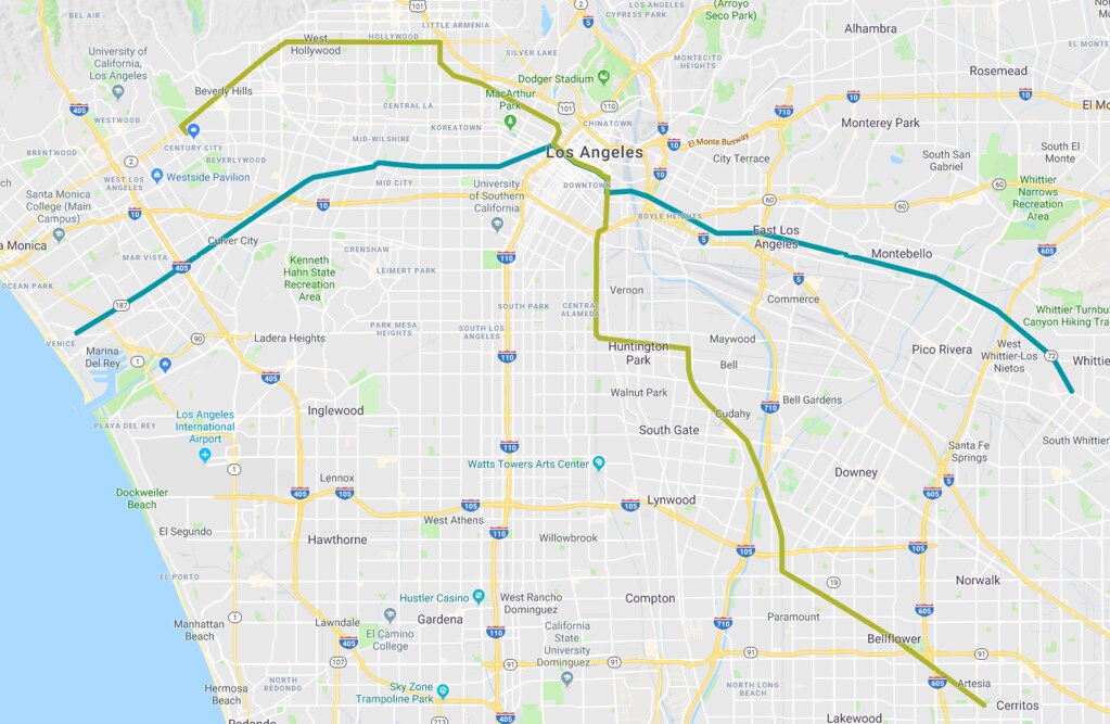
.Union Station via Alameda: The WSAB would travel north along Alameda Street towards Union Station, with stops at 7th Street and Little Tokyo and at terminus adjacent to Olvera Street.
But how exactly would it limit extension options ?
If anything, it creates waaaaay more.
1. Sunset to Santa Monica, hitting Weho and Century city (which is my personal favorite)
2. Sunset to Hollywood
4. Sunset to Melrose
(Any west side line south of Melrose needs to just continue on to downtown where people can transfer and those lines can continue on to the east side)
5. Sunset to downtown Glendale where it ends where that future proposal a few years back was for that light rail down the center of the 134.
http://laist.com/2016/03/08/hide_the_traffic.php
6. Sunset to Glendale where it makes a sharp left down Glenoaks and continues on to downtown Burbank and ends at the Burbank Airport.
7. (the least dense route) Sunset to the LA Zoo, the Old Zoo and the movie studios in the Valley before continuing on into the Valley
(This Option gives the valley many different routes)
8. Once in front of Union Station, it follows the main street/Valley Blvd route where it passes LAC/USC Medical center, Cal State LA, Alhambra, Rosemead, El Monte, Baldwin Park and West Covina.
Metros is trying to make Union Station somethings its not.


 Prev
Prev


 Linear Mode
