Quote:
Originally Posted by ethereal_reality

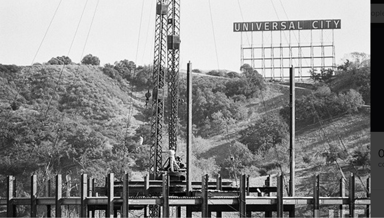
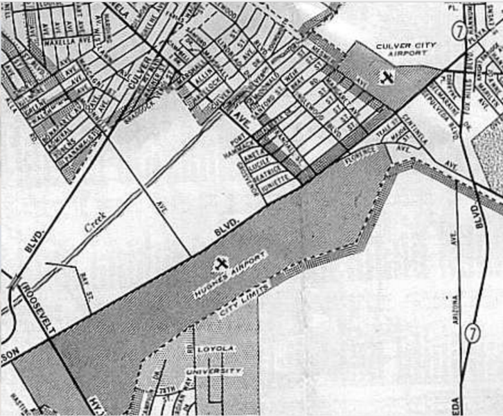
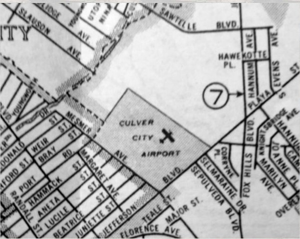
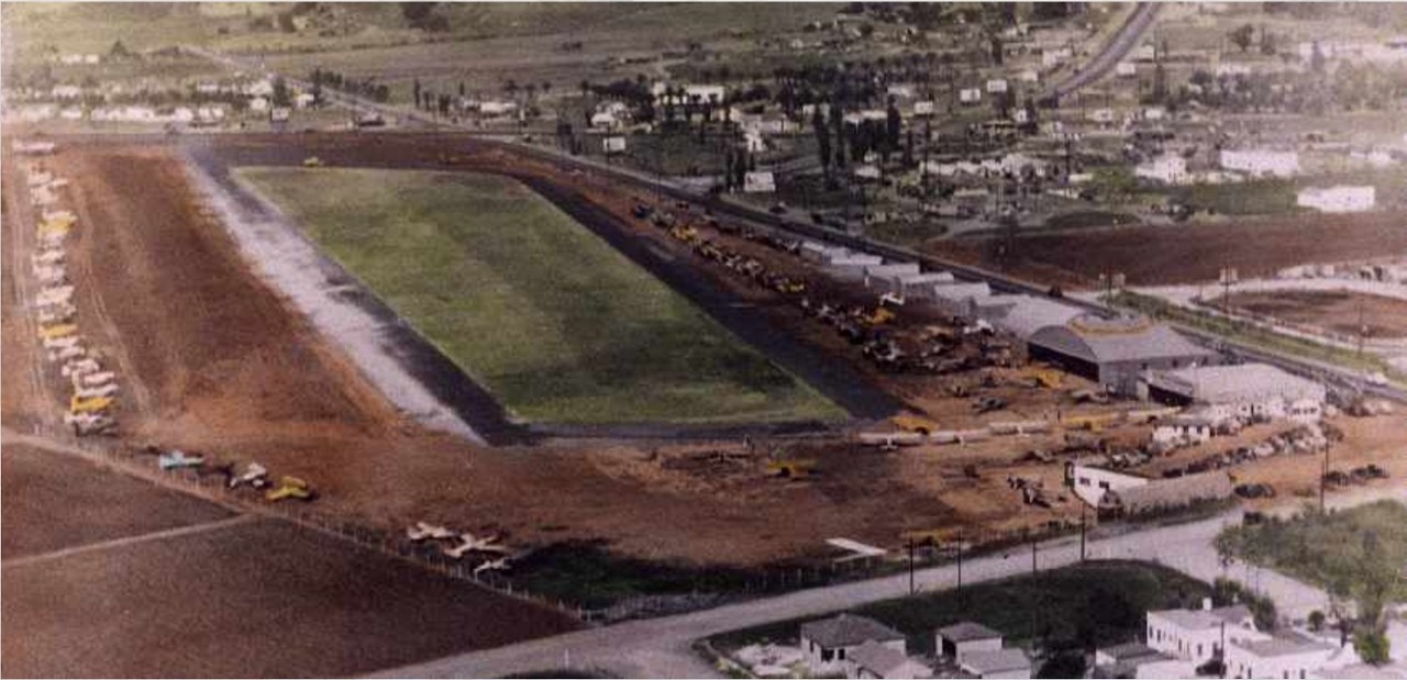
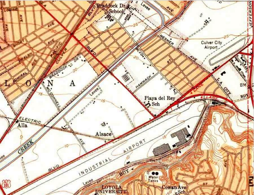
When I first read 'Culver City Airport' I thought they were talking about Hughes Airport.
|
You got me thinking about a visit I made last year to the old Hughes property in Playa Vista, now occupied by YouTube and some other tech companies. It is now called the Hercules Campus, after the Hercules H-4 flying boat.
Website for the Hercules Campus:
http://www.herculescampus.com/
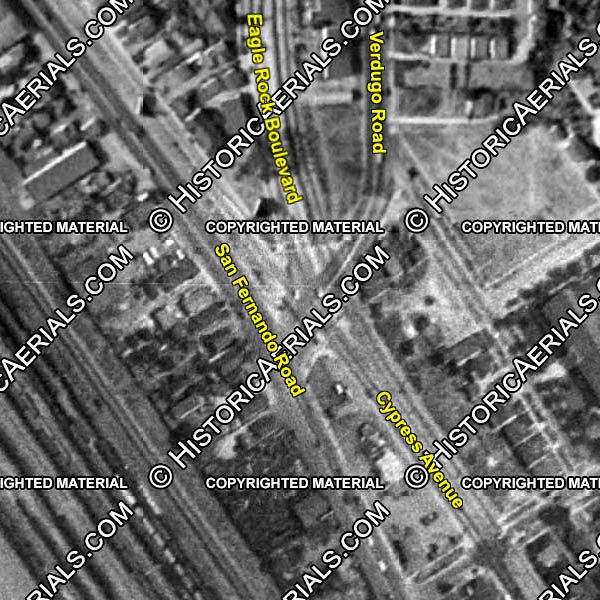
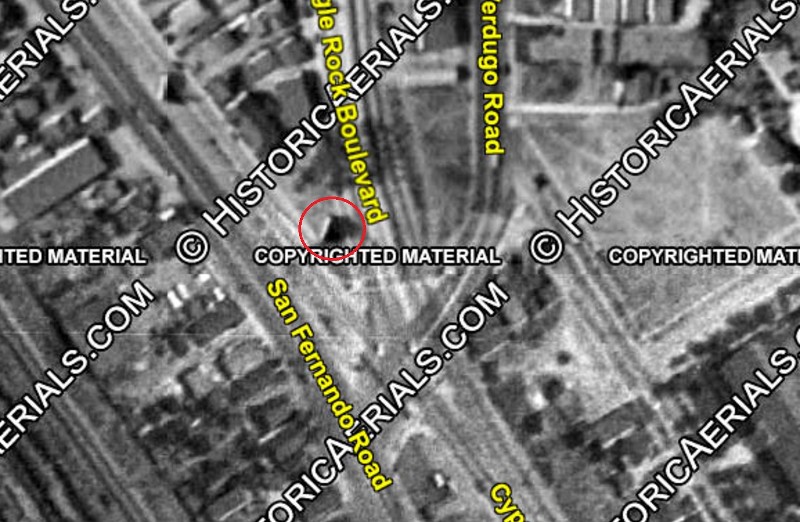
Location via Google Maps
The LA Conservancy arranged a tour of the property, and the giant assembly building was the reason I went. (My Dad worked for Hughes Aircraft, but at the GSG campus in Fullerton)
I searched the forums but don't see any mention of this building.
Fuselage of H-4 peeking out of the west door on the north side of building 15.

Photo from SlashGear article on recent sale
http://www.slashgear.com/google-buyi...-why-27343097/
Google bought the property in 2014, but haven't yet moved in.
This article dated June 6, 2016 suggests their move is impending, but no date is announced
http://la.curbed.com/2016/6/6/118723...e-spruce-goose
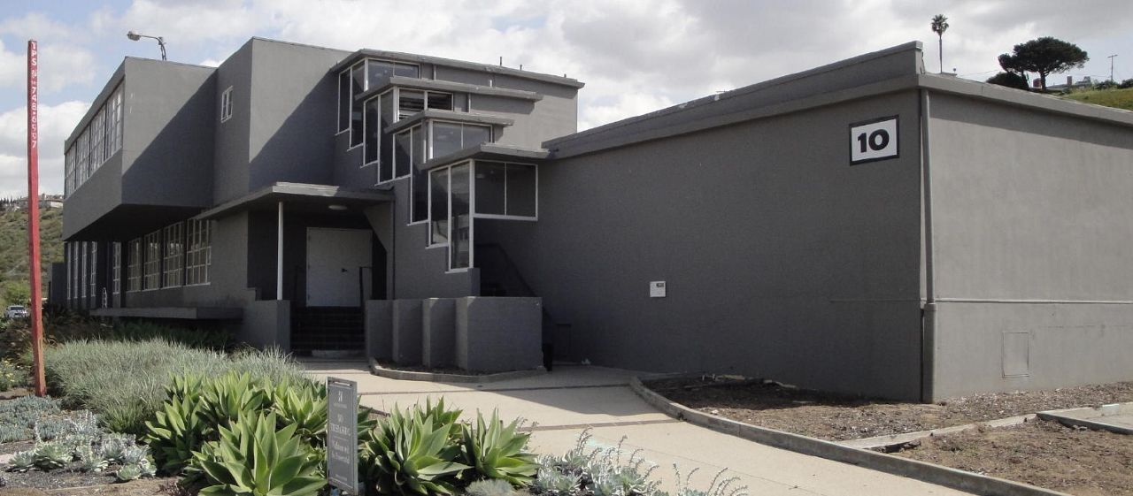
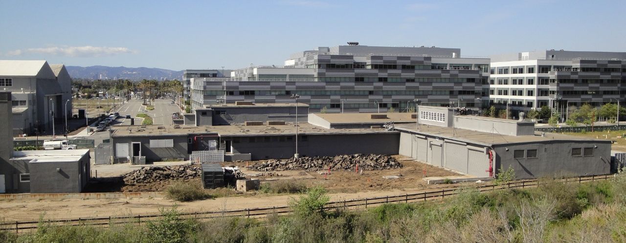
There are photos better than mine which attempt to show the scale of this hangar building. It's massive. It is building 15 on the campus.
North side of building (fuselage assembly side)

photo sourced from
http://la.curbed.com/2016/6/6/118723...e-spruce-goose
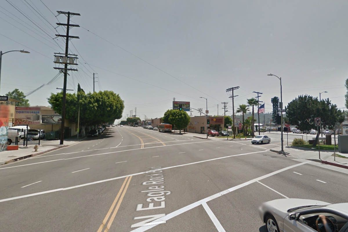
East side of building

google street view
The green fence is new, and was not there during last year's tour.
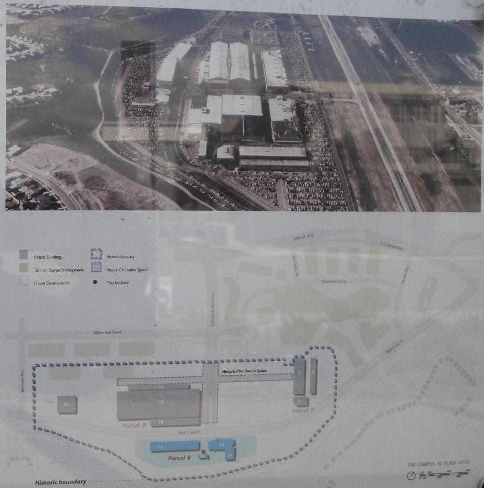
The LA Conservency trained docents to guide us around the property, but they weren't prepared to answer questions comparing the size of this hangar to the old blimp hangars at Tustin. (
The Tustin hangars are 1072 feet long by 292 feet wide by 192 feet tall according to Wikipedia)
Still, this building is massive. The entire structure was divided in half, with the fuselage being assembled on the North side, and the wings being assembled on the South side. Offices were constructed down the center of the building.
Wing assembly inside of the South side of building 15

Sourced from 2008 article about the property being put up for sale
http://www.playavistahomesales.com/n...ngar-for-sale/
My photos with people for scale. Everyone looks tiny.
View from entrance on West end of South side of building 15 (wing assembly side)

photo: mine
Roof detail of center of building, over the offices

photo: mine
People in giant doorway on East end of South side of building 15 (wing assembly side)

photo: mine
View from the East end of the South side of building 15 (wing assembly side)

photo: mine
LA Times article about the campus closing in 1994
From article above:
"Building 15, as long as 2 1/2 football fields, with a ceiling eight stories high, was thought to be the world's largest wooden structure when it was finished, according to Hal Klopper, a McDonnell public relations official and the plant's unofficial historian." This building was built in 1943. The H-4's first and only flight was in 1947.
Here's a great account of the property from someone who was on the Hercules campus during the filming of Independence Day in 1995. He's posted a lot of photos of the condition of the property at the time.
http://www.placesearth.com/usa/calif.../hughes1.shtml


 Prev
Prev


 It was much more substantial than I remembered!


 Linear Mode
