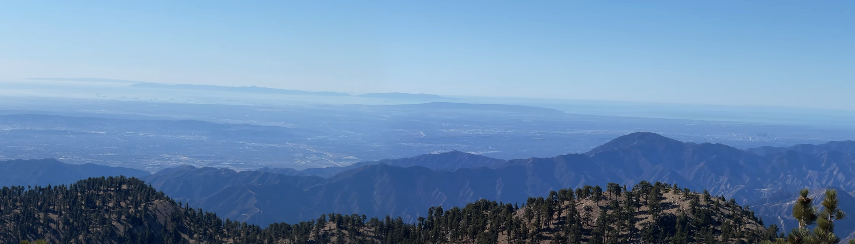
I took this yesterday from the summit of Mount Woodson.
Elevation 2,901ft on a chilly 45F afternoon.
As the crow flies, from the summit, it is 23.5 miles to Downtown San Diego and the Pinnacle residential towers in the East Village.
The islands are in Mexican waters and are about 44-48 miles away.
The tip of Point Loma is 28.4 miles out.
Can you spot DTSD, Point Loma and the islands?!?
 Mt Woodson Summit
 by
Manuel Sanchez, on Flickr
Bonus shot, Pinnacle residential towers in the East Village are 23 miles from Mt. Woodson summit, they're visible on the left side of the downtown cluster.
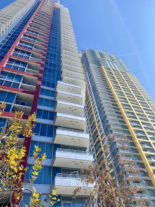 Pinnacle
 by
Manuel Sanchez, on Flickr


 Prev
Prev


 Linear Mode
