With the purchase of a 5-day Edge Card one gets two free summer days up on Whistler. Two weeks ago on the first June weekend the weather was perfect with temperatures of up to +34C predicted for the valley, so we decided to drive up there to check it out.
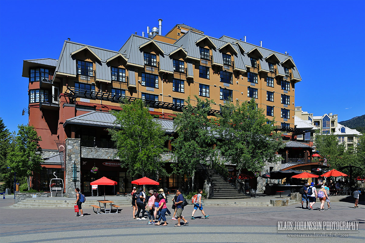
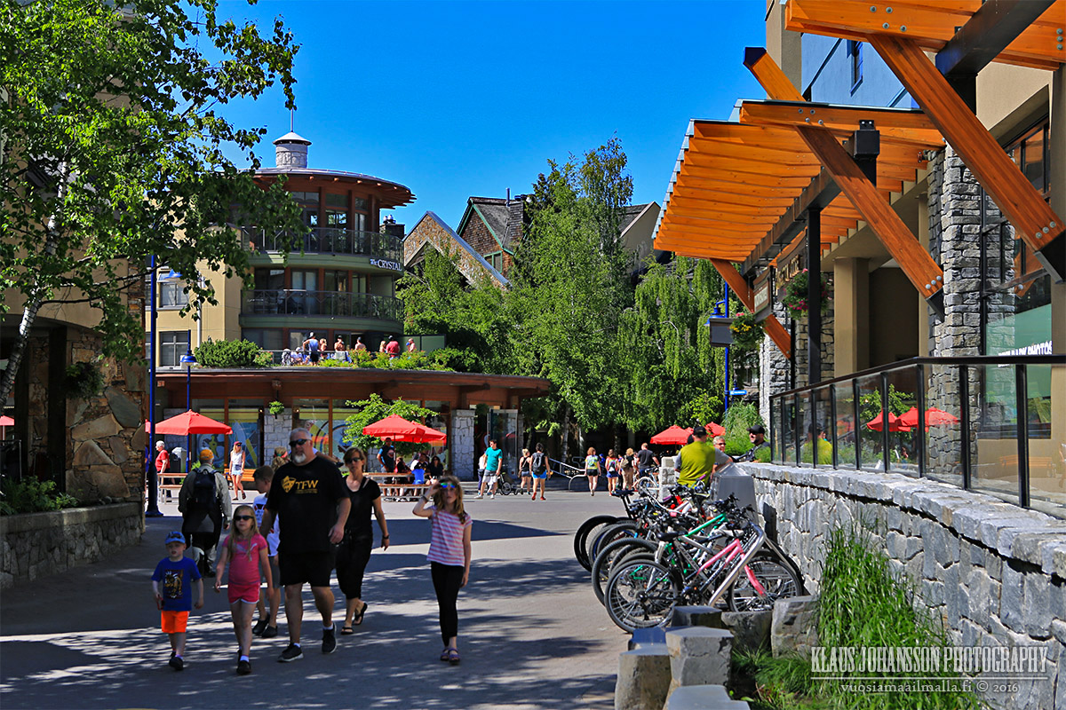
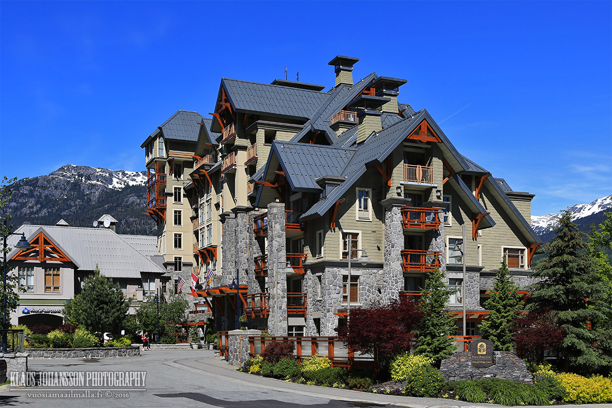
Upon arriving in Whistler the day was already hot and summer was at a full swing in the valley.
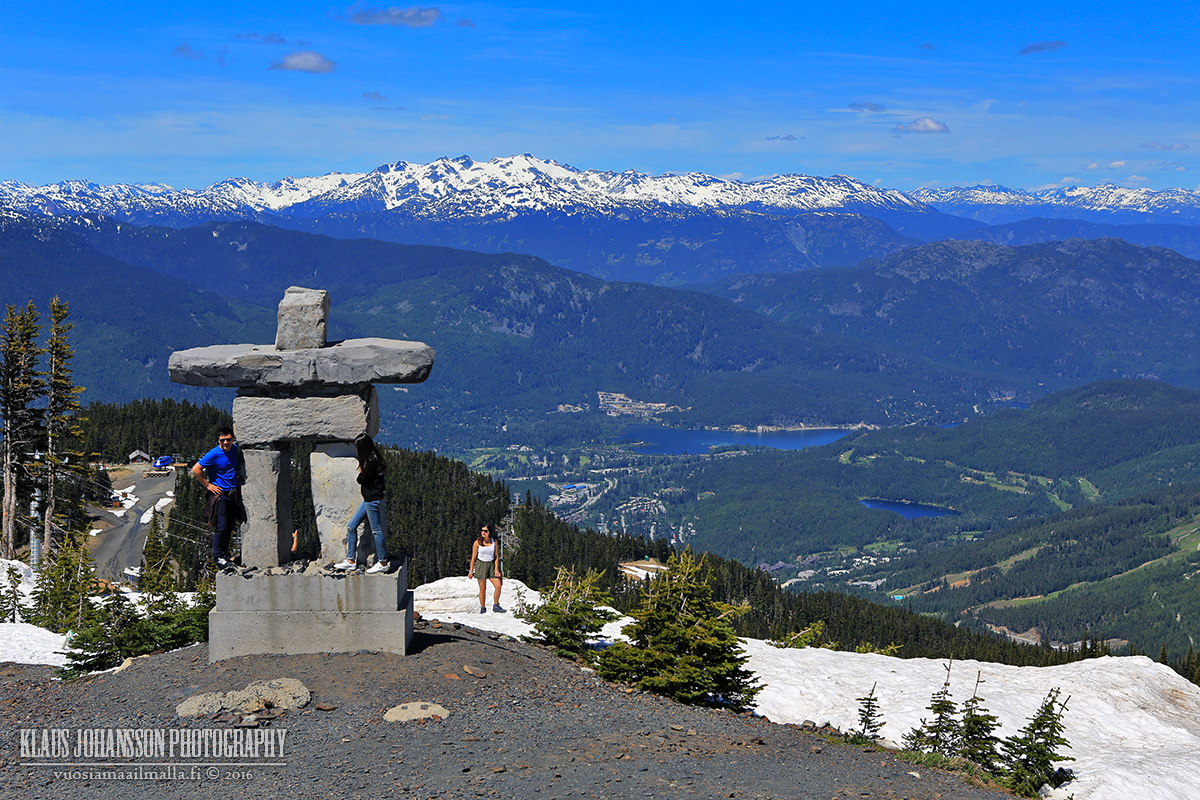
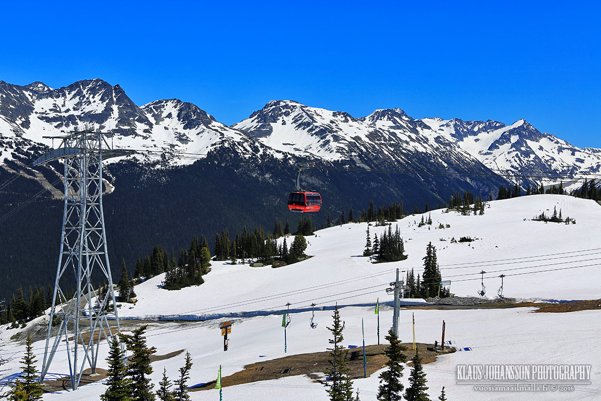
Up on Whistler mountain it was a different story though and it felt more like early sprint.
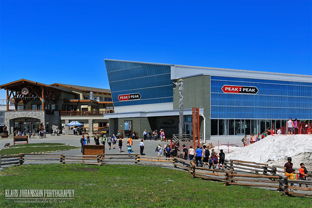
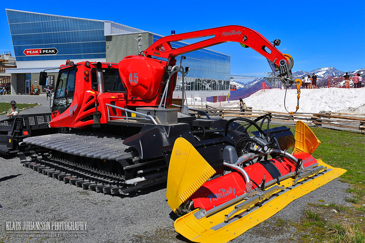
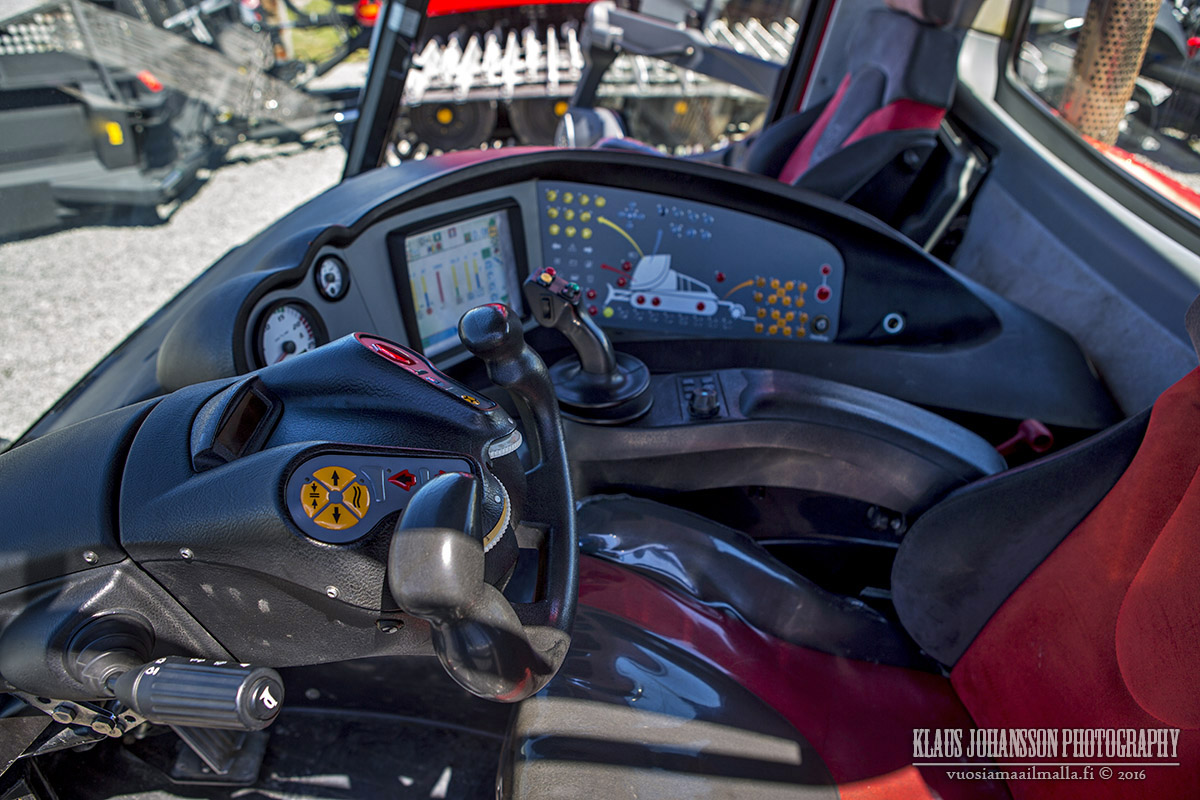
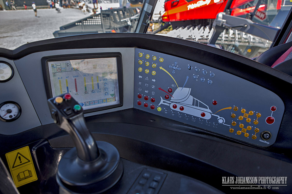
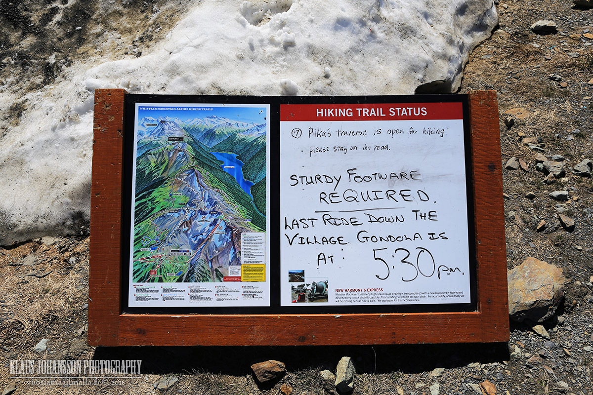
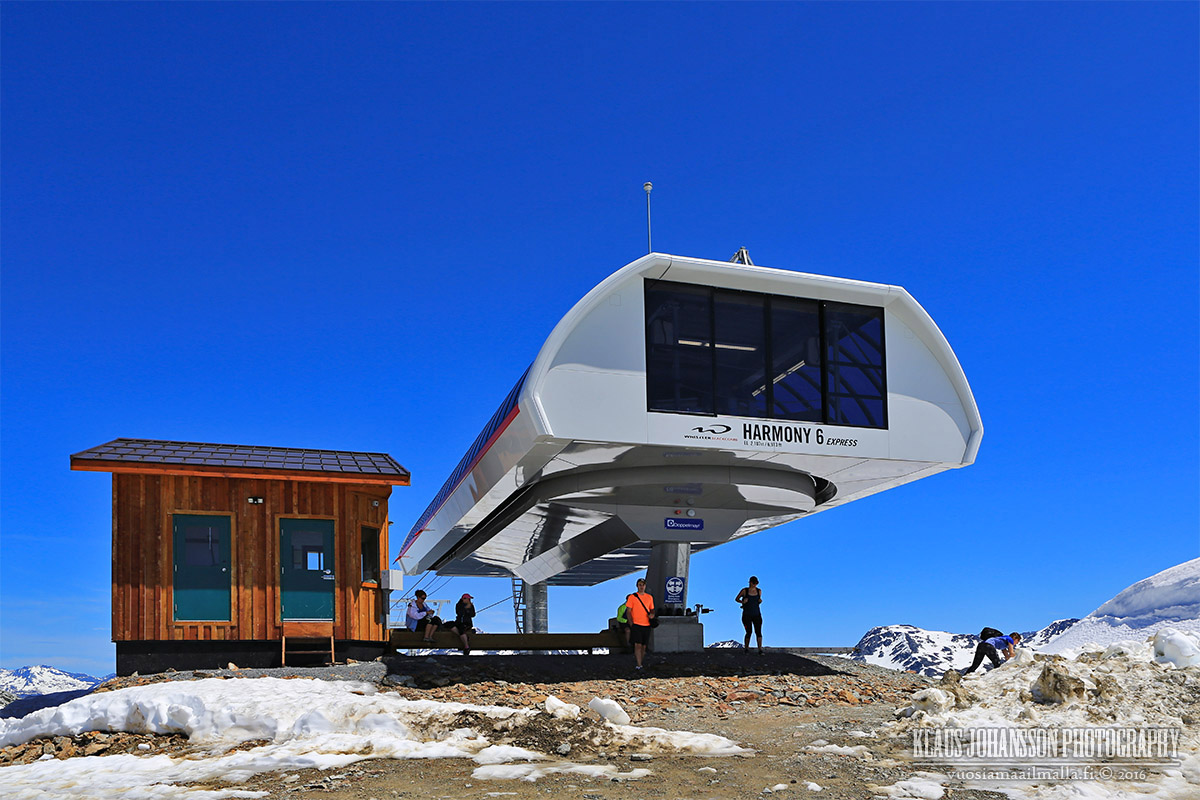
All kind winter equipment is up on display for the visitors which is quite interesting.
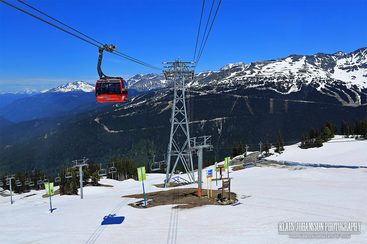
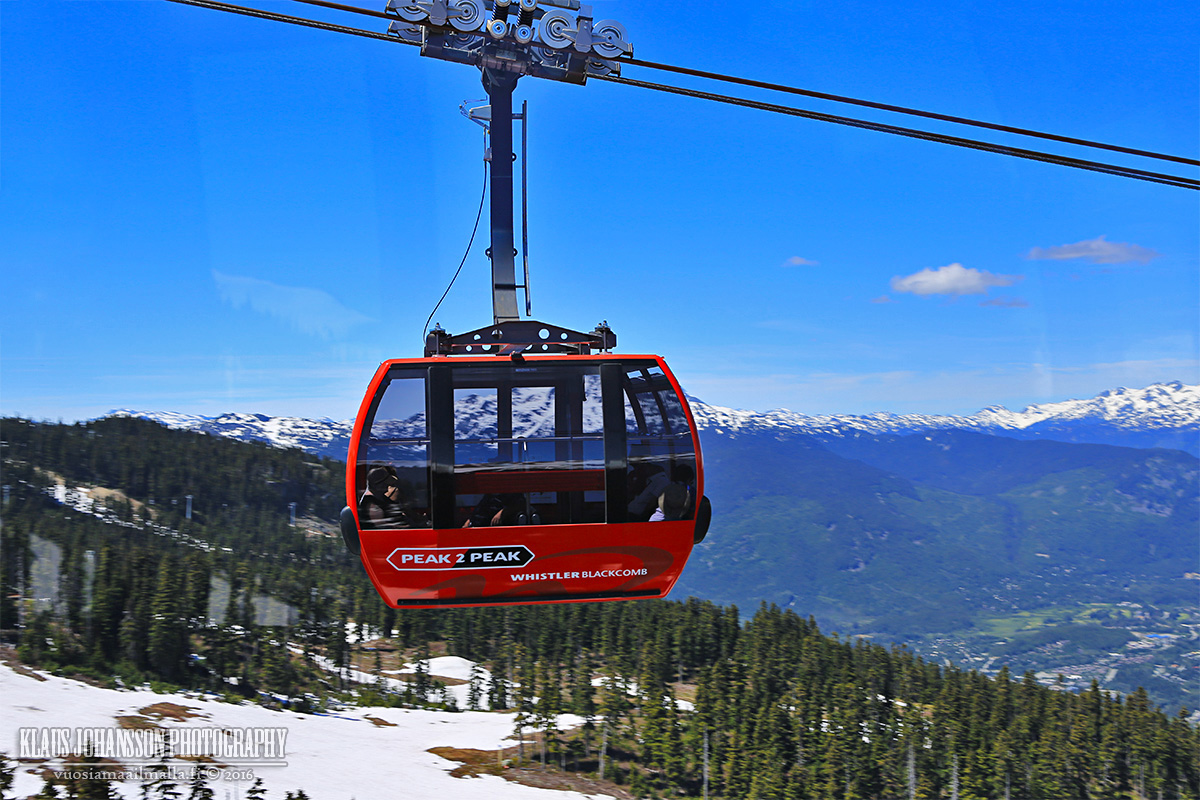
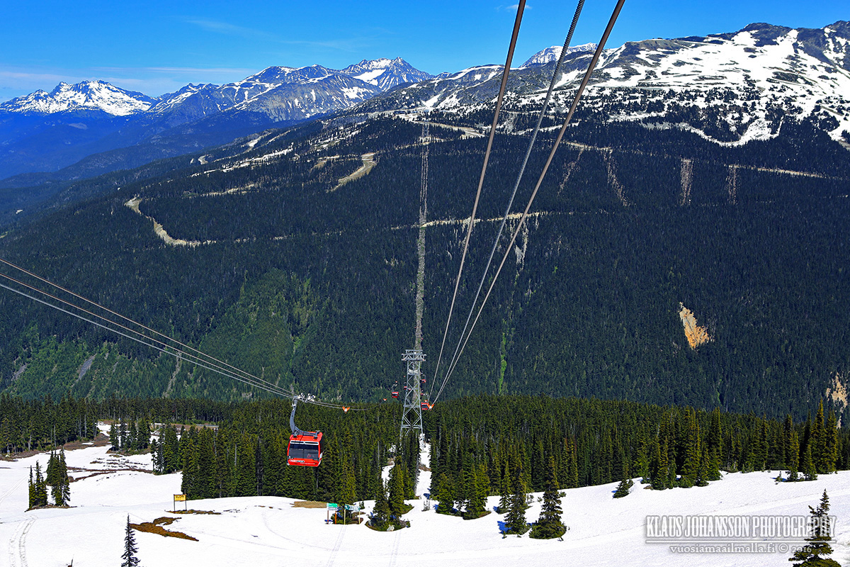
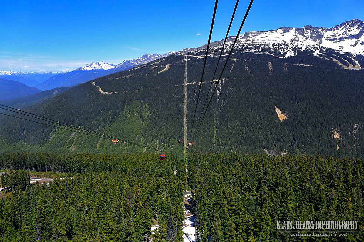
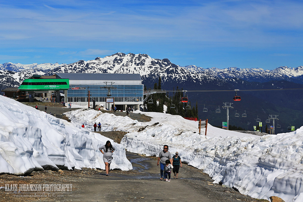
Peak 2 Peak was also running so we decided to take a return ride to Blackcomb.
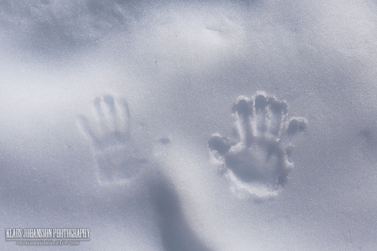
Just beautiful.
Long way down...
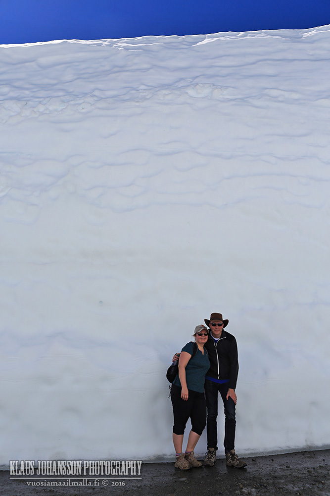
Blackcomb is melting quickly, but lots of snow still remains.
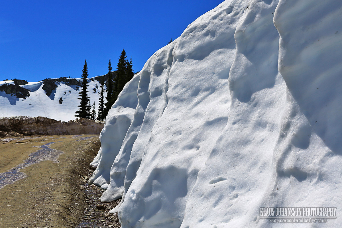
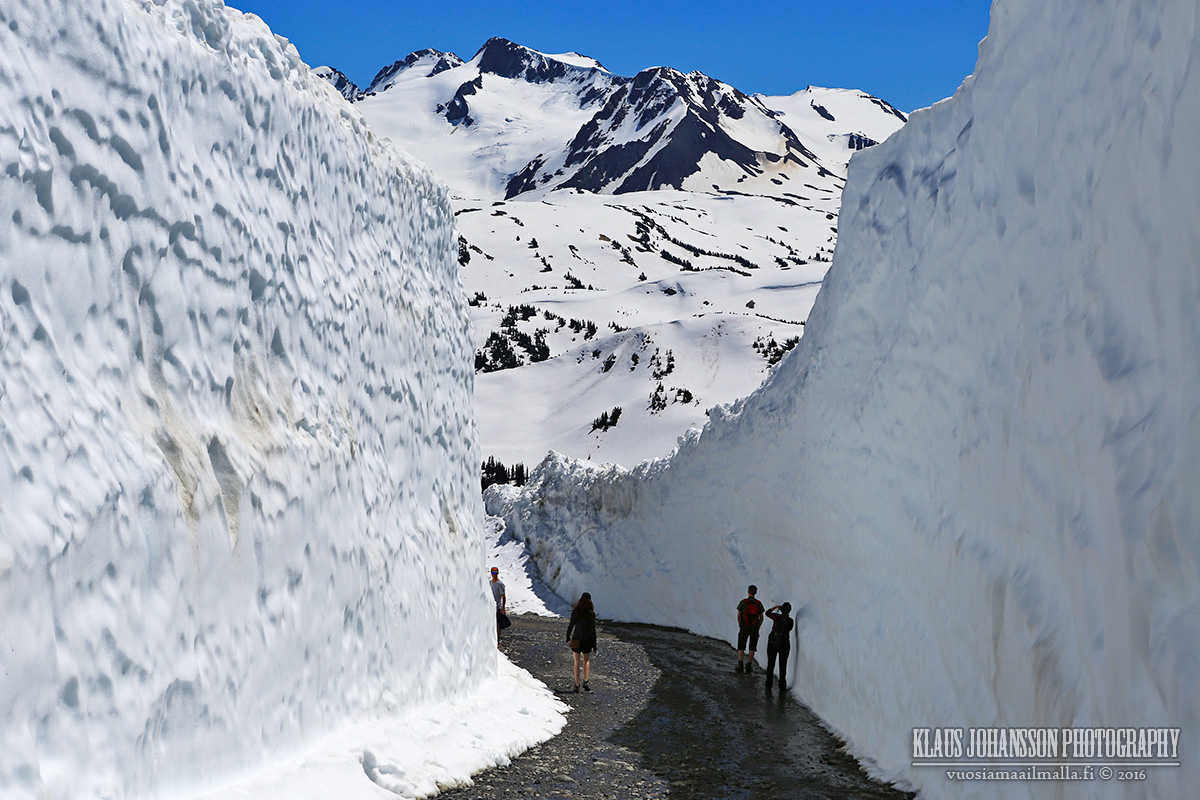
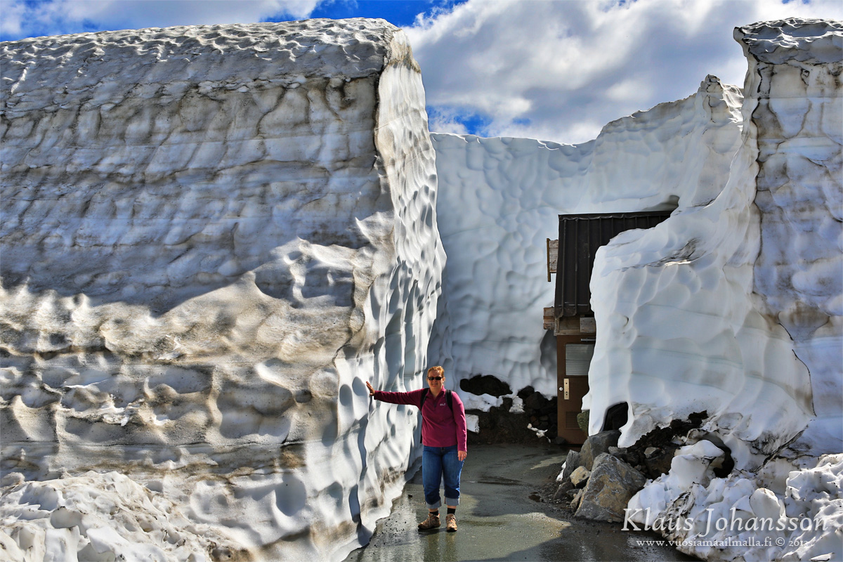
The real reason for visiting Whistler was to see the legendary Whistler Snow Walls. More photos of them in part 2 soon.
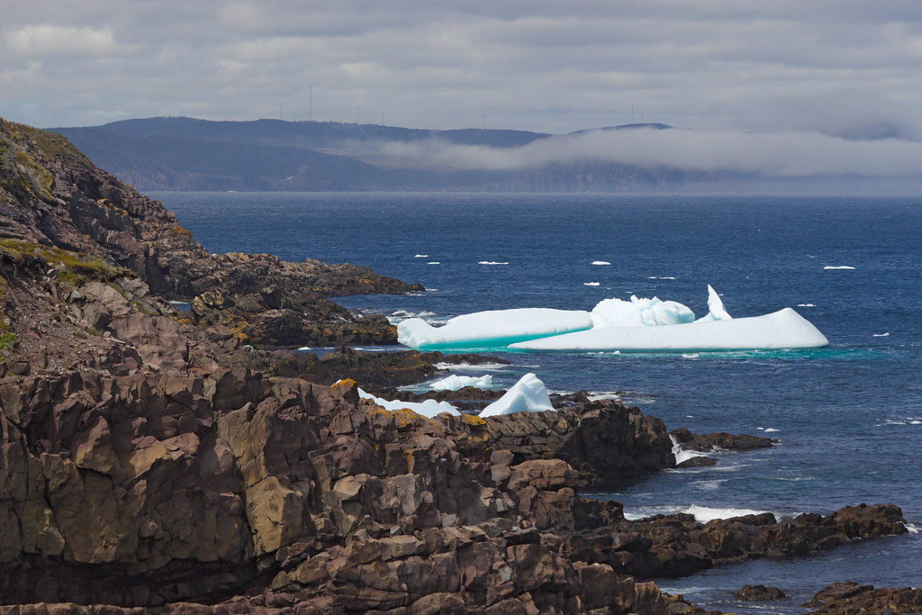
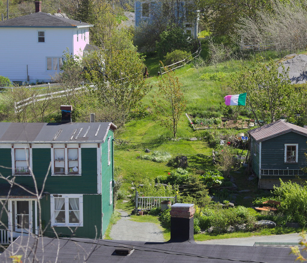
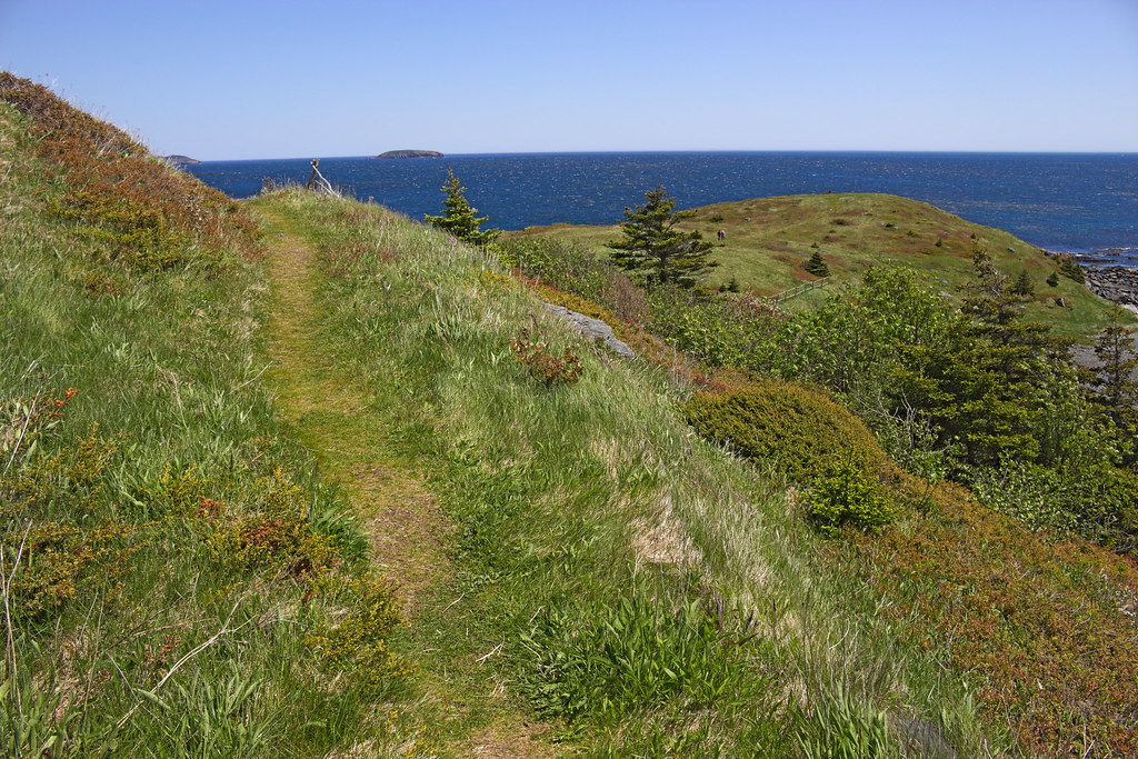
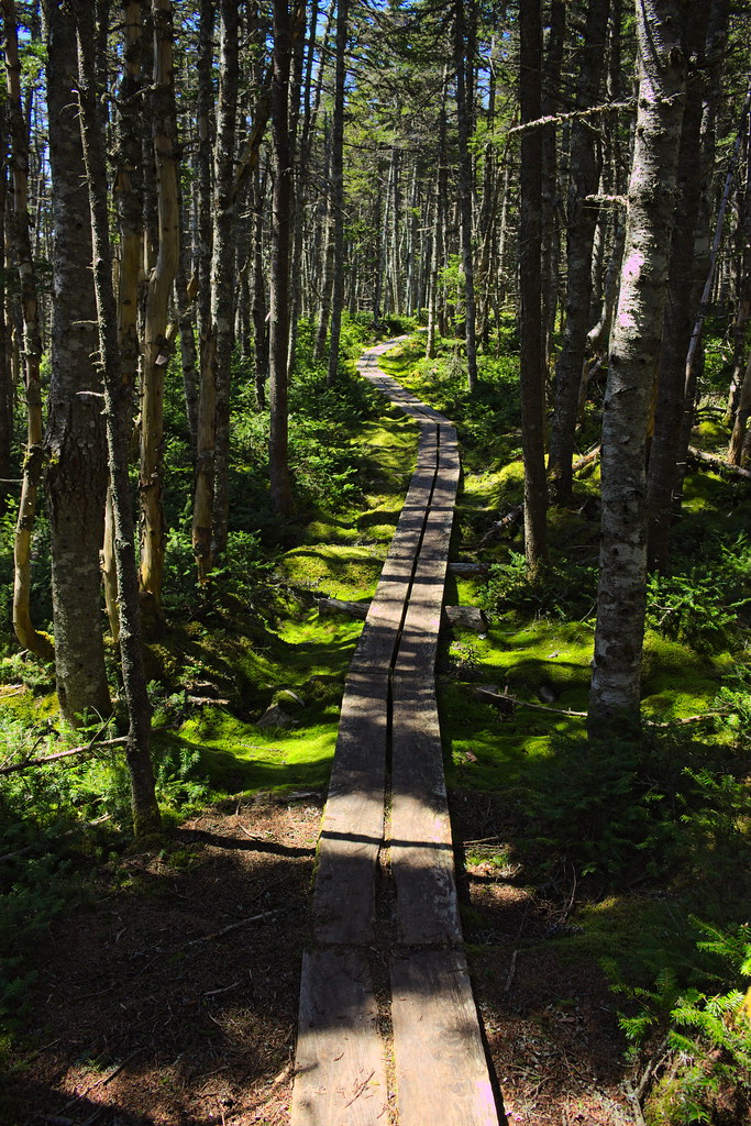
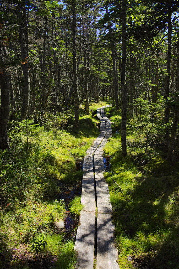
Tors Cove to Witless Bay today. It's on the Southern Shore, south of St. John's, the most densely Irish part of the island (excluding a few random towns elsewhere such as Tilting on Fogo Island).
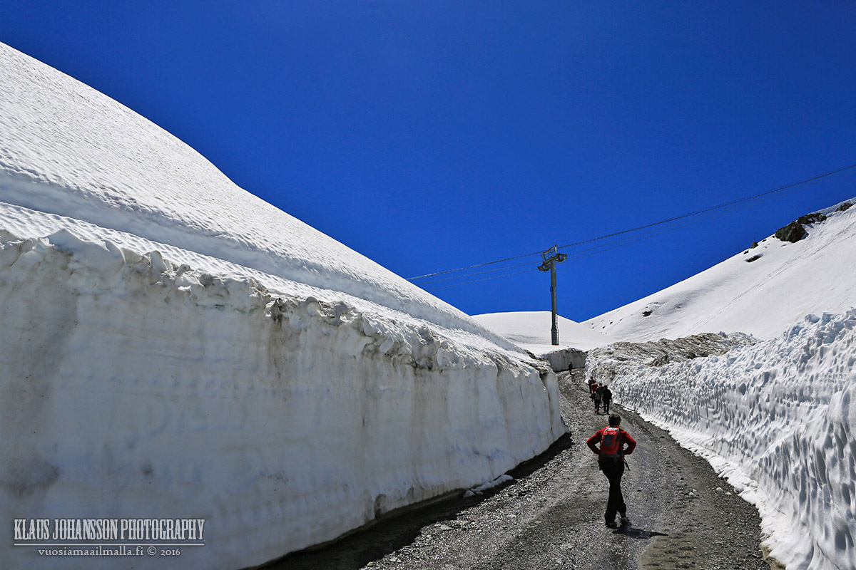
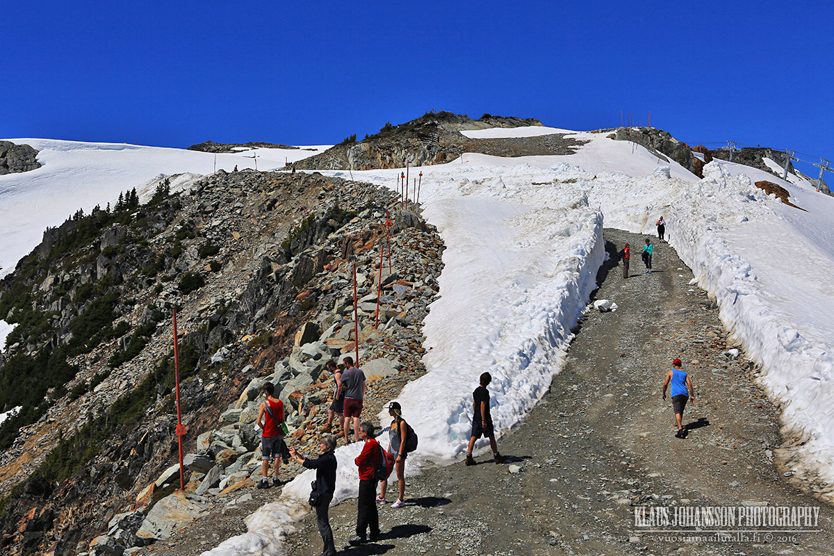
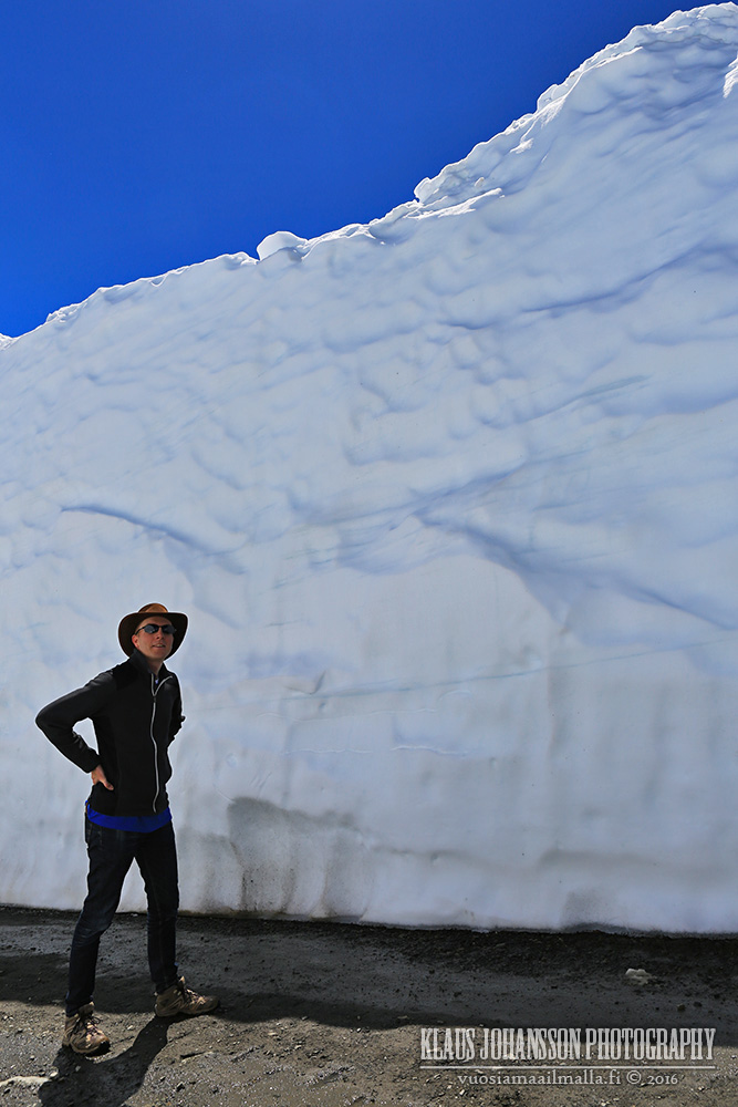
And here's part 2 from our trip to Whistler two weeks ago. The reason for us driving up there was to check out the amazing giant snow walls on Whistler Mountain in every spring.
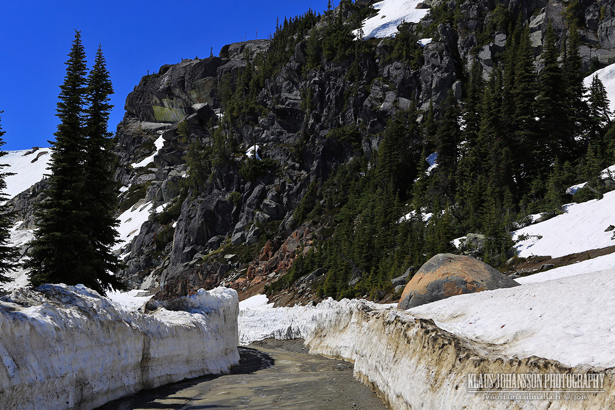
The reason for snow walls is a service road up the mountain that the crew has to open for performing summer maintenance for sky lifts. It follows the a ski run called Pika's Traverse which is an easy green ski run down the mountain.
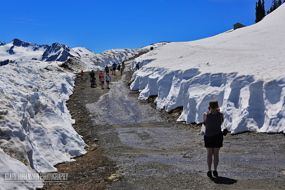
Even though it was over +30C down in the valley, the weather on the mountains was cool and breezy. The snow is also so cold that it cools the air even more so dress warmly!
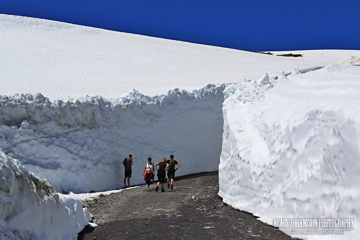
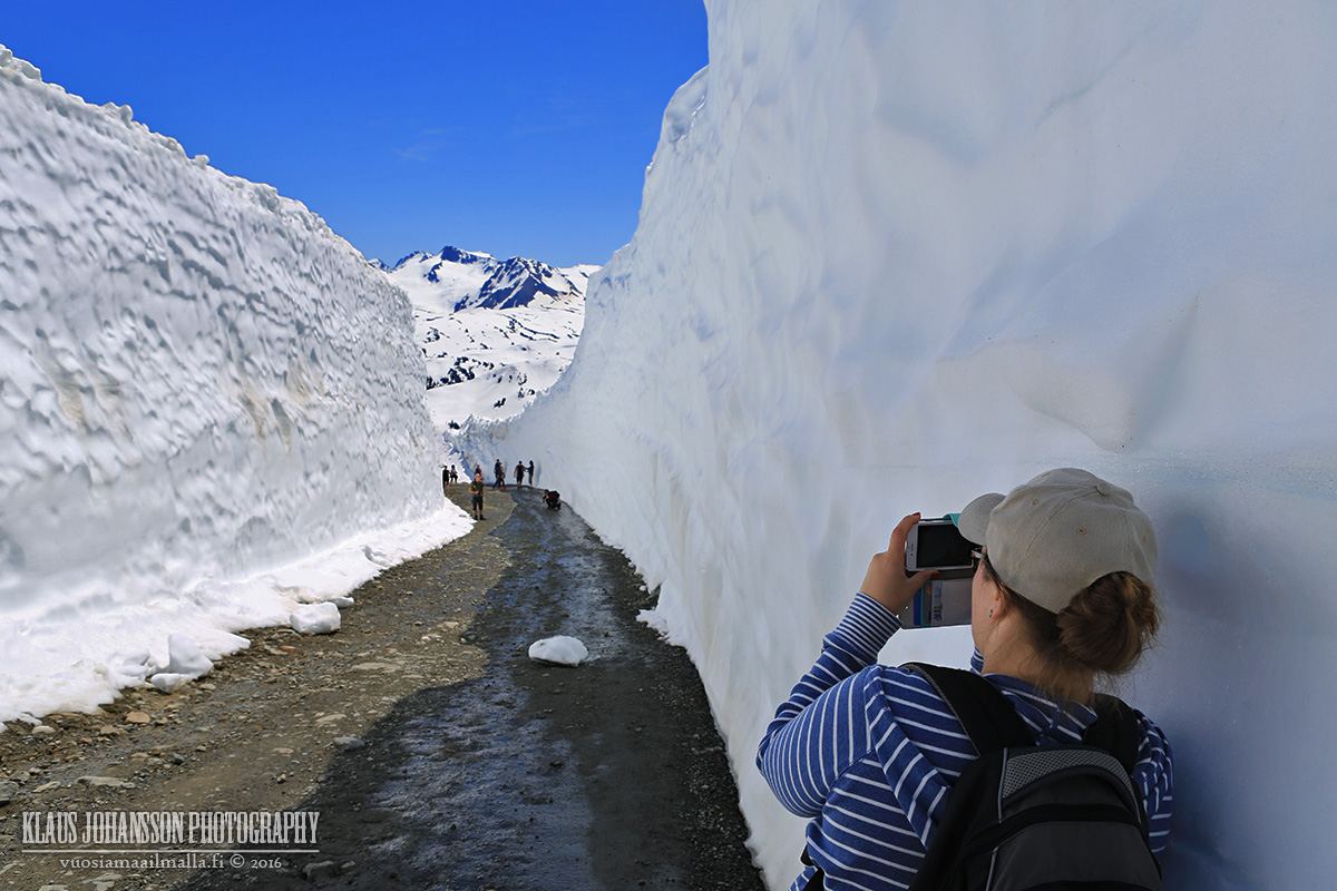
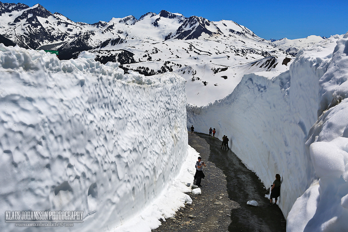
The further one walks, the taller the walls rise.
During winter this green run is so easy and fast to ski down, but it's a different story heading up. It's a fairly steep and exhausting climb!
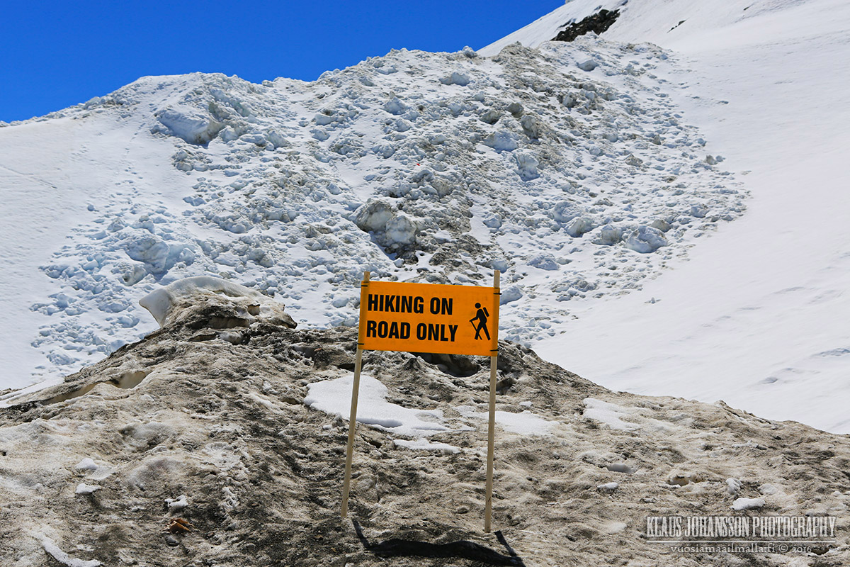
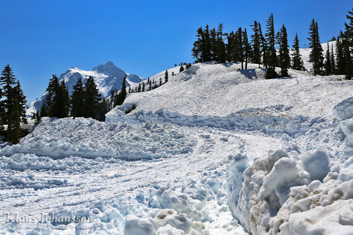
The risk of avalances is still possible - in June!
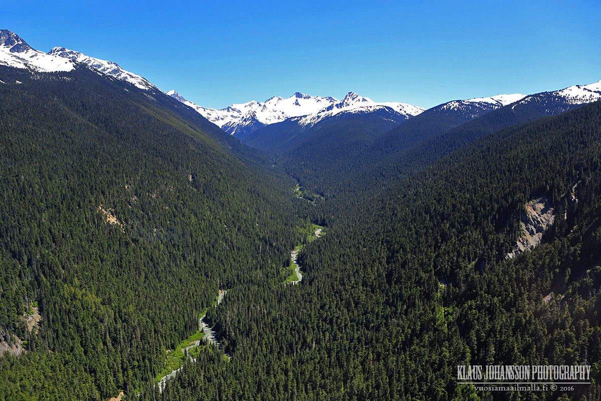
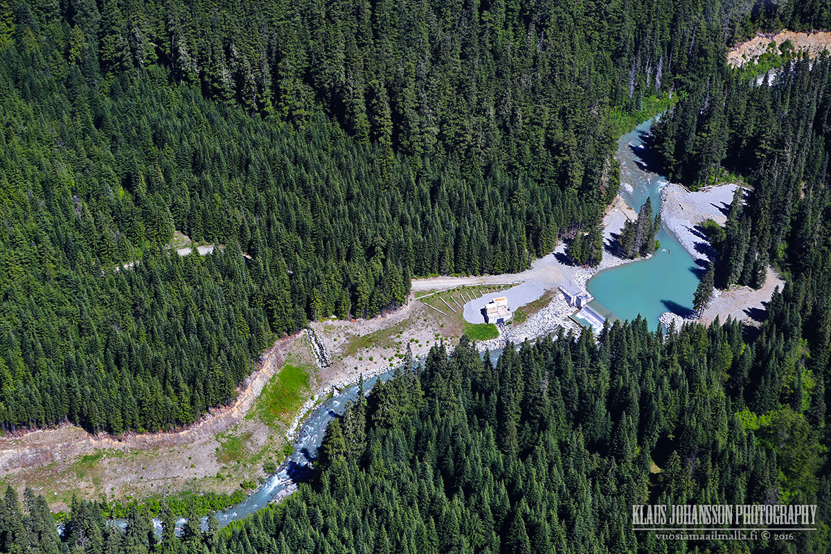
Looking back where we came from.
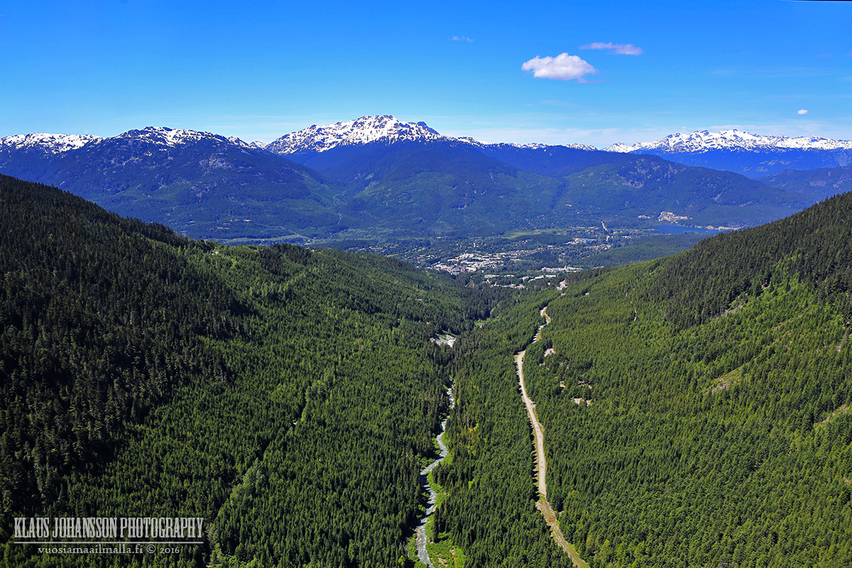
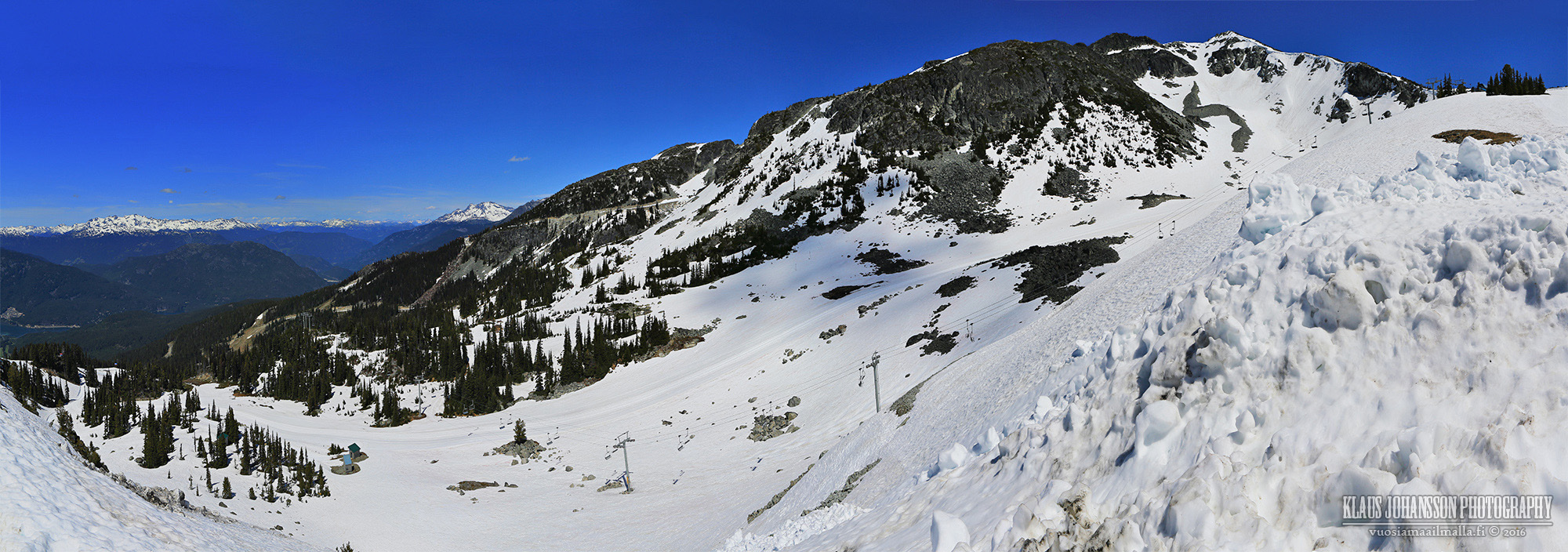
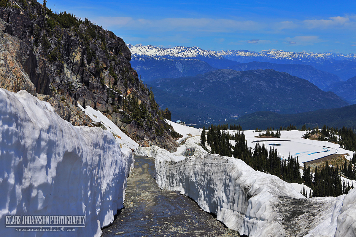
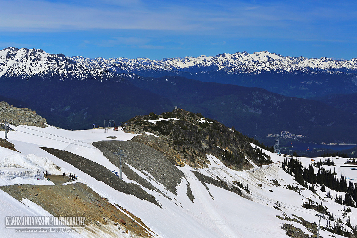
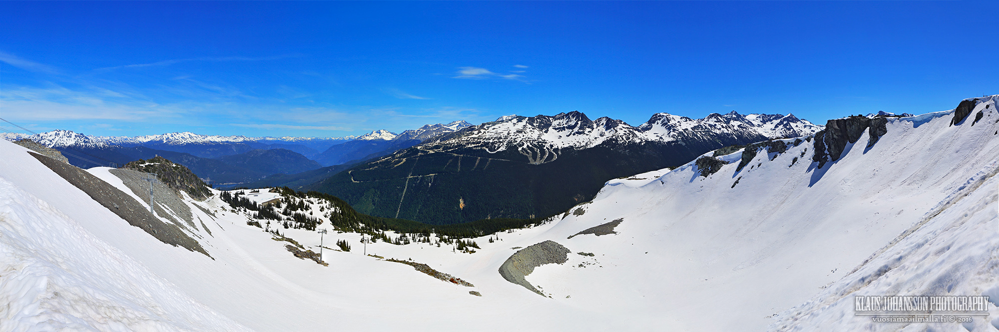
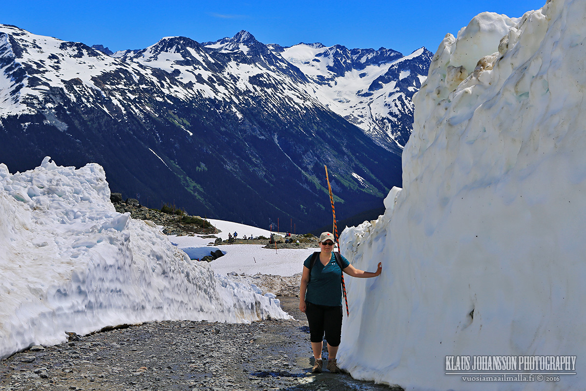
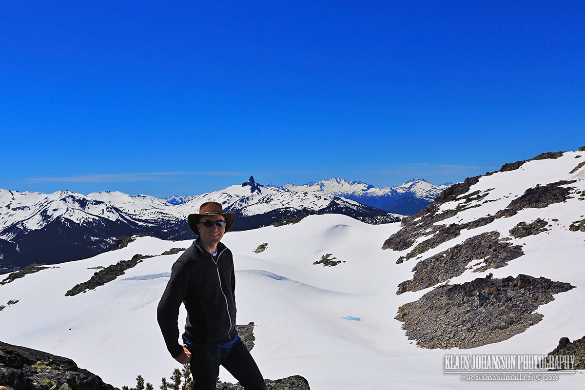
On a beautiful day the views are out of this world. The Harmony Bowl area in the picture is one of our favorite ski areas in Whistler. Blackcomb Mountain on the opposite side (connection over the valley via Peak 2 Peak gondola, see my previous post).
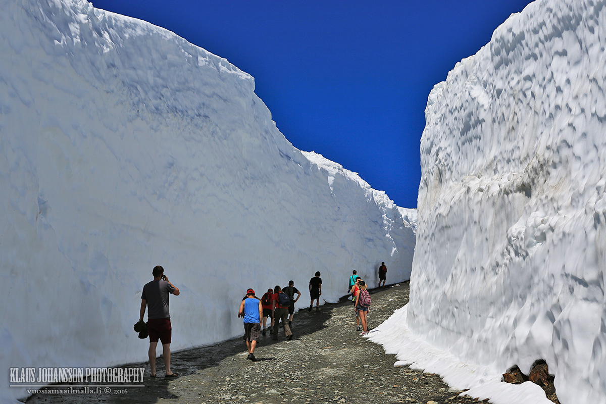
Last winter Whistler received 12.34 meters (485 inches!!) of snow which is only slightly more than on average. Up here most of the snow is still intact and here is where the biggest snow walls are also located.
It is incredible that all this snow fell during this past winter and all of it will also melt away during the summer. It's quite a transformation in landscape during a year!
I have no idea how they plow the route through this section and how long it takes... Crazy Canucks!
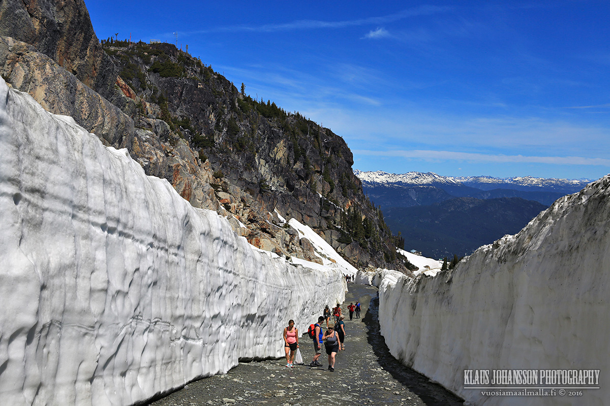
Finally on top!
Black Tusk in the background is a famous local landmark. This was an amazing place to enjoy the warm weather for a moment. Just be aware that it is really bright up there and sunglasses are a must!
I highly recommend checking out the giant snow walls if you are in Whistler around end of May and beginning of June when the ski season has just ended and the service road opens. It is worth it.
Even more spectacular snow walls can be found on Mount Baker, WA where they receive world record amounts of snow and the walls are 7 meters tall still in August. The only thing to take into account is that the road to the parking lot on top doesn't open before July due to so much snow. It's still a nice trip and doesn't require hiking like in Whistler.
Thanks guys. It was very interesting to see how deep the snow really is during winter. One reads about all these numbers like total snow fall in a season being 12 meters, but how does it really look like? For example, I skied down this run several times during the winter and had absolutely no idea that the snow below me would be so deep. You cannot really imagine how the landscape is when snow blankets everything, hence I found our trip very interesting and the photos came out nice.
@Calgarian: You should be in for a treat. Whistler has been putting lots of effort (and will continue to) to boost their summer offering and already now downhill biking is very big in there. I hope you have nice time!
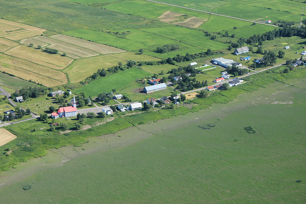
With some friends, we went to l'isle aux Grues, an island in the middle of the Saint Lawrence river, upstream of Québec, near Montmagny, for a Saint-Jean-Baptiste party. It was fantastic.
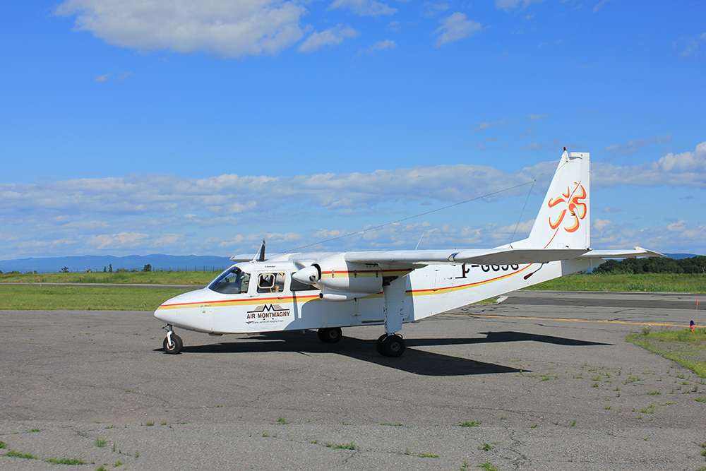
We had to take a ferry in Montmagny to get to the island. We then walked the whole day on the island. To get back, as there were not a lot of ferries, we took a plane.
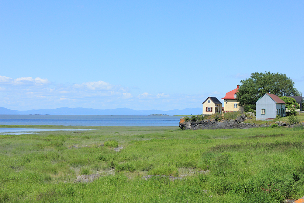
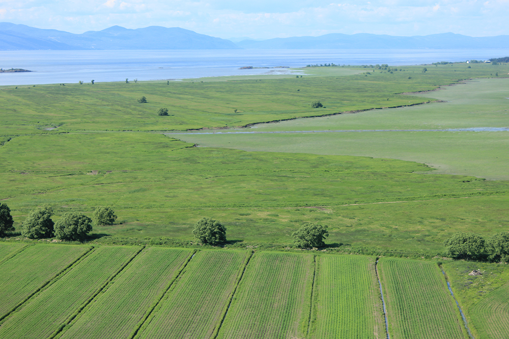
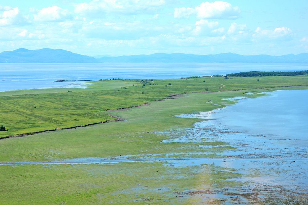
Wonderful landscapes for a walk. The blue mountains you see across the Saint Lawrence are located around Charlevoix, on the north shore.
Saint-Antoine-de-l'Isle-aux-Grues is the only village on the island. The municipality had a permanent population of 147 in 2015.
The plane we took to come back to Montmagny
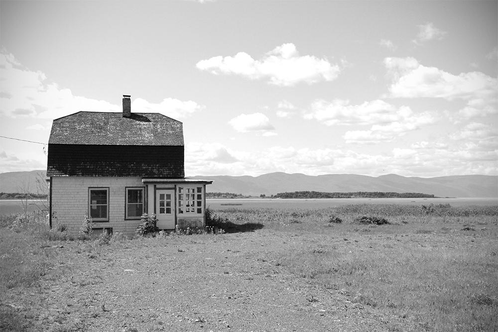
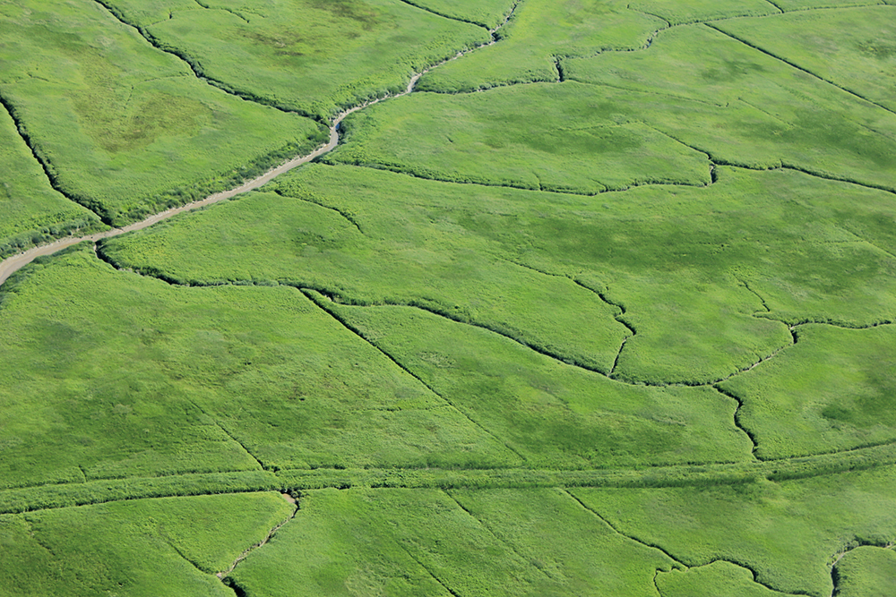
The island and the fields, at low tide. The tidelands are impressive. (les battures)
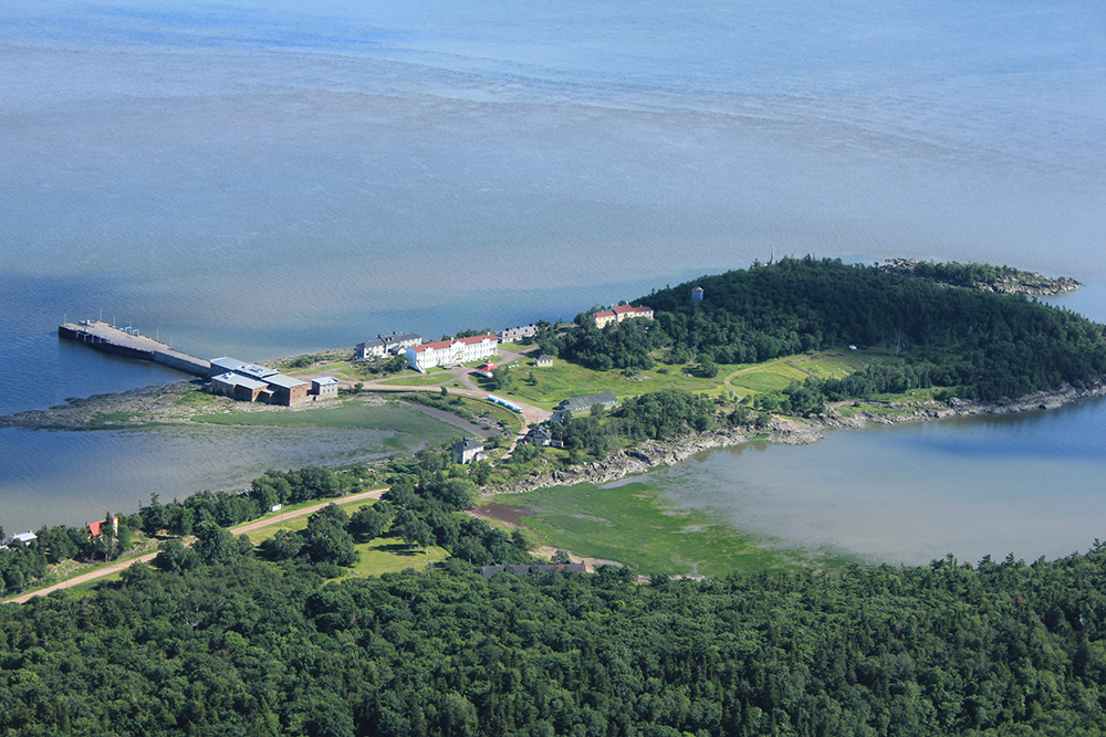
We flew over Grosse Île ("Big Island", if you translate). This place was the entrance door of the Irish immigrants in the 19th century. Text from Parks Canada :
«Located in the middle of the St. Lawrence River, Grosse Île was a quarantine station for the Port of Québec from 1832 to 1937. At the time, the island was the main point of entry for immigrants coming to Canada.
You will be touched by the story of Grosse Île, a witness to both human tragedy and exceptional dedication. Relive the troubling experience of immigrants who set sail in hopes of a better future, and of those who cared for them upon arrival.»
Gorgeous, Klazu and Lace. Especially love the marshy Quebec pics.
*****
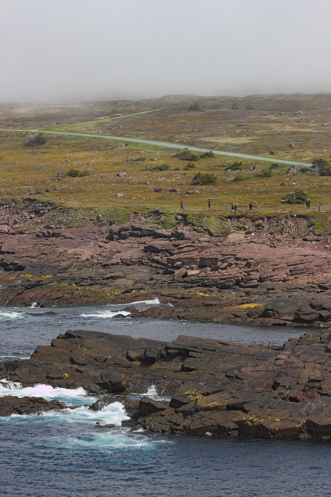
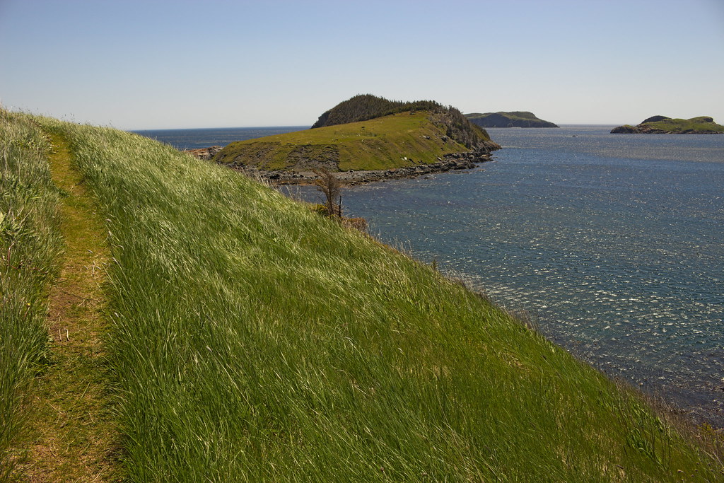
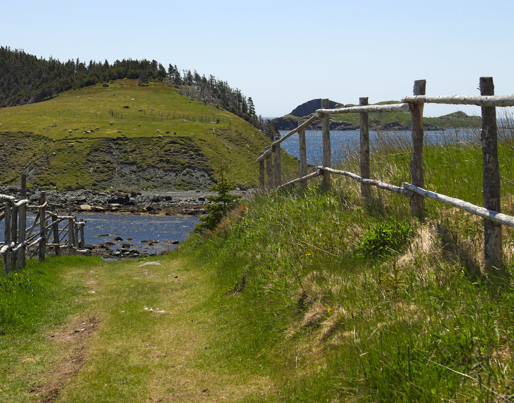
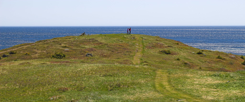
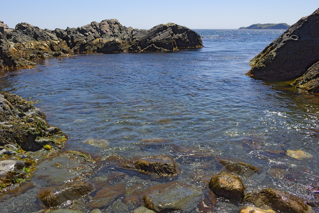
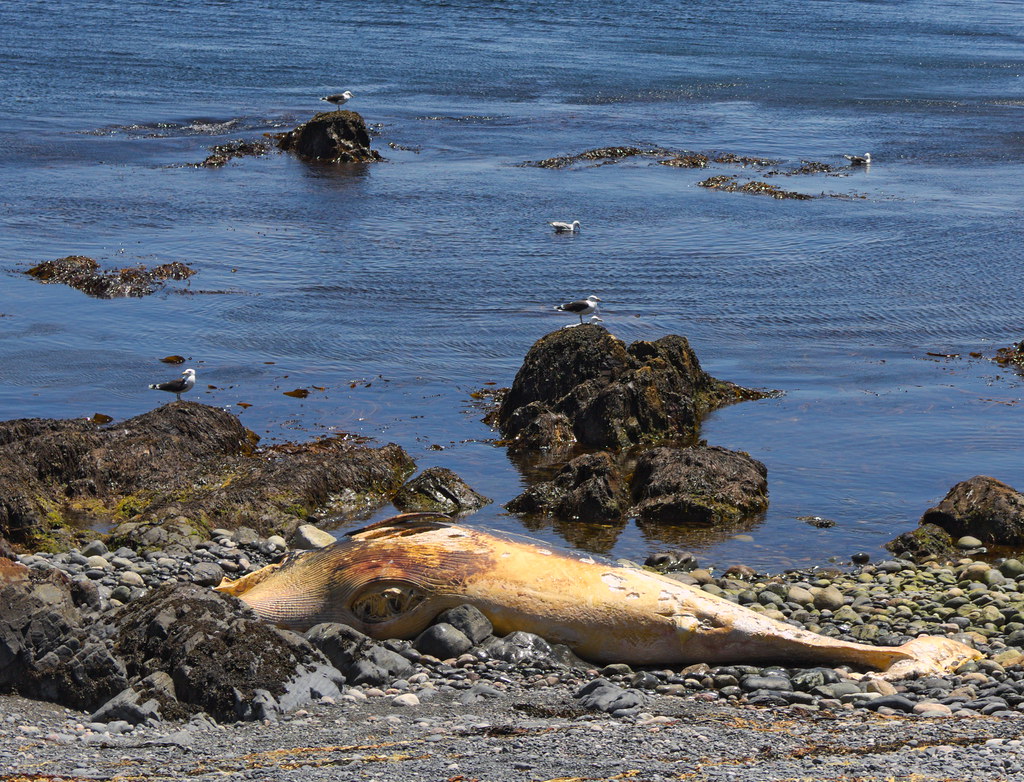
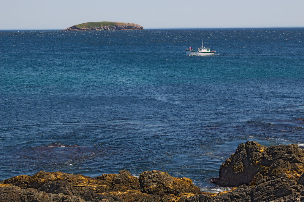
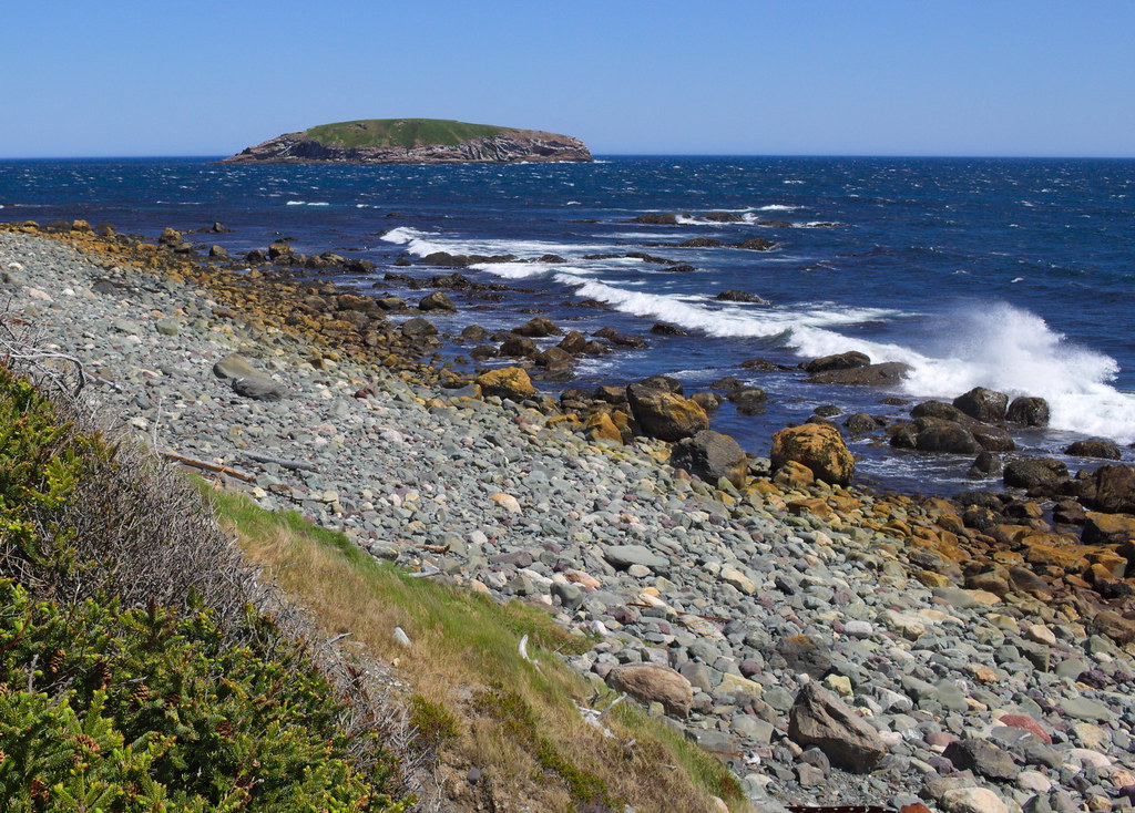
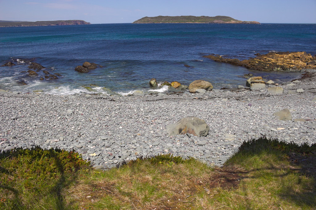
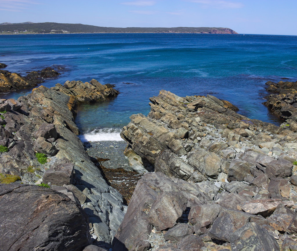
A few snaps from today's hike - Ferryland to Renews. The East Coast Trail is along the coast, not the highway, so it's MUCH longer... but here is the general route:
Nice day trip, SHH!
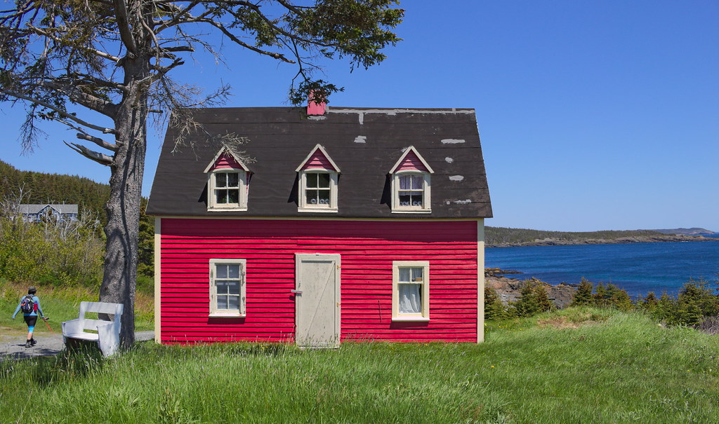
The 4th picture make me want to have a summer house on the coast of Newfoundland :-)
The landscapes remind me of Magdalen Islands (îles de la Madeleine).
----
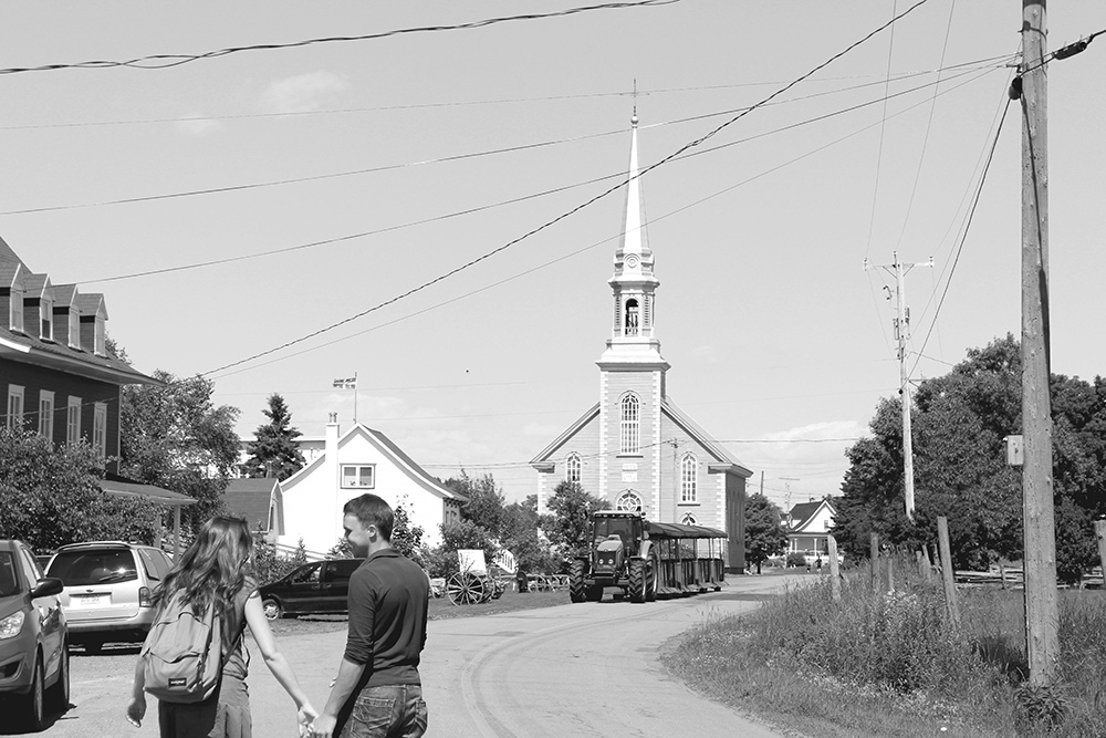
Little trip to see family in Saint-Jacques-de-Montcalm (region : Lanaudière).
Location: Calgary - our road planners are as bad as yours Edmonton
Posts: 5,047
Quote:
Originally Posted by SignalHillHiker
Tors Cove to Witless Bay today. It's on the Southern Shore, south of St. John's, the most densely Irish part of the island (excluding a few random towns elsewhere such as Tilting on Fogo Island).
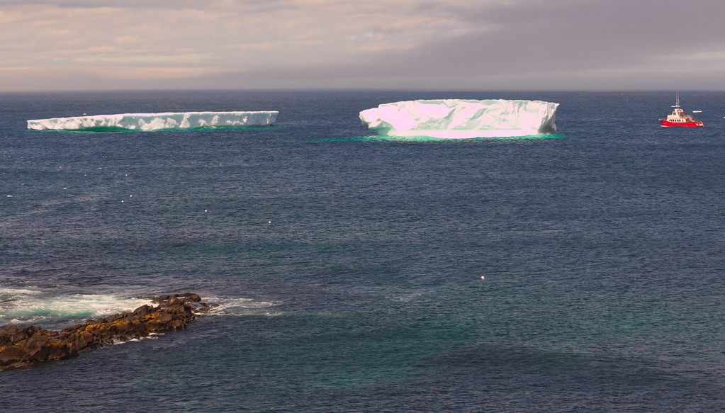
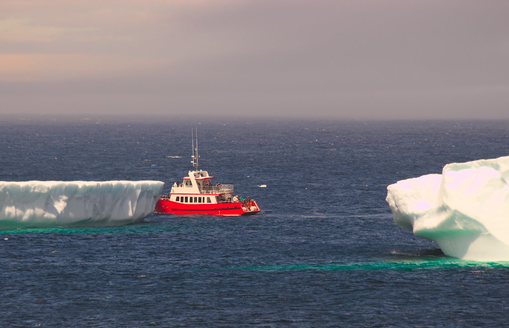
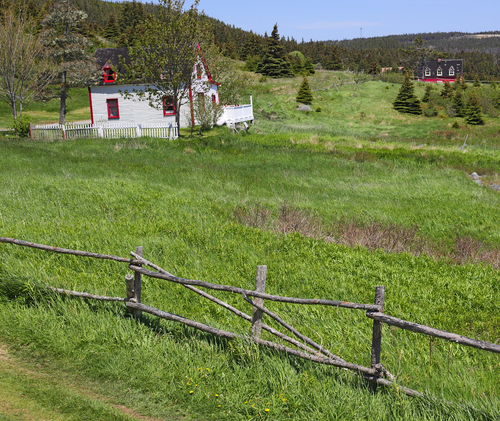
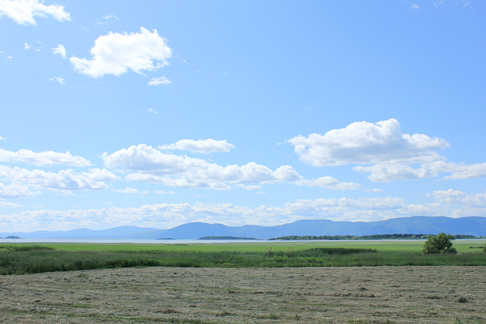
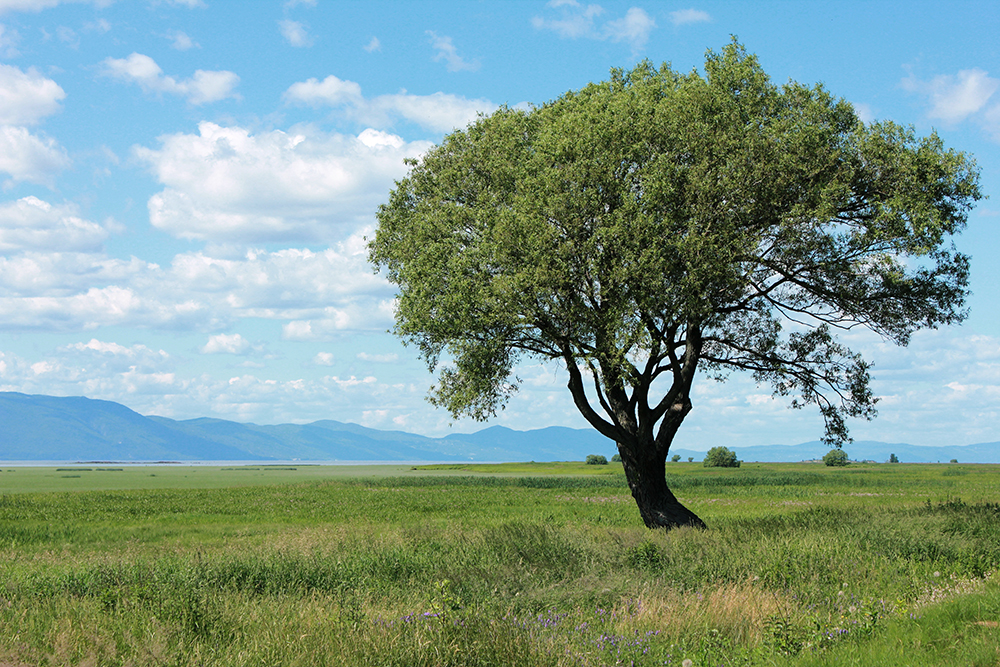
Took a little trip out to the Codroy Valley, Newfoundland yesterday. Mostly farming communities settled in the 1800s by Scottish and Irish families from the maritimes, including my own family. Probably my favourite place on the island.
Cape Anguille Lighthouse Inn: the old lighthouse keepers house is now an inn, museum and all that stuff. It's also the most westerly point on the island
DSC_0476edit


 Prev
Prev


 Especially love the marshy Quebec pics.


 Linear Mode
