Quote:
Originally Posted by MonkeyRonin

I mean, it doesn't take looking at streetview to know that this environment is going to suck just as much from ground level as does from the air:
Generally speaking, a good ground-level urban environment will also look better from above than a crappy one will (the reverse isn't necessarily true though). |
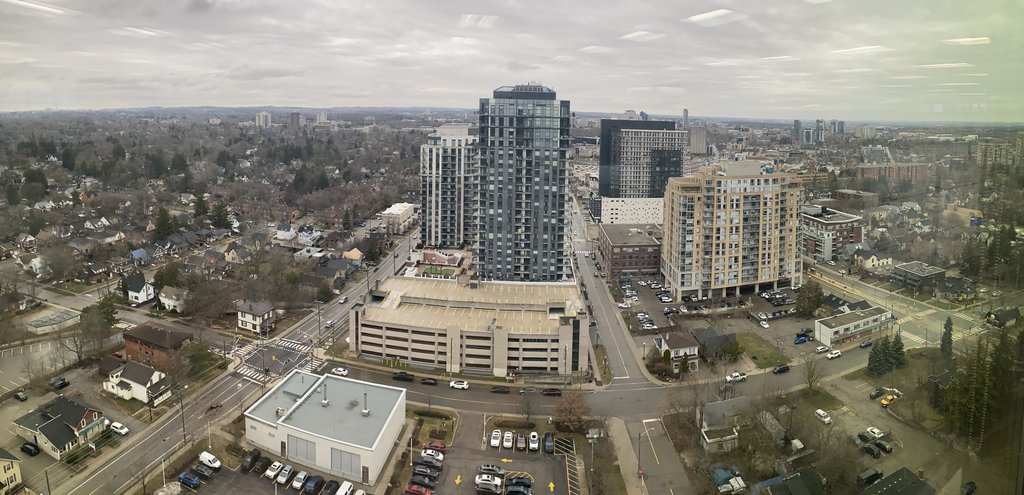
Honestly, I don't think that's true. Things like the quality of the sidewalks, the presence or lack of utility wires, the quality of street furnishing and signage, how inviting the buildings are at street level... you aren't really going to see those very well from above. And sure, you can tell in those images that there are surface parking lots that won't be attractive at street level, but on the ground some of them seem to be obscured by things like hedges, evergreens, buildings, etc. while from the air the full extent is visible. And even without the surface parking, aerial views would still have the same same drab colour tones because the view is dominated by leafless tree canopies, roofs, roads, and highrises where you can see the tower facades but not anything inviting around the entrances. That happens a lot in Halifax from my experience. Aerial views capture a lot of stuff that's mostly hidden from the street. Stuff like parking behind buildings where from the street level you mostly just see is the buildings lining the street. And especially in winter since the leaf canopies that normally obscure wide roads from above suddenly reveal all the pavement.
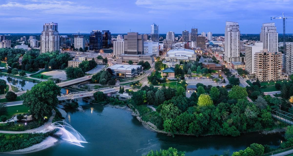
I've also seen urban environments that look great from the street level but look like concrete jungles from above, especially those dominated by midrise and highrise buildings that are tall enough to obscure most of the trees. All you see is roofs and various rooftop equipment. On the other hand, low density suburban areas don't look good from either perspective in the winter, but they can look great from above in summer with lots of lush greenery while on the ground... bland, and repetitive.


 Prev
Prev


 Linear Mode
