Two weeks ago I spent several days in DC. I previously lived there for 7 years, so I like to travel back at least once/year to see friends and wander around the city. While the monumental core near the National Mall is impressive, having lived there I know it’s the neighborhoods beyond the Mall that make the city a great place to live. I spent much of my time walking around the
L'Enfant part of the city, though I did visit Georgetown one morning and also ventured a little further north of Florida Ave NW one afternoon. Here’s a look at what I saw along the way.
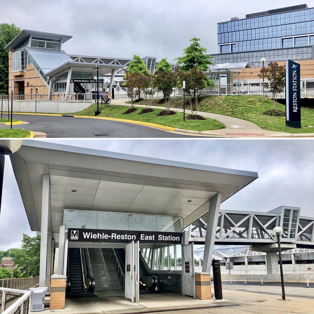
1. I flew in very late, arriving at Dulles after 1am. So I opted to stay at a hotel for one night near the Wiehle-Reston East station on the silver line, making it relatively easy to head into the city the next morning via Metro.
2. After dropping off my luggage at my hotel in Dupont Circle, I immediately headed up to my favorite coffee shop in DC, The Coffee Bar, in Shaw.

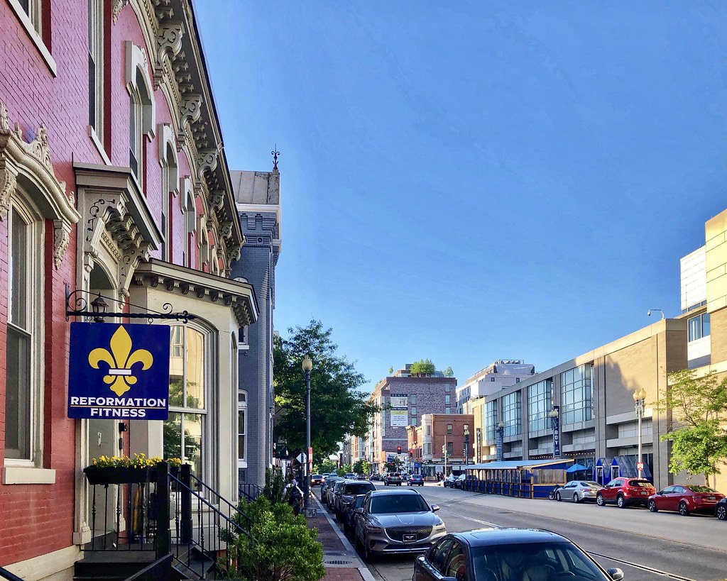
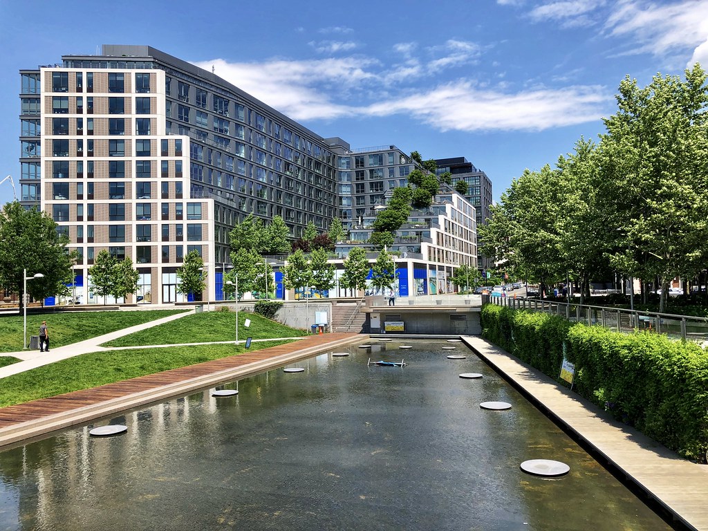
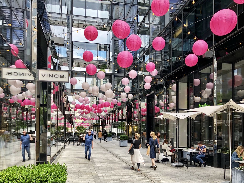
3. A short little walk around Shaw/Logan areas.

4.

5.

6.

7.

8.

9. Georgetown
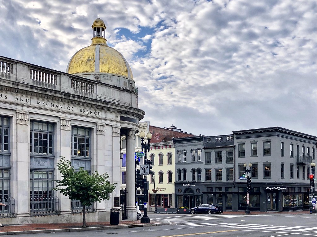
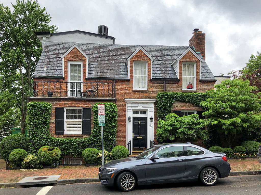
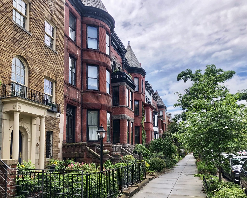
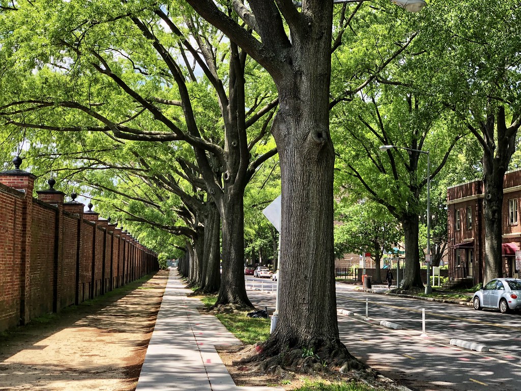
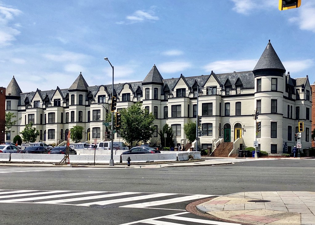
10. I arrived on Monday morning before 8 am so it wasn’t very busy yet.

11. Love walking around the residential area of Georgetown.

12.
13.

14.

15.

16.

17.

18.

19.

20.

21. Along the C&O Canal in Georgetown.

22.

23.

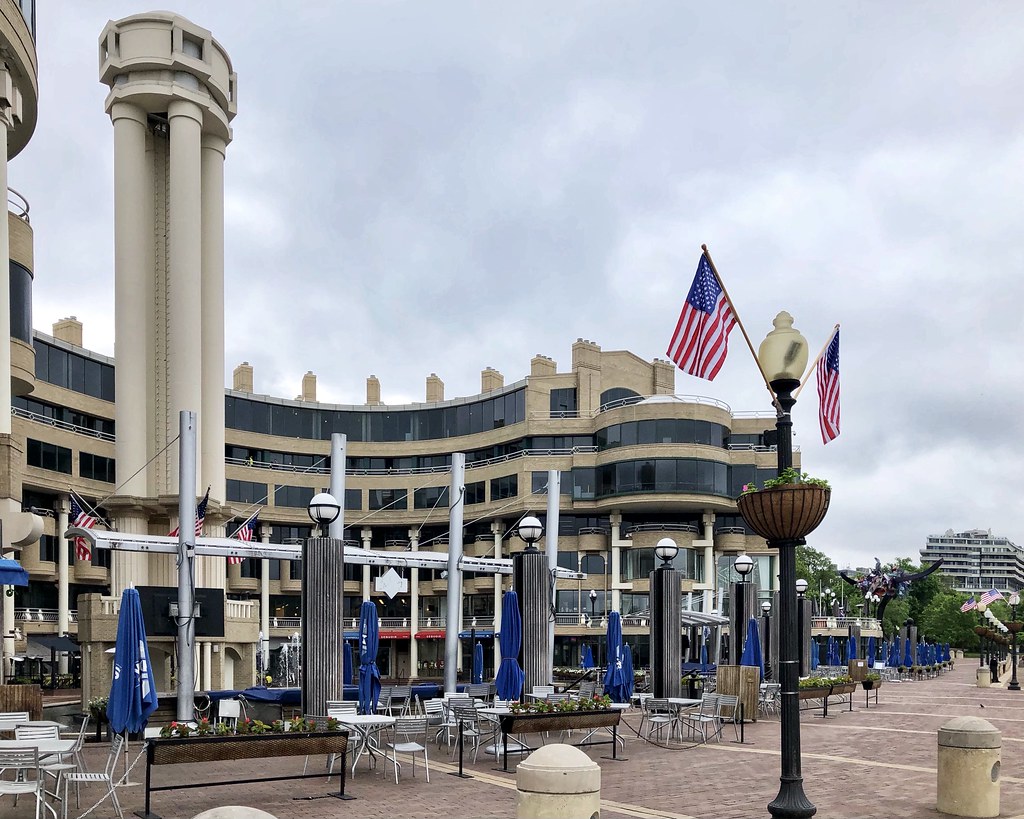
24.

25. And now down to the Potomac at the Georgetown Waterfront (with Rosslyn on the other side).

26. Watergate and The Kennedy Center can be seen in the distance.

27. Key Bridge connects Georgetown and Rosslyn (Arlington) across the Potomac.

28. A closer view of Watergate and The Kennedy Center from Washington Harbor at the eastern end of Georgetown’s waterfront.

29. Washington Harbor
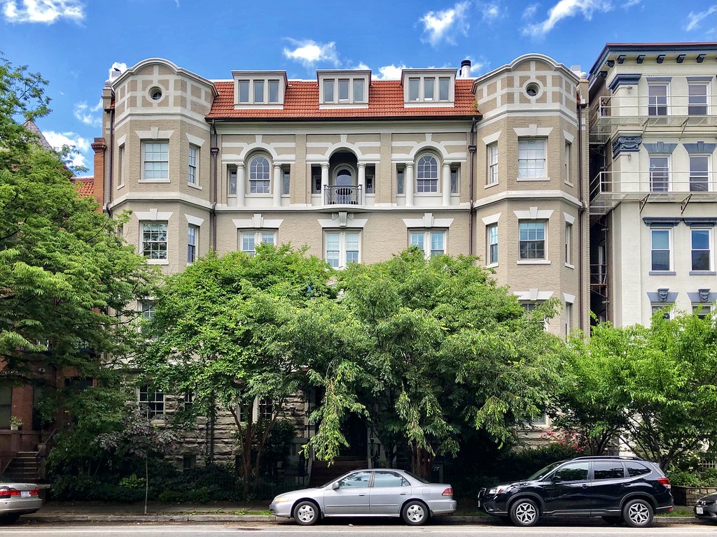
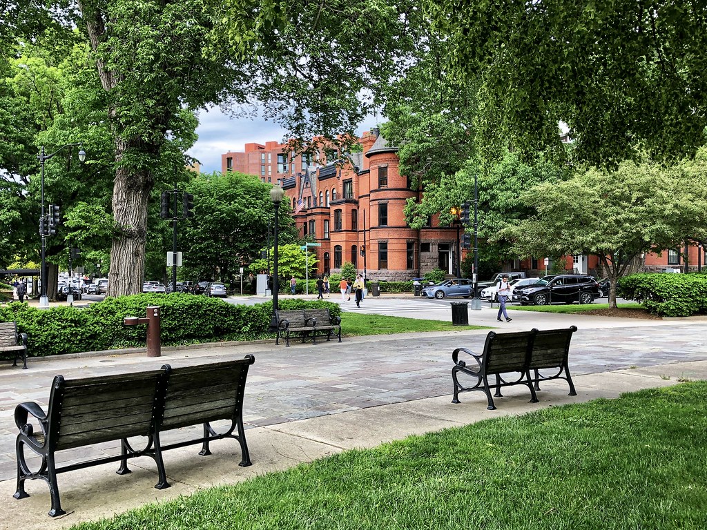
30. Now passing through Rose Park in Georgetown overlooking Rock Creek Park/Parkway.

31. Dupont Circle – where I lived for the majority of my time in DC. Much of the activity in the city has shifted further east with time but this is still my favorite neighborhood.

32.

33.

34.

35.

36.

37.

38.

39.
40.

41. It’s not quite lunch time yet, but this area will pick up soon with diners.

42.

43.

44.

45.

46.

47. Heading up the hill (beyond the L’Enfant city) into Adams Morgan.

48.

49.

50.

51.

52.

53.

54. On the Adams Morgan/Kalorama border.

55.

56. Heading into Kalorama.

57.

58.

59.

60.

61.

62.

63.

64.

65. Crossing the Taft Bridge (Connecticut Ave NW) from Kalorama into Woodley Park.

66. Rock Creek Park down below the bridge and the Duke Ellington Bridge in the distance.

67. Just a brief glimpse of Woodley Park as I passed by.

68. Crossing the Duke Ellington Bridge (Calvert Street NW) from Woodley Park back into Adams Morgan.

69.

70.
71.

72.

73.

74.
75.

76.

77. Heading down Connecticut Ave NW from Adams Morgan/Kalorama back to Dupont Circle. This is the “Hinckley Hilton” where Reagan was shot.

78.

79.

80.

81. There are
plans to cap this section of Connecticut Ave NW on the north side of Dupont Circle, creating a pedestrian plaza. I think it was first announced back in 2014 and it’s still not under construction. Back in 2020 it was projected to begin construction in 2022, but I haven’t seen any recent news on its status.

82.

83.

84.

85.

86.

87.

88.

89.

90.

91. The infamous Cairo building, instigator for DC’s height restriction.

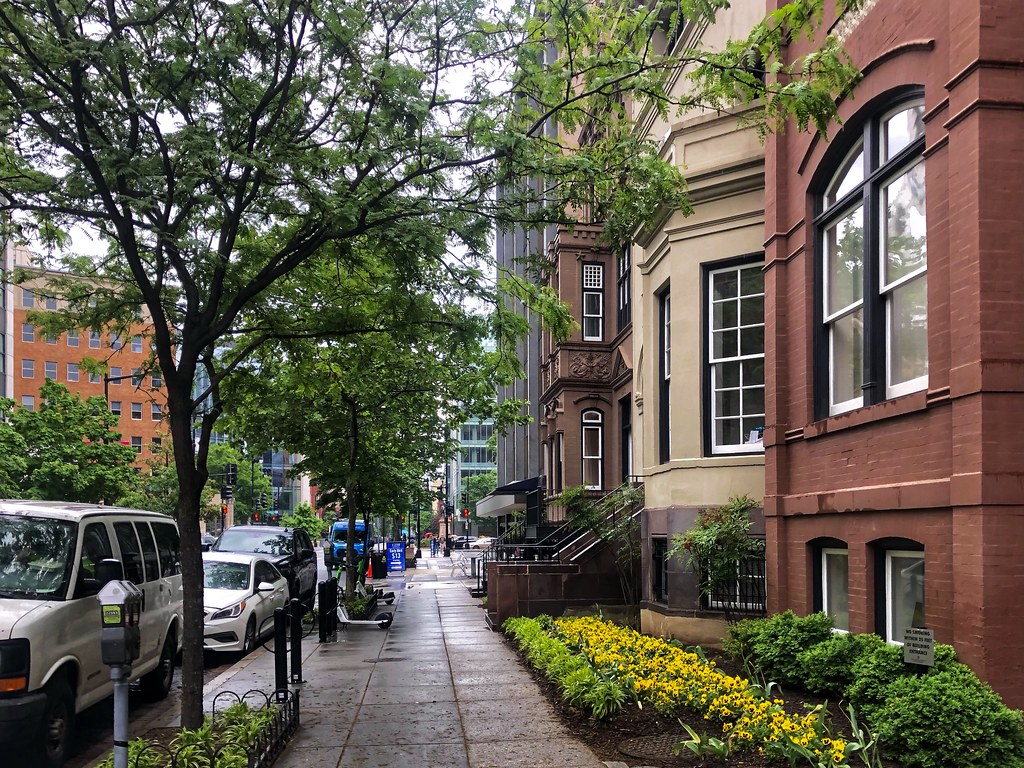
92.

93.

94. Golden Triangle/South Dupont

95.
96. 15th Street NW protected bikeway.

97. Logan/Shaw

98.

99.

100.

101.

102.

103.

104.

105.

106.
107.

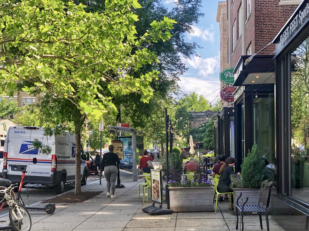
108.
109.

110. 14th Street Corridor – perhaps the most happening area of the city. It has transformed immensely from when I first relocated to DC.

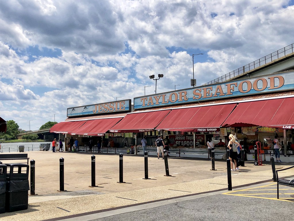
111.

112. In addition to The Coffee Bar (TCB), I’m also a big fan of Filter Coffee. They started off in Dupont Circle but unfortunately that location closed a couple years ago. However, they still have a location in Foggy Bottom.

113. Eastern Market Metro station

114. Eastern Market

115.

116.

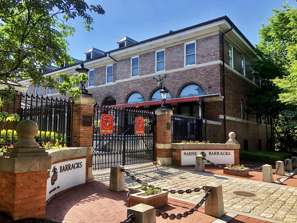
117.

118.

119. Barracks Row and nearby residential.

120.

121.

122.

123.
124.

125.

126.

127.

128.

129. Heading south from Eastern Market/Barracks Row into the Navy Yard/Capitol Riverfront areas.

130.

131.

132. Big time growth in this area over the last 10-15 years.

133.

134.

135.

136. The view along South Capitol looking north.

137. Canal Park

138.
139. Looking south down Half Street SE from the western end of the Navy Yard/Ballpark Metro station towards Nationals Park. This view has changed massively since my time in DC when much of it was empty lots!

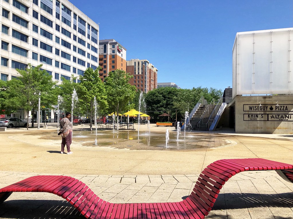
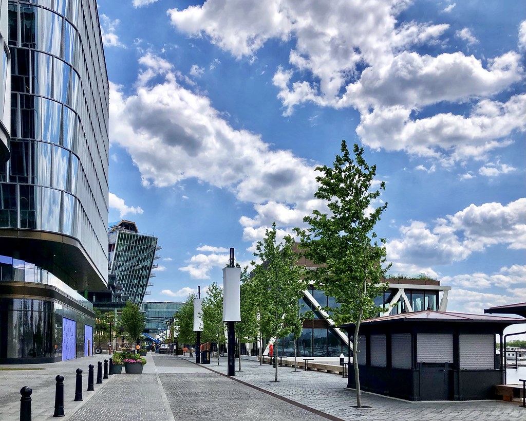
140. The view looking north up Half Street SE from the ballpark.

141.

142. Anacostia Riverwalk & Yards Park

143.
144.

145.

146.

147.

148.

149.

150.

151.

152.

153. The new Frederick Douglass Memorial Bridge across the Anacostia River looks great! A little further up the river there are
plans to begin constructing very soon a new “bridge park” across the Anacostia.

154. The still under-construction new traffic oval along South Capitol Street, just northwest of the new Frederick Douglass Memorial Bridge. A second oval is also being constructed at the southeast end of the bridge in Anacostia.

155. Audi Field, home of DC United (MLS). There is some newer construction nearby but plenty more is planned here in Buzzard Point in the years ahead (such as
this, which apparently just broke ground this month after securing initial financing last month).

156.

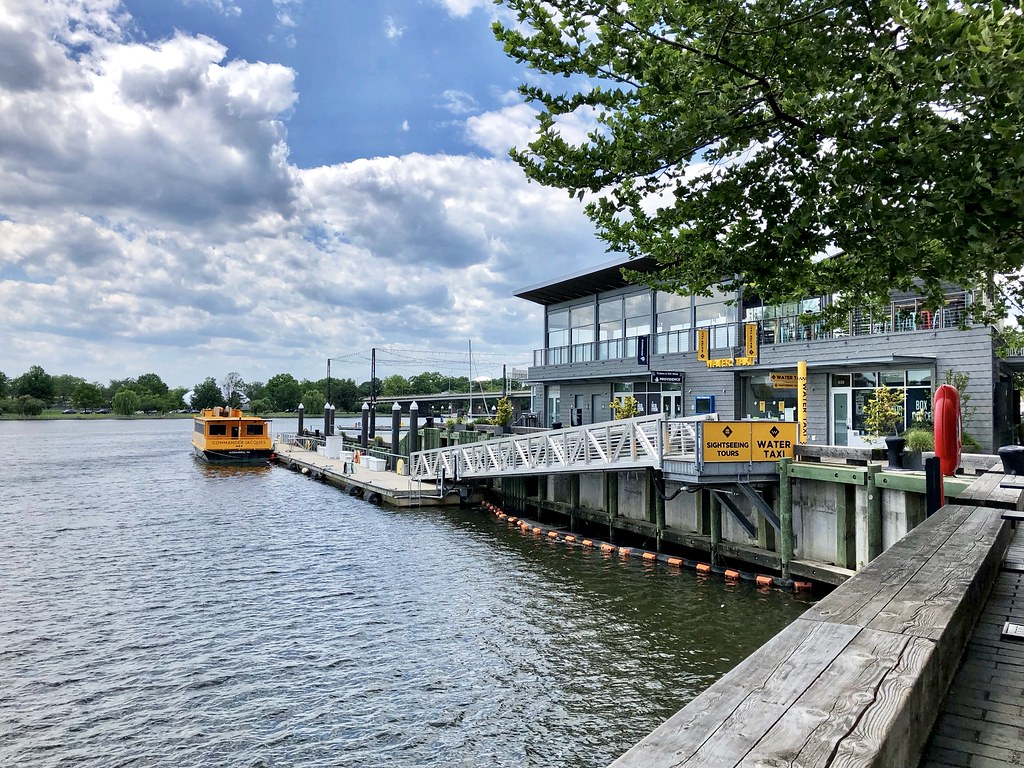
157.

158. Heading towards the Southwest Waterfront.
159. Southwest Waterfront Park – a plane can be seen taking off from DCA in the distance and those cranes below it are constructing Amazon’s new HQ2 in Arlington.

160.

161. Looking north towards The Wharf. The southern section is “phase 2” and is scheduled for completion later this year. The northern section, i.e. phase 1, opened in 2017, when I was still living in DC. It’s an impressive transformation from what seemed like a rather desolate/underutilized area when I explored the waterfront during my first year or two in DC.

162.

163.

164. This is Wharf phase 2 nearing completion.

165.
166.

167.

168.

169. Moving north into Wharf phase 1, which has been open for about 4.5 years.

170.

171.

172.

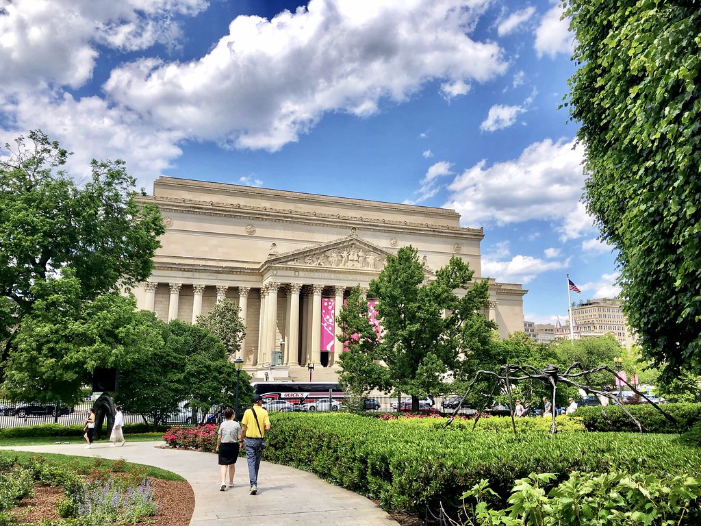
173.
174. The dome of the Jefferson Memorial can be seen in the distance and the “high-rises” in Rosslyn further in the distance.

175.

176.
177. Heading north through the Federal Center SW area towards the Mall. I mostly stayed away from the prime tourist zones but did briefly pass through on my way towards downtown. The VRE train is stopped at the L’Enfant station.

178.

179.

180.

181.

182.
183. So great to see a certain name removed from this magnificent building… if only Chicago could be so lucky!

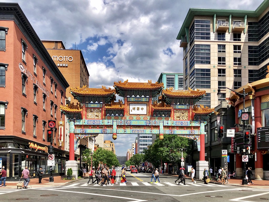
184.

185.

186.

187. Navy Memorial

188. Heading into downtown DC, including the Gallery Place/Chinatown area.

189.

190.
191.

192.

193.

194.
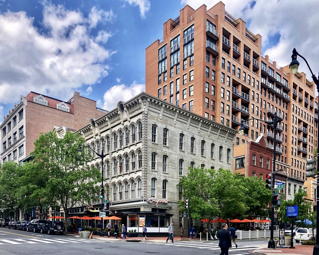
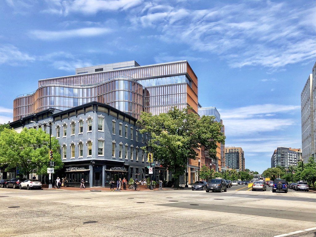
195. Mt. Vernon Square/Carnegie Library (also an Apple Store)

196. City Center DC – this is very high end redevelopment where the old convention center once stood.
197.

198.

199. Elsewhere downtown.
200.

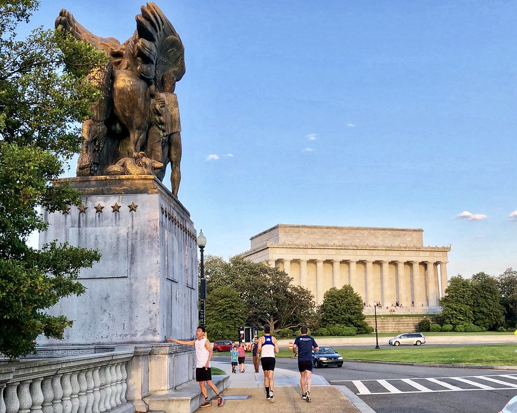
201. The recently completed redesign of Franklin Park. This park used to have lots of mature trees providing great shade during DC’s awful summer heat & humidity, which is probably why it also became a magnet for the homeless which in turn kept many others away from enjoying the park. The homeless are now gone and the new landscape design looks nice, though sadly it will take many years for the mature tree canopy to return and provide optimal shade during the summer (though there are some spots that still have decent shade).

202.

203. This redevelopment is on the same site as the former Washington Post headquarters.

204. Farragut Square

205. I went out for a run along the Potomac one evening and took a couple pictures along the way, including here at the Lincoln Memorial.
206. And the sunset with the Georgetown Waterfront in the distance.

207. Golden Triangle/South Dupont

208.

209.

210. Golden Triangle & Dupont Circle Metro station

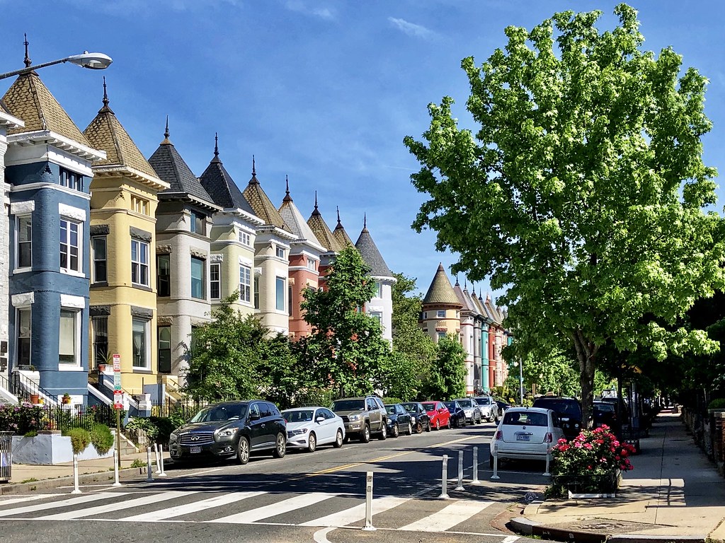
211. NoMa Metro station

212. Crossing above North Capitol looking south.

213. Truxton Circle – this is the Chapman stables, converted to residential and some commercial. I have a friend who bought into this redevelopment years ago when it was under construction. Nice place.

214.

215. Bloomingdale – home to some of the best rows in the city IMHO!
216.

217.

218.

219.

220.

221. Heading east into Eckington.

222.

223. Alethia Tanner Park – a nice new park on what used to be vacant land adjacent to the rail tracks in Eckington.

224.

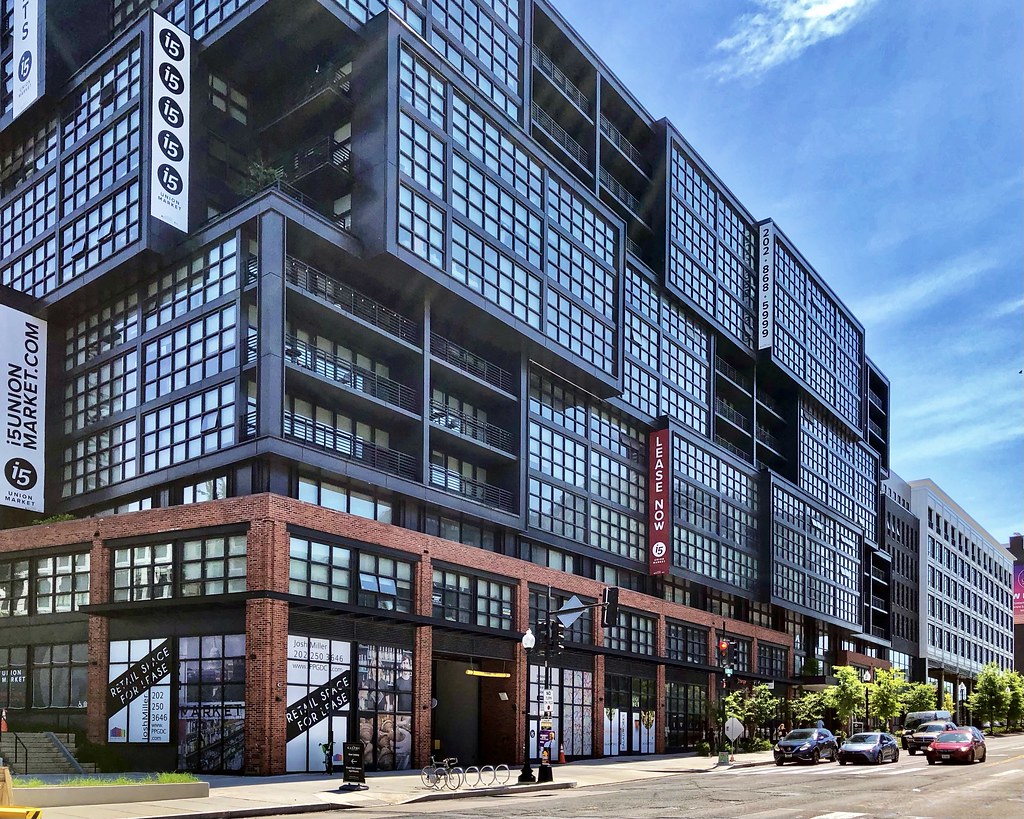
225. The Metropolitan Branch Trail, which runs along the eastern edge of Eckington adjacent to the rail tracks.

226.

227.

228. Along the Eckington/NoMa border (i.e. Dave Thomas “Circle” area), looking southeast down Florida Ave in the direction of Union Market.

229. Union Market area – of all the locations in DC that have seen development, this is the area that seems to be the biggest transformation to me. There used to be a drive through Burger King here and some old mostly dilapidated structures and/or under-utilized lots. Now there’s dense development occurring every direction you look.
230.

231.

232.

233.

234.

235.

236.

237.

238.

239. Kind of funny the tiny green-roofed structure was preserved when this development went up.

240.

241.

242. Near Northeast/Northern H Street corridor (this is northern Capitol Hill).

243.

244.

245.

246. H Street Corridor

247.

248.

249.

250.

251.

252.

253. NoMa

254.

255. I’ve always loved the old art deco building on the left.

256.

257.

258. Now into Union Station.

259.

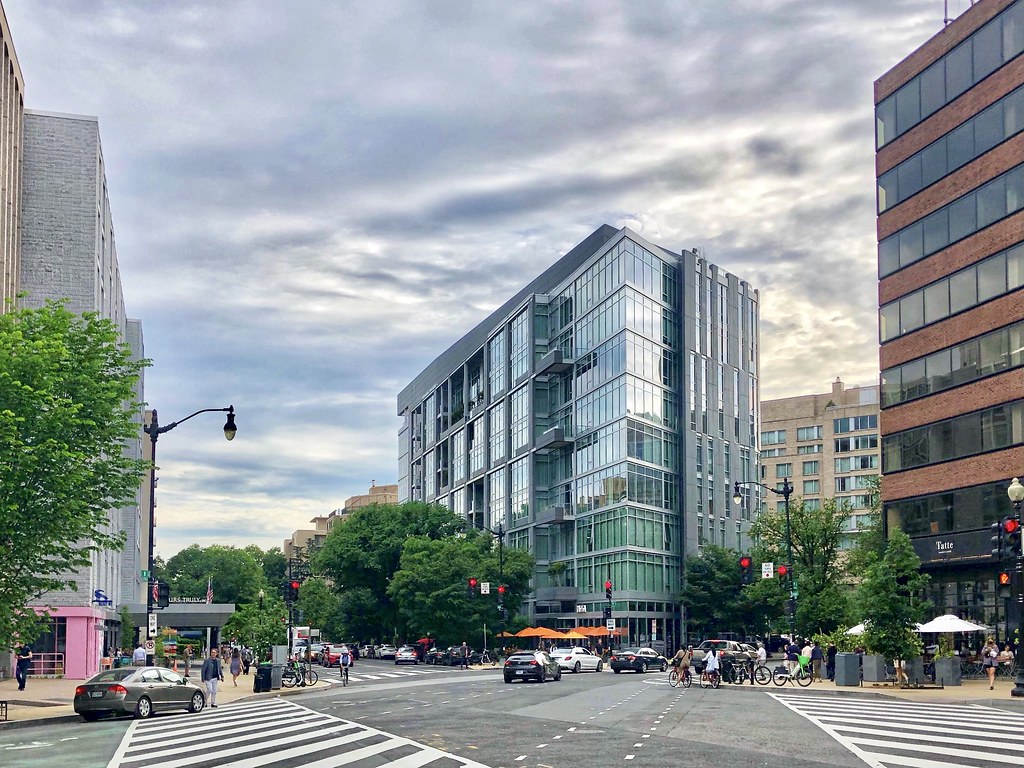
260. The view when exiting Union Station.

261.

262. Making my way from Union Station up Massachusetts Ave NW towards Mt Vernon Triangle.

263. I feel like this stretch of Mass Ave was under construction (the roadway & streetscape) for the entire 7 years I lived in DC but it’s finally finished. The middle where the cars are descending is an entry to a submerged freeway. Above the freeway to the left is a development that capped the submerged freeway with office buildings and a plaza (though I didn’t take any good photos of it).

264. Mt Vernon Triangle

265.

266.

267.

268.
269.

270. I’m a fan of this development, which incorporated the old brick structures into it. This area was not inviting back when I first moved to DC. I stopped by an old gay bar with a friend late one night in one of these brick buildings and it felt very sketchy after dark. I would not have felt comfortable walking by myself. Now it’s a gleaming redevelopment and a generally safe area.

271.

272.
273.

274. Thomas Circle, which is basically the southern boundary of the hip 14th Street corridor.

275. Continuing past Thomas Circle through the Golden Triangle to the West End area.

276. The domed structure just down the street is St. Matthews, which is the church where you may have seen video of little JFK Jr. saluting his father’s casket from the front steps back in 1963.

277.

278.
279.

280.

281.

282. Washington Circle

283.
284. Briefly into Foggy Bottom.

285.

286. Now back into the West End.

287. New Hampshire Ave is rather pleasant.

288. Continuing up New Hampshire Ave into Dupont.

289.

290.

291.

292.

293.

294. Making my way from Dupont towards the 14th Street Corridor for dinner with friends.

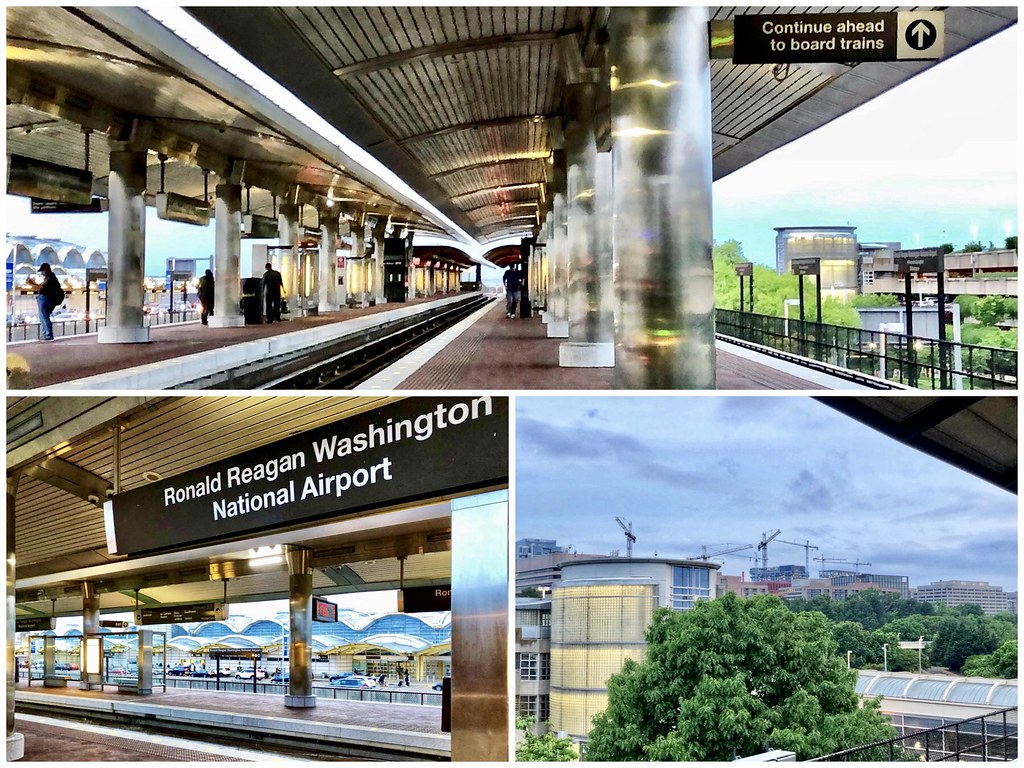
295.

296.

297.

298.

299. Time to leave. Here’s National Airport Metro station, where you can see from the platform several cranes in the near distance constructing Amazon’s HQ2 in the Pentagon City/Crystal City area, i.e. “National Landing.”
300.

And that’s all from DC. I took over 700 photos and shrunk it down by over 50% but it’s still a lot! Hopefully you enjoyed a glimpse of DC beyond the monuments. There are plenty of great areas I didn’t make it to on this trip, but I’m glad the weather mostly cooperated so that I was able to cover a lot of ground. Given my work, I wouldn’t be surprised if at some point in the future I end up relocating back to DC. In the meantime, I’ll look forward to future visits to see friends and check out all of the redevelopment that continues to change this unique city.


 Prev
Prev


 Linear Mode
