Quote:
Originally Posted by Jonboy1983

I remember when they ruined that bridge by erecting those monstrosities when they redid PA 65 as a highway. Some years back I used Sketch-up to come up with a reconfiguring of what whole area to make it more pedestrian/transit friendly and more marketable to redevelopment. My re-thinking involved eliminating the highway and incorporating it into a modified Chateau St./Beaver Avenue, replacing the existing elevated highway portion into a 100-foot wide green space with a light rail extension going right down the middle of it. I'm not sure if Milcraft's idea for Beaver Ave is similar to mine or not, but I'm curious to see what their idea looks like.
|
Ideas were floating for awhile to perhaps turn 65 back into a surface boulevard, but unfortunately since it's owned by the state they had their own ideas and appropriated money for reconstruction as is. Due to the sunk cost fallacy it's probably stuck in current conditions for another 10-20 years.
Quote:
Originally Posted by East Edge
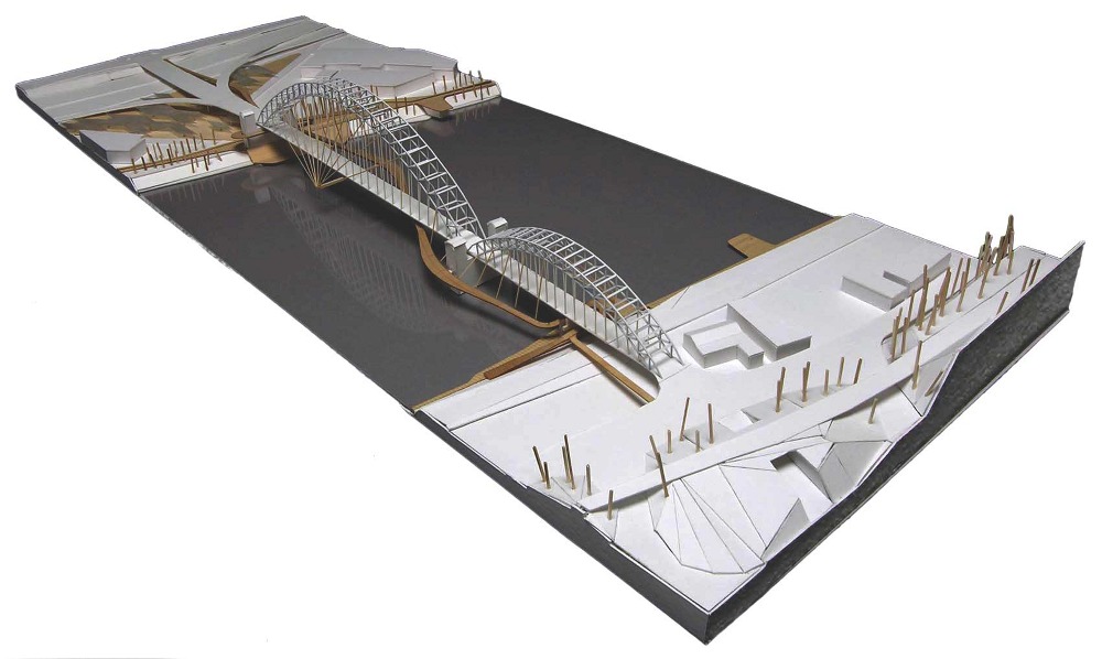
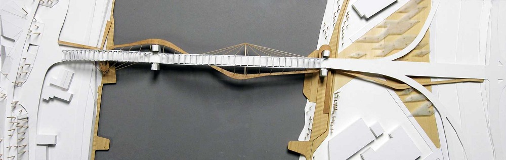
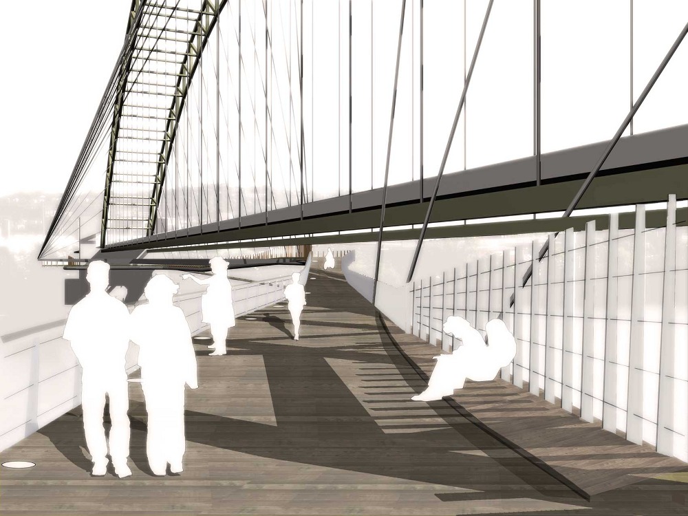
This all stemmed from the thread that the Esplanade development adjacent to the West End Bridge could potentially be complete in the next 5 years. There is a lot of momentum happening at Station Square which is just down from the West End Bridge and the GAP trail essentially ends that the lower parking lot for the Duquesne Incline. The idea of connecting the North shore directly with the South Shore allows, pedestrians, bikers, runners, etc with a loop or a circuit connecting the trails from the South Side Works to the West End Bridge across the river to Esplanade all the way up the Allegheny to connect to LVille back towards town through the strip to the Point then down the Mon down the Jail trail to the Hot Metal Bridge back to SS Works. It would be intense and we could have HUGE bragging rights about a complete network or riverfront trails, hopefully lined with meaningful development, residences, landmark communities and more...and WHAT A VIEW from a sick ass pedestrian crossing at the West End!! Could really put us on the map a destination city IMHO.
|
If you're talking about extreme long term, this makes sense, since it would link together developable riverfront neighborhood (South Shore, West End Village, and even Esplen - always seems like Esplanade should be there instead).
That said, there are a lot of potential issues here. First, Station Square isn't really that close to the West End Bridge. We're talking about a 1.3 mile stretch, which still has a big industrial property which is blocking trail expansion. The West End itself now has a horrible "entrance" from a pedestrian perspective. Then past the West End Bridge the shoreline gets even narrower, with barely enough room for West Carson and two railway tracks. Quite honestly this area needs more road infrastructure, not less, because the West Busway kinda peters out here onto West Carson, which makes it not correctly function as a BRT line.
Quote:
Originally Posted by BrianTH
A new office building Downtown? Very interesting.
|
Let's see. It's almost certainly not the Burns-Scalo plot, because they would be developing it themselves. That realistically leaves the lot across from the City-County Building, the Post Gazette site, and maybe one of the vacant lots in the area down by Ross Street/Fourth Avenue.
Also glad to hear Portal Place isn't totally dead. Were there ever any site plans for it? It's a very weird development site in terms of both layout and topography. I wondered how they planned to pull it off. An extension of Robinson down to Forbes seems like a no brainer to help break up the superblock.


 Prev
Prev


 Linear Mode
