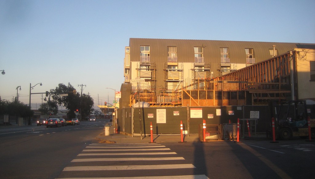
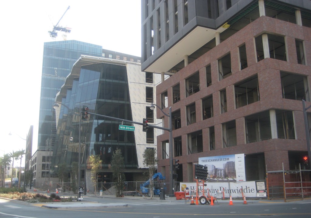
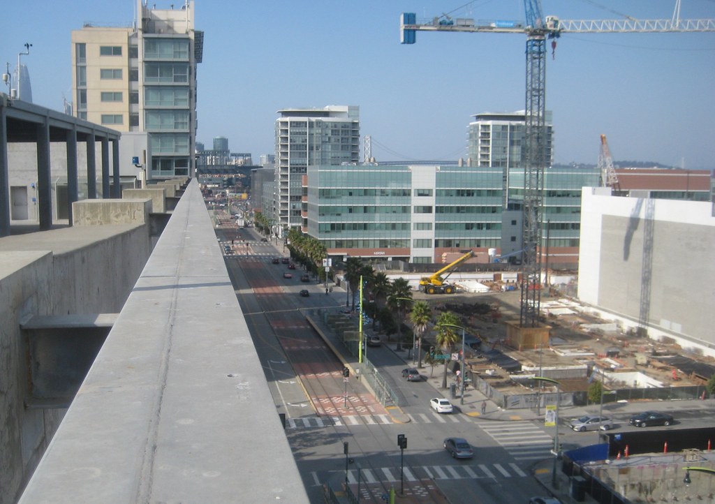
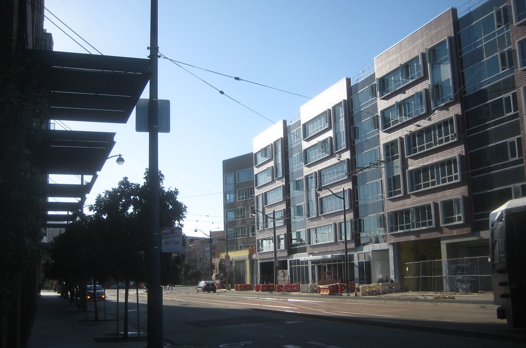
the Exchange from the 'back' (west), looking along 16th
Rutter views
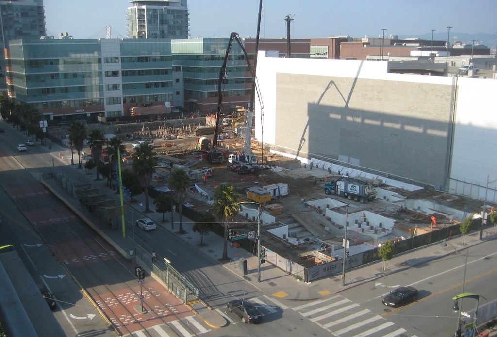
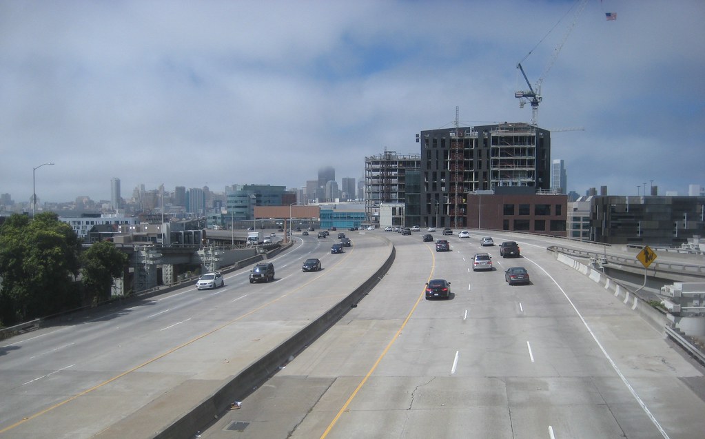
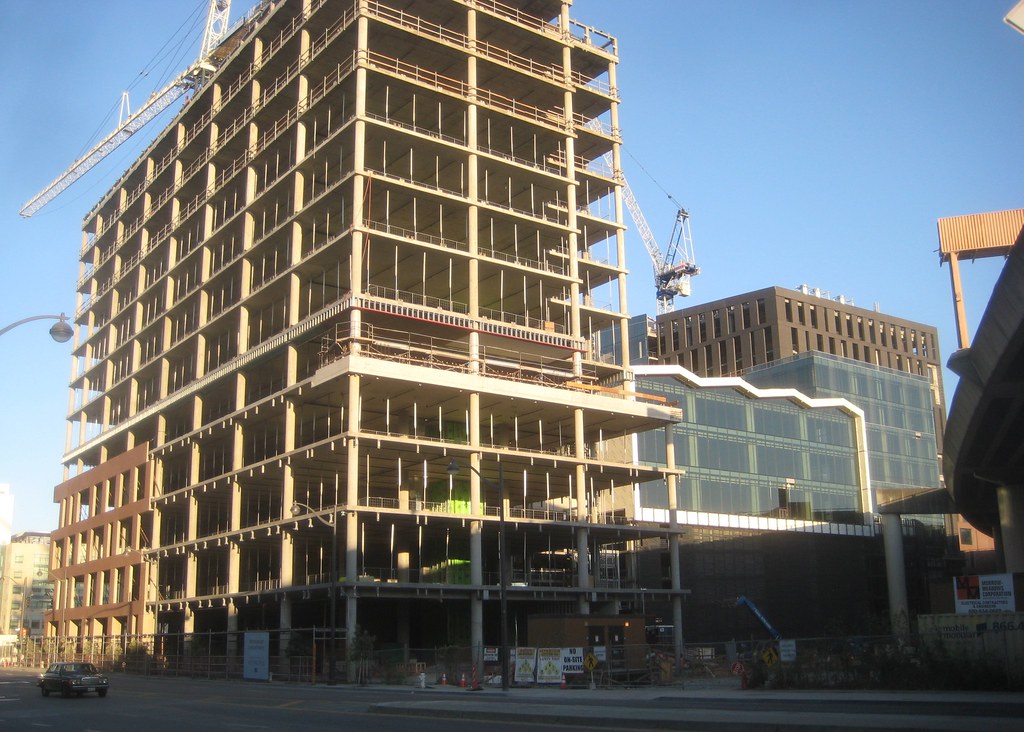
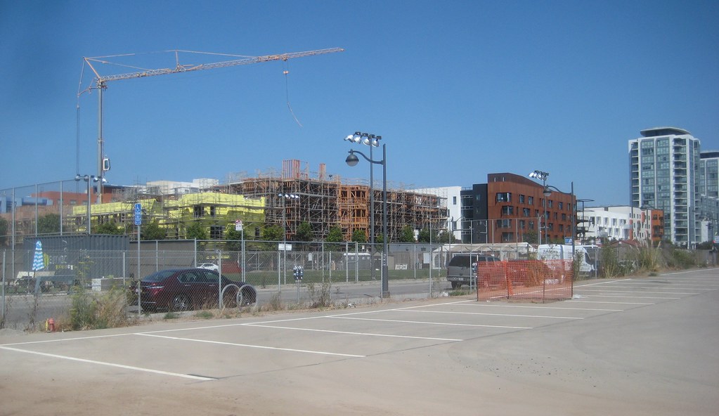
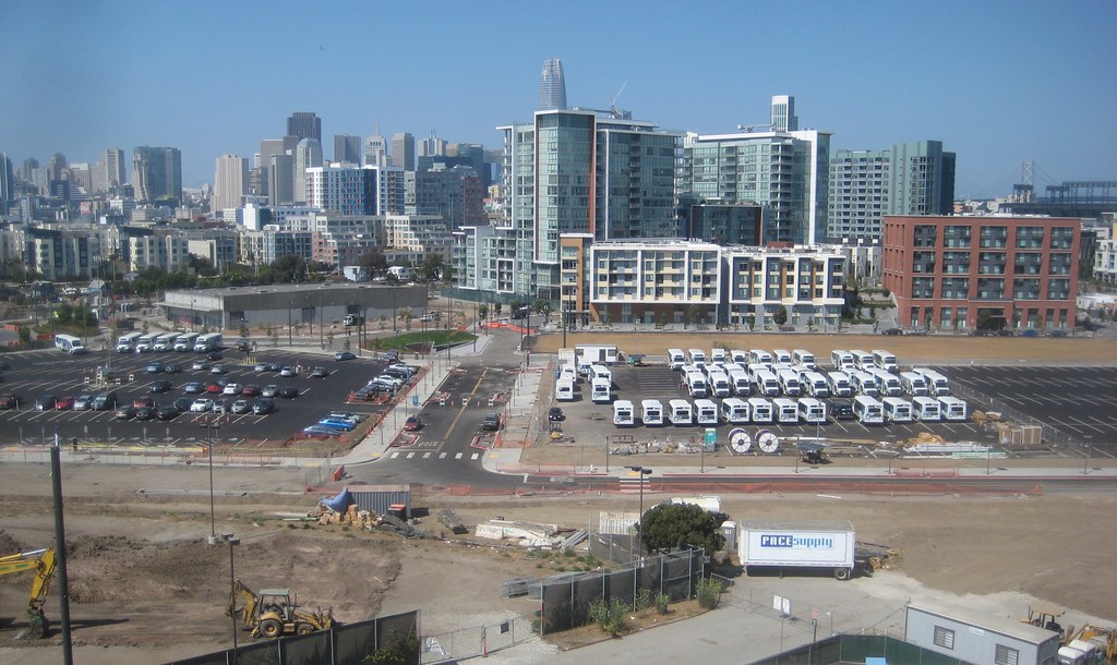
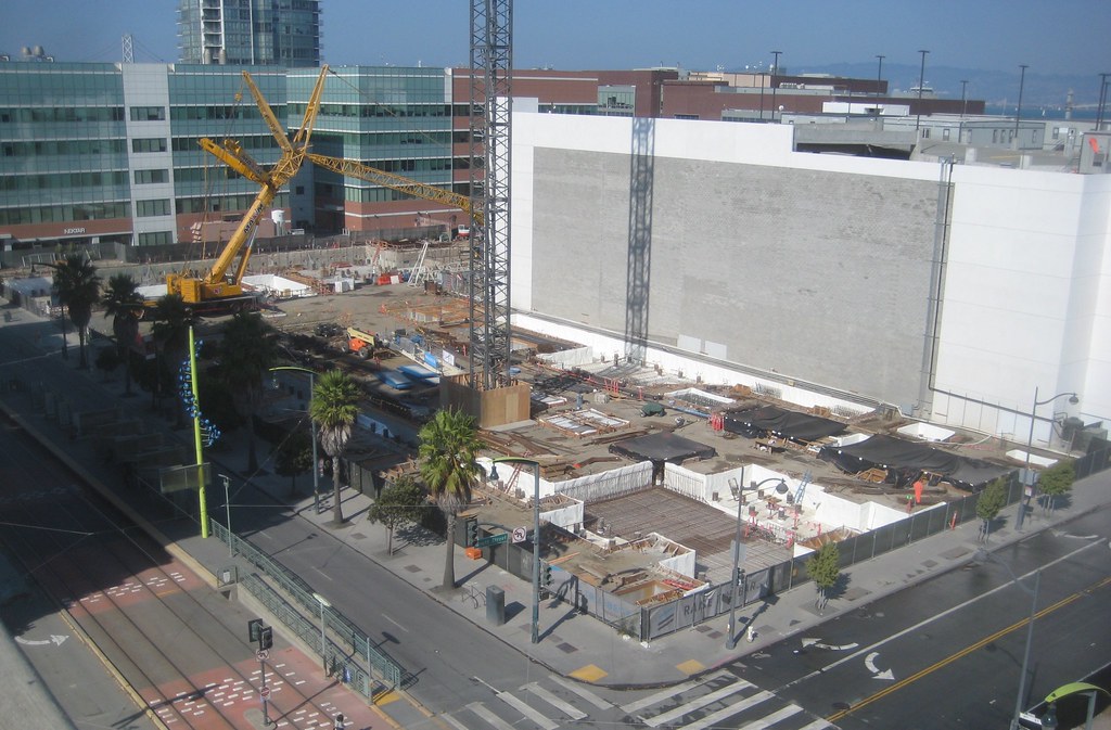
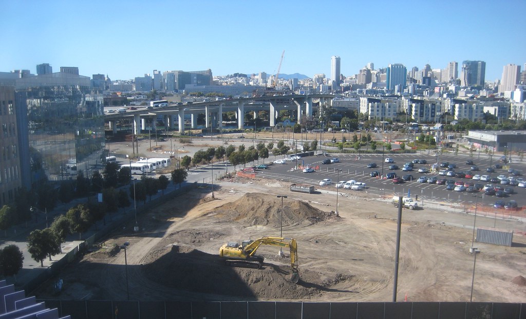
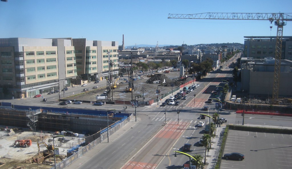
Uber (was reading they cancelled their Oakland expansion altogether; hope that doesn't augur anything for this site)
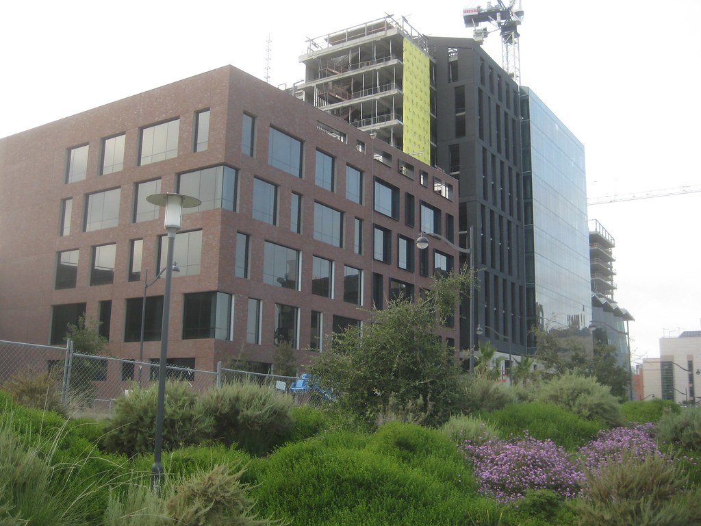
three corners
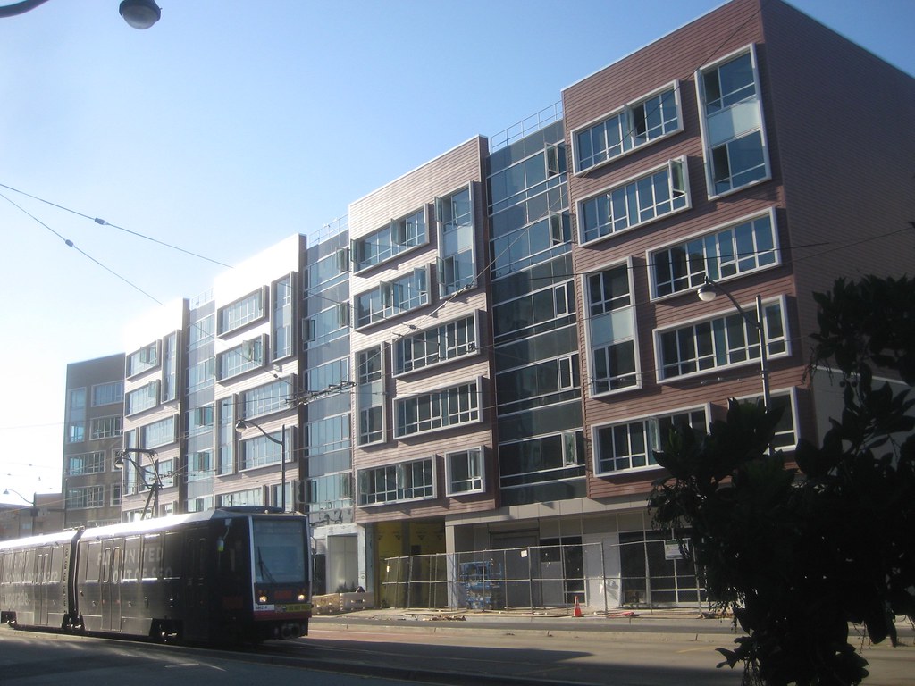
the little one across Mariposa from UCSF hospital
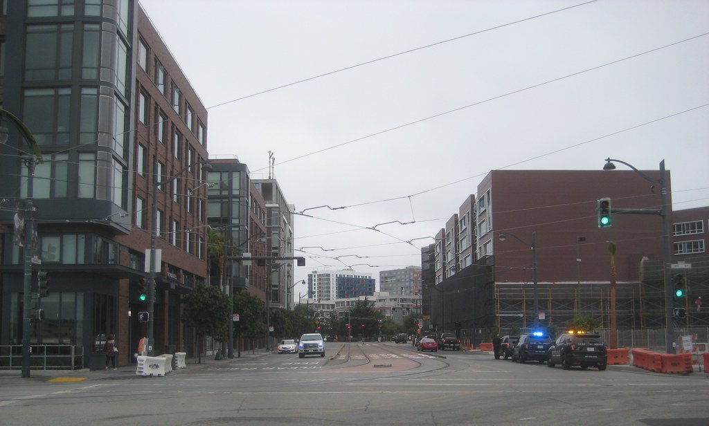
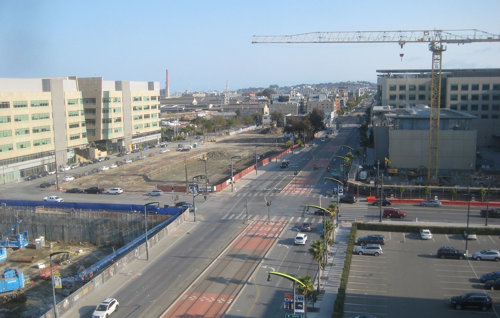
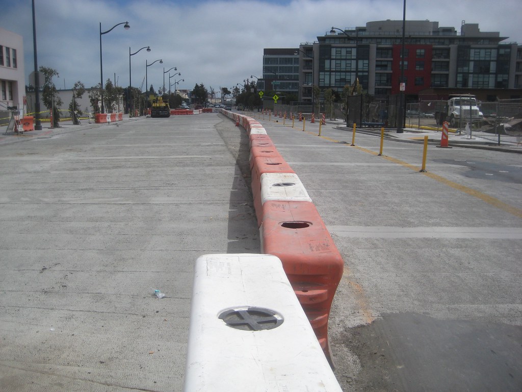
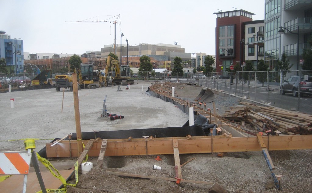
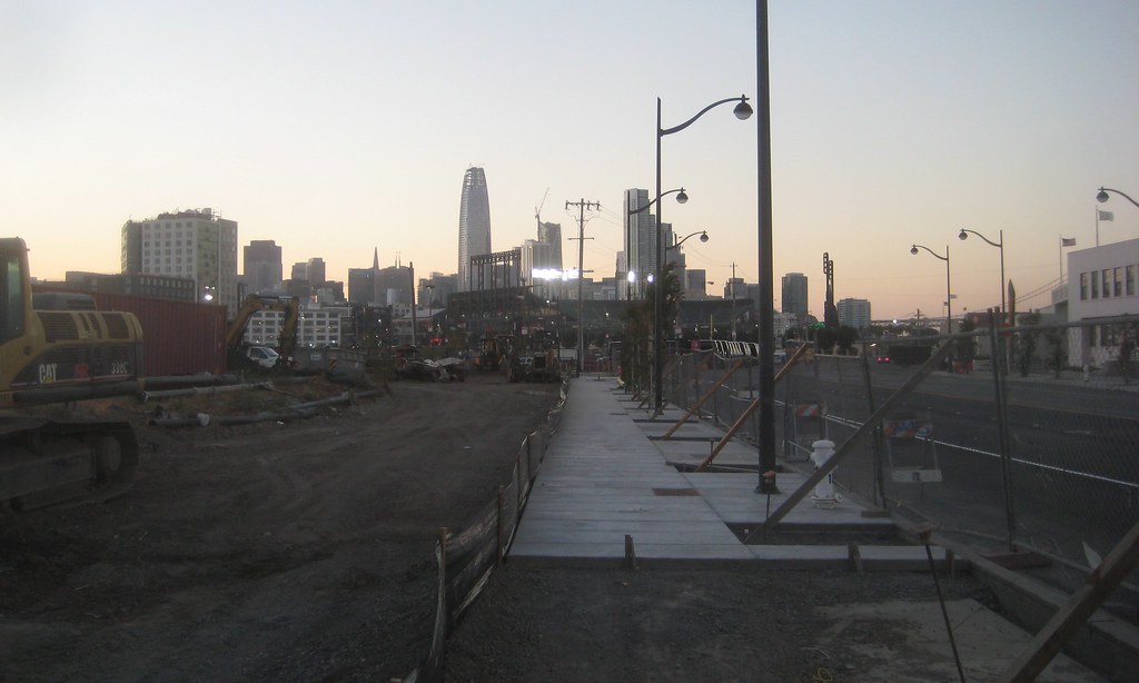
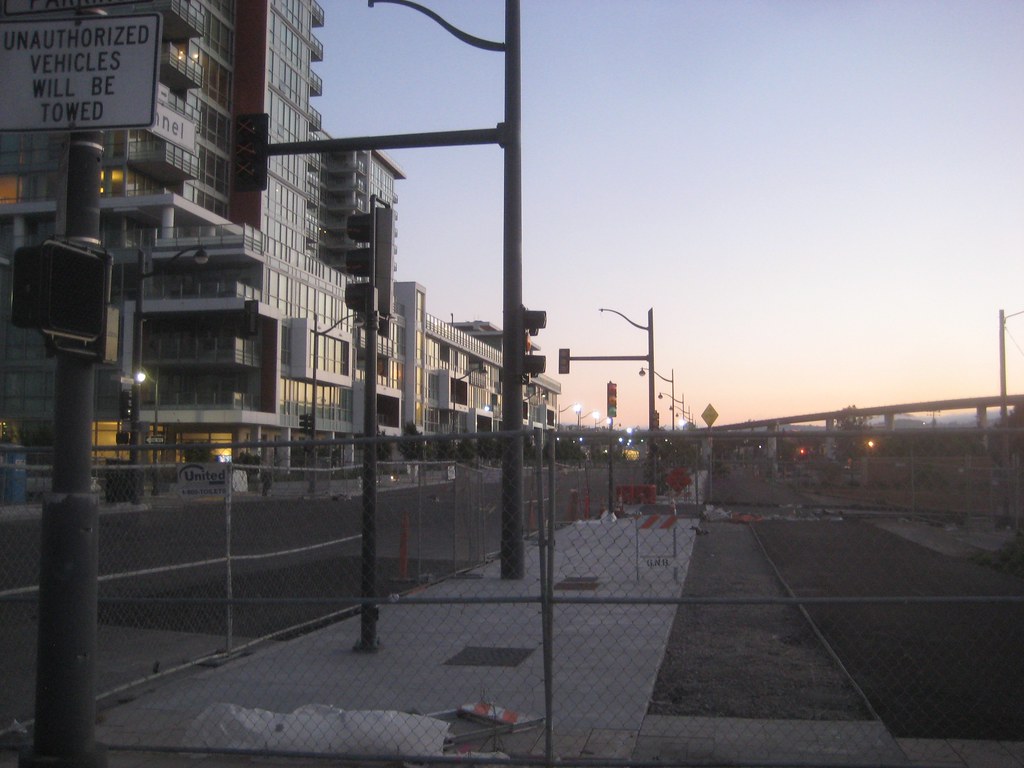
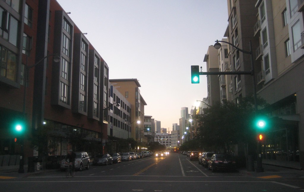
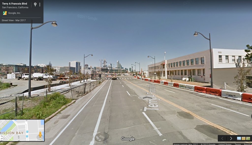
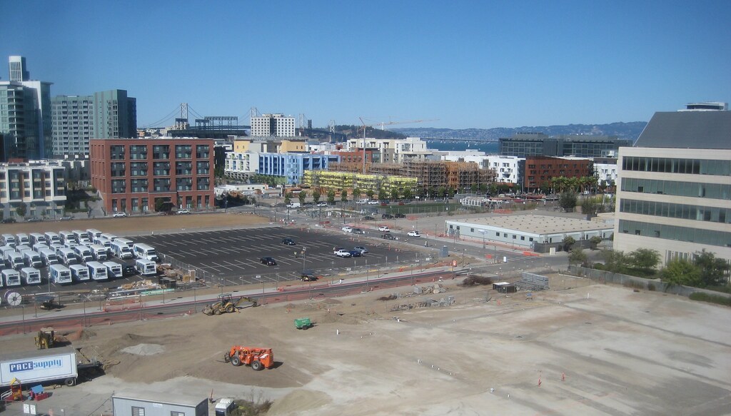
getting a little dark here, but, besides paving this section of Terry Francois Blvd around Mission Rock St, they've been working on the sidewalks on the west side of the street (TF), so appearing to progress toward opening Mission Rock soon
they're installing new traffic lights at the intersection of Channel and El Dorado (the street on either side of the future dog run), so this also seems to be moving toward an opening in the near future. what a difference that will make to traffic circulation in the area, when there is an east-west connection through MB south of the creek
Uber (was reading they cancelled their Oakland expansion altogether; hope that doesn't augur anything for this site)
I've been assuming that what it augurs is that when this site became available to them, they ended plans to put their HQ in Oakland and decided to put it here. So this site gains what Oakland loses.
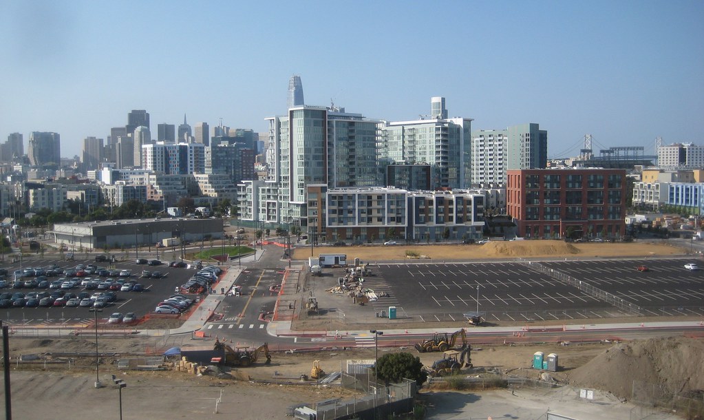
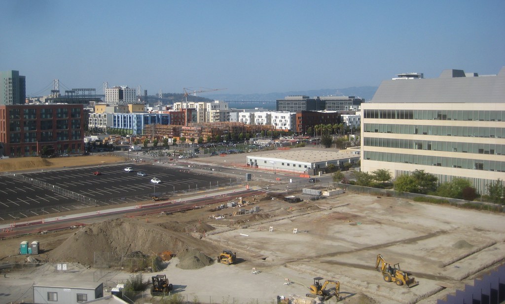
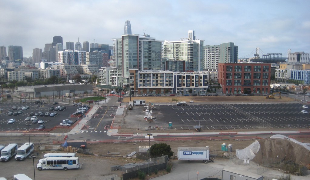
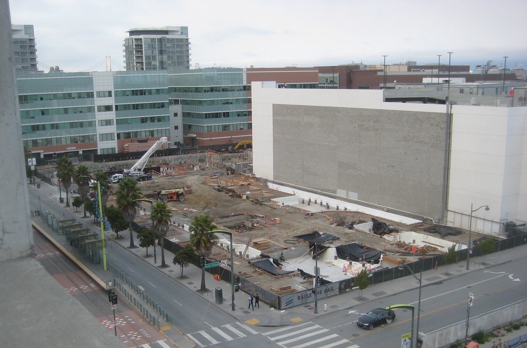
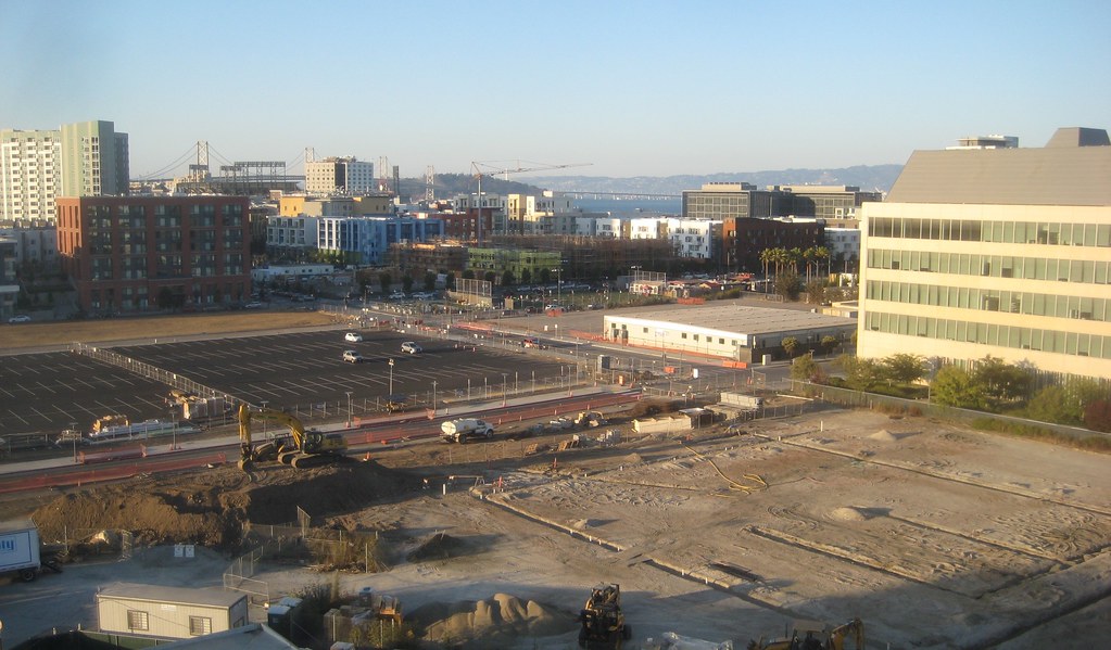
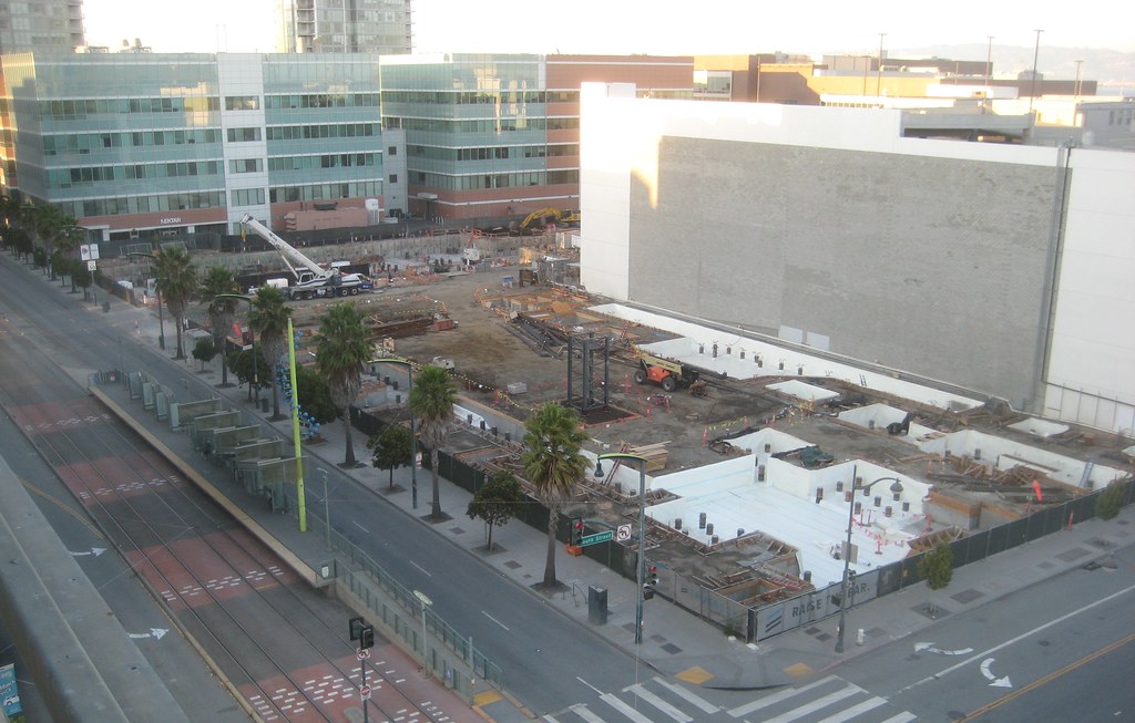
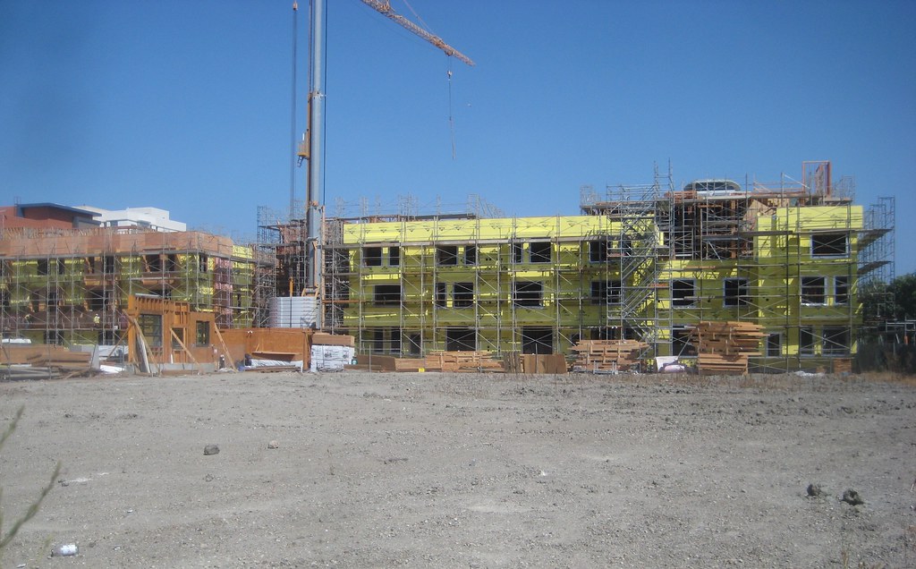
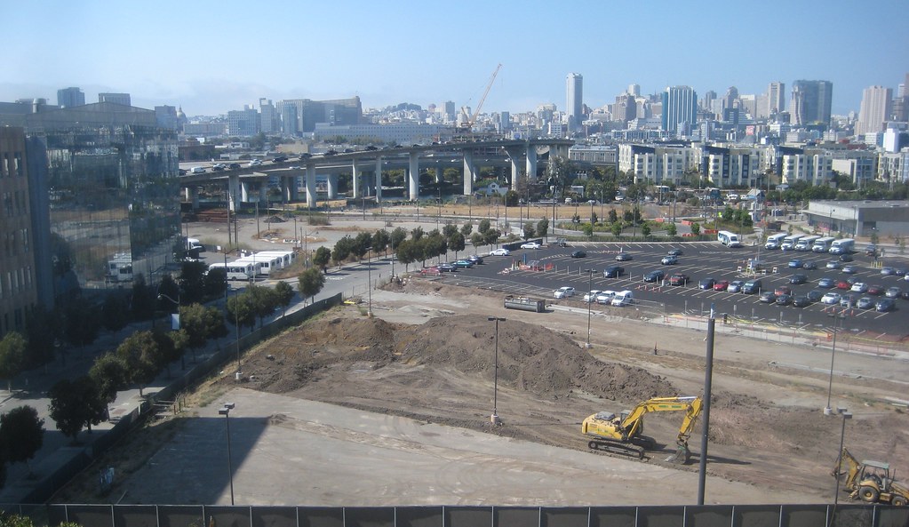
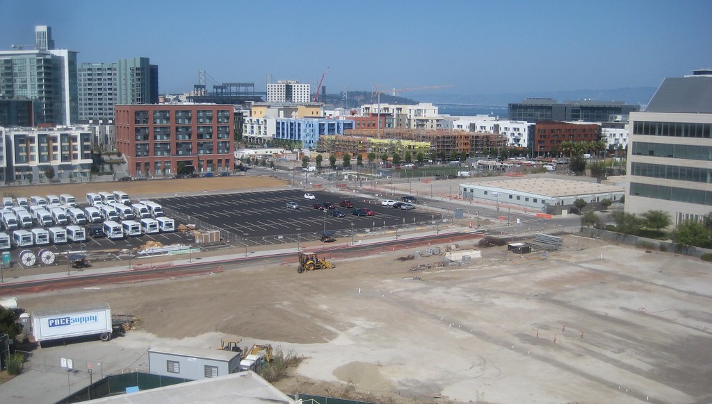
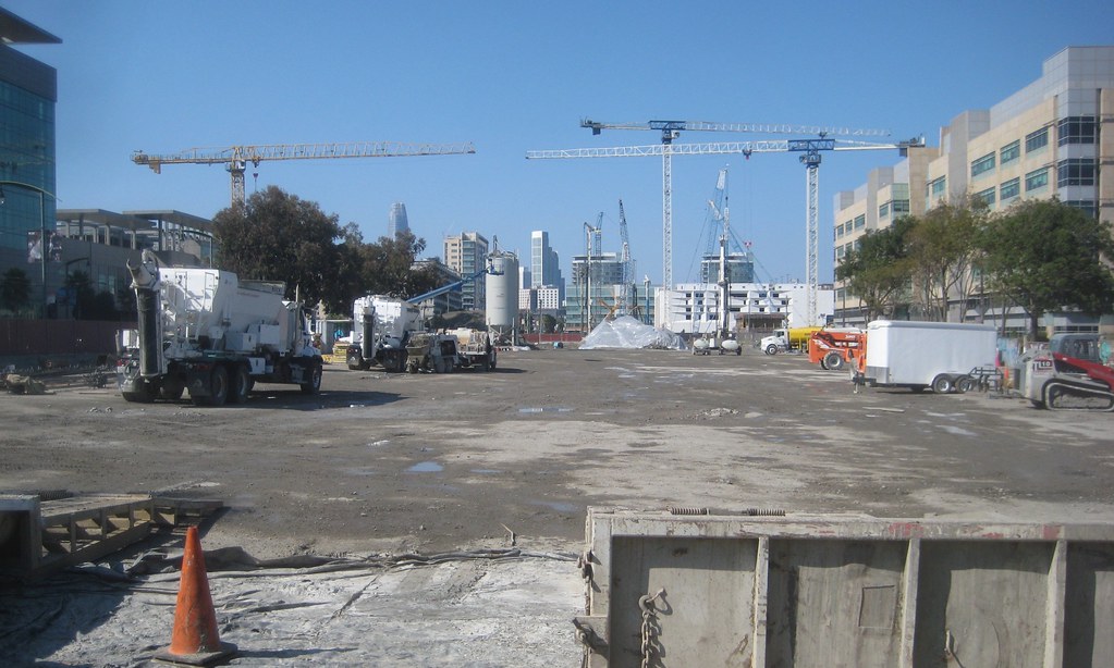
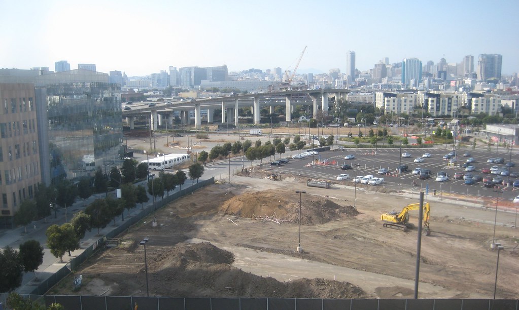
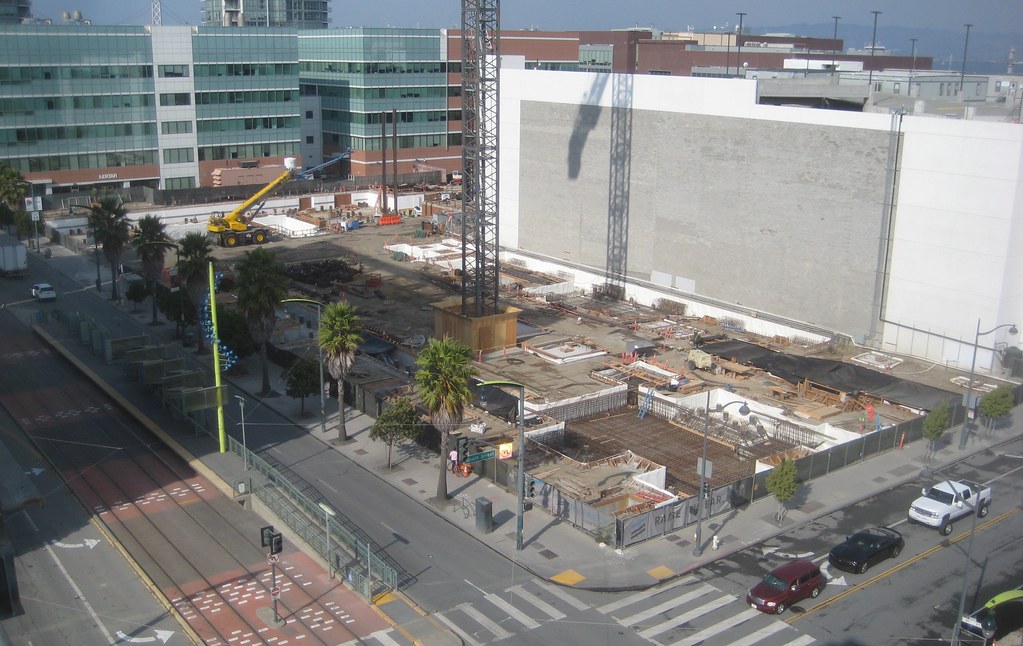
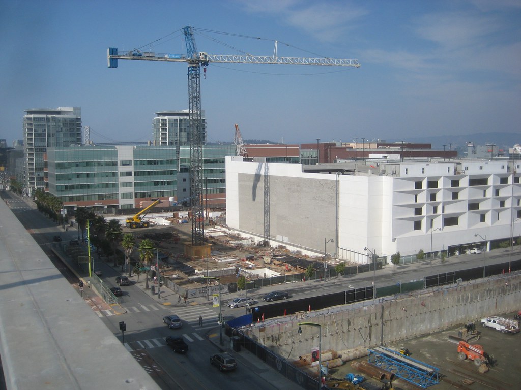
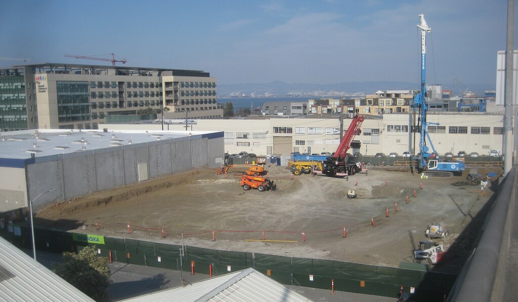
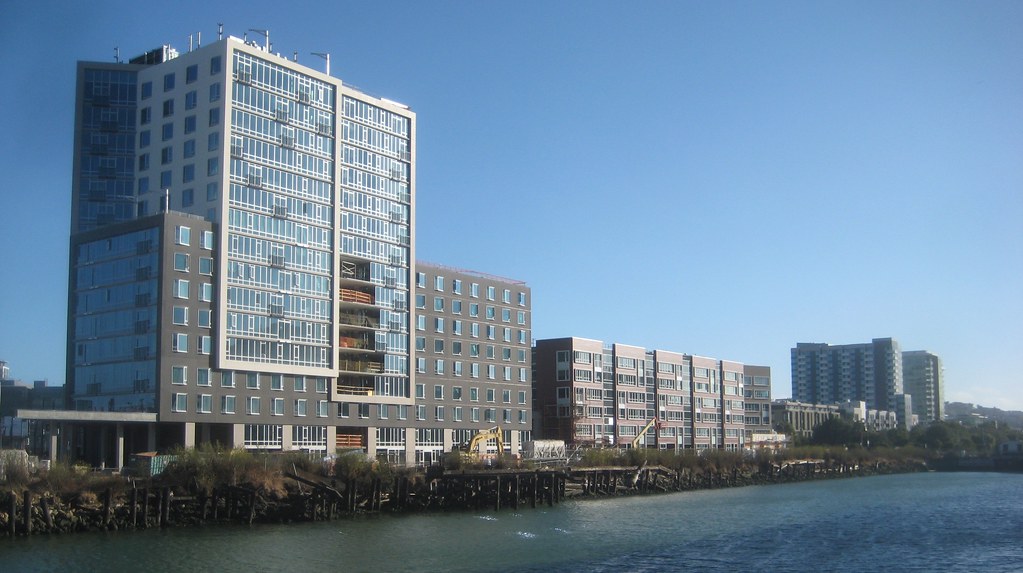
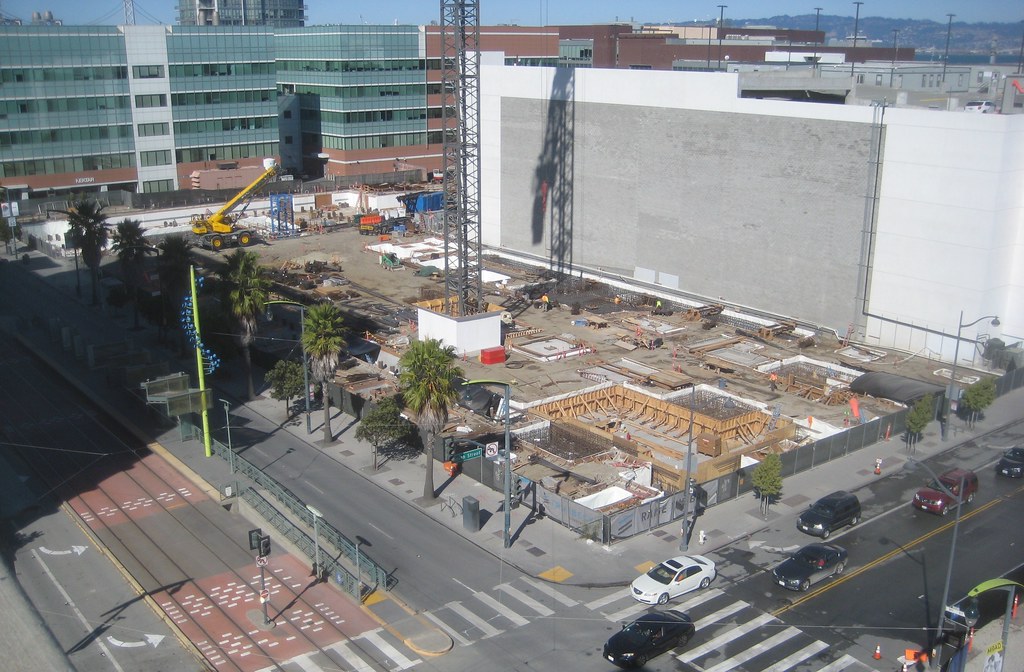
they're starting in on the creekside portion of block 1
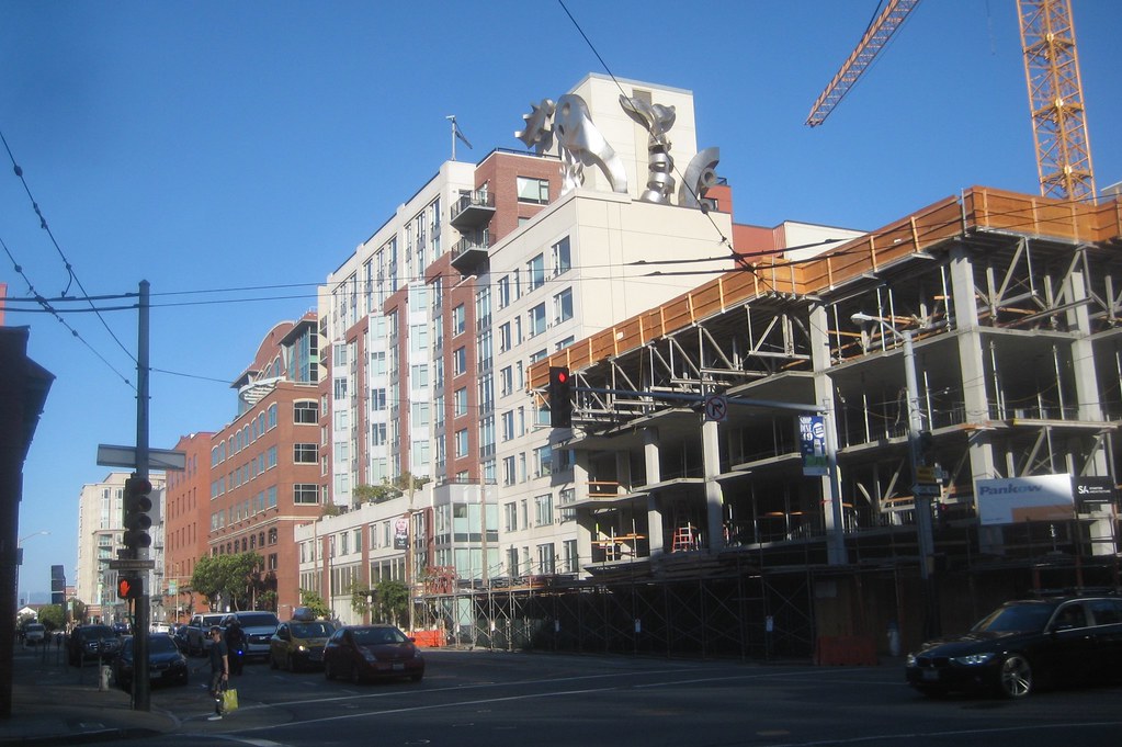
the west face of block 6
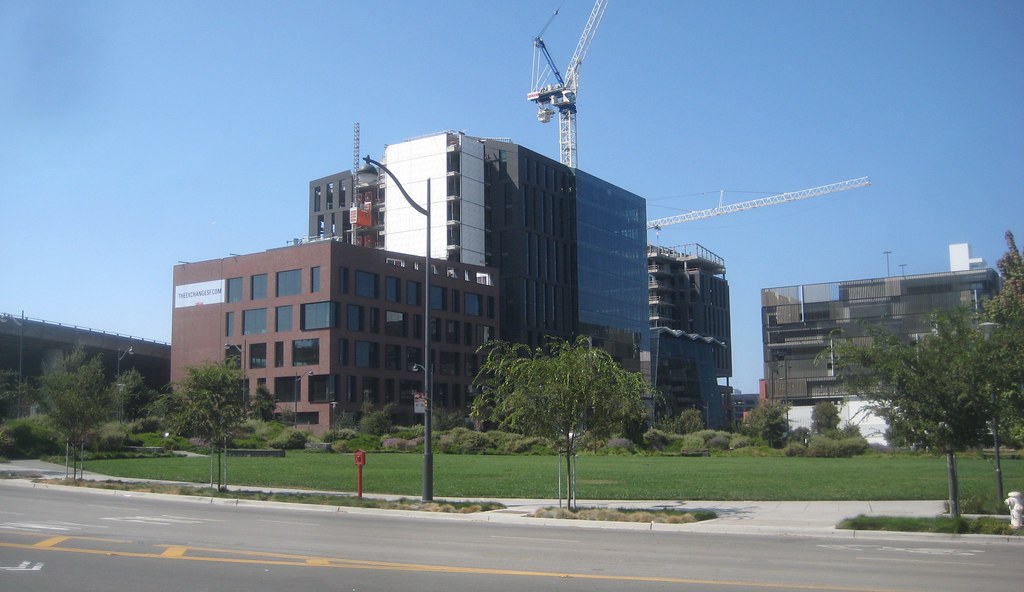
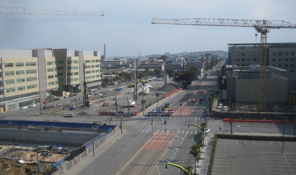
another look from SW
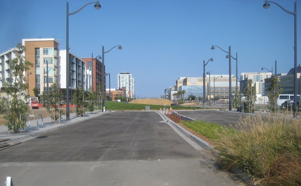
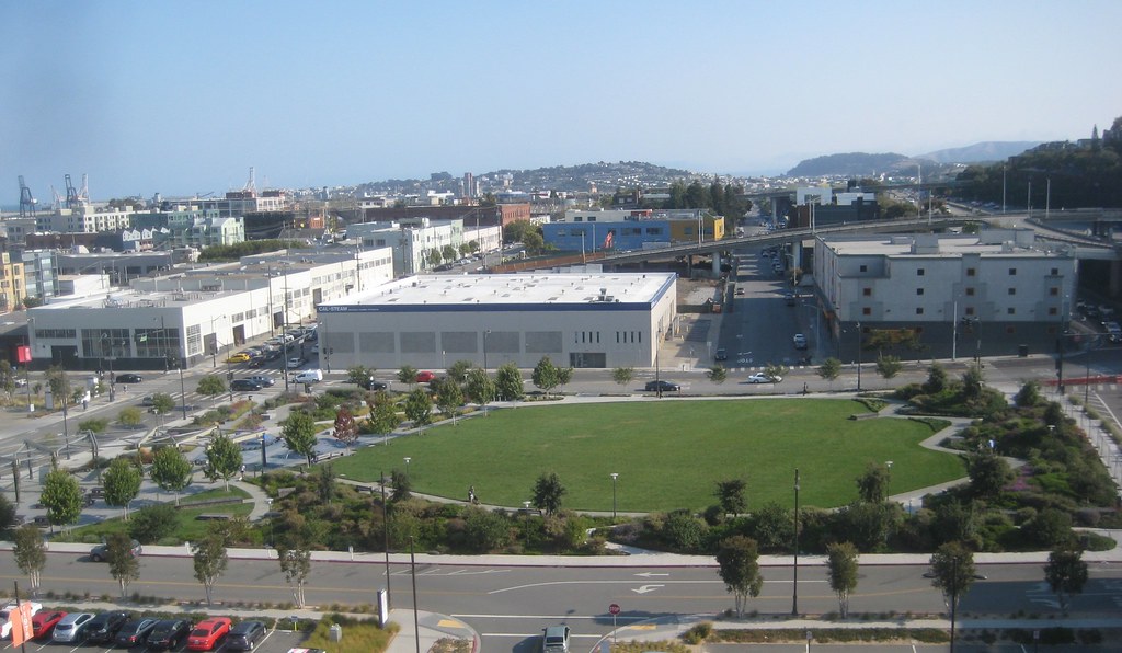
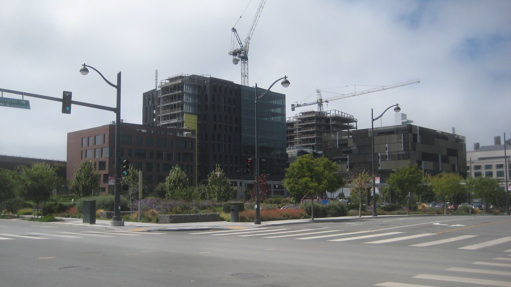
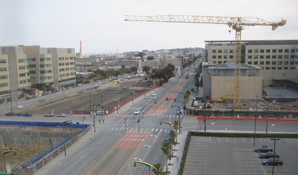
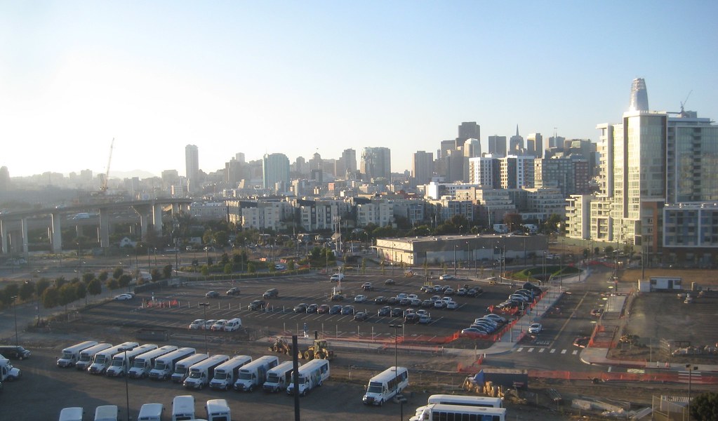
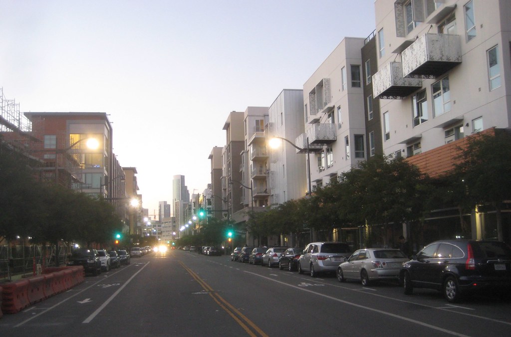
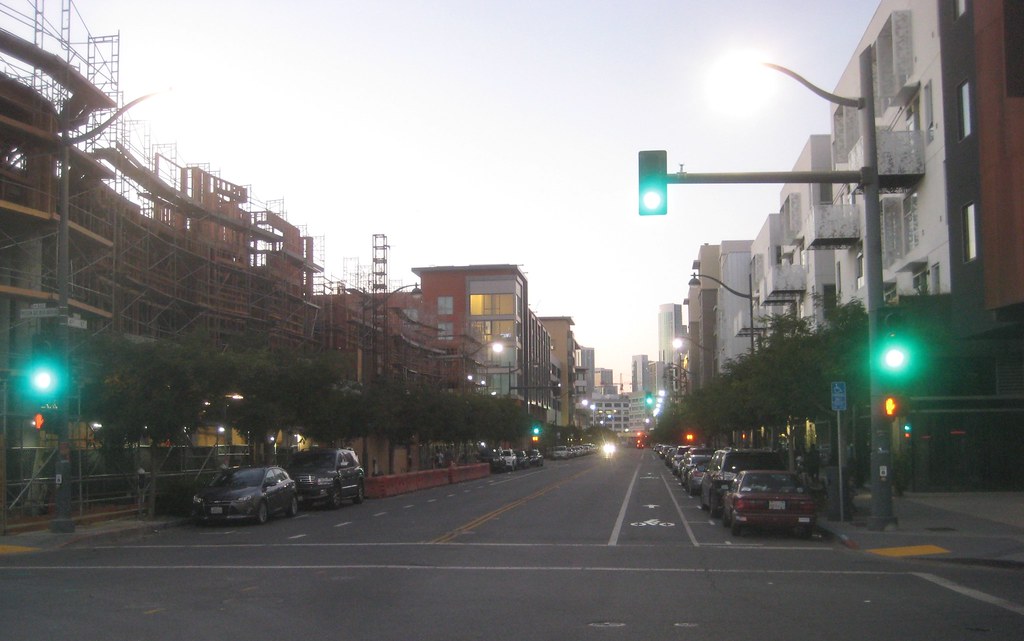
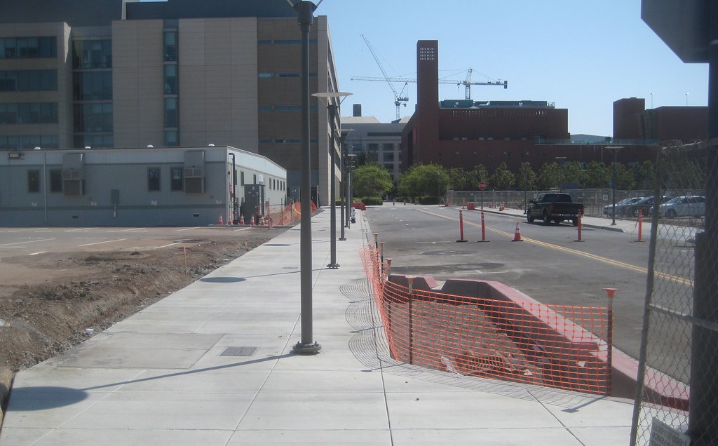
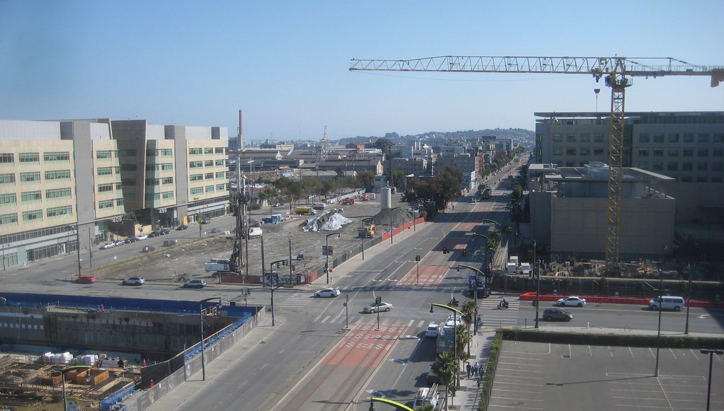
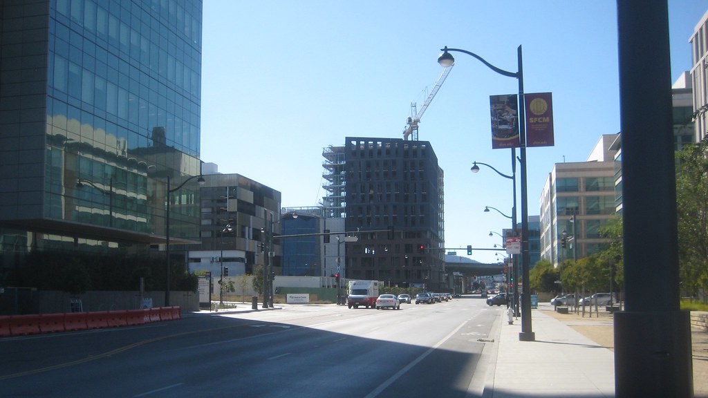
just some of the new street infrastructure UCSF has been putting in. new routes have been opened up through MB
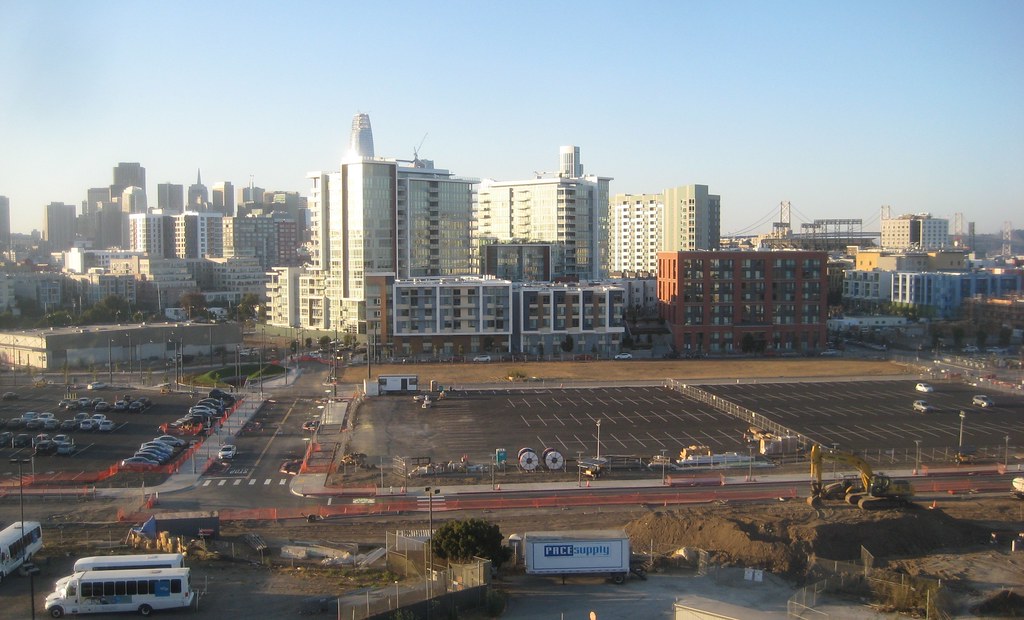
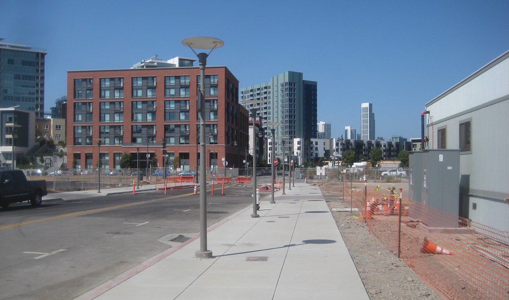
and new perspectives
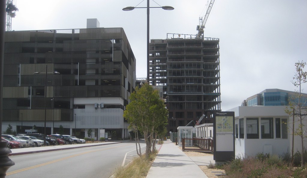
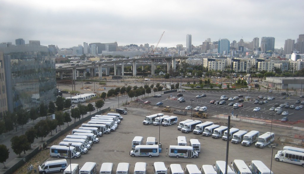
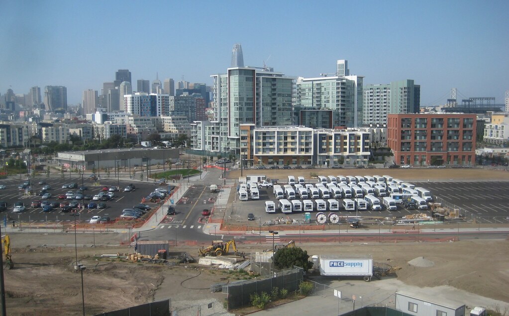
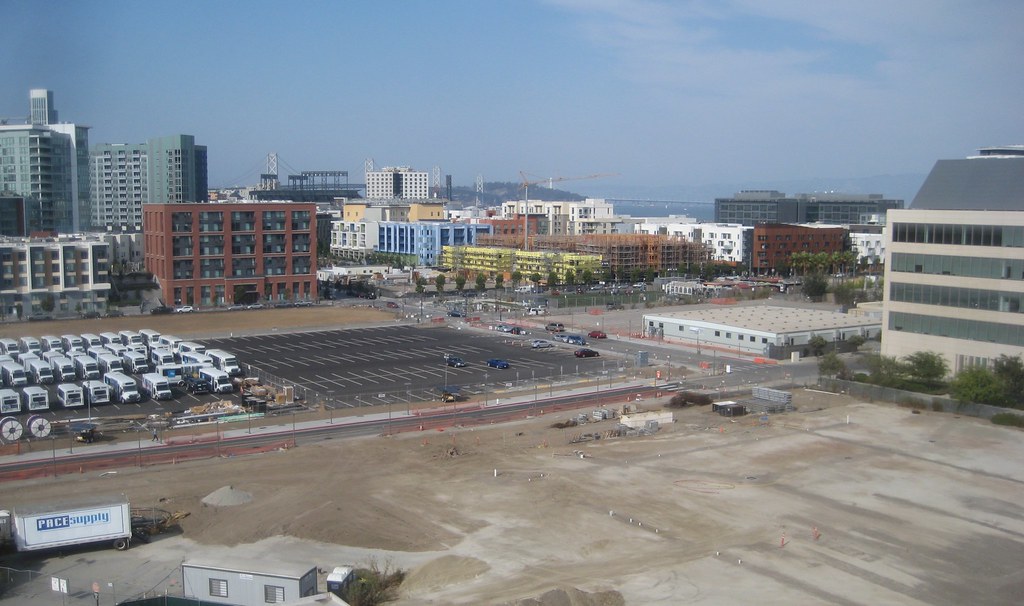
the Rutter views. they've tucked into the next parking lot to the south of the future school site, now that they had somewhere to move the UCSF shuttle vans
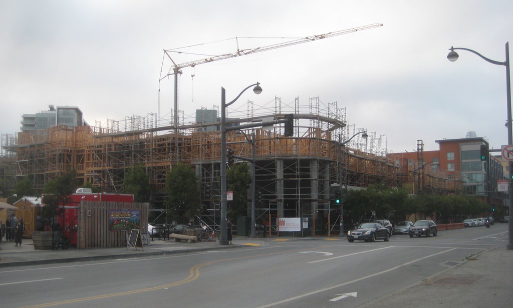
textures of the Exchange
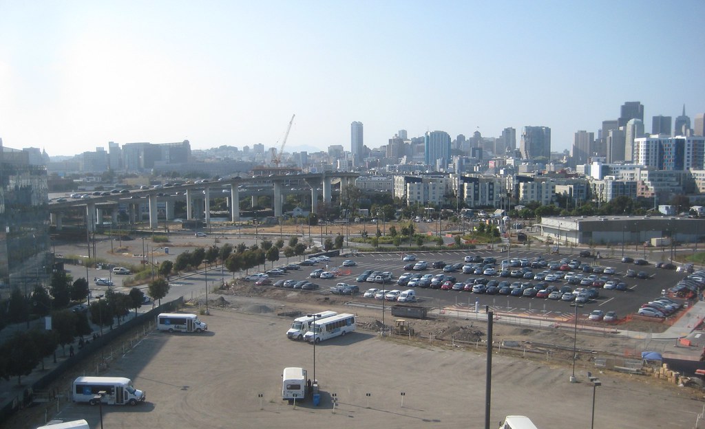
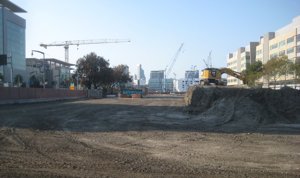
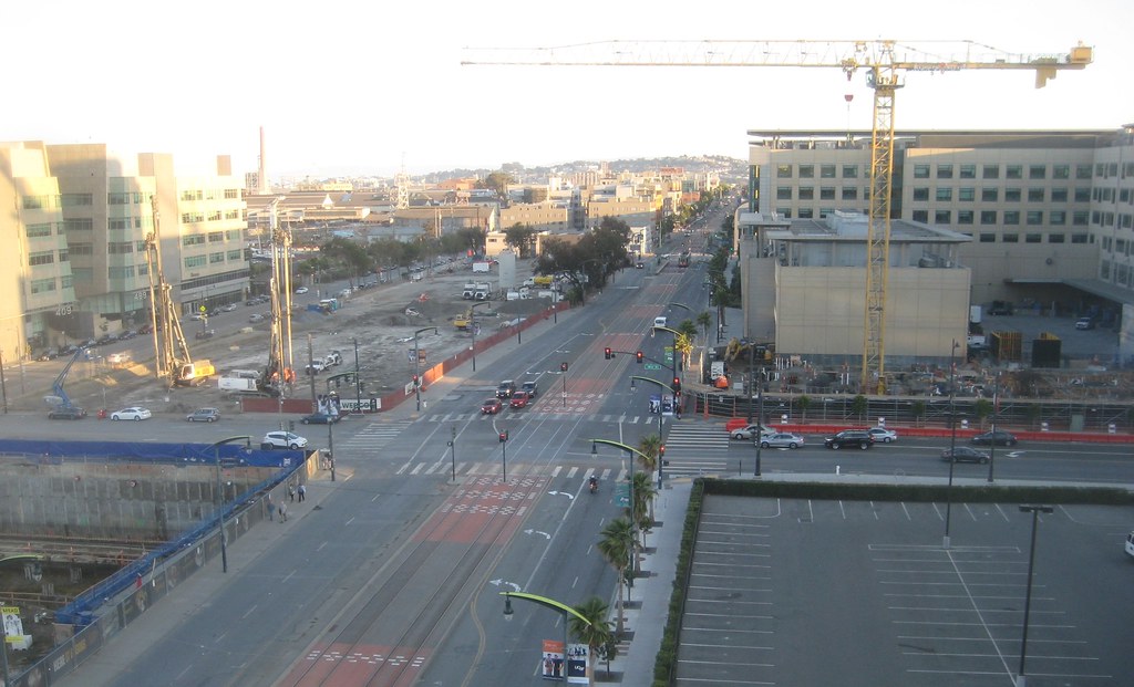
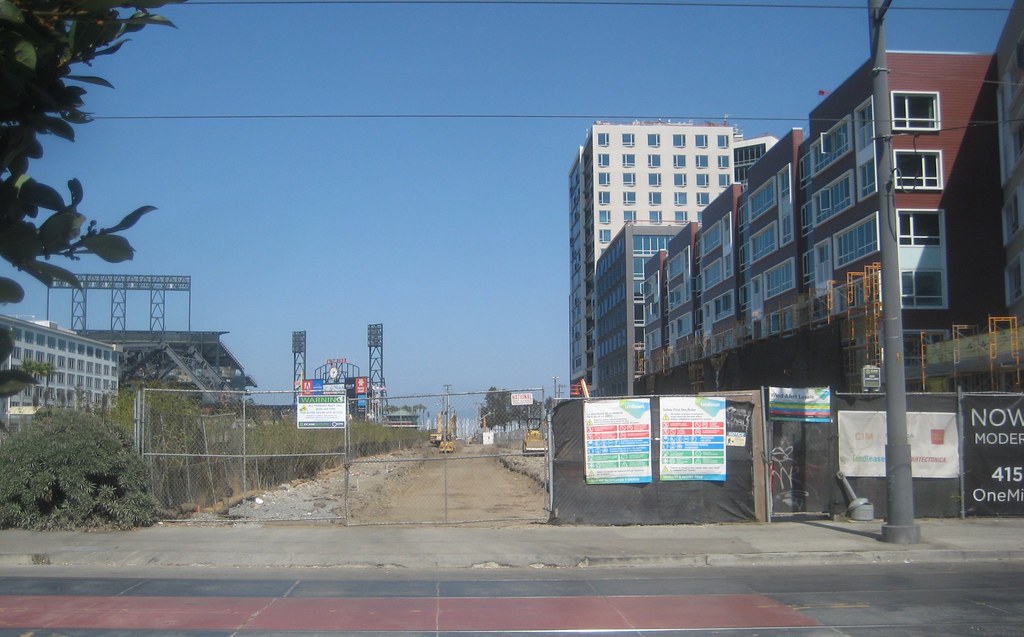
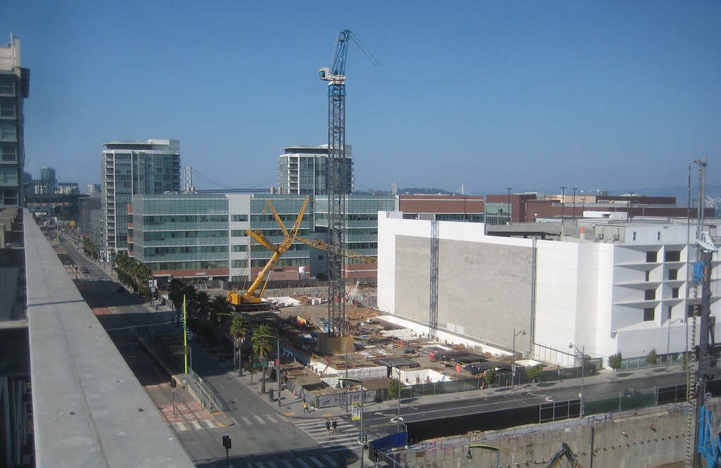
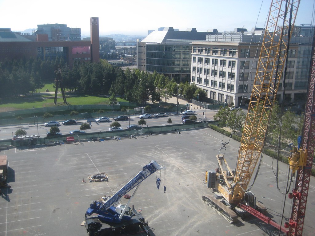
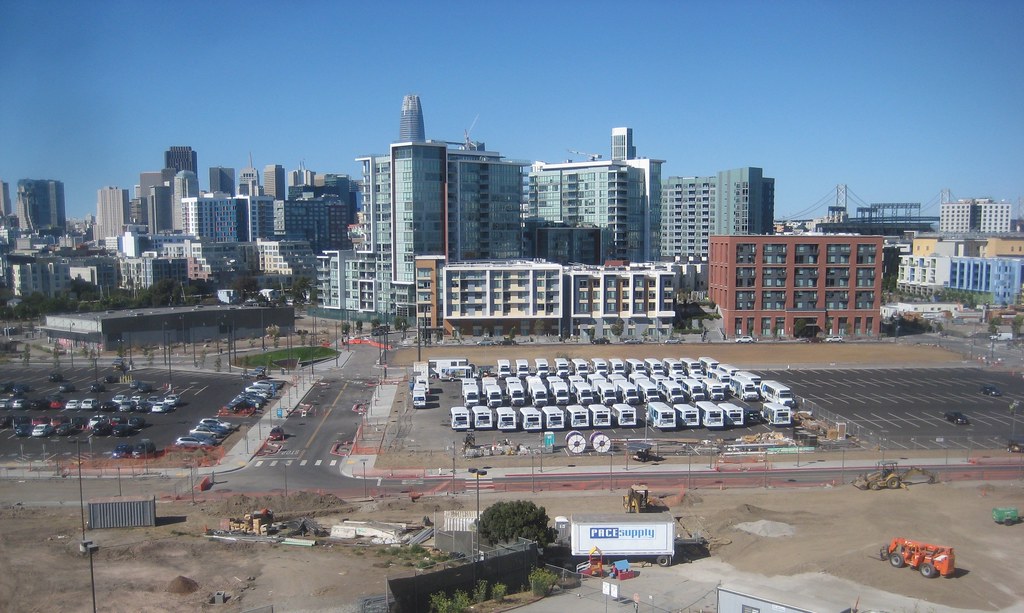
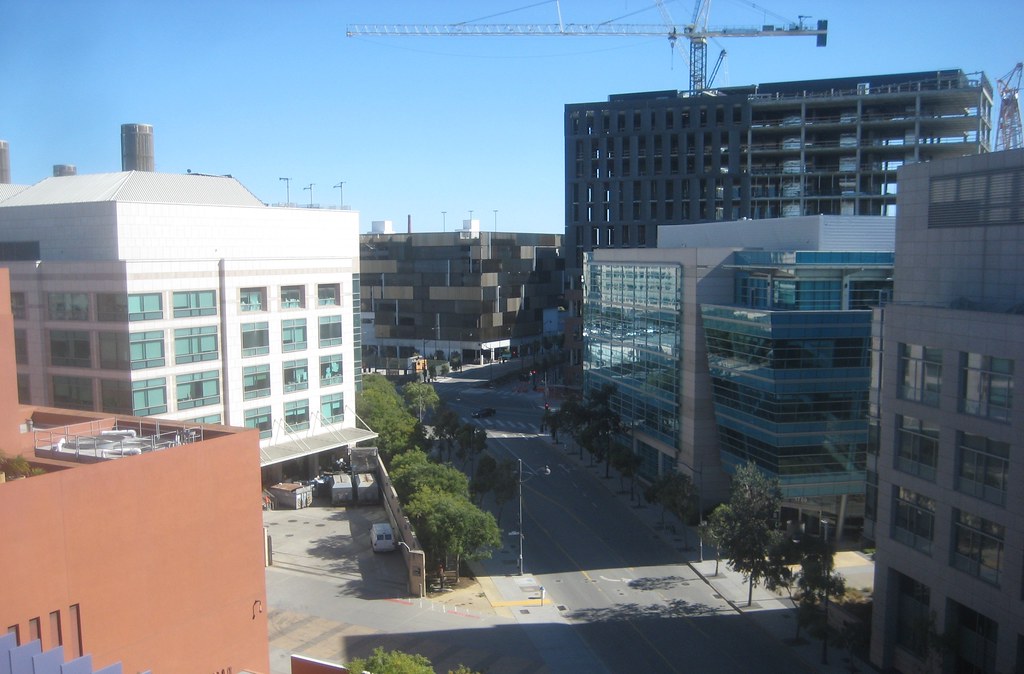
looking north through UCSF's block 33 at UCSF, Chase Center, and Uber cranes
speaking of which, a new crane is going up at Uber's site
I've been assuming that what it augurs is that when this site became available to them, they ended plans to put their HQ in Oakland and decided to put it here. So this site gains what Oakland loses.
I'm not aware that Uber ever planned to move their headquarters to Oakland. Uptown Plaza was only going to be an East Bay expansion.
^^Perhaps you are right. Every article on the subject refers to the Oakland building as their "Oakland Headquarters" but perhaps that's only as opposed to the "San Francisco Headquarters" which seems rather stupid to me (having 2 "headquarters" so close) but maybe that's what they intended. More Kalanik silliness--so glad he's gone (because now the company will probably survive the coming culling of the "unicorns").
I guess because its on Port property, but I can't believe the old 'San Francisco Eye Institute' building (at the foot of old Mission Rock, next to the boat club) has survived the redevelopment. I worked in the building for several years back in the late 80's and the place was dilapidated then!
Back then, the area was totally desolate. (It was the spot poor Unice got dumped in the movie "Whats Up Doc!") There was the 280 freeway stub, the old version of the China Basin Building and not much else... just us, the boat clubs, a huge dirty recycling center and the eventually the Espirt outlet.
That said, working out there was great.. real old school SF. We had most of our business meetings outside at The Ramp and get this--we kept a freezer full of fish to feed the seals. They would swim up to the pier and bark until we tossed them fish from the second floor windows!
... I can't believe the old 'San Francisco Eye Institute' building (at the foot of old Mission Rock, next to the boat club) has survived the redevelopment. ...
is that the sort of nondescript one between where Jelly's used to be and the northernmost boat club? the one on the right in this google maps streetview screenshot?
thanks for sharing your memories! I worked at Third and Townsend-ish in the early 1990s and remember that that felt like the edge of town. I didn't know the name of King St back then.
never went clubbing at the King Street Garage (the big space connected to 177 Townsend)?
I know where you are talking about, but no, I didn't know its name, either!
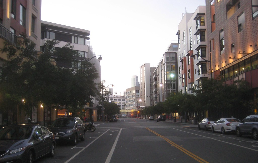
edit: a bit off-topic, but apropos of how things have changed, I was coincidentally by there at almost exactly the time you were writing your post today... this is what that block of Townsend looks like now, of course (looking east from Third)
The Giants’ Mission Rock project, which has been a decade in the making, would turn a 28-acre parking lot south of AT&T Park into a new neighborhood of up to 1,500 housing units, 1.5 million square feet of retail and office space, and 8 acres of parks. Plus, the historic bulkhead and shed on Pier 48 would be rehabilitated.
The Planning Commission’s Thursday vote is the first in a series of approvals that will take the project to the Board of Supervisors, the Port Commission, the Bay Conservation and Development Commission, and the State Lands Commission.
In the real estate development equivalent of a perfect game, the Giants’ vision of creating a new “heart of Mission Bay south” on 28 acres of paved parking lots across the Lefty O’Doul Bridge from AT&T Park won unanimous support at the Planning Commission on Thursday.
But it wasn’t just the seven commissioners who heaped undiluted praise on the project, called Mission Rock, which would bring up to 1,500 housing units, 1.5 million square feet of retail and office space, and 8 acres of parks to the expanse of hardtop currently used by fans for parking and tailgating.
It was everyone: progressives, moderates, neighborhood residents, nonprofit leaders, housing advocates, environmentalists, educators, youth workers, building trade representatives. In a city where development politics is blood sport, the debate over the Giants’ Mission Rock project was a game of patty-cake.
Last edited by minesweeper; Oct 6, 2017 at 8:16 PM.


 Prev
Prev


 Linear Mode
