(Image enhanced for clarity)
Well, this one led me on a merry chase

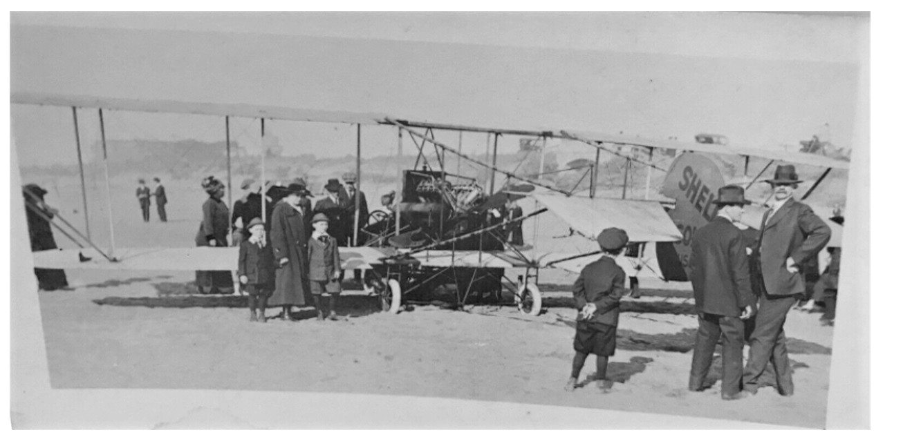
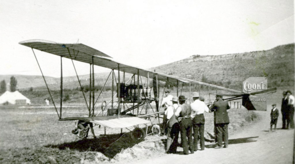
I was familiar with almost all the pre-WWI aircraft but had never seen this configuration: uneven span wings with outboard diagonal bracing, oval rudder, the small wheels. Not a Wright, not a Curtis, not a Martin. What the heck was it?
Well, I finally identified it as having been built by Weldon B. Cooke, a sadly short-lived California aviation pioneer. His accomplishments were summarized in this article:
https://www.cdcr.ca.gov/insidecdcr/2...c-1911-flight/
Here's a picture from that article:
I think the upper picture is clearly the same aircraft with the "Cooke" rudder replaced with a Shell Oil sponsorship. My guess is that upper one was taken during an Air Meet at Dominguez Field held in January 1912, immortalized in a Los Angeles Post-Record headline as:
"Fear-Calloused Birdmen Are Ready -- With Powerful Sky-Skimmers -- To Compete For High Aerial Honors"
Them were the days, my friends, them were the days
Cheers,
Earl
Edit: Fixed link, thanks HossC


 Prev
Prev


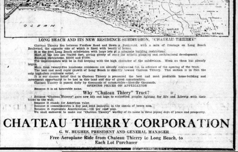
 That explains the use of the beach.


 Linear Mode
