A few shots from FB, apparently from a National Film Board of Canada documentary from planning the TCH across Newfoundland after Confederation.
Presumably (EDIT: nope, it's Pleasant Street) Hamilton Avenue in the Old West End/Riverhead?


Definitely the Old West End here. This area was brutalized. You see that church on the middle-right side? That's George Street United. It's one of the only surviving buildings in that photo. This is where the highway interchange and most of our taller buildings are now. My house is somewhere around here, but the street arrangement has changed so much between me and the church that I can't trace it back

If I had to guess, I'd say that main diagonal street on the upper right, the one whose right-side buildings are in shadow, is the old Barter's Hill before it was changed into a kind of wide switchback to minimize the incline (bulldozing half the houses around it). IF that's correct, then my house would be out of view somewhere to the right of that, with the central courtyard of one of those housing blocks being the park behind me now.

And the Battery:


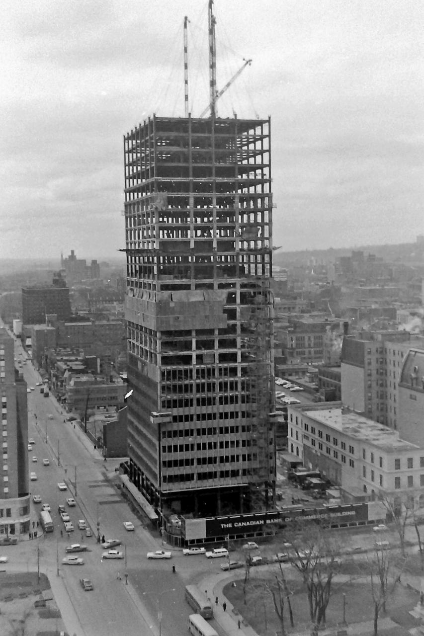
 Prev
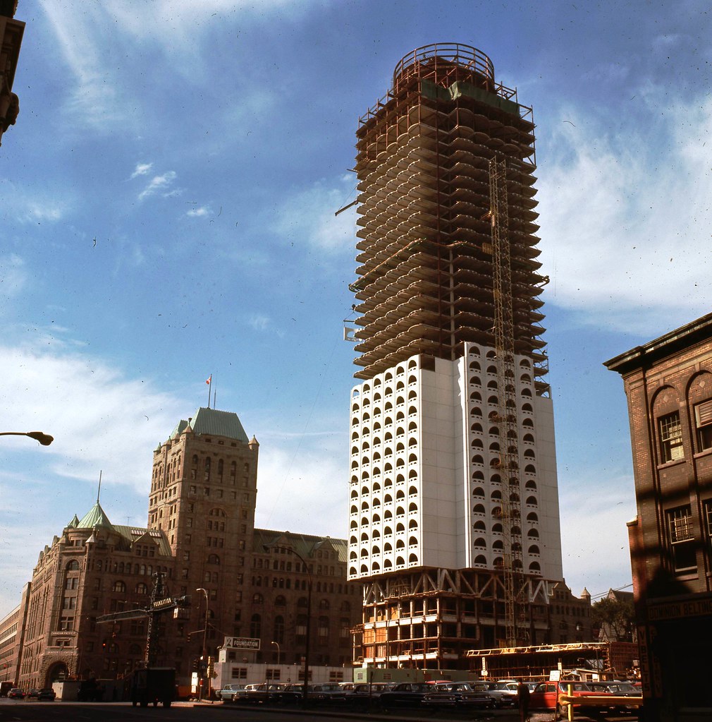
Prev


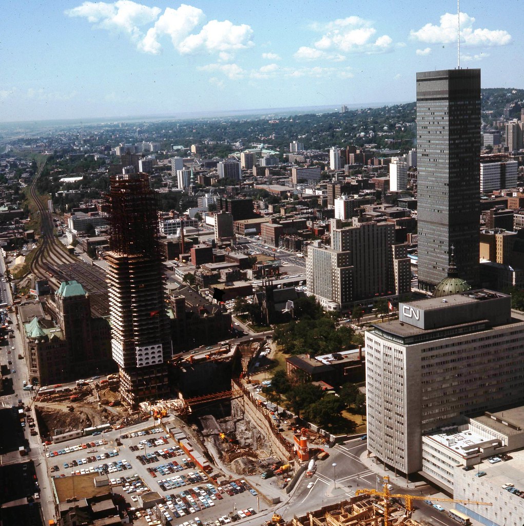


 Linear Mode
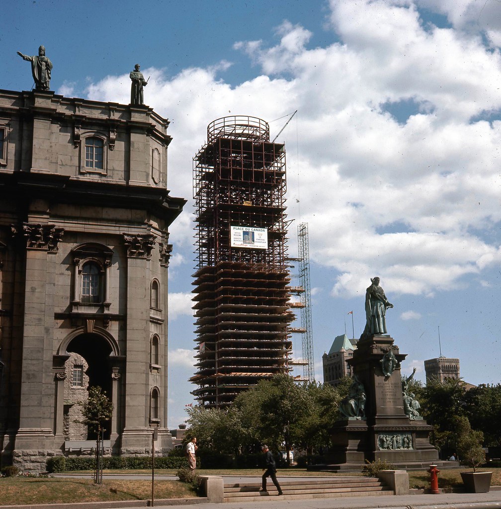
