HomeDiagramsDatabaseMapsForum About
     

Go Back   SkyscraperPage Forum > Photography Forums > My City Photos


Reply

 
Thread Tools Display Modes
     
     
  #1  
Old Posted Oct 1, 2021, 3:52 AM
xzmattzx's Avatar
xzmattzx xzmattzx is offline
Registered User
 
Join Date: May 2006
Location: Wilmington, DE
Posts: 6,361
My trip to New Mexico and Arizona

Last October, I went to the Grand Canyon, which I have doe every other year since 2014. With October beginning, and the air getting crisp at night, it has reminded me of that trip. Early fall now makes me think of the Southwest.

I have a tendency to post a ton of pictures, so I will try to keep posts short. We'll see how it goes!


First, we begin with the flight out. I flew from BWI to Albuquerque, with a connection in Dallas that they added with the shuffling of flights due to the pandemic. Let's take off!


Baltimore


Towson, MD


Frederick, MD


Harper's Ferry, WV


Harrison, AR, because we don't see much of Arkansas on here


Fort Smith, AR


Approaching Dallas


McKinney


This is apparently the biggest high school football stadium in the US. Apologies for the blurriness, but I didn't think I'd fly over it.


Dallas suburbs


Jerry World...


Las Colinas


The flight arrived late, so there was no time to get off the plane and explore the airport, but there was time to get a couple pictures of Downtown Dallas and Las Colinas.


After taking off for Albuquerque, I had those famous views flying directly over Downtown.


Las Colinas


DFW


Texas Motor Speedway


Subdivisions creep into ranch country


Plainview, TX


Over New Mexico


The Sandia Mountains


Sandia Peak, over Albuquerque's eastern suburbs


Uptown Albuquerque


Downtown Albuquerque


Up next, we explore Albuquerque a little bit, and then head west.
Reply With Quote
     
     
  #2  
Old Posted Oct 1, 2021, 7:47 PM
EastSideHBG's Avatar
EastSideHBG EastSideHBG is offline
Me?!?
 
Join Date: Jul 2001
Location: Philadelphia Metro
Posts: 11,223
Lovely!
__________________
Right before your eyes you're victimized, guys, that's the world of today and it ain't civilized.
Reply With Quote
     
     
  #3  
Old Posted Oct 2, 2021, 2:32 AM
MplsTodd MplsTodd is offline
Registered User
 
Join Date: May 2005
Location: Columbus & Mpls
Posts: 765
Excellent aerials! A few years ago I booked a flight from Austin to Dallas and paid extra to get a window seat in front of the wing. I looked at the map and figured out which side of the plane would provide the best view of downtown. Of course, what happens? Completely foggy on that day. Grrrr… I loved your Dallas aerials!
__________________
Every City has something worth seeing!
Reply With Quote
     
     
  #4  
Old Posted Oct 4, 2021, 2:19 AM
xzmattzx's Avatar
xzmattzx xzmattzx is offline
Registered User
 
Join Date: May 2006
Location: Wilmington, DE
Posts: 6,361
Quote:
Originally Posted by MplsTodd View Post
Excellent aerials! A few years ago I booked a flight from Austin to Dallas and paid extra to get a window seat in front of the wing. I looked at the map and figured out which side of the plane would provide the best view of downtown. Of course, what happens? Completely foggy on that day. Grrrr… I loved your Dallas aerials!
I do that with all my flights! I've had some great flights, and almost every time, I pick the correct side of the plane!
Reply With Quote
     
     
  #5  
Old Posted Oct 4, 2021, 8:46 PM
Nightsky's Avatar
Nightsky Nightsky is offline
Illustrator, editor
 
Join Date: Mar 2004
Location: Malmö
Posts: 3,690
Nice, we rarely see aerials from flights, but they are underrated. I always try to get a window seat, and often gets amazing views over cities and nature, especially during take off and landing.
__________________
Website about my travels in USA and Europe:
http://www.worldtravelimages.net

All my diagram drawings - more than 700!:
http://skyscraperpage.com/diagrams/?14670510
Reply With Quote
     
     
  #6  
Old Posted Oct 5, 2021, 6:36 PM
xzmattzx's Avatar
xzmattzx xzmattzx is offline
Registered User
 
Join Date: May 2006
Location: Wilmington, DE
Posts: 6,361
After landing and picking up the rental car, it was time to drive to Gallup, where I was staying overnight. I decided to split the drive to the Grand Canyon in half, so I could visit Petrified Forest N.P. and some other places during the day.


But first, I explored Albuquerque a little bit. I love Old Town Albuquerque, so I stopped by there to see how it was since my last time in town. The centerpiece is San Felipe Neri Church, built in 1793.


The area of Old Town around the old plaza, a couple blocks off of Route 66, oozes charm in the early evening.


I also saw a couple locations from "Breaking Bad", even though I only watched a handful of episodes.


Route 66, unsurprisingly, has some good neon signs.


After a little time in Albuquerque, it was time to hit the road. Off west on I-40!


The Rio Puerco Bridge, built in 1933. It used to carry Route 66 across the Rio Puerco. It is one of many roadside landmarks on the old Route 66.


After a ton of traffic in the middle of nowhere, I stopped in Grants to get a beer at a brewery off the Interstate (and had a local badge on Untappd). I drove through town afterwards to see the old Route 66 alignment through town, and saw this.


I arrived in Gallup, and pulled up to my hotel, the El Rancho. The hotel was built in 1937 in a Rustic style, and was the on-location home for many movie stars in the 1940s and 1950s as they filmed Western movies out in the desert nearby.


Is the El Rancho a hotel or motel? Well, according to their neon sign, it's both!


Gallup is on the old Route 66. (You'll notice a Route 66 theme in this entire thread.) There's a lot of old motels that have a lot of charm to them (as long as you just drive by...). You can see my phototour of Gallup here (from a previous trip).


Being the closest metro area to the Navajo Nation, as small as it is, Native American items appear to be big sellers here.


But Gallup is a ghost town. I've driven through in the evening once, and stayed overnight here on this instance. I have never seen a bar in this town before. The 49er Lounge at the El Rancho, which is on Esquire Magazine's "Best Bars in America" list, closed at 10:00. I dare you to find a bar in this town, or some place open late at night.


Up next, we head to the Navajo Nation!
Reply With Quote
     
     
  #7  
Old Posted Oct 5, 2021, 11:02 PM
MayDay's Avatar
MayDay MayDay is offline
Member of SSP since 1997
 
Join Date: Jul 2001
Location: Cleveland, Ohio
Posts: 7,117
Nice! We had planned on a trip to Santa Fe (and more) but the pandemic put the kibosh on that but one day we'll make it out to New Mexico. Like some of you said - early on, my husband learned that I always get the window seat and I will always pick a seat further back rather than sit over the wing - I got photos to take!!
Reply With Quote
     
     
  #8  
Old Posted Oct 6, 2021, 2:54 AM
Omaharocks Omaharocks is offline
Registered User
 
Join Date: Oct 2002
Posts: 712
Nice pics! I miss Albuquerque, though I still return at least once a year.

Gallup doesn't have any bars, or very few, because as the unofficial capital of the Navajo Nation, and general crossroads of many pueblos, there are a lot of restrictions around alcohol. And understandably so, given the impact it has had on so many western NM and native communities.
Reply With Quote
     
     
  #9  
Old Posted Oct 12, 2021, 3:27 AM
xzmattzx's Avatar
xzmattzx xzmattzx is offline
Registered User
 
Join Date: May 2006
Location: Wilmington, DE
Posts: 6,361
Quote:
Originally Posted by Omaharocks View Post
Nice pics! I miss Albuquerque, though I still return at least once a year.

Gallup doesn't have any bars, or very few, because as the unofficial capital of the Navajo Nation, and general crossroads of many pueblos, there are a lot of restrictions around alcohol. And understandably so, given the impact it has had on so many western NM and native communities.
That makes sense in one way, but isn't that patronizing to Native Americans? No Native Americans can enjoy themselves responsibly because others cannot, or because of a stereotype that Native Americans cannot controls themselves around alcohol?
Reply With Quote
     
     
  #10  
Old Posted Oct 12, 2021, 3:28 AM
xzmattzx's Avatar
xzmattzx xzmattzx is offline
Registered User
 
Join Date: May 2006
Location: Wilmington, DE
Posts: 6,361
In the morning, I checked out the grounds of El Rancho Hotel. The neon sign was still switching between the "H" and "M".


Then I explored Gallup for a little bit.


Then it was off to the Navajo Nation.


It seems like each big city has some type of series of animal statues painted by local artists. Leaving Gallup, there were a bunch of Navajo pots along the median of US 491.


New Mexico Route 264


Entering Arizona


I drove around Window Rock, the capital of the Navajo Nation. Window Rock features the Navajo National Council Chamber, the only legislative headquarters in the US owned by an American Indian tribe which has been continuously in use by that tribe. You can see my phototour of Window Rock here.


Navajo Nation signage


Near Window Rock is the community of St. Michaels. St. Michaels is known for being a mission associated with St. Katharine Drexel, who purchased the land from a rancher.


After driving through, I headed south on Indian Route 12 to I-40. I saw some slices of life on the reservation, like ranchers driving cattle, and people bringing tanks of water to their houses.


Interstate 40


Up next, Petrified Forest National Park!
Reply With Quote
     
     
  #11  
Old Posted Oct 12, 2021, 4:18 AM
DetroitSky's Avatar
DetroitSky DetroitSky is offline
Moderator
 
Join Date: Aug 2006
Location: Detroit
Posts: 2,461
Beautiful!
Reply With Quote
     
     
  #12  
Old Posted Oct 12, 2021, 4:29 AM
davee930's Avatar
davee930 davee930 is offline
Registered User
 
Join Date: Nov 2006
Posts: 1,735
delete
Reply With Quote
     
     
  #13  
Old Posted Oct 18, 2021, 6:33 PM
xzmattzx's Avatar
xzmattzx xzmattzx is offline
Registered User
 
Join Date: May 2006
Location: Wilmington, DE
Posts: 6,361
I arrived at Petrified Forest National Park with an entire afternoon to explore. For those that plan on going, I recommend almost a full day for the park. I had originally been here four years earlier, but I arrived in mid-afternoon. The park closes at 5:00 PM, so you can get rushed if you get there well after lunch. By the way, Petrified Forest N.P. is right off of I-40; it even has its own exit.


Welcome!


Try and figure this out. You can jump between time zones in Arizona due to their crazy daylight savings time procedures.


The visitor center was built in 1965, and was designed by Richard Neutra and Robert Alexander. It is one of the few Neutra buildings in Arizona, and the last Neutra building in the National Park Service. It is considered one of the key buildings of the Mission 66 architectural program within the National Park Service.


The Painted Desert


The Painted Desert Inn was built in 1924, and was the original visitor center for the park (when it was still a National Monument). It was called the Stone Tree House when it opened under private hands. After being sold to the park, it was renamed to Painted Desert Inn, and redesigned by noted NPS architect Lyle Bennett in 1940. It was further changed in 1949 by another noted NPS architect, Mary Jane Colter. She changed the interior color scheme and had Hopi murals painted by a local artist.


The old power lines show where Route 66 used to go through the area.


Puerco Pueblo. The pueblo was built in the 1200s, and abandoned by 1380.


Near the pueblo are petroglyphs.


Newspaper Rock


Blue Mesa


Agate Bridge


Jasper Forest


Crystal Forest


The Agate House is a reconstructed pueblo, dating back to around 900, and inhabited until around 1200. It was reconstructed in 1934.


The Rainbow Forest Museum was built in 1931, and was the original Administration Building for the park. Triassic dinosaur skeletons are a highlight in the museum.


Up next, we drive to the Grand Canyon, with a stop in Flagstaff!
Reply With Quote
     
     
  #14  
Old Posted Oct 25, 2021, 2:29 AM
Murphy de la Sucre's Avatar
Murphy de la Sucre Murphy de la Sucre is offline
Registered User
 
Join Date: Jan 2016
Location: Antwerp
Posts: 1,078
You are killing me with all those birdeye and skyline photos along the trip.

The true spirit of a real TRIP.
__________________
I am delusional, I talked to photos.
Reply With Quote
     
     
  #15  
Old Posted Oct 25, 2021, 2:52 AM
Murphy de la Sucre's Avatar
Murphy de la Sucre Murphy de la Sucre is offline
Registered User
 
Join Date: Jan 2016
Location: Antwerp
Posts: 1,078
I never knew there was a Towson, MD with such cute but decent skyline.

Thanks for that.
__________________
I am delusional, I talked to photos.
Reply With Quote
     
     
  #16  
Old Posted Oct 28, 2021, 1:14 AM
DetroitSky's Avatar
DetroitSky DetroitSky is offline
Moderator
 
Join Date: Aug 2006
Location: Detroit
Posts: 2,461
Petrified Forest looks so otherworldly. Just amazing.
Reply With Quote
     
     
  #17  
Old Posted Oct 29, 2021, 3:00 AM
xzmattzx's Avatar
xzmattzx xzmattzx is offline
Registered User
 
Join Date: May 2006
Location: Wilmington, DE
Posts: 6,361
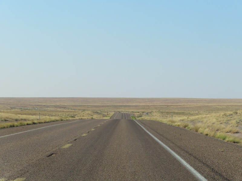
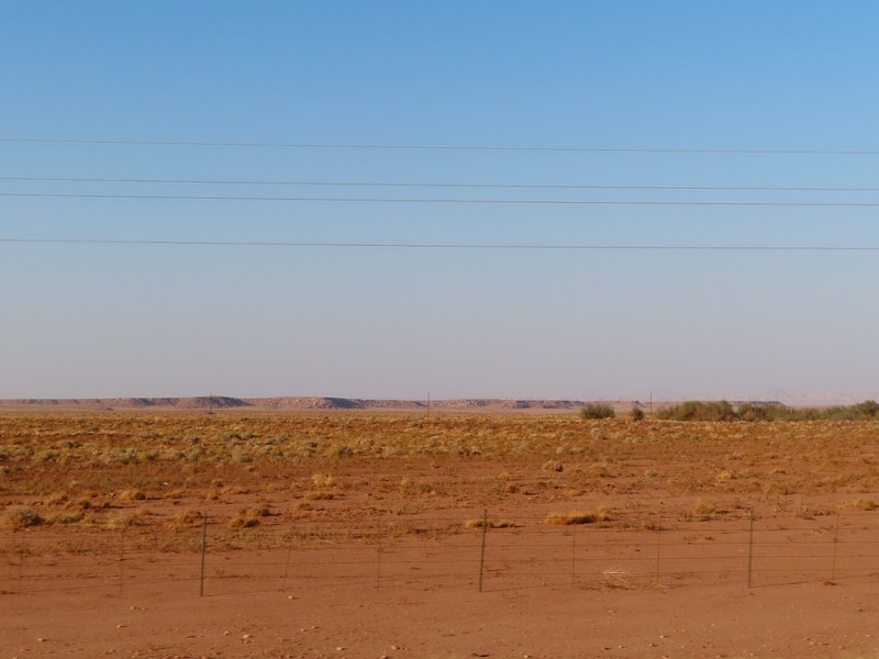
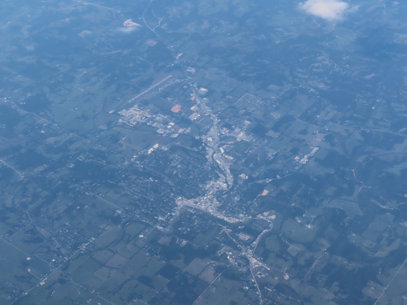
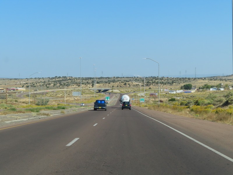
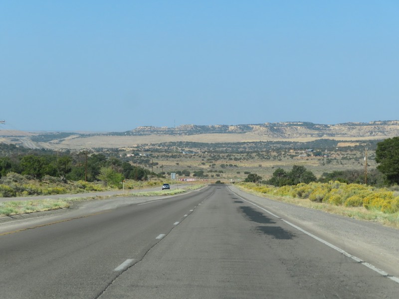
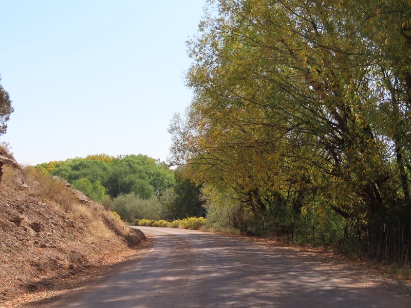
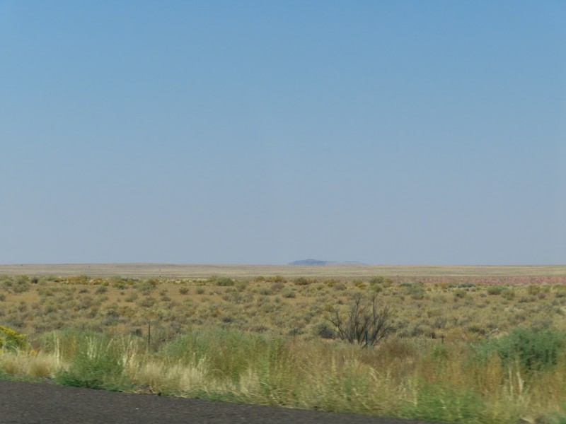
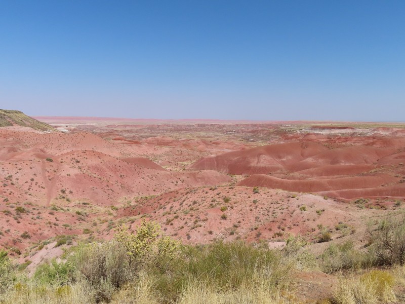
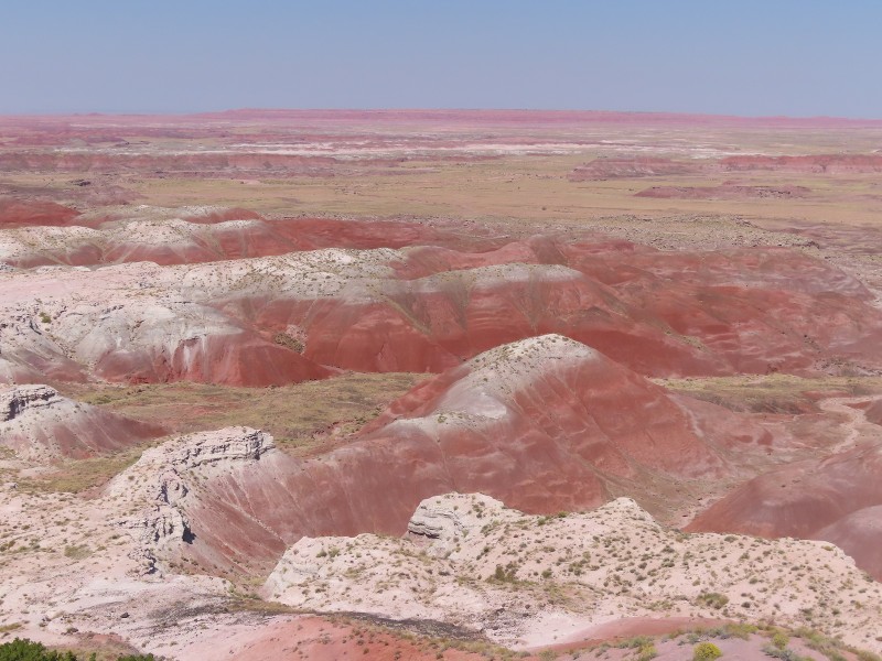
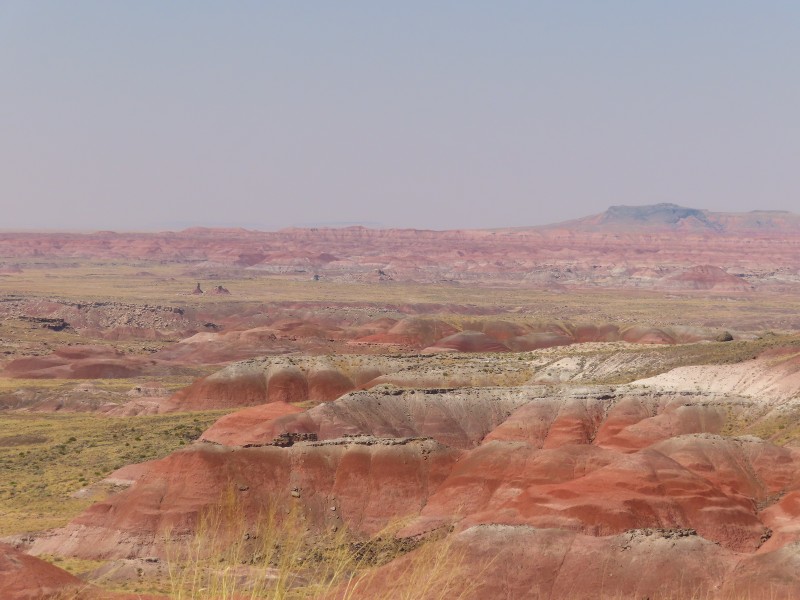
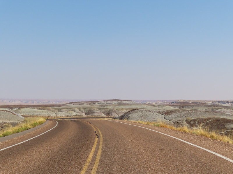
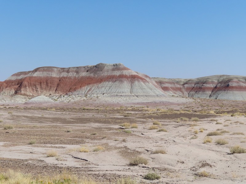
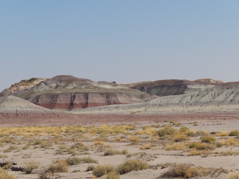
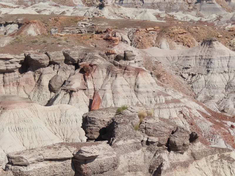
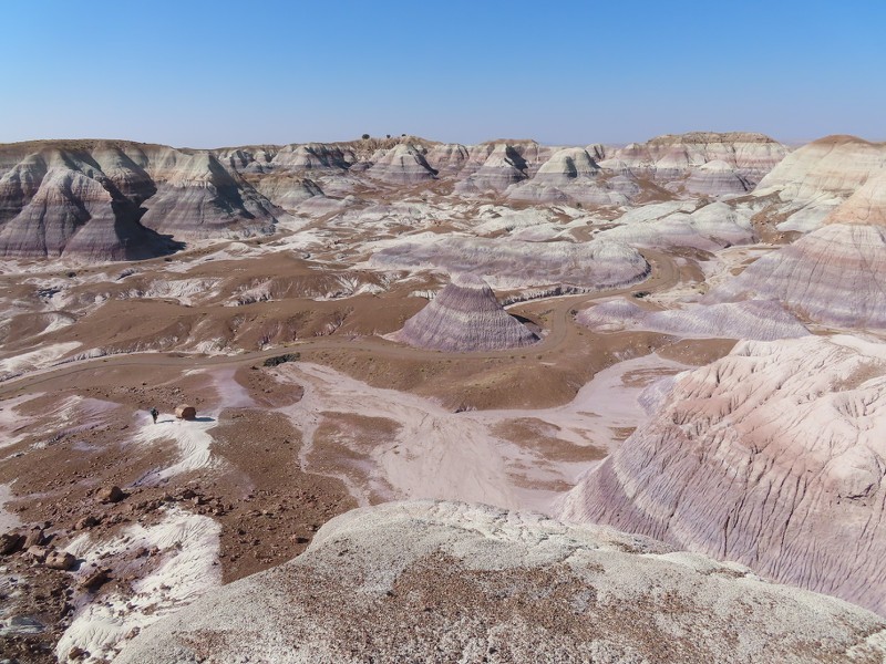
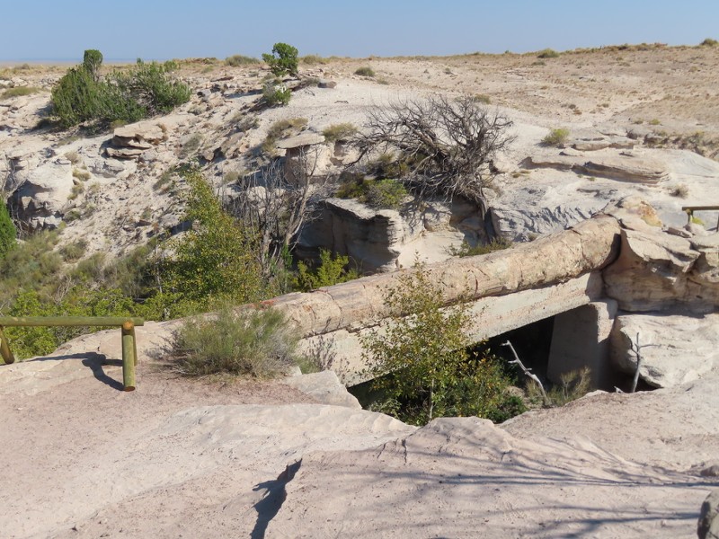
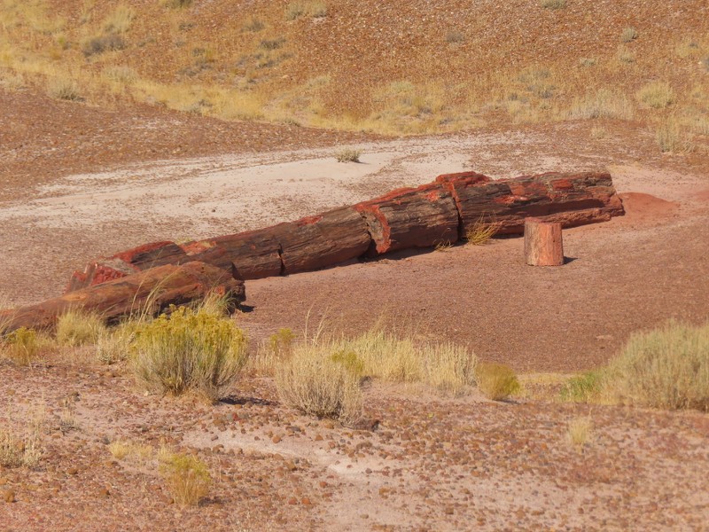
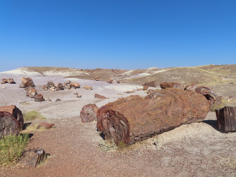
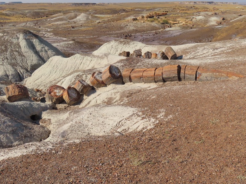
After leaving Petrified Forest National Park, I drove along US Route 180 through the badlands and grasslands to Holbrook.


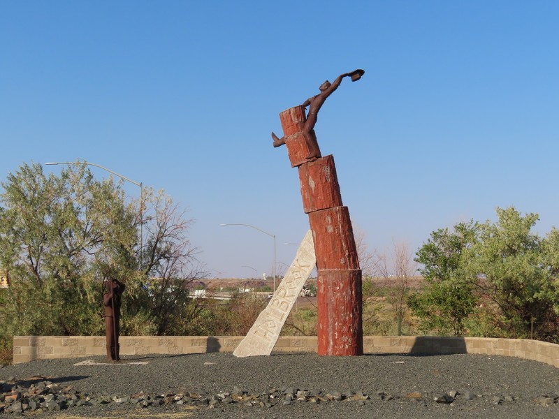
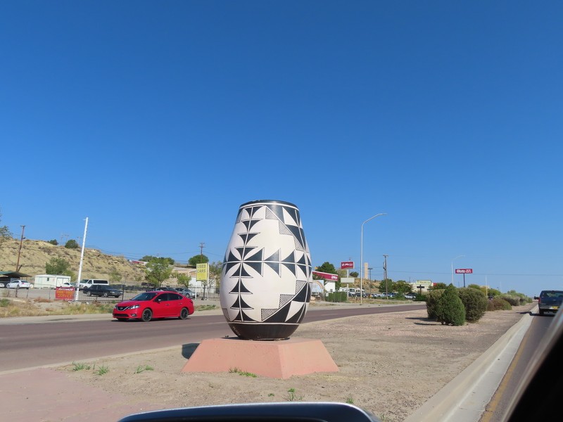
This statue made with petrified wood sits on the edge of Holbrook, where US 180 interests with AZ 77.


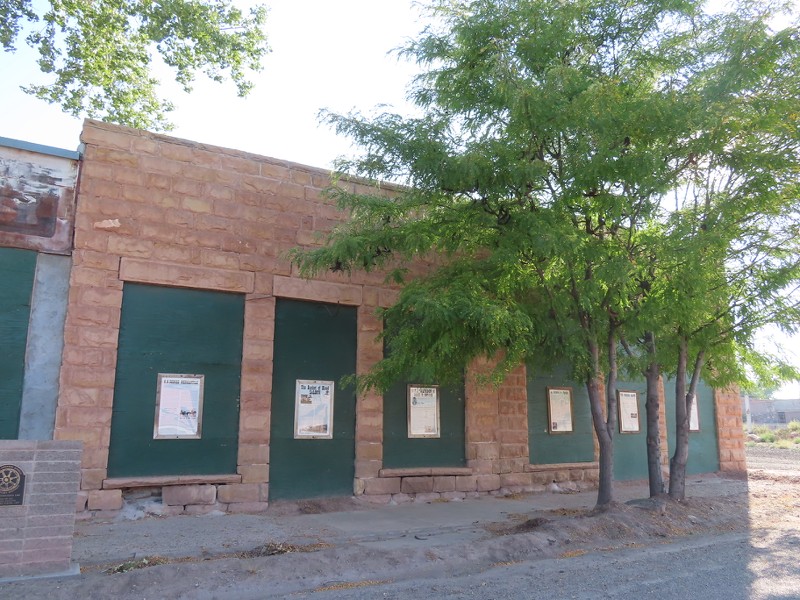
This was Terrill's Cottage Saloon, also known as Buckets of Blood Saloon. The saloon was built in 1886, and numerous gunfights in the saloon led to people saying that the floor looked like buckets of blood had been poured all over. The street in front now bears the name of the saloon, "Bucket of Blood Street".


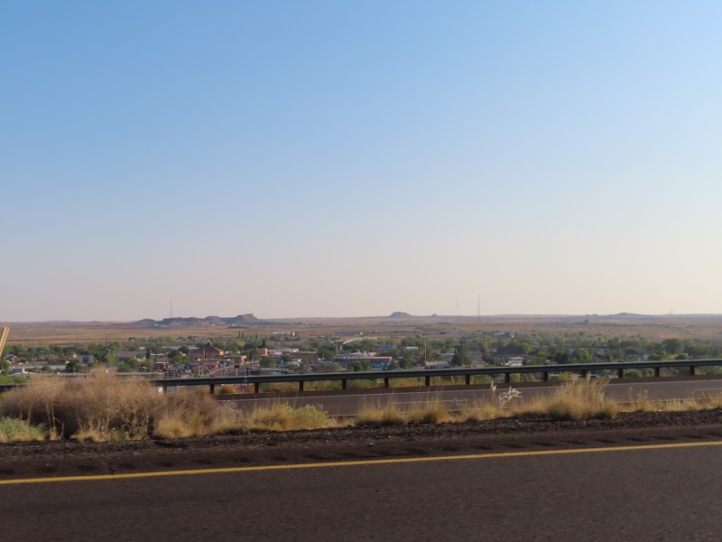
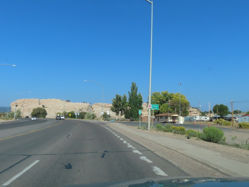
I had been in Holbrook before, in a previous trip, so I didn't stop in town. You can see my photothread of Holbrook here.


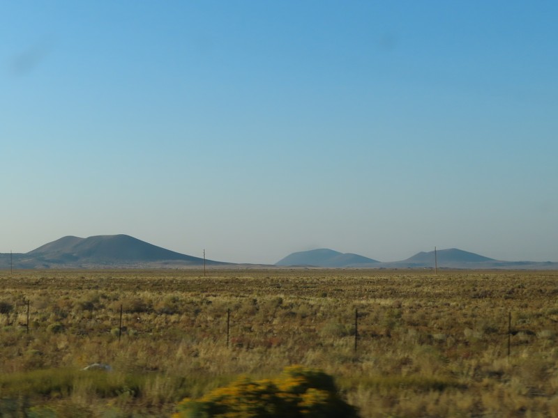
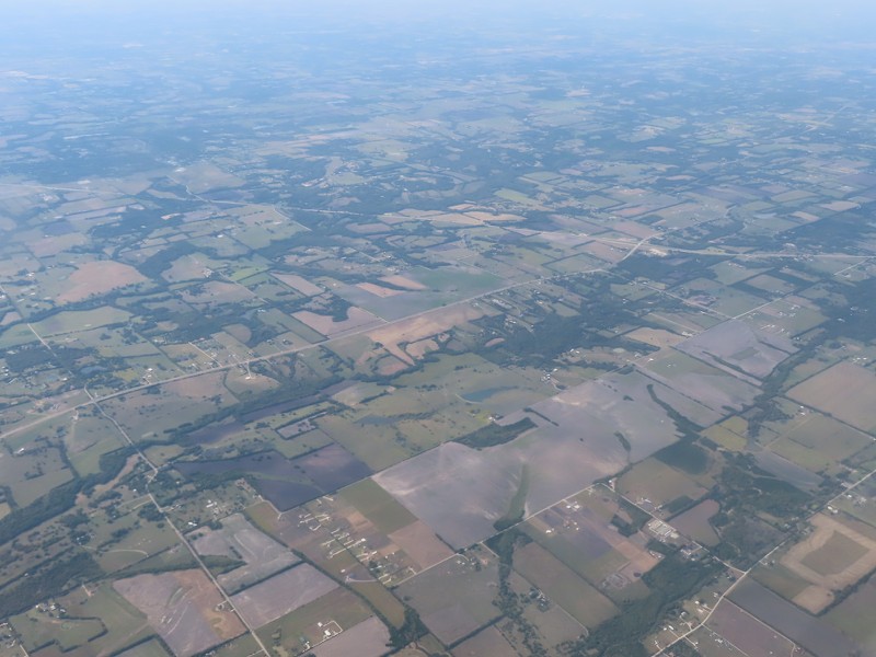
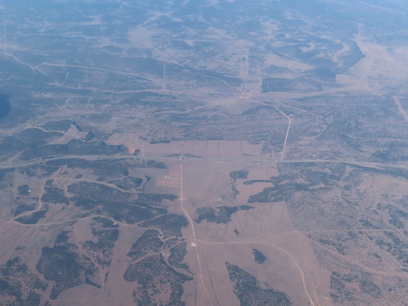
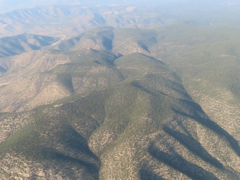
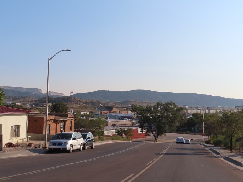
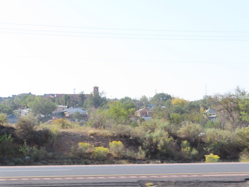
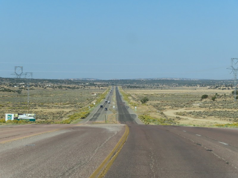
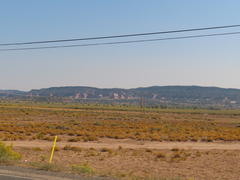
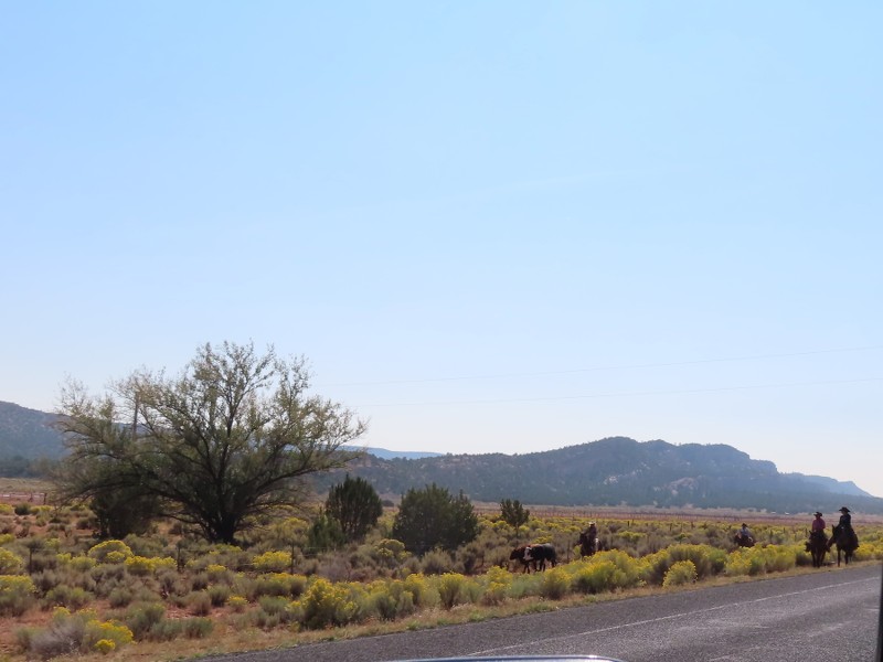
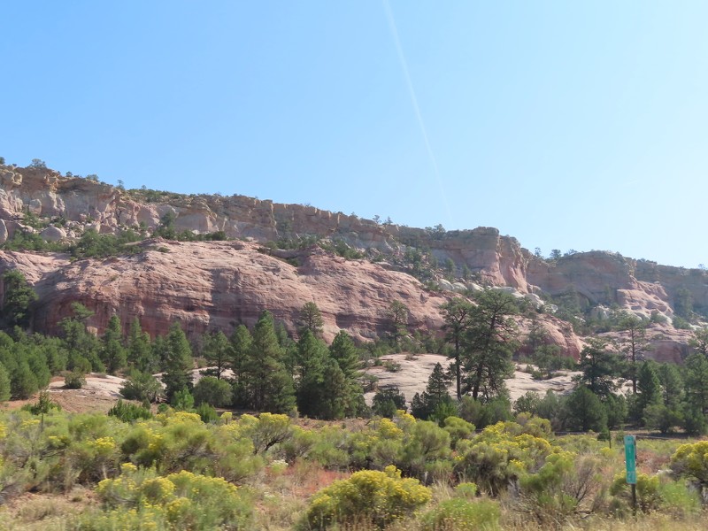
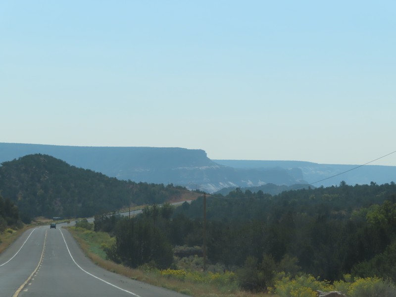
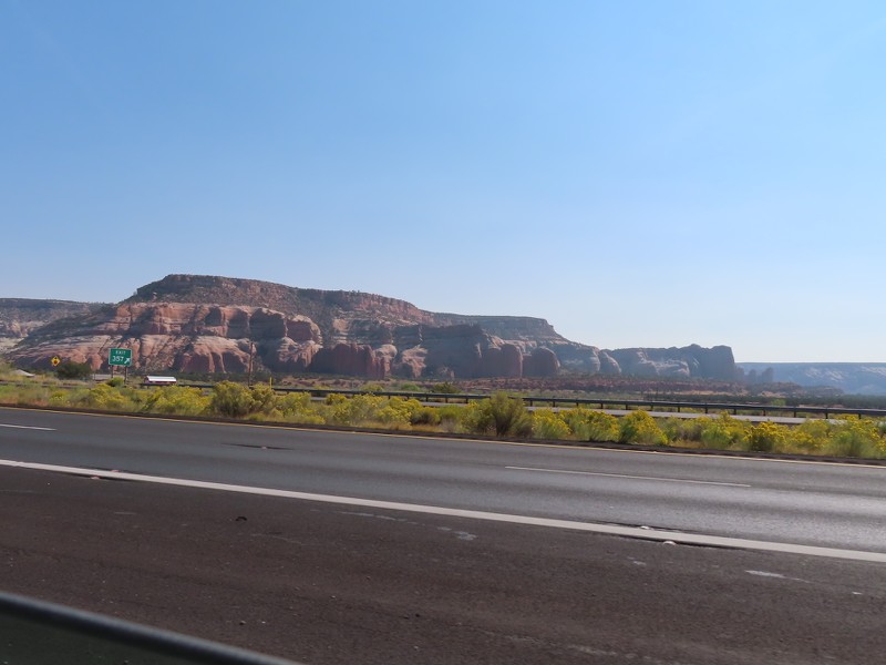
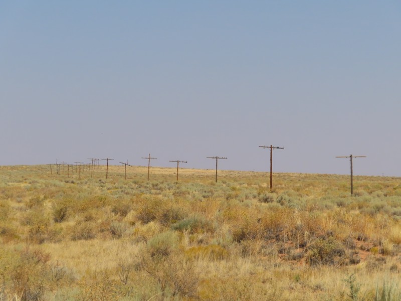
As you gradually went up in elevation, the landscape changed from red and closer to desert, to tan and more of a grassland. Hills and mountains that were visible as far away as Petrified Forest National Park get bigger and closer.


I like how Arizona puts up signs when you hit milestone elevations.


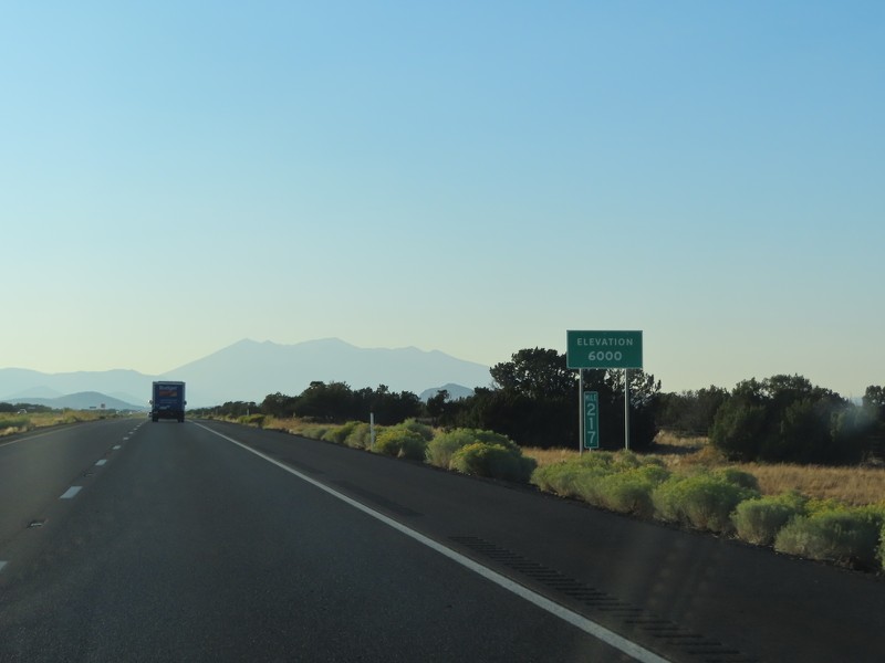
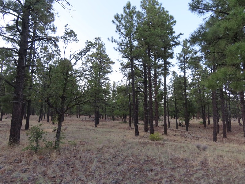
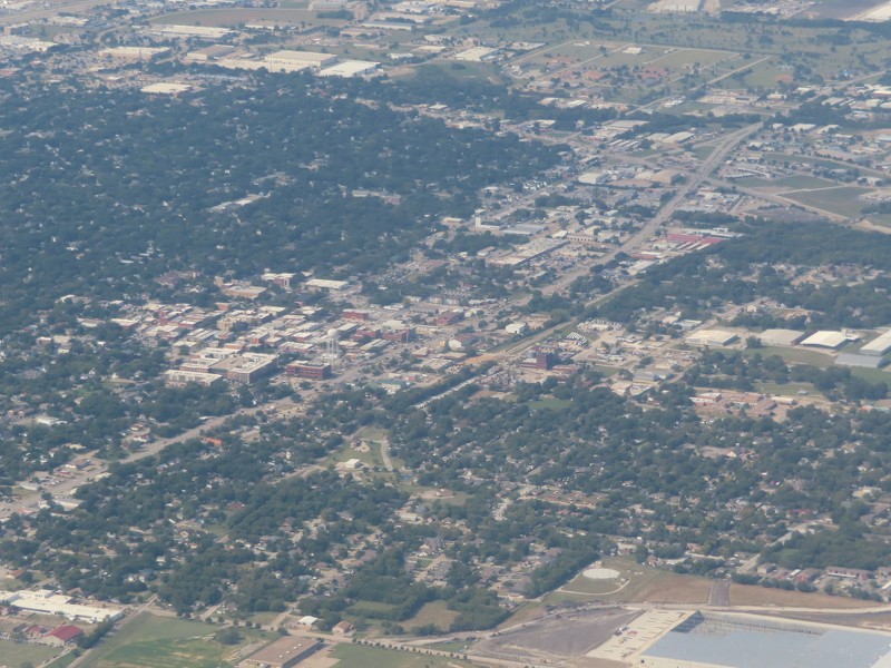
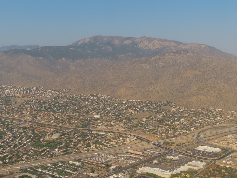
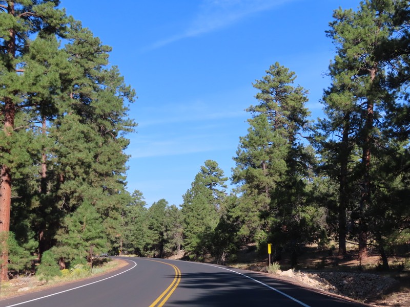
Flagstaff sits at over 7,000 feet, which means it sits in the ponderosa forest at the foot of the San Francisco Peaks.


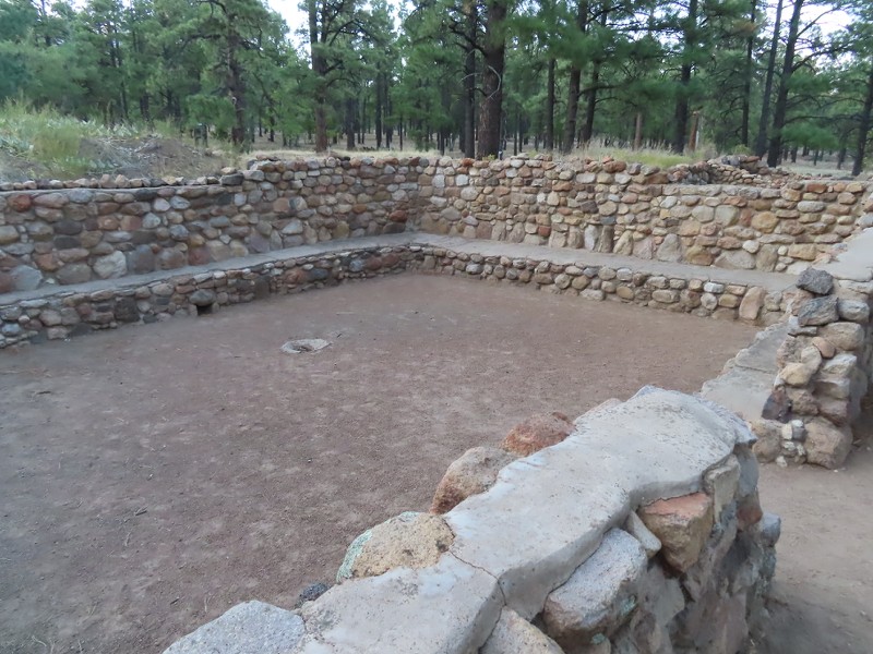
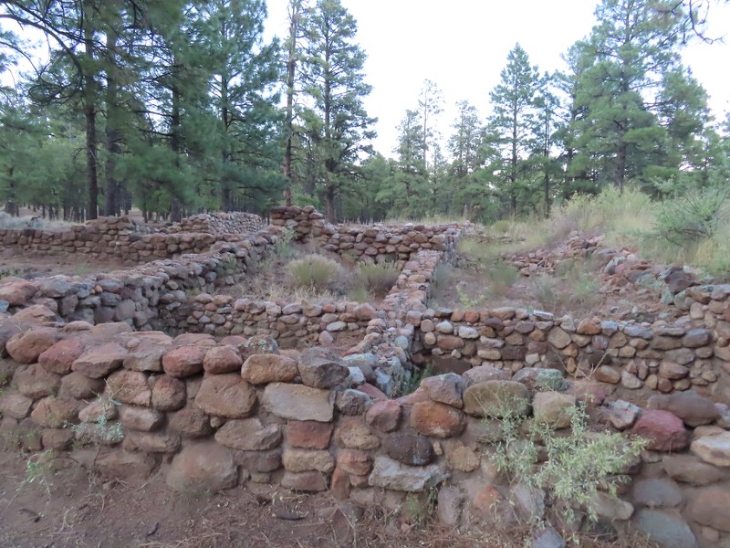
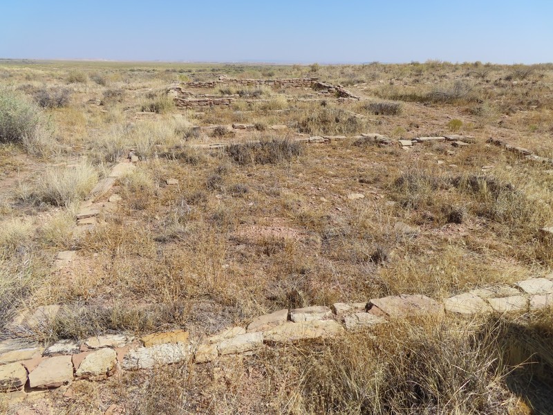
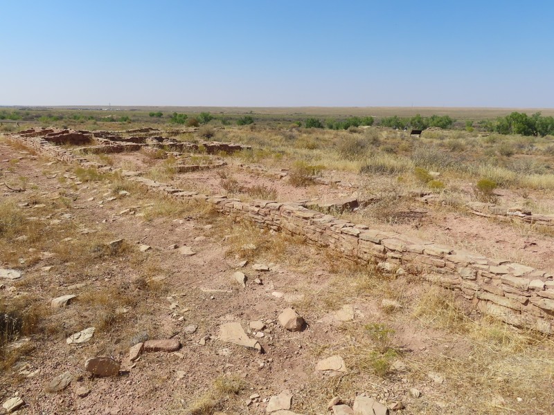
On the east side of town, where US Route 89 intersects with Townsend-Winona Road (the original Route 66 alignment), is the Elden Pueblo. The pueblo was built by the Sinagua people, and was inhabited from around 1070 to 1275.


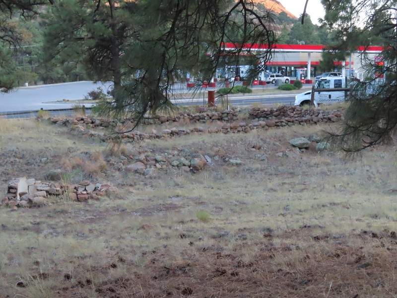
You can go in some of the old rooms of the old pueblo, which makes it a little bit easier to get a sense of life in the pueblo.


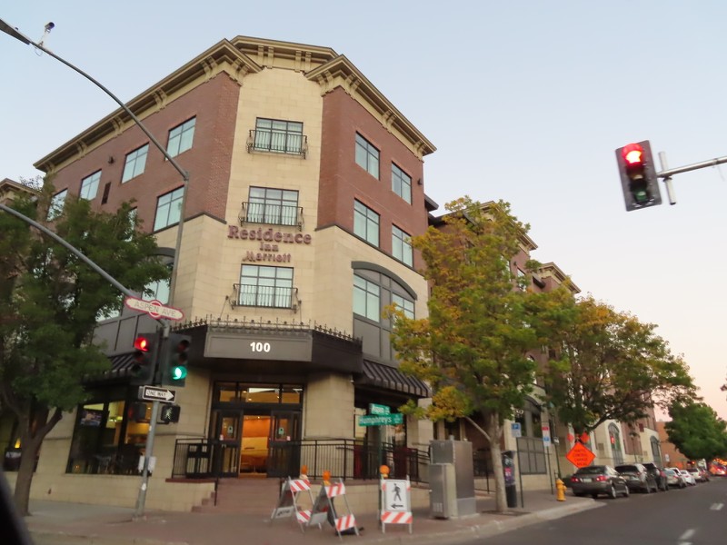
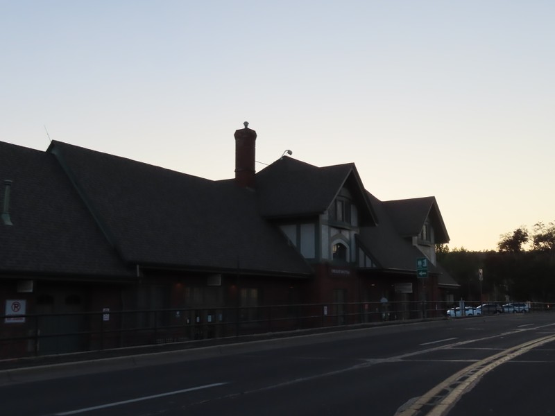
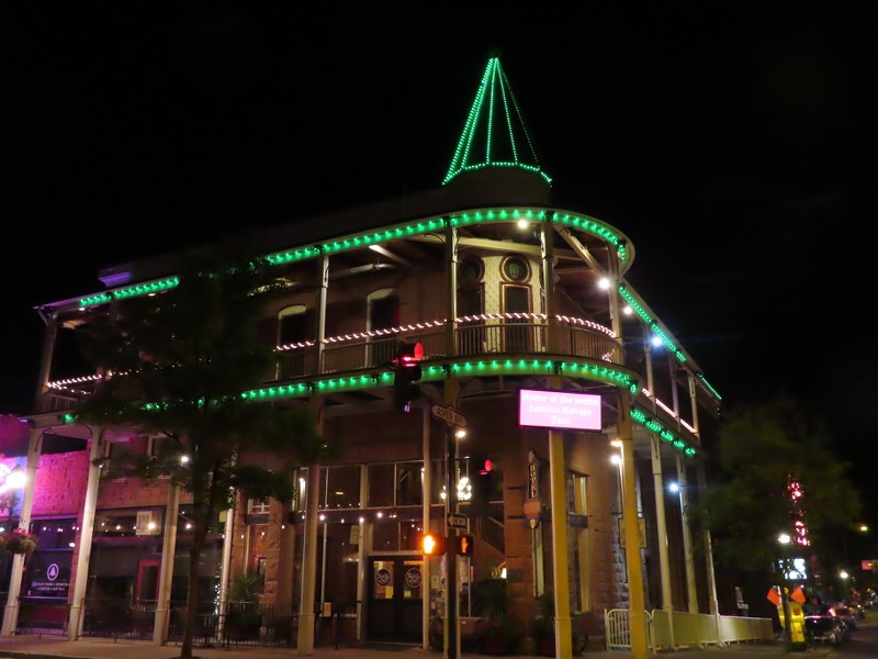
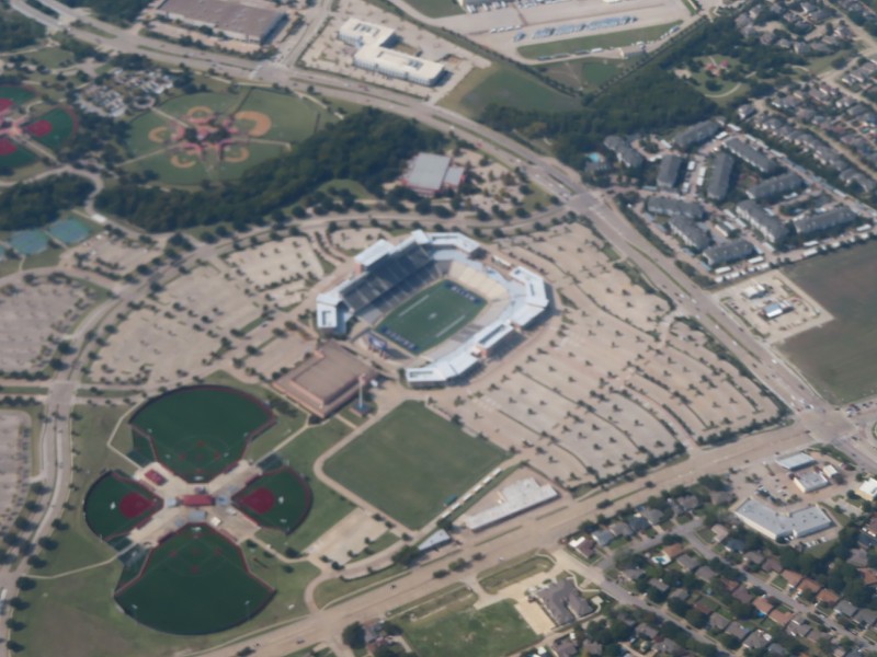
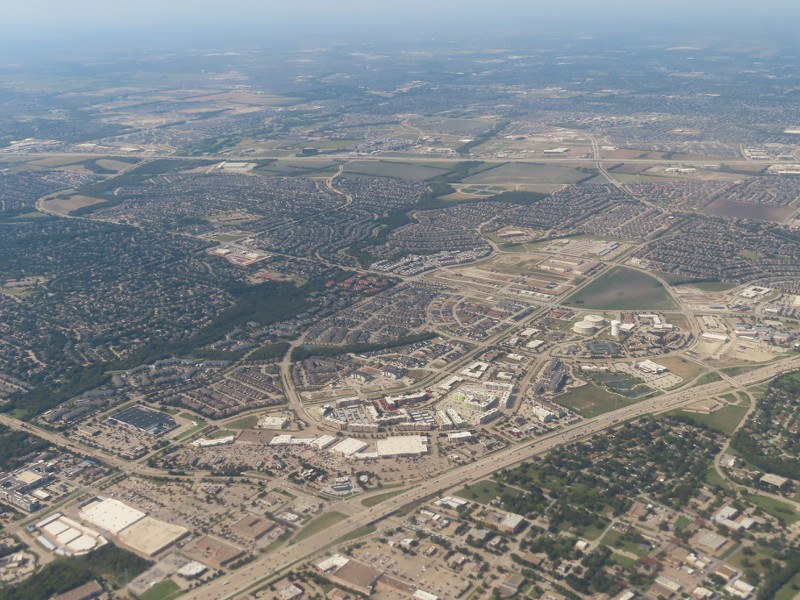
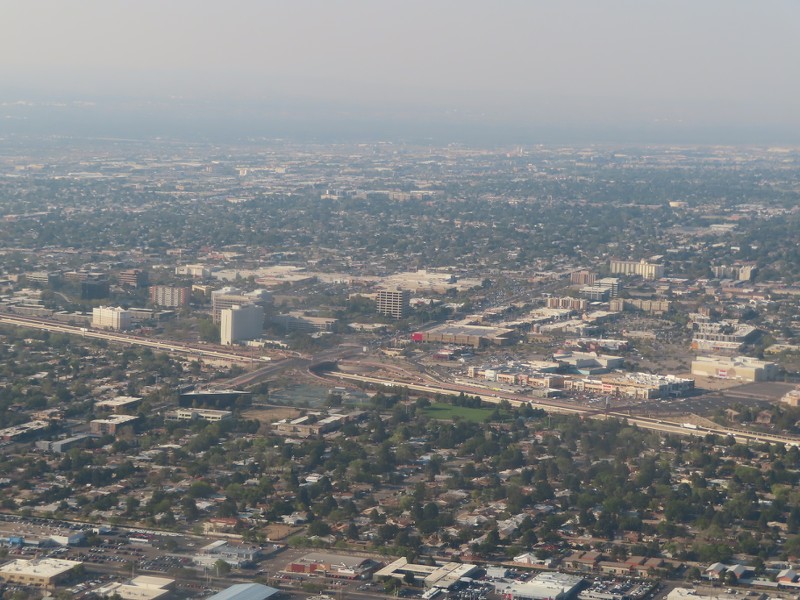
I drove around for a little bit and took some pictures of the new construction. When I was first in Flagstaff in 2014, it was a little run down in some places, but had pontential as a college town with a ton of students from the Phoenix area. That potential was being realized when I was there in 2020, with an explosion of construction and reinvestment in many neighborhoods. There was some construction going on in Downtown, which is north of the train station, but by far the most construction was in the Southside, which is the neighborhood south of the train station and north of Northern Arizona University. The Southside is a hip, young neighborhood!


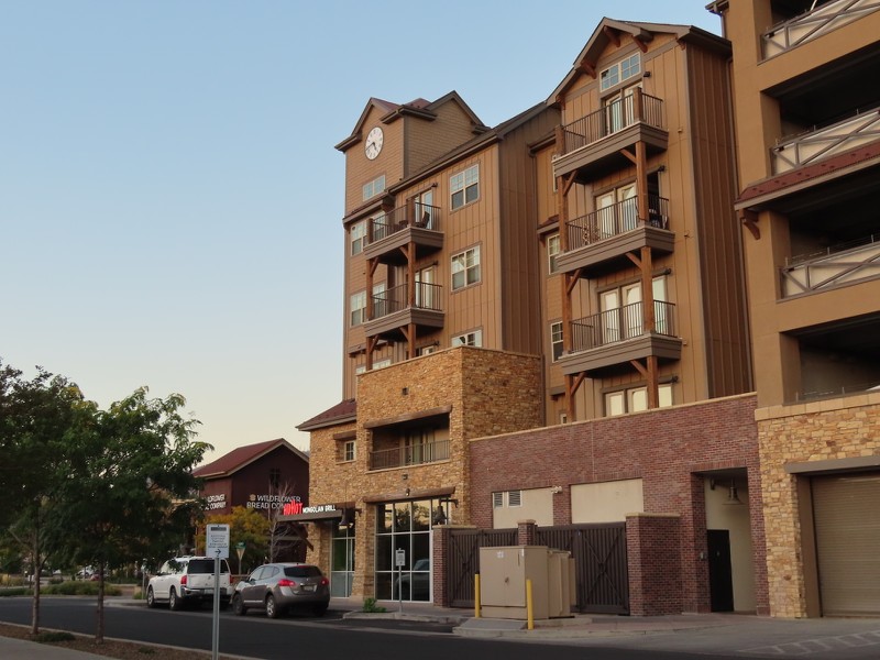
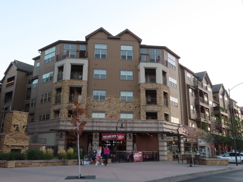
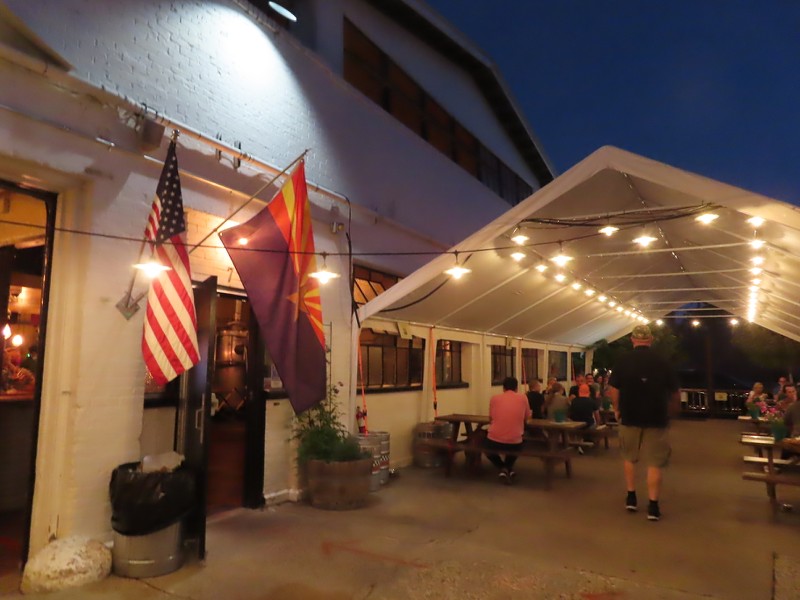
I stopped in at Mother Road Brewing Company, housed in an old laundry building in the Southside neighborhood, and on the Route 66 alignment. There's a lot of Route 66 buildings in the Southside, which adds a nice historic element to the area.


I then walked around Downtown a little bit. I did a phototour of both Downtown and the Southside, which you can view here. I also did a phototour of Route 66 east of Downtown, and will have that link in another post.


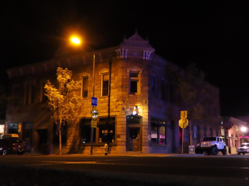
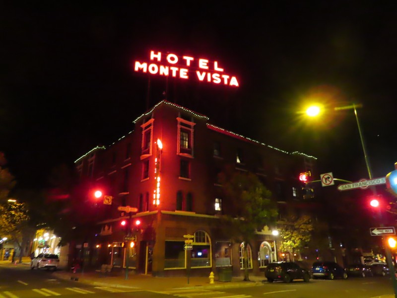
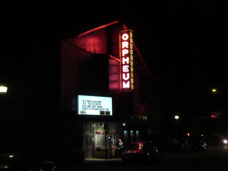
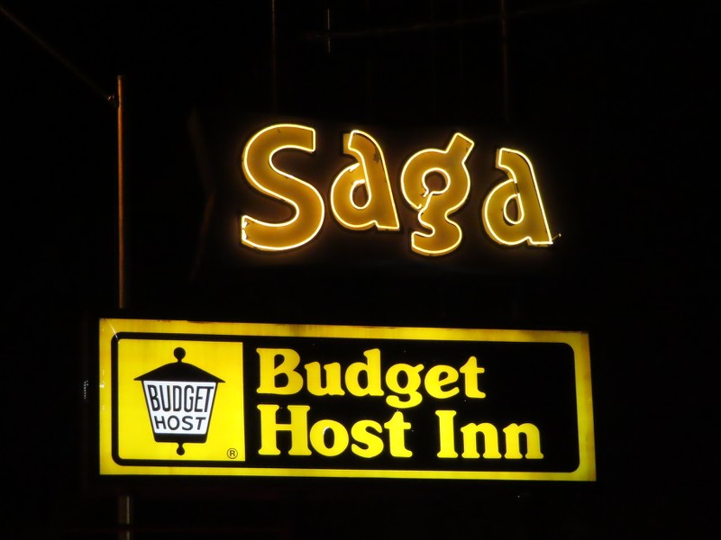
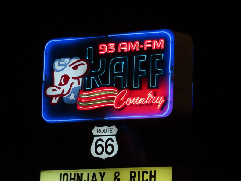
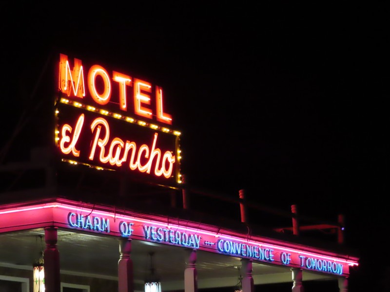
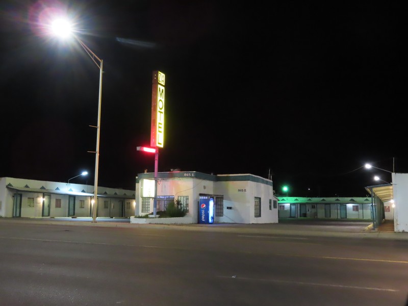
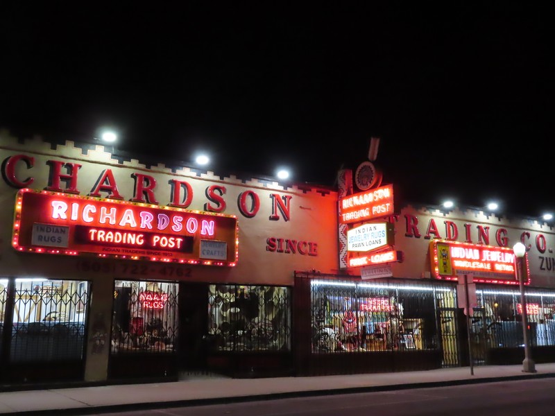
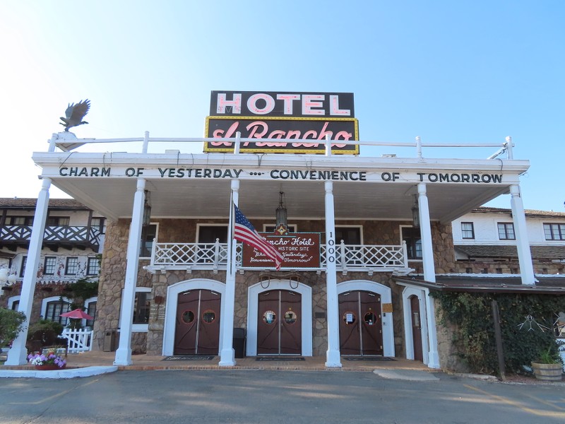
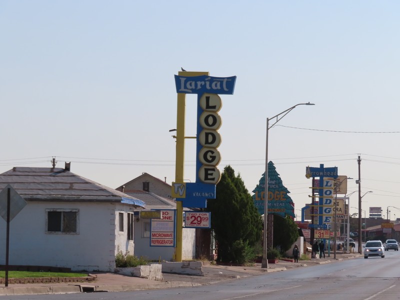
West of Downtown, there are a few examples of Route 66 neon signs. East Route 66 has more, but this is a taste of a layer of Flagstaff's history.


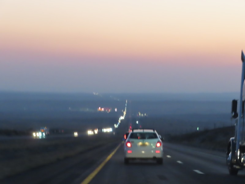
After Flagstaff, it was a drive at night to my hotel in Tusayan, just outside of Grand Canyon National Park.


Up next, the next morning in Tusayan and Grand Canyon National Park!
Reply With Quote
     
     
  #18  
Old Posted Nov 4, 2021, 4:26 AM
xzmattzx's Avatar
xzmattzx xzmattzx is offline
Registered User
 
Join Date: May 2006
Location: Wilmington, DE
Posts: 6,361
We begin the next day in Tusayan, a little community just outside Grand Canyon National Park. Naturally, Tusayan serves tourists and tourists only. There are no locals here, really. I did a phototour of Tusayan, capturing this little tourist town, which you can see here.


This was the view of the ponderosa forest from my hotel room!


A quick look at the tourist trade in Tusayan. My full thread is linked above.


The ponderosa forest


The Grand Canyon


Being the pandemic, and a weekday, and October, the park was not crowded at all. Right in the heart of Grand Canyon Village, I had everything to myself when I arrived!


Before we explore the stunning and breathtaking scenery of the Grand Canyon, let's see some of the interesting architecture of Grand Canyon Village. Grand Canyon Village is a great place to see the Rustic style of architecture, particularly National Park Service Rustic architecture. This is the El Tovar hotel, built in 1905 by the Fred Harvey Company.


This inscription is on the side of the hotel, on the side porch overlooking the canyon.


This is the Hopi House, designed by Mary Jane Colter in 1905. It was modeled after the pueblo of Old Oraibi, Arizona.


The Bright Angel Lodge is another building by Mary Jane Colter. It was built in 1935, and like other buildings, draws on details from local Native American tribes.


The fireplace in Bright Angel Lodge was designed by Colter to be a microcosm of the layers of rock in the canyon, from the rim at the top to the river at the bottom.


The Bright Angel Lodge also contains individual cabins that were used for lodging.


Overlooking the canyon is Lookout Studio, designed by Mary Jane Colter once again and built by the Fred Harvey Company. The structure was built in 1914.


If you would like to see a comprehensive tour of Grand Canyon Village, I covered it very extensively here.
Reply With Quote
     
     
  #19  
Old Posted Nov 4, 2021, 12:09 PM
MplsTodd MplsTodd is offline
Registered User
 
Join Date: May 2005
Location: Columbus & Mpls
Posts: 765
Enjoying your tour—Special thanks for the historical comments in your captions!
__________________
Every City has something worth seeing!
Reply With Quote
     
     
  #20  
Old Posted Nov 4, 2021, 2:15 PM
sopas ej's Avatar
sopas ej sopas ej is offline
Registered User
 
Join Date: Jul 2007
Location: South Pasadena, California
Posts: 6,862
I am enjoying your tour as well!
__________________
"I guess the only time people think about injustice is when it happens to them."

~ Charles Bukowski
Reply With Quote
     
     
This discussion thread continues

Use the page links to the lower-right to go to the next page for additional posts
 
 
Reply

Go Back   SkyscraperPage Forum > Photography Forums > My City Photos
Forum Jump


Forum Jump


All times are GMT. The time now is 11:37 AM.

     
SkyscraperPage.com - Archive - Privacy Statement - Top

Powered by vBulletin® Version 3.8.7
Copyright ©2000 - 2024, vBulletin Solutions, Inc.