HomeDiagramsDatabaseMapsForum About
     

Go Back   SkyscraperPage Forum > Global Projects & Construction > General Development


Reply

 
Thread Tools Display Modes
     
     
  #1381  
Old Posted Mar 31, 2013, 5:10 AM
timbad timbad is offline
heavy user of walkability
 
Join Date: May 2008
Location: Mission Bay, San Francisco
Posts: 3,150
thanks minicute and WC for the news! I will see if I can get over to the traffic circle Tuesday for some pics on opening day.

besides general progress on all known fronts around the 'hood, I noticed heightened activity along Channel the past few days, with work having started again on 13W after a pause (mini-pile-driver in action), and there was some grading going on on 12E:

Reply With Quote
     
     
  #1382  
Old Posted Mar 31, 2013, 4:53 PM
simms3_redux's Avatar
simms3_redux simms3_redux is offline
She needs her space
 
Join Date: Sep 2005
Location: San Francisco
Posts: 2,454
I am about to bike through as I do frequently...meant to take pics last weekend. Mission Bay has so so so much construction going on right now.
Reply With Quote
     
     
  #1383  
Old Posted Apr 2, 2013, 6:51 AM
timbad timbad is offline
heavy user of walkability
 
Join Date: May 2008
Location: Mission Bay, San Francisco
Posts: 3,150
pre-opening, counting down

Quote:
Originally Posted by minicute View Post
"Dear Mission Bay Stakeholders,

We are happy to announce that the Mission Bay Drive and Circle (P10) will be open for public access on April 2nd, 2013 starting at 6:00am. ... At the time of the opening a median will be extended on Mission Bay Drive to block prior access to Berry Street from the north west and south east directions. Vehicles coming off of 7th Street will no longer be permitted to make an immediate left turn at Berry Street, ...
was over there yesterday and did not see any evidence of the extended median yet, which, if I understand correctly, would fill the space about where the more distant of the two painted arrows on the asphalt is - the idea being to block the route designated by those arrows (here looking south):


but I am really hoping yesterday was the last day I will have had to take the winding temporary path that has existed for the past few years (looking east):


farther along, still east:

Reply With Quote
     
     
  #1384  
Old Posted Apr 2, 2013, 7:33 AM
timbad timbad is offline
heavy user of walkability
 
Join Date: May 2008
Location: Mission Bay, San Francisco
Posts: 3,150
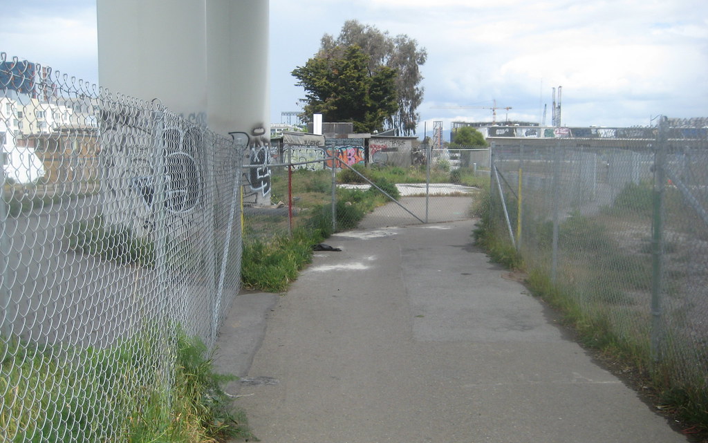
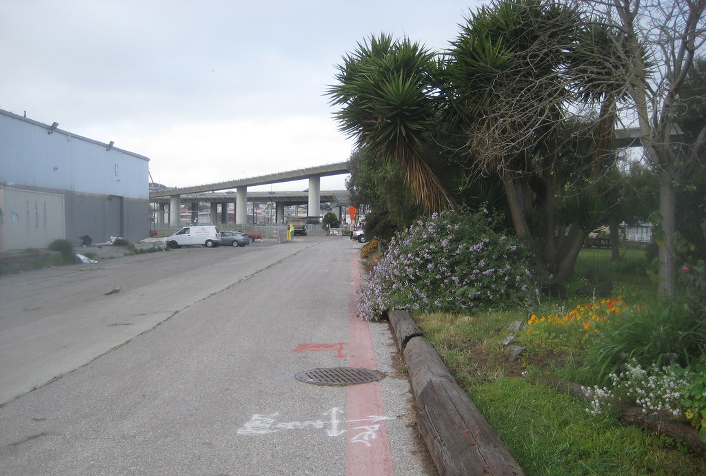
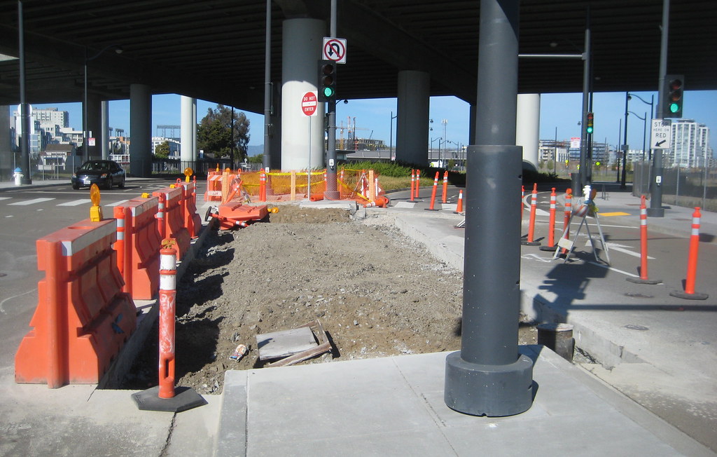
also yesterday was able to use my cat-like stealth to infiltrate No-Man's-Land through a 20-foot crack in a fence. which on second thought might have been a gate left open for trucks to drive through.

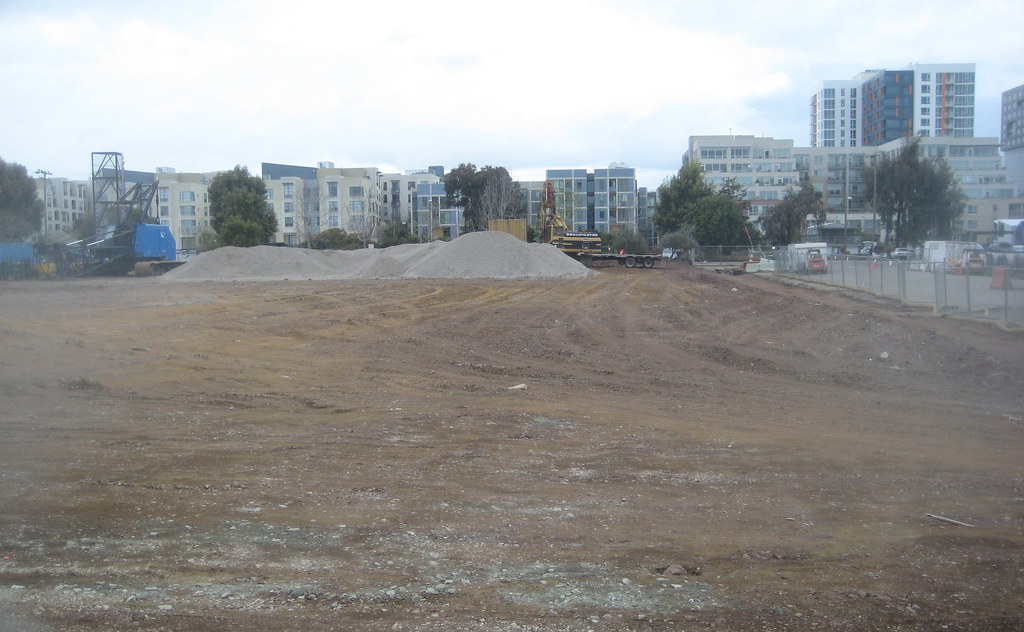
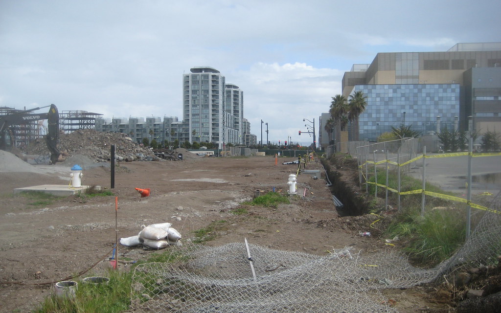
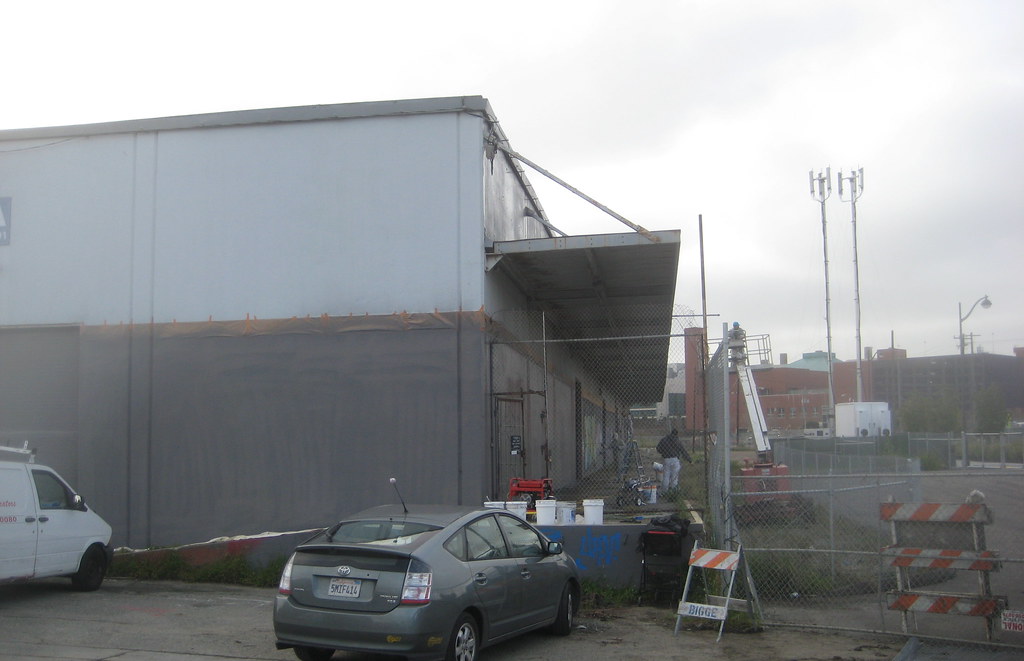
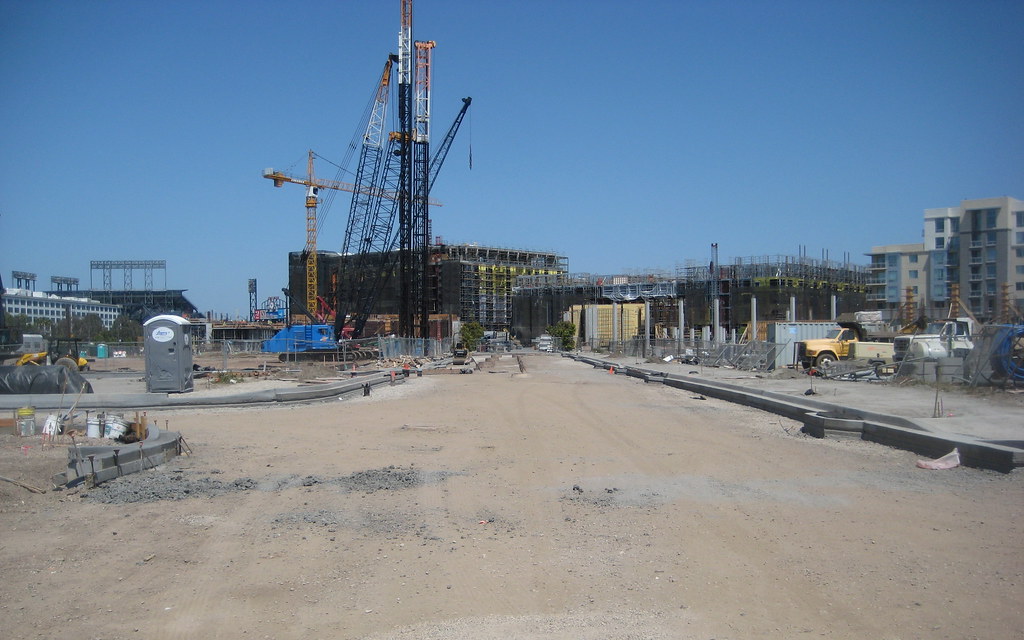
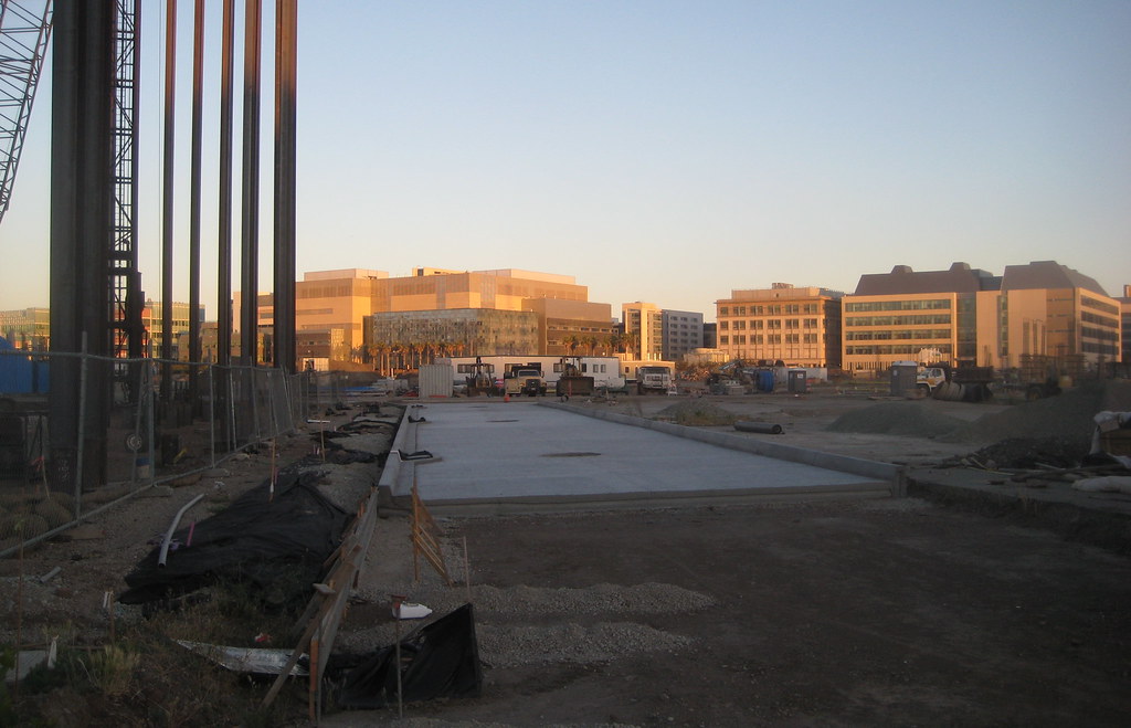
in any case, was able to get some behind-the-scenes 'insider' shots of what's going on over there. first is what the site of the former Visitor Center looks like from the 'back' - that is, looking north:


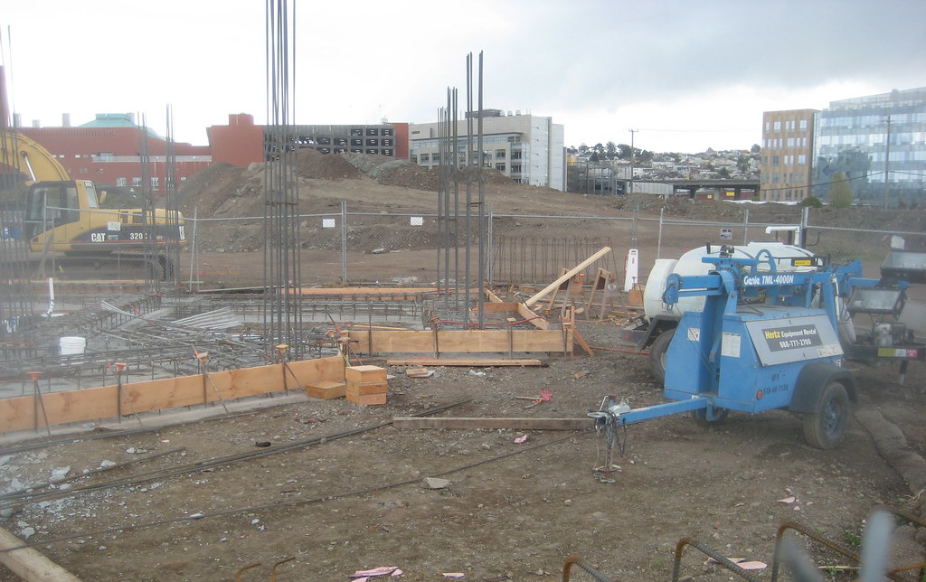
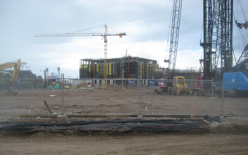
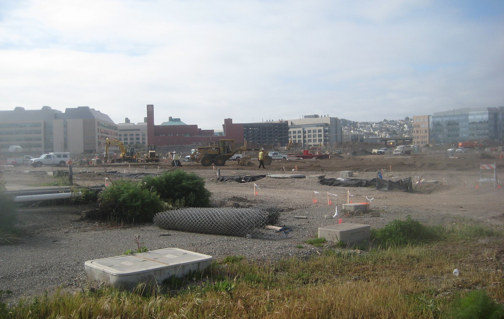
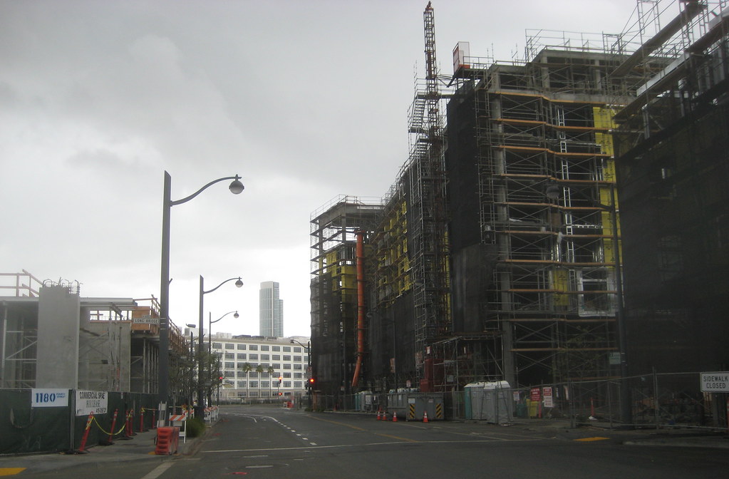
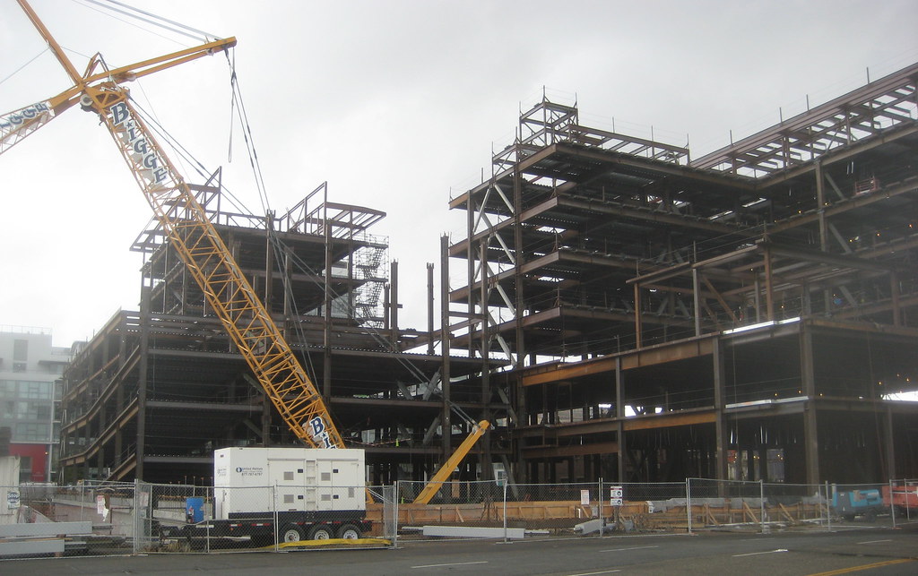
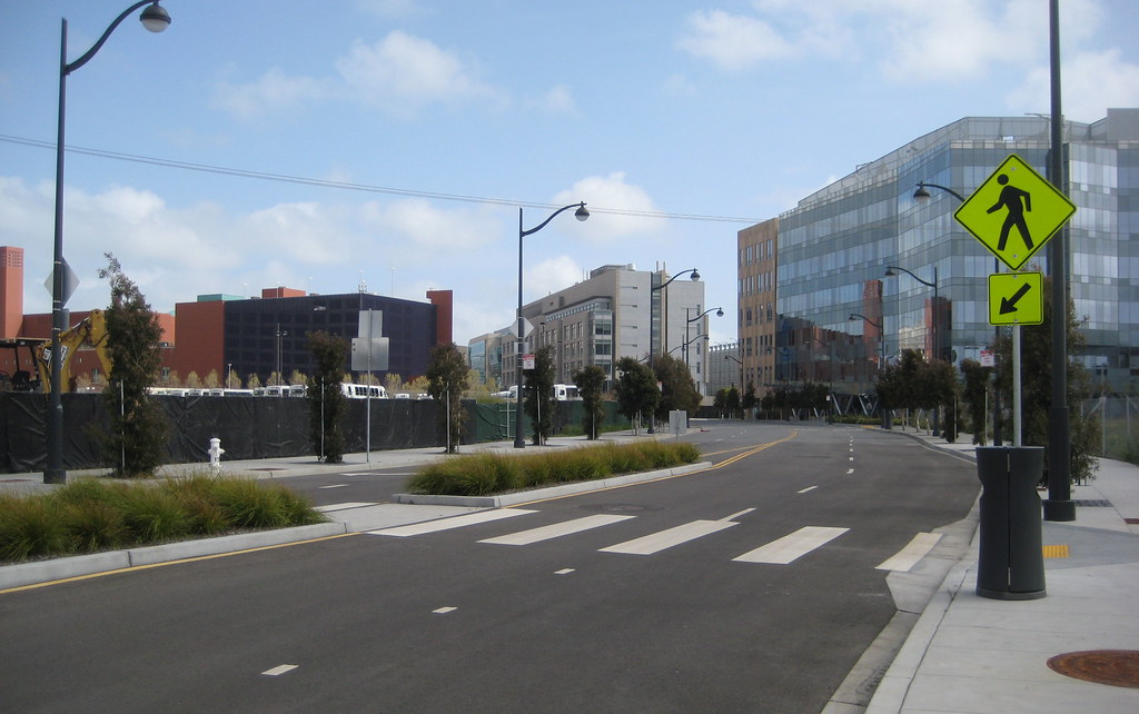
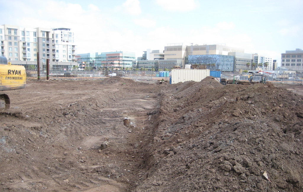
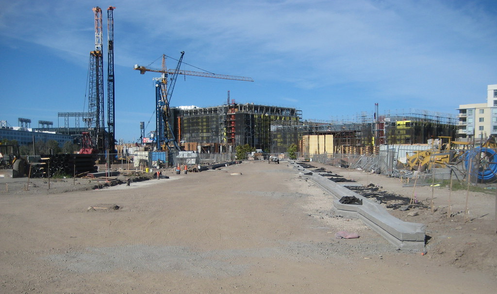
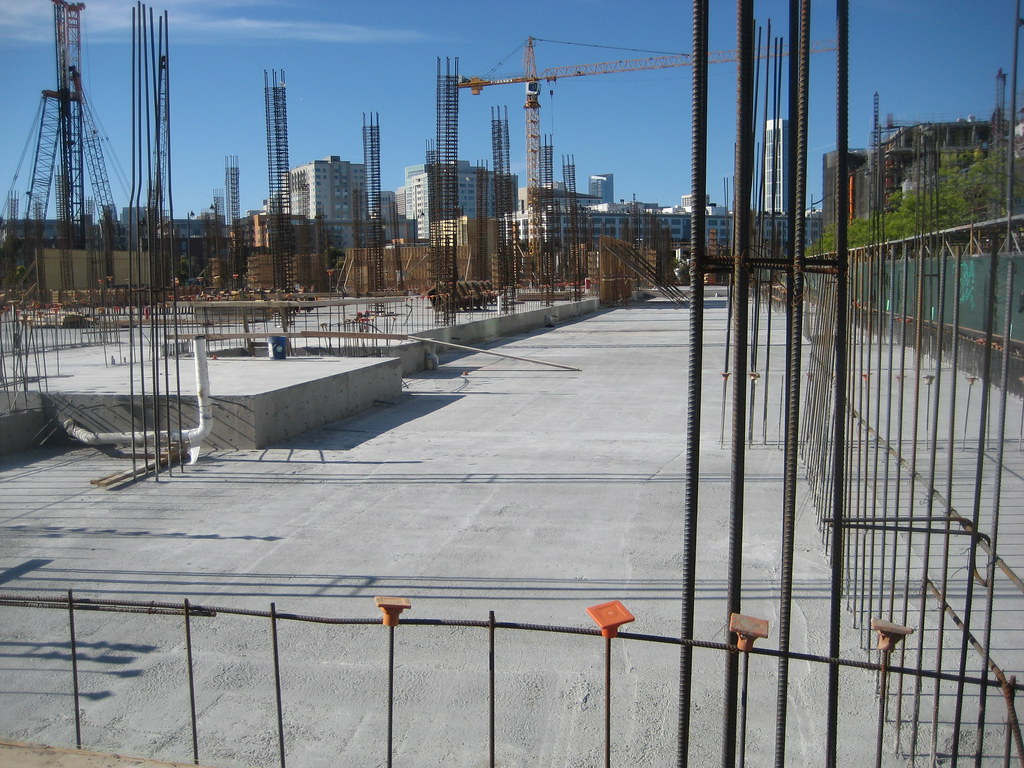
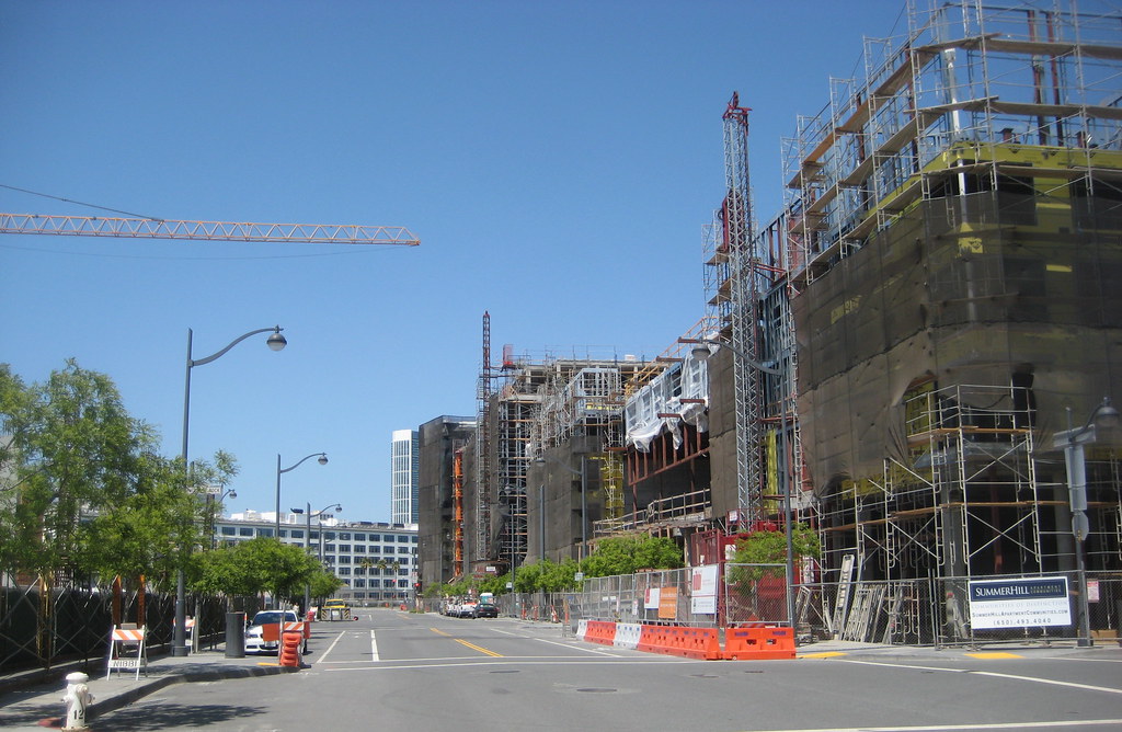
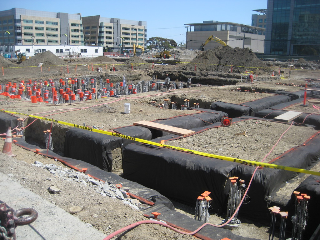
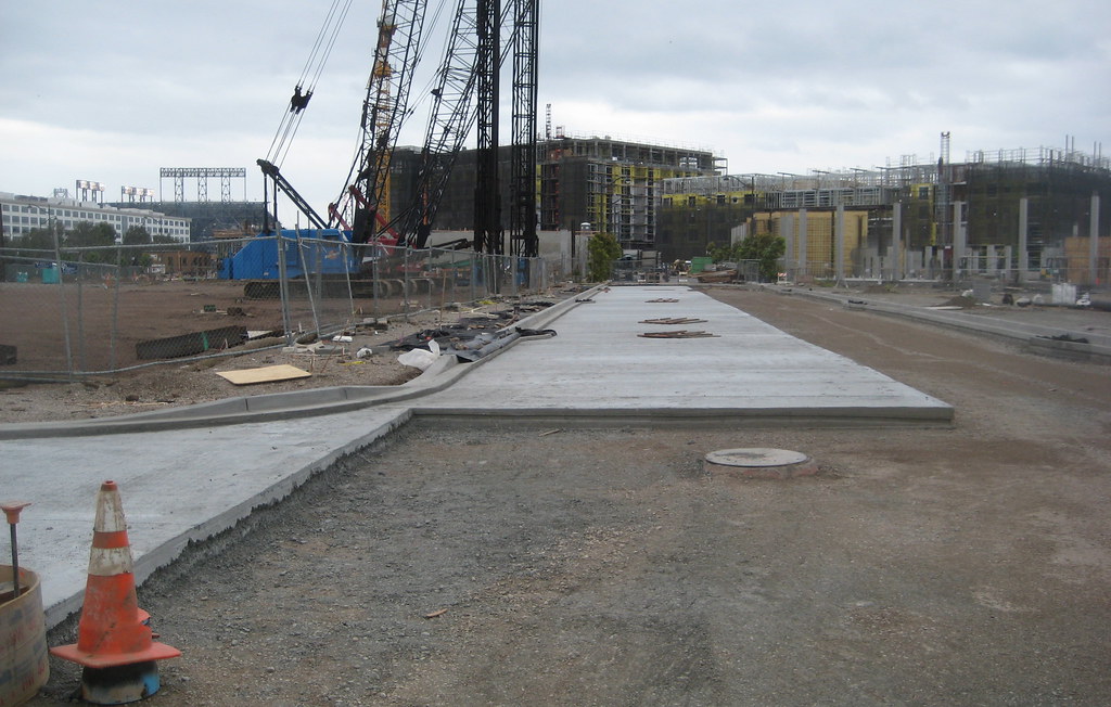
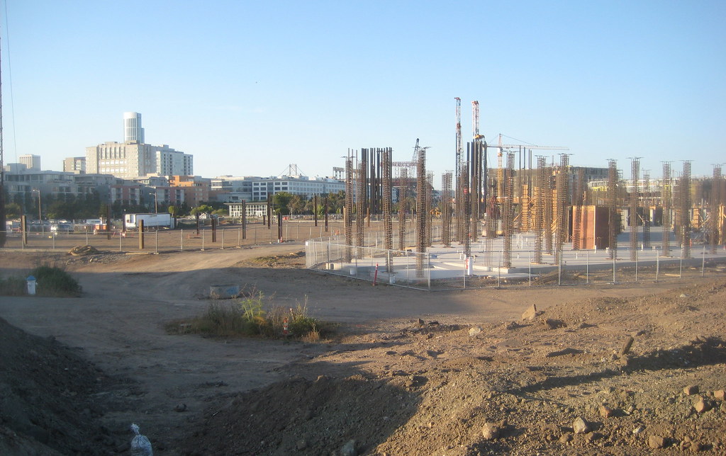
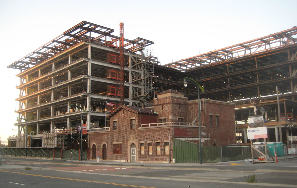
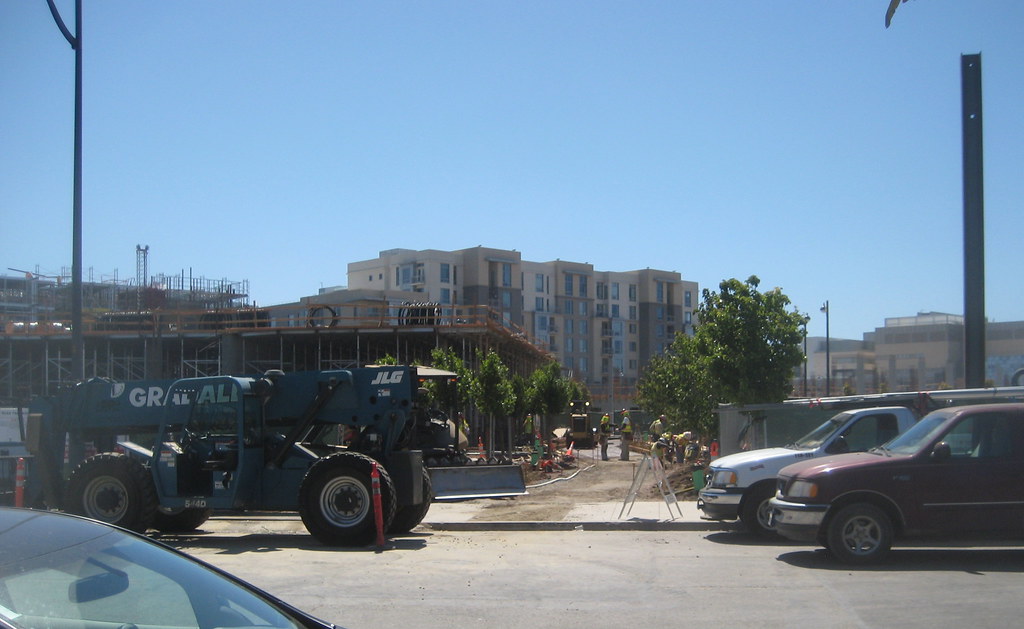
this is the southwestern-most protrusion of block 11 (looking south). what you can see here is pretty much the state of progress of the whole block:


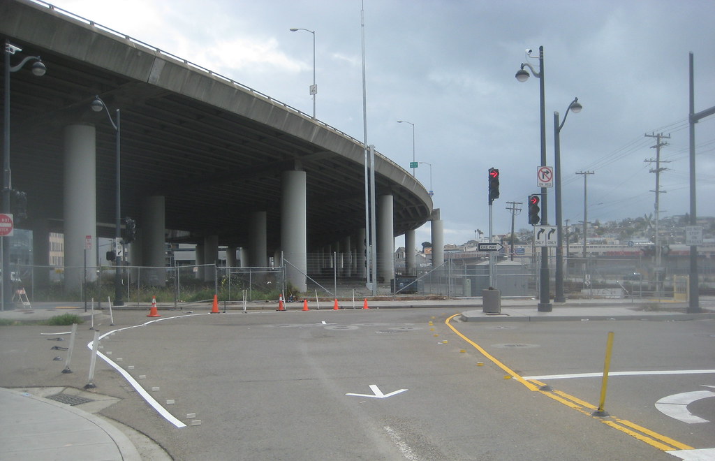
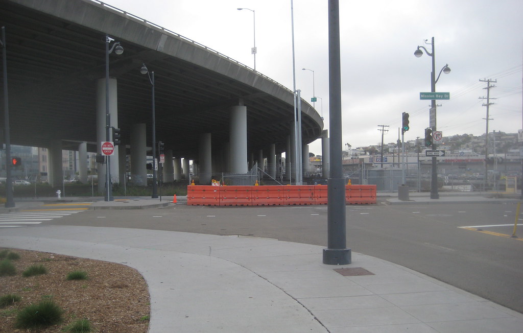
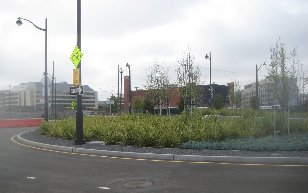
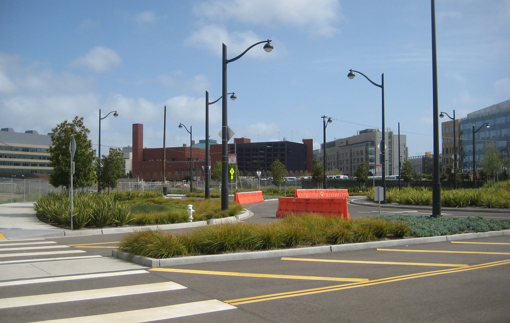
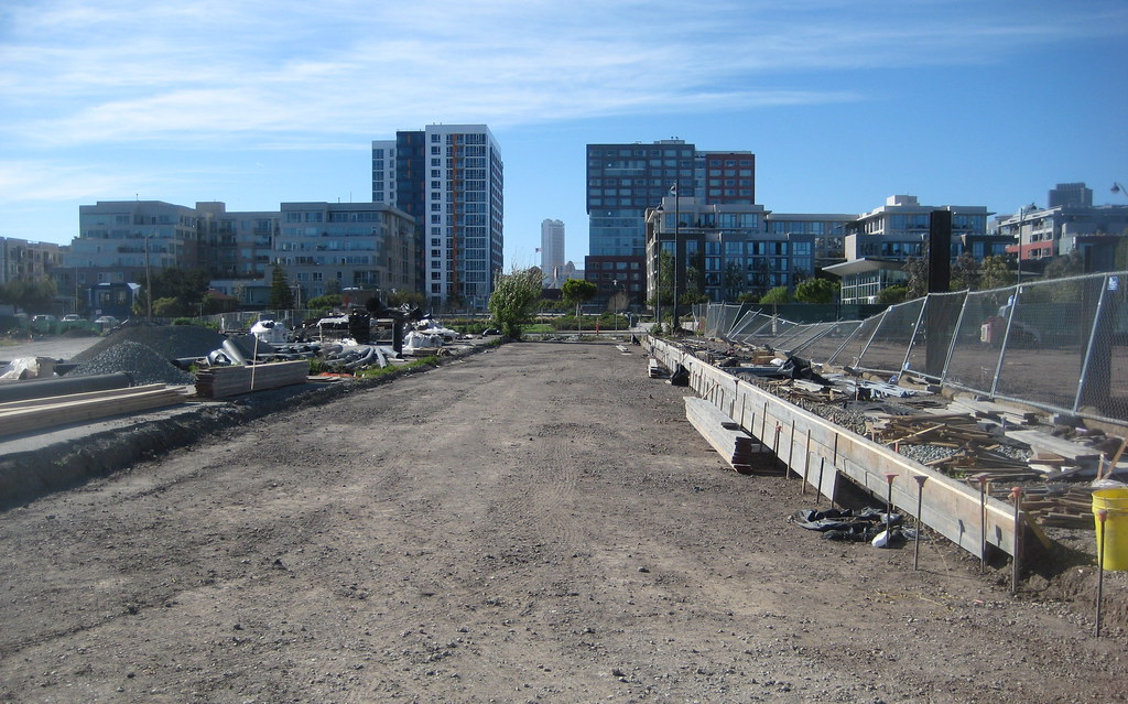
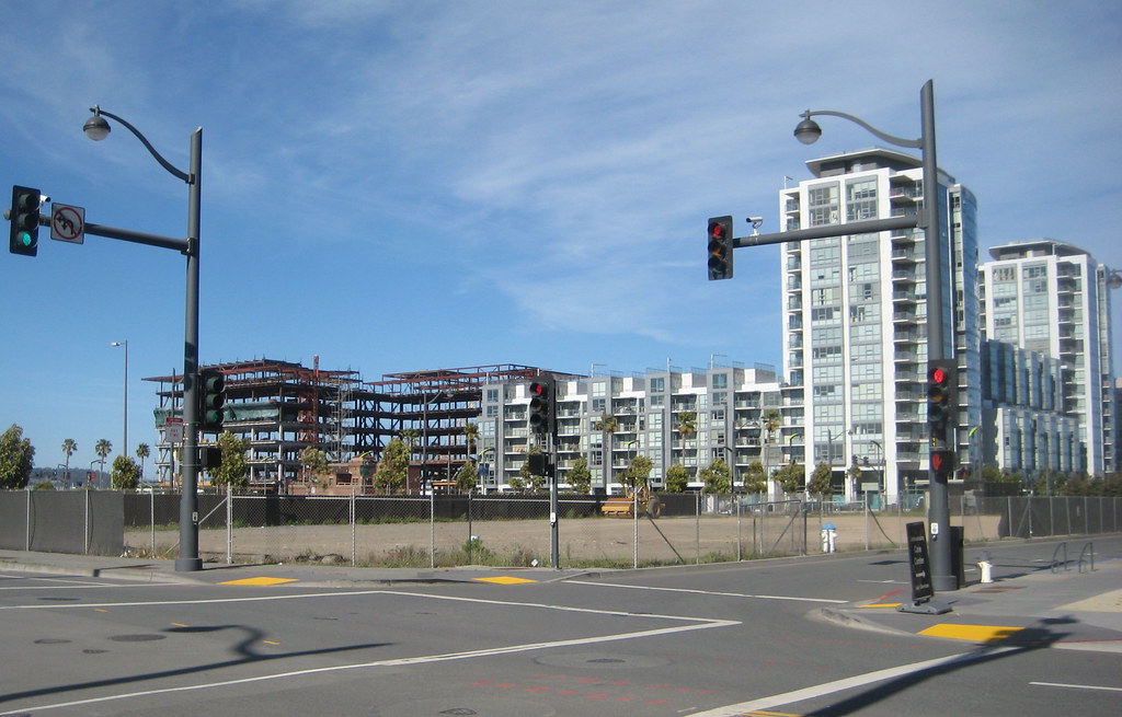
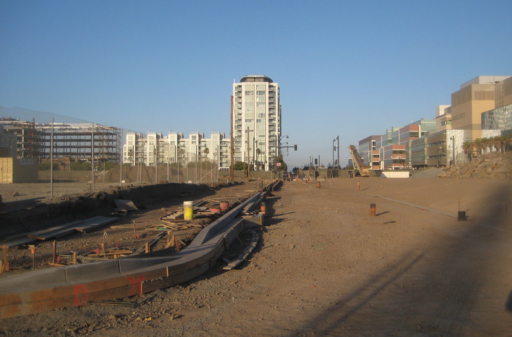
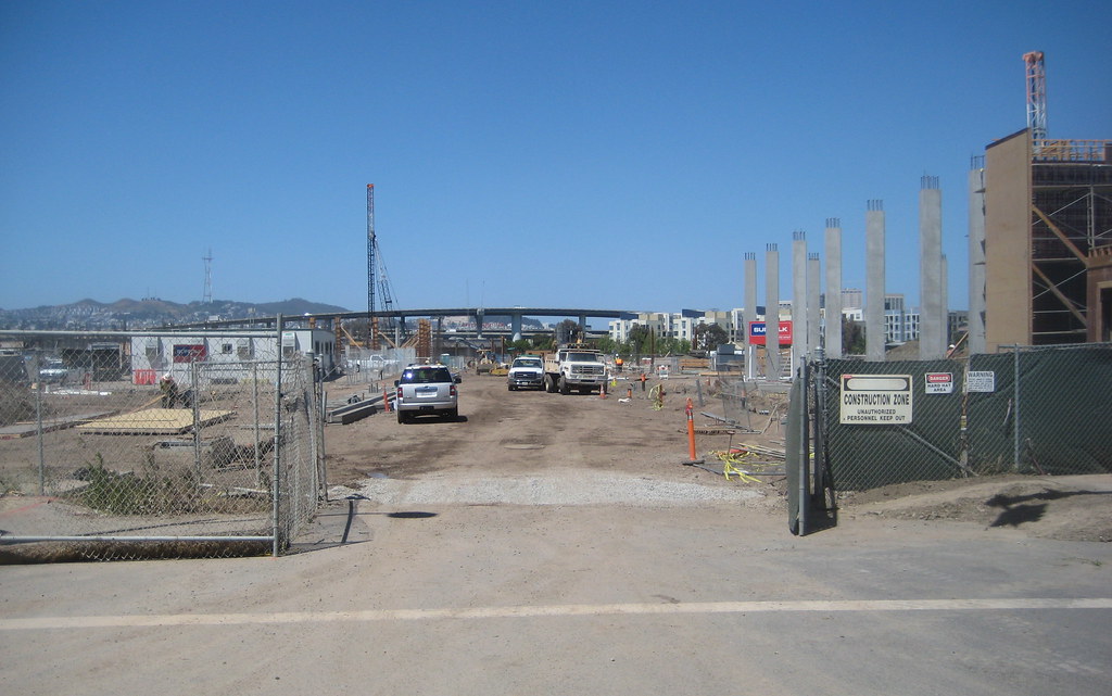
the corner of Long Bridge and China Basin St, future children's park, P6 (looking east):


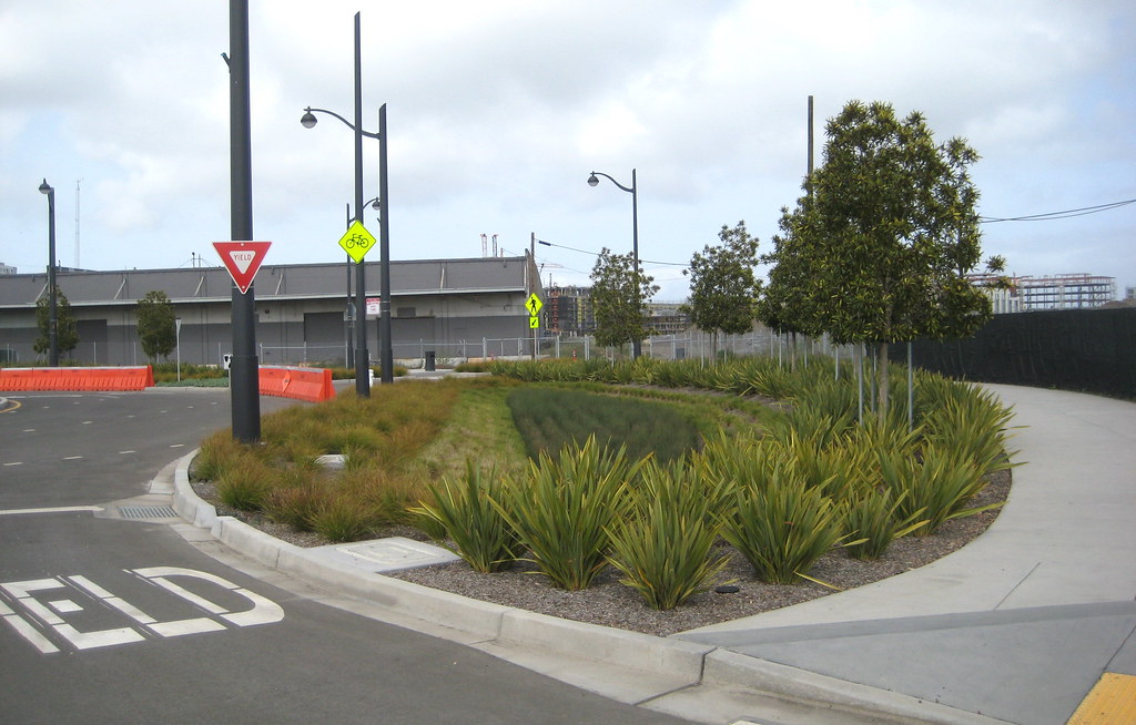
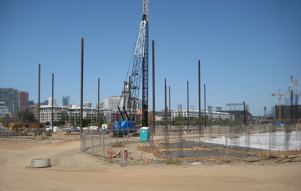
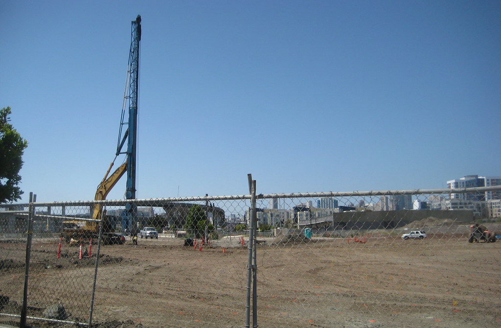
looking west across what will be the dog run (P5) towards the newly-graded block 12E, with the last remaining structure of Old Mission Bay in the distance:


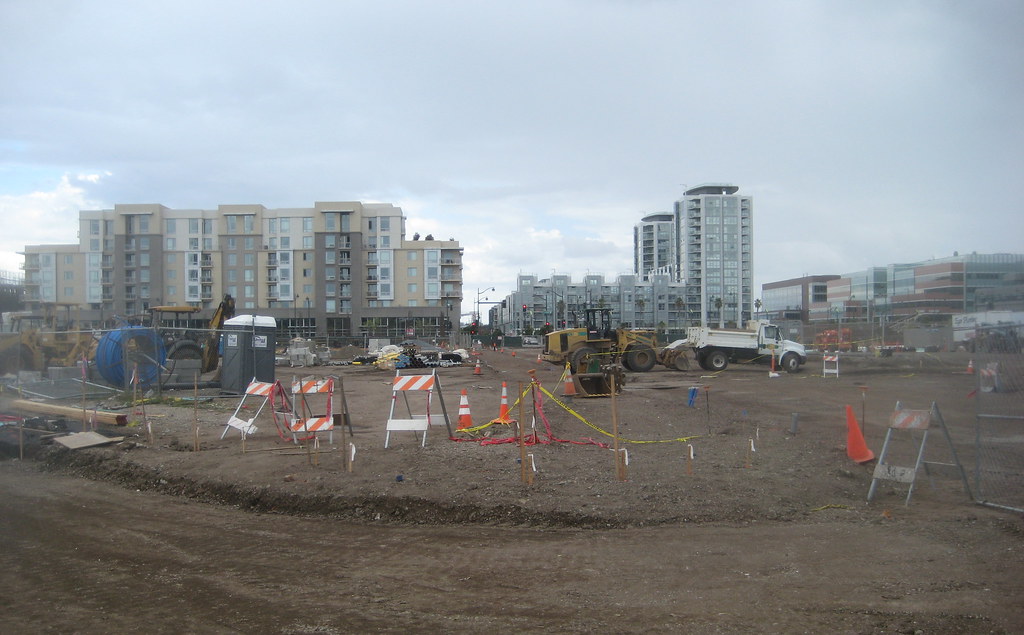
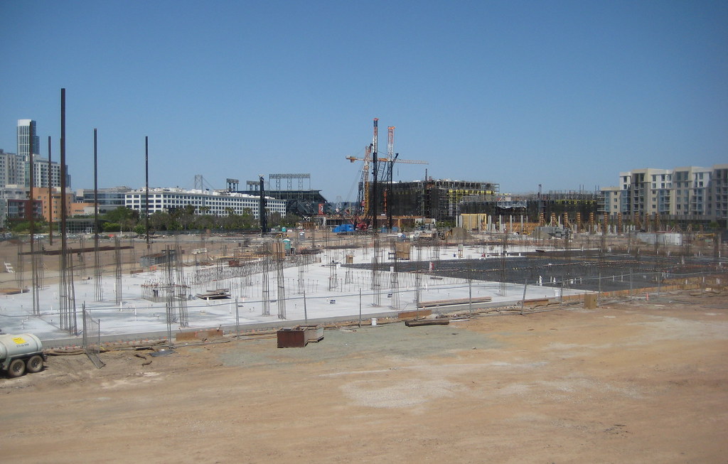
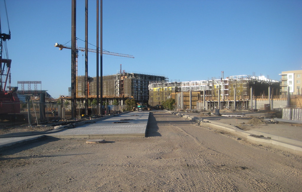
turned around 180 degrees from the previous shot, looking east at block 13W, with 13E in the background and block 2 in the distance:


looking north from almost the same spot up what I guess will be Fifth, with dog run on the left, block 13 on the right, and towards what will be the southern landing of the footbridge across the Creek:


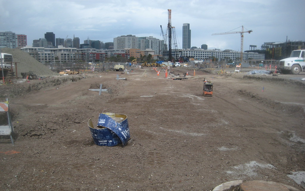
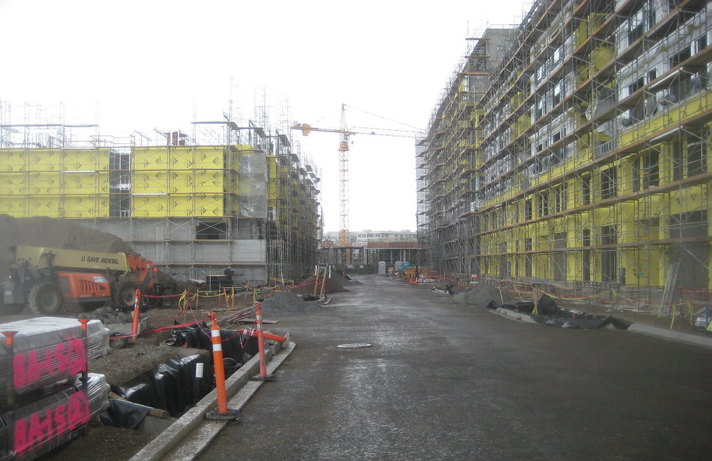
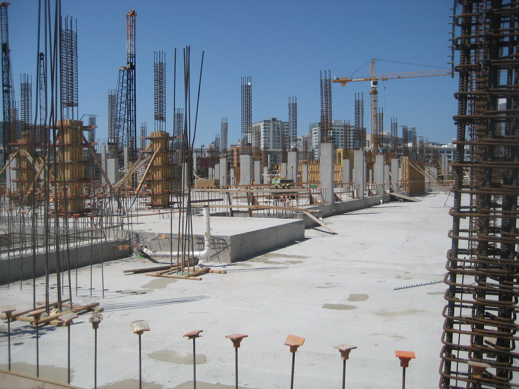
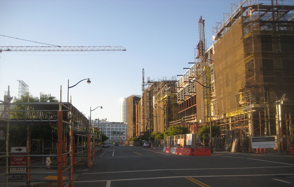
looking south down the future street between blocks 6 and 11 (I forget its name at the moment):


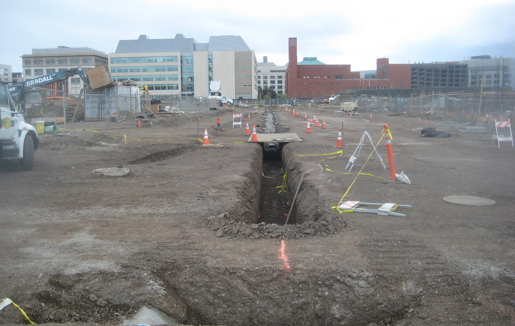
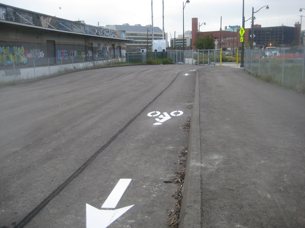
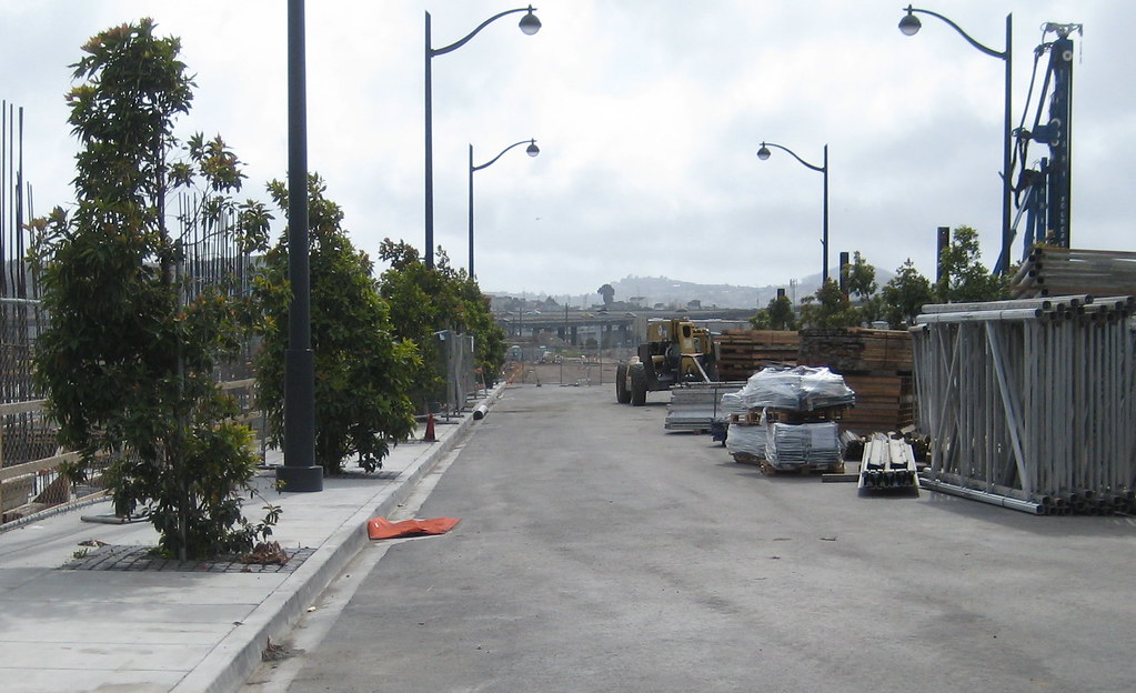
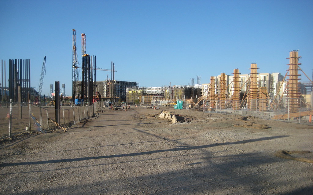
looking north up that same street from approximately the Commons:


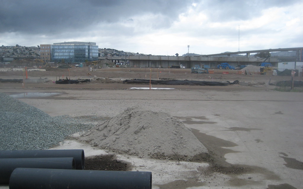
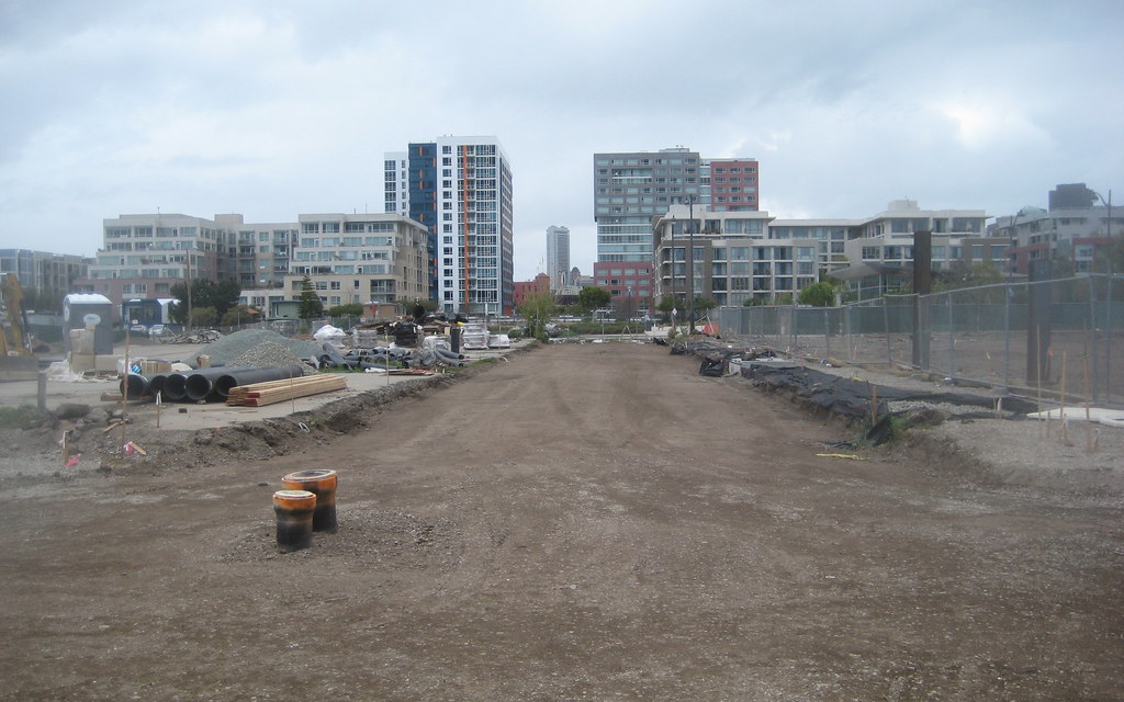
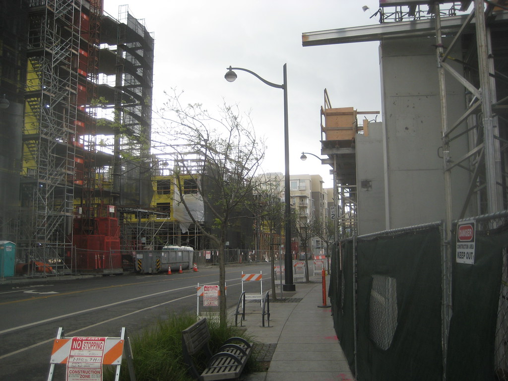
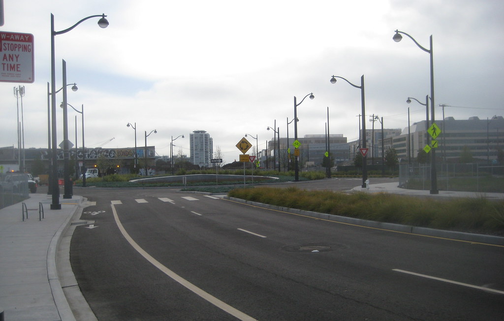
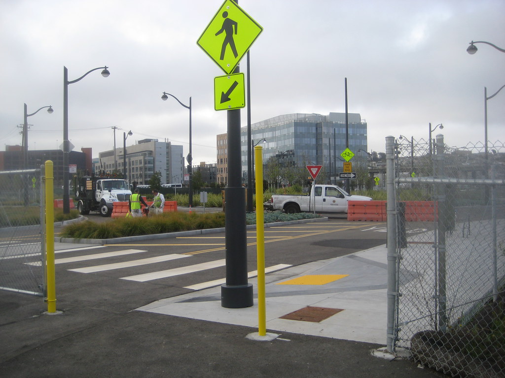
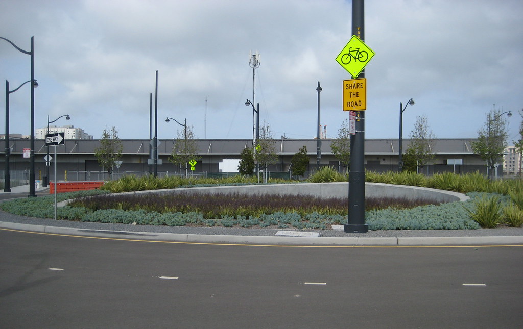
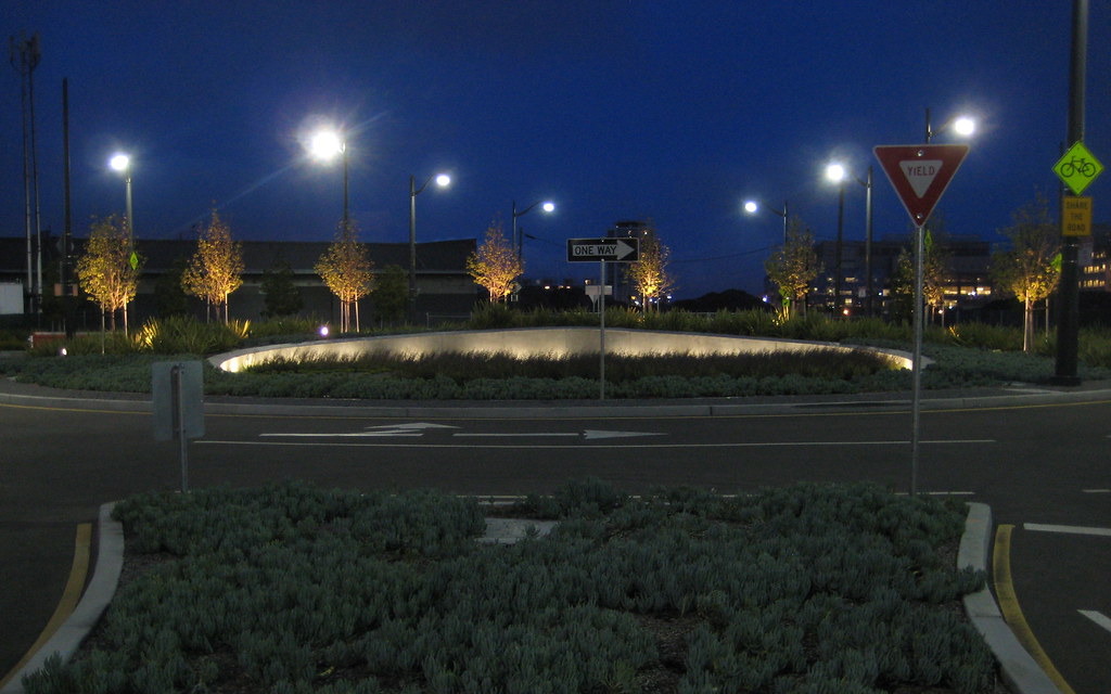
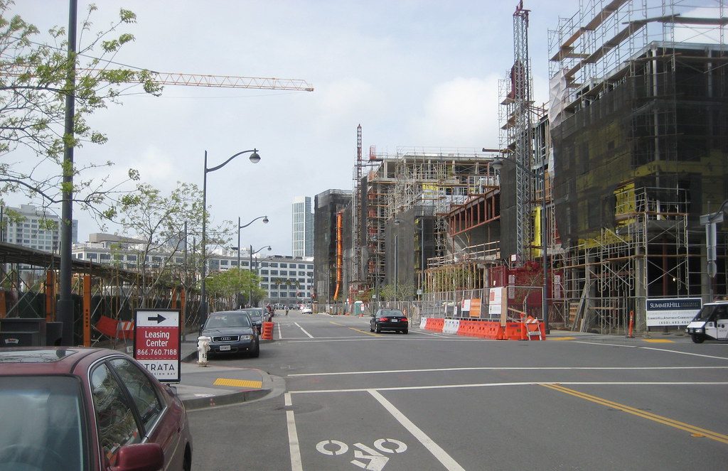
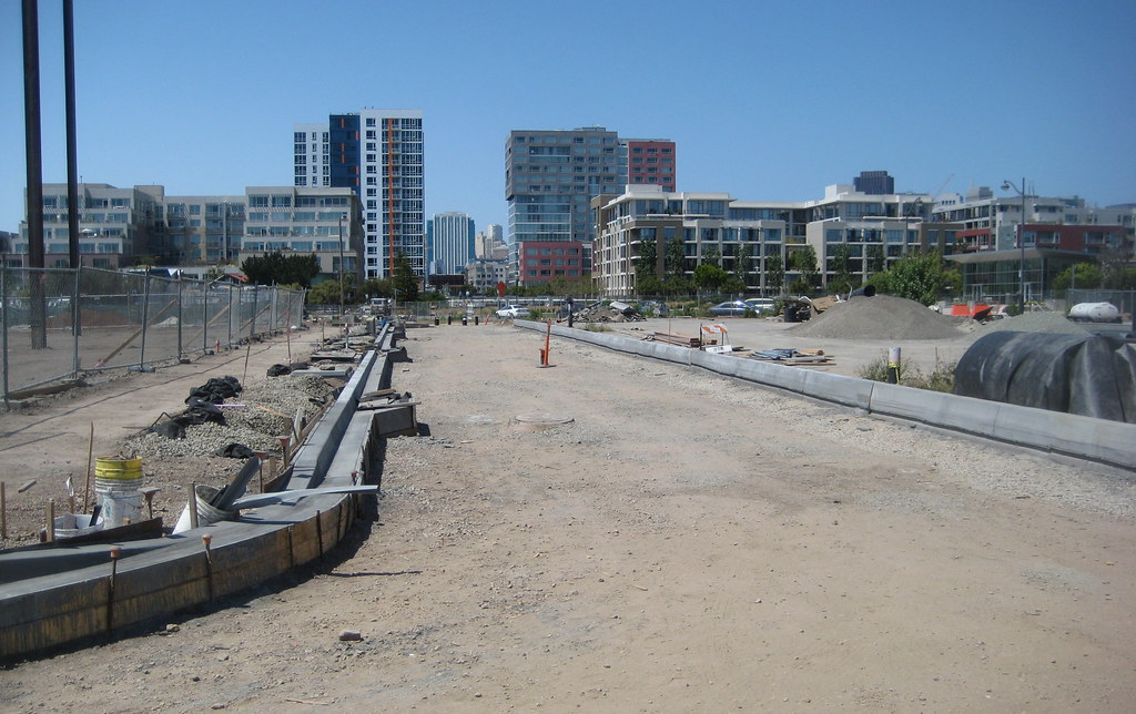
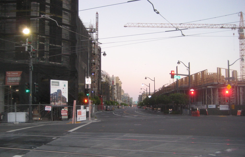
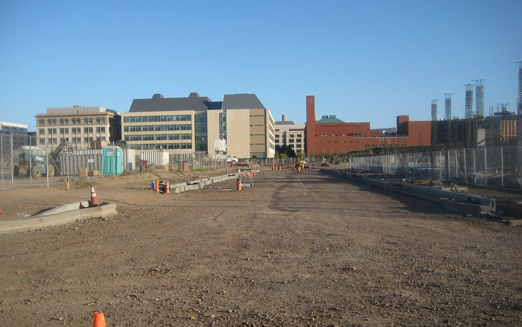
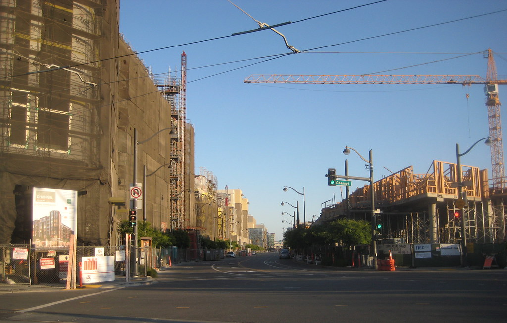
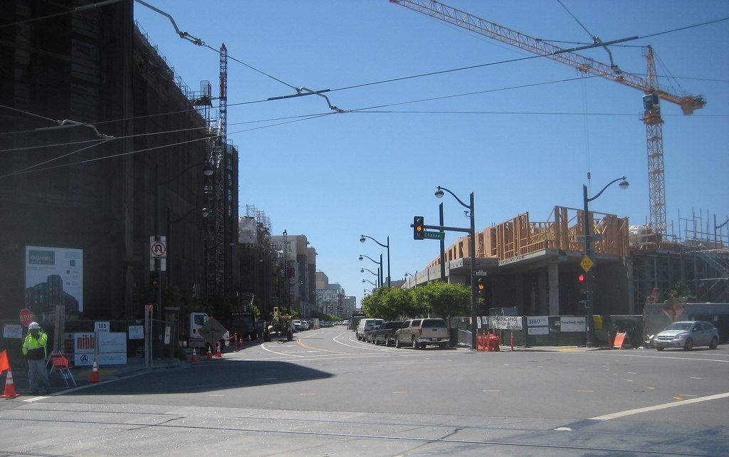
looking east along what will be Mission Bay Blvd South:

Reply With Quote
     
     
  #1385  
Old Posted Apr 2, 2013, 8:11 AM
timbad timbad is offline
heavy user of walkability
 
Join Date: May 2008
Location: Mission Bay, San Francisco
Posts: 3,150
also, it is starting to happen, that point where a new presence along a street changes the whole feel of moving through that space - along Fourth. with block 13E rising up to form the streetwall on the other side of Fourth from blocks 2 and 3, this is what it looks like as you enter from the north:


you are now framed for the first time, and at least for me this weekend, there was a notable change in perception.

here looking back north:


looking at blocks 2 and 3 from Mission Rock (from the south), you can see windows have started to go in on block 2:


looking west down the little alley that separates 2 and 3:


and, the public safety building, where the crane is building itself into a corner:

Reply With Quote
     
     
  #1386  
Old Posted Apr 3, 2013, 6:10 AM
timbad timbad is offline
heavy user of walkability
 
Join Date: May 2008
Location: Mission Bay, San Francisco
Posts: 3,150
we have achieved traffic circle

Quote:
Originally Posted by timbad View Post
was over there and did not see any evidence of the extended median yet, ...
it's there now, sorta. a red plastic thing wasn't what I had imagined, hope that changes before too long:


it was a pretty gray morning, but still almost glorious to not have to walk the old ugly path. a menagerie of new signage, with heavy emphasis on pointing out ped and cycle presence, even a couple of 'share the road's:


the centerpiece itself is rather pleasant:


for cars it is open to Owens on the south and to Seventh on the west only, for now. but peds and bikes have access through to the northeast as well, where Channel will eventually come in.


a look at the temporary connection between existing Channel and the circle. they were still putting final touches on some of the paint:


and maybe because of all the anticipated new through traffic, they were also painting over the grafitti (that building gets extensively tagged constantly) on the last Old Mission Bay warehouse:


here as the approach along Channel looks currently (looking west). we can imagine the green from the right side stretching all the way to where the warehouse is now once P2 is done. (btw, I hope they leave the existing native plant garden alone as much as possible when they put in P2 - it really is nicely put together and taken care of, and the effect is more natural-looking than P1 (Mission Creek Park) overall. not saying I don't like P1, just that the garden has more of a personal touch evident, and I appreciate that)

Reply With Quote
     
     
  #1387  
Old Posted Apr 5, 2013, 1:40 AM
minicute minicute is offline
Registered User
 
Join Date: Jul 2012
Posts: 11
Thanks for the pics of the circle Timbad!
Reply With Quote
     
     
  #1388  
Old Posted Apr 8, 2013, 7:04 AM
timbad timbad is offline
heavy user of walkability
 
Join Date: May 2008
Location: Mission Bay, San Francisco
Posts: 3,150
Quote:
Originally Posted by minicute View Post
Thanks for the pics of the circle Timbad!
here are a couple more on a sunnier day... the look south down Owens from the circle:


looking south from where Channel will come in:


a look at one of the two bioswales (on the right is the site of the future school, and in the distance you can see the result of the graffiti abatement on the warehouse)


the center by day


and by night:

Reply With Quote
     
     
  #1389  
Old Posted Apr 8, 2013, 7:15 AM
timbad timbad is offline
heavy user of walkability
 
Join Date: May 2008
Location: Mission Bay, San Francisco
Posts: 3,150
elsewhere, they were digging in earnest on 13W:


not sure you can tell in the distance in this shot, but it looked to me that they were getting ready to mold the curbs for the next section of Long Bridge St (which would pass between 13W and the children's park (P6):


...and the obligatory shot up Fourth:

Reply With Quote
     
     
  #1390  
Old Posted Apr 15, 2013, 7:22 AM
timbad timbad is offline
heavy user of walkability
 
Join Date: May 2008
Location: Mission Bay, San Francisco
Posts: 3,150
the formal median which will prevent left turns onto Berry is now under construction at the Seventh St/RR tracks entrance to MB:


curbs are in for the next segment of Long Bridge St (between 13W and P6). blocks 2 and 3 in the distance:


and it looks like they will finish off the sidewalk around the entire block 13 - here looking north along its western side, up what will be Fifth St:


here is block 5:


a long-view shot of the public safety building:

Reply With Quote
     
     
  #1391  
Old Posted Apr 25, 2013, 4:43 AM
minesweeper minesweeper is offline
Registered User
 
Join Date: Jul 2011
Location: San Francisco
Posts: 613
Curbed has some photos of Channel (Block 2).

One of the better looking developments going up in Mission Bay, I think.
Reply With Quote
     
     
  #1392  
Old Posted Apr 28, 2013, 10:13 PM
timbad timbad is offline
heavy user of walkability
 
Join Date: May 2008
Location: Mission Bay, San Francisco
Posts: 3,150
weekend update...

test piles are going in on block 12W (edit: 12E)! here looking north across the SW corner of block 11, with 12E behind it:


here is the rest of block 11:


curbs are progressing along Long Bridge St, here looking northeast:


curbs also going in on the little section of Fifth between blocks 12 and 13, site of future dog run. surprises me a little that it looks like there will be road on either side of the dog run, since I think the design plan for that parcel displayed at the former Visitor Center showed only a walking path on the west side. looking north with block 12 on the left:


here's the look up Fourth:


block 5:


the work at the new UCSF building on block 25:


another new development: they've torn up most of the remaining section of old Sixth St, and had a large piece of equipment doing I'm not sure what over there yesterday. this would be approximately the location of the future UCSF parking garage behind the future tower on the east side of Owens:


also, nothing happening yet on parcels P23 and P24 down in the SE corner of MB. there was an article in the Potrero View a while back that mentioned they would be getting going in March, but apparently not.

Last edited by timbad; Apr 30, 2013 at 4:54 AM.
Reply With Quote
     
     
  #1393  
Old Posted Apr 29, 2013, 2:53 PM
WildCowboy WildCowboy is offline
Registered User
 
Join Date: Aug 2007
Posts: 527
That new Sixth Street work at UCSF looks like surcharging...for those who don't remember, they install a bunch of wicks to draw water out of the ground and pile a bunch of dirt on the site for about a year or so to compress things. Helps prevent settling of the earth over time.

I believe the plans call for an interim parking lot in that area until it's time to develop it permanently with parking garages and the proposed tower along Owens.
Reply With Quote
     
     
  #1394  
Old Posted May 6, 2013, 2:41 AM
viewguysf's Avatar
viewguysf viewguysf is offline
Surrounded by Nature
 
Join Date: Jan 2007
Location: Walnut Creek, California
Posts: 2,028
Taken from my place this evening: the skeleton of the Public Safety Building is clearly visible, as is the helipad and small portion of the UCSF Hospital roofline, sticking above the north end of Potrero Hill.


Mission Bay with Oakland above it by viewguysf, on Flickr

Last edited by viewguysf; Jun 3, 2013 at 2:29 AM. Reason: Reduced the photo size
Reply With Quote
     
     
  #1395  
Old Posted May 11, 2013, 8:02 PM
viewguysf's Avatar
viewguysf viewguysf is offline
Surrounded by Nature
 
Join Date: Jan 2007
Location: Walnut Creek, California
Posts: 2,028
Taken from the Club Level of AT&T Park on Wednesday--I wish I would have had a camera other than my phone with me. It will be great when all of the surface parking disappears.


Mission Bay by viewguysf, on Flickr


Public Safety Building in Mission Bay by viewguysf, on Flickr

So much of Madrone's west highrise looks into the Public Safety Building--not the view I'd want.

Last edited by viewguysf; Jun 3, 2013 at 2:32 AM.
Reply With Quote
     
     
  #1396  
Old Posted May 13, 2013, 7:28 AM
timbad timbad is offline
heavy user of walkability
 
Join Date: May 2008
Location: Mission Bay, San Francisco
Posts: 3,150
the base for the streets surrounding block 13 are being poured... this is the west side (and on the left you can see that pile-driving has started up again on block 13W)


this was last week, from the opposite side, in more light:


again last week, here is Long Bridge St


this evening, the look south down Fourth:

Reply With Quote
     
     
  #1397  
Old Posted May 14, 2013, 5:14 AM
NOPA NOPA is offline
Registered User
 
Join Date: May 2010
Location: New York City
Posts: 320
I'm pretty sure this isn't in the works, but a pedestrain bridge from 5th Street to Mission Bay would be pretty nice. Sorry to get off topic a bit. Great pics!
Reply With Quote
     
     
  #1398  
Old Posted May 14, 2013, 1:23 PM
WildCowboy WildCowboy is offline
Registered User
 
Join Date: Aug 2007
Posts: 527
Quote:
Originally Posted by NOPA View Post
I'm pretty sure this isn't in the works, but a pedestrain bridge from 5th Street to Mission Bay would be pretty nice. Sorry to get off topic a bit. Great pics!
It's definitely in the plans, but no movement on it yet. Don't see it happening until they get Channel shifted over and the remainder of the park along the houseboat community taken care of.
Reply With Quote
     
     
  #1399  
Old Posted May 21, 2013, 5:48 PM
timbad timbad is offline
heavy user of walkability
 
Join Date: May 2008
Location: Mission Bay, San Francisco
Posts: 3,150
from a walkabout Sunday evening...

here is a shot northeast down what will be just about the entire length of Long Bridge St, with block 11 on the right and block 12E on the left, with 13W piles beyond


here is a shot from the top of a dirt pile looking at the location from where the previous pic was taken, so you can see where Long Bridge will emerge from between blocks 11 and 12, to intersect with the west end of the Commons (which would be partially under the dirt pile):


here a look from farther east on Long Bridge, almost the same spot as in a pic posted last week, but with different lighting. block 13W's piles on the left


and even though they haven't progressed much in the area of the previous pic, the curb-makers have been active elsewhere. this is the north-south street on the east side of block 11, looking south:


even Mission Bay Blvd North is getting some:


looking north up Fourth:


and back the other way:


the public safety building:


and, it's only a bank, but the first new 'storefront' along Third looks close to opening at Madrone:

Reply With Quote
     
     
  #1400  
Old Posted May 22, 2013, 8:06 AM
timbad timbad is offline
heavy user of walkability
 
Join Date: May 2008
Location: Mission Bay, San Francisco
Posts: 3,150
from this morning... this is the passageway between blocks 13E (on the left) and 13W, where they were installing a double row of trees:


taking advantage of the morning sun angle, here is China Basin St, looking west, block 5 on the right:


and they had taken down a bunch of the scaffolding along the Fourth St side of block 13E, so its lines are cleaner now, and walking by, the corner at Fourth and Channel feels more open now. looking south:

Reply With Quote
     
     
This discussion thread continues

Use the page links to the lower-right to go to the next page for additional posts
 
 
Reply

Go Back   SkyscraperPage Forum > Global Projects & Construction > General Development
Forum Jump


Thread Tools
Display Modes

Forum Jump


All times are GMT. The time now is 9:53 PM.

     
SkyscraperPage.com - Archive - Privacy Statement - Top

Powered by vBulletin® Version 3.8.7
Copyright ©2000 - 2024, vBulletin Solutions, Inc.