HomeDiagramsDatabaseMapsForum About
     

Go Back   SkyscraperPage Forum > Regional Sections > Canada > Alberta & British Columbia > Vancouver > Vancouver Photos


Reply

 
Thread Tools Display Modes
     
     
  #1  
Old Posted Sep 7, 2020, 9:58 PM
Klazu's Avatar
Klazu Klazu is offline
Registered User
 
Join Date: Apr 2012
Location: Above Metro Vancouver clouds
Posts: 10,186
Cariboo and Northern BC Photos

Starting a new thread for photos from the Northern BC. With COVID-19 having closed all the borders this summer, our summer vacation became a trip up north.

Weather wasn't the greatest on the first morning as we drove through Pemberton.


Highway 99 between Pemberton and Lillooet has some nice remote stretches with curvy roads.


One cannot see it here, but our car was full of camping gear and stuff preparing us for the trip to come.


The closer one gets to Lillooet, the drier the landscape and weather always get.


Fraser Canyon next to Lillooet is a sight to behold.


Our lunch spot was in 100 Mile House exactly... 100 miles from Lillooet.


These must be undoubtedly the world's largest cross-country skis!


Passing through Williams Lake there are several log home factories along the highway which many are featured on HGTV's Timber Kings, a reality television show filmed in Williams Lake.


Many television series are filmed in BC and Jade Fever on Discovery Channel is another one. It was a bit strange to see a roadside ad around 700 kilometers before the town itself, but hey, better sooner than later, eh?


Quesnel used to be an important town during the gold boom of the 1800s and there is still some heritage to be seen in the town. Billy Parker Casino & Hotel seen here was our place to stay for the night.


This is just a beginning and there are many more photos to come from our trip to the north.
Reply With Quote
     
     
  #2  
Old Posted Sep 7, 2020, 10:05 PM
Denscity Denscity is offline
Registered User
 
Join Date: Jun 2008
Location: Within the Cordillera
Posts: 12,493
Love seeing that stuff nice work.
__________________
Castlegar BC: SSP's hottest city (43.9C)
Lytton BC: Canada’s hottest city (49.6C)
Reply With Quote
     
     
  #3  
Old Posted Sep 11, 2020, 2:30 AM
Klazu's Avatar
Klazu Klazu is offline
Registered User
 
Join Date: Apr 2012
Location: Above Metro Vancouver clouds
Posts: 10,186
From Quesnel the next stop along our long route Prince George, which is the capital of Northern BC. We have been there before, so we just did few rounds in downtown before pushing onward on our trip.


Prince George is not the most beautiful or exciting city out there, as there is lots of industry in the area. Here we are crossing mighty Fraser River once again.


Heading west the next locale from Prince George is the town of Vanderhoof, which is famous for being the geographical centre of BC. It is here that one realized that even after driving almost 900 kilometres from Vancouver, one ain't further than only halfway up BC.


Highway 16 is the only road heading west and it has some really long stretches of remote landscapes. Most of it is flat and boring but after driving for several hours, majestic peaks start once again appearing in the horizon.


Beautiful stop just before Smithers.


Smithers is a small town of some 5,300 inhabitants. This old railway town has a nice little town centre which has had some European influence. The majestic peaks behind the town is the 2,589-metres tall Hudson Bay Mountain.


Just outside the town one can find beautiful twin waterfalls rushing down the mountain.


Smithers was our place for the night before continuing our journey in the morning. Not far from Smithers,Witset Canyon is a nice brief stop and a popular fishing spot for the local First Nation. As it was Monday morning, there was nobody fishing.


Further west, one should make the effort check out the small town of Hazelton. The Hagwilget Bridge built in 1931 is a thrilling drive across a deep canyon with Bulkley River flowing some 80 meters below you.


The surrounding landscape is unreal even on a cloudy day.


The town itself is also worth checking out for its First Nations heritage but unfortunately everything was closed due to COVID-19.


Our ultimate destination of the day and our entire trip was Terrace, which is a small city servicing much of the surrounding area. The city itself has little to offer but there are several interesting places around it.


For the next four nights the nearby provincial campground of Lakelse Lake would be our base with its first class campground amenities. BC being still in the last days of Phase 2 of reopening, the campground was really quiet and there was problem of finding a great spot.


New few days would have us explore the nearby towns before the long drive back home at the end of the week. More on that later.
Reply With Quote
     
     
  #4  
Old Posted Sep 11, 2020, 4:48 AM
Nites Nites is offline
Registered User
 
Join Date: Jan 2008
Location: Surrey, BC
Posts: 1,558
Wouldn't it have been quicker and more scenic to take highway 1 east to hope then take highway 1 through the fraser canyon to highway 12 to lillooet? Unless you have already done that route lots of times. Or maybe thats just my personal opinion because I've done sea to sky so many times.
Reply With Quote
     
     
  #5  
Old Posted Sep 11, 2020, 5:48 AM
Klazu's Avatar
Klazu Klazu is offline
Registered User
 
Join Date: Apr 2012
Location: Above Metro Vancouver clouds
Posts: 10,186
We have also done both many times and the distance is pretty similar. We happened to have the first night booked at Nairn Falls, which is why we took Sea to Sky on the way up. On our way back Highway 1 was our choice. Both very scenic options but the focus of this trip was the scenery up north.
Reply With Quote
     
     
  #6  
Old Posted Sep 11, 2020, 7:06 PM
idunno idunno is offline
Registered User
 
Join Date: Feb 2010
Posts: 751
Beautiful pictures Klazu! Great tour.
Reply With Quote
     
     
  #7  
Old Posted Sep 12, 2020, 6:53 AM
Nites Nites is offline
Registered User
 
Join Date: Jan 2008
Location: Surrey, BC
Posts: 1,558
Quote:
Originally Posted by Klazu View Post
We have also done both many times and the distance is pretty similar. We happened to have the first night booked at Nairn Falls, which is why we took Sea to Sky on the way up. On our way back Highway 1 was our choice. Both very scenic options but the focus of this trip was the scenery up north.
Fair enough. Great photos btw.
Reply With Quote
     
     
  #8  
Old Posted Sep 29, 2020, 2:44 AM
Klazu's Avatar
Klazu Klazu is offline
Registered User
 
Join Date: Apr 2012
Location: Above Metro Vancouver clouds
Posts: 10,186
Kitimat is a small yet rather famous town some 60 kilometres south of Terrace.


The Kitimat Valley is an usually flat stretch of land on the Canadian west coast. It's connection with the ocean has made it the perfect location for several billion-dollar construction projects.


The town was founded in 1951 when aluminium giant Alcan made a decision to build a huge smelter in there. The smelter is still operational and provides hundreds of well-paying jobs.


Building a smelter in middle of nowhere was one of the biggest construction project of the 50s that required reversing a major river, building massive waterpipes through mountains and transferring electricity through fierce mountains.


The town itself is small yet very livable as it was designed to be a garden city. It was odd to see brand new hotels in a small remote town.


The natural deep-sea harbour offers great conditions for ships to dock.


Kitimat is the destination of several oil and natural gas pipeline projects which are worth billions of dollars and hence controversial with everyone wanting a cut.


The Alcan smelter is nowadays owned by the Australian mining giant Rio Tinto.


I have never seen such modular housing villages with few thousand residents!


In 2014 they even sailed an old cruise liner all the way from the Baltic Sea to house some of the workers.


Kitimat is not just industry and nature is actually very close to the town. This small park is just a kilometre from the massive smelter.


We quite enjoyed our warm summer day in Kitimat. It was amazing to see such a remote yet livable town with so much buzz. There is so much mega contruction happening all around you that it is amazing to see.
Reply With Quote
     
     
  #9  
Old Posted Sep 29, 2020, 5:13 AM
Alex Mackinnon's Avatar
Alex Mackinnon Alex Mackinnon is offline
Can I has a tunnel?
 
Join Date: May 2008
Location: East Van
Posts: 2,096
Quote:
Originally Posted by Klazu View Post
Kitimat is a small yet rather famous town some 60 kilometres south of Terrace.


Building a smelter in middle of nowhere was one of the biggest construction project of the 50s that required reversing a major river, building massive waterpipes through mountains and transferring electricity through fierce mountains.


It's kind of amusing, you don't usually see my work pop up on here. I made that diagram, or well I updated it anyways to show the new configuration of the project instead of the 90s configuration. I spent a year doing design work on that, then 2 years on site doing construction.

If you have a chance, you should see if you can get a boat ride out in to Gardner Canal. The area in near Kemano Beach is absolutely spectacular.
__________________
"It's ok, I'm an engineer!" -Famous last words
Reply With Quote
     
     
  #10  
Old Posted Oct 11, 2020, 8:40 PM
Klazu's Avatar
Klazu Klazu is offline
Registered User
 
Join Date: Apr 2012
Location: Above Metro Vancouver clouds
Posts: 10,186
Ah, that's funny Alex! Thanks for a diagram that explains the incredible infrastructure in a simple way! I bet your years in those remote parts must have been quite something!
Reply With Quote
     
     
  #11  
Old Posted Oct 11, 2020, 8:42 PM
Klazu's Avatar
Klazu Klazu is offline
Registered User
 
Join Date: Apr 2012
Location: Above Metro Vancouver clouds
Posts: 10,186
Our next day trip took us to Prince Rupert which is known to be Canada's wettest city.

Fortunately for us, the day was anything but rainy and the morning view over the calm Lakelse Lake was amazing.


We would be driving the remaining 144-kilometre stretch of Highway 16 to Prince Rupert on the coast through some rugged coast mountains.


In late June there was still snow on the mountains which made for some superb scenery all along the route.


Highway also has busy train tracks running parallel to it which are used by long cargo trains.


Skeena River gets wider and wider the closer to the ocean it gets.


Many crystal-clear rivers feed into Skeena River.


Waterfalls are plentiful along Highway 16.


Just before Prince Rupert we made a stop in small town of Port Edward. Unfortunately for us, the national historic site of an old cannery was closed due to COVID-19.


Finally, after few hours of driving, we reached Prince Rupert on the pacific coast.


Most Alaskan cruises call port in Prince Rupert which brings hundreds of thousands of tourist into town. This year has been really tough for the city's tourist industry after the cruise season was cancelled.


Prince Rupert has several ferry connections in all directions. There is a ferry to the south to Port Hardy (Vancouver Island), west to Haida Gwaii and north to Alaska. The Alaskan border is only 40 kilometres north of the city.


The revival of Port of Prince Rupert has been a lifesaver for the city and it is the 3rd deepest natural harbour in the world. It is also the closest North American port to Asia, which offers a two-day advantage over Port of Vancouver and several days over American ports. For this reason the port's capacity rivals the Port of Vancouver as the only other entry point into Canada and east coast.


It's a long way back to Vancouver from here. Taking the ferry to Port Hardy would save one 1000 kilometres of driving.


Just outside of the city there is a short hiking trail to Butze Rapids.


The rapids are caused by the strong ocean tides and can grow pretty impressive.


With a scenery like this, we didn't mind at all having to traverse the same road back to Terrace.


And there you have it. Next set of photos will have us make our way back home in Vancouver.
Reply With Quote
     
     
  #12  
Old Posted Oct 11, 2020, 8:54 PM
red-paladin red-paladin is offline
Vancouver Moderator
 
Join Date: Sep 2008
Location: Burnaby
Posts: 3,626
Some amazing photos.
Reply With Quote
     
     
  #13  
Old Posted Oct 12, 2020, 1:11 AM
Unregistered User Unregistered User is offline
Registered User
 
Join Date: Sep 2018
Posts: 38
Came out of lurker-hiatus to say these are excellent.
Reply With Quote
     
     
  #14  
Old Posted Oct 12, 2020, 4:44 AM
Klazu's Avatar
Klazu Klazu is offline
Registered User
 
Join Date: Apr 2012
Location: Above Metro Vancouver clouds
Posts: 10,186
Thank you, both. I really appreciate the comments but with a scenery like this, it is hard to take a terrible shot.
Reply With Quote
     
     
  #15  
Old Posted Oct 12, 2020, 6:59 AM
Hourglass Hourglass is offline
Registered User
 
Join Date: Jun 2006
Location: Here and there
Posts: 754
Quote:
Originally Posted by Klazu View Post
Thank you, both. I really appreciate the comments but with a scenery like this, it is hard to take a terrible shot.
Still, Klazu, you have a great eye. Fantastic photos. Did you ever consider continuing further north to the Yukon?
Reply With Quote
     
     
  #16  
Old Posted Oct 21, 2020, 10:49 AM
hollywoodnorth's Avatar
hollywoodnorth hollywoodnorth is offline
Blazed Member - Citygater
 
Join Date: Oct 2001
Location: Downtown Vancouver
Posts: 6,120
thanks for the photos!
__________________
Quote of the Decade on SSP: "what happens would it be?" - argon007

"orange vested guy" - towerguy3
Reply With Quote
     
     
  #17  
Old Posted Oct 21, 2020, 3:17 PM
osirisboy's Avatar
osirisboy osirisboy is offline
Registered User
 
Join Date: Mar 2006
Location: Vancouver BC
Posts: 6,056
This should be in the BBC section
Reply With Quote
     
     
  #18  
Old Posted Oct 21, 2020, 4:03 PM
idunno idunno is offline
Registered User
 
Join Date: Feb 2010
Posts: 751
Great tour of a beautiful part of this province!
Reply With Quote
     
     
  #19  
Old Posted Oct 23, 2020, 2:37 AM
Klazu's Avatar
Klazu Klazu is offline
Registered User
 
Join Date: Apr 2012
Location: Above Metro Vancouver clouds
Posts: 10,186
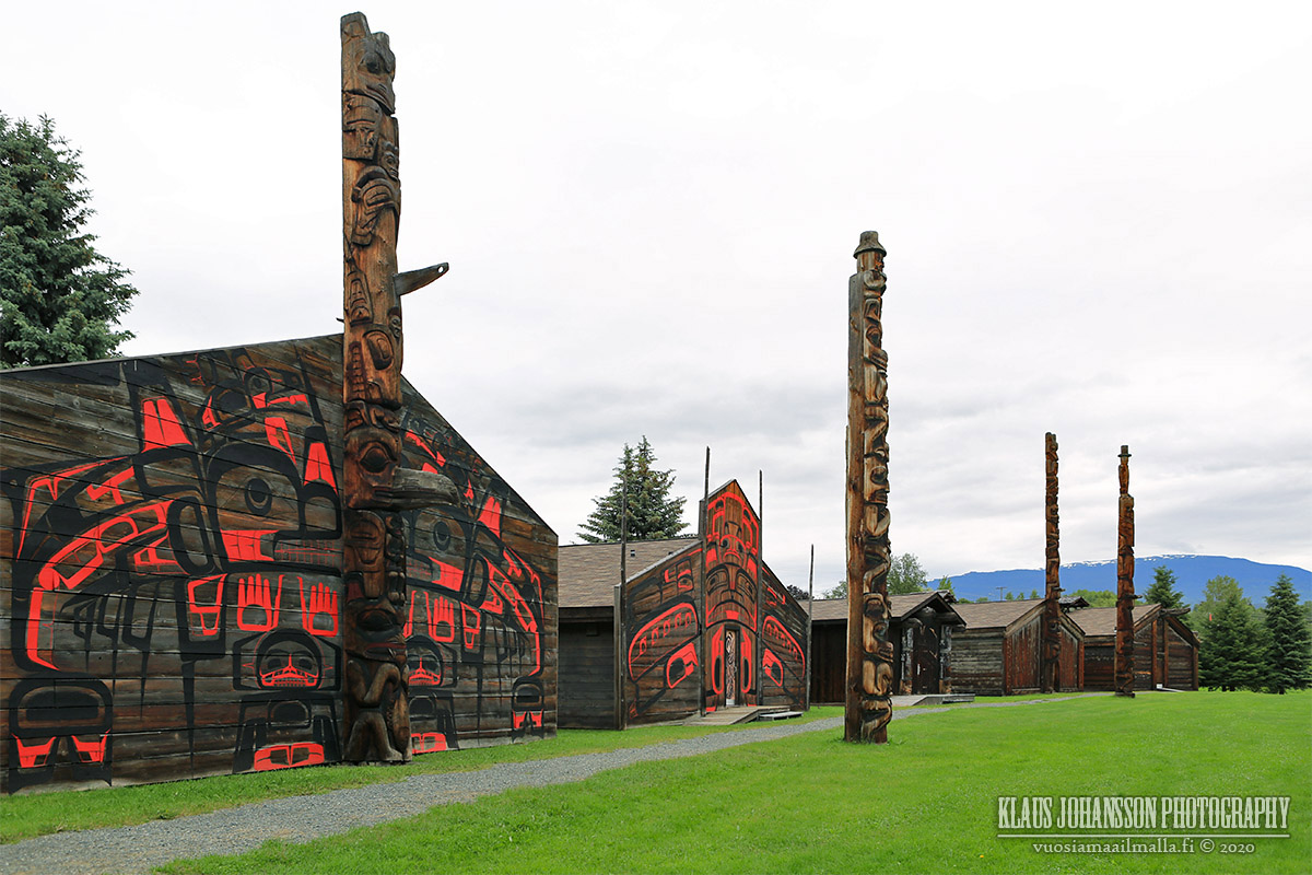
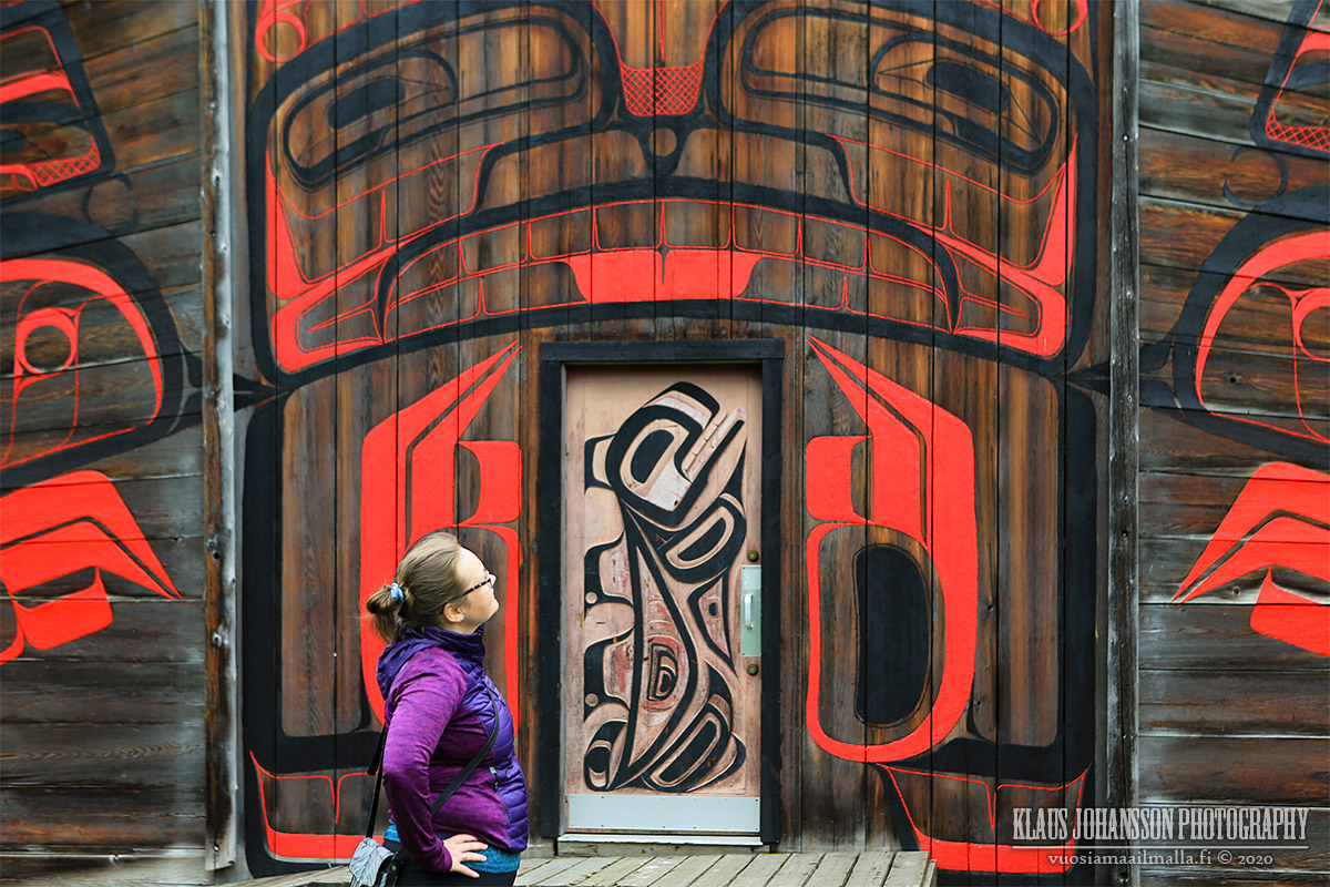
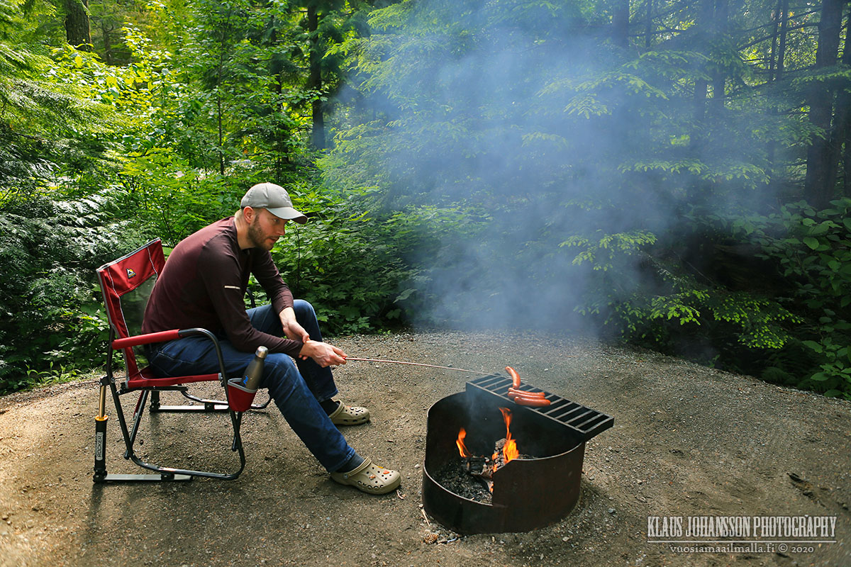
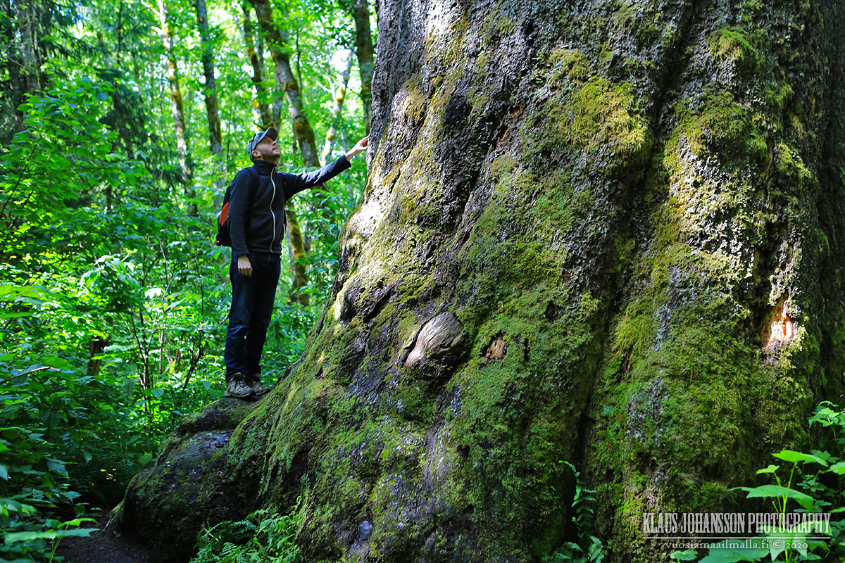
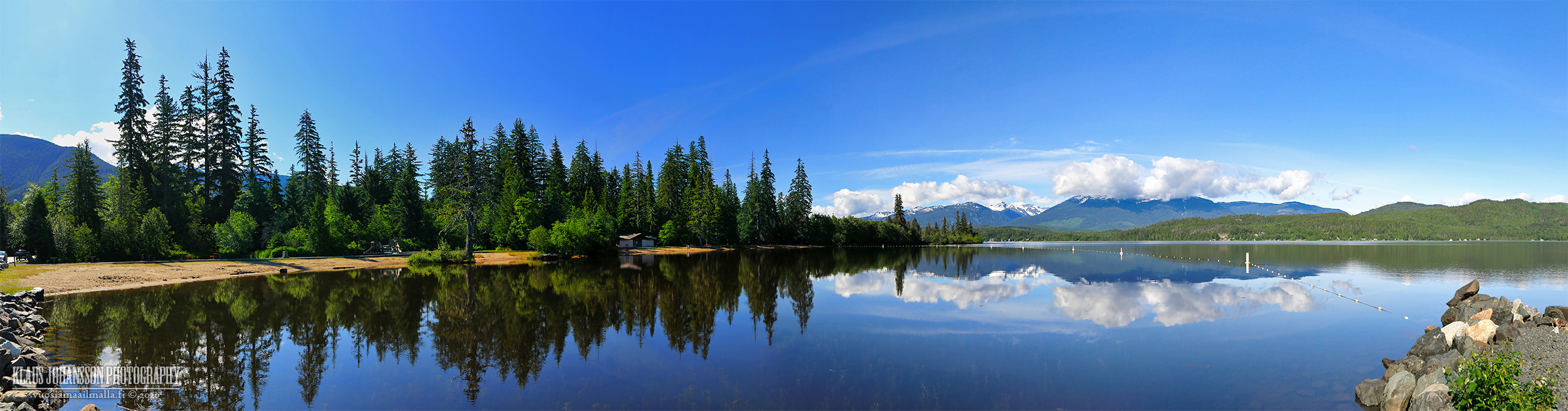
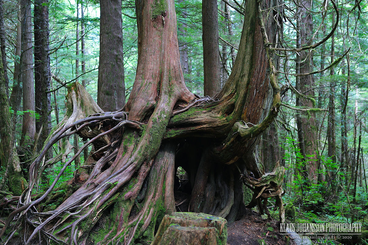
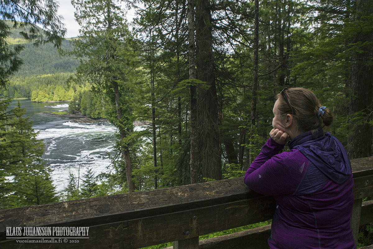
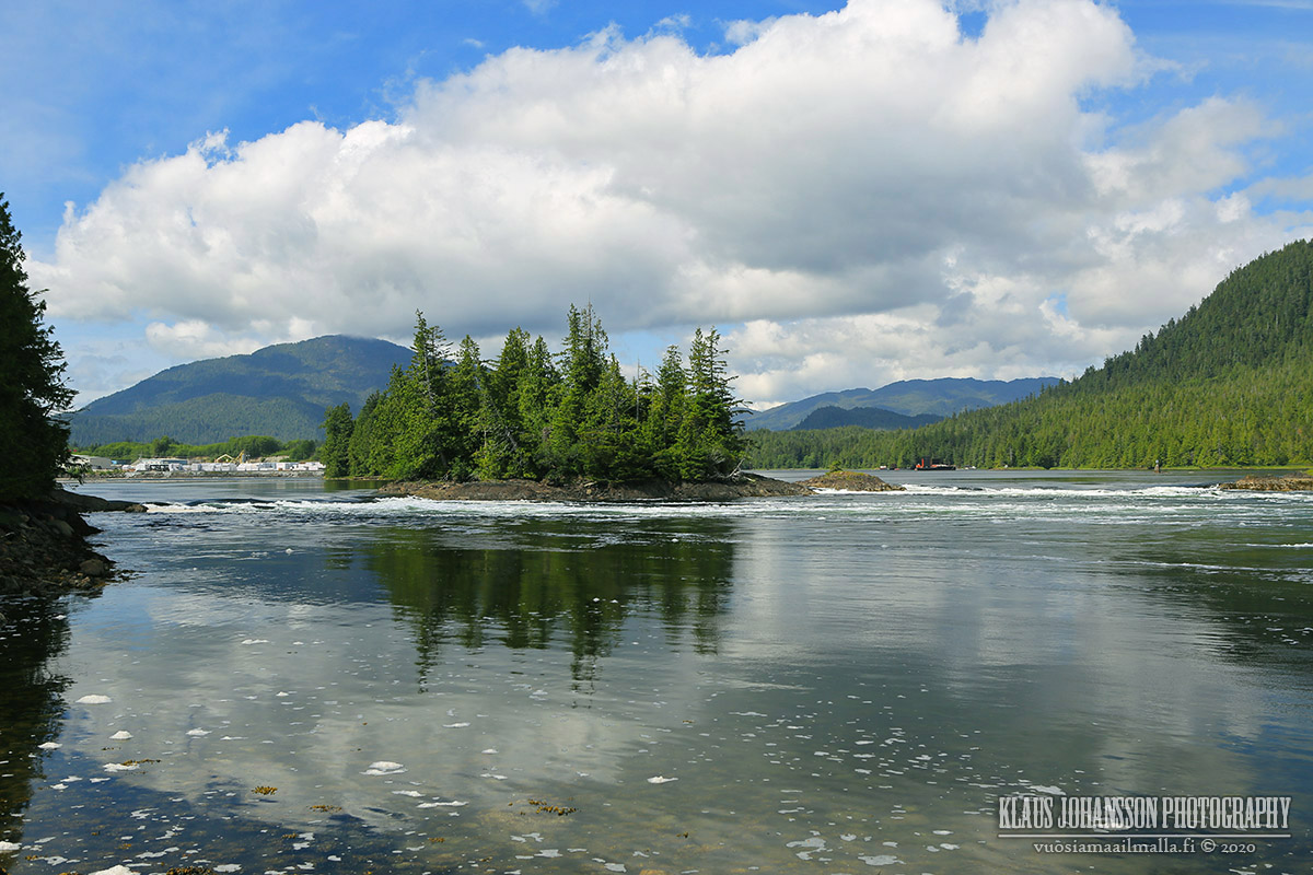
Thank you all for your kind comments! Here is one more photo set to this trip.

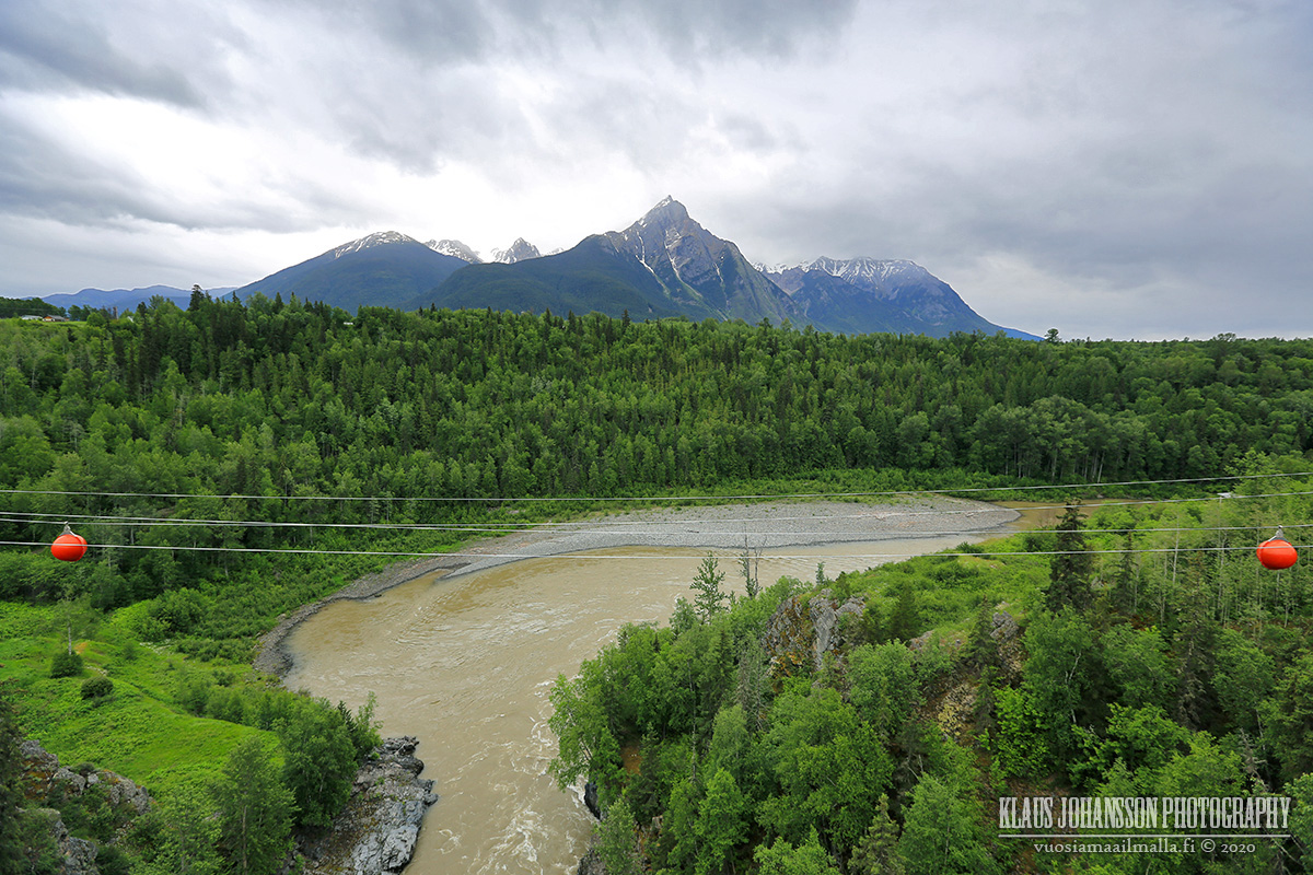
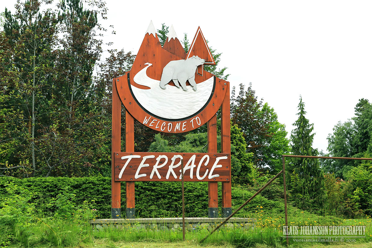
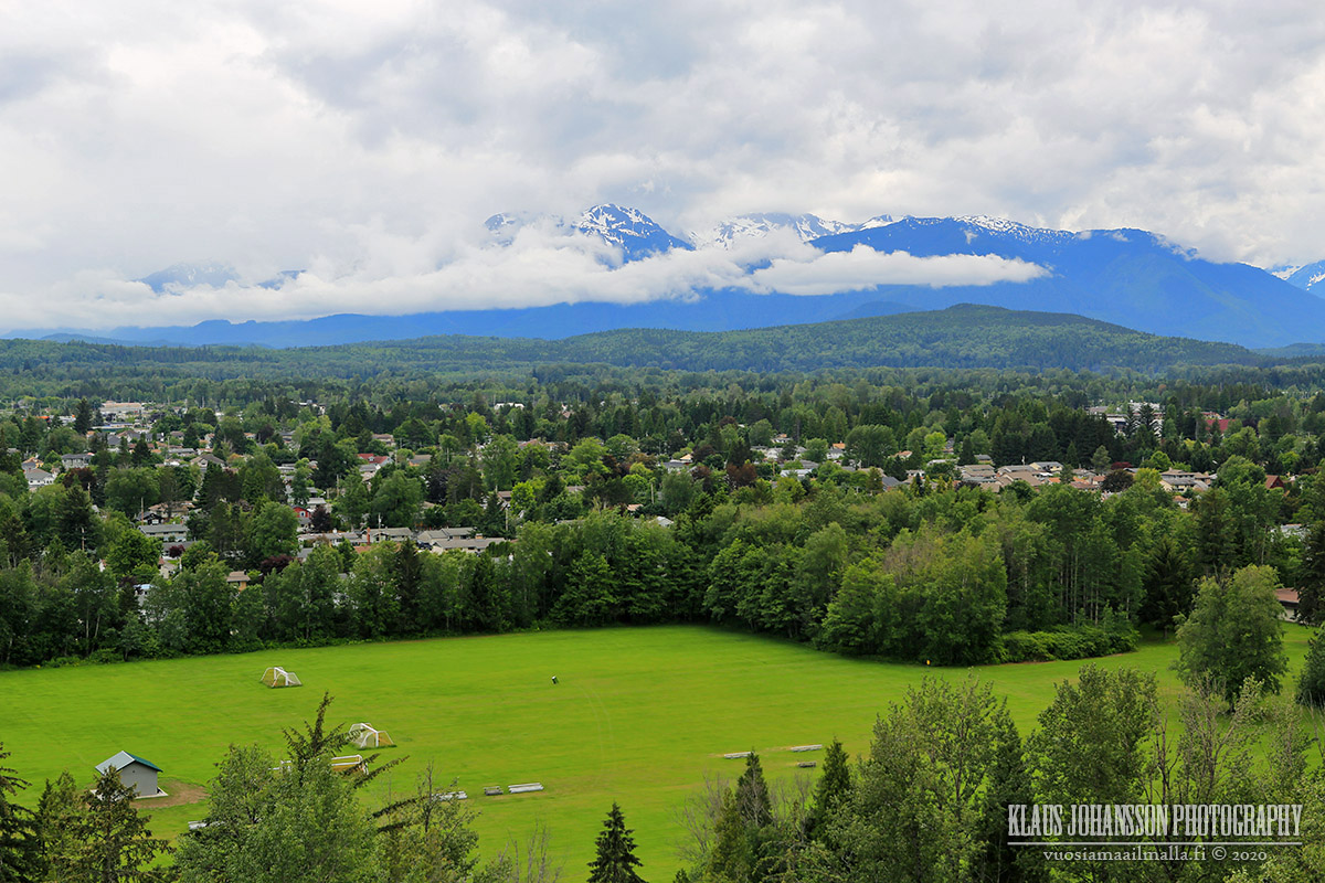
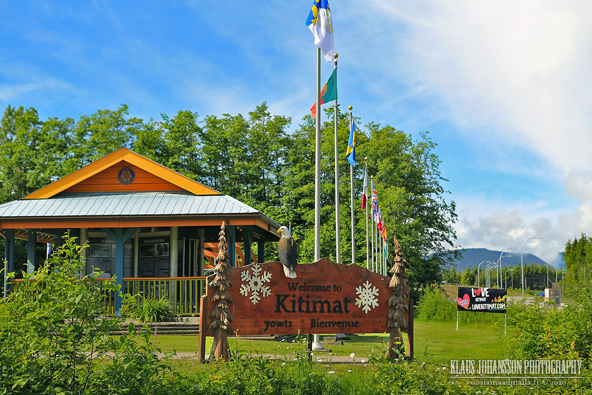
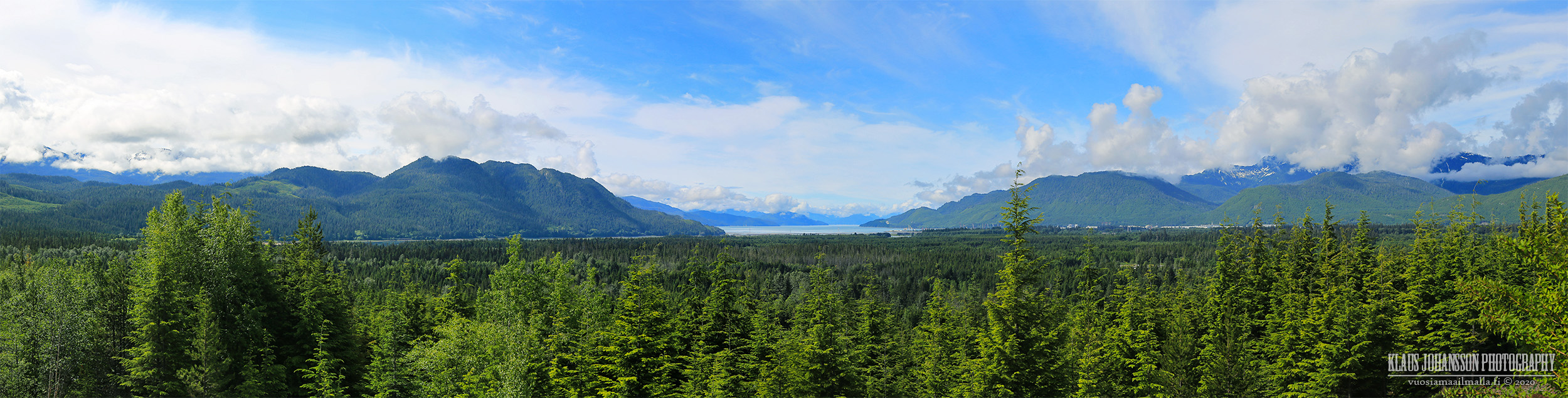
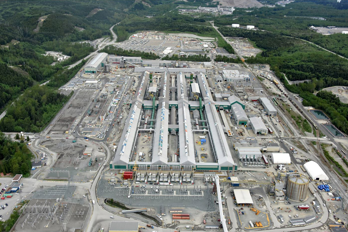
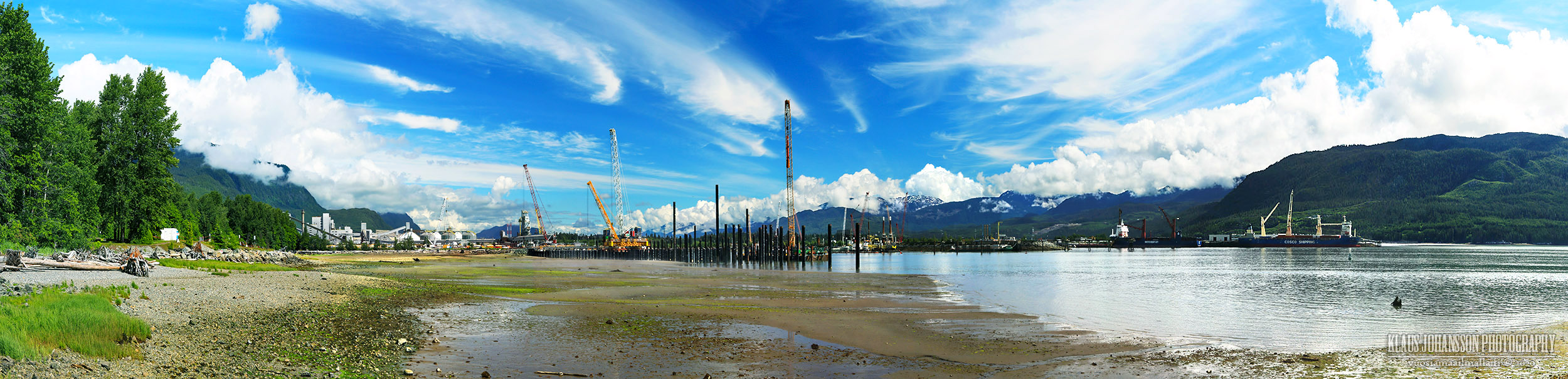
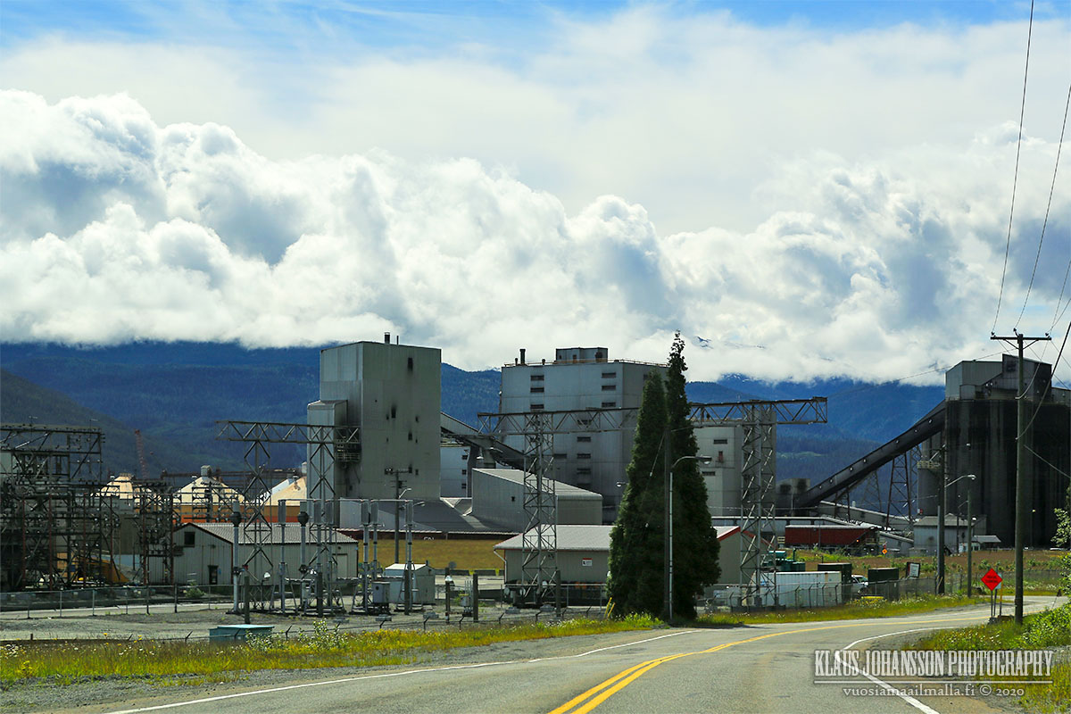
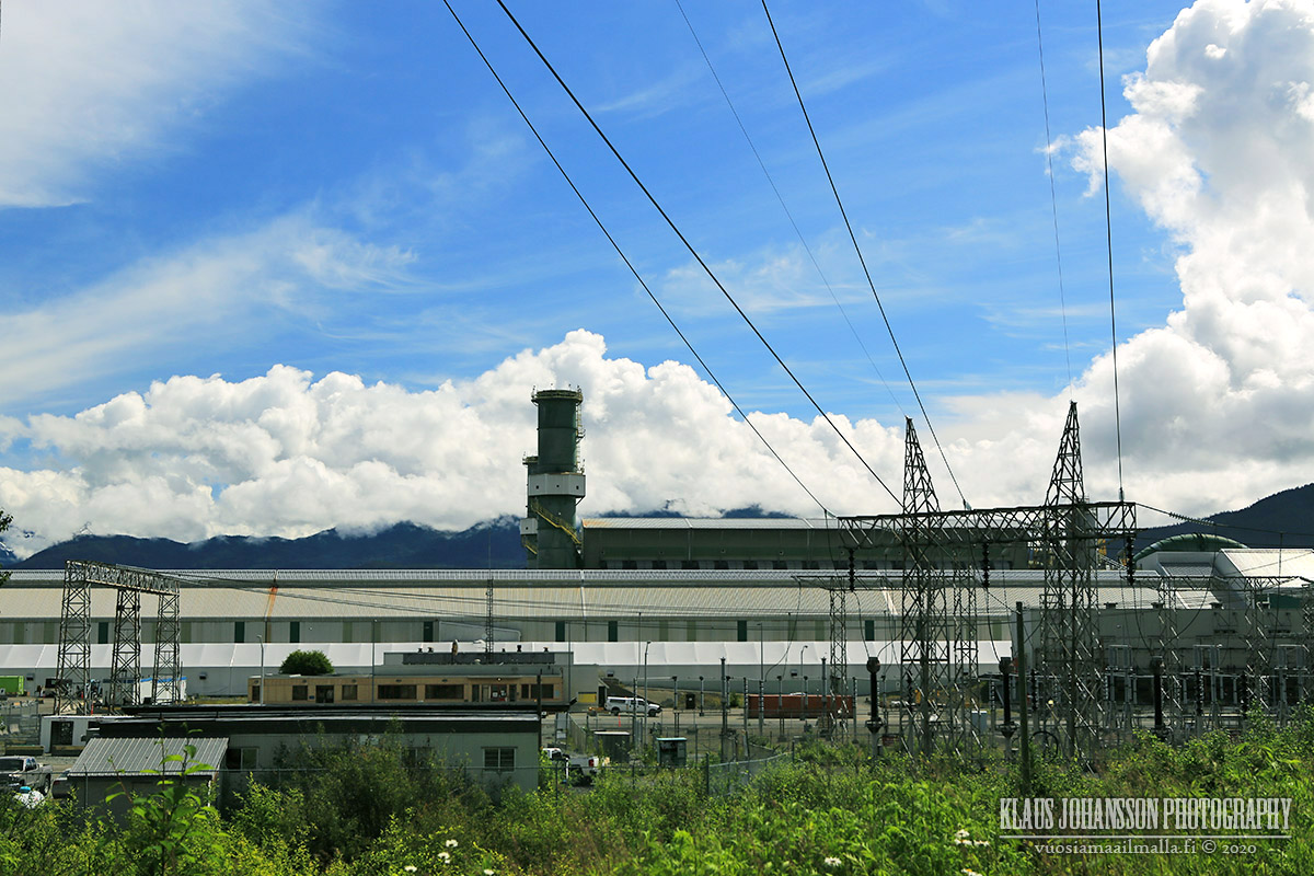
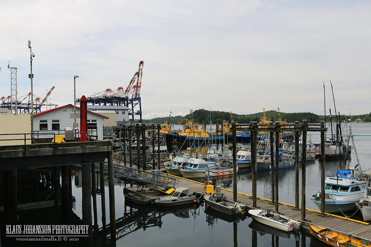
After spending few great days in the Terrace area, it began to be time to head back home. Before embarking on the long trip home, there was still one more place to check out...

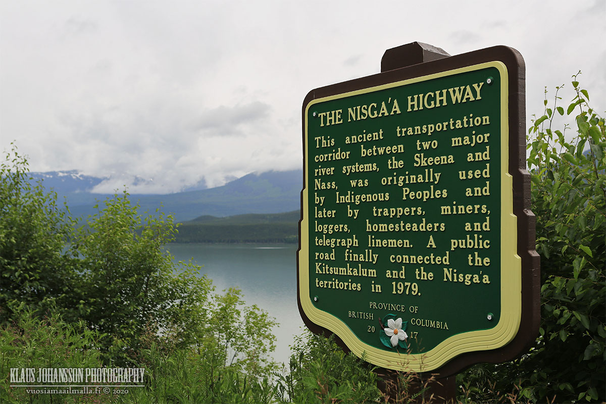
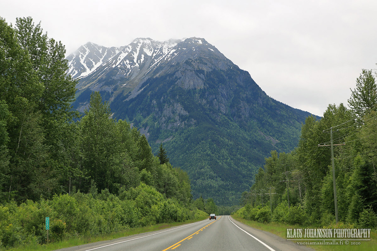
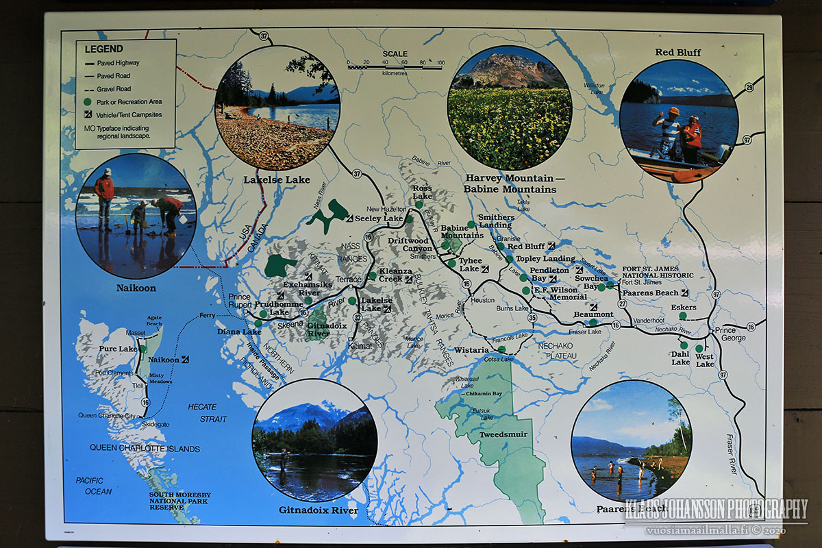
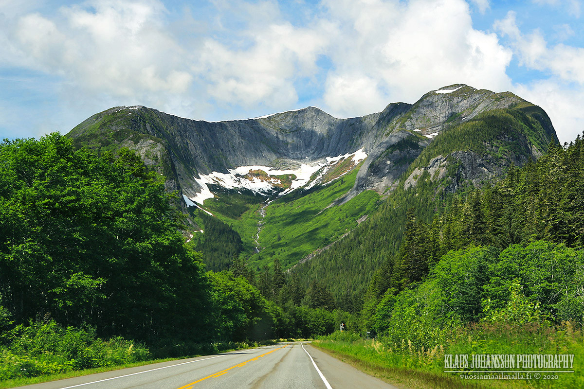
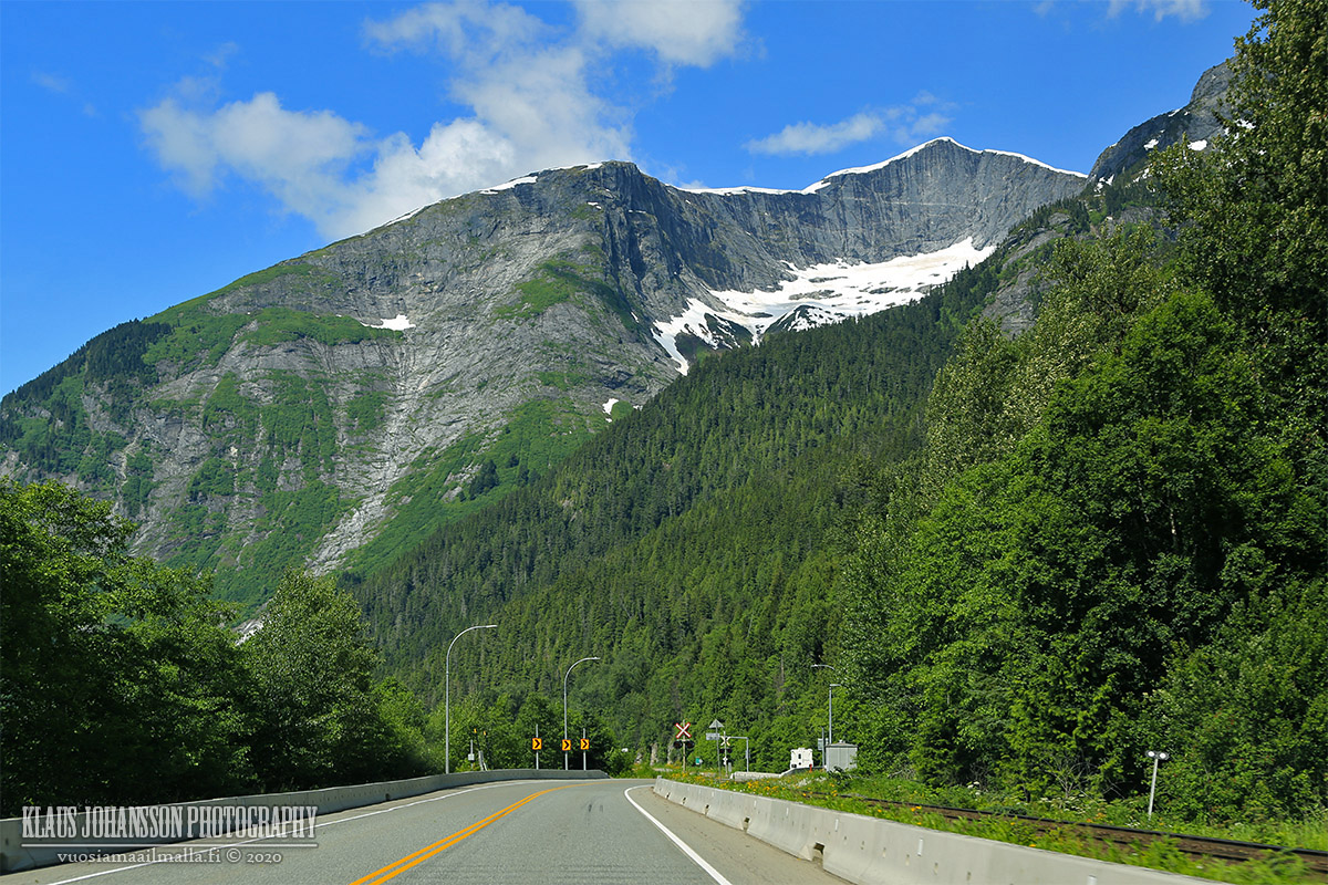
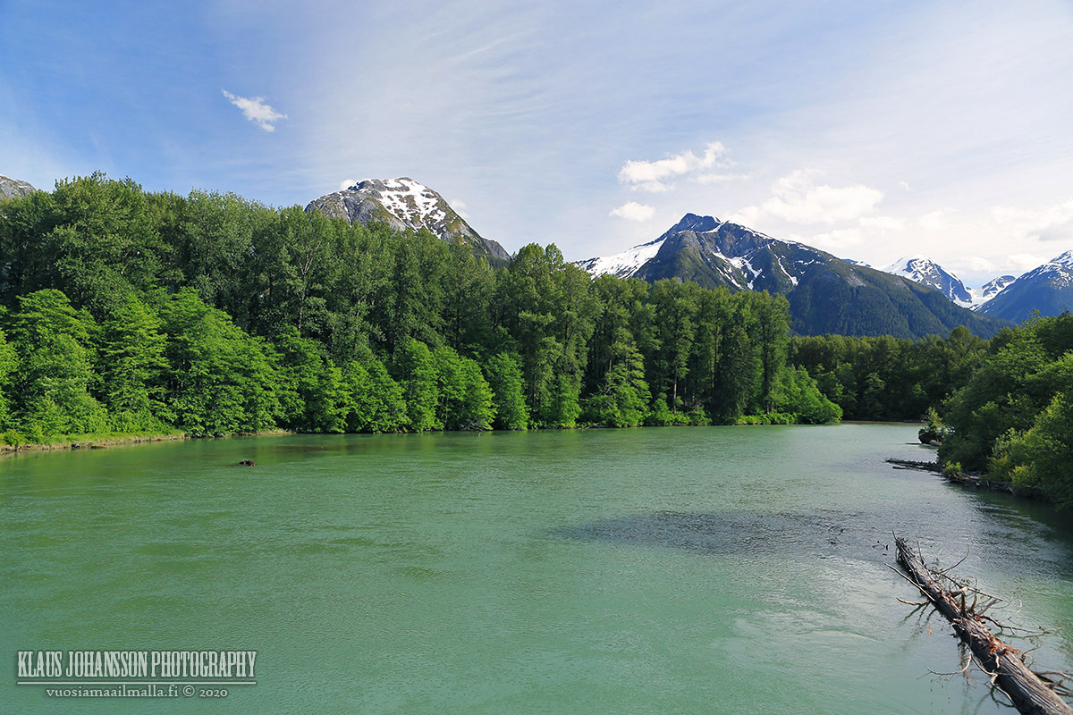
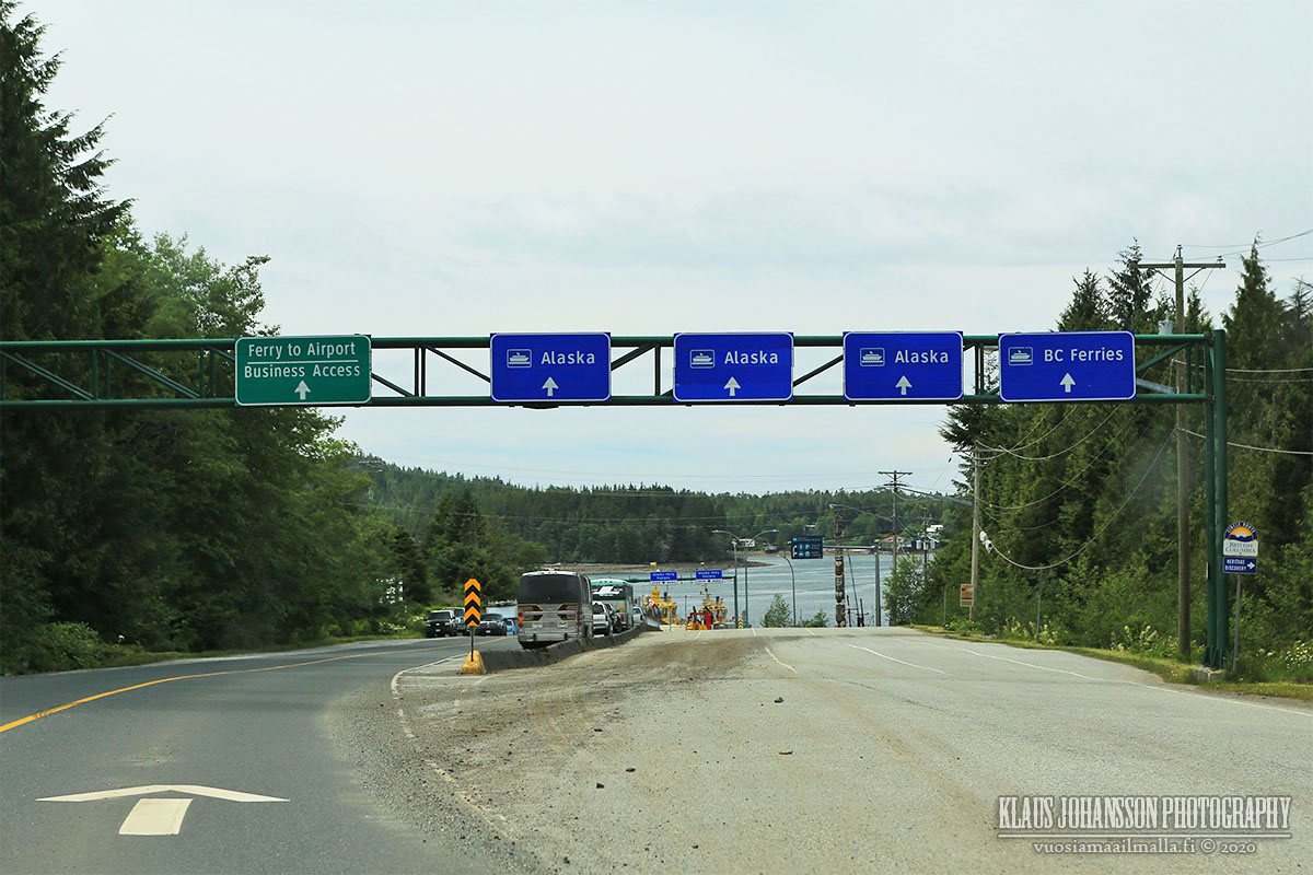
From Terrace it is possible to head in all four directions and the less-traveled road heading north is known as Nisga'a Highway .


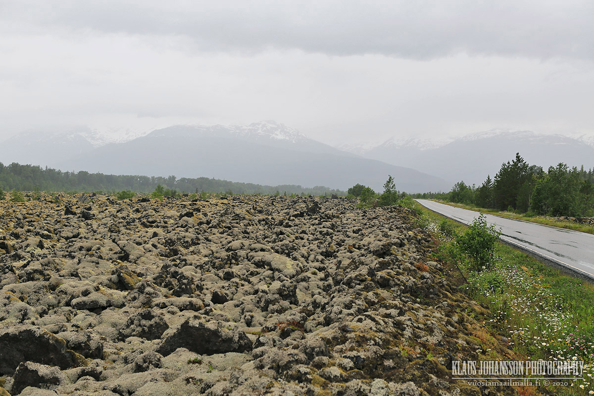
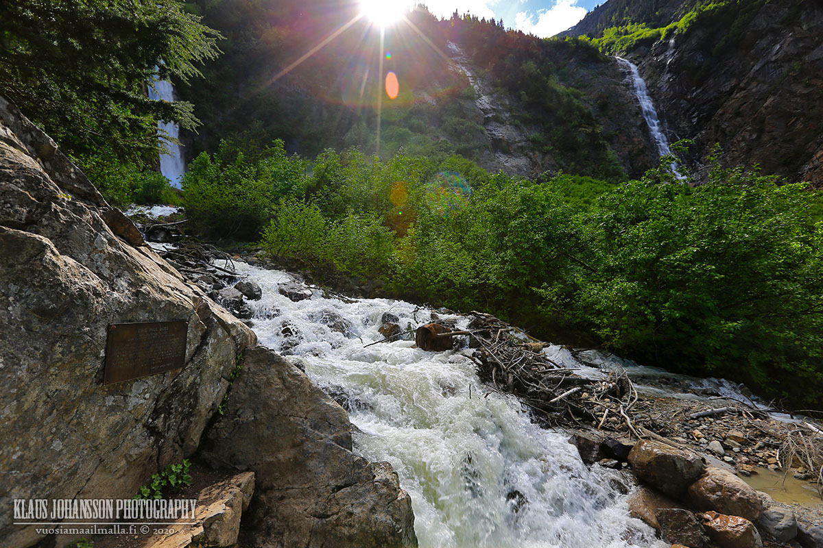
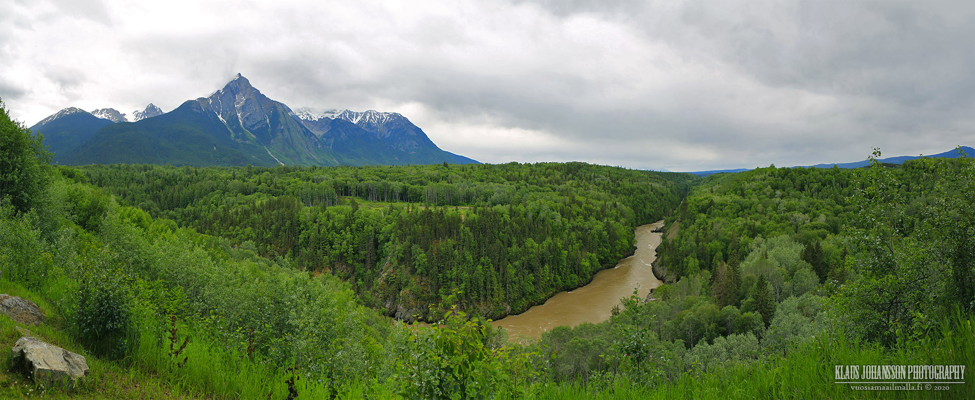
Nisga'a Valley is the place of the worst natural catastrophe in the Canadian history. Over 2,000 people are estimated having perished in the violent eruption of Tseax Cone cinder volcano which flooded the entire valley under metres of fast-moving molten rock.


The eruption is estimated to having taken place on year 1700 and likely had a connection to the Cascadian Megaquake of the same year. Since Europeans had not yet reached these remote parts of North America, the events of that time are only described in First Nations stories.

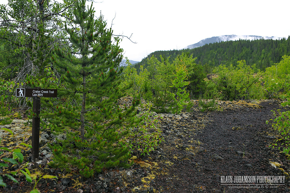
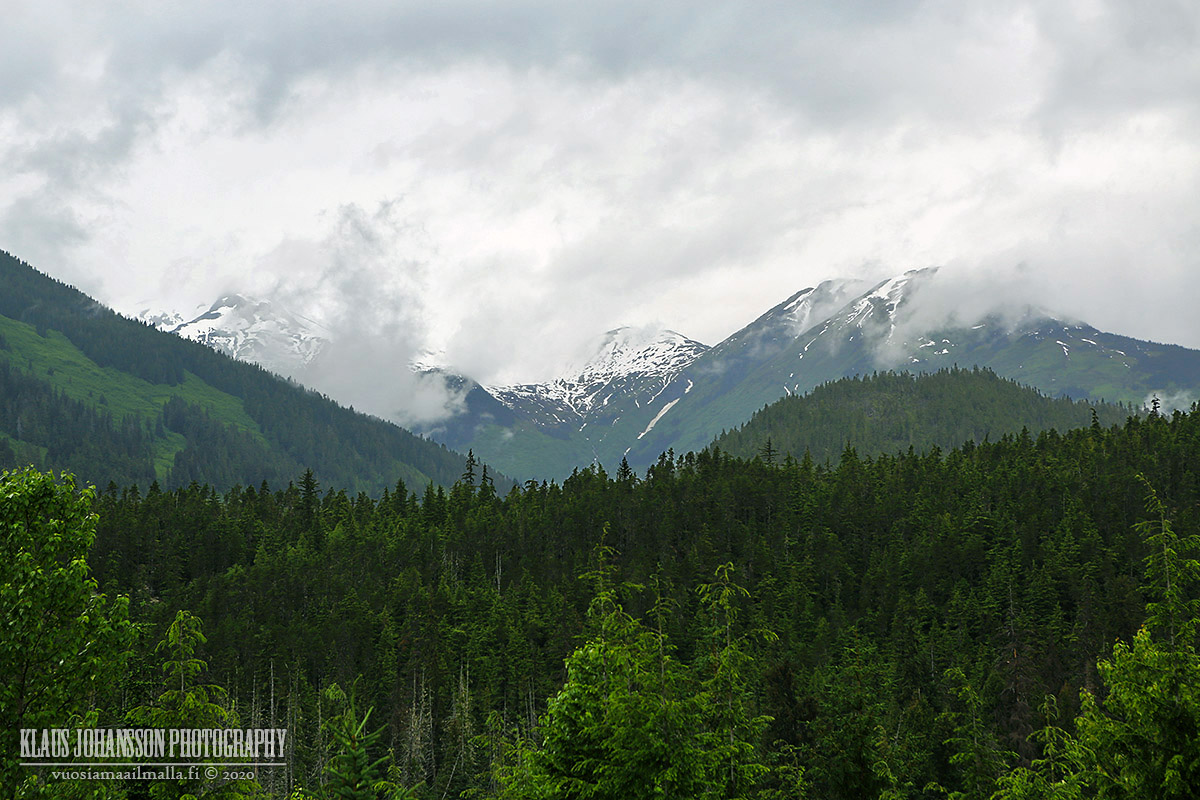
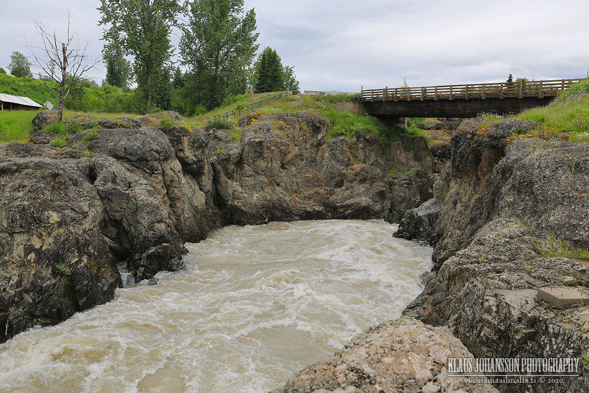
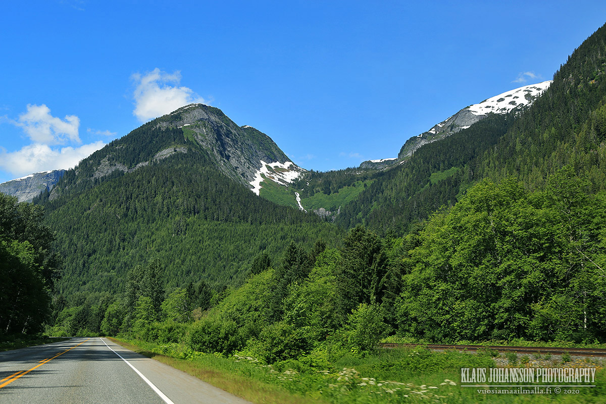
Even 320 years later the lava fields are still expanding the entire valley floor.


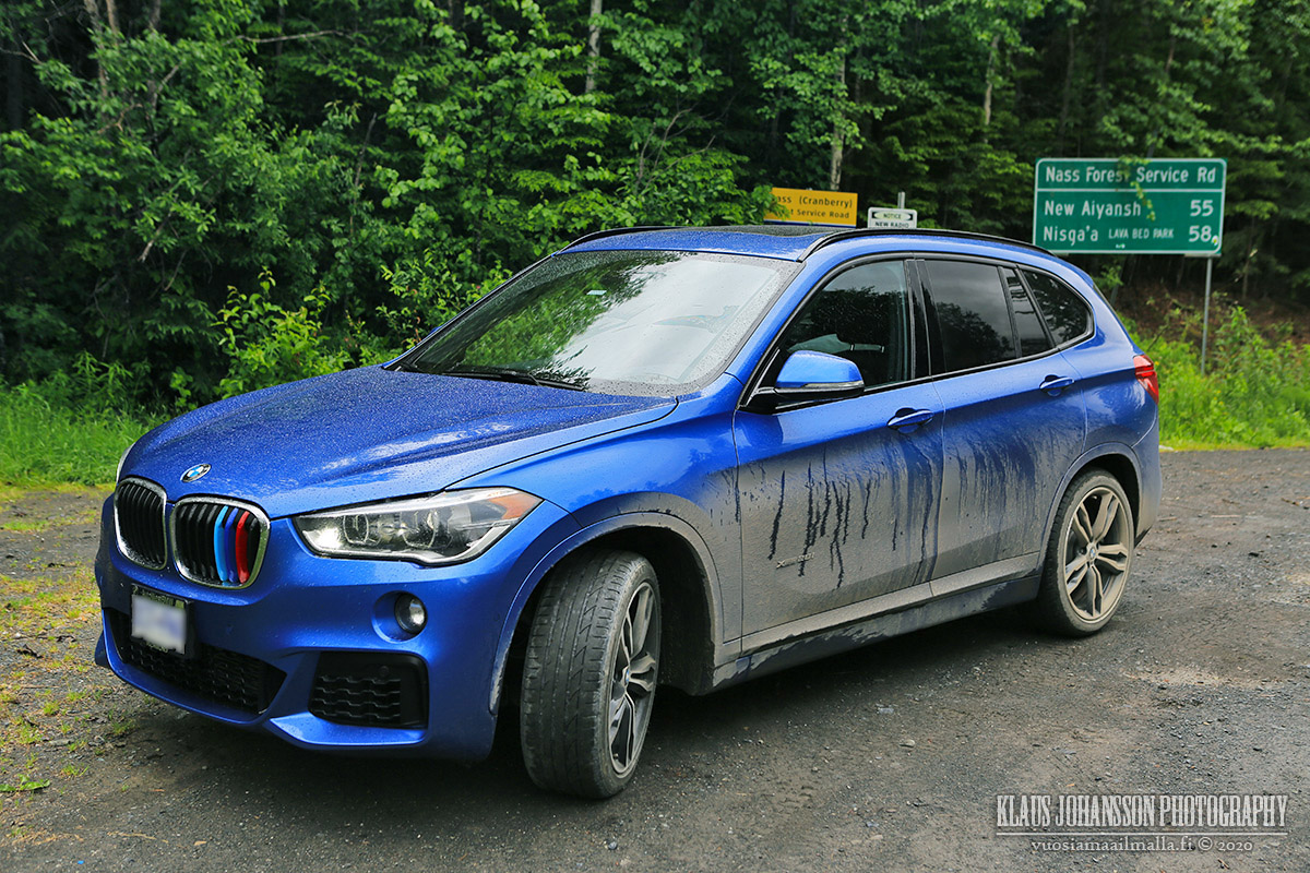
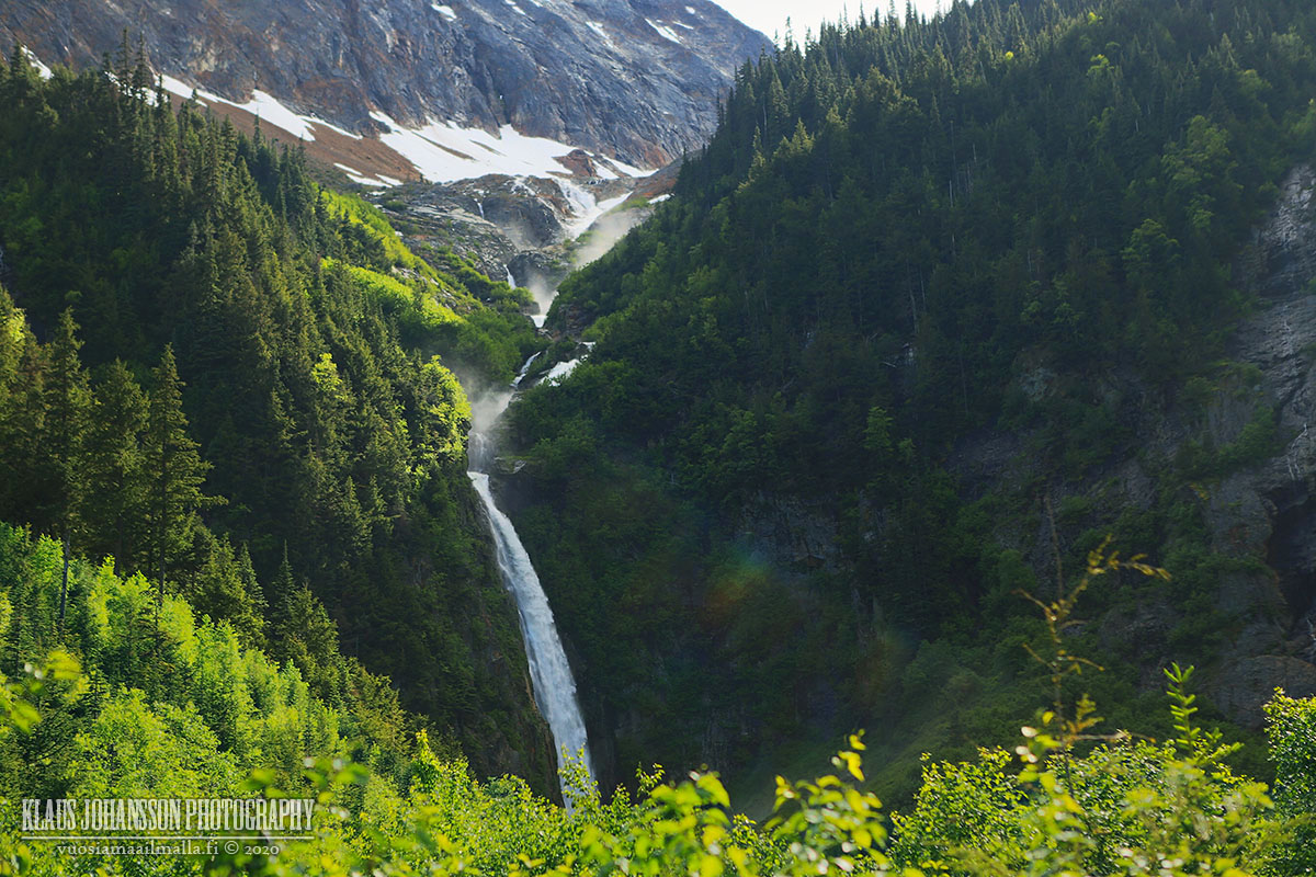
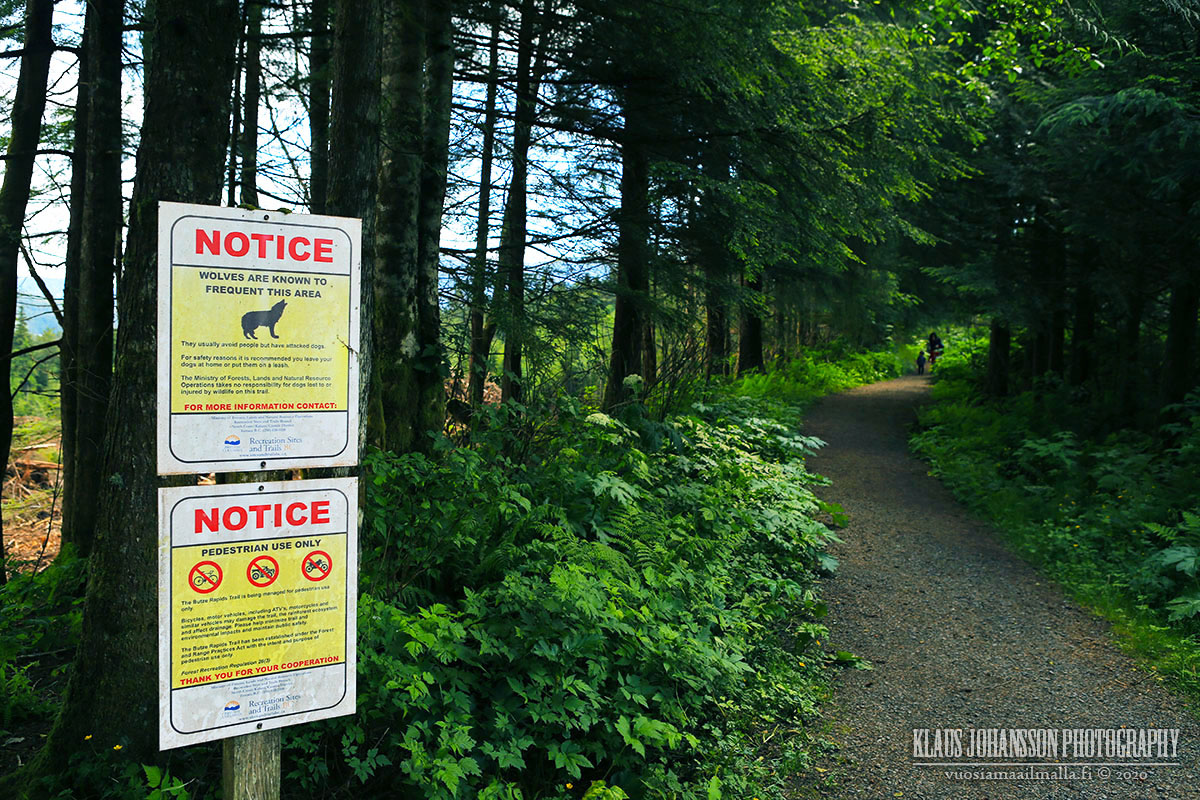
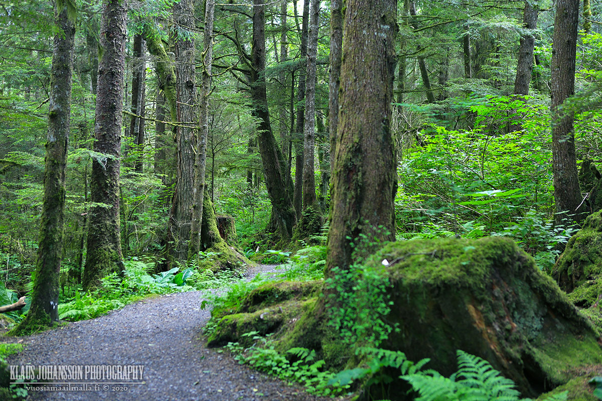
After the lava fields the highway turns into a forest service road. Should we have known better, we would have turned around and driven the long way back, as this is a very remote gravel road with lots and lots of potholes and bears everywhere.


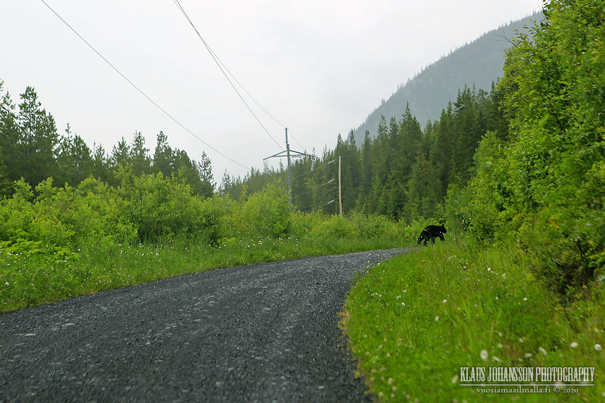
It was a long and slow 55-kilometre drive to Stewart-Cassiar Highway 37, but fortunately our old car could take the beating.


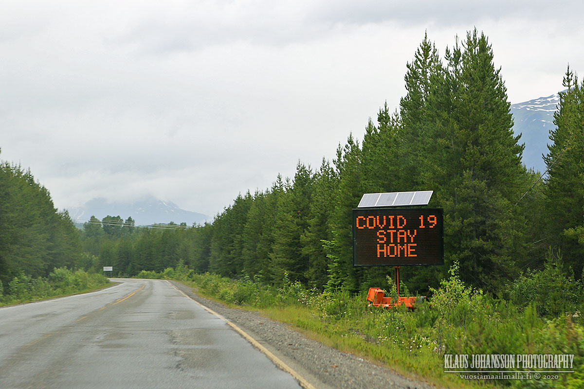
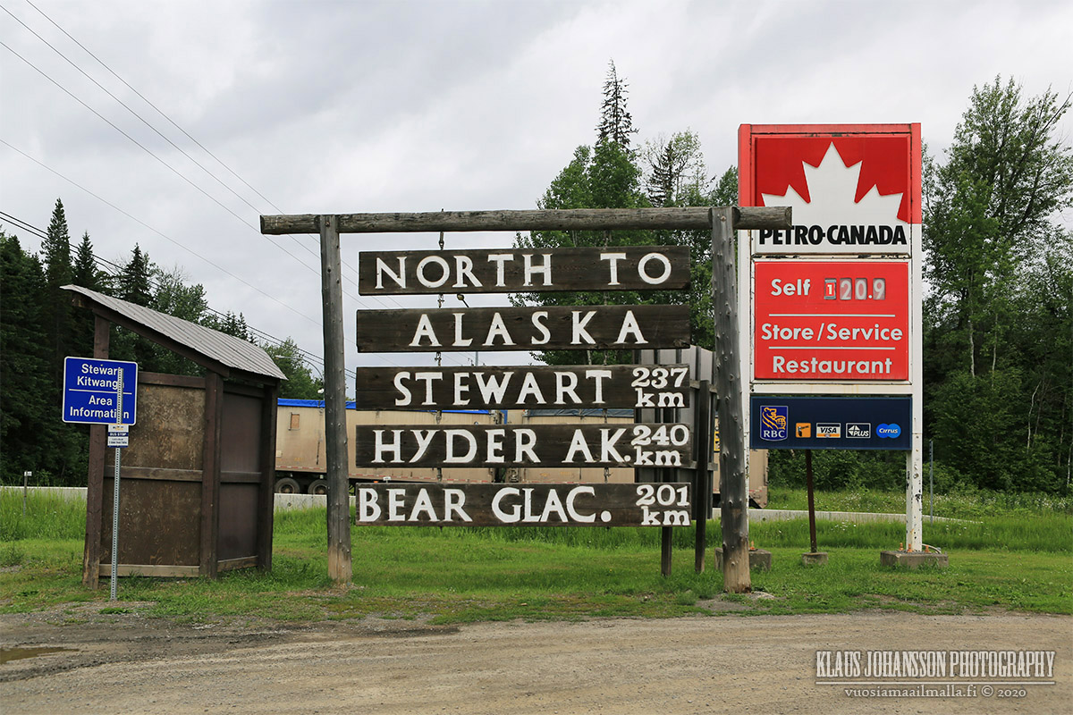
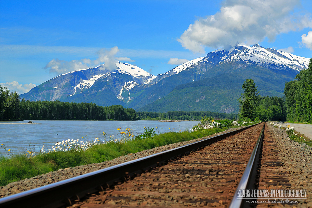
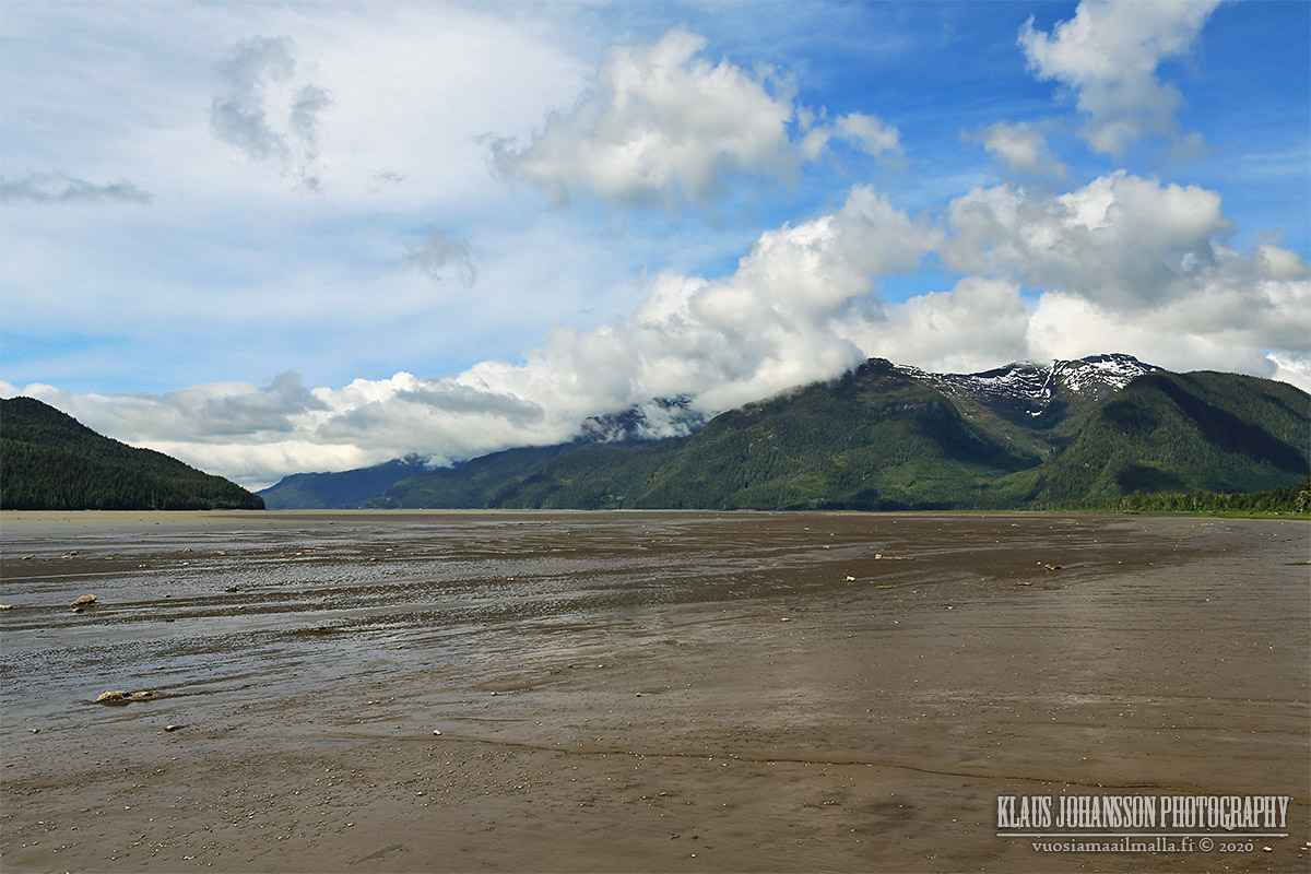
We came to be very close to the Alaskan border and southernmost Alaskan town of Hyder, but due to the weather and border being closed due to COVID-19, we didn't visit this time. Next time we will surely make a visit to our northern neighbor!


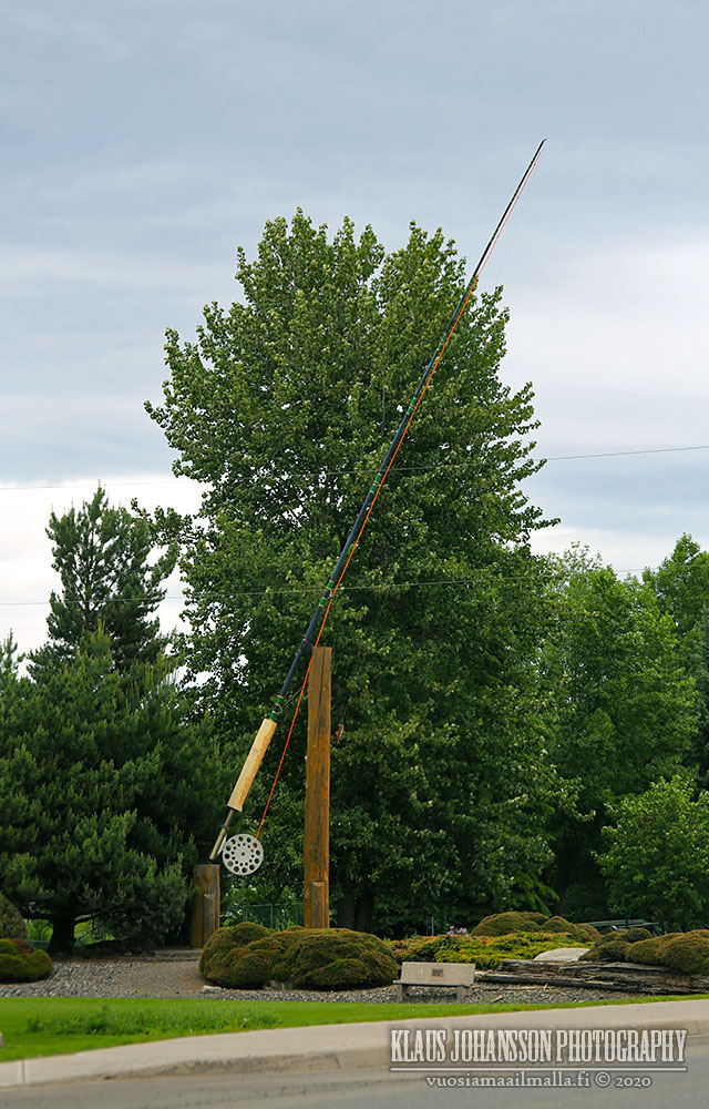
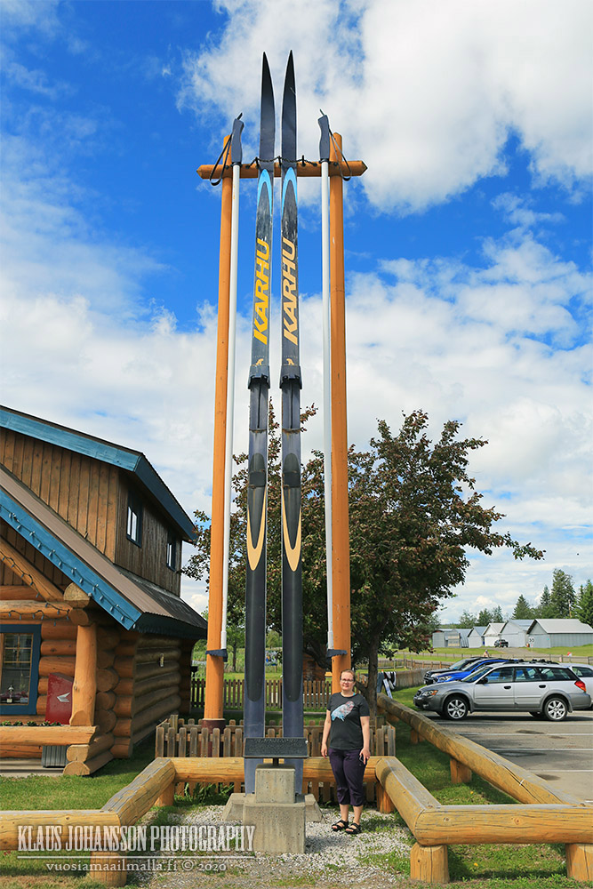
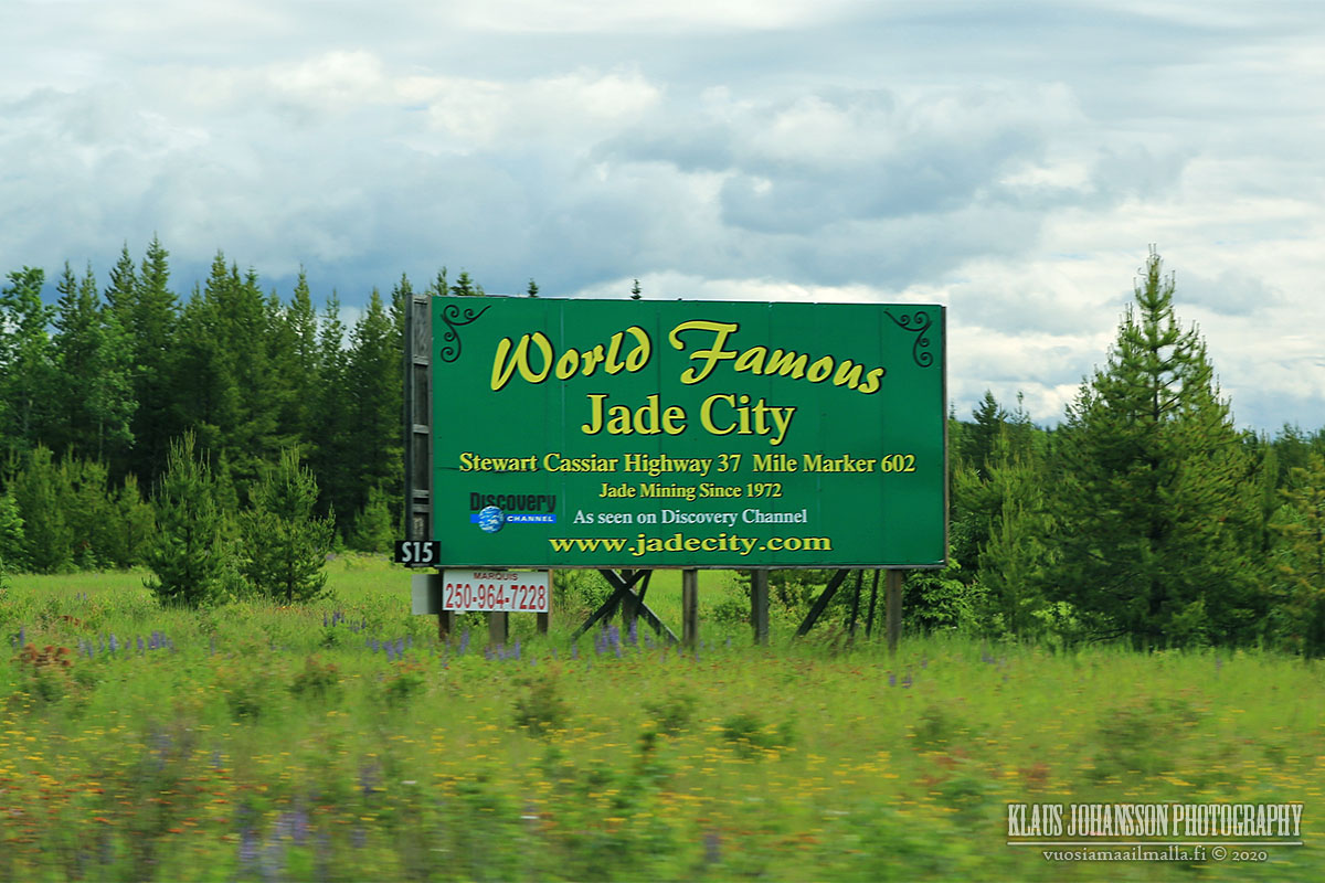
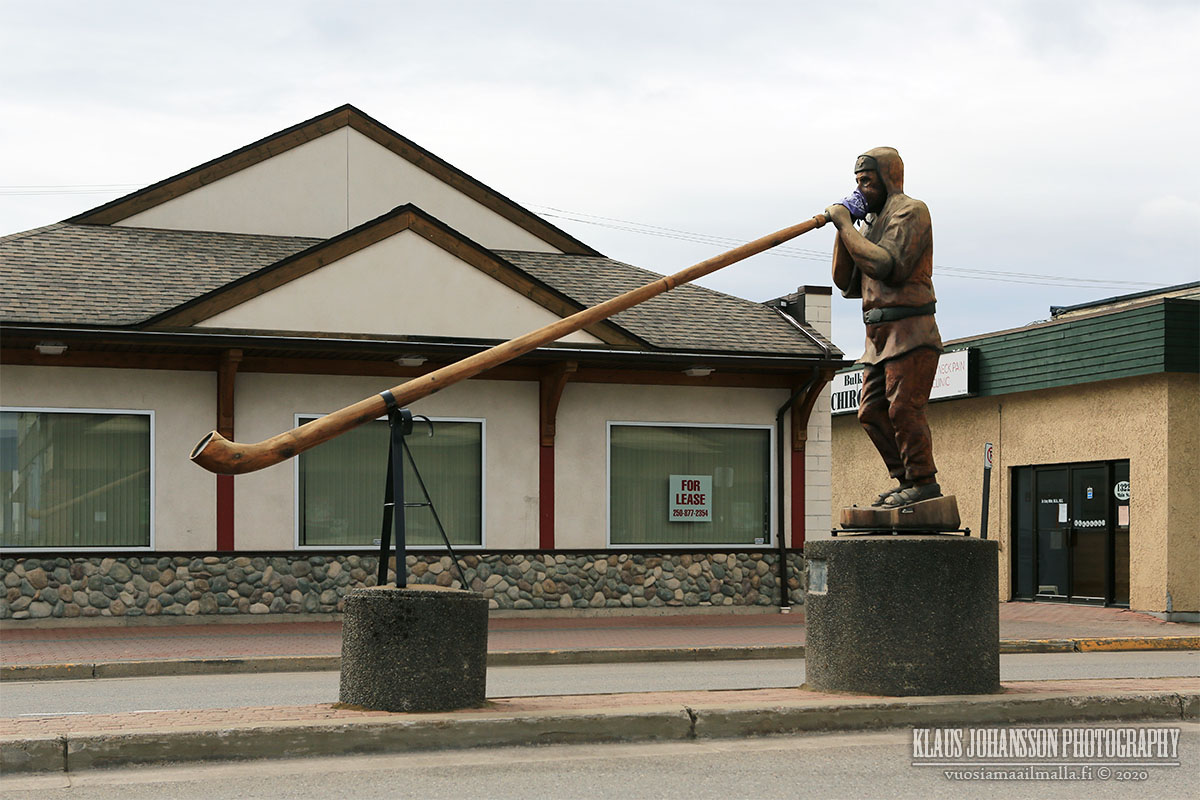
World's largest fly rod in Houston. Everything's bigger in Tex... Northern British Columbia.


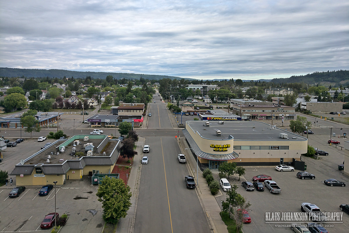
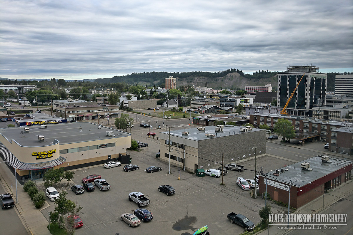
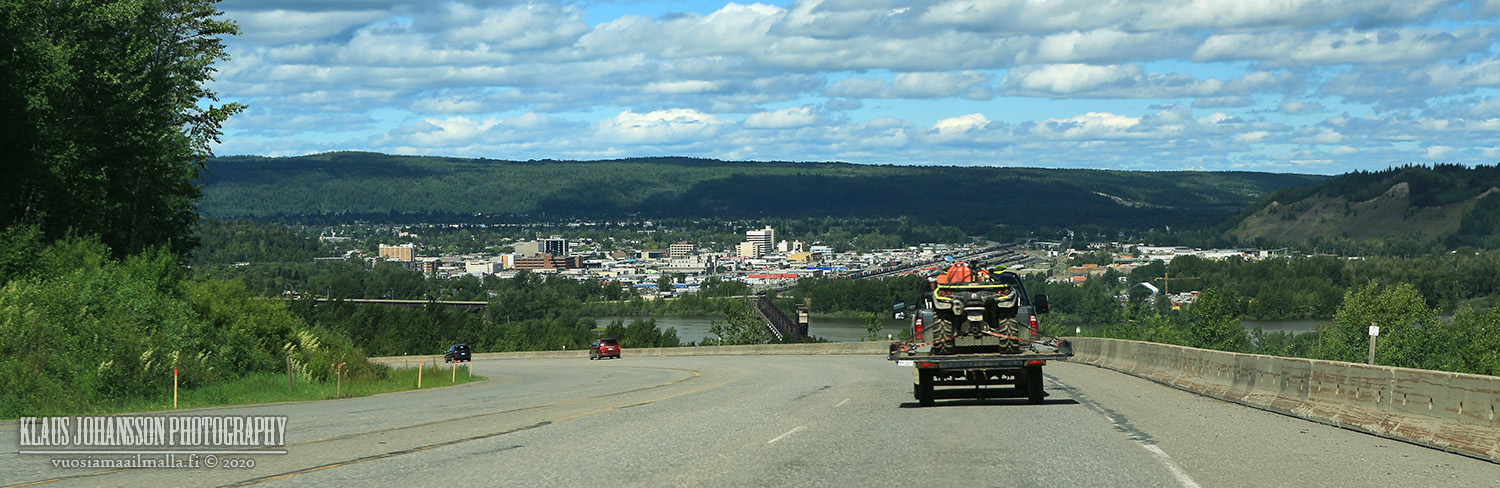
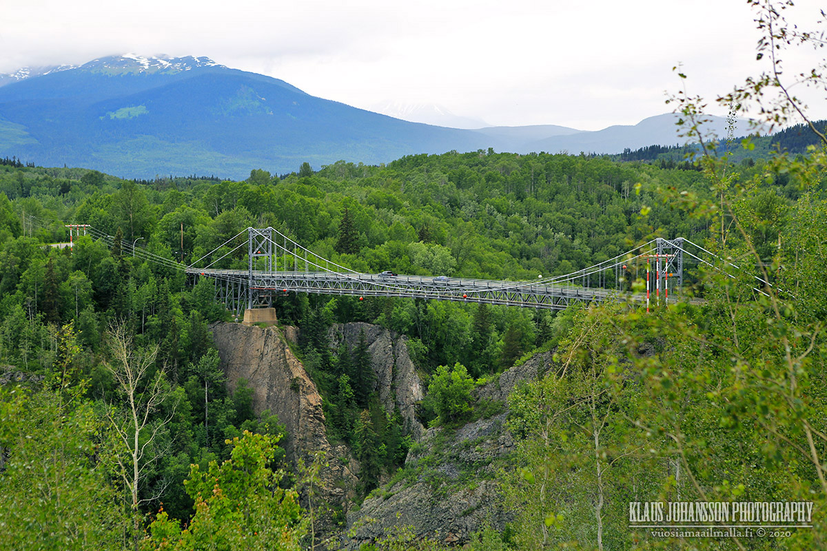
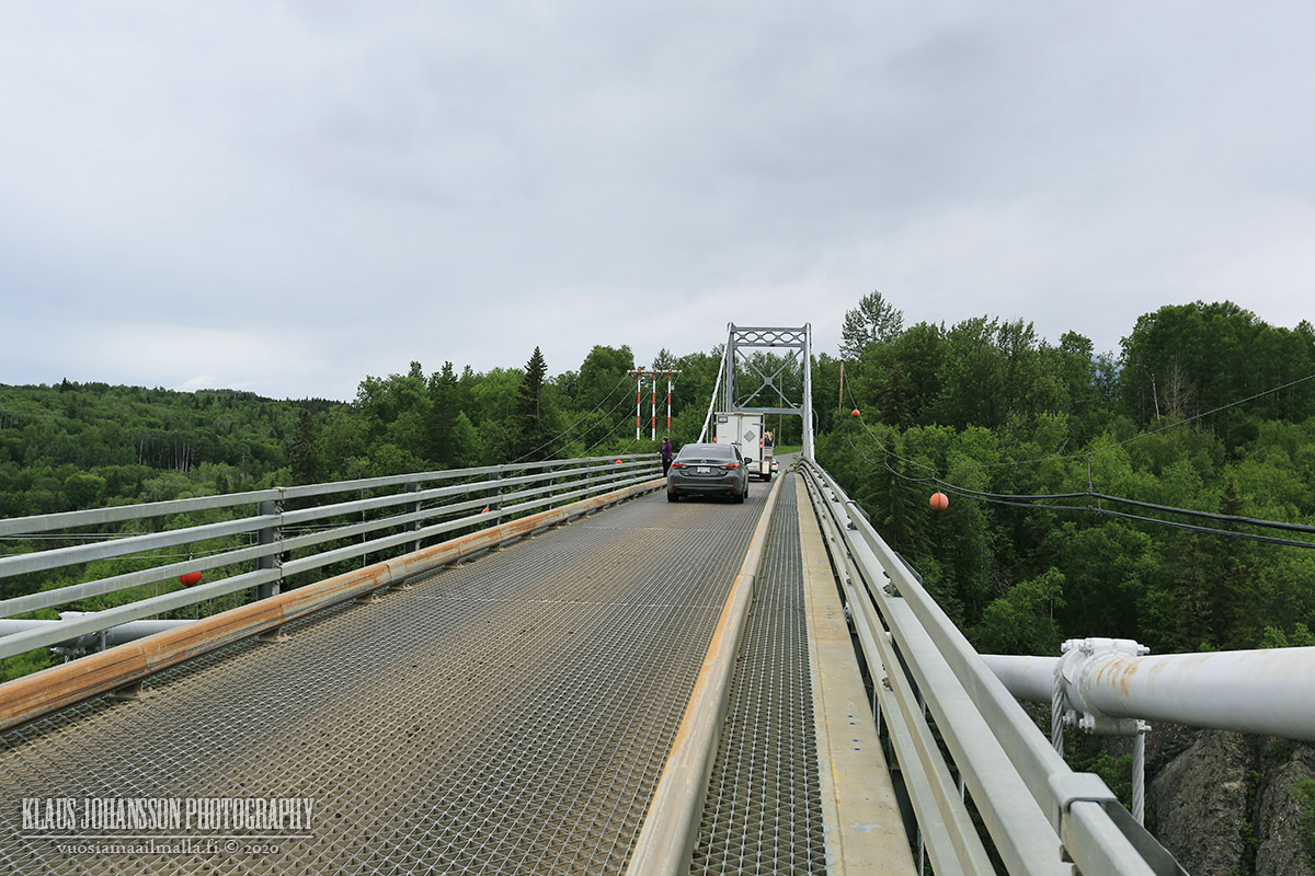
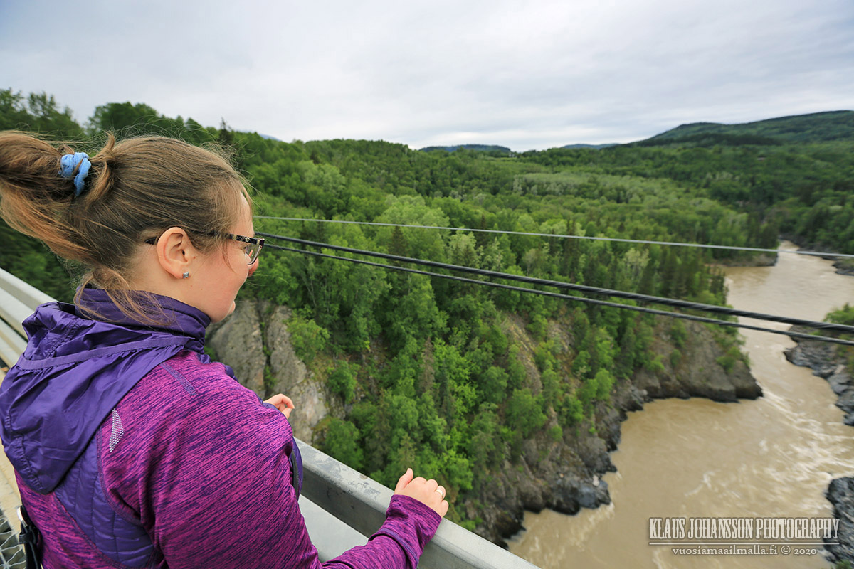
We decided to expedite our return to home and only made one stop in Prince George for the night.


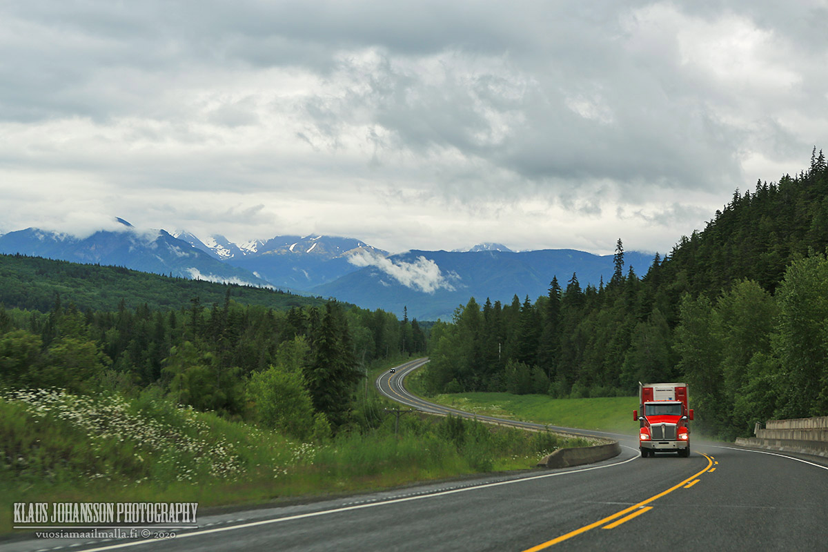
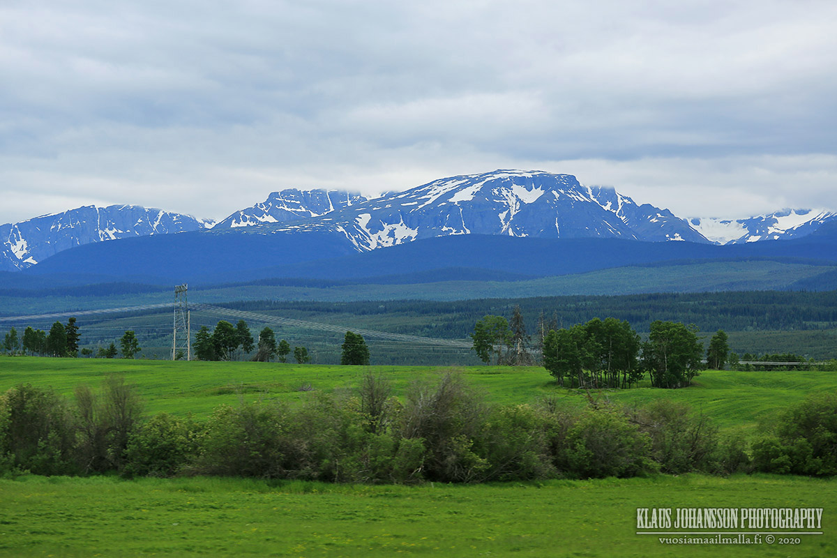
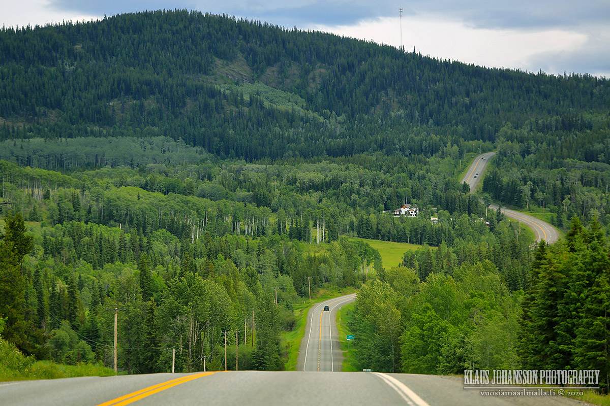
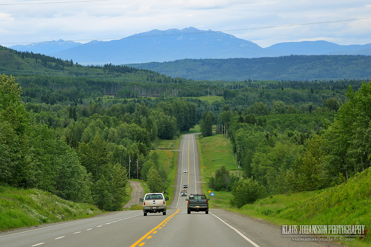
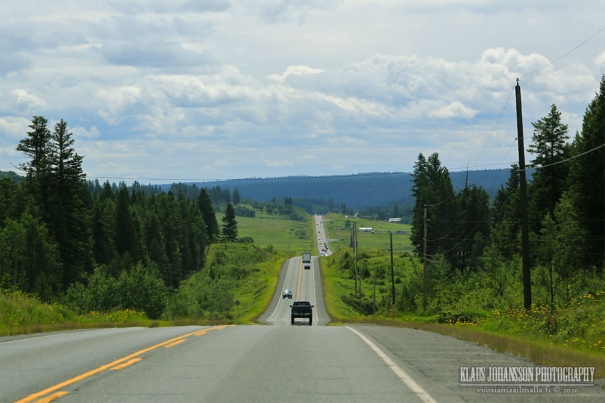
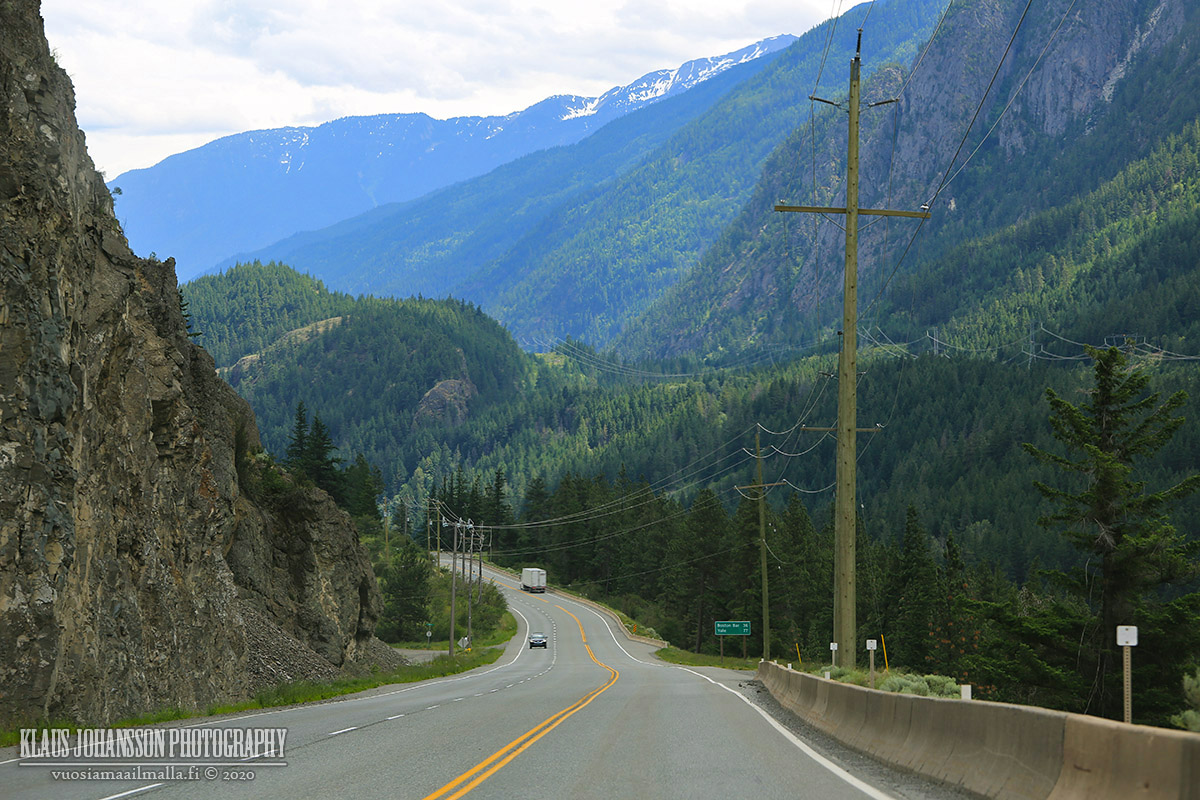
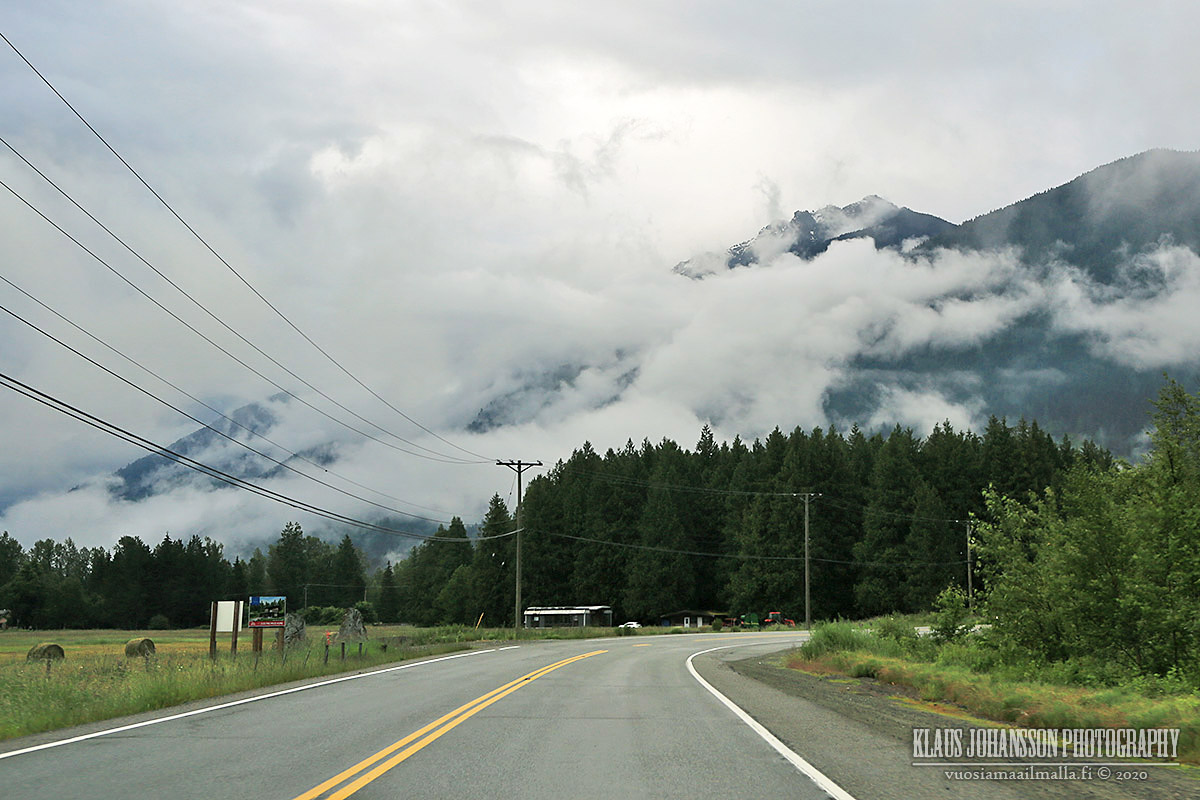
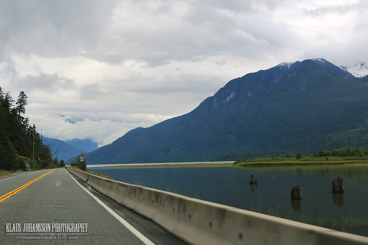
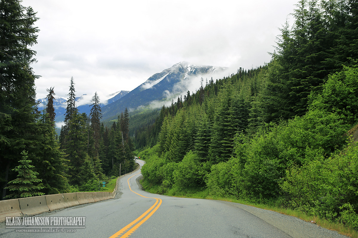
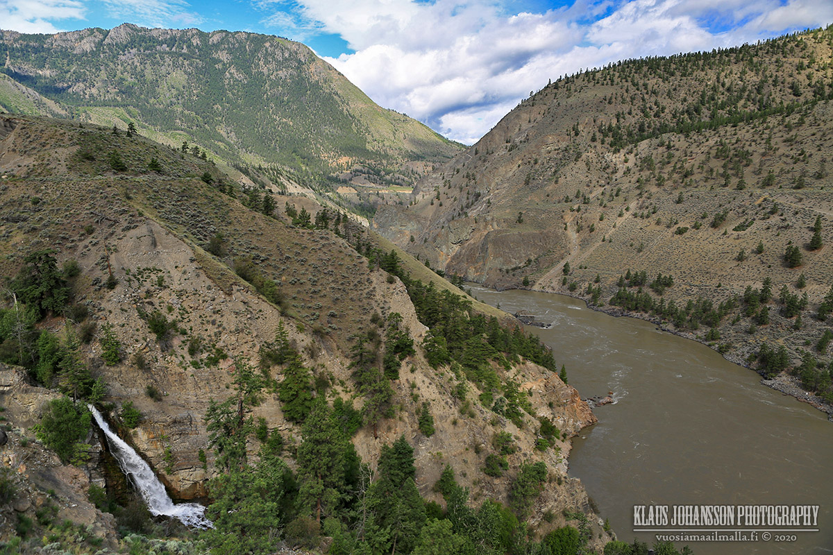
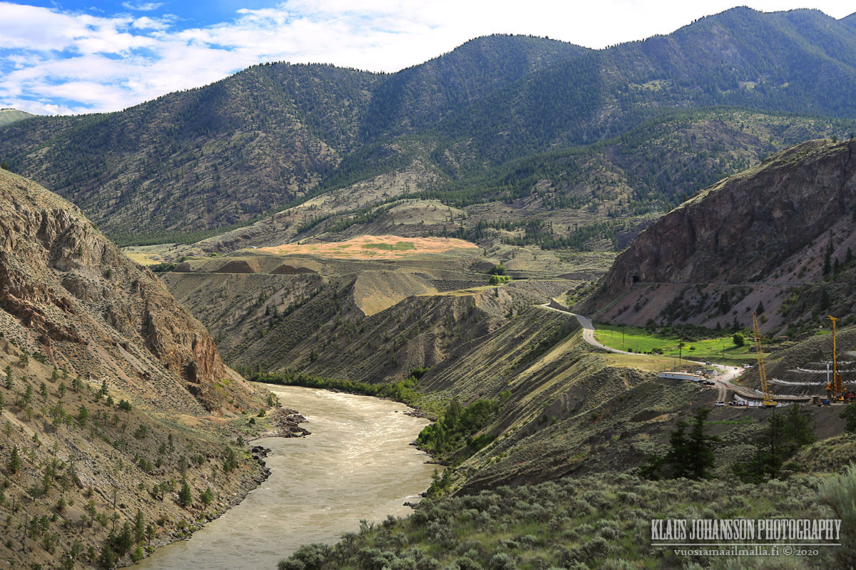
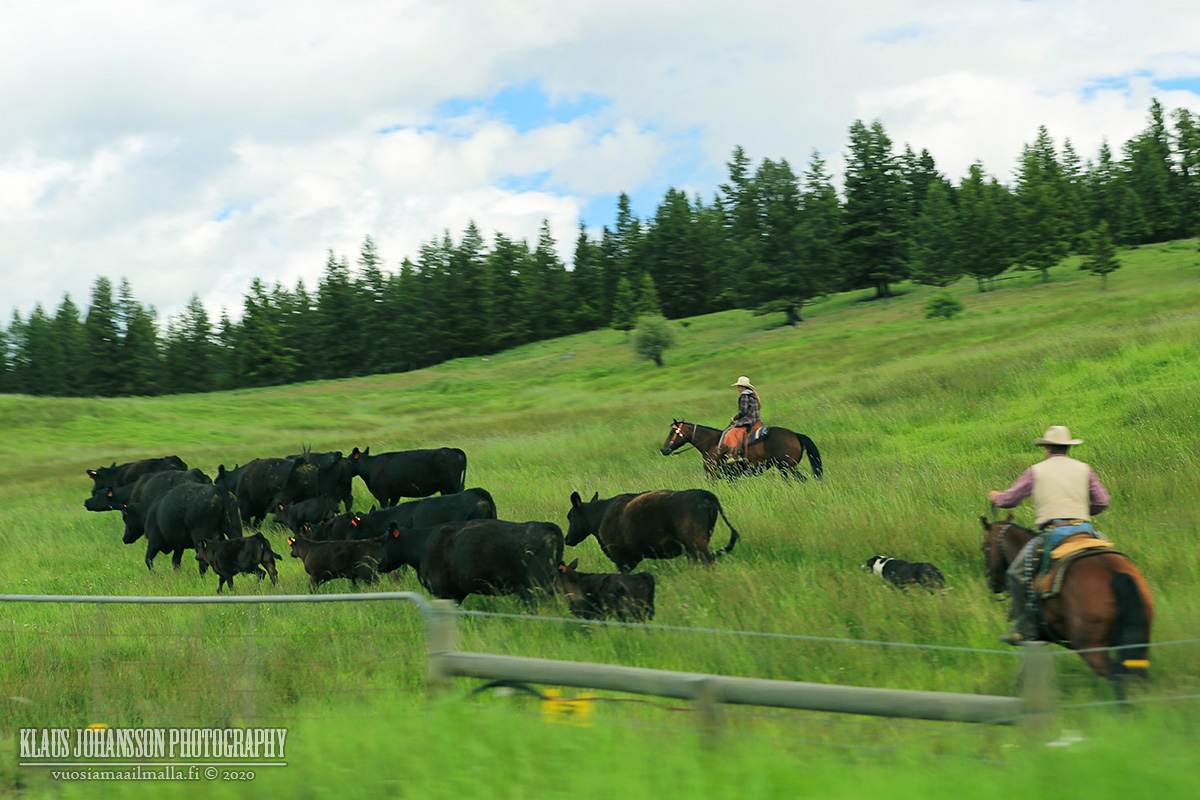
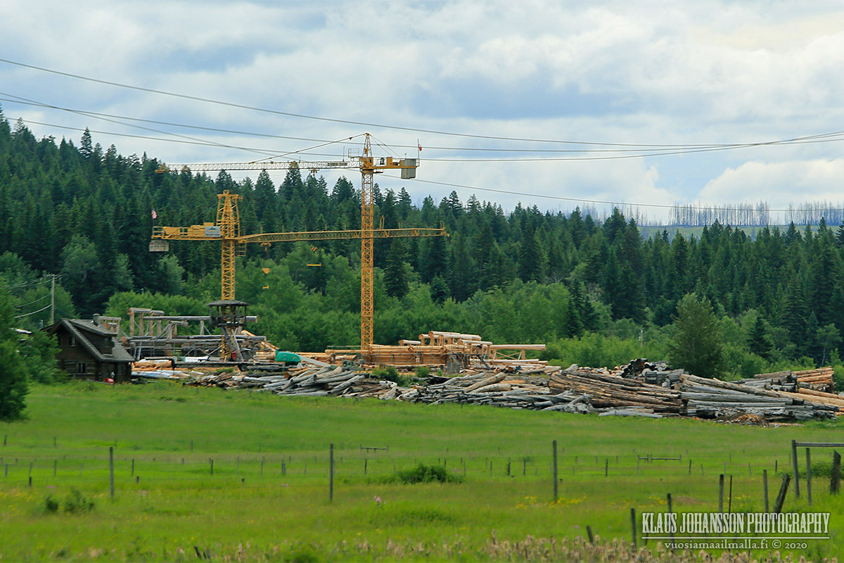
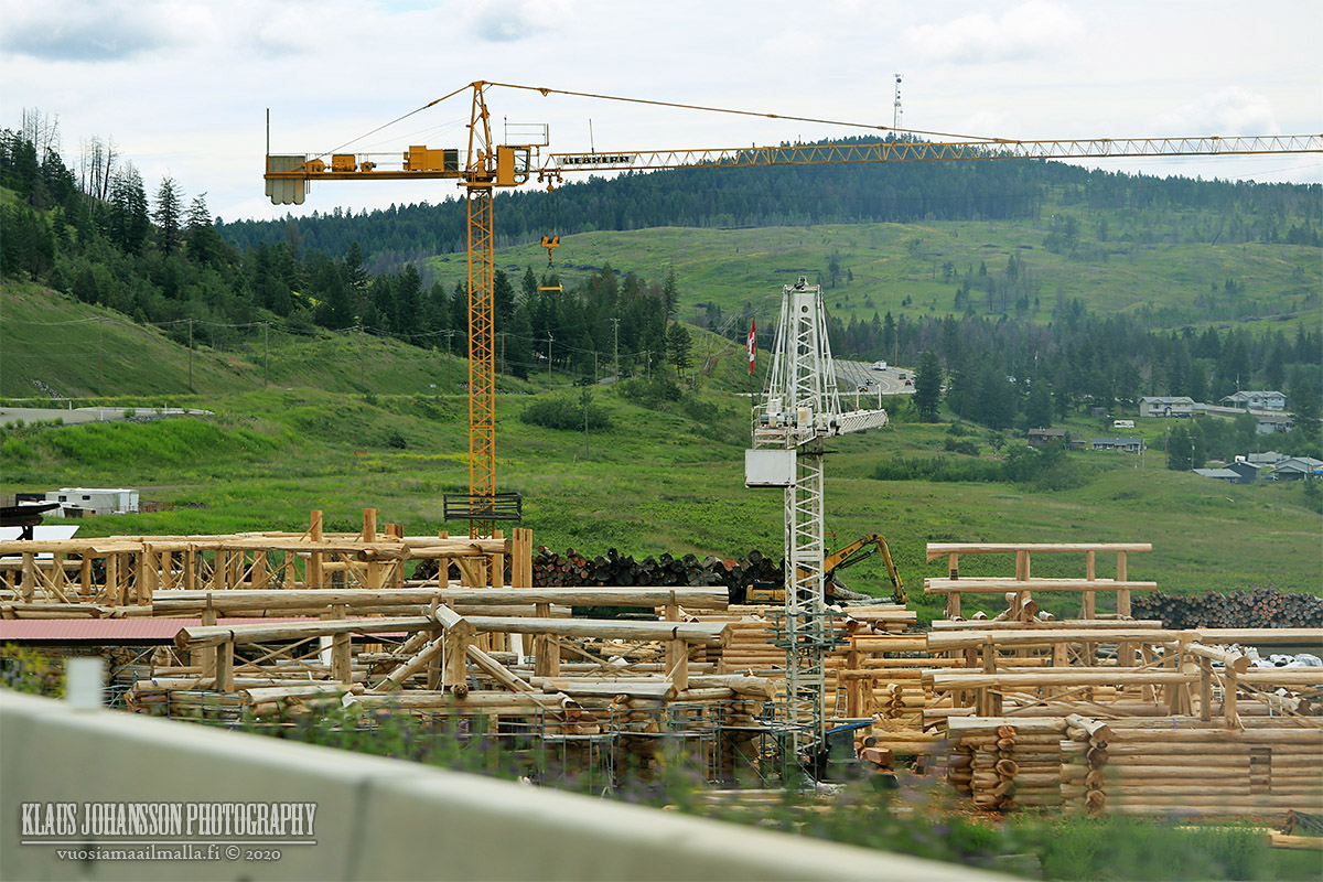
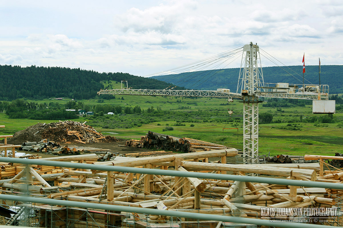
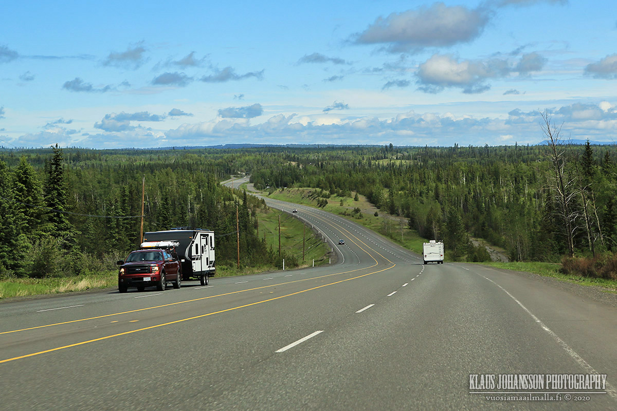
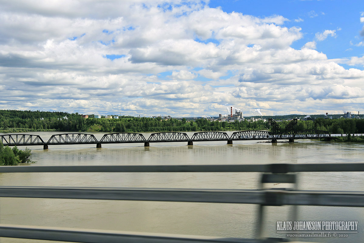
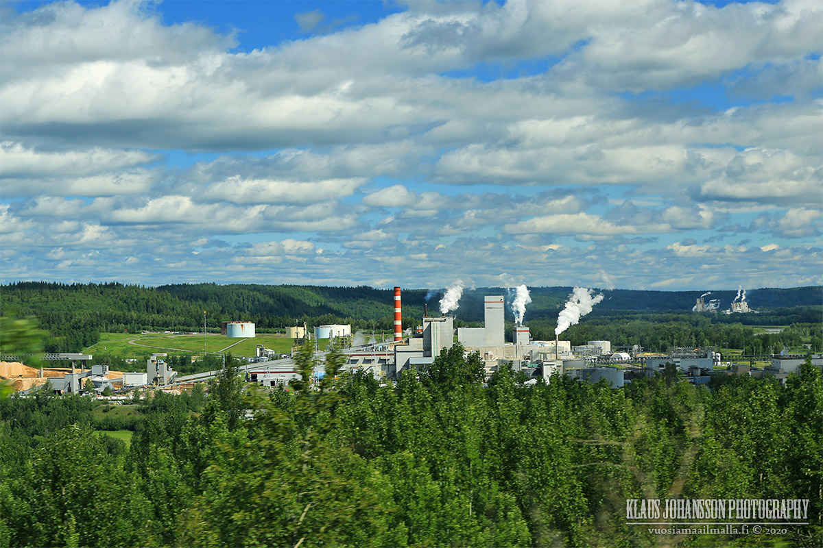
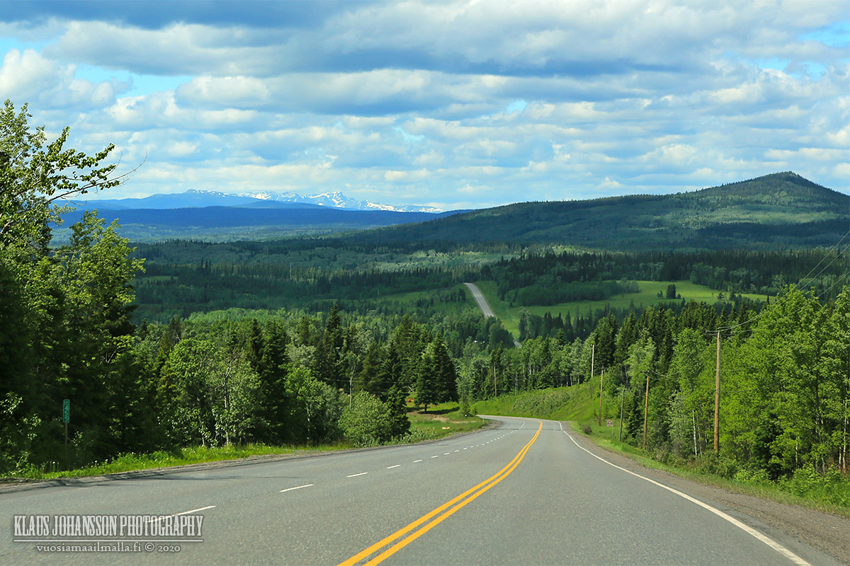
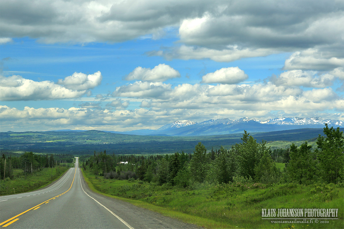
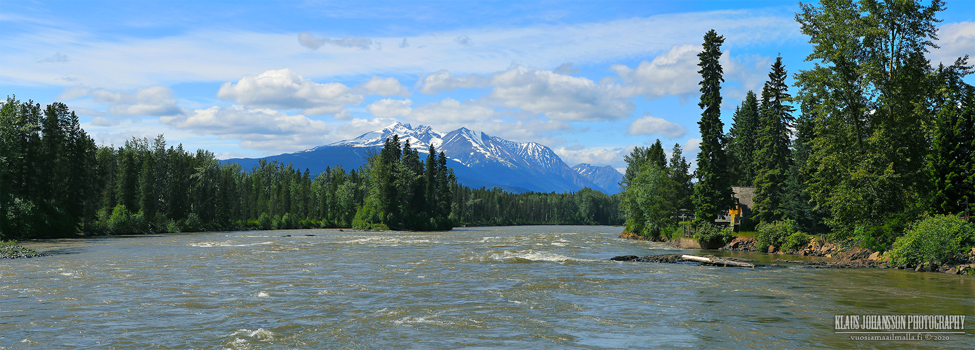
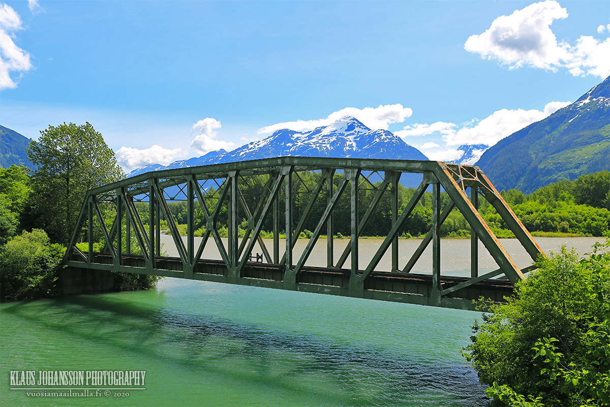
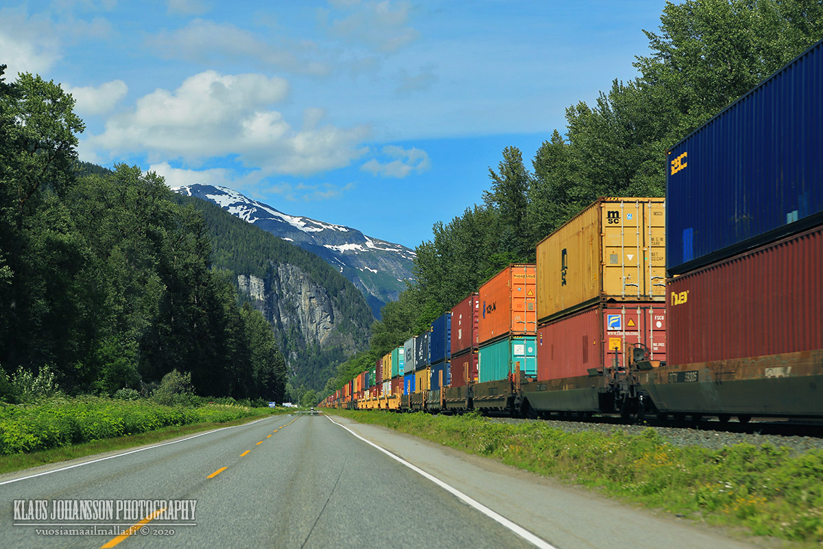
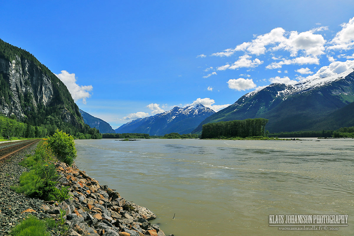
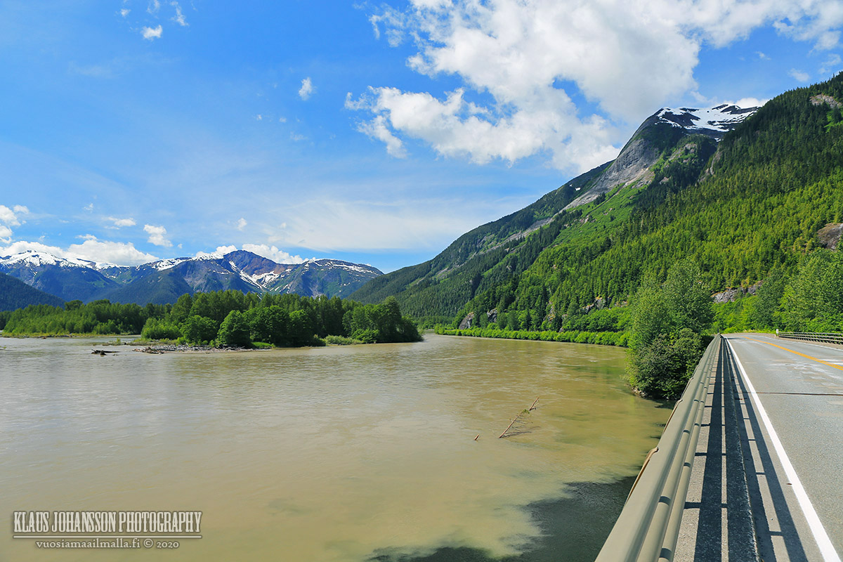
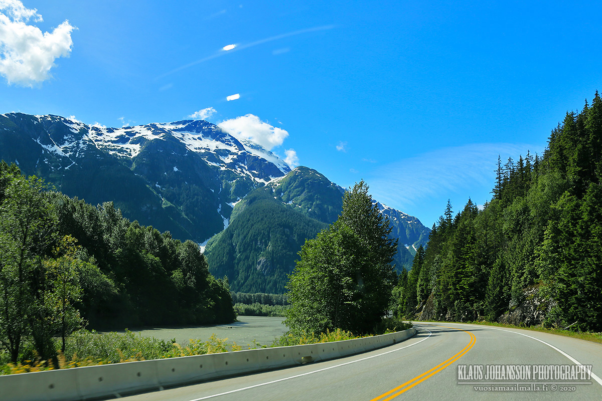
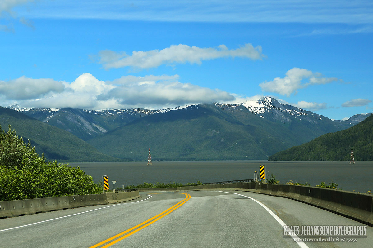
Even the road back home is long and mostly through wilderness.


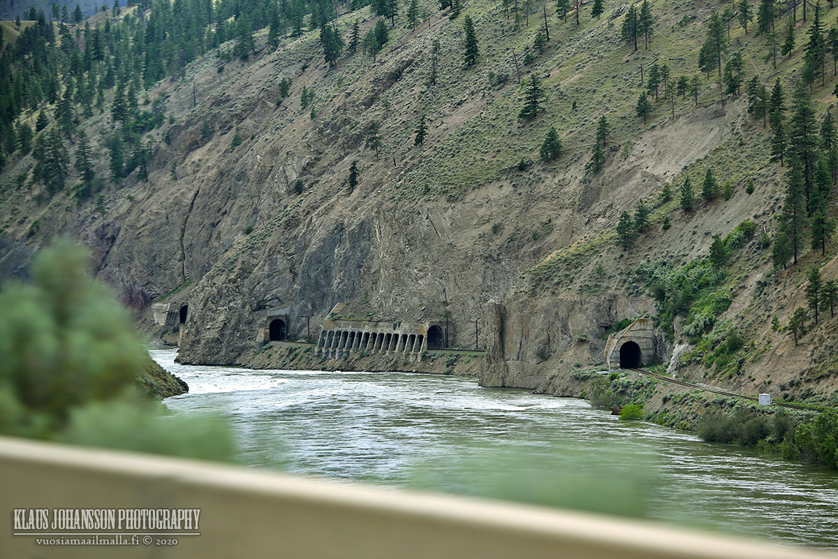
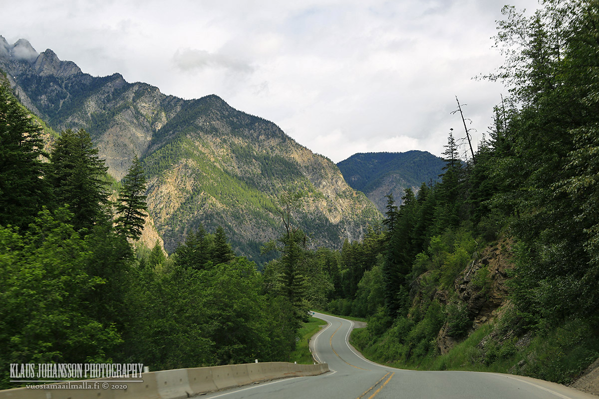
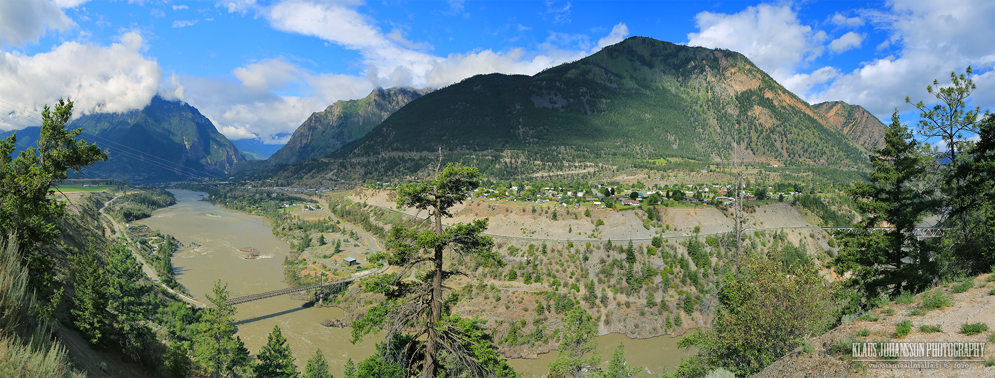
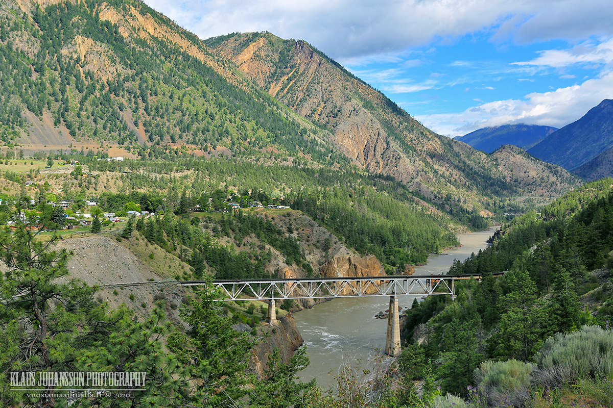
Reaching Fraser Canyon things started to feel like home.


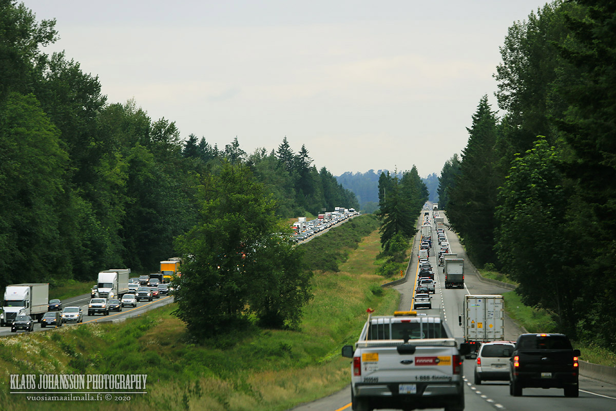
The closer to Vancouver we got, the busier the traffic became. And as we were returning from our summer vacation, most people were only heading out for theirs, as the Canada Day long weekend was upon everyone.


So, altogether our small trip up north ended up being 3,400 kilometres in length which was a lot of driving in only 7 days. I wish the weather would have been a bit better and COVID wouldn't have had so many of the attractions closed, but it was still amazing to see yet another beautiful and lesser known corner of our home province!

Next time we wish to continue heading further north, where the nature will only get wilder! I hope you enjoyed my trip report.
Reply With Quote
     
     
  #20  
Old Posted Oct 23, 2020, 7:54 PM
CivicBlues CivicBlues is offline
Registered User
 
Join Date: Oct 2014
Posts: 947
Quote:
Originally Posted by Klazu View Post
/snip
Amazing pics! That last picture of Highway One is total cringe. Without fail it's the worst part of any trip to the Interior - the drive back home on a Sunday/Holiday Monday. On our last trip around BC in Sept. we even came home early on Thursday to avoid the clusterfuck. I wish they'd twin the Hope - Langley section already. I found the roads even in remote parts of the Interior to be much higher quality and well kept than the busiest road in the Fraser Valley - it's almost like a relic with how narrow it feels with tree branches poking into the lanes sometimes!
Reply With Quote
     
     
This discussion thread continues

Use the page links to the lower-right to go to the next page for additional posts
 
 
Reply

Go Back   SkyscraperPage Forum > Regional Sections > Canada > Alberta & British Columbia > Vancouver > Vancouver Photos
Forum Jump


Thread Tools
Display Modes

Forum Jump


All times are GMT. The time now is 6:15 AM.

     
SkyscraperPage.com - Archive - Privacy Statement - Top

Powered by vBulletin® Version 3.8.7
Copyright ©2000 - 2024, vBulletin Solutions, Inc.