ever since the digging of the north shore channel over a century ago (a canal dug connecting lake michigan to the north branch of the chicago river to help "flush" it out), a good deal of the northside of chicago and most of evanston were turned into a long and skinny man-made "island".
now, absolutely no one actually thinks of this chunk of land as an island (because it's not in reality), but because it is now technically surrounded by water, and because it lines up so closely to manhattan in size/shape, and because it represents a solid chunk of the some of the densest and most urban neighborhoods of chicago, it's only natural to compare the two geographies.
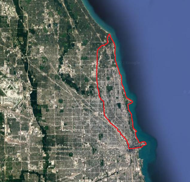
the real manhattan: ~13 miles long x ~2 miles wide = ~23 sq. miles | 2020 pop: 1,694,251 | average density:
~75,000 ppsm
chicago's "manhattan": ~13 miles long x ~2.5 miles wide = ~29 sq. miles | 2020 pop: ~666,000* | average density:
~23,000 ppsm
(*) i had to approximate the population a tiny bit because a couple of census tracts up in evanston at the very northern end don't fully align with the course of the channel, so +/- around 250 people on that figure.
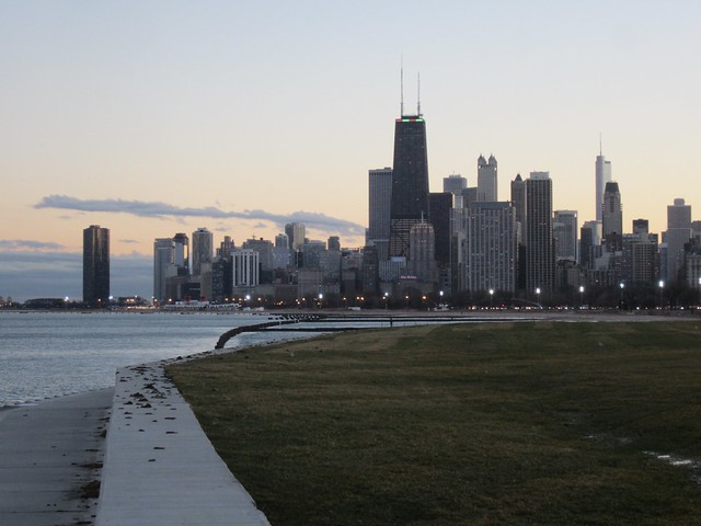
in case anyone wasn't fully convinced yet, NYC is on a completely different level than every other US city.
nice try chicago, thanks for playing


 Prev
Prev


 Linear Mode
