Quote:
Originally Posted by wwmiv

No, I do think it measures amenities in nearby tracts, too, or at least it should.
|
Yeah, I looked again, and it appears to.
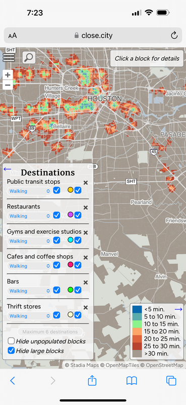
I'm still not sure how the map works, but I adjusted criteria to include only the most basic amenities for people on foot (convenience stores, public transit stops, cafes, and restaurants), and left out amenities that serve larger numbers of people, which are inherently smaller in number, where people often travel a bit farther to get to them (schools, supermarkets, parks, stuff like that...though parks are largely missing from the map anyways).
Here's most of the Bay Area, and a little bit of the Central Valley:


 Prev
Prev


 Linear Mode
