Quote:
Originally Posted by Obadno

It depends on how you define "core" Most cities if you limit the "core" to literally the few blocks of true downtown are typically some of the most expensive places to live, then you typically have a poor ring around hat, followed by the sprawl of the general working/Middle class with wealthy neighborhoods usually existing in a wedge from center-Edge
Also yo tend to see clusters of high wealth Exhurbs.
|
Usually when talking about income distribution in the city vs suburbs, we're talking about "donuts" - a core, inner suburbs, and outer suburbs.
Ex with Paris, the City of Paris is the core, with around 18% of the population of Ile de France, there's the inner departments or "Petite Couronne" (French for "small ring"), whose suburbs are home to 38% of the population, and then the outer departments of "Grand Couronne ("large ring"), whose suburbs are home to 44% of Ile de France's population.
Loosely speaking, with Paris, the core is affluent, middle ring is lower income and outer ring is more middle class. It's not a perfect pattern due to favored quarters (the West side) with Hauts de Seine being high income despite being inner ring, but on average, it fits.

So to apply this to other cities, you could round things off to 20/40/40. The core inner 20% of the metro area's population, a surrounding ring with 40% of the population, and an outer ring with also about 40%. I would say that on average, American cities have about 20% of the metro area's population as well.
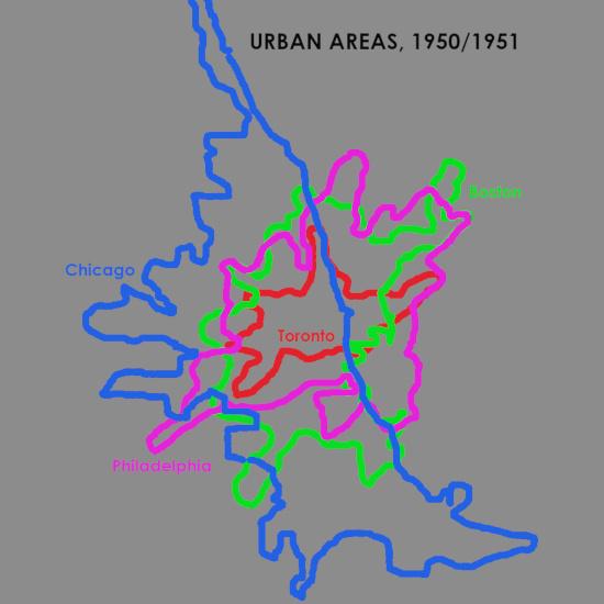
For Toronto, that would be around 1.2-1.3 million people in the inner core, and the 2.4-2.5 million in each the inner and outer ring.
Everything outside the biggest circle would be the "outer ring" (except the parts that aren't part of the metro like Oshawa). Brampton is the main lower-middle income area, while Aurora, King and Oakville are upper-middle income. Brampton's population is larger than those more affluent suburbs, but it's also closer to the average income, so overall, the average income of the outer ring should be pretty close to average.

The inner ring is clearly the least affluent, taking in most of Scarborough, southern Markham, north Etobicoke, older parts of Mississauga, Jane & Finch, Downsview, Weston and Bathurst & Finch, all of which are lower income. There are still a fair bit of middle income areas, as well as a bit of higher income areas, mainly in central Etobicoke, but also in southern Mississauga and the outer edge of the northern favorite quarter (ex York Mills).
Then there's two small circles. The smallest is a bit too restrictive for the 20/40/40 definition, as it has only about 800,000 people living in it (around 13% of the MSA). Still, that's a pretty big area considering it has hardly any low income census tracts - with something like 10% of its population living in lower income CTs, 40% in middle income CTs, and 50% in high income CTs. The larger circle, that has more like 20% of the MSA's population, does start taking in more lower income areas, including Flemingdon Park, Crescent Town and York/Eglinton West. However, those are still outnumbered by the inclusion of most of the north Toronto high income cluster, the High Park area, the Beaches, Riverdale, and some more affluent downtown condo neighbourhoods near the lake.


 Prev
Prev


/https://tf-cmsv2-smithsonianmag-media.s3.amazonaws.com/filer/0e/88/0e88e858-2306-4e54-9836-97a8028af03d/screen_shot_2015-07-16_at_122900_pm.png)


 Linear Mode
