I was out a little earlier than I usually am yesterday, so here are some shots from perspectives I don't get as often (looking west), or which aren't lit as well...
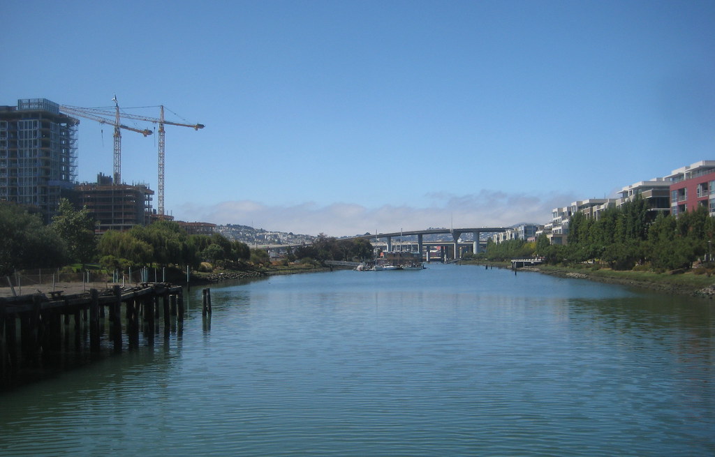
this is what the Creek looks like these days, from the Fourth St Bridge
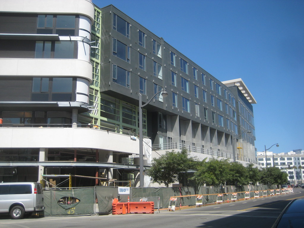
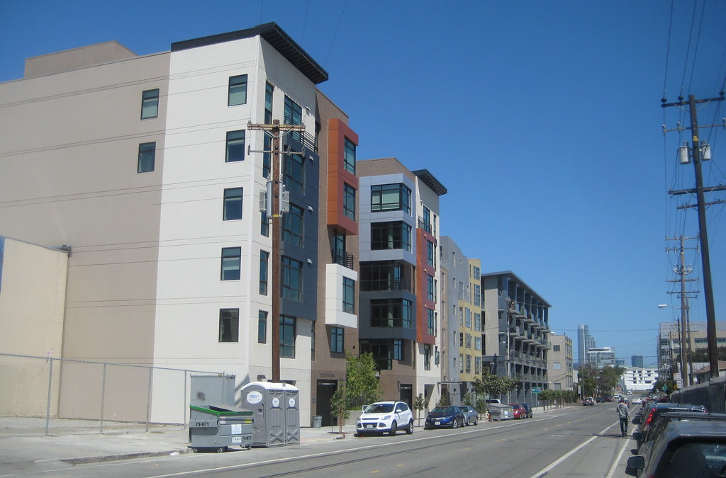
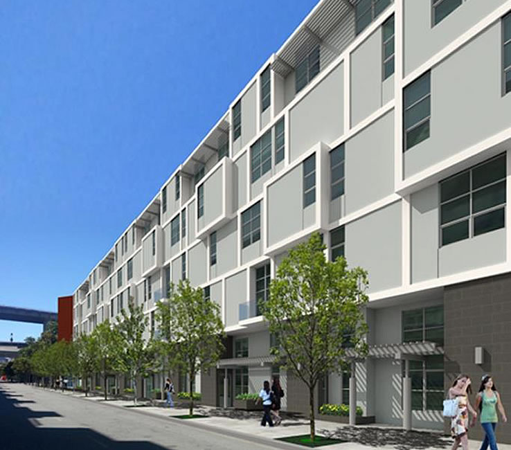
here is Mercy Housing on Fourth
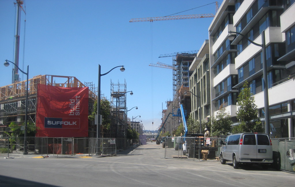
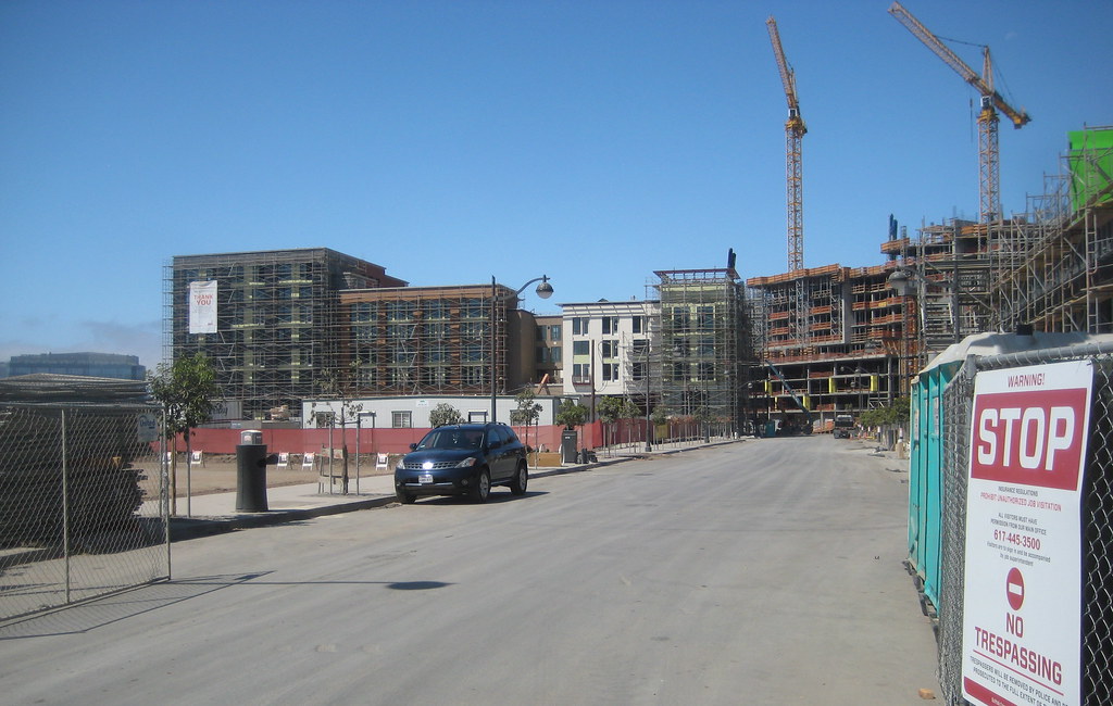
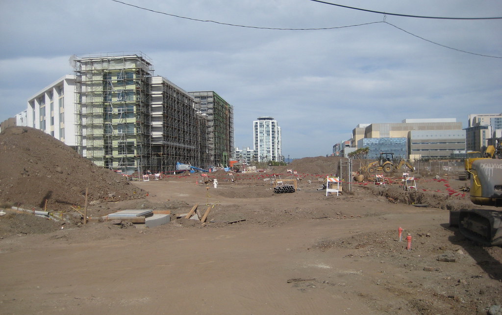
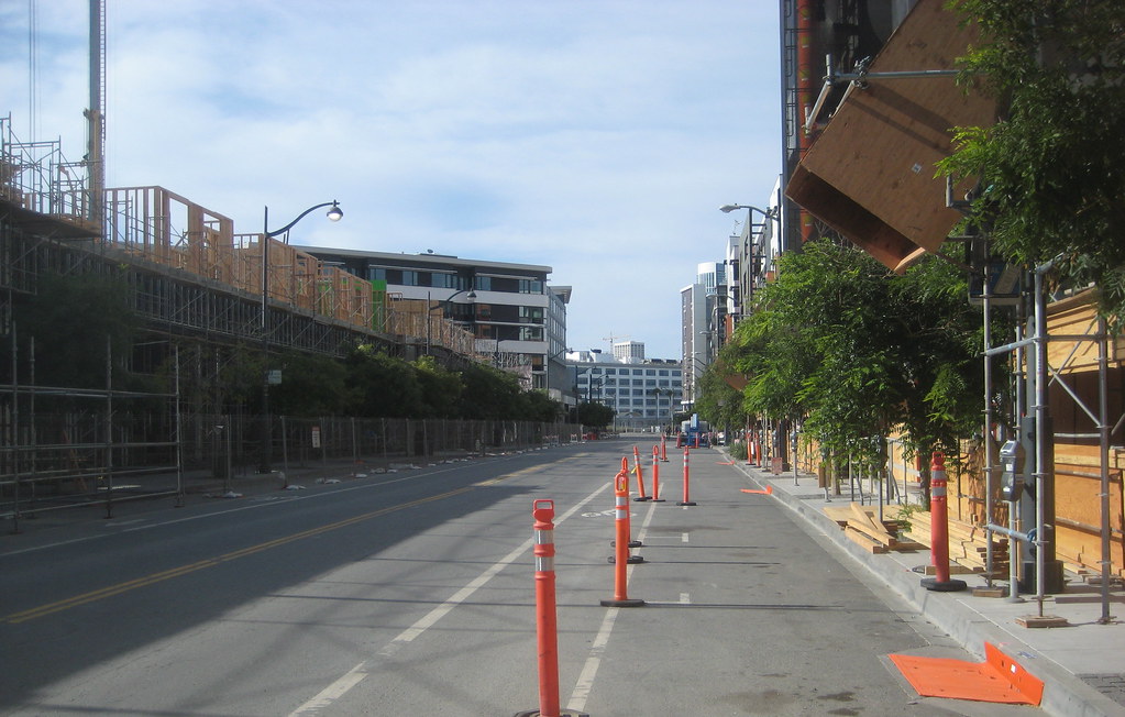
looking down Long Bridge St, with MB360 block 5 on left
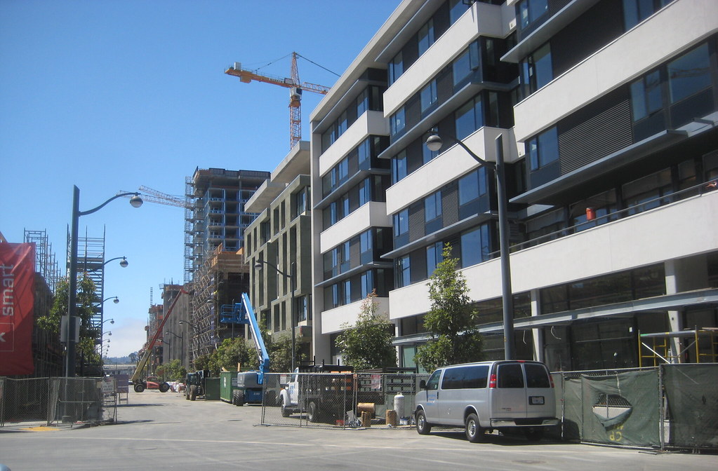
showing a bit more of the north side of the street
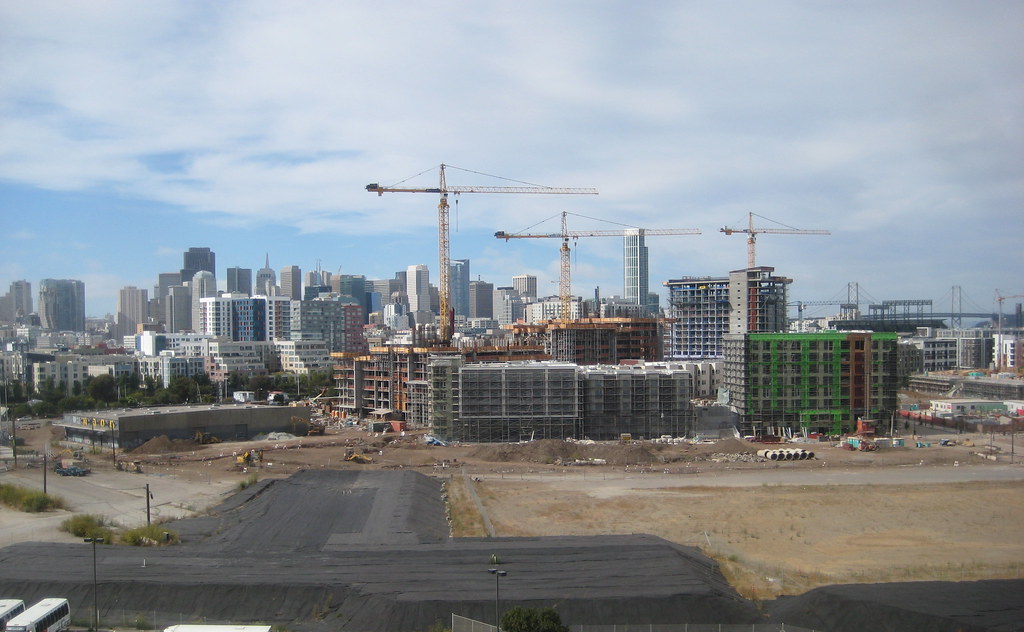
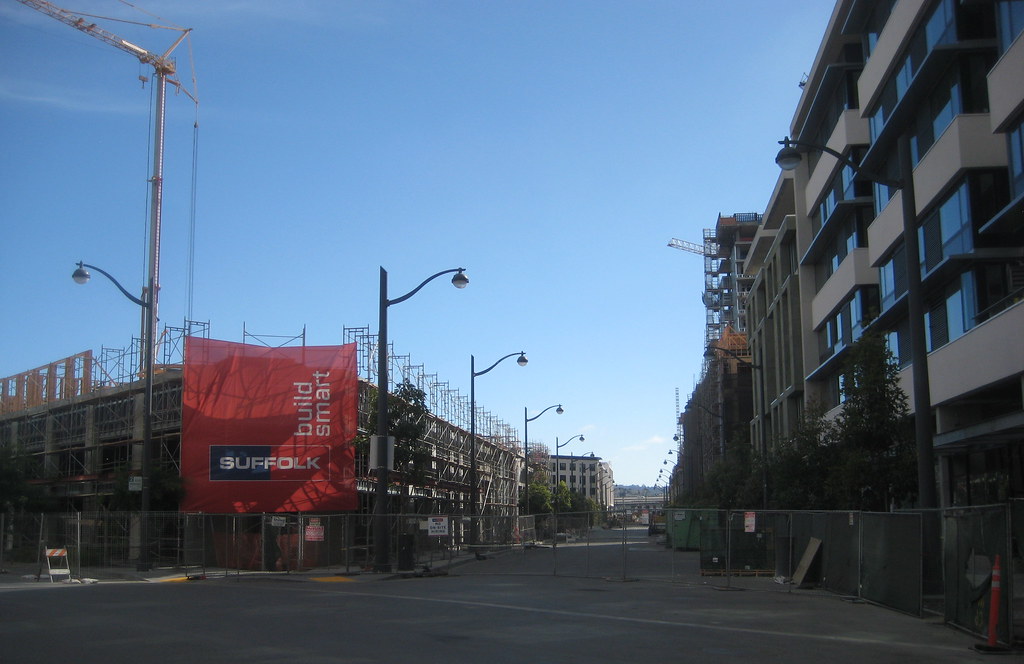
China Basin St, from Fourth, with MB360 block 11 on left, MB360 block 5 on immediate right, Borg ship - I mean 'Arden' - in distance
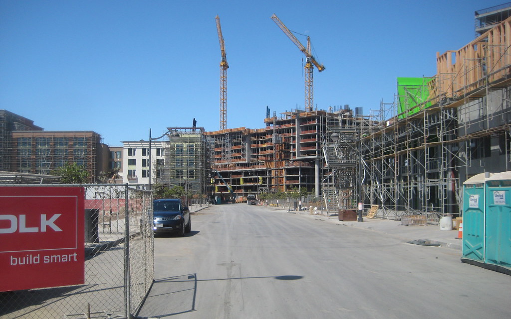
slightly offset perspective
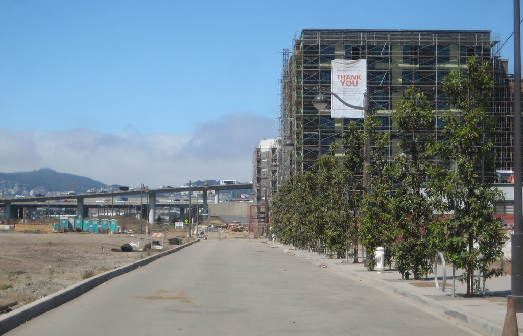
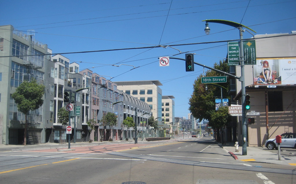
Mission Bay Blvd North, from Fourth, with MB360 block 11 on right, future Commons on left
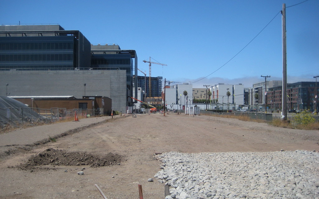
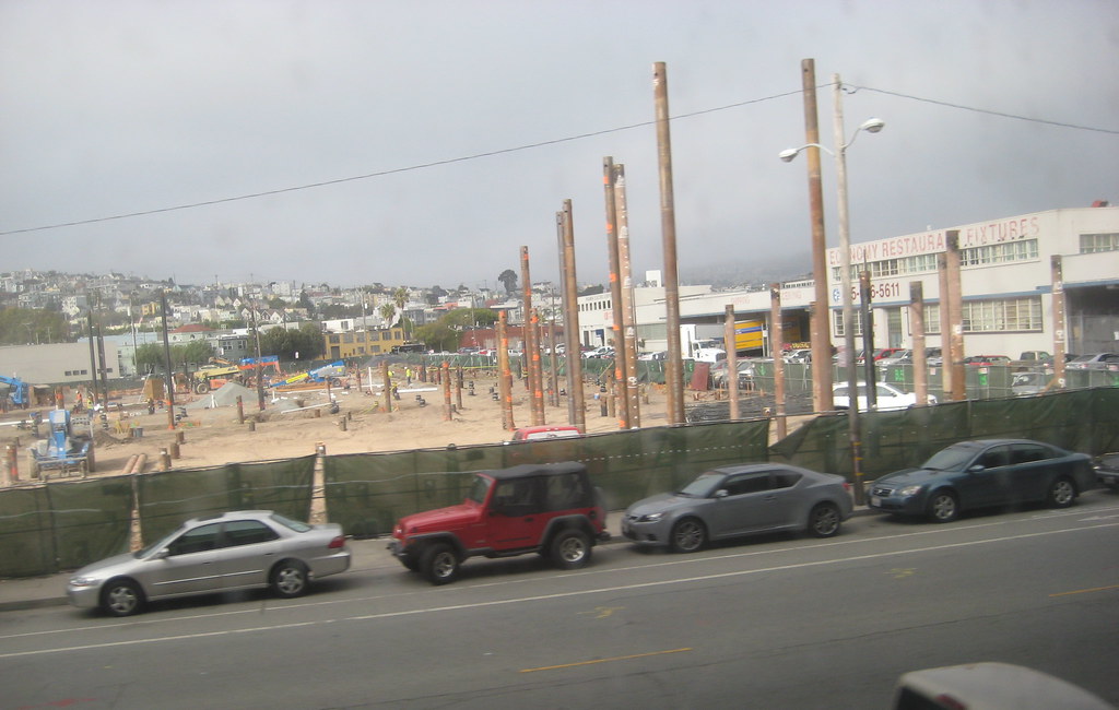
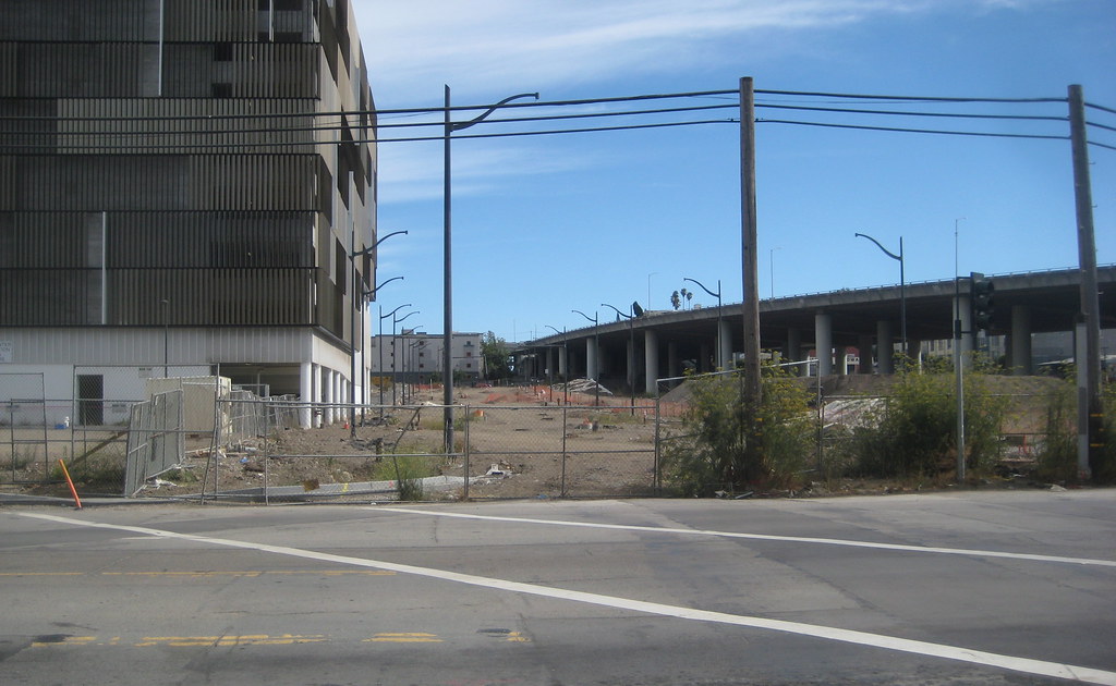
still nothing doing on Mission Rock St between Terry Francois and Third, next to the public safety building. speculation: waiting for the dirt they've placed on it to compress/compact the ground a bit before they put in the finished road in its new alignment? I have seen evidence of (to my untrained eye) at least minor subsidence issues in the new construction around MB
still not clear if what they are doing over at parcel P23 has to do with the open space that is slated for that plot (sorry to have to include these buildings in the shot. man are they awful-looking)
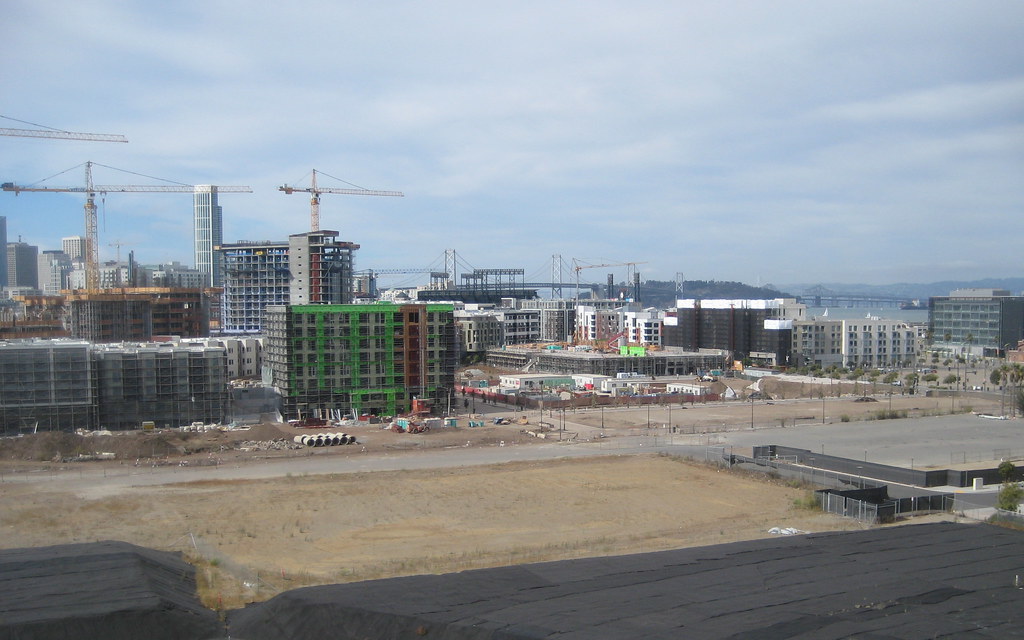
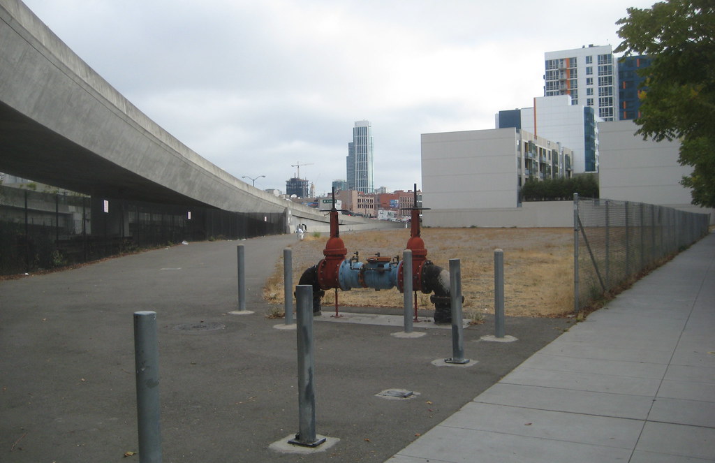
looking north along Illinois, with 'the Gantry' in the foreground. it struck me looking at this picture that if someone had taken this photo from this spot in, say, 2007, almost none of the buildings you see (near or far) would have been in existence.
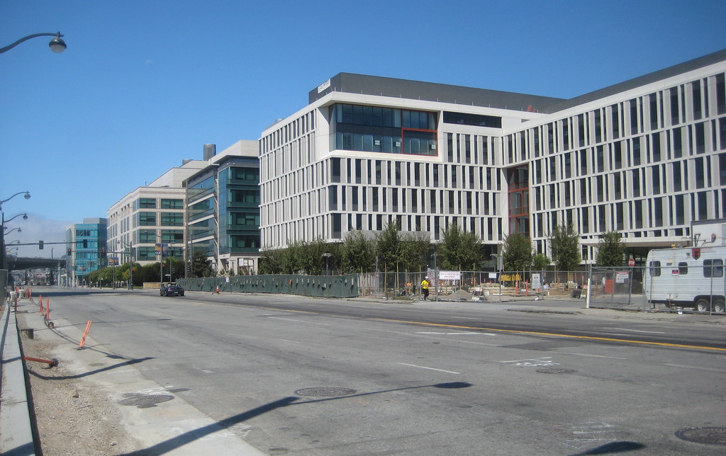
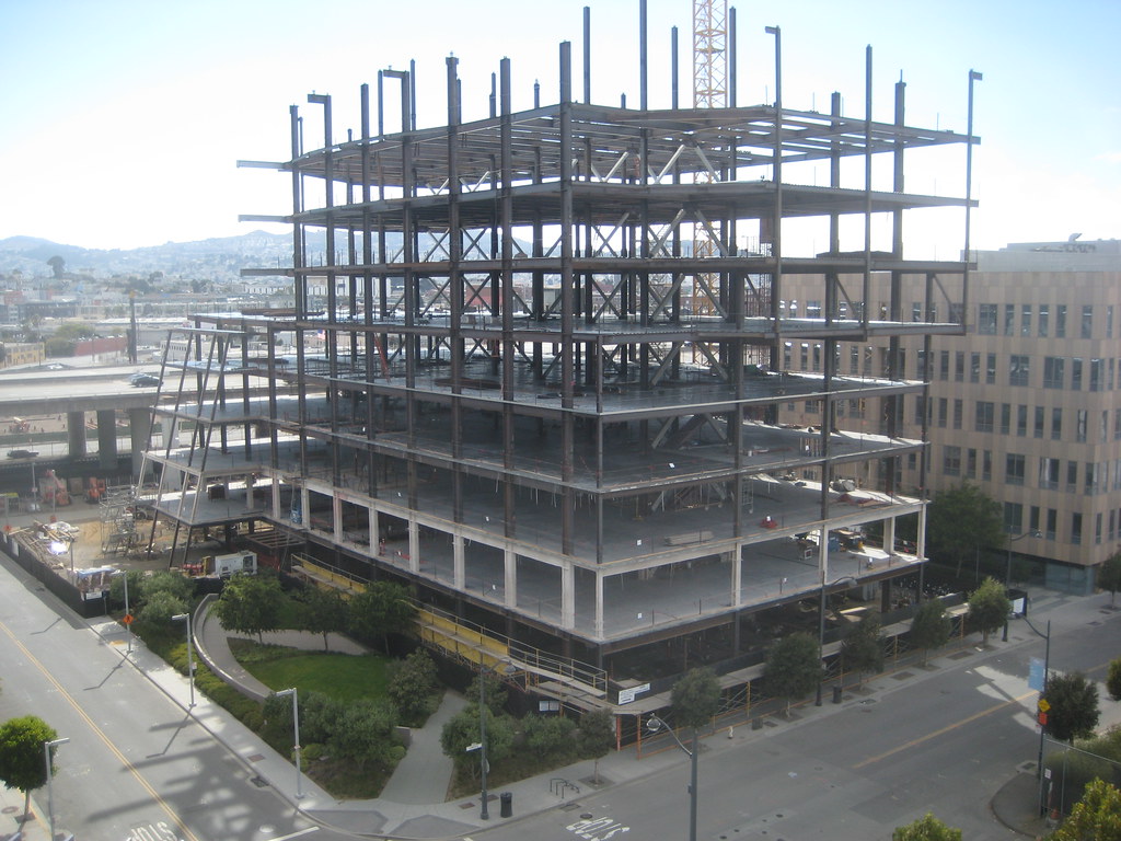
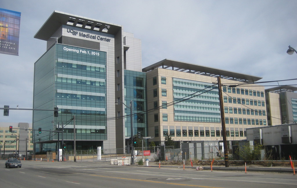
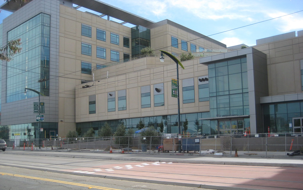
looking north up Third, showing the hospital taking its place
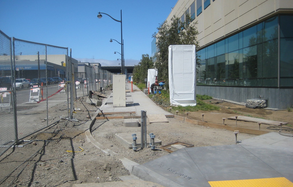
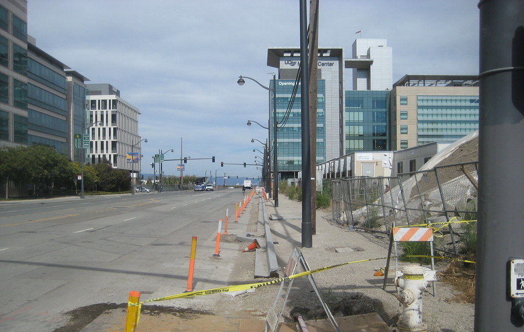
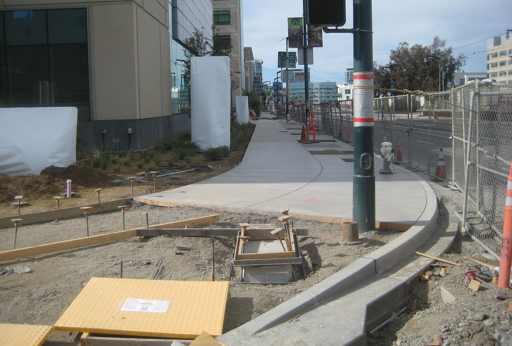
speaking of the hospital, here is the sidewalk on the south (Mariposa) side from the corner with Third
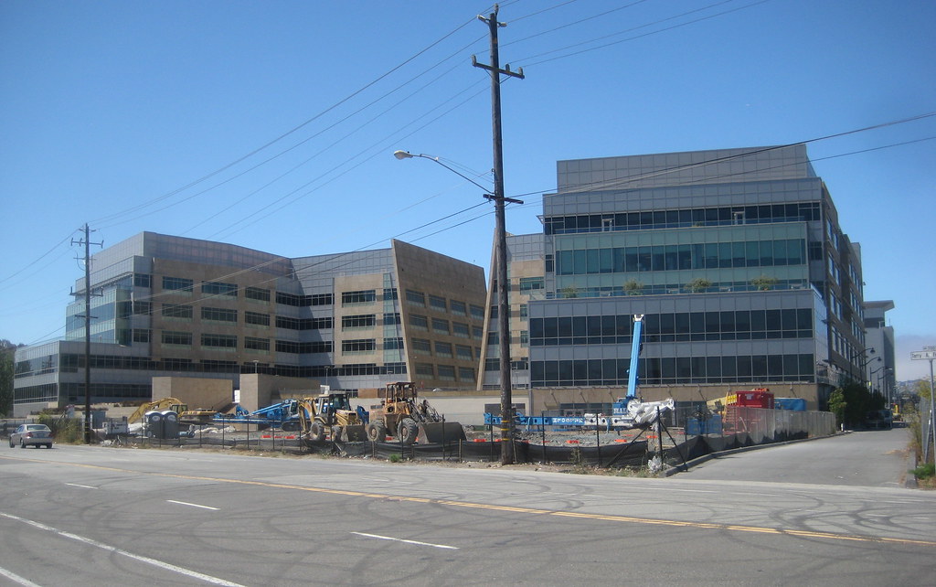
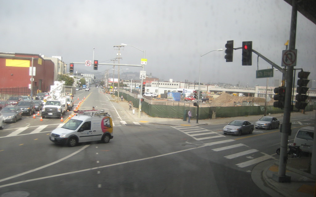
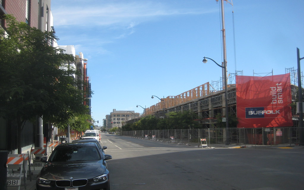
16th Street, with the new UCSF medical office building in context
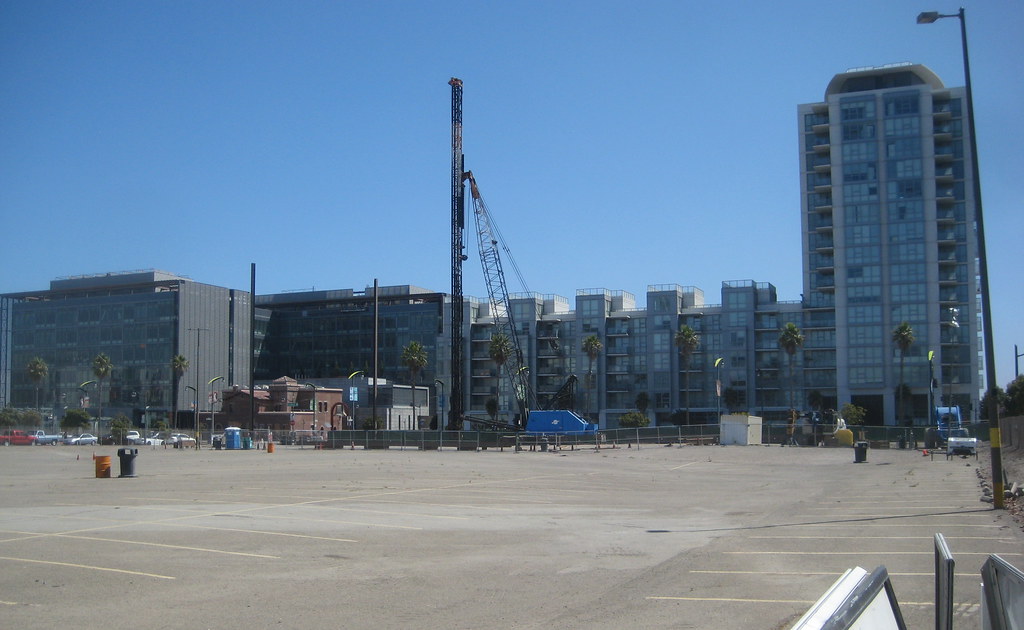
and, not sure how significant this is... they were driving piles on the eastern portion of block 7. they had about a third of the lot fenced off, so it may be they are only testing in that part. but it would be nice if this were actually a portent of bigger things. WildCowboy, do you know anything more? this is looking north
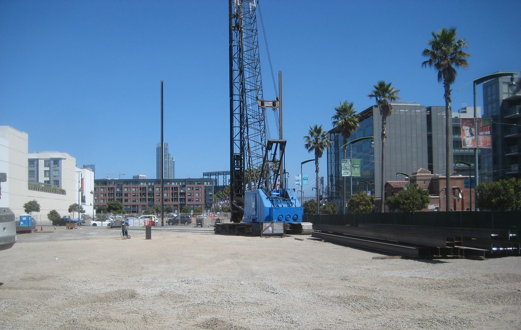
here looking east


 Prev
Prev


 Linear Mode
