Quote:
Originally Posted by sopas ej

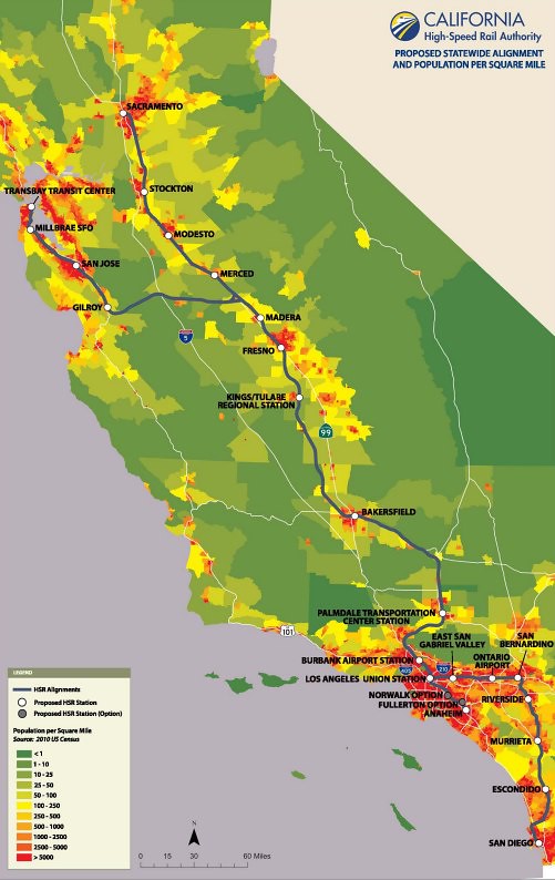
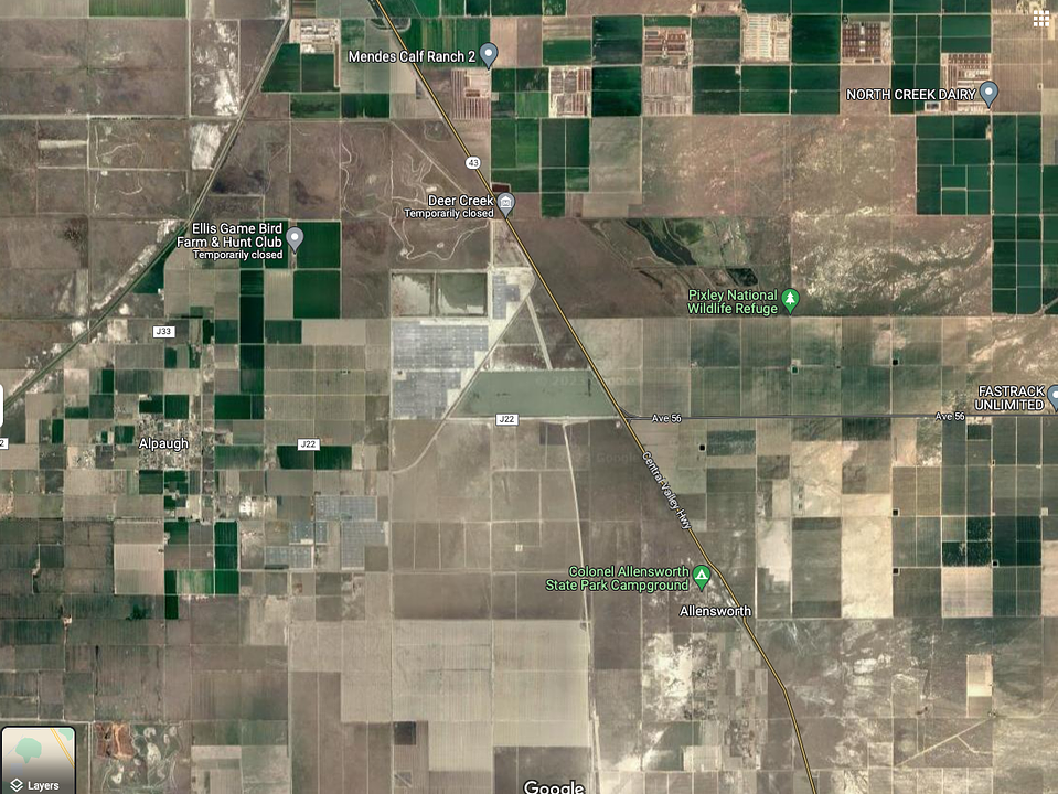
If it followed the 5, then it would bypass all the major towns/cities of central California.
|
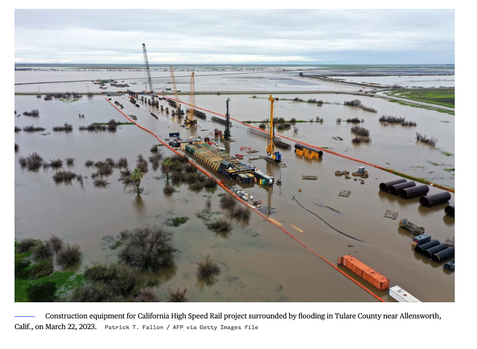
And I think that would be an improvement. The 'major' towns/cities of the Central Valley would still have access to the HSR. They'd have to drive 30 mins to an hour to reach a station, but how is that any different than people driving to an airport? They would still be getting a huge amenity by having easy, fast access to SF and LA (eventually Sac and SD, too), even if the train didn't pass through the center of town. The whole point of HSR should be connecting the Bay Area to SoCal as fast and easily as possible. When you have mission creep, such as serving every cow town in the CV, the project suffers, as we've seen. Land acquisition and road and utility relocation in the CV has been a HUGE waste of time, money, and resources. These issues would have been much, much simpler had the I-5 alignment been selected. Because these issues were dealt with when the 5 was constructed!
Oh well, that ship sailed long ago. It is what it is at this point. Looking forward to seeing bullet trains connect Madera and Bakersfield in 2030!


 Prev
Prev


 Linear Mode
