Tres Islas Marias
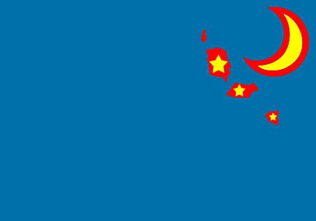
Flag:
 Geography:
The group of islands we're originally named Islas Magdanelas but years later they were each given a name. The largest island is called
Isla Maria Madre (Island Mother Mary), it is 616 meters (2,020 feet) at it's highest point and in the second most Northernly island. The second largest is Isla Maria Magdalena (Island Mary Magdalena) and is 457 meters tall (1,500 ft.). The smallest of the main islands is the Isla Maria Cleofas (Island Mary Cleofas), it reaches up to 402 meters (1,318 ft.) above sea level. The islands are located about 60 miles off the Western coast of Mexico, nearest to the state of Nayarit.
History:
The Islands originally belonged to Spain but in 1821 Mexico got it's independence leaving the islands in the hands of the Mexican government. In 1840 the people of the Islas Marias decided to become independent so they went to war with Mexico and lost the first of two battles. In the second battle the people of Islas Marias used a method from the Spaniards where they filled some ships with explosives and sent them into the enemy's ship fleet.
Mexico lost 31 out of 35 ships in June 4th, 1843 and the Islands got their independence on that day. After the Mexican defeat, the U.S. was the only country trading with the Marian Islanders until 1865 when the Mexican and Marian Island Government signed a treaty.
Now there are a # of large cities which are important to both the island and Mexico. The largest city is Puerto Independencia in the Isla Maria Madre which is home to 5 million people and is the economic center of the country.Puerto Independencia is the capitol of the island-state, Isla Maria Madre. The second largest city is Pacifica with 3 million people in Isla Maria Magdalena and although more people live in this city than in Puerto del Pacifico, it is third in economic importance. Pacifica is the capitol of Cleofas-Magdalena, which is made up of both the smallest of the islands and the middle one. The third largest city is Puerto del Pacifico (Port of the Pacific or more commonly known as Port Pacific), it is home to 1.7 million people and is the second most important economic city in the country. Port Pacific is also the nation's capital, located in Isla Maria Cleofas, the smallest of the islands.
There are some small cities with large importances too like Puerto de Maria (Port of Mary or Mary's Port) which although is only home to 400,000 people, it is the largest port in the country and the largest in Latin America moving 163,500,000 million tons in cargo. The port is the third busiest in North America after the South Louisiana port and the Houston Port. Worldwide this is the 17th largest port behind Chiba, Japan as of 2006.
The national language became a hot topic during the 60's as most people spoke both Western English and Western Spanish. In 1965 the government made both English and Spanish the national language, added English and Spanish classes to all schools, and made it a requirement to speak both languages for people to pass highschool.
-------------------------------
Updates will soon follow.


 Prev
Prev


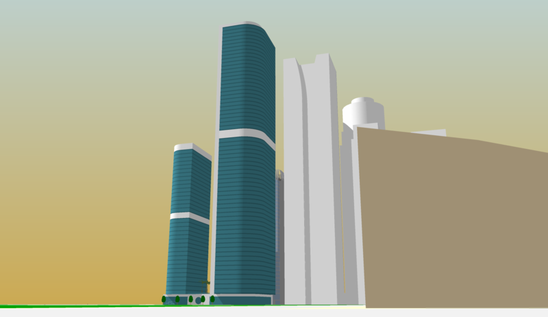


 the matching modern towers are nice


 Linear Mode
