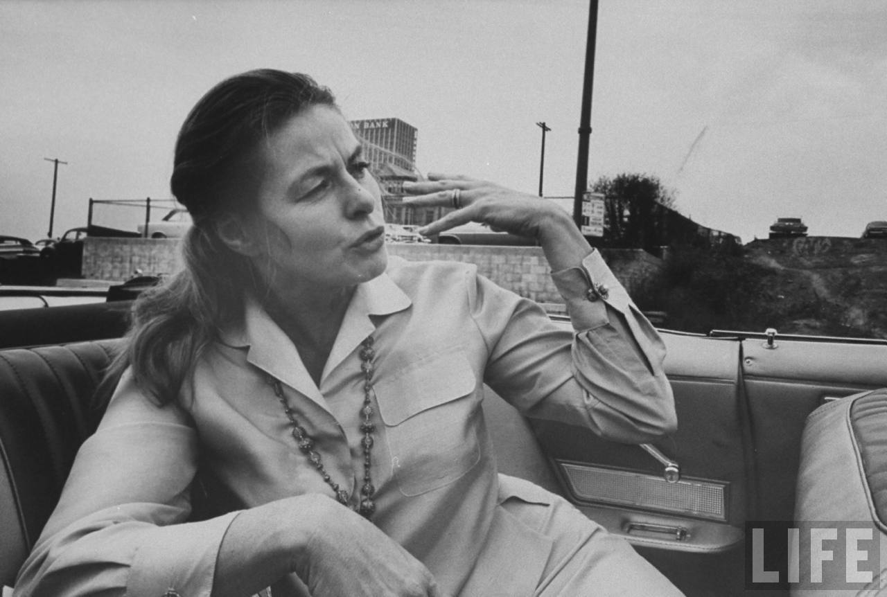
i can't find any information on why Ingrid Bergman was taking in the sights of CRA's newest thrill ride attraction,
Bunker Flat, but i did happen to find these interesting maps over at CRA's web page.
The 1st map is the 1967 amended 1959 Bunker Hill property acquisition map.
What is interesting is that the two private properties that are outlined with the dotted hatch mark, indicating that they are still needed to be acquired, is the Stewart K. Oliver property, and the Briggs apartment house. (which explains why they are just about the last two to go)

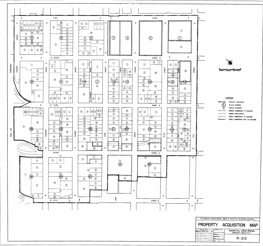
CRA/LA
This image is the amended 1967 proposed street grid for bunker hill.
Goodbye Clay street, Bunker Hill Avenue, Cinnabar Street and Sack Alley, (oh, and half of flower)......( i would mention Goodbye Third place, but that was always supposed to be a temporary road giving access from south bunker hill avenue to olive and hope streets when they slammed the 4th street viaduct (why a no chick?) thru.
Hello 2A Street, (General Thaddeus Kosciuszko Way), and 3A Street, (Subterranean Service Road for California Plaza).
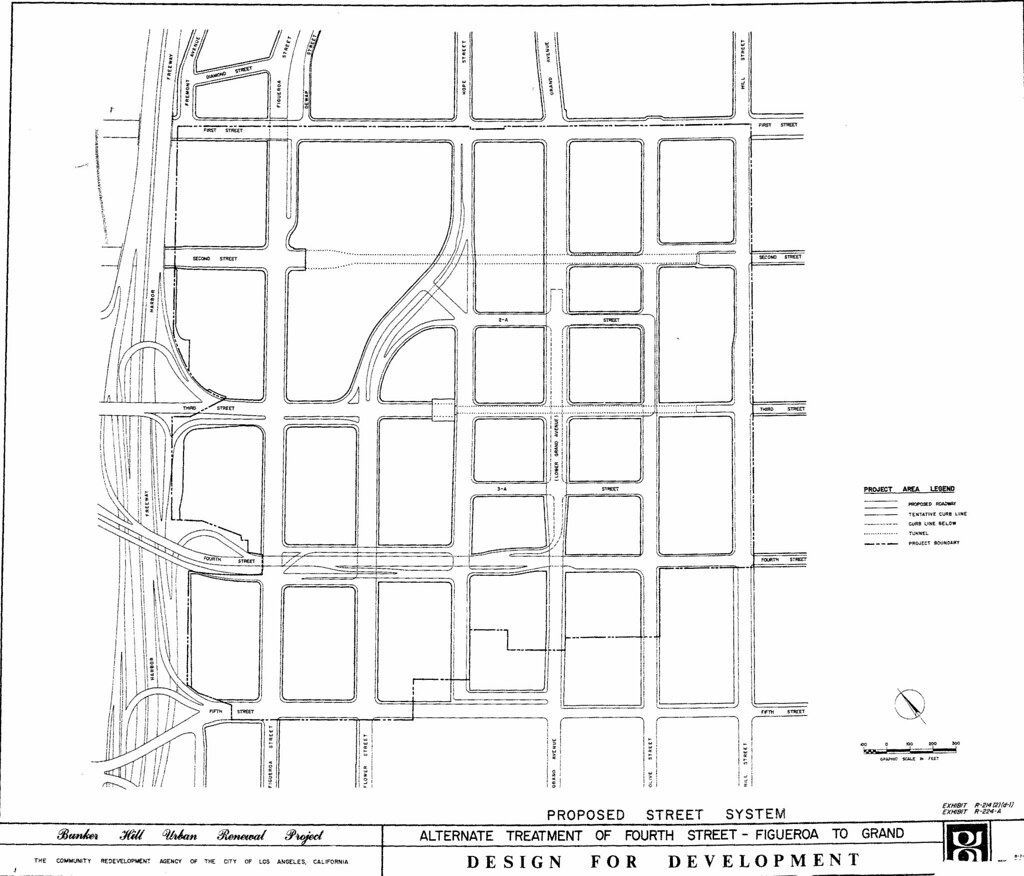
CRA/LA
And finally, the current Bunker Hill Development Plan map showing the remaining sites to be developed.
Goodbye 3A Street.
Hello Hope Place.

CRA/LA


 Prev
Prev


 dgaquarterly
 USC
USC LAPL
LAPL LAPL
LAPL


 movieshots
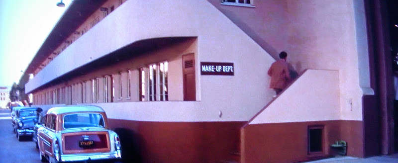 movieshots
 picturz


 Linear Mode
