Quote:
Originally Posted by pj3000

As for Buffalo and Cleveland, their "rivers" could not be used as harbors early on. Because where the Buffalo and Cuyahoga met Lake Erie was nothing but marshland, not actual river mouths.
These "rivers" were narrow, shallow, and unnavigable marshy creeks meandering to the lake. It took massive excavation early on to build them into what the waterways look like now and provide usable harbors on both cities' lakefronts.
|
Ditto Chicago and its little lazy old prairie marsh stream that it massively dredged and channelized into a working river.
And same thing when the city decided to move heavy industry and the main port, down to the calumet river on the Southside
Milwaukee was gifted with a better natural harbor in the estuary created by the confluence of the Milwaukee, Menomonee, and Kinnikinnick Rivers, but even there, much dredging and channelizing was required to make it suitable for the bigger ships.
Good natural harbors hardly seem to be much of an indicator of where the major cities developed on the lakes. Just look at Erie vs. Cleveland, or Muskegon vs. Chicago.
Quote:
Originally Posted by iheartthed
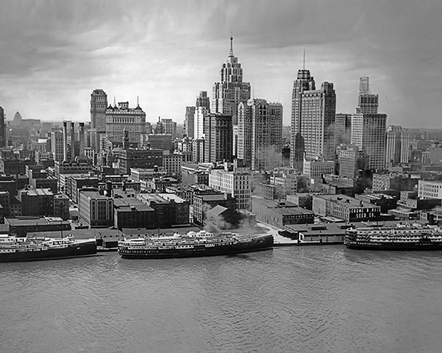
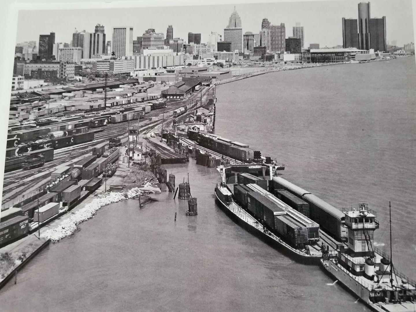
This is why Detroit is so much older than the other major Great Lakes cities. The city's location made it a great fort for Europeans expanding into the interior of the northern North American continent.
|
Yeah, the French didn't give much of a shit about where ore and lumber could be extracted and processed, they just wanted to control the lakes to secure the lucrative fur trade, so the strategic choke points on the upper lakes (Detroit, Mackinac, the soo) became the most highly valued locales early on.
Detroit just happened to be the one located far enough south that it eventually made the jump to become a resource processing center, and subsequently took off.


 Prev
Prev


 Linear Mode
