Quote:
Originally Posted by Steely Dan

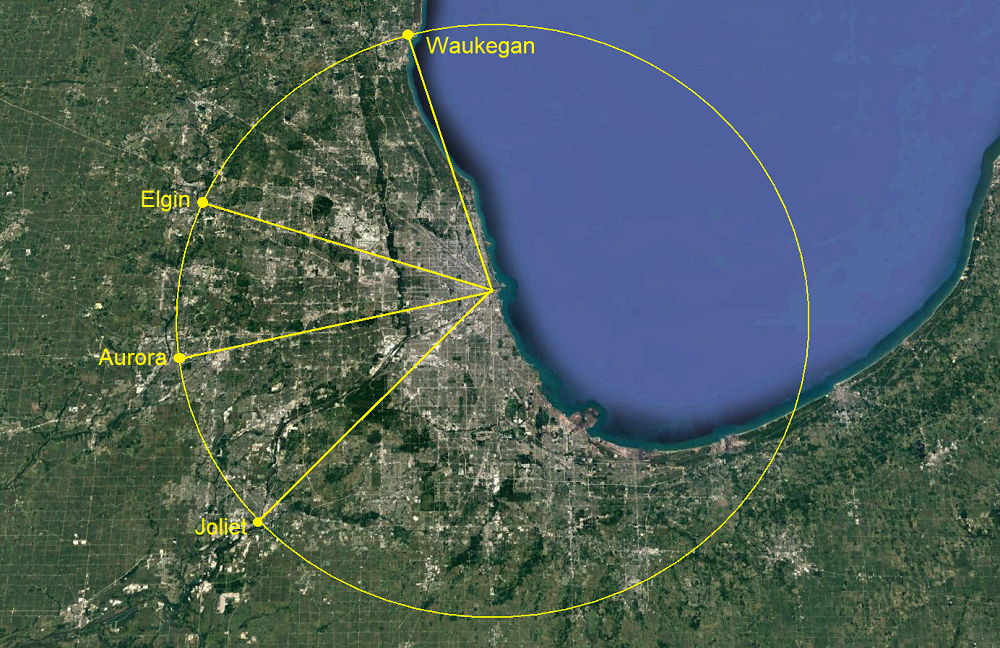
the map also does a decent job of showing the northern/western bias of chicagoland, as development tapers off quicker when you head due south from the city, possibly because there was no historical ring city located down that way to draw sprawl out to it?
 [/url] |
Because there’s no water. Or at least no cheap easy water.
To the North, Lake Michigan and the Des Plaines River
To the West and Southwest, the Fox River, Illinois River, and Sanitary and Ship Canal.
To the South past the Calumet… nada until the Kankakee River. Sprawl isn’t as easy if you have to negotiate hookups to Chicago’s water network.

