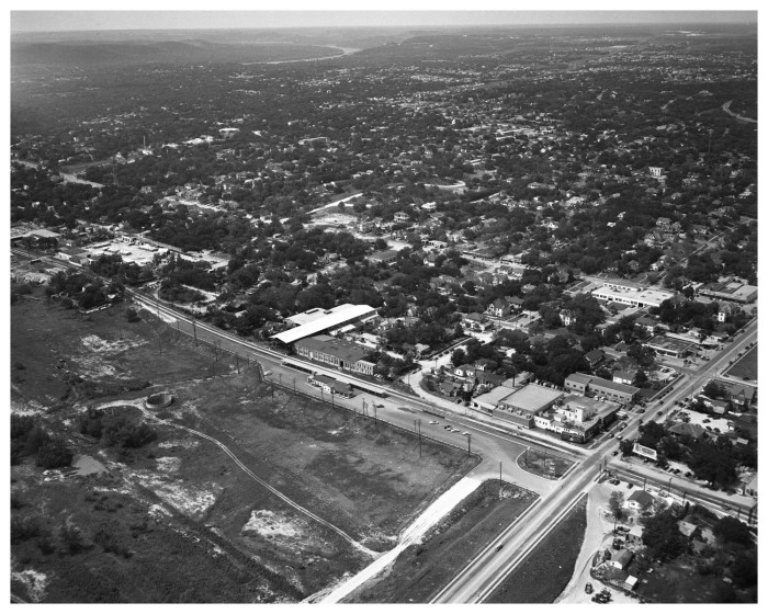
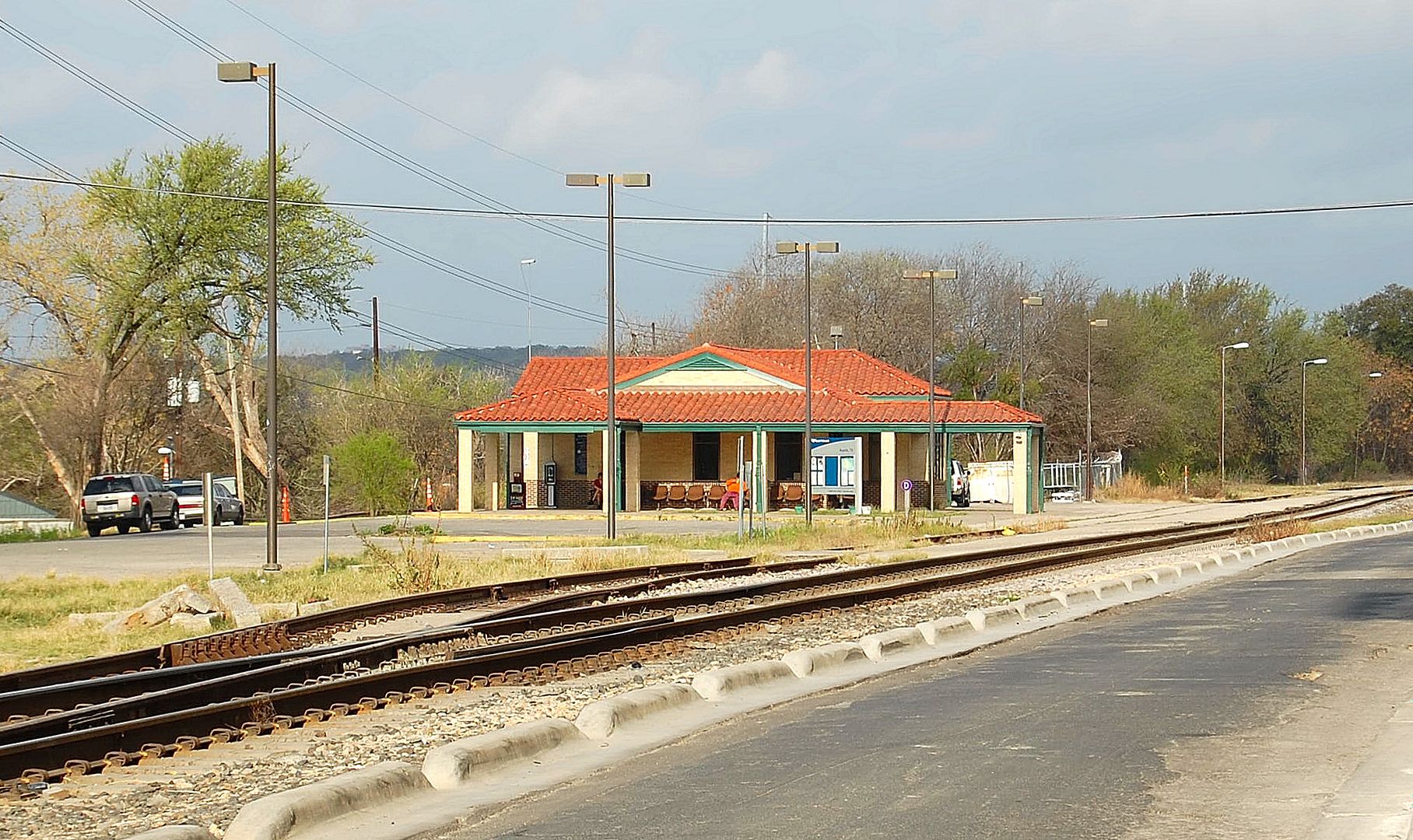
The footprint of the current Amtrak station looks pretty close to the aerial shown from 1950... the awning adjacent to the tracks is gone, but the station itself might have just been remodeled. There are definitely 2 different stations depicted in the "Missouri Pacific Depot Opening," so they must have at least some of those inaccurately labeled..
Aerial from a few years ago:
http://www.bing.com/maps/default.asp...cl=1&encType=1
Birds eye of same:
http://www.bing.com/maps/default.asp...7940&encType=1
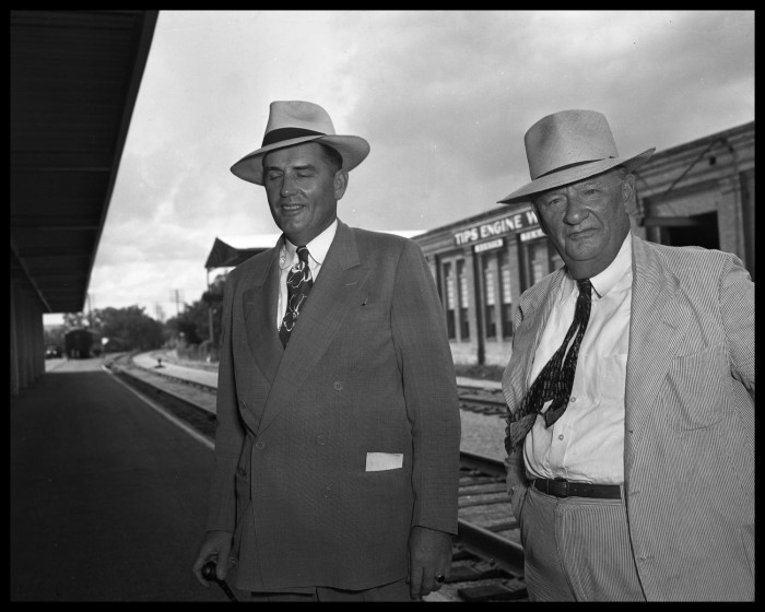
I think those two men were standing just east of where that white van is in the above aerial. You can see the old buildings (Tips Engine Works) across the tracks, as well as the concrete base that the awning must have stood over.
Quote:
Originally Posted by LoneStarMike

Missouri-Pacific Lines - Depot Opening - Two men standing by railroad tracks. Tips Engine Works is in background. - 1949 This station looks like it was where the Amtrak Station is today. I recognize those buildings across from the tracks.
 extra-large photo
Aerial view looking NW from about the north approach to Lamar bridge. At the lower right, RR tracks cross Lamar Blvd. - 1950
extra-large photo
Aerial view looking NW from about the north approach to Lamar bridge. At the lower right, RR tracks cross Lamar Blvd. - 1950
 extra-large photo
I wonder when the original train station on N. Lamar was torn down, because that's definitely not the station that's there today.
March 6, 2009
|