Thanks to La Niña, the winter of 2016/2017 has been a record breaker for snow accumulation in Idaho and the Northwest.
The current snowpack as of early March in the Boise River Basin is 144 percent of average which means there is going to be a lot of water coming out of the mountain wilderness of Central and SW Idaho and flowing into the Boise River as it courses through the Treasure Valley towards the mighty Snake River on the Oregon/Idaho border.
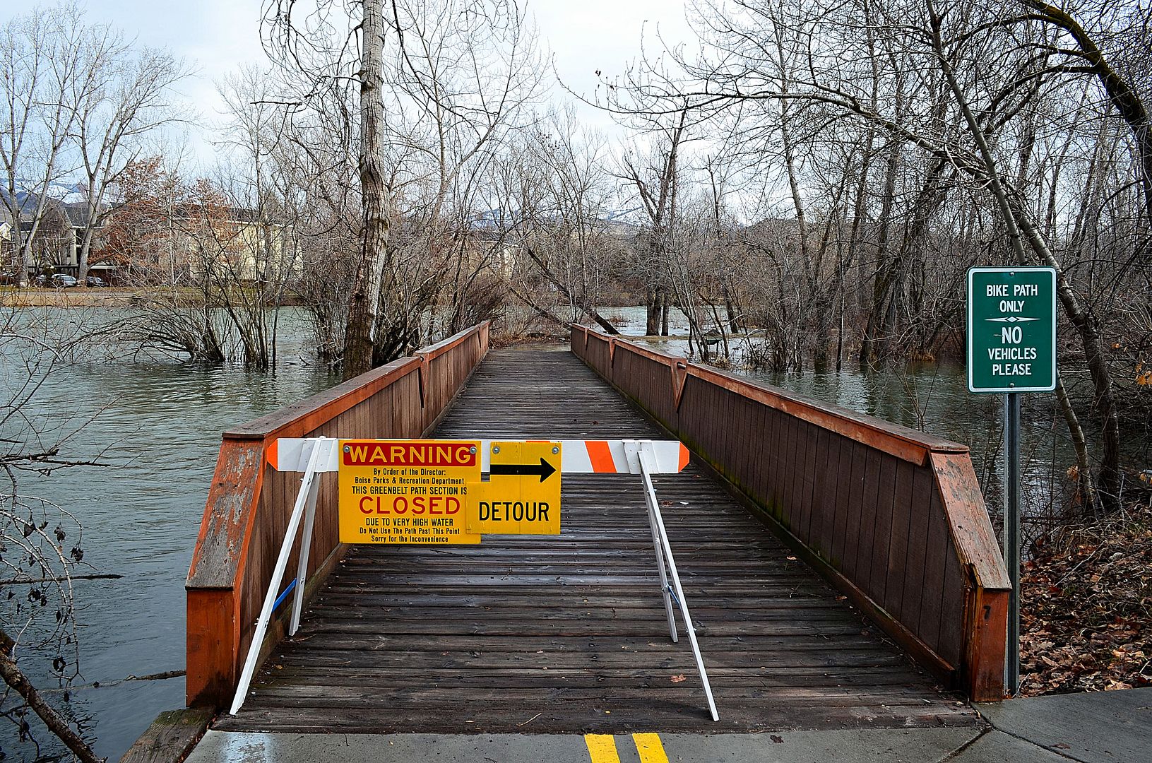
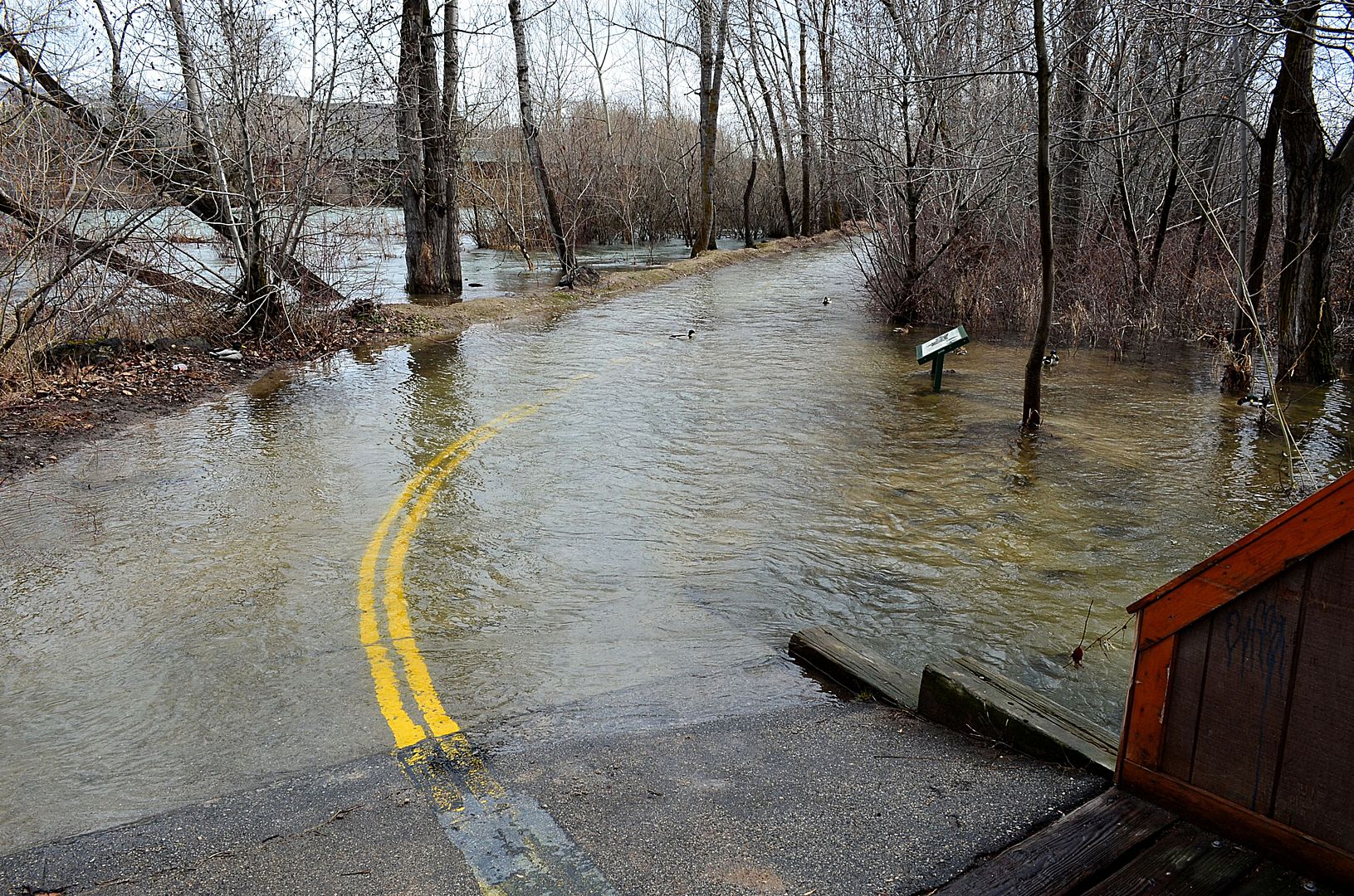
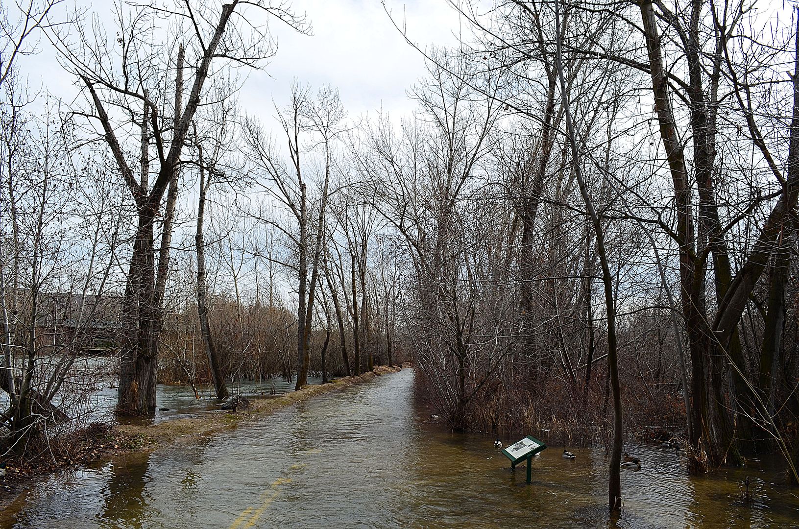
The Boise is already flooding sections of the fabled
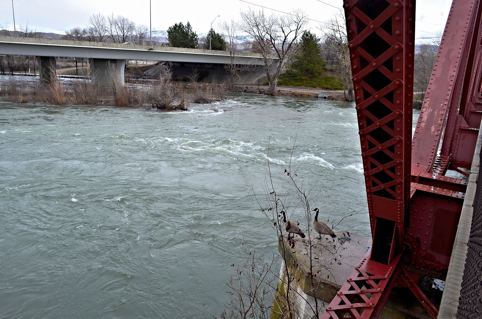
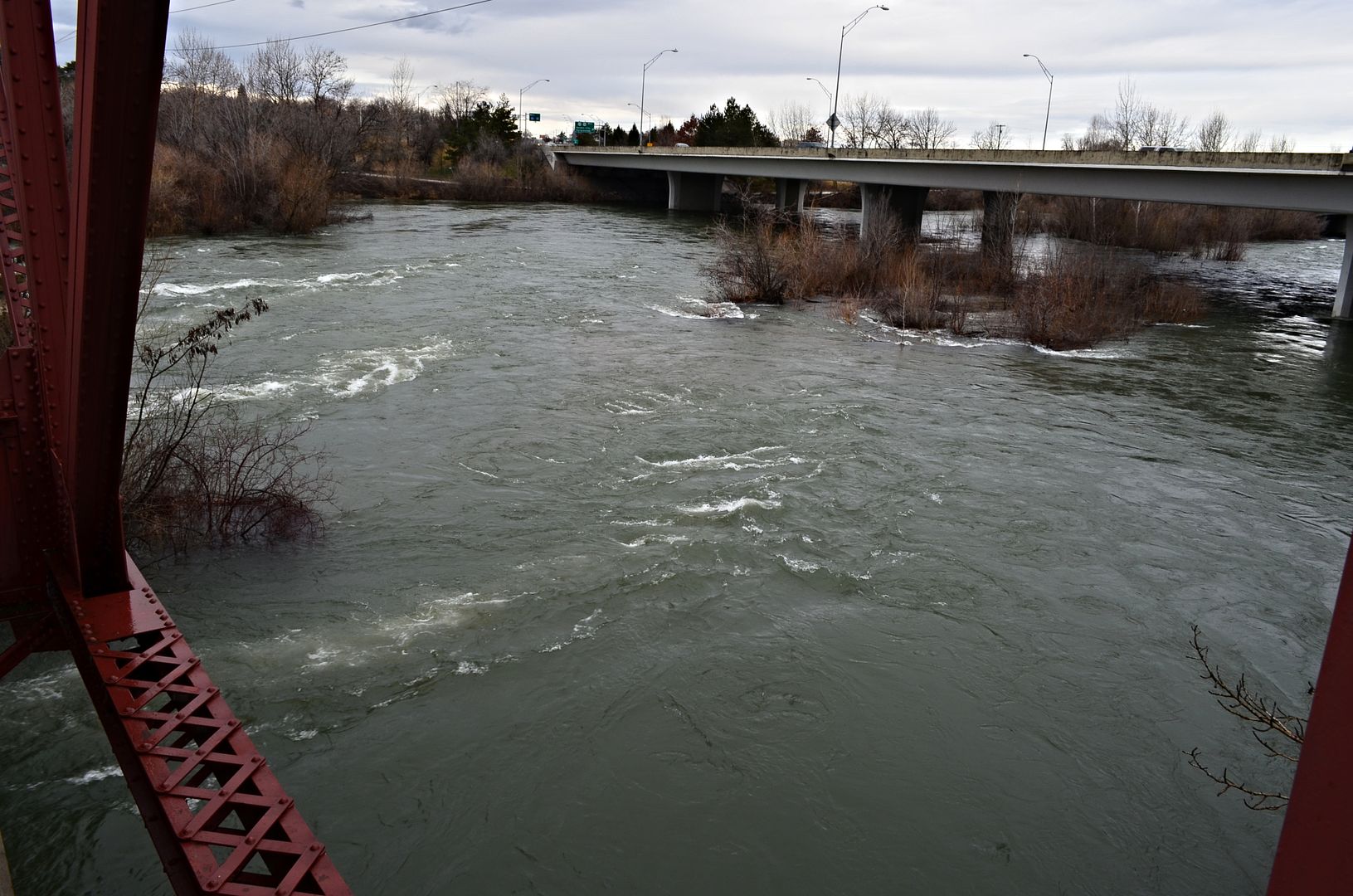
Boise River Greenbelt, but this week the river is expected to hit the flood stage level of 7,000 cubic feet per second as it flows through the city. It is not officially Spring yet and this weekend the mountains are still getting pounded with snow. This is going to be a wet and wild runoff season.
This thread will be ongoing through Spring as a way to remember history and to honor a beautiful river which is one of the main reasons Boise grew into the city it is today.
If anyone else would like to contribute their photos please do it.

Quote:
https://en.wikipedia.org/wiki/Boise_River
The Boise River is a 102-mile-long (164 km) tributary of the Snake River in the northwestern United States. It drains a rugged portion of the Sawtooth Range in southwestern Idaho northeast of Boise, as well as part of the western Snake River Plain.
The Boise River rises in three separate forks in the Sawtooth Range at elevations exceeding 10,000 feet (3,050 m), and is formed by the confluence of its North and Middle forks. The North Fork, 50 miles (80 km) long, rises in the Sawtooth Wilderness Area, along the Boise-Elmore county line, 60 miles (100 km) northeast of Boise. It flows generally southwest through the remote mountains in the Boise National Forest. The Middle Fork, approximately 52 miles (84 km) in length, rises within 12 miles (19 km) of the North Fork in the southern Sawtooth Wilderness Area in northeastern Elmore County. It flows west-southwest near the town of Atlanta, joining the North Fork to form the Boise River, approximately 15 miles (24 km) southeast of Idaho City.
|
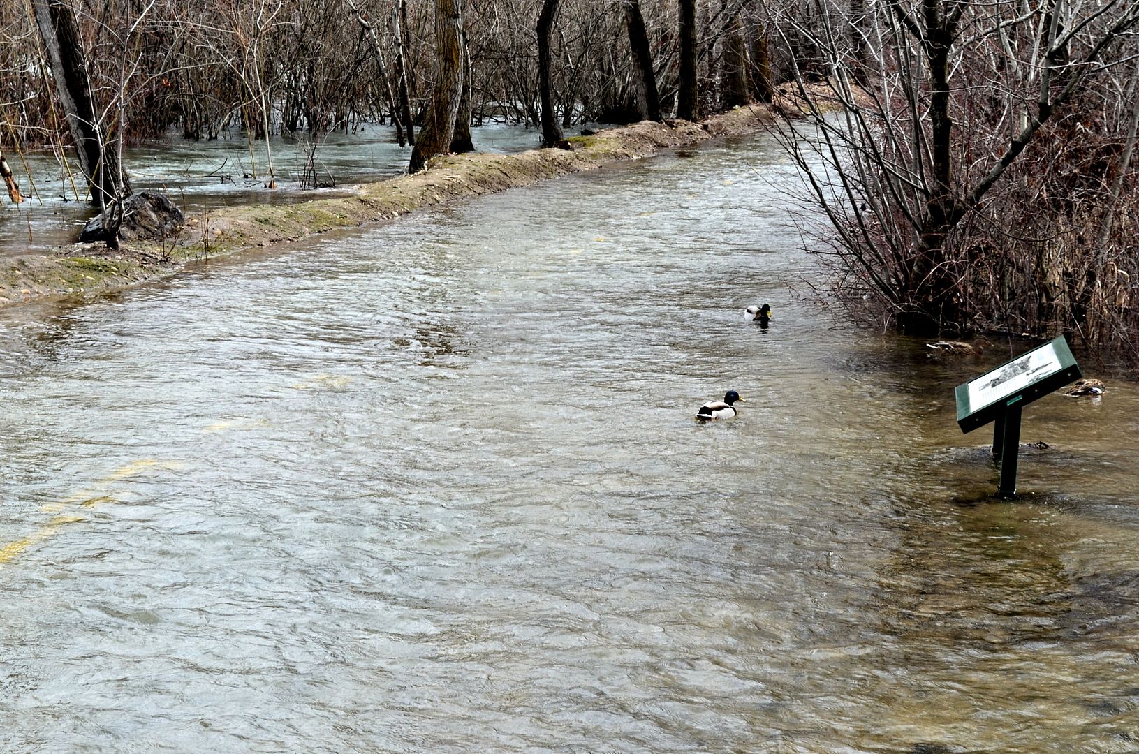
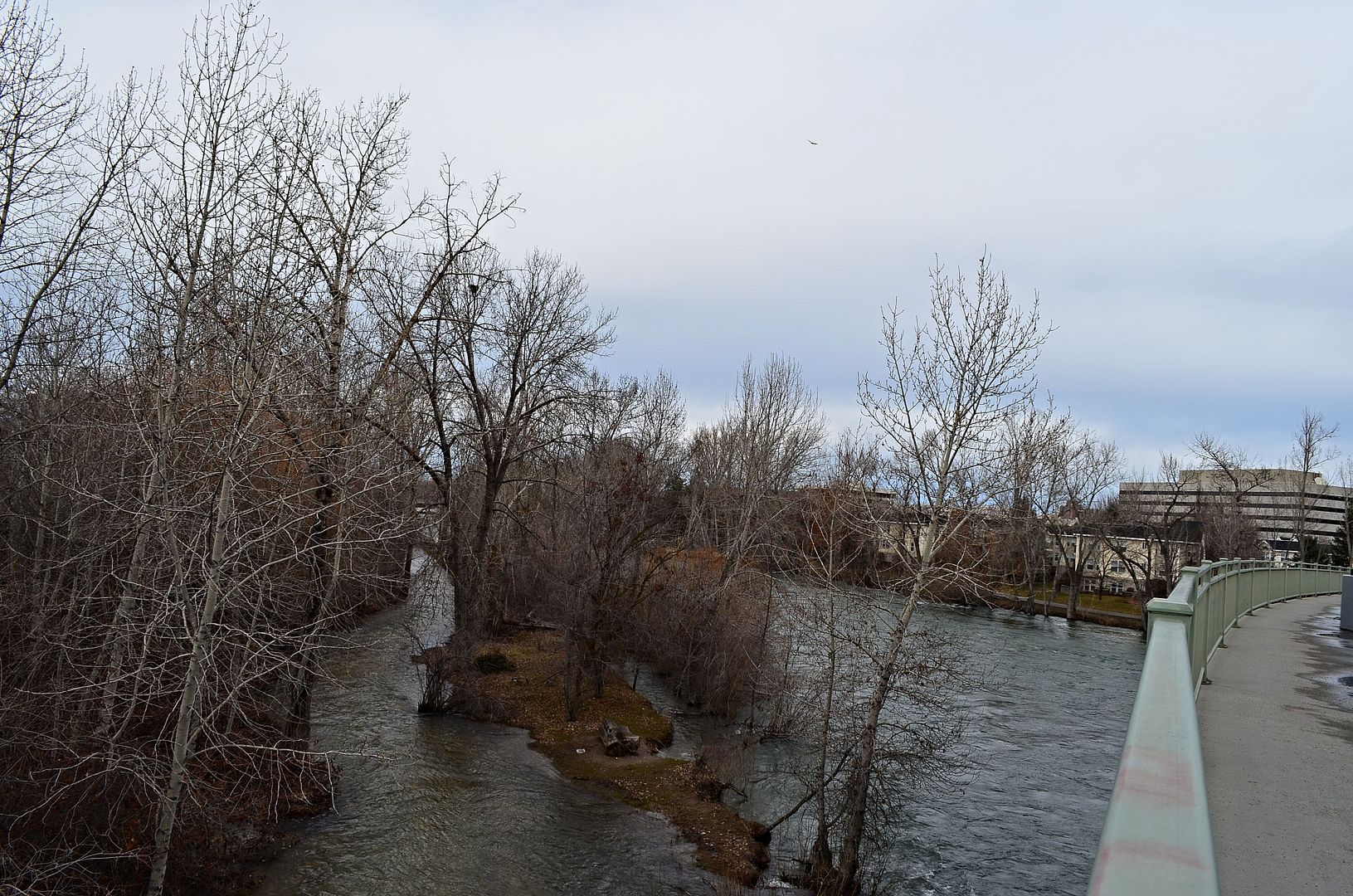
March 4
Near Broadway Avenue
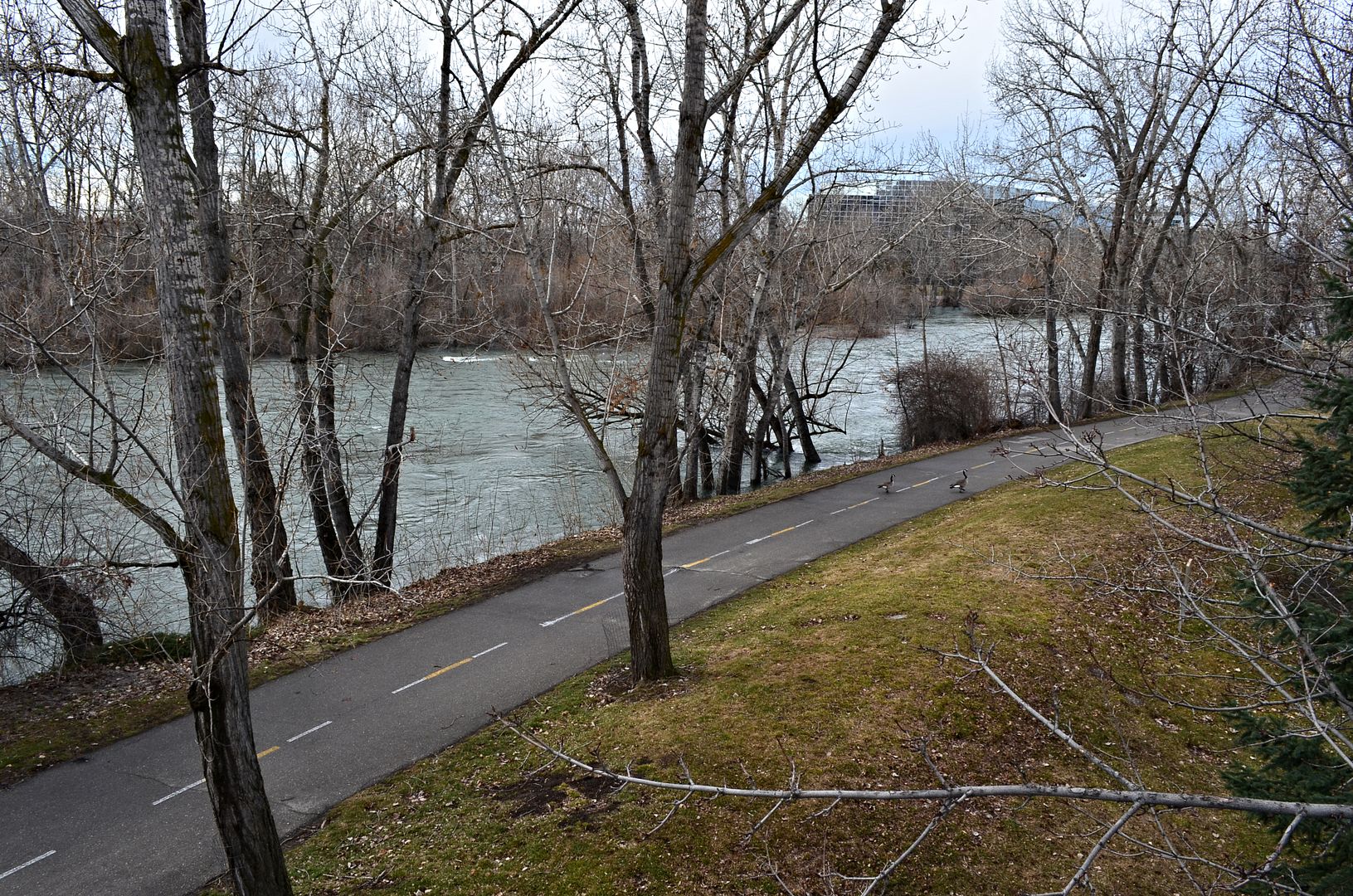
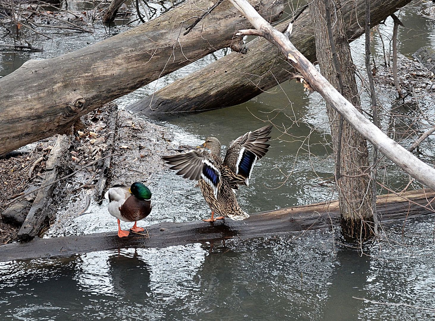
The ducks think they are so cool because they can swim over the
Greenbelt.
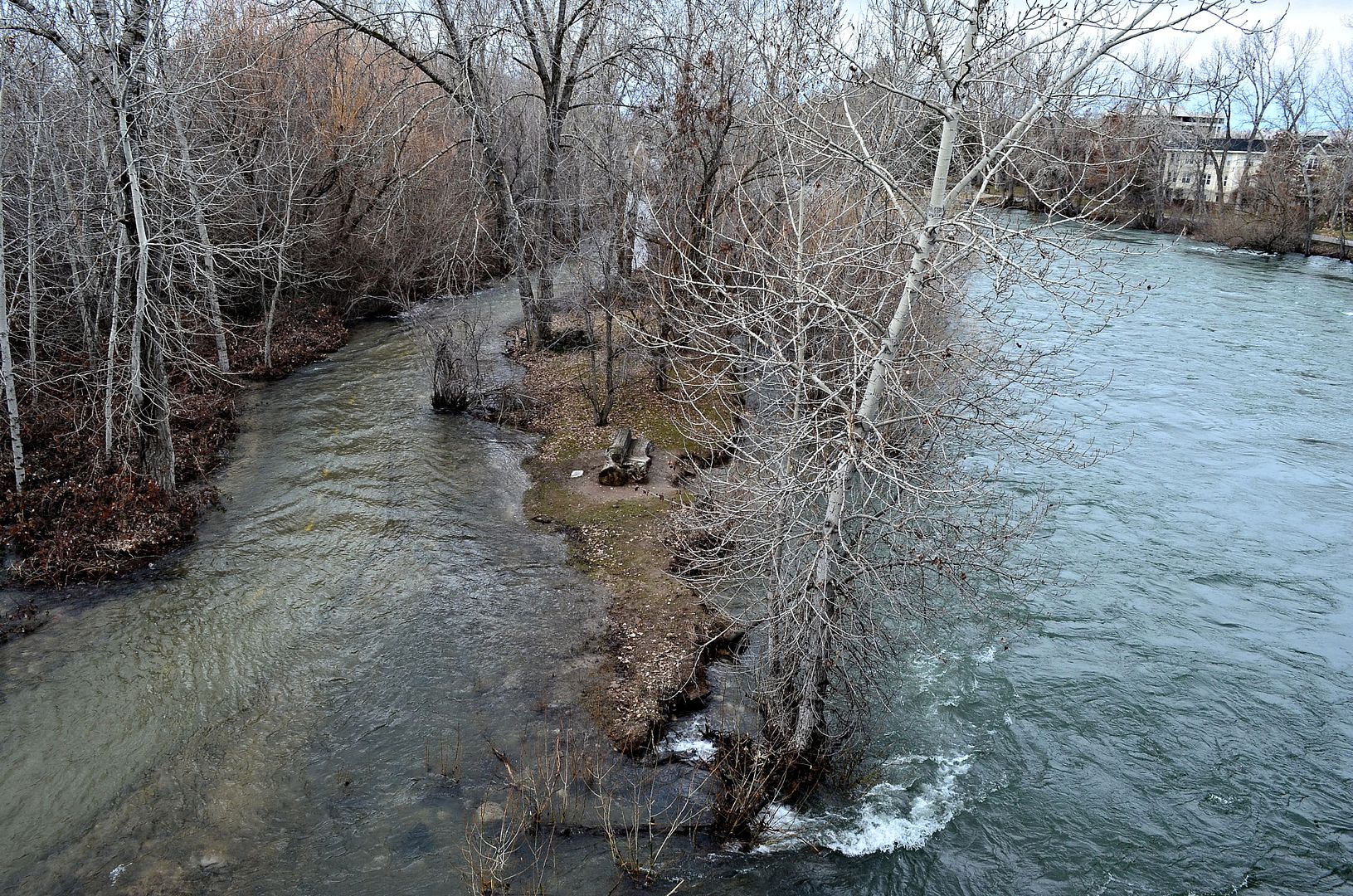
The same stretch to the left of that little island on the south side of the river as seen from the West Parkcenter Boulevard Bridge.
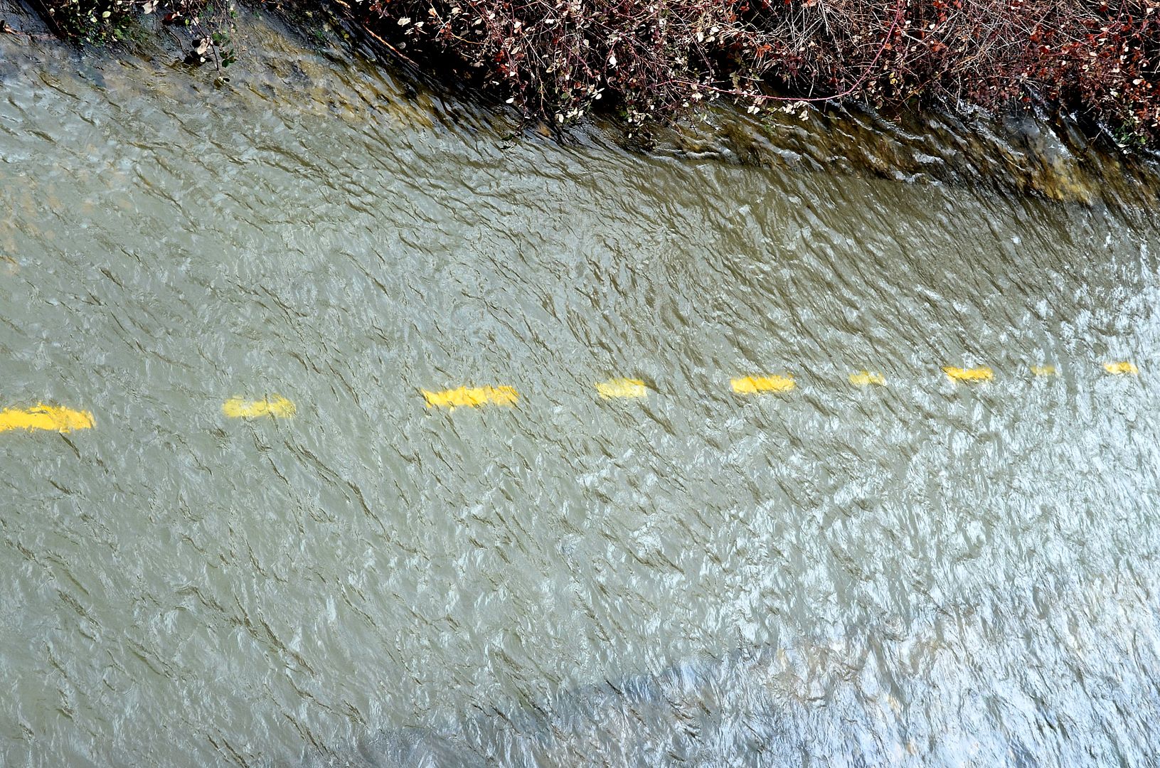
The Northern route is dry for now.
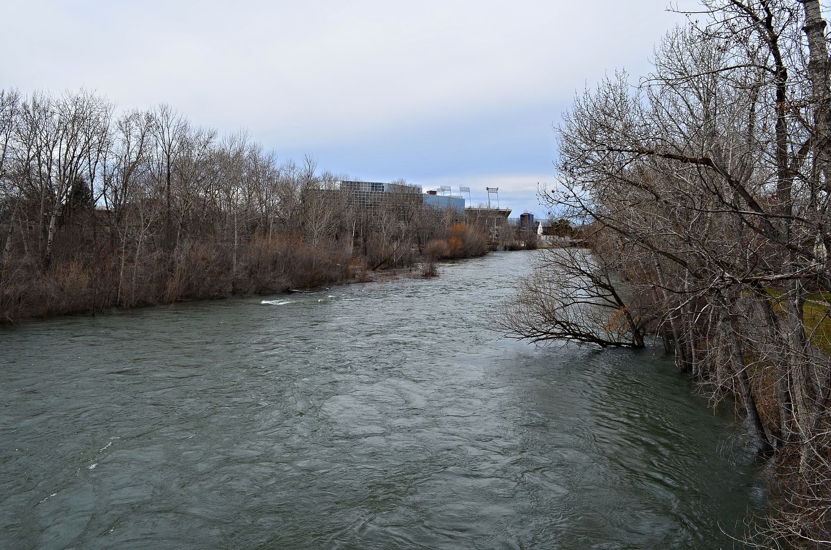
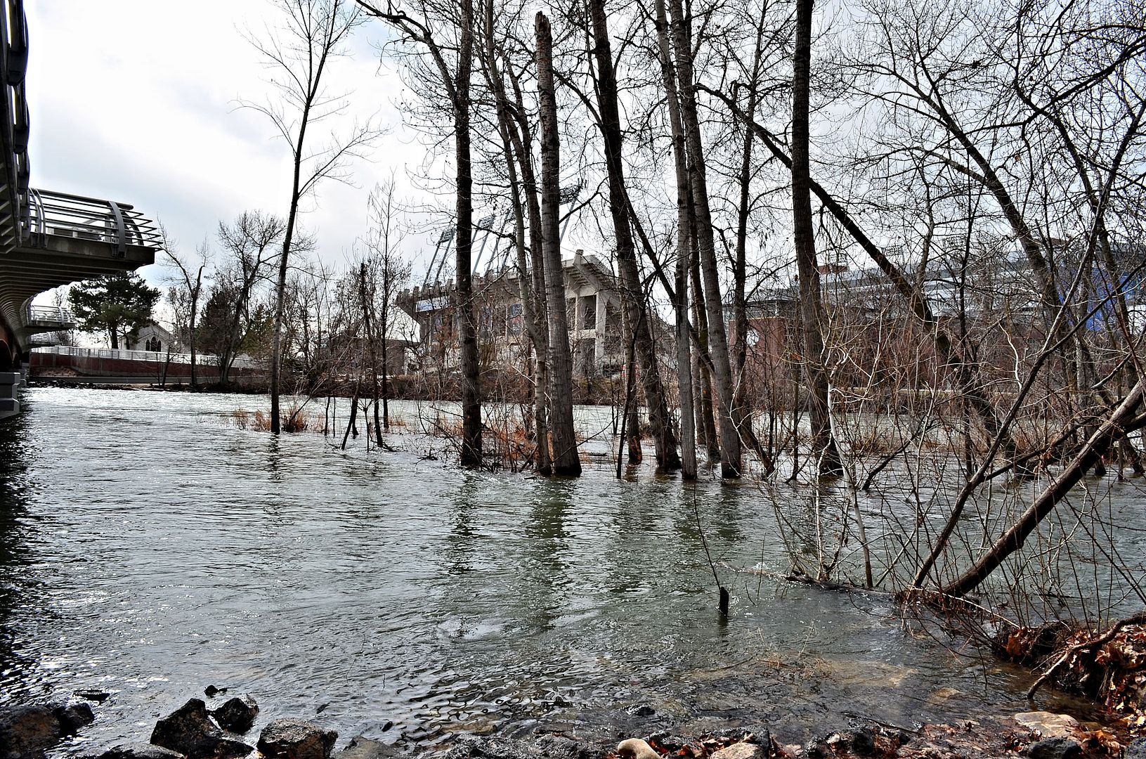
Downstream towards Broadway Ave and Bronco Stadium.
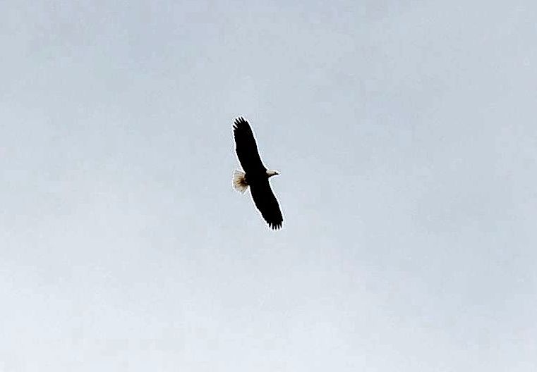
The Hunter
Bald Eagles are common along The Boise River during the winter months.
Coming soon.....hundreds upon hundreds of ducklings
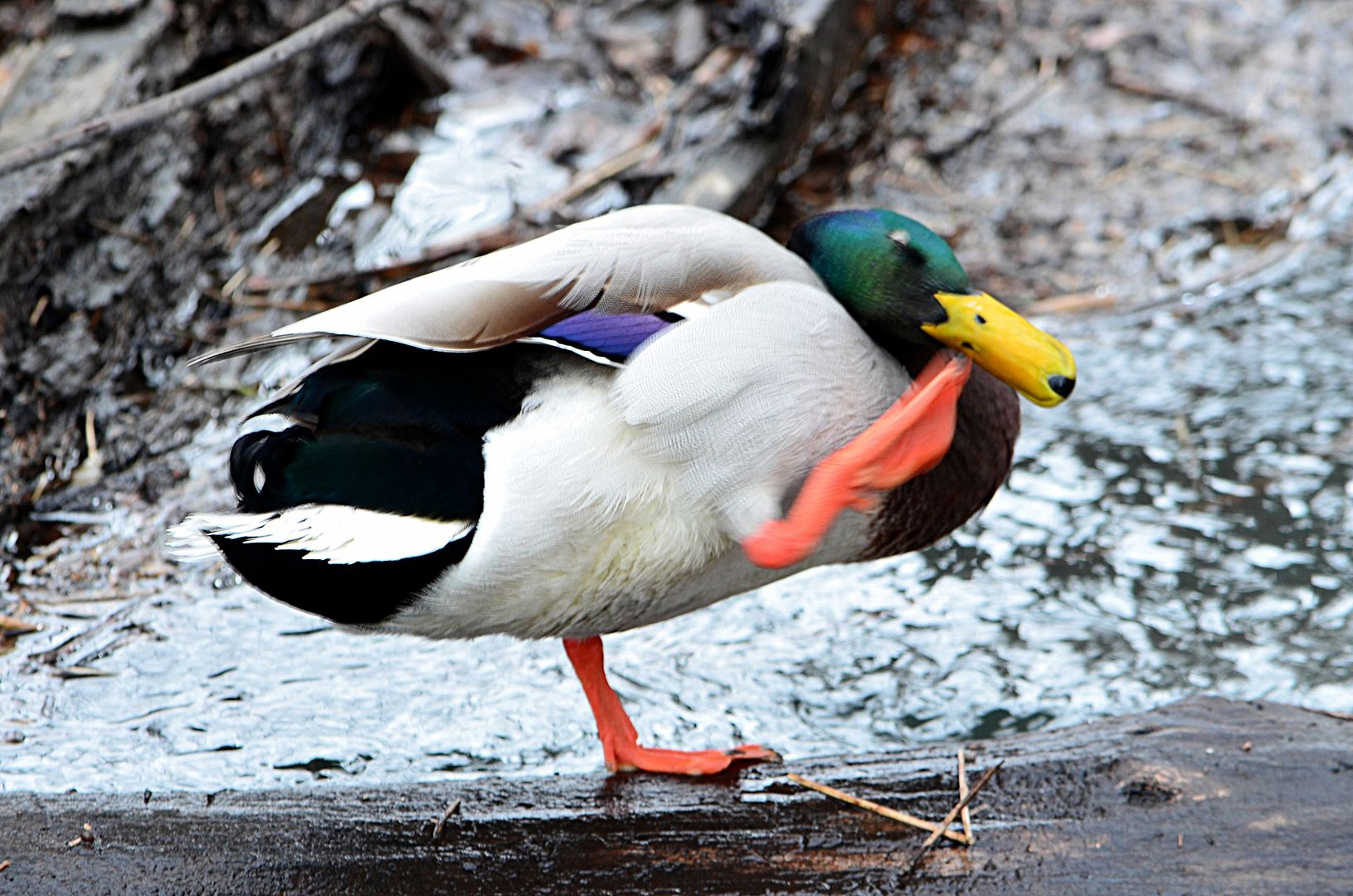
Strike a Pose
Up next, the new Broadway Bridge with views.


 Threaded Mode