Originally Posted by Transport Tycoon

While the specific routing of the entire Southeast and North-Central LRT lines is not yet settled, we do have a general idea of where these lines will be placed and what neighborhoods and destinations they will be serving. Once the SE and NC lines are built, Calgary's LRT lines will be headed to all quadrants of the city.
So what next? Where should the next LRT line go?
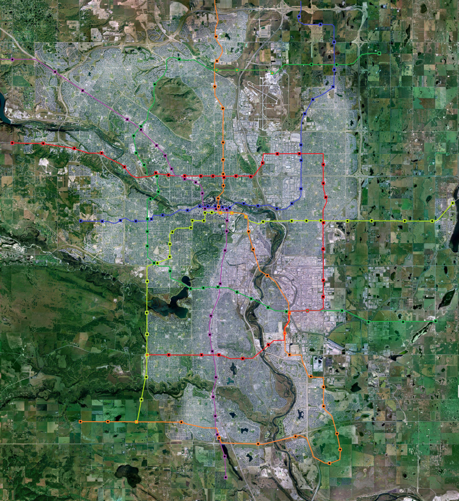
What I would want to see is "The Horseshoe Line". The Horseshoe would act as a connecting line between all existing LRT lines and connect critical destinations to the existing LRT system (including the airport).
The routing of the Horseshoe would be roughly as follows:
• The initial southeast terminus would be just west of Barlow Trail SE, aligned with Glenmore Trail. This station would be shared with the SE portion of the Green Line. From there, the Horseshoe would follow Glenmore Trail, through its Deerfoot Meadows Station, until just east of Blackfoot Trail when it would tack to the north towards a 62nd Avenue SW alignment.
• Following 62nd Avenue, the Horseshoe would tunnel underneath Centre Street and the Chinook LRT Station. An underground Chinook Station (renamed Chinook East) would provide connections to the South portion of the Red Line. The tunnel would then tack back towards Glenmore Trail, with a Chinook West Station underground at the south end of Chinook Centre. The Horseshoe would reemerge above ground west of Elbow drive.
• Following along the north side of Glenmore Trail, the Horseshoe would reach its Rockyview Hospital Station at 14th Street SW (with pedway connection to the Rockyview Hospital). The Horseshoe would then turn northward and run across a dedicated bridge running parallel to the east side of the Glenmore Dam.
• Having crossed the Elbow River, the Horseshoe will curve around the east side of the Glenmore Athletic Park and then follow a 50th Avenue SW alignment to the west. This alignment will be maintained west of Crowchild Trail and onto the Mount Royal University campus towards its MRU Station.
• Continuing on the 50th Avenue SW alignment, the Horseshoe will run along the north side of Glenmore Trail after departing its Grey Eagle Casino Station. The line will curve northwards to follow along the east side of Sarcee Trail. Westhills Station will serve the surrounding community, and another station at 17th Avenue SW will do the same while also providing a pedway connection to the West portion of the Blue Line.
• Another station at Bow Trail SW will precede the Horseshoe's northeast decent towards Edworthy Park. The line will cross the Bow River before heading east towards the Foothills Hospital. Just before 37 Street NW on the south side of 16th Avenue NW, the Horseshoe will tunnel towards its Foothills Hospital Station.
• Departing from the Foothills Hospital, the line will curve towards the northwest, aligning itself parallel West Campus Drive, emerging above ground after crossing west of the western boundary of the University Heights neighborhood. The Horseshoe will proceed towards its Childrens' Hospital/West Campus Station on the east side of West Campus Drive, before continuing on this alignment towards the intersection of Shaganappi Trail and 32nd Avenue Northwest.
• The Horseshoe will follow Shaganappi Trail NW, through its Market Mall Station, towards a new shared station with the NW portion of the Red Line, with a pedway to Northland Village Mall. The line will then continue along the east side of Shaganappi, through its Edgemont/Nosehill Park Station, before curving around the north end of Nosehill Park to align itself with Berkshire Boulevard NW.
• The Horseshoe will follow the north side of Berkshire Boulevard before tunneling under Beddington Trail NW, underneath the south tip of the Country Hills Golf Club, while placing itself on a parallel alignment with South Road NE. The Horseshoe will then follow this alignment until running along the south side of Airport Trail NE after crossing Deerfoot Trail.
• The Horseshoe will curve towards the airport terminal at 19th Street NE with stations at the current terminal's north end and at the new international terminal. The line will then curve back north back towards Airport Trail, and then east towards the Airport Tunnel.
• Once through the Airport Tunnel, the line will proceed to meet the NE portion of the Blue Line at its terminus in NE Calgary, thus completing the Horseshoe. Ultimately, this line could be extended to follow an alignment south down 100th Street E to complete a ring once it meets with the southern tip of the Horseshoe at Glenmore Trail – I guess they'd have to think of a different name at that point.
Is this impossibly expensive? Maybe. But Calgarians should get this discussion going so that plans can be laid for a clear vision of our transit future. Cable cars across the Bow River would not be anywhere near this useful. The Horseshoe would connect all existing LRT lines, 3 Hospitals, 5 Shopping Destinations, 2 Post-Secondary Institutions, the Airport and a Casino. Imagine the possibility for someone living on or near an LRT line – you could get just about anywhere in the city with one transfer. Further, the Horseshoe would promote increased inner-city densification – live in the Beltline and train out to work instead of the other way around.
What are your thoughts on the Horseshoe? Where do you think that the next LRT line should go? What purpose should it serve?
|


 Linear Mode
