Quote:
Originally Posted by HossC


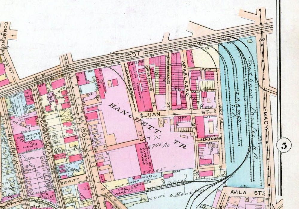
In case anyone is wondering about the location of Apablasa/Apablaza Street, it was one of the streets lost when Union Station was built. It can be seen here on the 1921 Baist map. Alameda is the street across the top.
 www.historicmapworks.com
 |
Huntington Digital Library has a big group of photos that I think are from the same set
Godzilla posted. I think they're all areas that vanished when Union Station was built.
We have some familiar streets like Aliso. This is 327-335:
 HDL
HDL
As well as Marchesssault. This is 309-313:

Then we have some less familiar streets, such as Ogier Street. Here's 318-326:

347-351 Ogier:

These next two were taken at 738-742 & 824 Date Street, respectively:


717-721 Avila Street:

Finally, Bauchet Street, which I find particularly alluring for some reason. All pics are taken in the 300 & 400 blocks:


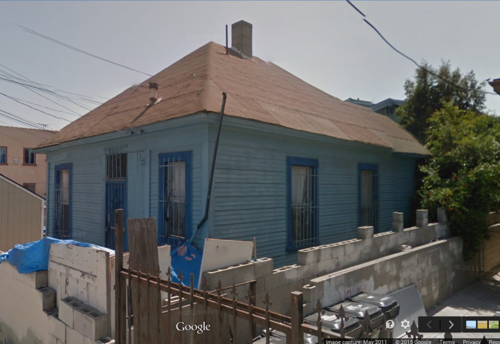
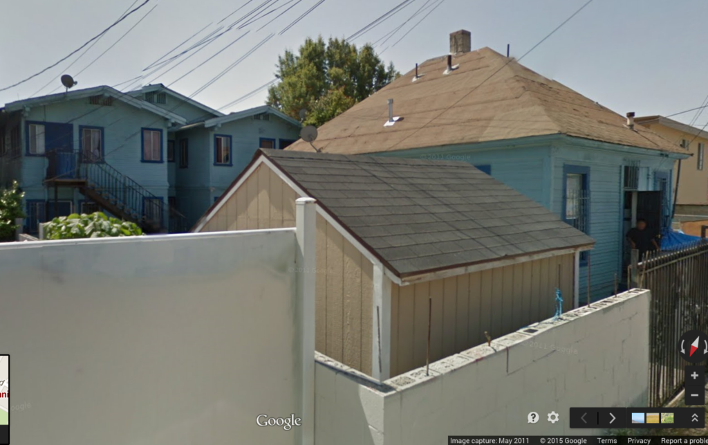
What are those mini oil-derrick-looking contraptions on the roof of the house at left, below (also at right in the photo above)?


I found a few of the streets in question. Avila, Bauchet, and Date all appear on the map below. No sign of Ogier Street though.
 Historic Map Works
Just so you can get your bearings, the street at far left is Macy Street.


 Prev
Prev


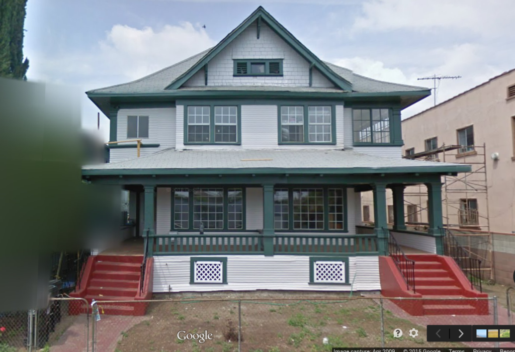
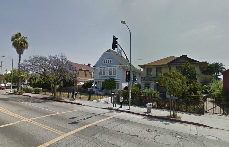
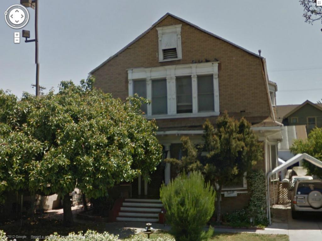
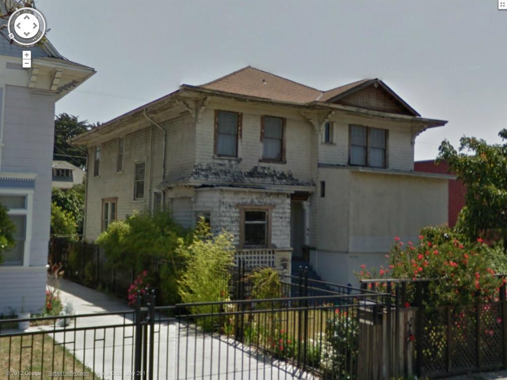
 GSV
GSV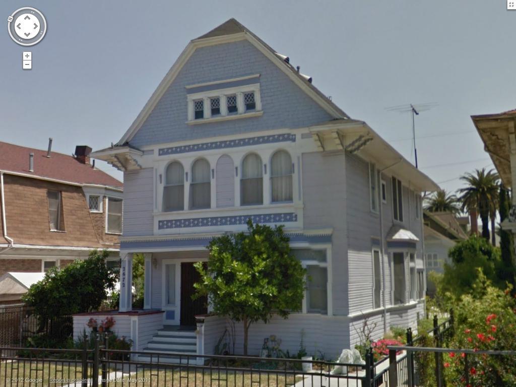


 Linear Mode
