Quote:
Originally Posted by tovangar2

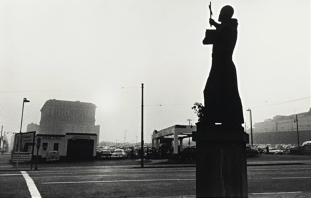
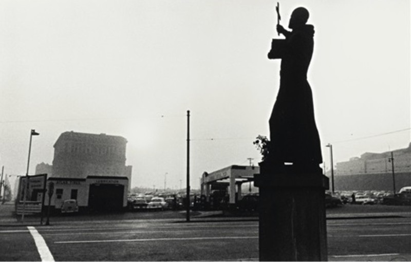
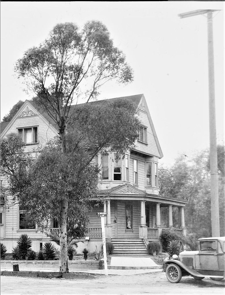
Are we in agreement that the Serra statue was on the traffic island?.
Do you remember that placement MR? I'm drawing a blank.
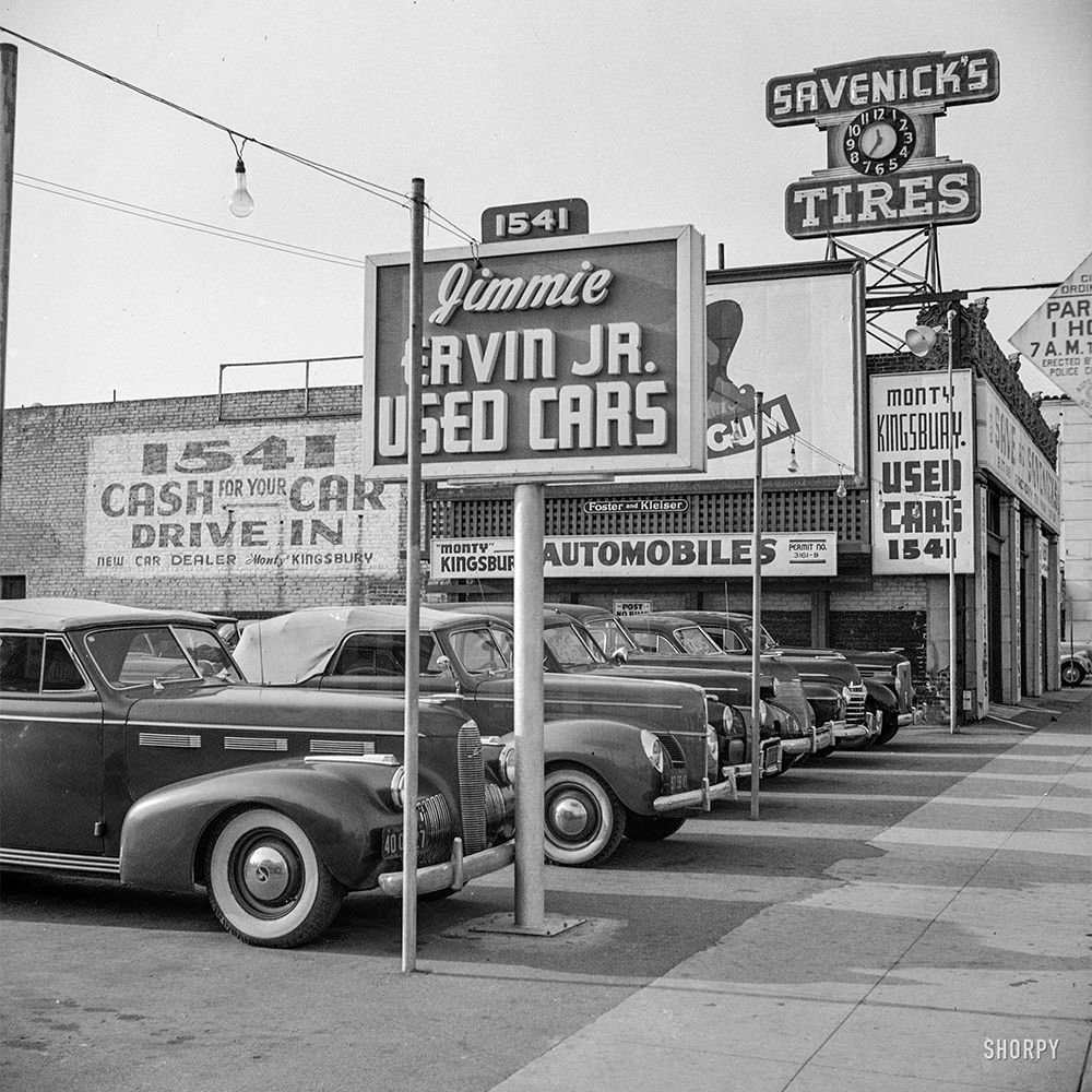
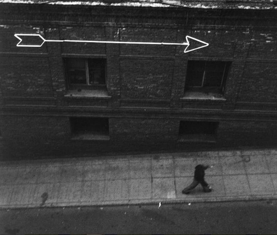
The fellow on the stairs is heading towards the back of La Colima e_r. MR's photo doesn't show that; Colima is out of shot to the right, see here:
.
|
Yes T2, on the traffic island...
 Fort Moore Hill, Los Angeles, aerial view, 1947
Aerial view of Fort Moore Hill looking west along Sunset Blvd. The Hall of Justice is at left on Broadway and Temple with the realigned Spring Street running from left center to lower right. Interestingly, Justicia Street was still showing on maps (as a stub or 'dead end') hard by the Hall of Justice and in this image you can still make out the Justicia roadbed, running parallel to Spring St., now being used primarily for parking. Also just below the north portal of the Broadway tunnel the dirt entrance to Justicia is still evident. The Board of Education headquarters is near the upper right, south (left) of Sunset and Bozzani Motors, lower right, west side (above) of Broadway, north side (right) of Sunset. Father Serra waits patiently on the traffic island looking across Sunset at N Spring Street, lower right.
LAPL
Look closely here...
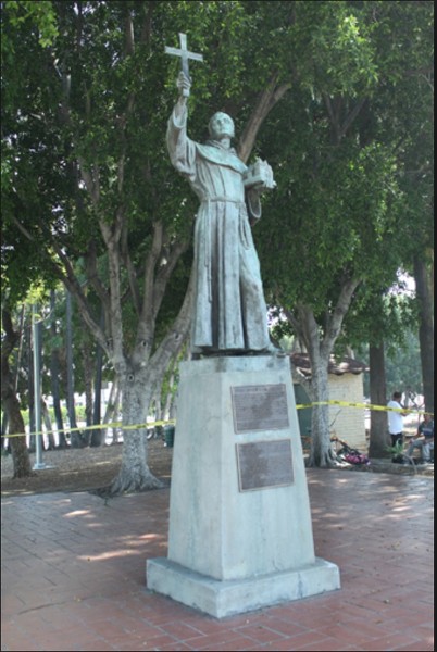
 Sunset Boulevard at New High and Spring Streets, 1940
Looking northeast from just west of where Sunset Boulevard (center) crosses New High (right, just beyond the Chevron sign and left, just beyond the Mobil sign) and N. Spring streets (right foreground, nearer side of the Chevron sign and far down the block in front of the Bamba Club). Father Serra is standing on the traffic island and is seen just below the 'C' in 'Bamba Club'. Seen are the United States Post Office Terminal Annex (left), a Mobilgas service station (left), a Chevron service station (right), various stores, a Calvert whiskey billboard, the gas holders (gasometers) of the Los Angeles Gas Company, and the tower of Union Station (upper right). Photograph dated April 9, 1940. In 1940 this section of Sunset Boulevard is about to be rerouted to the left, which is here a short section of Bellevue, so as to hook-up with Macy at N. Spring just to the left of the Bamba. Here Sunset runs down to the right where it meets Marchessault at the Plaza.
LAPL/Blackstock Negative Collection


 Prev
Prev


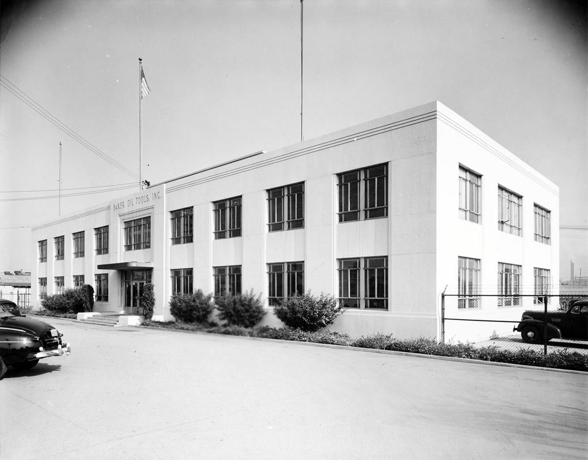
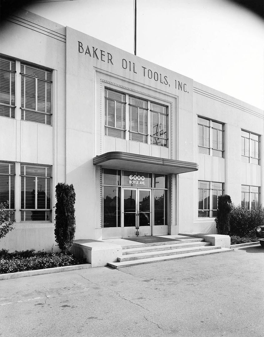


 I believe this company has something to do with Howard Hughes, but I'd need to do some research to say for sure.


 )
)


 Linear Mode
