Quote:
Originally Posted by oldstuff

Another note: from the 1920's through to about 1953 there were airports in the area, which are no longer there. Most notably Vail Field, which was located just southwest of the area of the beacon. There are maps on the site "Abandoned Airfields" which show its location as well as that of Montebello Airport, later East Los Angeles Airport, which was founded in the early 40's and lasted only into the early 50's. Some old maps show as many as three other airfields in the area. If someone who can post pictures would check the site and post the maps it would be clear where they were located. Vail in particular, was used apparently as a training field during the war.
When looking at a current map of the area, we see Vail Avenue and also interestingly "Mines Avenue" also in the area, Mines being the original name of LAX
|
The Abandoned & Little-Known Airfields site is a great resource. I've used it many times before while looking for filming locations. The section on Vail Field can be found
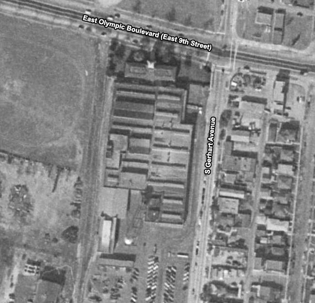
here (scroll down for Montebello Airport/East Los Angeles Airport). The site has plenty of pictures of both airfields, including more detailed aerial shots. What I've aimed to do is give an overview of their location. Vail Field is the dark, triangular shape in the top half of this 1948 aerial view. East Los Angeles Airport is just right of center in the lower half.
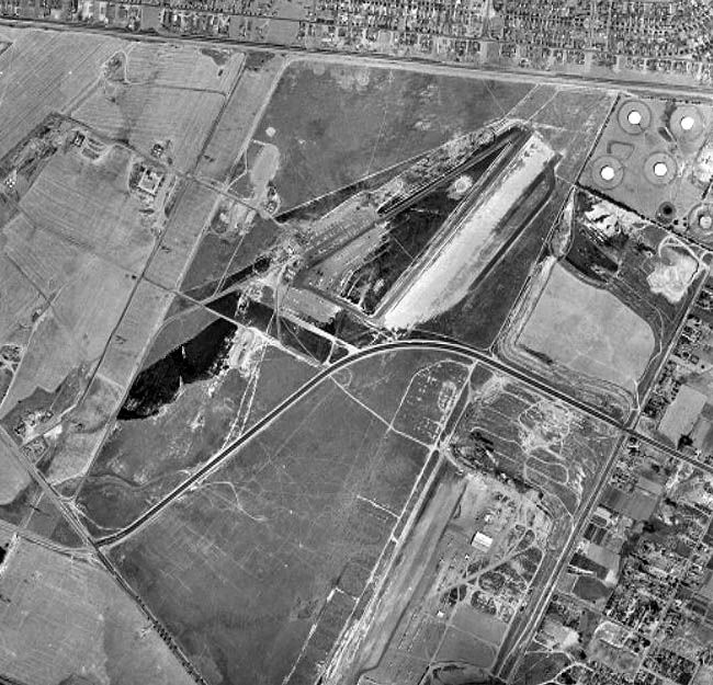
Historic Aerials
This is the same area in 2004. Other than Vail Avenue (mentioned by
oldstuff), I don't think there are any reminders of the various local airfields. I've included the triangle of Vail Field for reference.
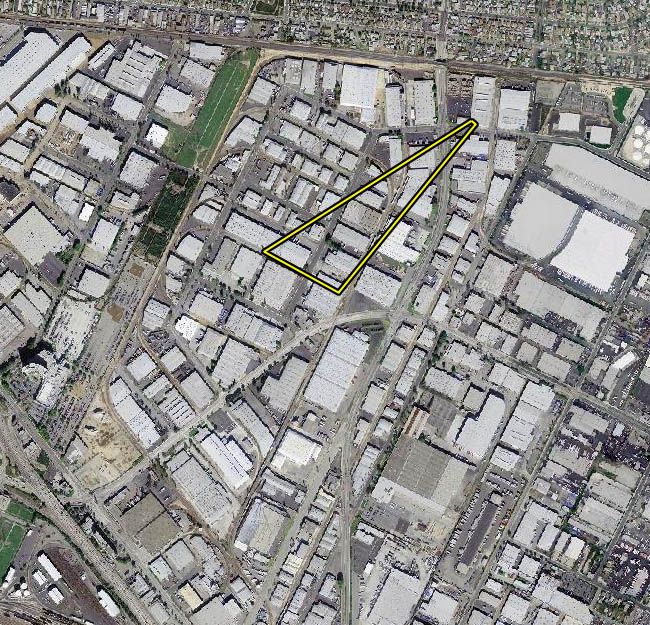
Historic Aerials
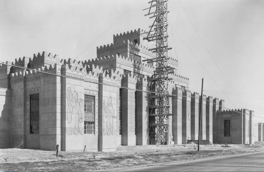
I originally posted the picture below back in March (see
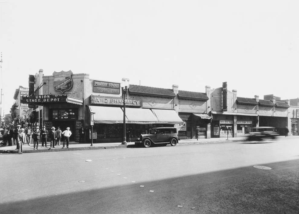
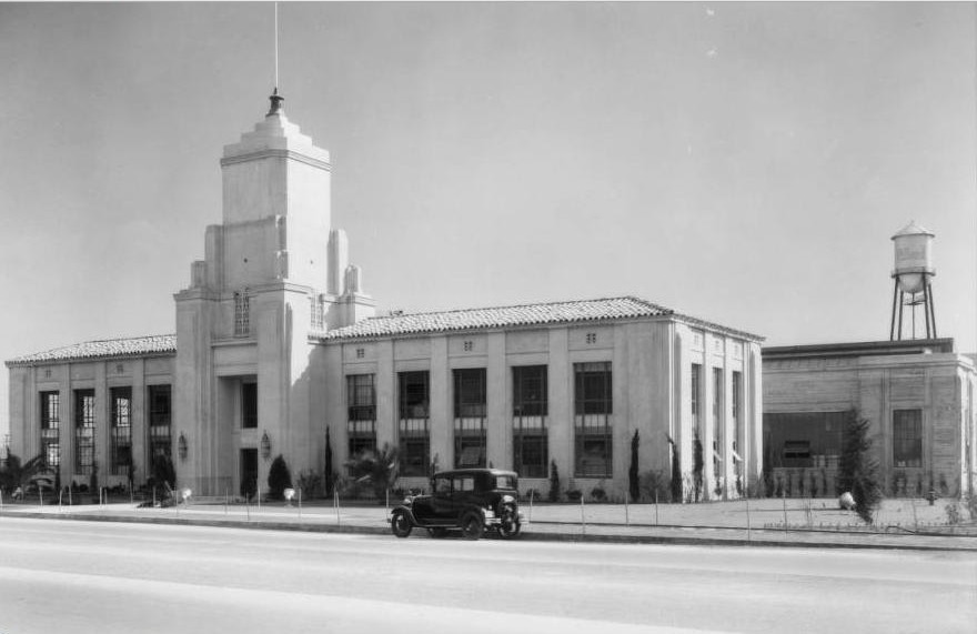
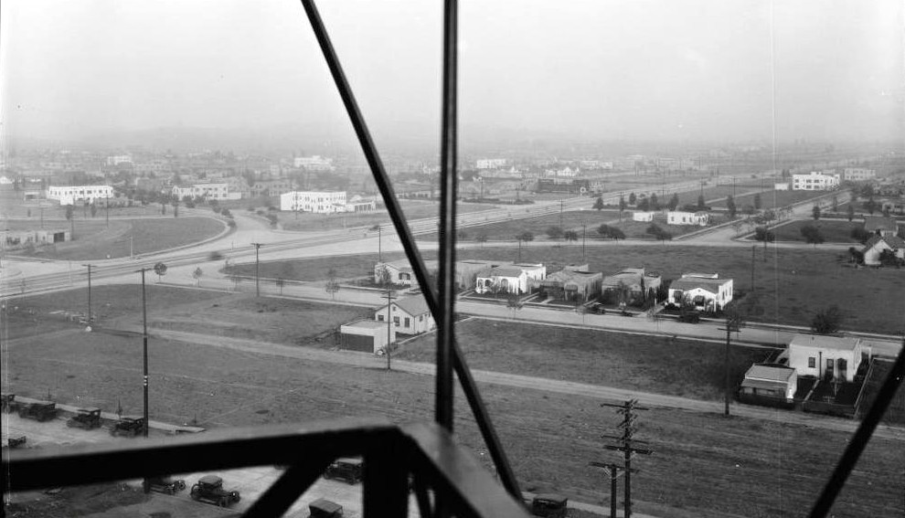
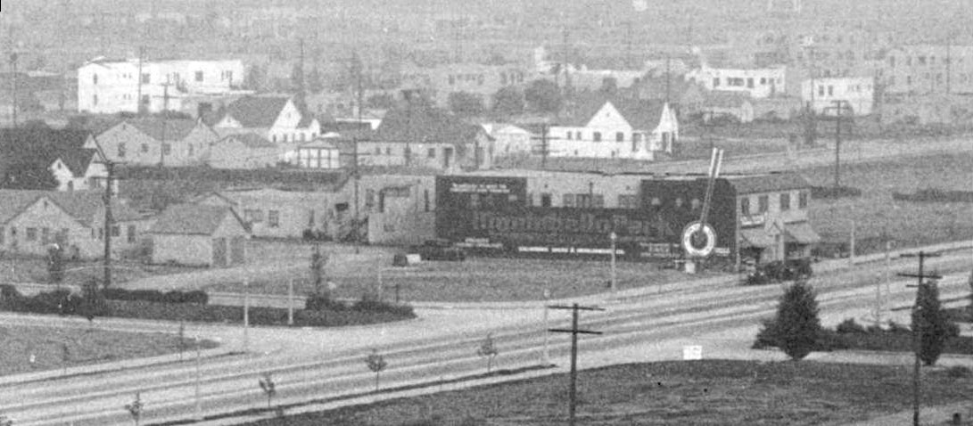
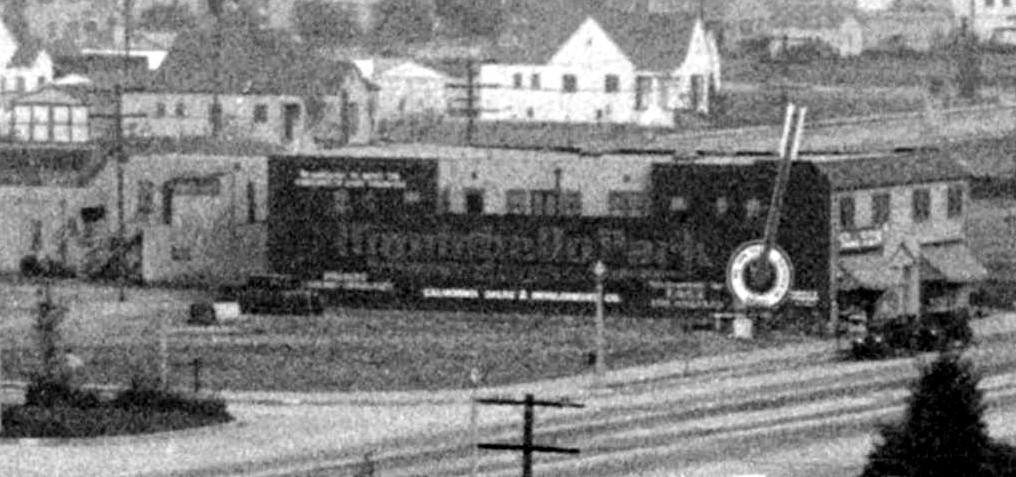
here for full post). It shows the Samson Tire and Rubber Company (now the Citadel Outlets) circa 1930. Vail Field is just out of shot, but would've been on the east side of the field near the top on the right side. I think this picture gives a good idea of how unpopulated the area was when the airfields were built.
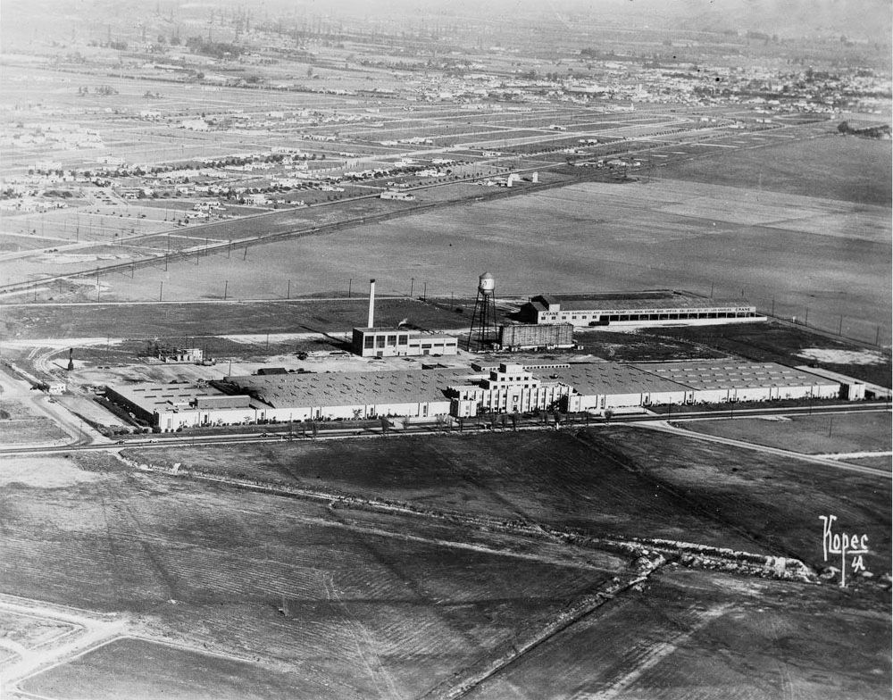 USC Digital Library
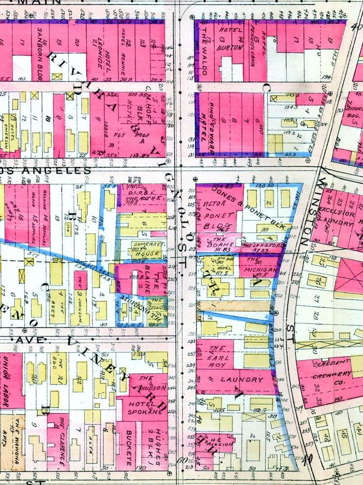
The map below shows where four of the former airfields were located, and their position with respect to the Standard Oil Beacon discussed recently.
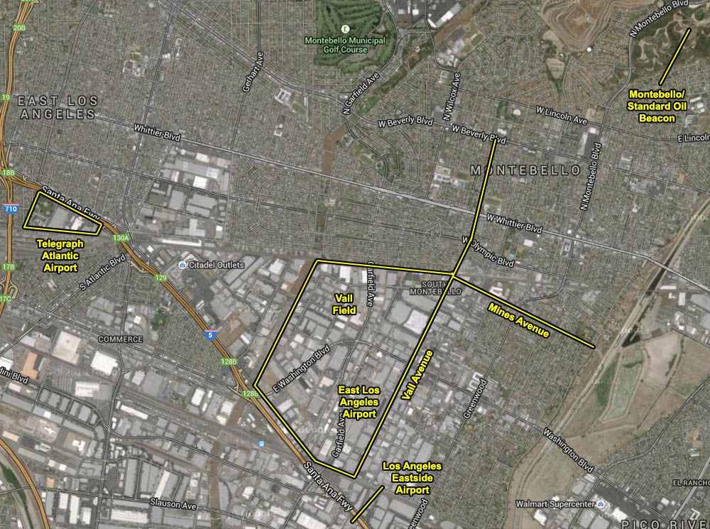
Google Maps
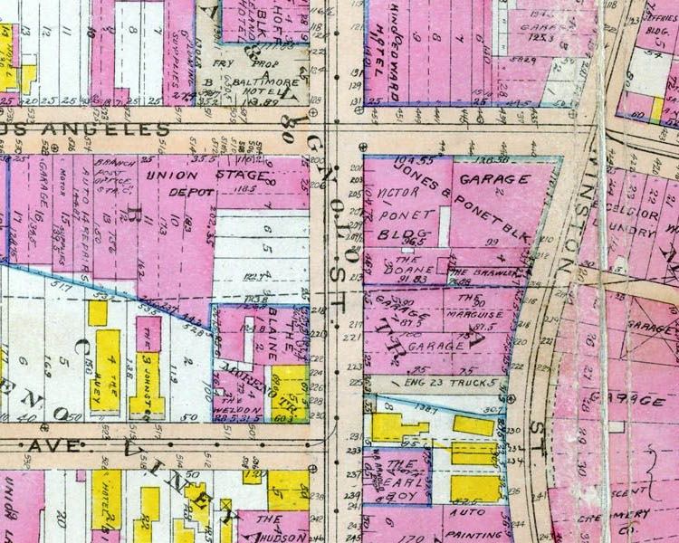
The fancy street layout directly north of Vail Field was included in
post #20383 by
e_r.


 Prev
Prev


 )
)


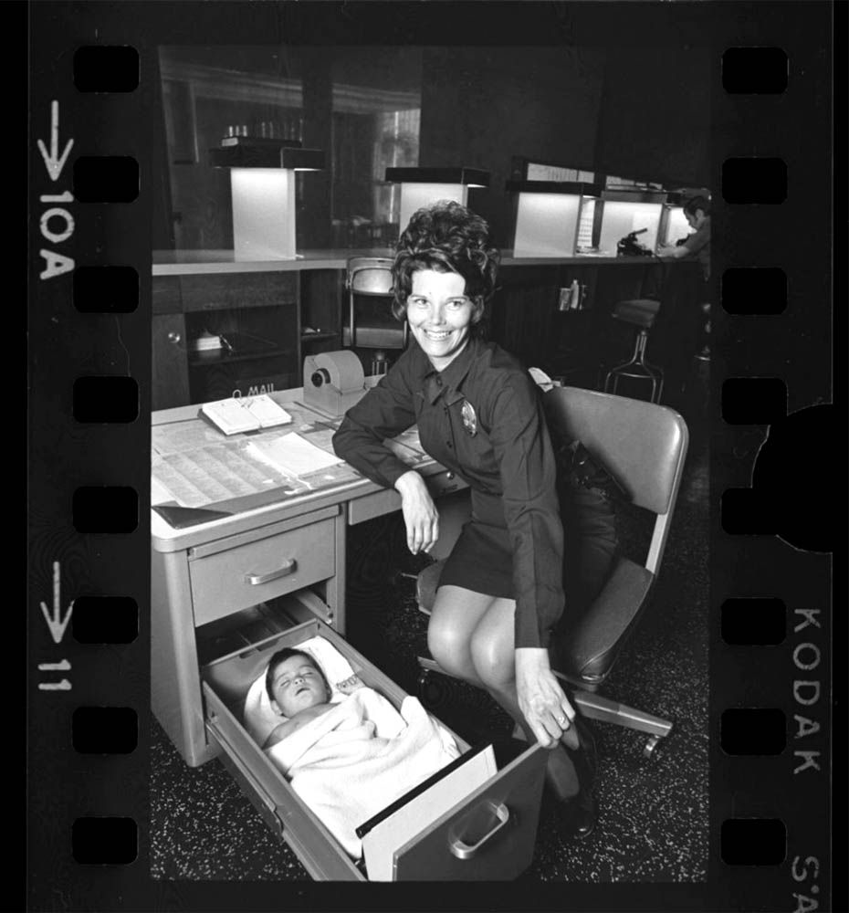
 Aw, soooo cute! -and the baby isn't bad either.
  ebay
ebay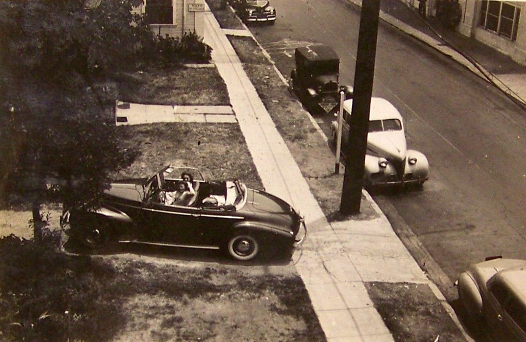


 Linear Mode
