Quote:
Originally Posted by HossC

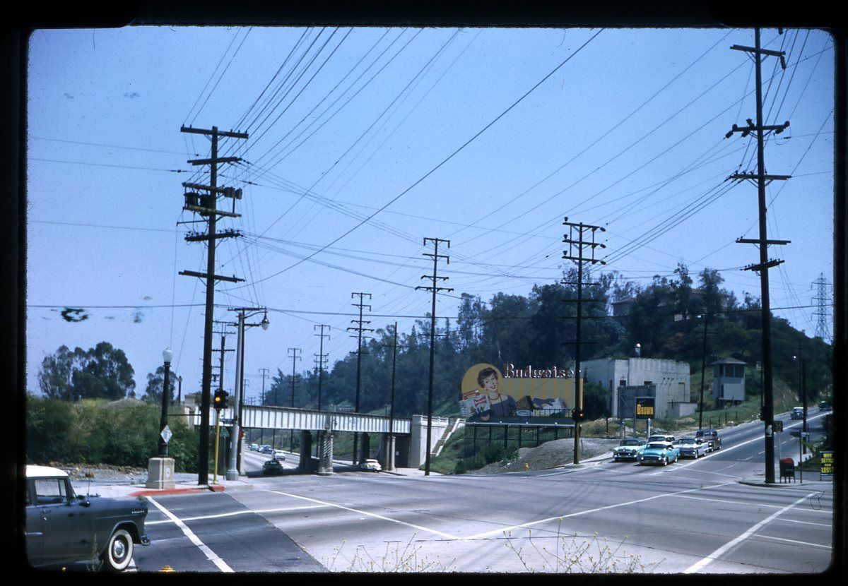
The aerial shot posted by e_r shows Disneyland in 1956. It hadn't changed much by 1963.
 Historic Aerials
This shot is now 10 years old, but it shows how the park grew to cover the original parking lots and then some.
 Historic Aerials
For comparison, here's how the area looked just three years before e_r's picture (and two years before the park opened). These are the orange groves and walnut trees that Mr Disney acquired to build his park. |
Just wanted to point out that in the 10-yr-old photo, while that is all still the "Disney" Empire (I can legitimately call it that now that they own Star Wars) it is far more than just the Disneyland park. The original park still holds to the original footprint for the most part. The area directly north of the park in the 1956 photo is now administrative buildings for the Empire.
The area south and east of the Disneyland park, what was parking lots in 1956 is now Disney's California Adventure - a 2nd theme park with it's own $100 daily admission fee that opened in 2001 (so just 3 years before the "recent" aerial photo). There's a central entrance plaza between the two parks that allows them to just run a single shuttle service from parking lots and hotels and this is clearly visible in the recent aerial - a large squarish area just south of Disneyland's Main Street (there's a circle visible in the middle of Disneyland and Main Street runs due south).
The area south and west of Disneyland is both one of the Disney resort hotels on the property and also Downtown Disney - the mall that is open to everyone, without any entrance fee. Shops, restaurants, nightclubs, movie theater.
To the west of the park across West St or Disneyland Dr is the Disneyland Hotel and looks to be so in 1956 as well. Downtown Disney extends to this hotel. There's at least one other Disney resort on that side as well currently.
The modern parking structure is at the top left of the more recent aerial. Just to the right of it you can see the many traffic lanes swooping in to for all the guests flowing in off the 5 fwy.
I have a terrific photo of an old map of Disneyland from the 1960s that I saw when visiting the Hollywood Heritage Museum a couple of years ago. It's a great snapshot of how things were planned at the time to compare to what is there now. I'll have to dig it up and start a hosting service so I can post it. I also got some great photos of the movie set that inspired Hollywood and Highland while I was there.


 Prev
Prev


 )
)
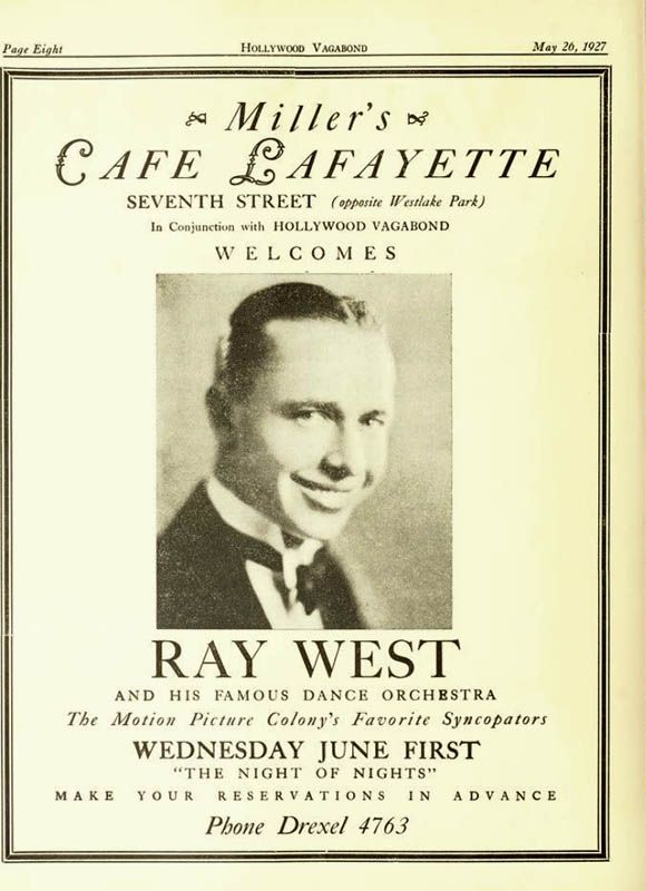
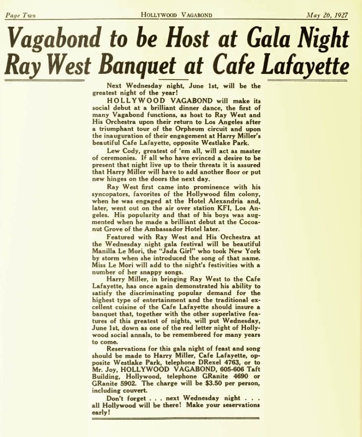
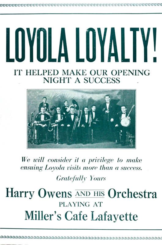
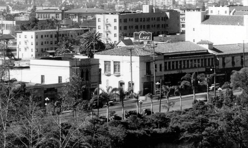

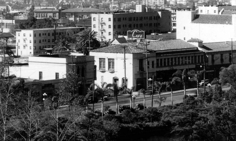
 Thanks for digging up the additional information on the Café Lafayette HossC.


 ) was to visit Disneyland.


 Linear Mode
