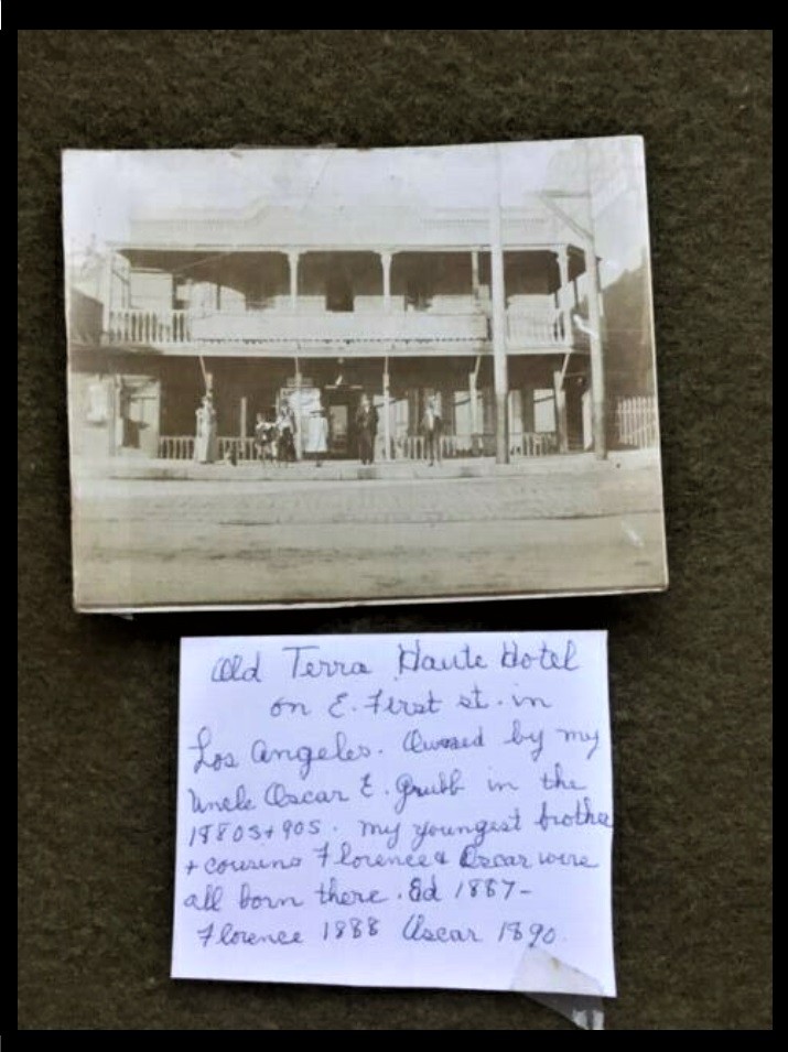
.
First of all, I'd like to thank
Beaudry for bringing our attention to this treasure trove of
remarkable photographs.
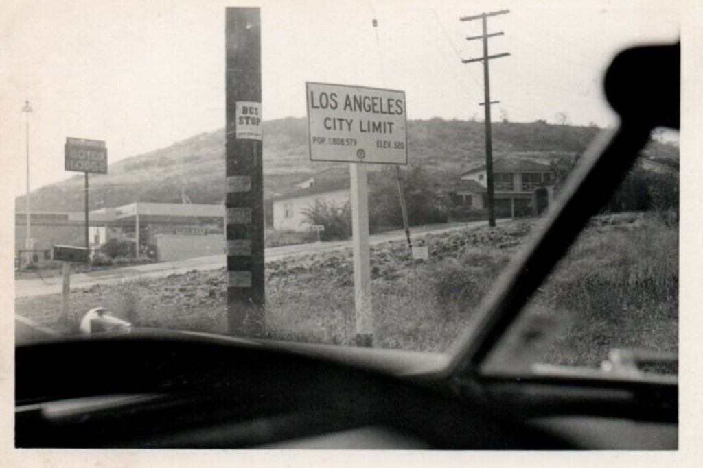
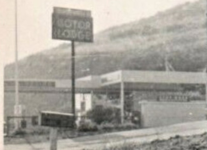
I have a couple areas in this photograph that intrique me.
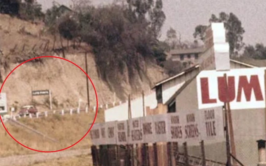
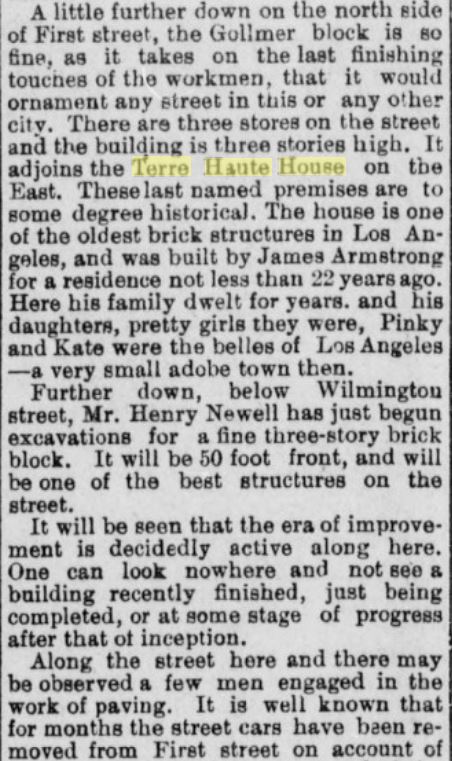
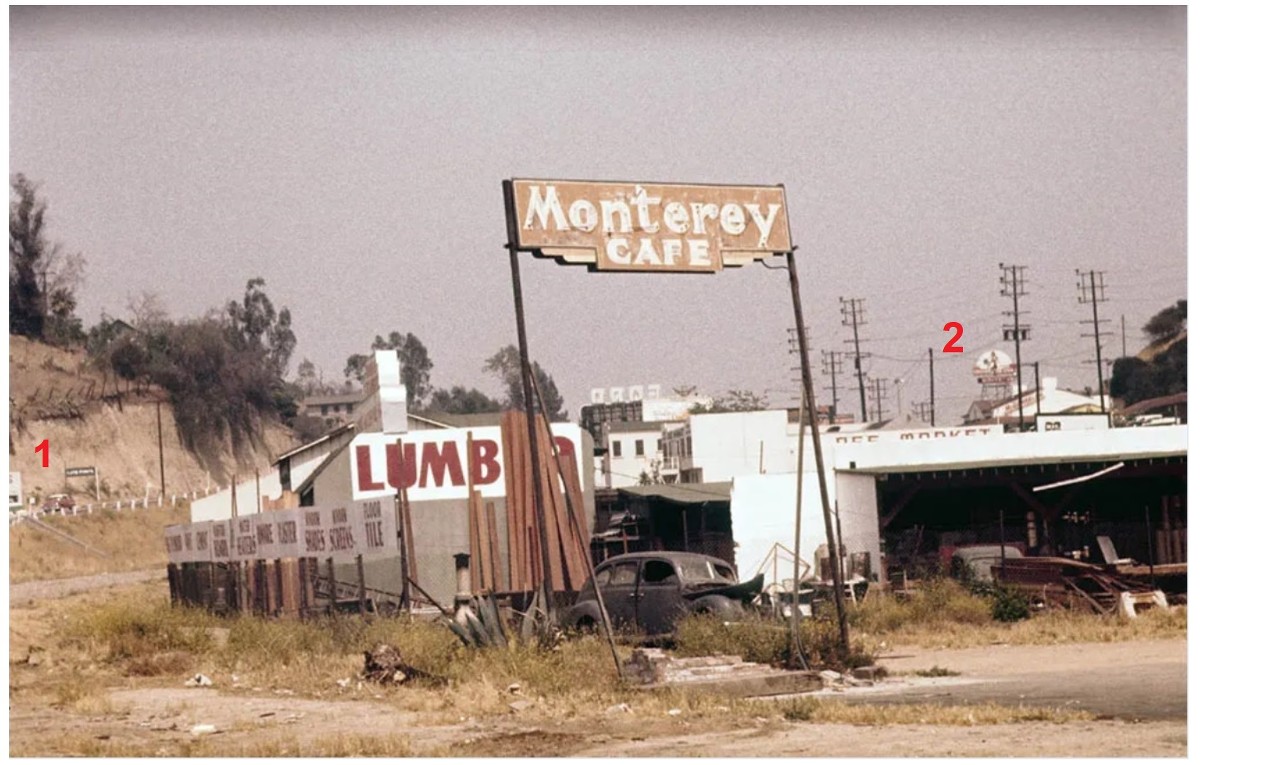 #1
#1
 detail
I initially thought the sign was over the road (like a gate) but now I see that it's actually next to the road. Any idea what the sign says?
I'm also intrigued by the steps on the slope. Why do you think this spot was chosen for the steps. Is it a bus stop?
(there's a sign or a very LARGE mailbox at the top of the steps.
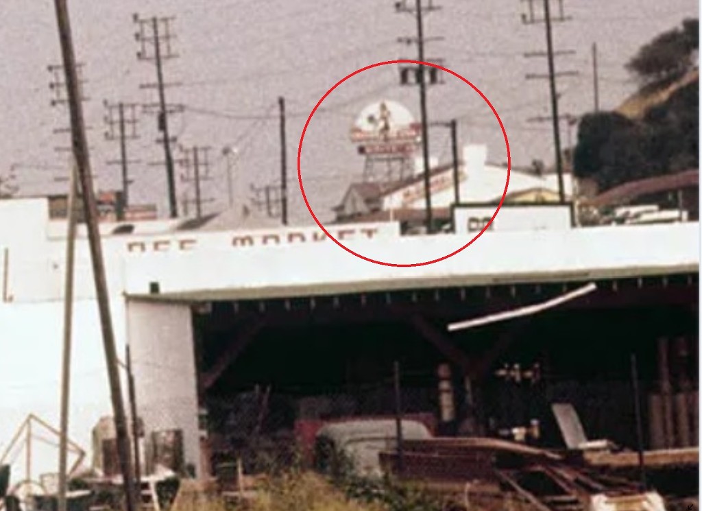
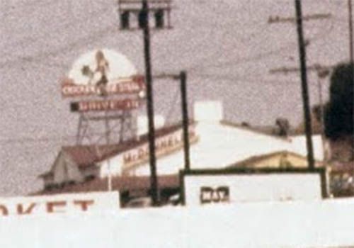
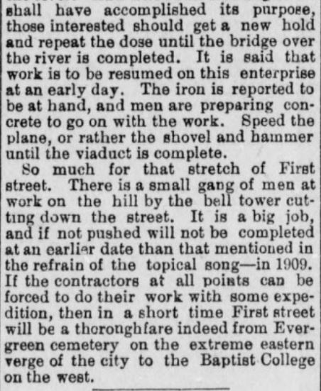
#2.....What, pray tell, is the tower with the [white] rounded top? To me it looks like a RADAR DOME.
If you look closely you can see the metal structure that holds it up. . but I can't decide if it's on top of the white building or behind it.
 detail
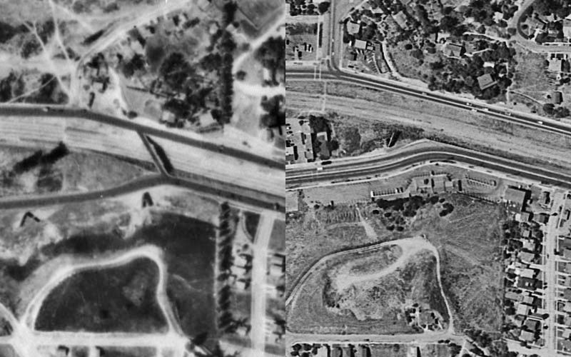
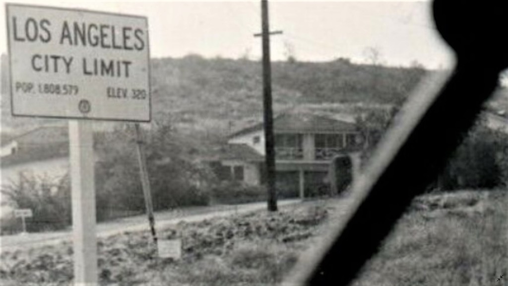
I don't see it on the map that
Hoss kindly labeled for us.
.


 Prev
Prev


 Linear Mode
