Quote:
Originally Posted by GILMORE

Can't find the post at the moment, but there was a question as to what the track was that was behind the stadium, and at the site of where Gilmore Field was... the structure was a dog track that was built in 1933(?) but never came to operation, due to trouble getting permits. In 1934, when the Farmer's Market was proposed, lumber was taken from the track to built the market stalls, then buildings.
|
Thanks for the poop on the dog track,
Gilmore!
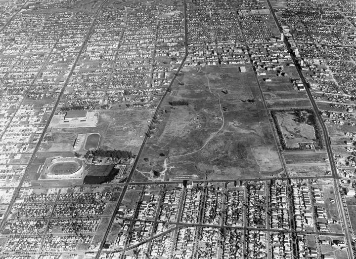
HossC posted this aerial showing the dog track almost centered between Beverly Blvd. on the north and 3rd Street on the south and just east of Gilmore Stadium, which runs
north-south along Fairfax:
Quote:
Originally Posted by HossC
|
I poked around and found these relevant
LA Times articles:
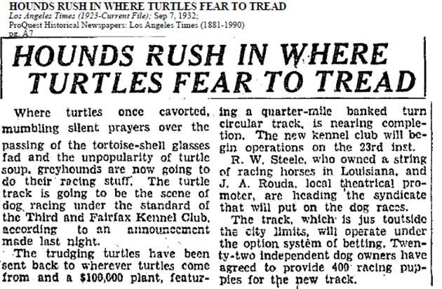
Sept 7, 1932; regarding the turtle reference, your guess is as good as mine:
June 9, 1933; I'm going on the assumption this is the same track referred to in the previous article:
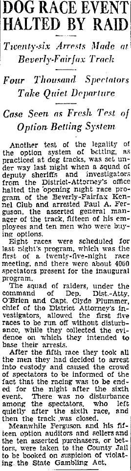
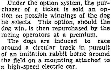
"Option betting" was explained in an article three days later:
Aug 11, 1933:

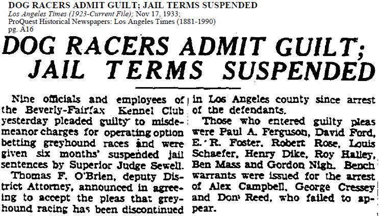
Nov 17, 1933:
There was also a dog racing track in Culver City, on Washington Blvd just east of Lincoln, that was later used for midget auto racing:
http://looking-for-mabel.webs.com/whippetrace.htm
http://culvercityhistoricalsociety.org/?p=977
http://autoracingmemories.com/forums/showthread.php?t=7
P.S. Thanks
GW for the LACC info.


 Prev
Prev


 )
)


 GSV
GSV

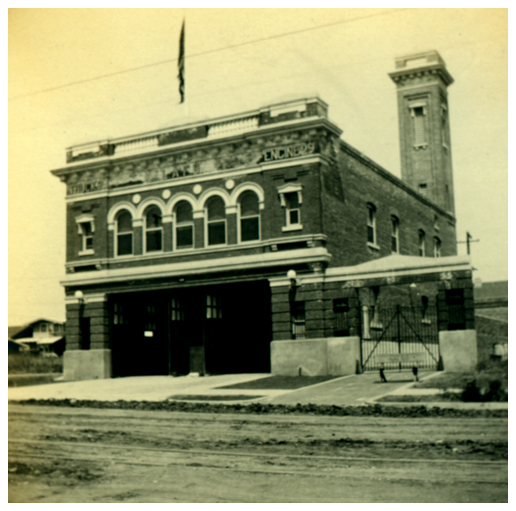 LAFIRE.COM
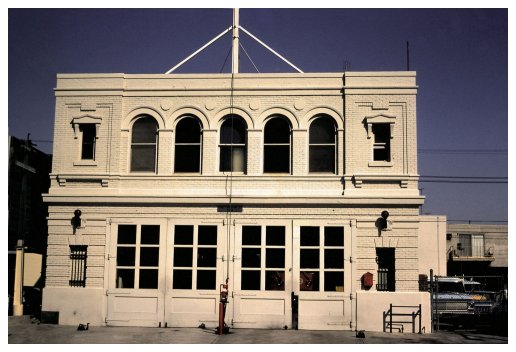 LAFIRE.COM
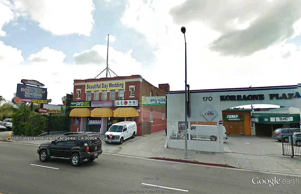 GE
GE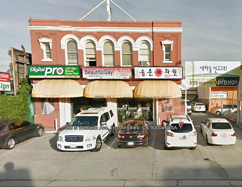 GE
GE


 Linear Mode
