Hey, I'm currently reading
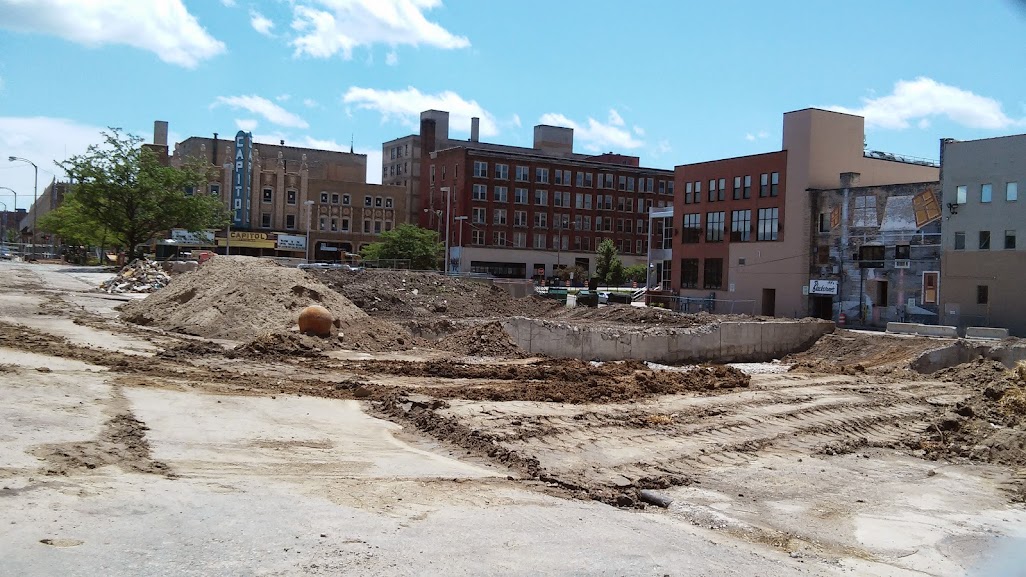
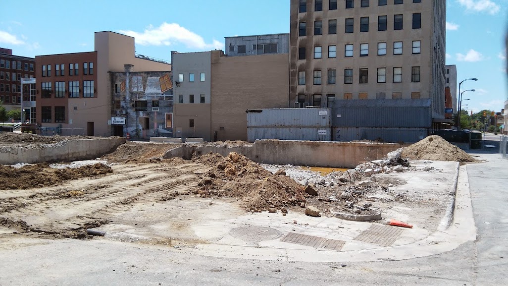
Teardown by Gordon Young, who does Flint Expatriates. I was just poking around the website's facebook page, and came across this photo showing all that was destroyed by the I-69/I-475 interchange:
 Flint Expatriates Facebook
I believe we're looking almost due east, here. Apparently, this was the old southside, which was a black enclave before it was destroyed. You don't really realize how many blocks were taken out until you see the juxtaposition. Looking at a map, it really makes you wish they'd have aligned 475 along Dort or something, at least from the interchange with Stewart.
Does anyone know what the main street(s) was/were through this area?


 Prev
Prev


 Linear Mode
