Seems to be a quite an urban trend - do we have a thread for this? Can we post news about other cities versions of NY's Highline Park here?

I know there are plans for Queensway, Jersey City and Chicago has Bloomingdale Trail -- there are many others planned or underway as well.
Here is Cleveland's planned version:
Red Line Greenway advocates plan 'unveiling' of visionary concept at Wednesday meeting (photos)

By Steven Litt, The Plain Dealer
Follow on Twitter
on May 26, 2015 at 7:00 AM, updated May 26, 2015 at 7:15 AM
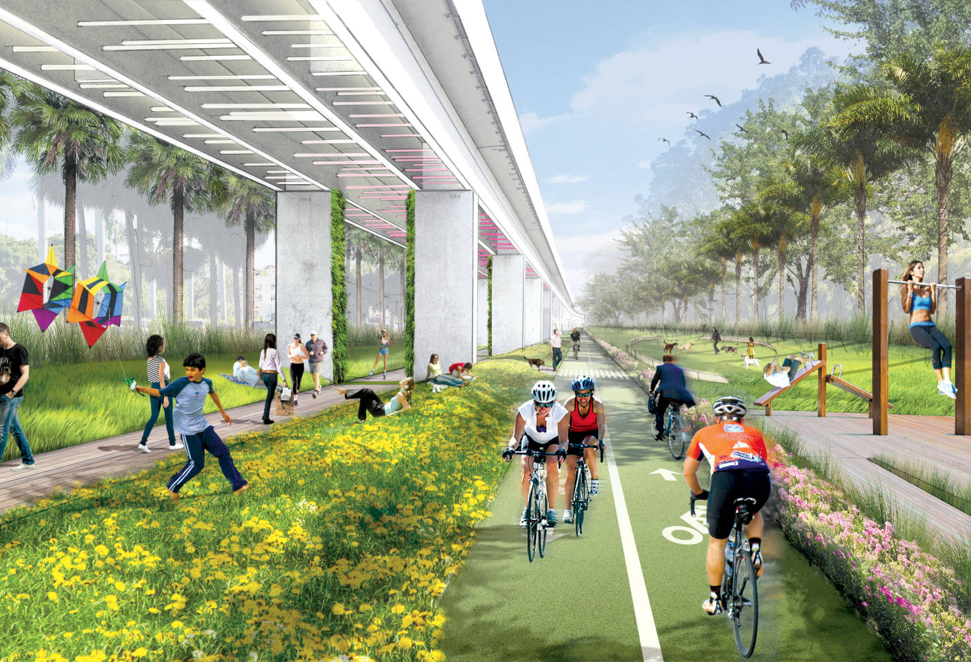
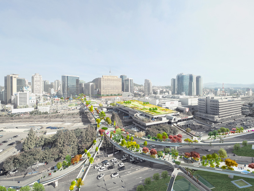
CLEVELAND, Ohio – Backers of the Red Line Greenway are planning a "community unveiling" on Wednesday of a concept for a three-mile linear park that could significantly brighten the future of the city's West Side.
A brainchild of the Rotary Club of Cleveland, the greenway aims to repurpose 2.5 miles of unused right-of-way alongside the Greater Cleveland Regional Transit Authority's Red Line for public enjoyment, recreation and commuting.
The path would run from the Zone Recreation Center at West 65th Street to downtown Cleveland at Superior Avenue and West Ninth Street.
Counting a half-mile of trail within Zone, the trail would be 3 miles in total length.
It would become part of an expanding network of regional trails and bike paths including the Towpath Trail along the Cuyahoga River, and the proposed East Side Greenway that would link 18 communities on the eastern side of Cuyahoga County to downtown Cleveland, Lake Erie and the Cuyahoga River.
The Rotary and partners will hold a free public meeting on the Red Line Greenway from 6:30 to 8 p.m. Wednesday at the St. Ignatius High School Breen Center for the Performing Arts, 2008 West 30th St., Cleveland, to provide an update and seek feedback. (The main presentation can be seen at the bottom of this post).
"It's our unveiling to the community," Matt Koriath, a Cleveland insurance executive and co-founder of the Red Line project, said Saturday.
"A lot of people having been coming down for tours and have heard of it, but this is our big unveiling to the communities and neighborhoods it will run through," he said. "It's to get the word out and get community support, and to help lead the charge so this can come to fruition and become a reality."
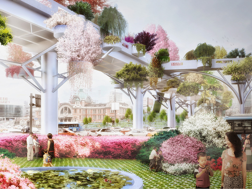
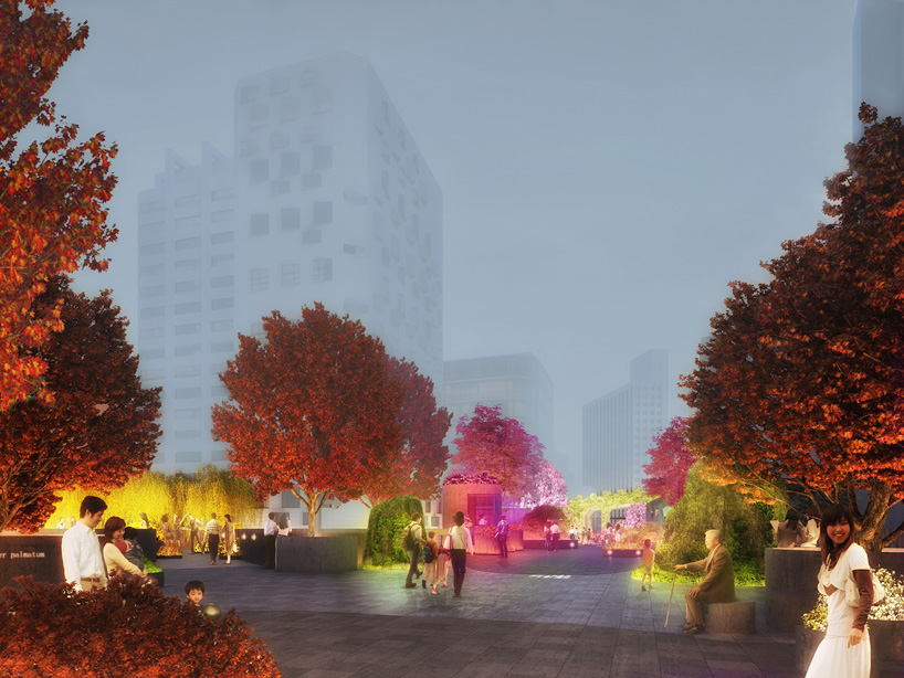
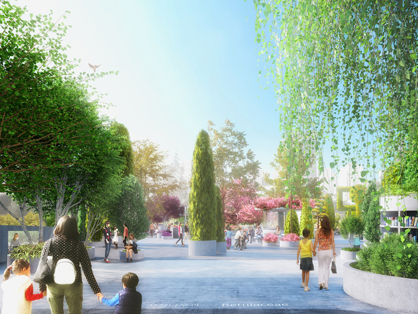
Cleveland's answer to the High Line
Koriath and other backers describe the project, which would include a path over the Cuyahoga River with spectacular views from the RTA viaduct, as Cleveland's answer to New York's widely acclaimed High Line Park, a landscaped greenway atop a disused rail line on the lower West Side of Manhattan.
"This is all about describing where it is, and what we're proposing for the trail and access sites, subject to engineering, safety, cost analysis," said Leonard Stover, a longtime Red Line volunteer and Koriath's fellow co-founder of the greenway.
Wednesday's meeting will be co-sponsored by the Rotary, the Cleveland chapter of the Urban Land Institute, the nonprofit LAND Studio, St. Ignatius, and by project partners RTA, Cleveland Metroparks and the Northeast Ohio Areawide Coordinating Agency.
Evan Peterson, a landscape architecture student at Louisiana State University, will also make a presentation about the project Wednesday.
As described by Stover, the Red Line Greenway is pivoting from dreams to reality.
Project history
It all started in the 1970s as a project called "Rapid Recovery," in which Rotary volunteers began weeding and removing trash from the highly visible right-of-way along the Red Line rapid tracks on the West Side, a then-unsightly entry point to downtown Cleveland for visitors arriving from Cleveland Hopkins International Airport.
red line greenway before:after.png
A before/after rendering of a portion of the Red Line Greenway.
Red Line Greenway
Rapid Recovery later morphed into the urban gardening and tree-planting effort that evolved into the nonprofit ParkWorks organization, now LAND Studio.
Rotary volunteers kept working along the Red Line, however, gradually improving a strip of land along the RTA tracks 2.5 miles long and as wide as 300 feet.
Stover estimated the value of the work done so far at $1 million.
The view up there is pretty cool
The objective now is to open the greenway to the public as a linear park with trails for recreation and commuting that would serve West Side neighborhoods including Detroit-Shoreway, Stockyards, Ohio City, Clark-Fulton and Duck Island, plus the Flats and downtown.
Partners and validation
In 2014, the Rotary signed memorandum of understanding with RTA and Metroparks agreeing to explore the Red Line concept together.
The project received a powerful form of validation in January when it was awarded $2,080,000 through NOACA from the federal Congestion Mitigation Air Quality program, jointly administered by the federal highway and transit administrations.
Stover said the project has been divided into three phases, with an estimated total cost of $13 million.
The $4.7 million Phase I would extend from the RTA viaduct west to West 41st Street. Phase II, at a cost of $1.3 million, would extend further west to Zone Recreation Center. And the $7 million Phase III, the most challenging and expensive, would extend the trail all the way across the RTA viaduct into downtown Cleveland.
Stover said the earliest the construction could begin on Phase I would be 2019, barring a major donation that could jump-start construction sooner.
RTA recently determined in a nearly completed analysis that Phase I of the greenway is physically feasible on its property.
Feasibility
Michael Schipper, deputy general manager of RTA for engineering and project management, said Friday that the analysis includes a site and property survey that would be shared with the Cleveland Metroparks, which will partner with the Rotary on the project's design.
"I'm on board with it actually happening," Schipper said of the greenway. "We believe we'll be able to figure out how to safely operate and maintain our trains while allowing the Phase I section to be built."
Schipper said the analysis contemplates providing public access in Phase I to an observation area on the RTA viaduct over the river.
"The view up there is pretty cool," he said. "It's neat."
The RTA analysis also includes a concept for a switchback trail that would descend a steep hillside from the west approach to the viaduct down to the Columbus Road Bridge at the edge of the river.
From there, the greenway could be connected to the proposed Lake Link Trail along the west bank of the river, a project now known as the Cleveland Foundation Centennial Trail.
A staircase could also be built from the centennial trail up the slope of Irishtown Bend to the northeast corner of the parking lot at the West Side Market, Schipper said.
Stover said concepts for other access points in the Phase I section of the project would be outlined Wednesday for public response.
The Rotary and its partners will use the public feedback gathered at the meeting to help refine the project's design. He said he also wants to raise funds to further publicize the project and to sell naming rights for construction.
"I'm really excited," Stover said about the progress made so far on the project. "It feels tremendous. It's our charge to see this thing through."
http://www.cleveland.com/architectur...l#incart_river


 Prev
Prev


 Linear Mode
