HomeDiagramsDatabaseMapsForum About
     

Go Back   SkyscraperPage Forum > Photography Forums > My City Photos


Reply

 
Thread Tools Display Modes
     
     
  #1  
Old Posted Jun 19, 2018, 6:39 PM
Laceoflight's Avatar
Laceoflight Laceoflight is offline
Montérégien
 
Join Date: Nov 2014
Location: Montréal, QC <> Paris, FR
Posts: 1,232
Travels through French Canada | Cities, villages, landscapes

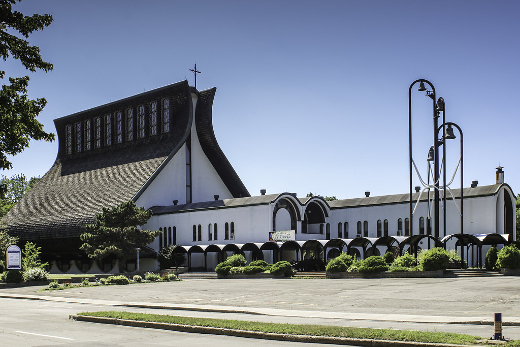
Work brings me all around the french canadian areas (Québec, northern & eastern Ontario, Acadie) on a quasi daily basis. Here are the pictures of some of my travels. Most of them have been taken for documentary purposes.


1. May 13, 2018
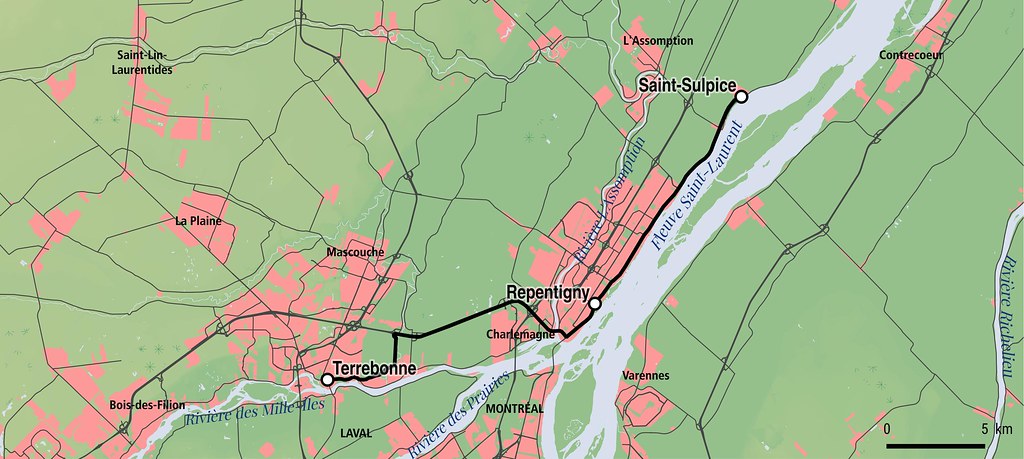
NORD DE LA MONTÉRÉGIE
(Bas-Richelieu & Basse-Yamaska)

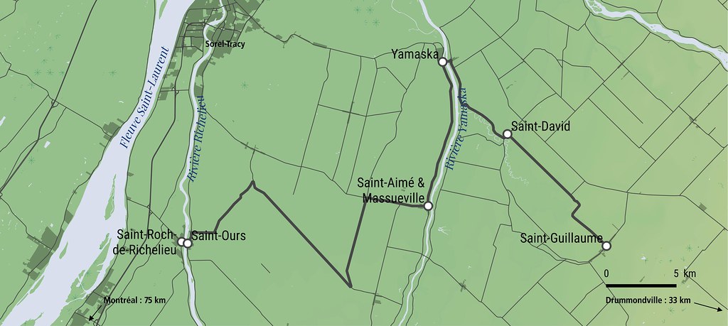
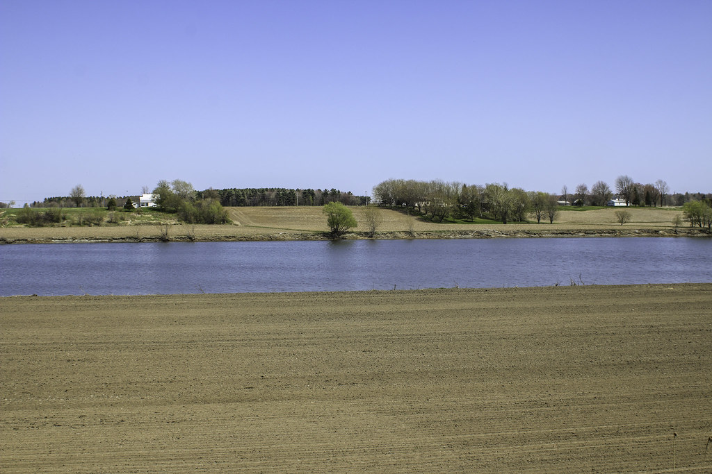
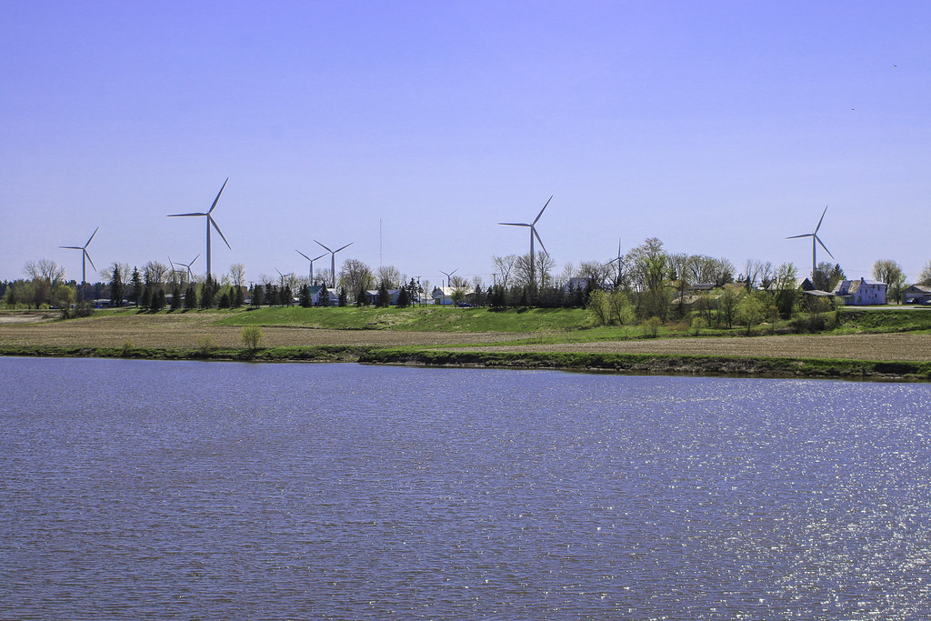
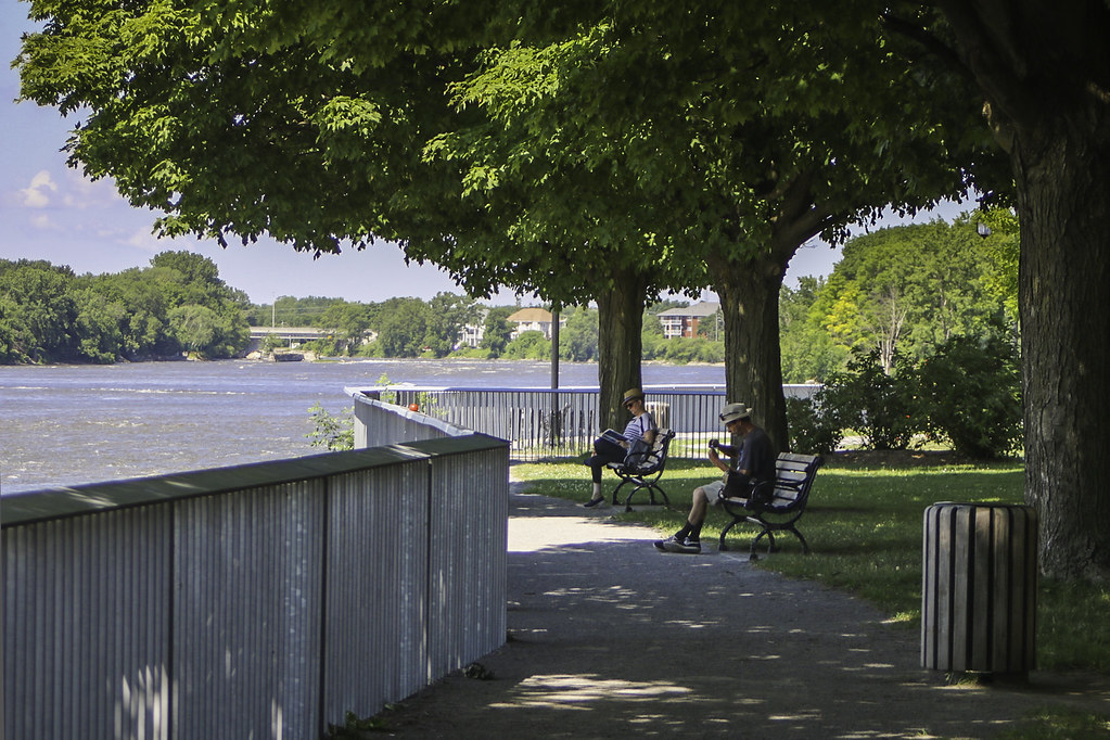
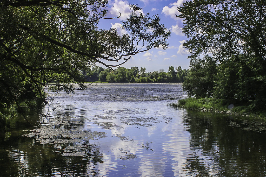
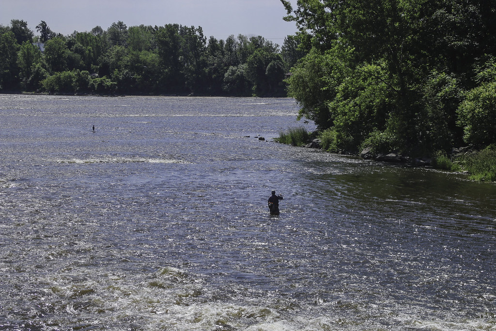
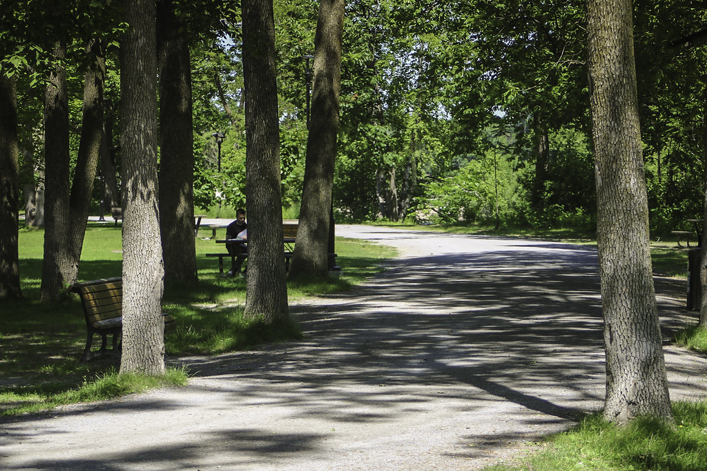
The first set brings us to the northern part of the Montérégie administrative region, in an area historically attached to lake Saint-Pierre. It's a very low area located 75 km north-east from Montréal, between the towns of Sorel-Tracy and Drummondville. The region lays on clay soils ; these alluvial plains are fertile, and water supply is generous due to the passage of 3 important rivers ending their course into the lake: the Richelieu, the Yamaska and the Saint-François. In the beginning of the 19th century, culture of hay made the surrounding villages prosperous, especially those located on the shores of the Richelieu and Saint-François rivers, with their busy rural ports. Today, the area's demography is stagnant, but the villages still bear considerable traces of their forgotten importance. A 65 kilometres journey through unseen lands from Saint-Roch-de-Richelieu to Saint-Guillaume, Québec.
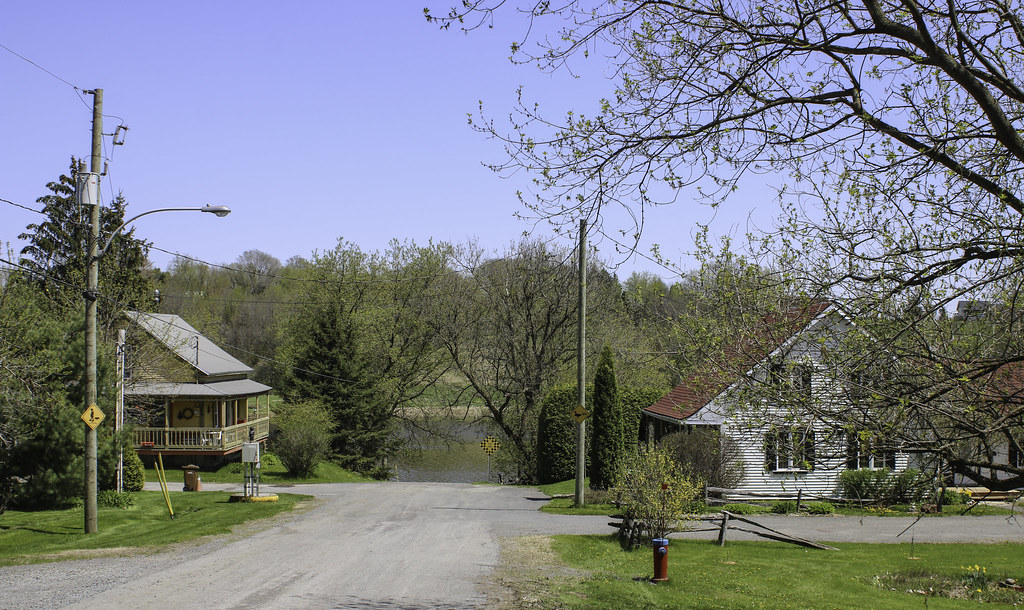


Population : 2238

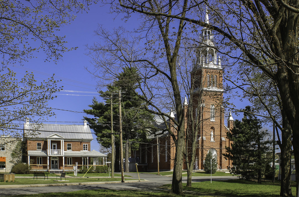
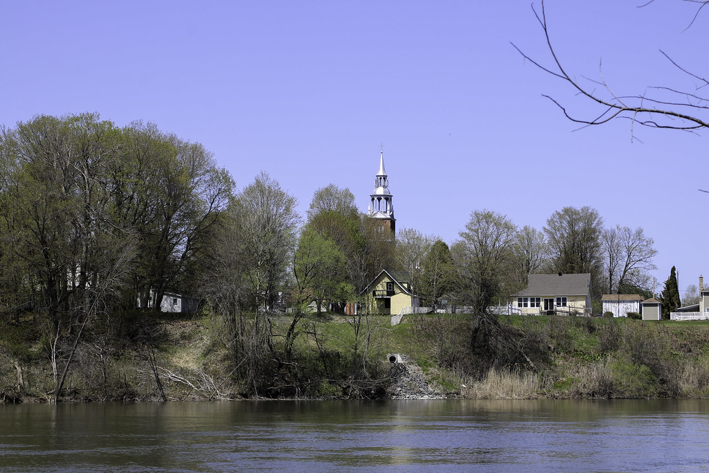
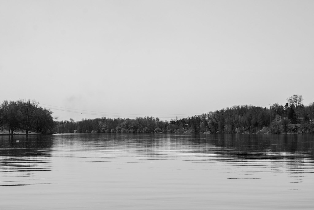
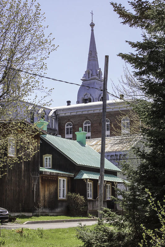
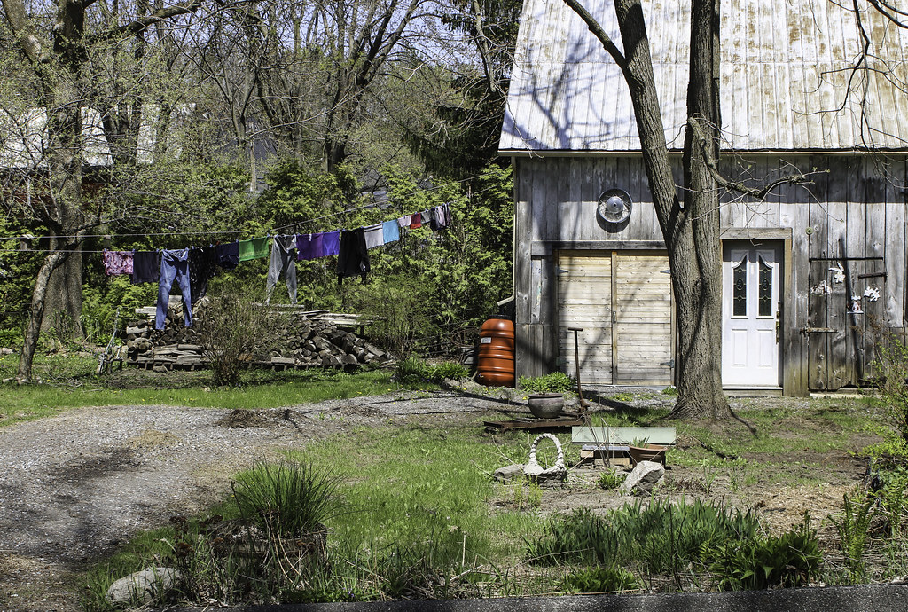
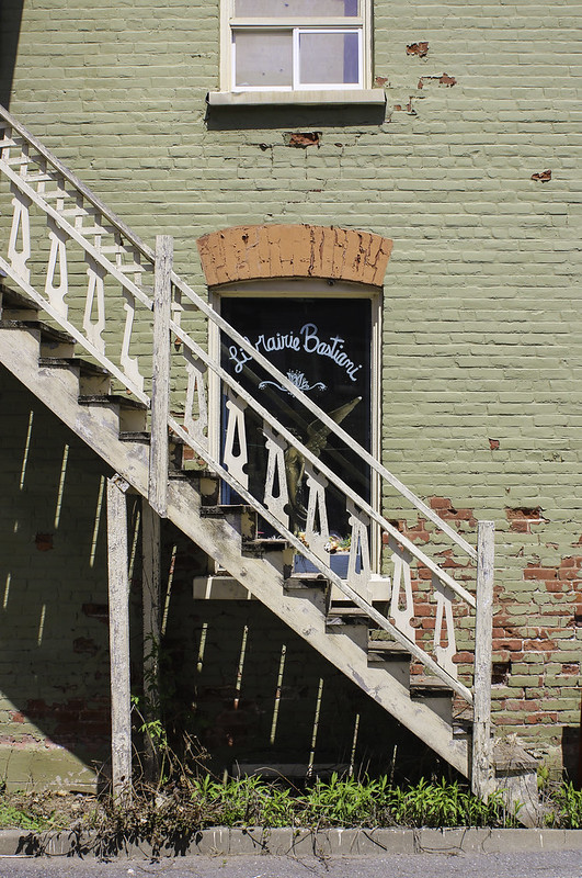
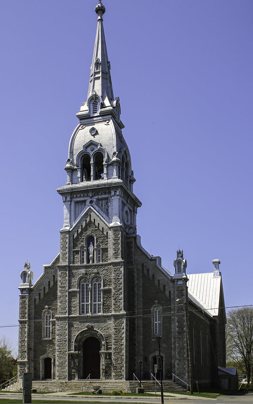
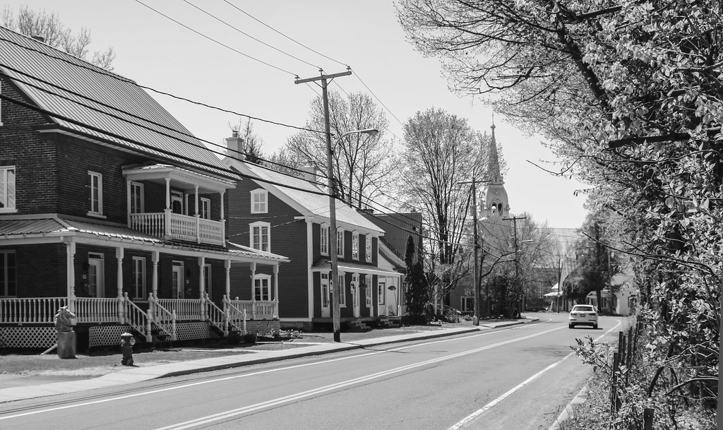
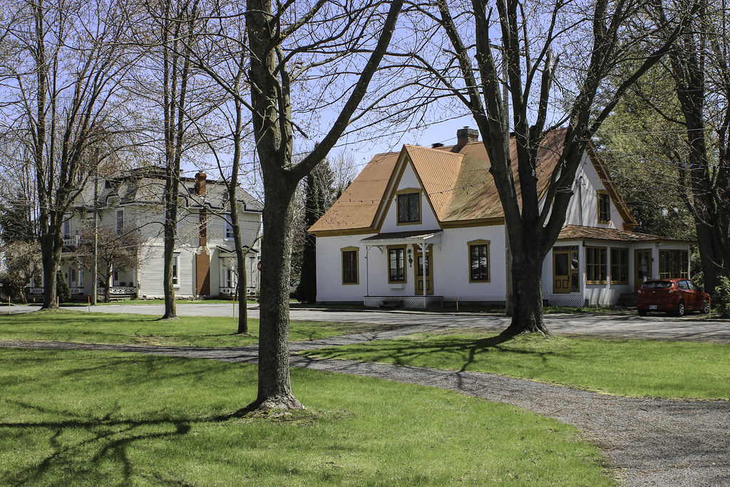
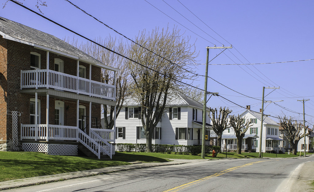
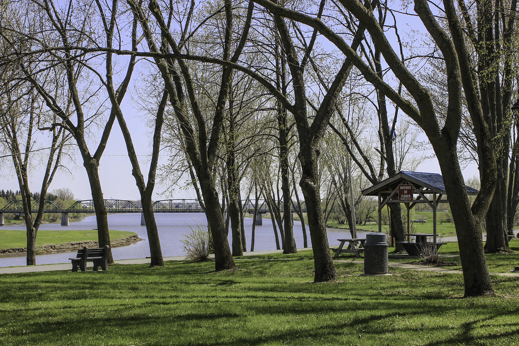
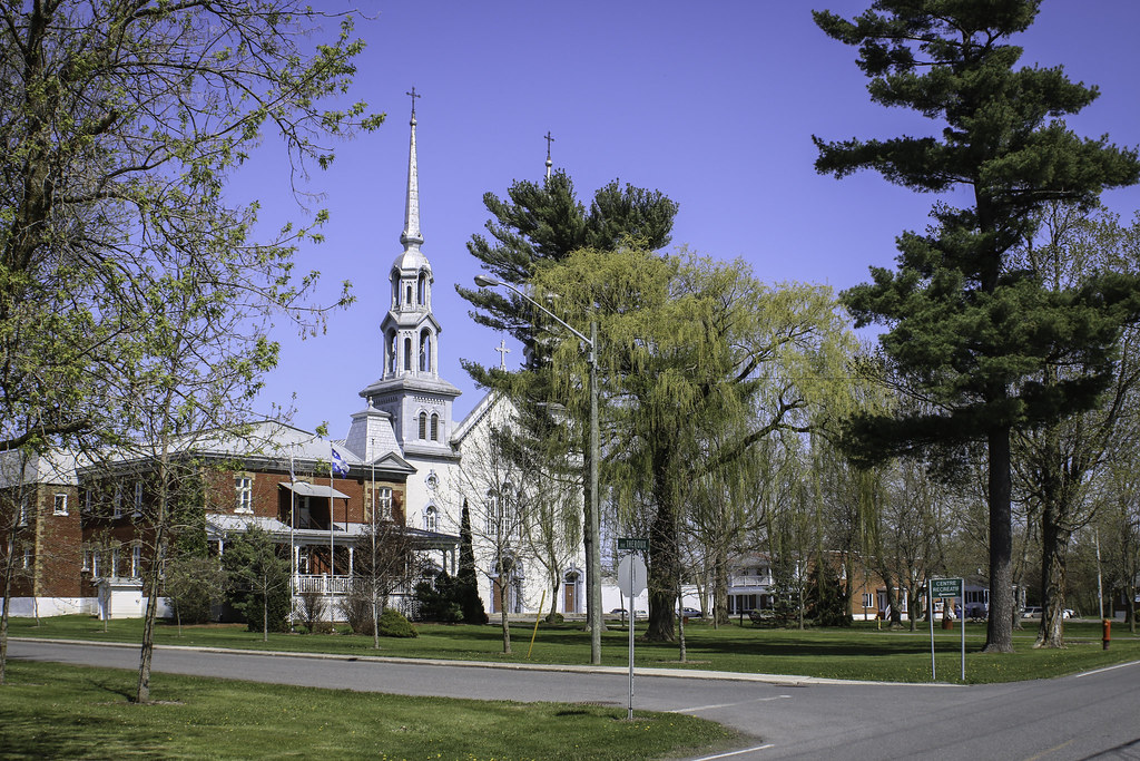
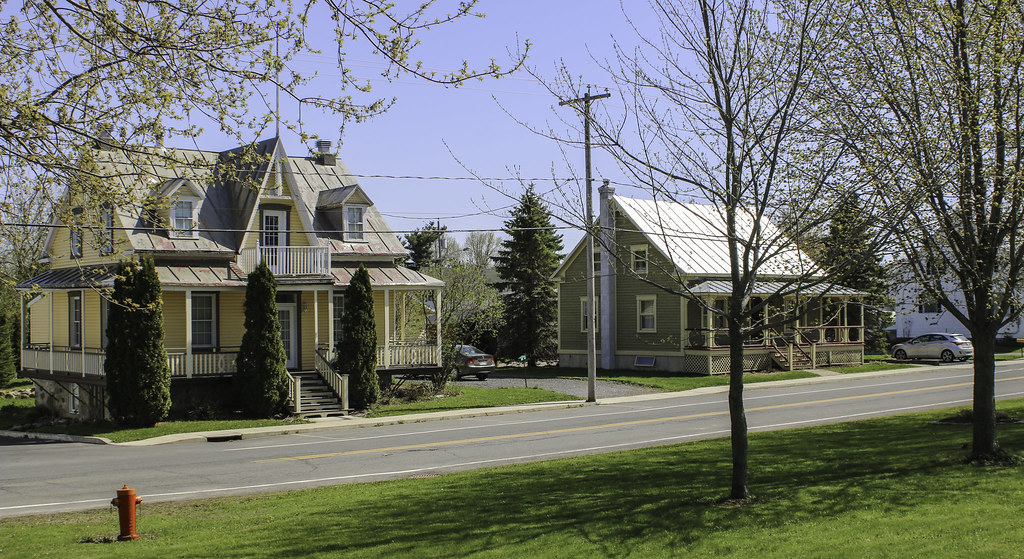
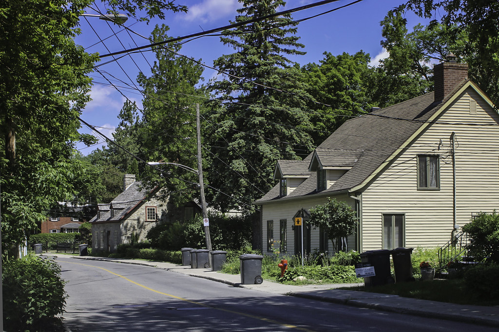
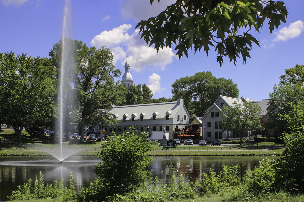
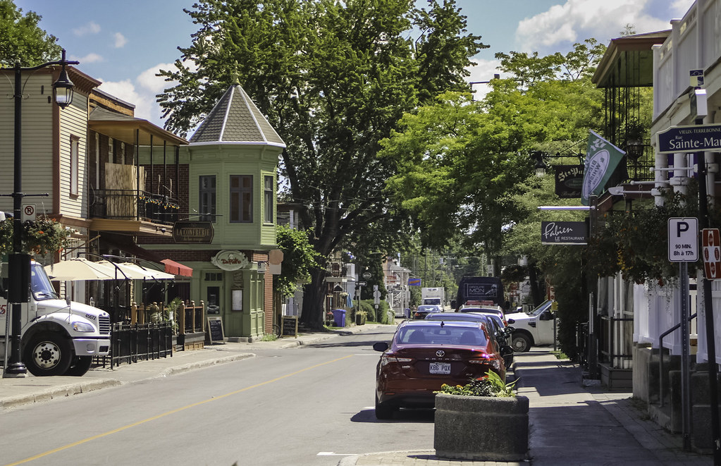
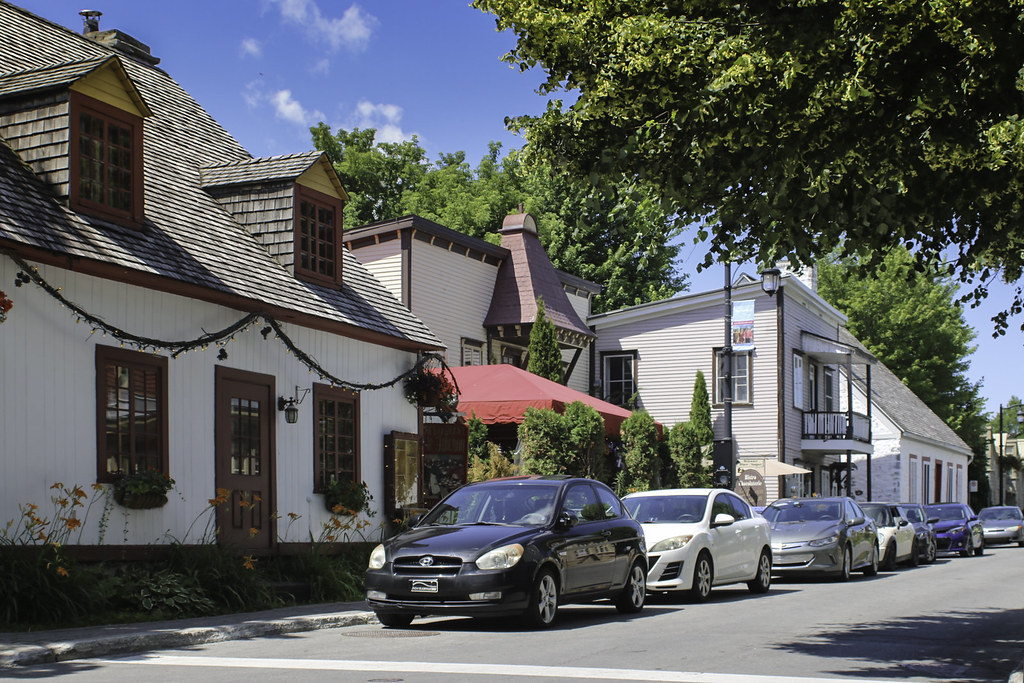
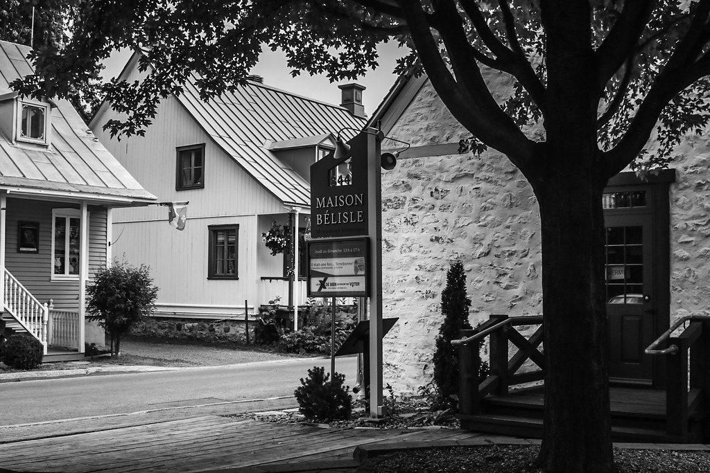
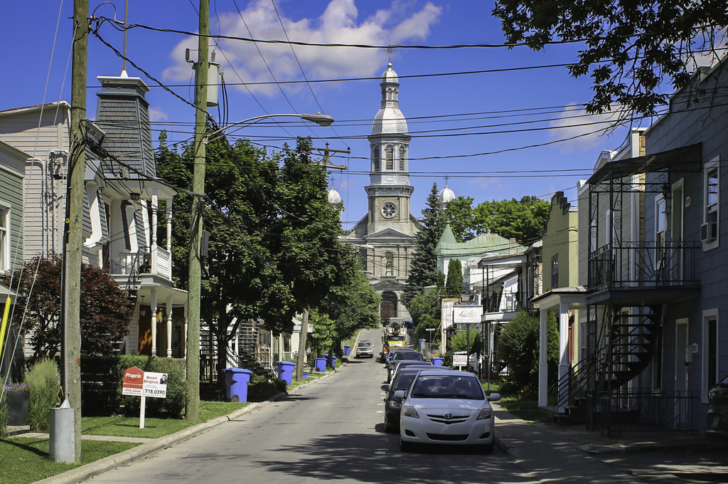
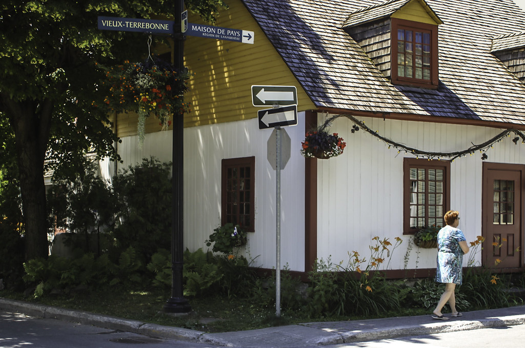
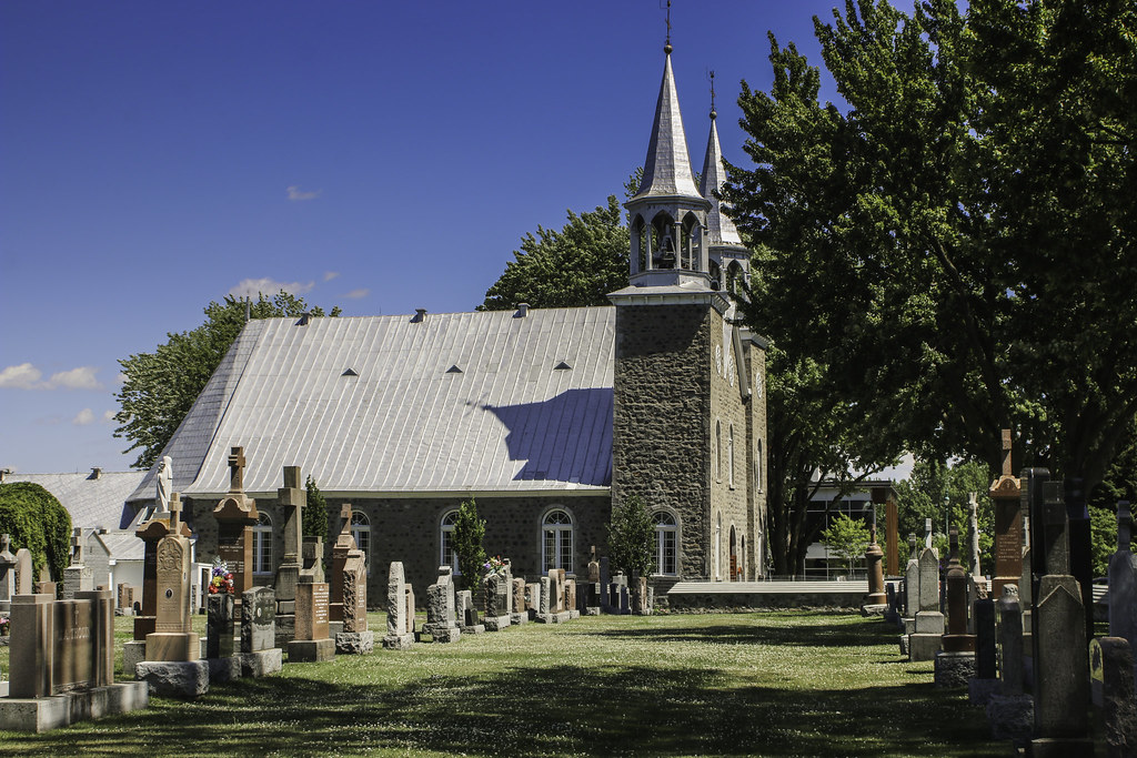
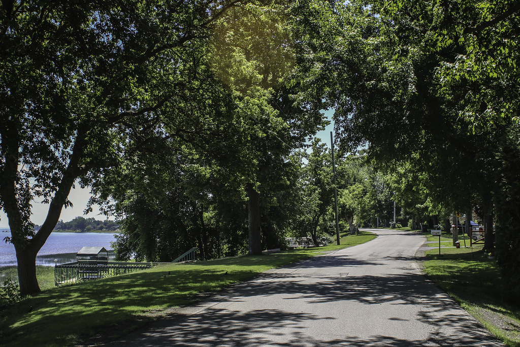
Saint-Roch-de-Richelieu is located on the left shore of the Richelieu, at about 75 km north east of Montréal. It was founded in 1859 by Roch de Saint-Ours (a local noble) when the territory of the neighbouring town of Saint-Ours, overpopulated, was divided into 2 parts, on each side of the river. Saint-Roch owes its prosperity to the ferry linking it to the town of Saint-Ours ; many hotels and restaurants employed the local population until the 1950s, when it mostly became a suburb of Sorel-Tracy.

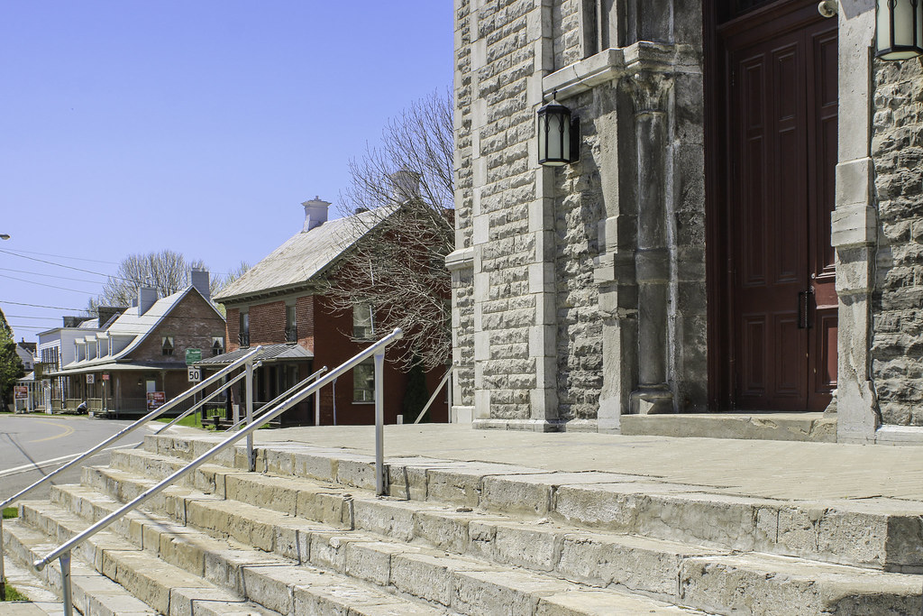
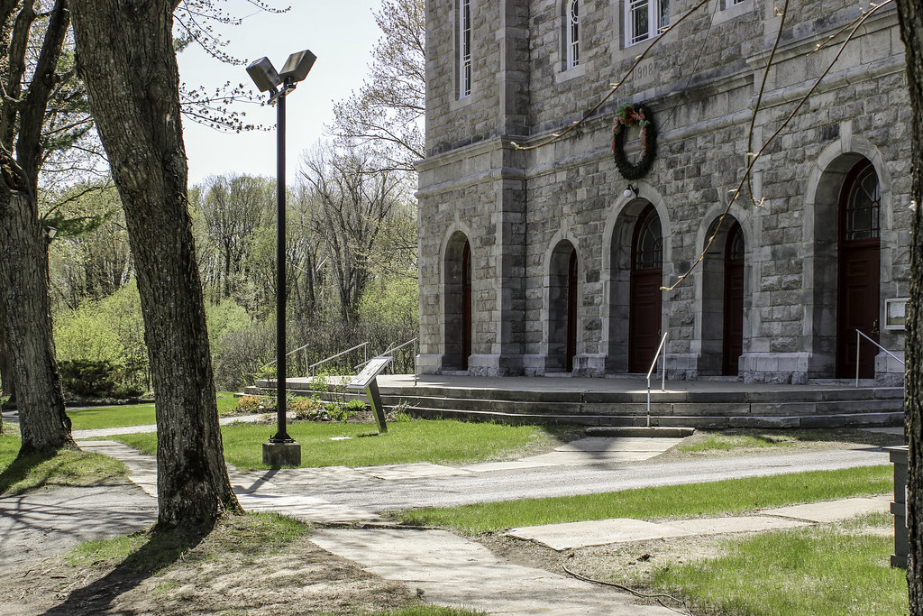
Saint-Roch church was built in 1861. Its main feature is its impressive porch bell tower. The approach by Saint-Jean-Baptiste street :


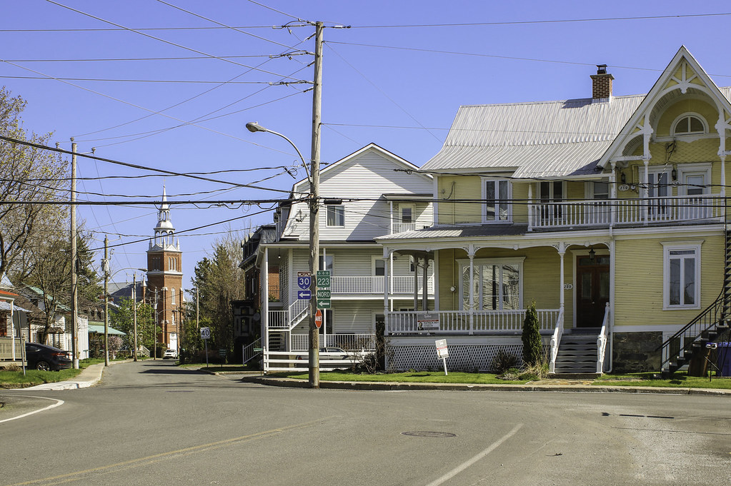
The Richelieu lowlands are located on the clay of the former Champlain seabed. Thus, the church and most of the important buildings in the village of Saint-Roch are built out of clay bricks.


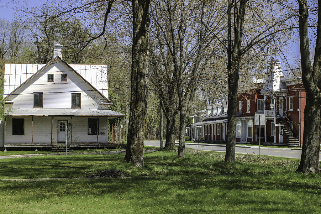
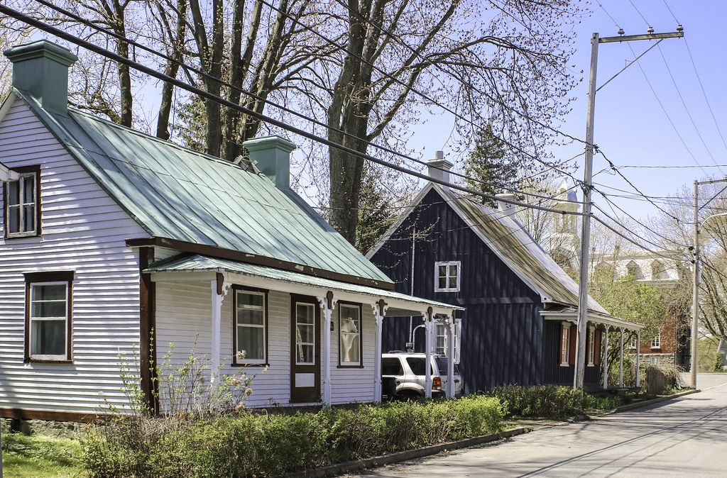
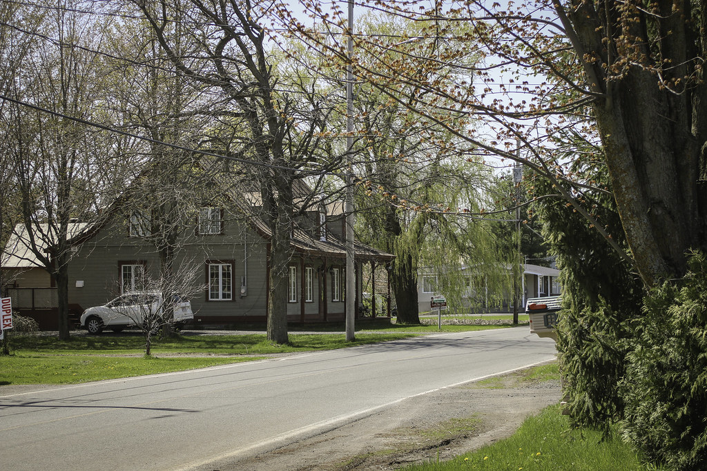
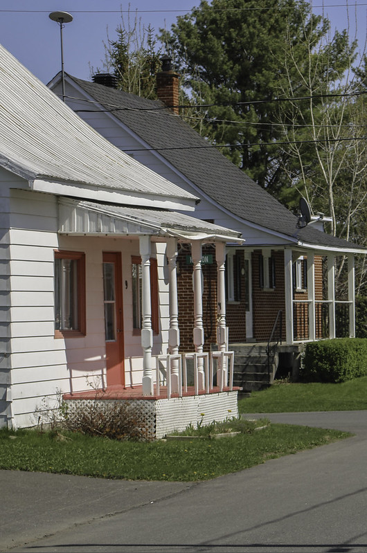
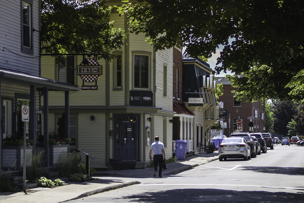
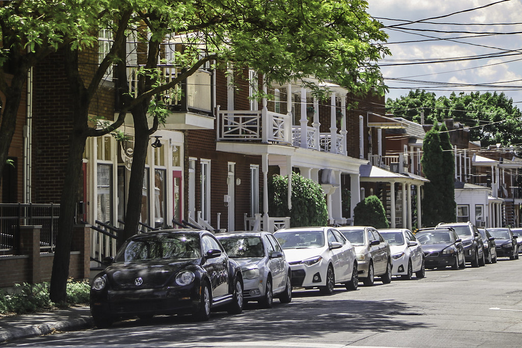
Typical proletarian architecture


As we leave Saint-Roch on the ferry, a last glance towards the brick steeple


Population : 1706

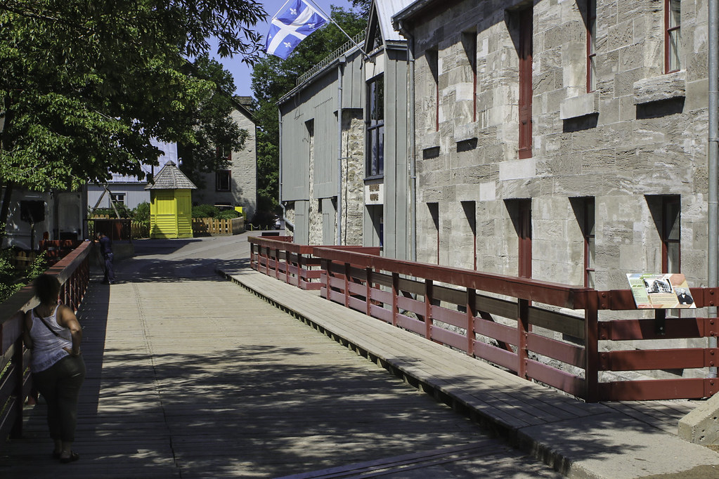
Just on the other side of the river is the small town of Saint-Ours. From Saint-Roch-de-Richelieu, we can access the town by a small ferry ; this installation is typical of the Richelieu valley. The villages along the river always come in pairs, and each pair has its ferry. With the ferries comes a very typical job in the region : «passeur» (could be translated into ferryman I guess).

The Saint-Roch/Saint-Ours ferry is operated from April to Decembre since 1818. It has been owned by the Larivière family since a century. It has a capacity of 30 people/cyclists and maximum 6 cars, and from experience, it is highly efficient !


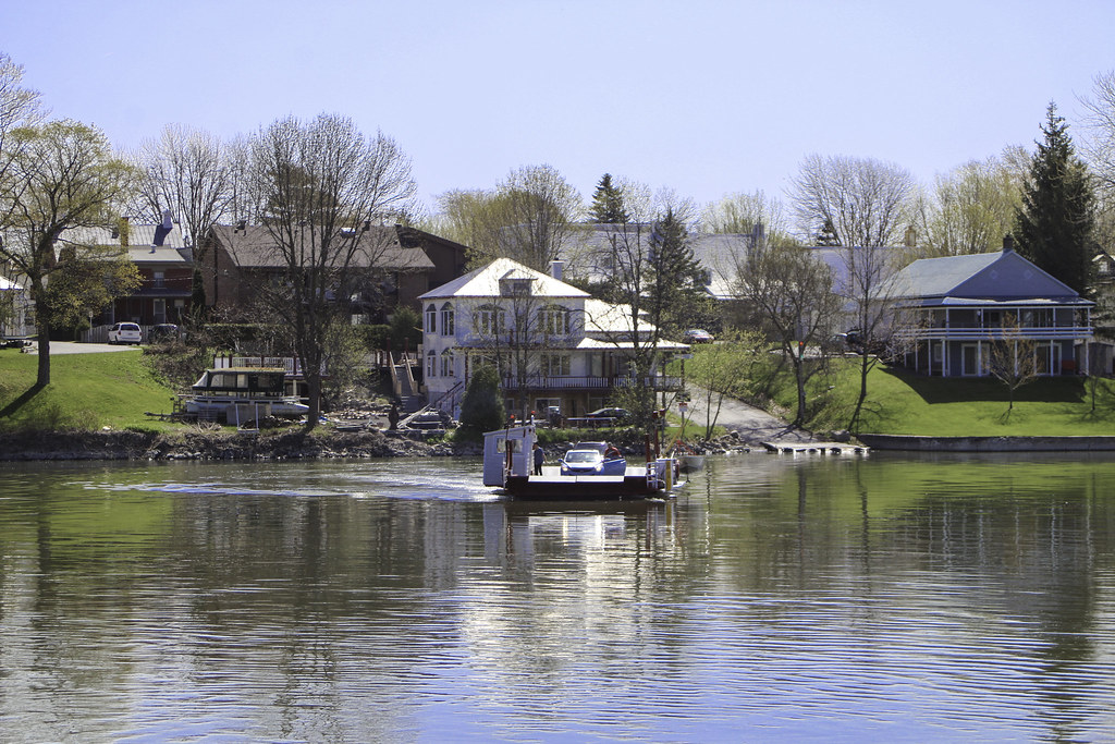
Saint-Ours, seen from the ferry :


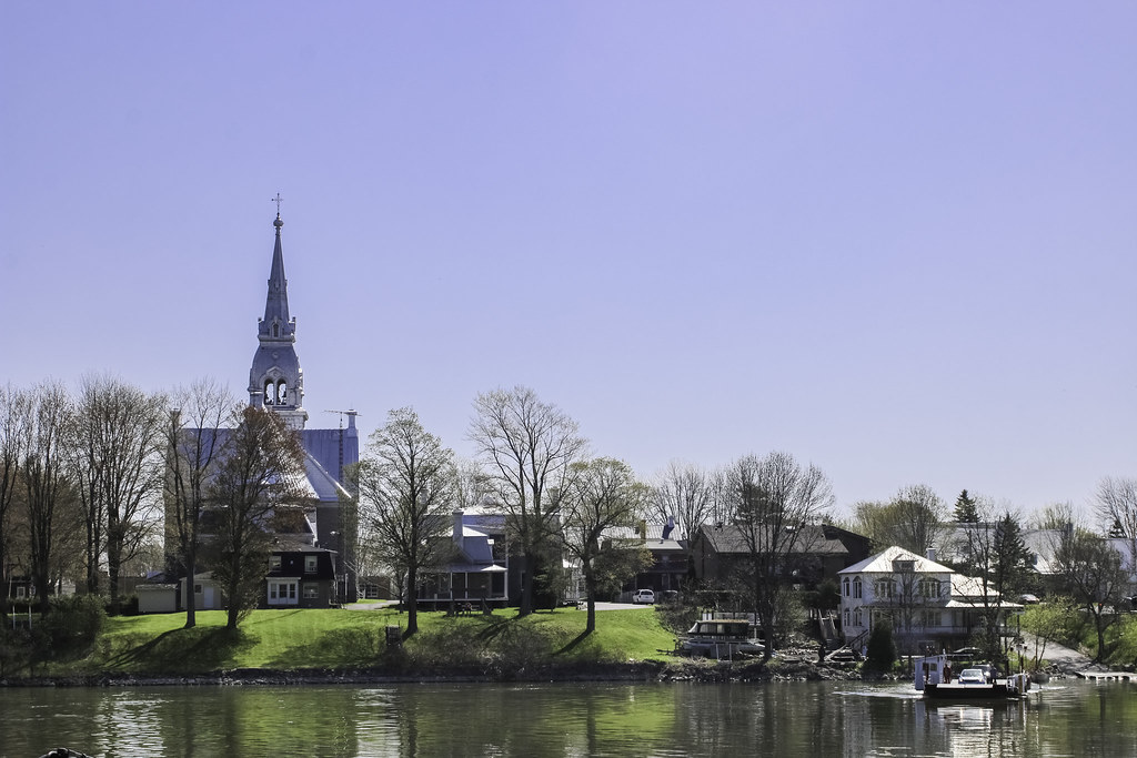
Founded in 1650, the town of Saint-Ours certainly deserves to be recognized amongst the oldest settlements of Canada. It knew economic prosperity quite soon, and the Edict of the King of 1722 turned the village into a bourg with a charter.

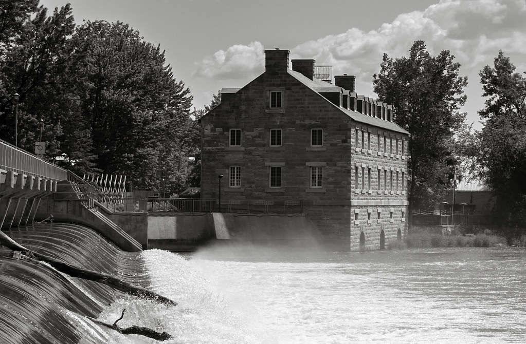
The name evokes Pierre de Saint-Ours (yes, it was Roch's brother), a famous captain in the Carignan-Salières regiment, who was granted the Saint-Ours seigneury. He soon became commander of Fort Chambly, and then captain of the canadian troops from 1687 to 1708. The town took his name. In 1703, a first mill was set on the shores of the river. The Fils de la Liberté (canadian patriots of 1837-1838) had their first meeting in the town, where the Declaration de Saint-Ours was adopted (12 resolutions concerning constitutional rights of the Canadien people, rights of land ownership, trade, secession, etc.) This document profoundly displeased the British colonial authorities and lead to the Patriotes rebellion (an attempt of secession of the Canadiens from the british colonies).


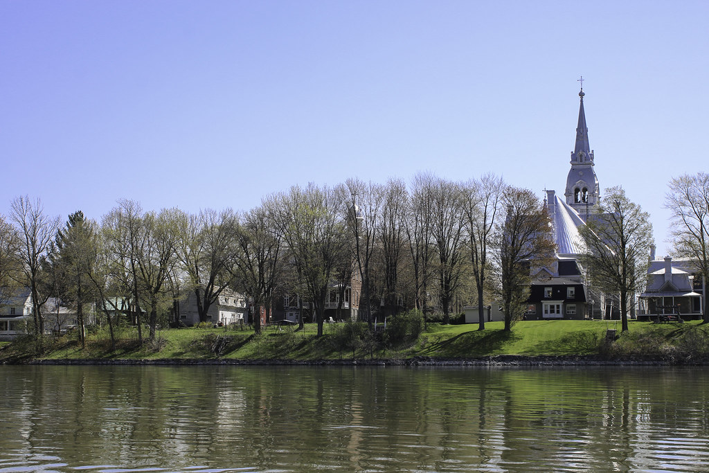
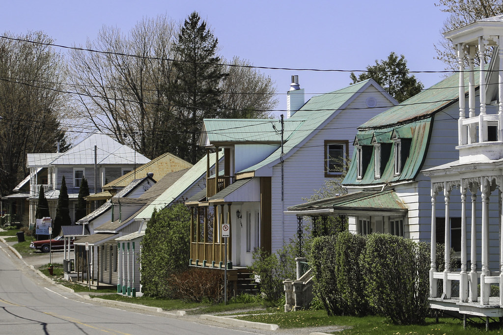
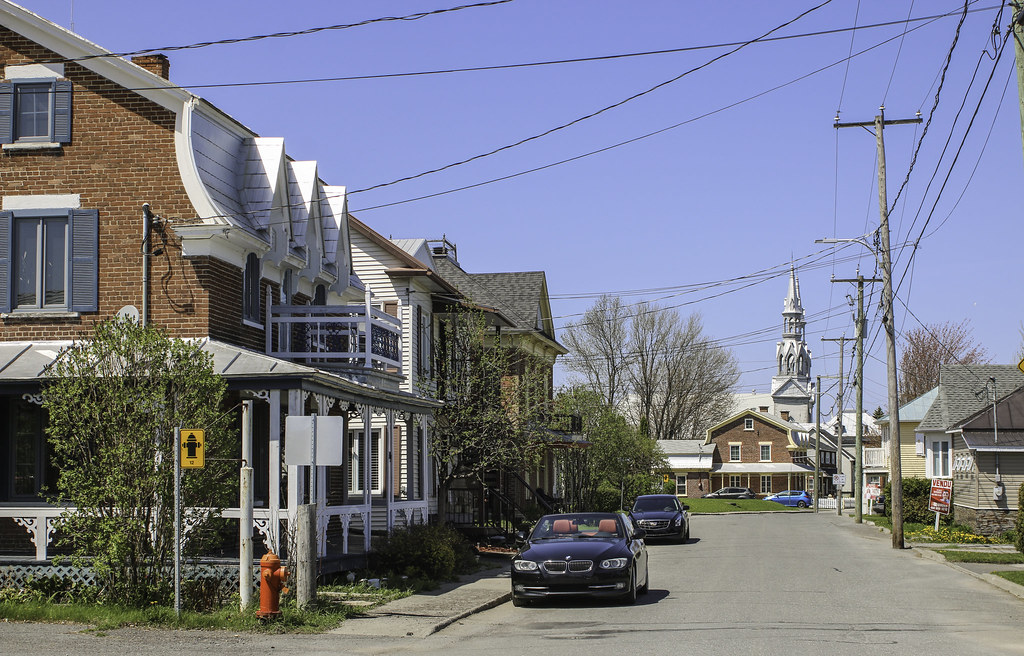
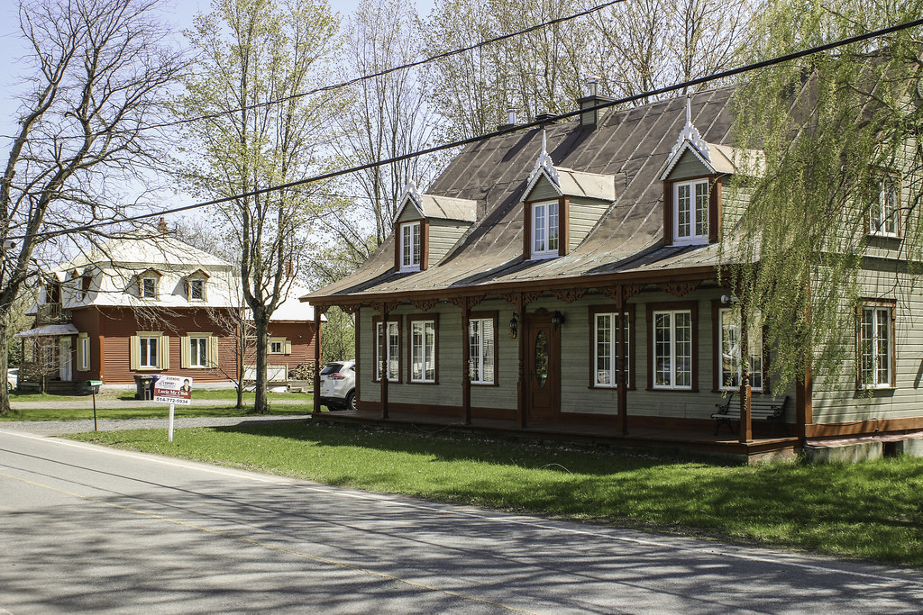
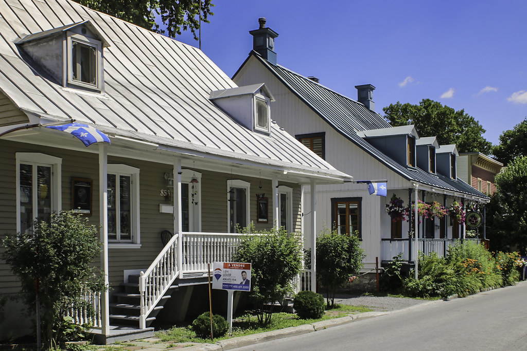
Between the church and the river, the narrow streets of the village plunge into the waters, offering quaint spaces for living. The steeples of the village are always in sight.


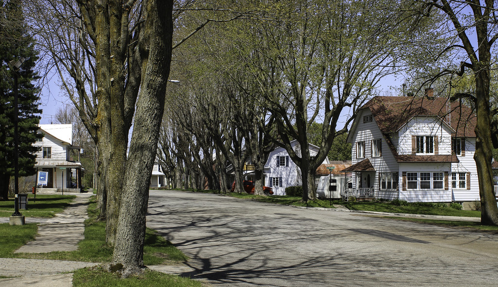
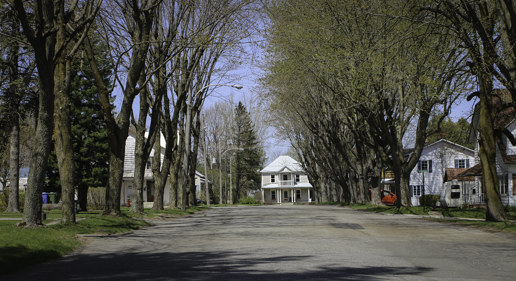
A series of streets form a tight grid, east of the church. Typical québécois village scenery...


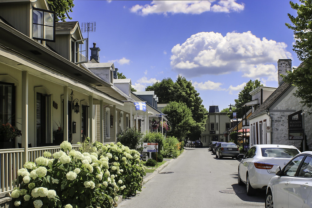
The main, Immaculée-Conception, was named after the catholic parish and the church. It follows the meanders of the river.


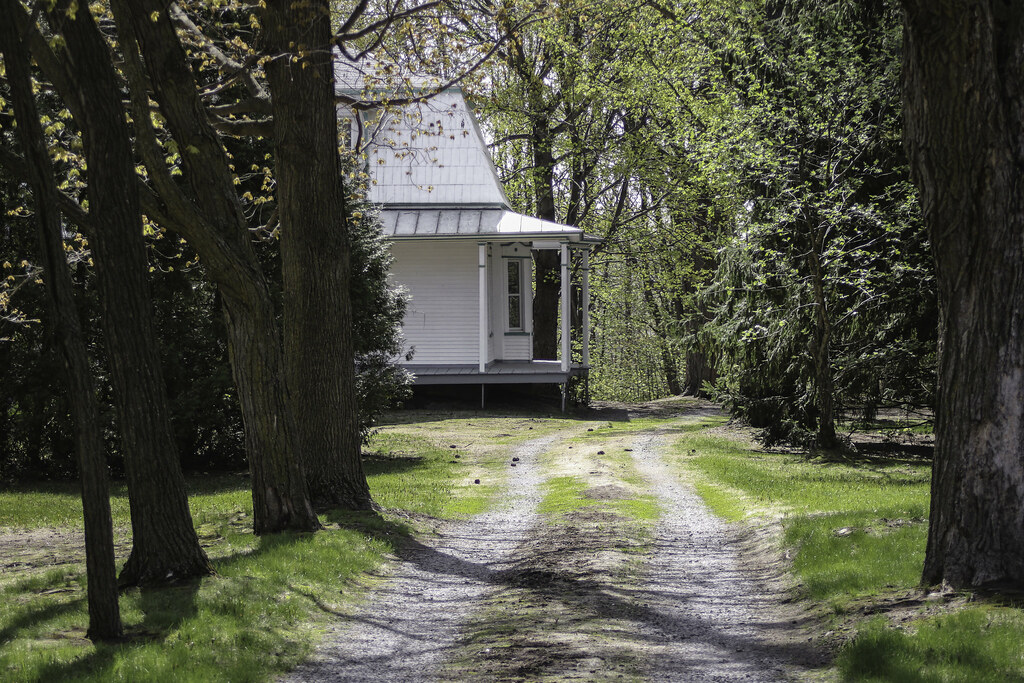
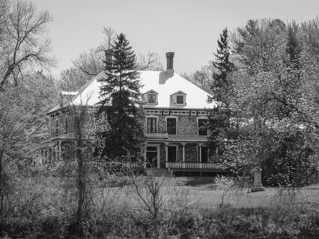
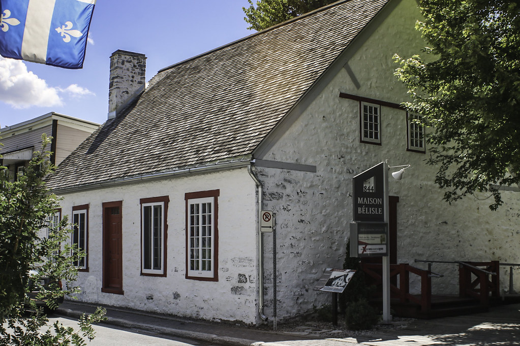
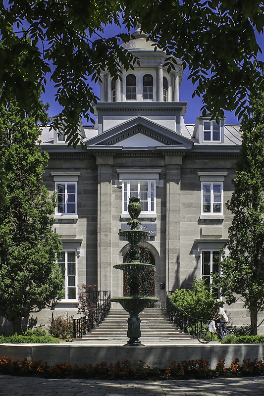
Saint-Ours Family's seigneurial residence is hidden under a dense canopy on Patriotes road. I am sorry for the poor quality of the pic, but the actual owner wouldn't want to let me photograph the house. I kind of stole the shot.


In front of the manoir, Immaculée-Conception street leads to the centre of Saint-Ours


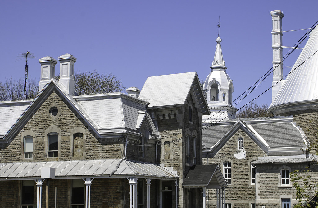
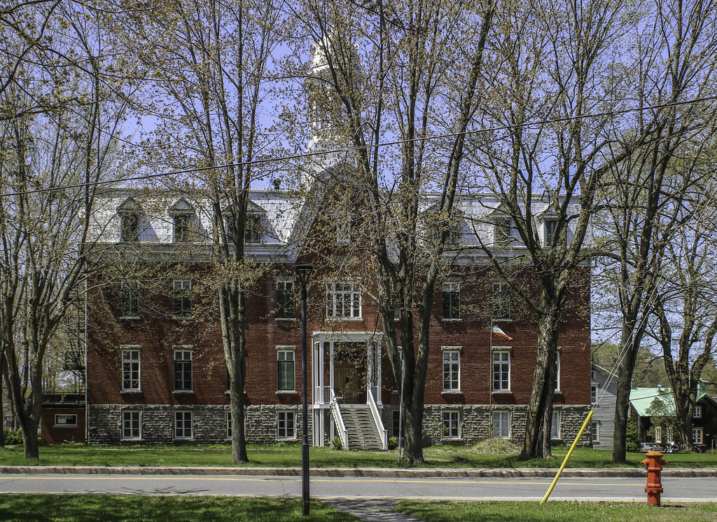
The convent is located right beside the church. The Patriotes' green-white-red flag still floats in front of civic buildings in the Richelieu valley.


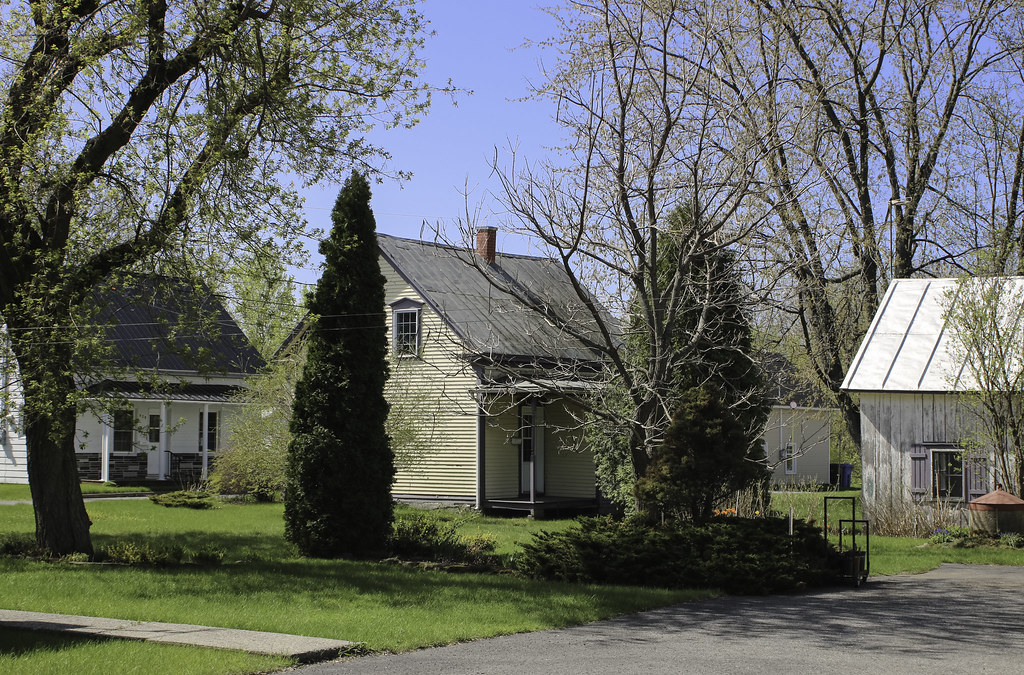
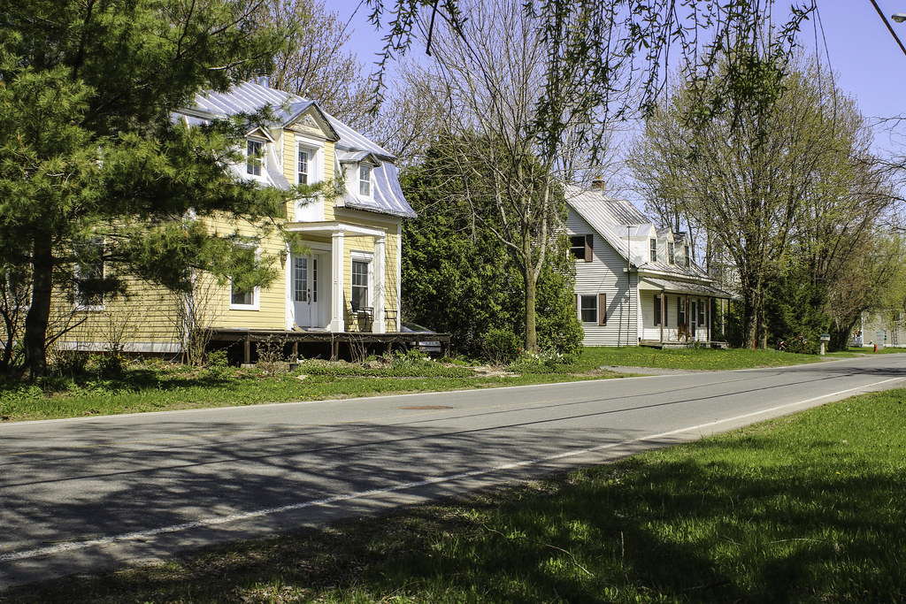
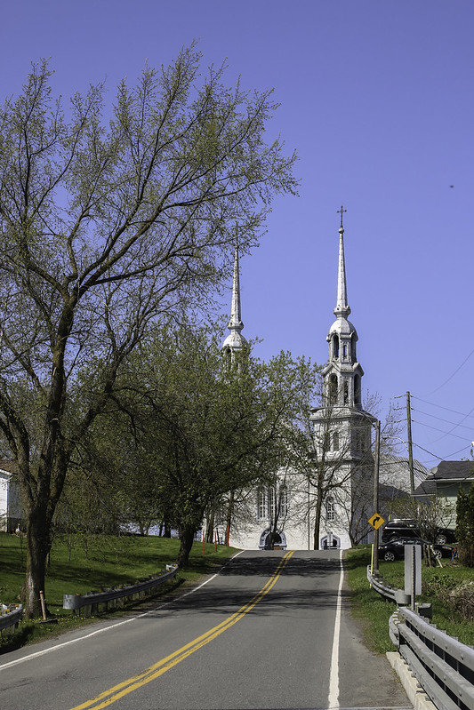
As it is the case in most of Québec's villages, the church totally dominates a landscape of modest village homes


&
Population : 495 in the rural parish of Saint-Aimé, 503 in the village of Massueville

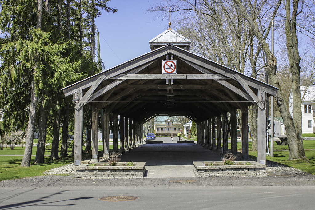
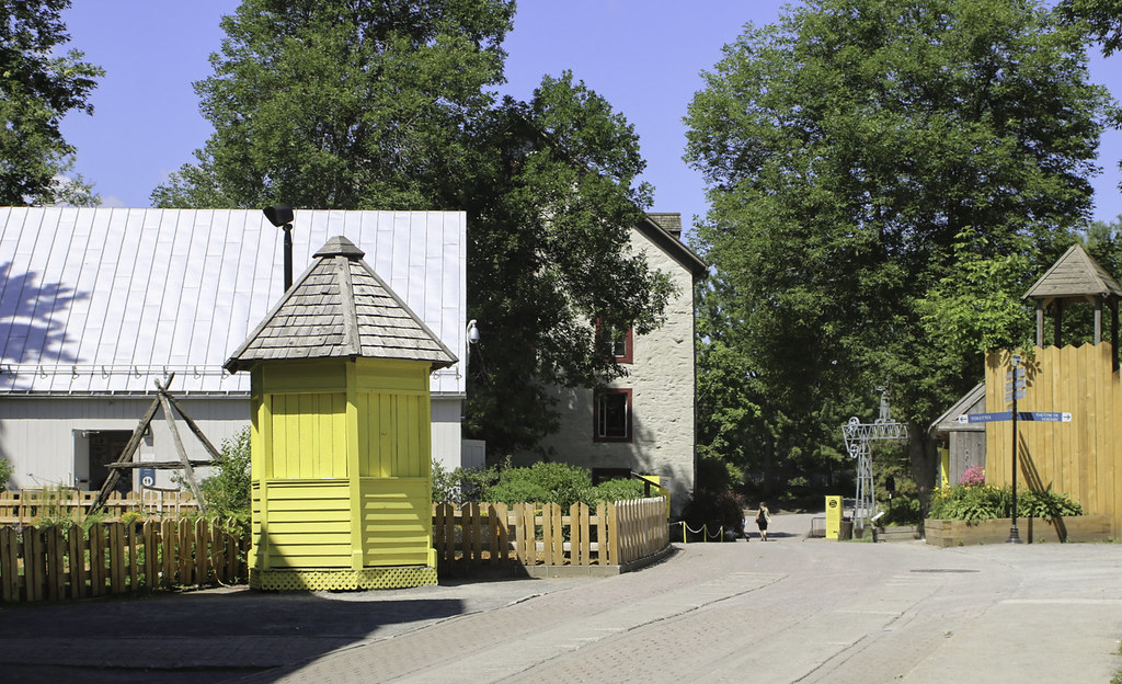
Next village is Massueville, but the old locals still call it Saint-Aimé, the actual name of the parish and former name of the rural agglomeration. It is a surprisingly pleasant village clustered around rectangular common grounds, along the banks of Yamaska river. In the middle of the commons is a covered market hall, where the farmers of the area come every week to sell their products.

In this rather rural and agricultural area, it is surprising to find a village with the bones of a small industrial town. That's what Massueville is. Though the seigneury of Bonsecours was settled in 1702, the village was only founded in 1834. It took the names of the founder and donator of land for a church, Mr Gaspard-Aimé Massue. A convent and a college were also built. In 1834 also, the grid plan of a town was traced, and the common lands were reserved in front of the church by a local citizen. With the affluence of new citizens, industry thrived : navigation and transportation on the river, wood transformation, oat production and transformation, coachwork, horse breeding and, of course, agriculture in general. At its peak, the village had some bakeries, forges and general stores.

Today, Massueville is in decline, though being only an hour away from Montréal. It lost half of its population in a 50 years span. There is no highway leading to the nearby towns, so the village is isolated. The railroads were dismantled. Regulations for the protection of agricultural lands restrain the growth of the village, and the intensification of agriculture and merger of the familial farm holdings into mega farms means even less people on the country roads. Young adults are obliged to move to the cities of Sorel-Tracy, Drummondville, Saint-Hyacinthe or Montréal to pursue college education, and very few come back to their native village.


The common grounds as seen from the church doorsteps :


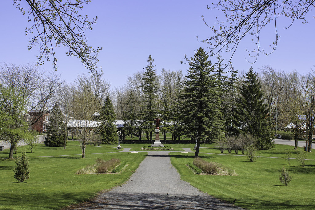
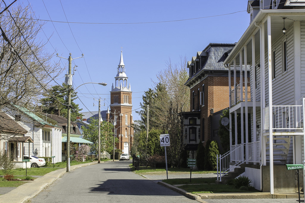
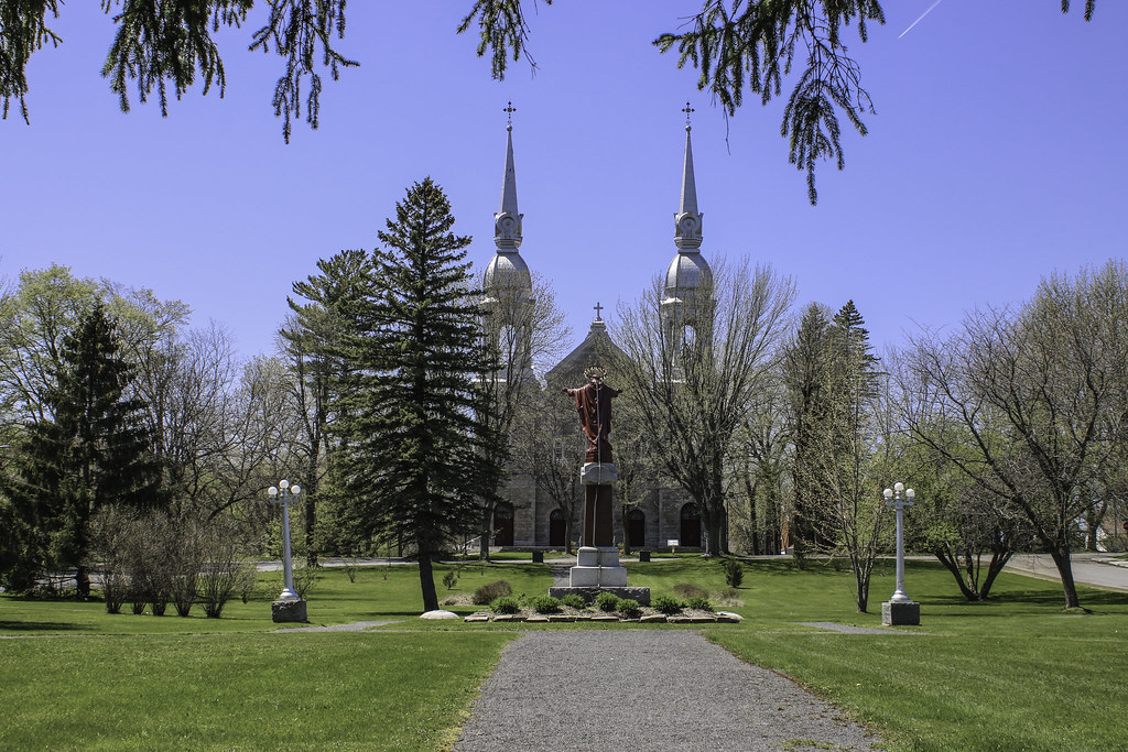
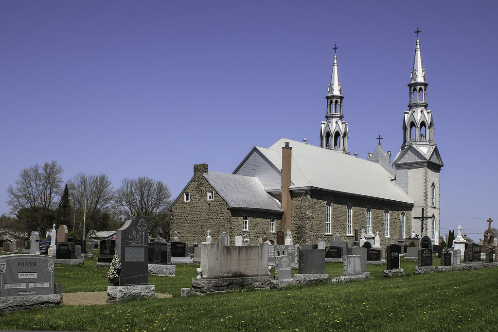
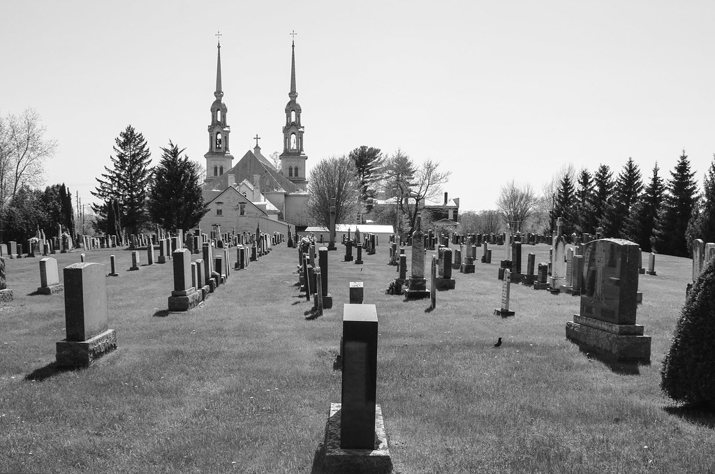
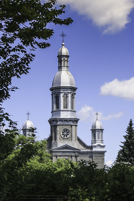
Saint-Aimé church was built in 1841. After a major fire in 1907, it was rebuilt in this traditional rural-québécois style (neo-classic, latin cross plan, with two steeples - very common around here). Architect : Alexis Millette.


In the middle of the commons, the market hall


Yamaska river valley and typical farmland landscapes of Saint-Aimé


Population : 1589

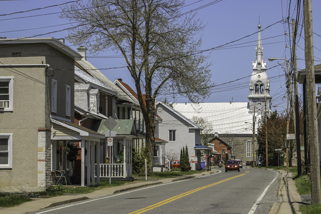
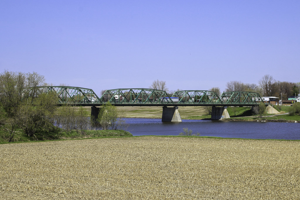
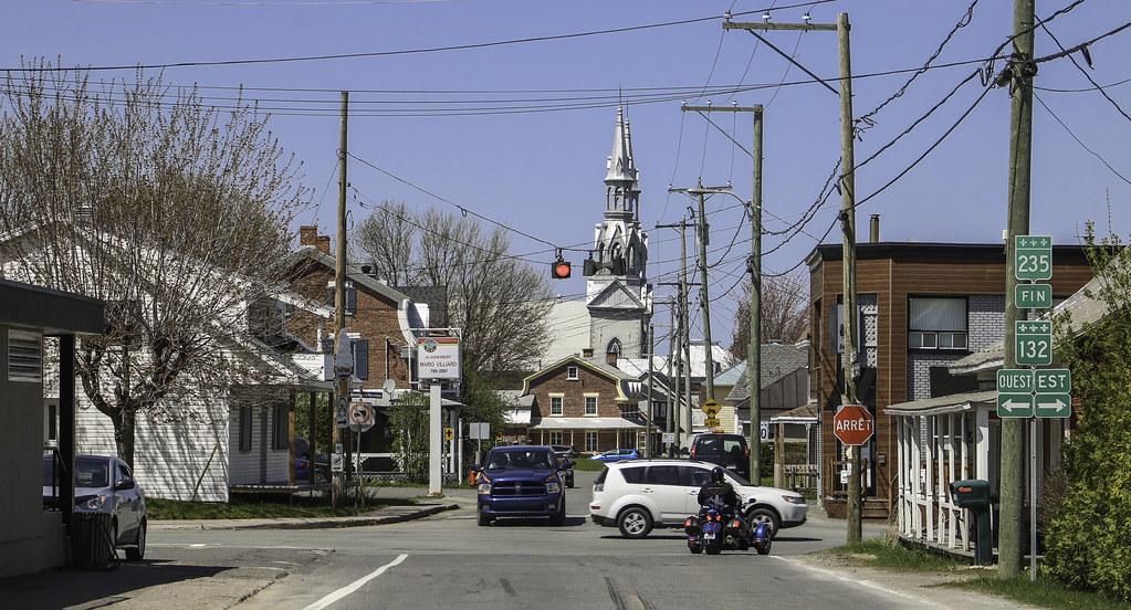
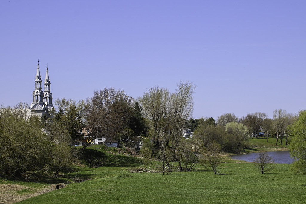
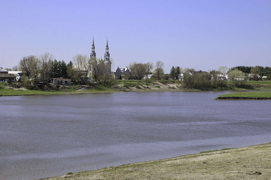
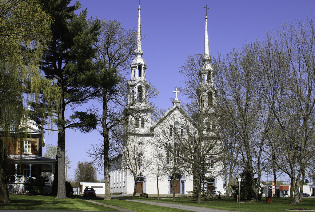
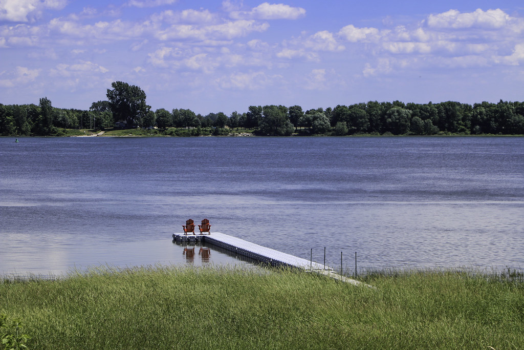
Following the course of the Yamaska 11 km downstream, we reach the lively village of Yamaska, settled as of 1683 and officially founded in 1722. It is enjoyably located on both sides of the eponymous river, and both shores are linked by an interesting 300 m. long steel bridge. The village is still alive due to its position halfway between the towns of Sorel and Nicolet, on a busy national road (132).

The name Yamaska comes from the ancient Abenaki word iyamaskaw, which would mean "large rush and hay-covered tidelands". This wild hay was traditionally used for the roofs of barns and farm houses. The contemporary Abenaki name for the place is Mamaska ("toad" in english).

Au cours de la guerre de l'Indépendance américaine, un fort y sera construit pour mettre fin à la contrebande des armes à feu acheminées d'Europe via le Saint-Laurent.

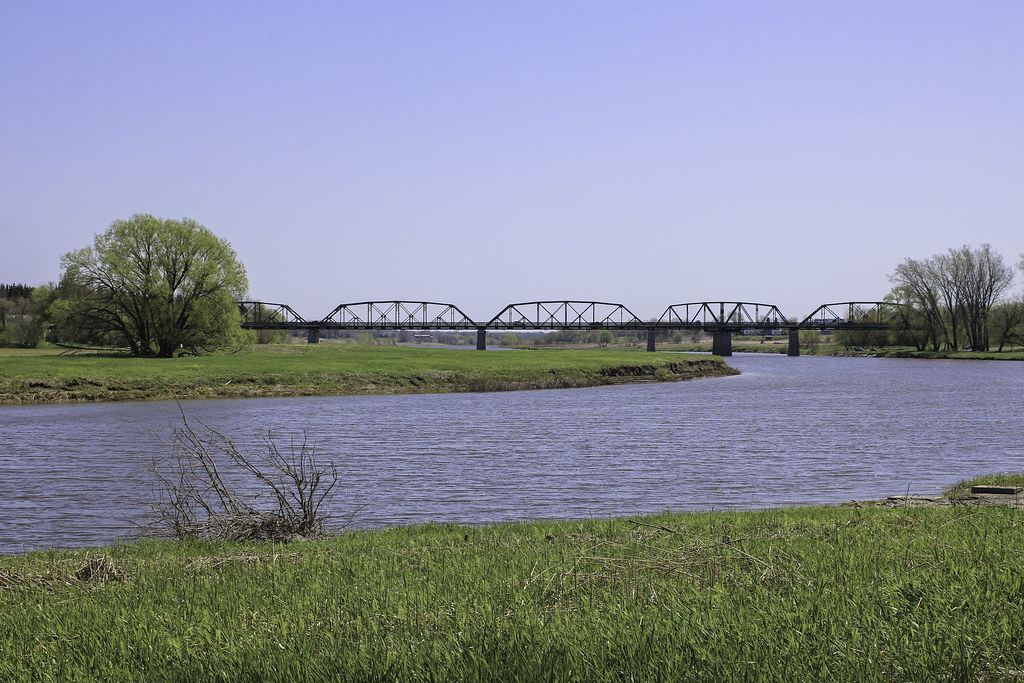
Yamaska river and Camille-Parenteau bridge
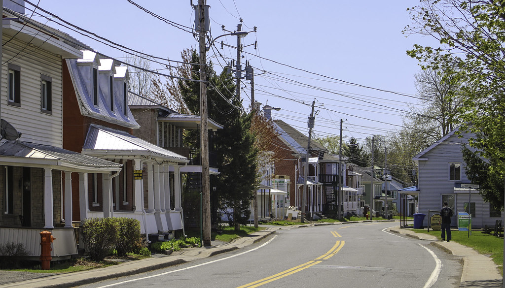


Principale street


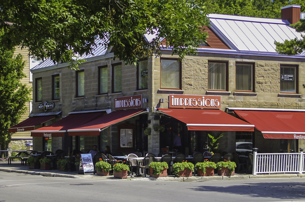
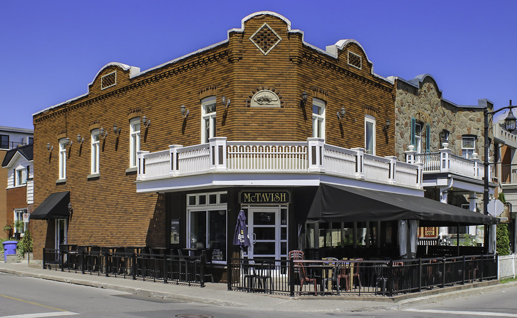
The disorganized appearence of the commercial core is typical of what is found elsewhere in Québec


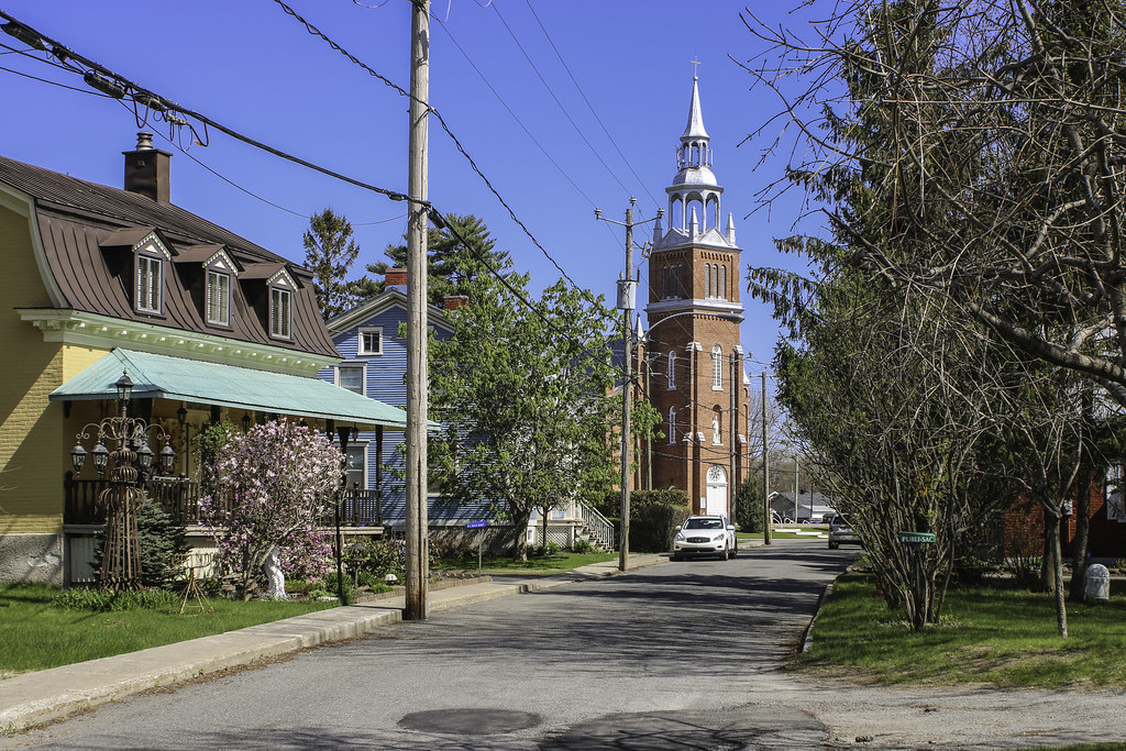
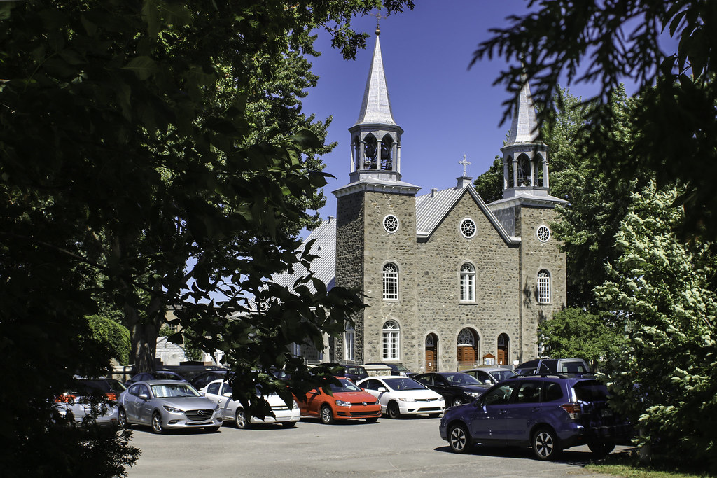
Saint-Michel church was built in 1839, replacing the first chapel from 1700. As usual, it overlooks the river and features two monumental steeples.
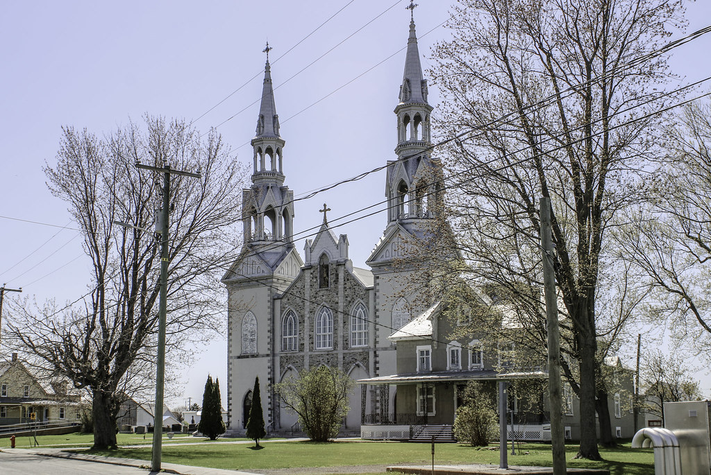
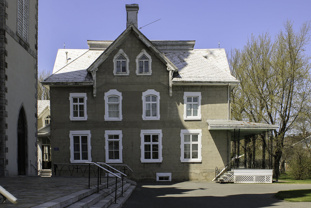


The presbytery


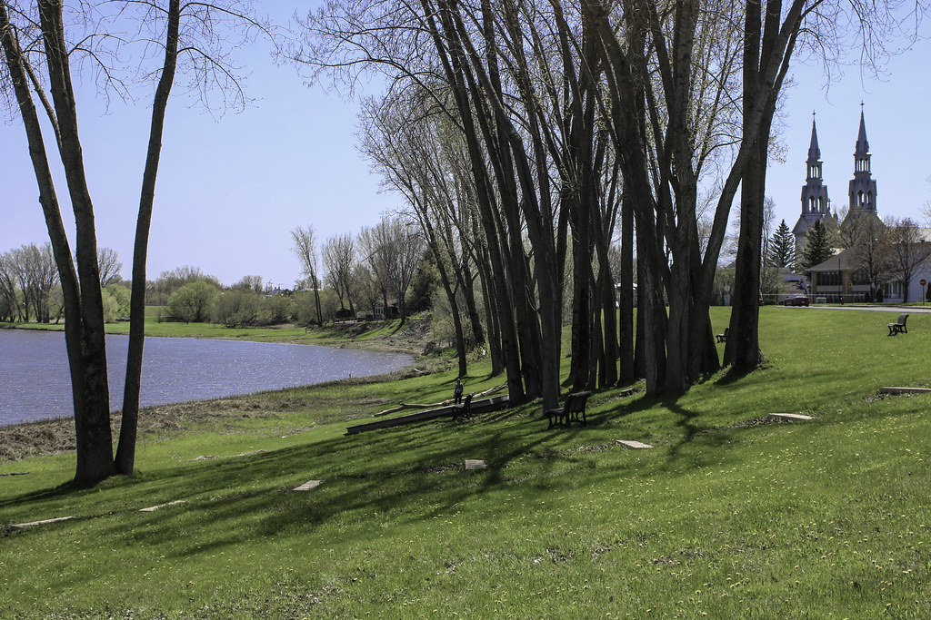
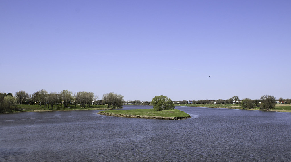
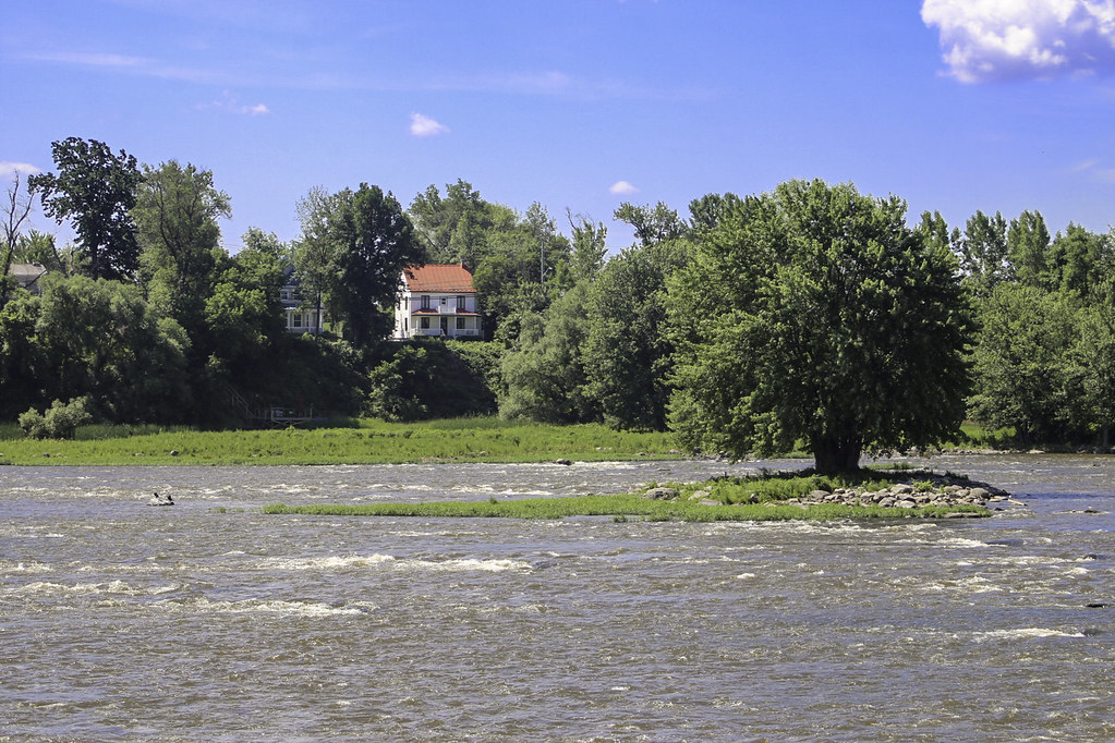
Just in front of the presbytery, between the main street and the river, there is a pleasant sloping green space offering views on the Yamaska, Sables island and the bridge. Monumental poplar trees.


I then took the bridge to reach the opposite shore. View over the village, the river and the countryside.


Sables island (l'île aux Sables) is still a communal pasture land for grazing cattle...


Population : 851

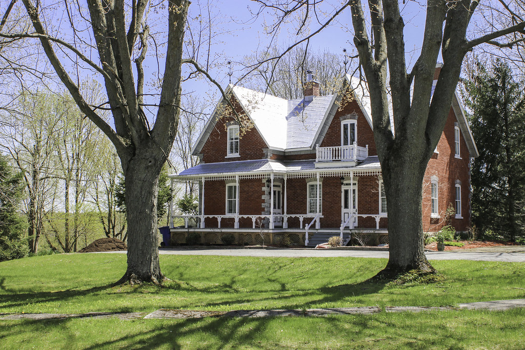
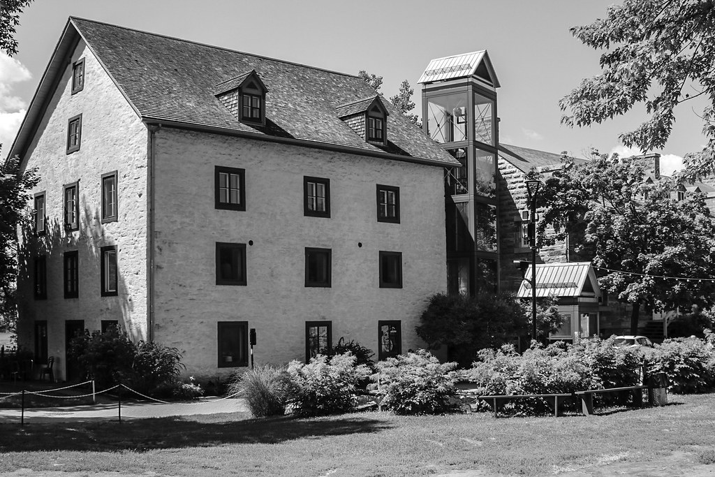
Saint-David is a small village located on David river, a tributary to the Yamaska river. The settlements around the village were late, taking place in 1751 with the concession of the Guire seigneury. A village was only founded 1831. The impressive white church is from 1840 and was designed by renowned architect Thomas Baillargé. It has always been a quaint farming village.


In the centre of this tiny village, Saint-David church is located on a wooden public square, as it is often the case in Québec. It's quite a large church for such a small place.
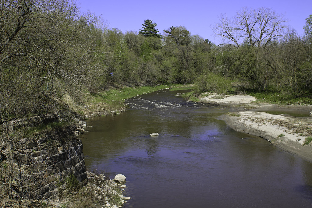


David river


Population : 1580

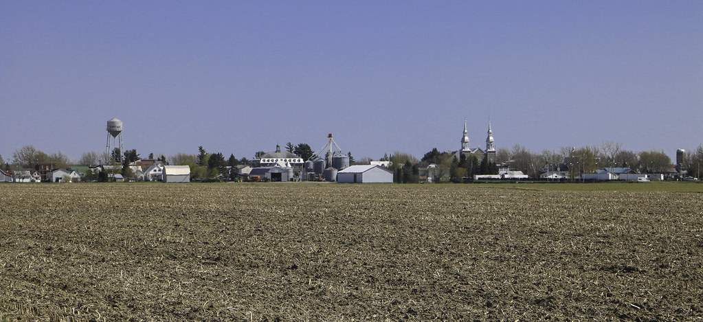
Finally, our field trip ends in the big farming village of Saint-Guillaume, at the doors of the Centre-du-Québec region. The first settlers arrived in this part of the Upton township around 1800, from Louiseville, Maskinongé and Yamachiche. In 1833, the village is founded. It was first known as Ruisseau-des-Chênes ("Oak Stream").

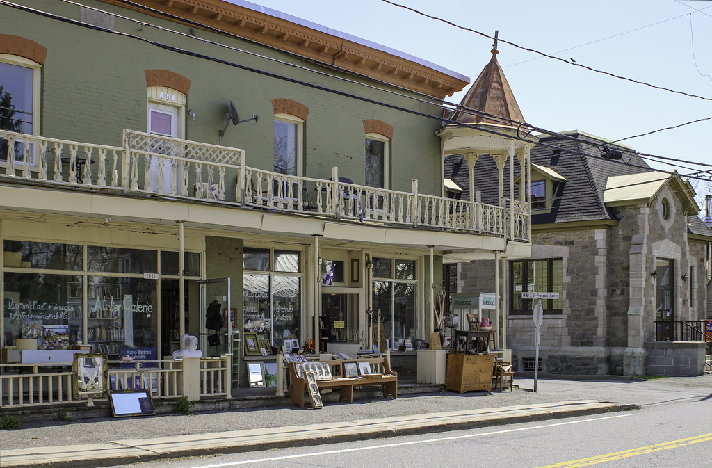
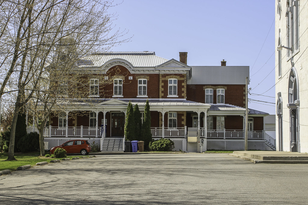
We didn't have much time to explore the village, but it showcases interesting institutional architecture too. Nowadays, it is mostly know for its curd cheese production.


Last edited by Laceoflight; Jun 19, 2018 at 7:36 PM.
Reply With Quote
     
     
  #2  
Old Posted Jun 20, 2018, 12:19 AM
Murphy de la Sucre's Avatar
Murphy de la Sucre Murphy de la Sucre is offline
Registered User
 
Join Date: Jan 2016
Location: Antwerp
Posts: 1,075
Weird, they look like France, but feel like North America;or they look like North America but feel like France ...
__________________
I am delusional, I talked to photos.
Reply With Quote
     
     
  #3  
Old Posted Jun 20, 2018, 12:13 PM
begratto's Avatar
begratto begratto is offline
Explorateur urbain
 
Join Date: Jun 2005
Location: Verdun > Montréal > Québec > Canada
Posts: 1,047
Great set of pics! It's always nice to see the countryside, not only skyscrapers.

Quote:
Originally Posted by Murphy de la Sucre View Post
Weird, they look like France, but feel like North America;or they look like North America but feel like France ...
That's a good description of Quebec, not only for the architecture, but for life in general.
__________________
Venit ad oppidum!
Reply With Quote
     
     
  #4  
Old Posted Jun 20, 2018, 12:35 PM
LMich's Avatar
LMich LMich is offline
Midwest Moderator - Editor
 
Join Date: Jan 2002
Location: Big Mitten
Posts: 31,745
My first impression is that this looks like typical small-town America, especially here in the Upper Midwest...until you got to the thin-spired and twin-spired Catholic church in each town. It must have been a style at the time or something.
__________________
Where the trees are the right height
Reply With Quote
     
     
  #5  
Old Posted Jun 20, 2018, 3:24 PM
Laceoflight's Avatar
Laceoflight Laceoflight is offline
Montérégien
 
Join Date: Nov 2014
Location: Montréal, QC <> Paris, FR
Posts: 1,232
Quote:
Originally Posted by begratto View Post
Great set of pics! It's always nice to see the countryside, not only skyscrapers.
Hé, merci !


Quote:
Originally Posted by LMich View Post
My first impression is that this looks like typical small-town America, especially here in the Upper Midwest...until you got to the thin-spired and twin-spired Catholic church in each town. It must have been a style at the time or something.
Quote:
Originally Posted by Murphy de la Sucre View Post
Weird, they look like France, but feel like North America;or they look like North America but feel like France ...
For me, I would say that it neither of those 2, it's simply canadien. It has something latin / catholic with the huge presence of one monumental church in every village. You find that in other post-renaissance areas of "latinity" (France, Italy, Latin America...) The tin spires are this canadian take on religious architecture. It was a major trend from ~1800 to ~1945. The layout of the villages though has nothing european at all ; it is typically north american scale-wise, but again with this canadian twist that is the seigneurial communal tenure (division of the land/properties in narrow bands, so that the homes were pretty close to the others, forming street villages).
Reply With Quote
     
     
  #6  
Old Posted Jun 20, 2018, 4:50 PM
Echoes's Avatar
Echoes Echoes is online now
Registered User
 
Join Date: Oct 2006
Location: Saskatoon, SK
Posts: 4,245
I enjoyed this very much, Laceoflight. Thank you!
__________________
SASKATOON PHOTO TOURS
2013: [Part I] [Part II] | [2014] | [2016] | [2022-23]
Reply With Quote
     
     
  #7  
Old Posted Jun 22, 2018, 12:34 PM
Acajack's Avatar
Acajack Acajack is online now
Unapologetic Occidental
 
Join Date: Aug 2006
Location: Province 2, Canadian Empire
Posts: 68,022
Quote:
Originally Posted by Laceoflight View Post
with this canadian twist that is the seigneurial communal tenure (division of the land/properties in narrow bands, so that the homes were pretty close to the others, forming street villages).
This is one thing I noticed even before I moved to Quebec: even many of the smallest villages have mini-streetwalls as a result of this layout.
__________________
The Last Word.
Reply With Quote
     
     
  #8  
Old Posted Jun 22, 2018, 11:15 PM
James Bond Agent 007's Avatar
James Bond Agent 007 James Bond Agent 007 is offline
Posh
 
Join Date: Aug 2003
Location: Kansas City, MISSOURI
Posts: 21,151
Oui!
Reply With Quote
     
     
  #9  
Old Posted Jun 23, 2018, 6:19 AM
xzmattzx's Avatar
xzmattzx xzmattzx is online now
Registered User
 
Join Date: May 2006
Location: Wilmington, DE
Posts: 6,349
Nice pictures! It's good to see rural Quebec on here!
Reply With Quote
     
     
  #10  
Old Posted Jun 23, 2018, 5:13 PM
DavisAccution DavisAccution is offline
Registered User
 
Join Date: Nov 2017
Location: Minnesota
Posts: 2
Ah I've always wanted to visit the French part of Canada. This makes me want to visit it more. It's got a very home feeling!
Reply With Quote
     
     
  #11  
Old Posted Jun 24, 2018, 1:05 PM
arkitekte's Avatar
arkitekte arkitekte is offline
Preds/Titans/Grizz
 
Join Date: Mar 2010
Location: San Antonio, TX
Posts: 2,569
Nice thread! I visited Montreal and Quebec City back in May; it's nice to see some of the rural towns that I missed out on.
__________________
I built it ground up. You bought it renovated.
Reply With Quote
     
     
  #12  
Old Posted Jun 28, 2018, 8:02 PM
-AX-'s Avatar
-AX- -AX- is offline
Registered User
 
Join Date: Aug 2004
Location: Montréal
Posts: 2,181
Nice thread! Well documented and well framed photos! I enjoyed a lot, thanks for posting! Looking forward to the next one!
__________________
Flickr
Reply With Quote
     
     
  #13  
Old Posted Jun 28, 2018, 8:39 PM
Coldrsx's Avatar
Coldrsx Coldrsx is offline
Community Guy
 
Join Date: Dec 2003
Location: Canmore, AB
Posts: 66,745
A drive through rural Quebec is one of the best things one can do.
__________________
"The destructive effects of automobiles are much less a cause than a symptom of our incompetence at city building" - Jane Jacobs 1961ish

Wake me up when I can see skyscrapers
Reply With Quote
     
     
  #14  
Old Posted Jul 6, 2018, 3:31 PM
Laceoflight's Avatar
Laceoflight Laceoflight is offline
Montérégien
 
Join Date: Nov 2014
Location: Montréal, QC <> Paris, FR
Posts: 1,232
Quote:
Originally Posted by DavisAccution View Post
Ah I've always wanted to visit the French part of Canada. This makes me want to visit it more. It's got a very home feeling!
Thanks, Davis ! Quebec and Minnesota definitly share some common traits

Quote:
Originally Posted by Echoes View Post
I enjoyed this very much, Laceoflight. Thank you!
Quote:
Originally Posted by xzmattzx View Post
Nice pictures! It's good to see rural Quebec on here!
Quote:
Originally Posted by arkitekte View Post
Nice thread! I visited Montreal and Quebec City back in May; it's nice to see some of the rural towns that I missed out on.
Quote:
Originally Posted by Coldrsx View Post
A drive through rural Quebec is one of the best things one can do.
Thanks, guys !

Quote:
Originally Posted by -AX- View Post
Nice thread! Well documented and well framed photos! I enjoyed a lot, thanks for posting! Looking forward to the next one!
Thank you very much, -AX-, and I'm looking forward for some new photographic expedition form you soon as well There will be more travels, indeed ! Later today, I'll post a trip into suburban Montréal. And tonight, I am leaving for a 4 days trip to Charlevoix / Saguenay. More is planned for August...
Reply With Quote
     
     
  #15  
Old Posted Jul 6, 2018, 5:59 PM
Laceoflight's Avatar
Laceoflight Laceoflight is offline
Montérégien
 
Join Date: Nov 2014
Location: Montréal, QC <> Paris, FR
Posts: 1,232
2. July 3, 2018
SUD DE LANAUDIÈRE, GRAND MONTRÉAL
(de Terrebonne à Saint-Sulpice)


This second set brings us to the southern part of the Lanaudière administrative region, in the northern suburbs of Montréal. The small area between the towns of Terrebonne and Saint-Sulpice went from farmland to extensive suburbia in about 20 years, between 1940 (population 7k) and 1960 (population 30k), and accounts for more than 212k people today. Terrebonne has always been the main industrial centre of the region, while Repentigny and Saint-Sulpice were historically small farming villages.

The suburban sprawl of Montréal is quite uninteresting at first. However, the natural setting of the metropolitan area sets a quite interesting landscape : the Saint-Laurent river is wide, and the cities grew on and around islands. The Hochelaga archipelago features at least 320 islands scattered along the rivers, the biggest of them being Montréal and Jésus (Laval) islands. The old villages grew into cookie-cutter neighbourhoods and eventually merged, but their cores remain.


Population : 115 561

Terrebonne is one of the fastest-growing suburbs of Montréal. The territory of the city was settled from 1673, and Terrebonne was officially founded in 1722. The village grew quickly, benefiting from the impetuousness of Mile-Îles river.

We arrive in the old core of Terrebonne by a winding road that follows the river. On the opposite shore, we get views over Laval. The neighbourhood is quiet and has a holiday atmosphere. These old homes mostly belonged to prominent citizens.


In a detour of the road, a dam and an old greystone mill are visible : we're getting into the old bourg of Terrebonne. The mill is on a small island converted into a public park : L'Île-des-Moulins (translation : Mills Island). This island was the industrial core of Terrebonne. 4 old mills were restored. Today, this neighbourhood is pedestrian. There are a beer garden, an outdoor amphitheatre, museums and community gardens.


Terrebonne's public library is located in one of these old mills, more precisely in the former power station : it's literally built over the river arm, next to the reservoir basin.


On the other shore of the river arm lies what the Terrebonniens call "downtown".


The three main commercial streets of the area are Saint-Jean-Baptiste, Saint-Pierre and boulevard des Braves.


Saint-François-Xavier Street is the oldest of the town. The Bélisle House was built in 1759 and was converted into a small museum.


Along the river and just in front the old seigneurial mansion is Masson park, on Saint-Louis Street.


This old mansion was built in 1848 for the account of Lady Sophie Raymond Masson, the widow and heir of Seigneur Joseph Masson, the last seigneur of Terrebonne (the Act abolishing the feudal orders in Canada was put into effect in 1854, thus instituting a municipal system). The mansion was turned into a college : Saint-Sacrement.


Along Saint-Louis Street, the institutional heart of Terrebonne.


A generous network of littoral public spaces allows the citizens to hop from an island to the other, and to take full advantage of the rivers.


Sadly, some Terrebonniens were mourning on this otherwise perfect day of work...


Sainte-Marie Street


Saint-Joseph Street


Population: 84 965

There is not much to say about Repentigny. It is a very standard bedroom community within Greater Montréal. It's as typical as it gets.


Lebel Island is located next to what remains of the village core. It has become Repentigny's central park. Over the Saint-Laurent and its islands, we glimpse the spires of Saint-Anne Basilica, located in the town of Varennes.


Though Repentigny may be bland aside from its location, there are a few architectural surprises, for the ones who know where to look. The town has two old windmills :

Grenier windmill, built in 1823 - it's a museum


Antoine-Jetté windmill, built in 1820, and less accessible as it is located in a private backyard


There are also two remarkable churches in Repentigny. The first one is the mother church of the parish. Repentigny was settled as soon as 1647, only 5 years after Montréal, and officially founded in 1669. La Purification-de-la-Bienheureuse-Vierge-Marie Church was built from fieldstones in 1723, in replacement of the wooden chapel erected in 1683. It's the oldest still-standing in the Diocese of Montréal.


The other remarkable church is Notre-Dame-des-Champs. It was built in 1962-1963 and designed by Roger d'Astous, an acclaimed church architect. Because of its shape, Notre-Dame-des-Champs earned the nickname "La Sacoche" ("the Handbag") among the neighbours.


Population : 3 453

Finally, my journey ended in Saint-Sulpice for a reunion. I did not have much time to wander in the village though. It's a wonderful small and still little known place, located on the fringes of Greater Montréal, all along the Saint-Laurent. It has retained some of its rural character. It is also quite historical : settled in 1663, founded in 1706.
On the shores of the river, we can see Montréal and the Mont Royal in the distance...


The Chemin du Roy was the first route built in Nouvelle-France in order to link the villages to Montréal, Trois-Rivières and Québec.


Reply With Quote
     
     
  #16  
Old Posted Jul 7, 2018, 4:21 PM
EastSideHBG's Avatar
EastSideHBG EastSideHBG is offline
Me?!?
 
Join Date: Jul 2001
Location: Philadelphia Metro
Posts: 11,218
Beautiful!
__________________
Right before your eyes you're victimized, guys, that's the world of today and it ain't civilized.
Reply With Quote
     
     
  #17  
Old Posted Jul 9, 2018, 9:22 PM
begratto's Avatar
begratto begratto is offline
Explorateur urbain
 
Join Date: Jun 2005
Location: Verdun > Montréal > Québec > Canada
Posts: 1,047
There are quite a lot of great suburbs with well-preserved historical core around Montreal. Thanks for sharing these awesome pics
__________________
Venit ad oppidum!
Reply With Quote
     
     
  #18  
Old Posted Jul 12, 2018, 3:31 PM
MonkeyRonin's Avatar
MonkeyRonin MonkeyRonin is online now
¥ ¥ ¥
 
Join Date: Sep 2006
Location: Vancouver
Posts: 9,898
Terrebonne was surprisingly nice. I look forward to seeing some of the more far-flung towns of the region though!
__________________
Reply With Quote
     
     
  #19  
Old Posted Sep 4, 2018, 1:15 AM
gatt's Avatar
gatt gatt is offline
Gatinois et fier
 
Join Date: Mar 2005
Location: Gatineau,Québec
Posts: 3,406
moi qui se demandais ou était la fromagerie du fromage qu'on a au dépanneur près de chez moi a Gatineau.
__________________
GATINEAU=280 000

GATINEAU-OTTAWA=1 300 000
gatinopolis.miniville.fr
gatinopolis.miniville.fr/ind
Reply With Quote
     
     
  #20  
Old Posted Sep 26, 2018, 1:27 AM
TheseBoots's Avatar
TheseBoots TheseBoots is offline
Registered User
 
Join Date: Sep 2018
Location: Ottawa - Orléans
Posts: 48
Beautiful. I have enjoyed travelling through much of the French-Canadian countryside, but have not been to this area. It is idyllic. I like the kind of ski-sloped roofs that I once knew the name of as well as the twin spire churches.
Reply With Quote
     
     
This discussion thread continues

Use the page links to the lower-right to go to the next page for additional posts
 
 
Reply

Go Back   SkyscraperPage Forum > Photography Forums > My City Photos
Forum Jump


Thread Tools
Display Modes

Forum Jump


All times are GMT. The time now is 3:25 AM.

     
SkyscraperPage.com - Archive - Privacy Statement - Top

Powered by vBulletin® Version 3.8.7
Copyright ©2000 - 2024, vBulletin Solutions, Inc.