Quote:
Originally Posted by Scott Charles

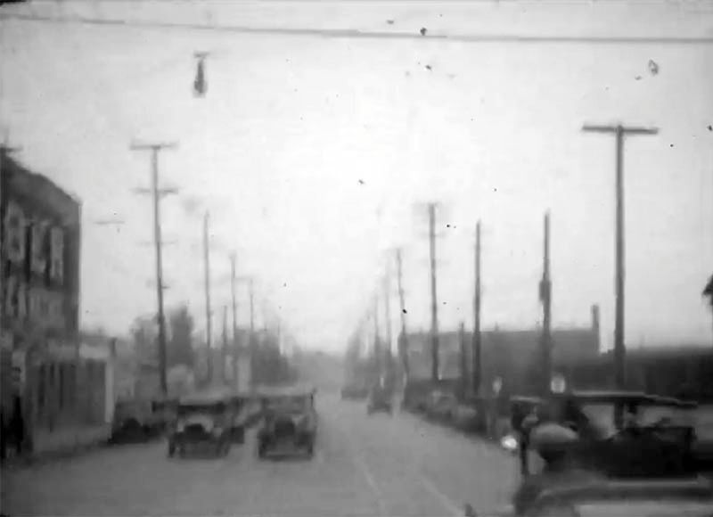
Clip #6: I have no idea where this is. In the beginning of the clip, we cross over a train track - you can see the railroad signs on the left of the picture. Once the car turns left, you can see City Hall looming in the distance:
• Video Link
|
Believe it or not, I think this clip starts in the same place as clip #4, but facing in the opposite direction. That would be about where the "M" of "Macy" is marked. The camera car then heads west and turns south onto Main.
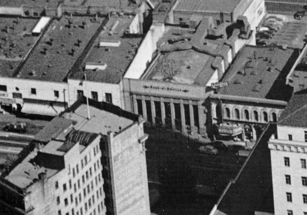
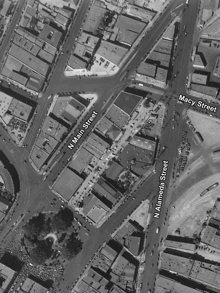 mil.library.ucsb.edu
The view above is from November 29, 1933, and I initially discounted this as the correct location because there are buildings dead ahead as the car turns onto Main. Then I checked earlier images which showed the area before Macy was extended to Spring. I've marked the extension on the January 1, 1929 view below. It's a shame the picture doesn't extend slightly north.
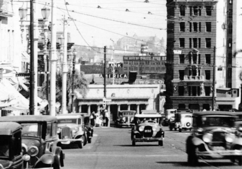
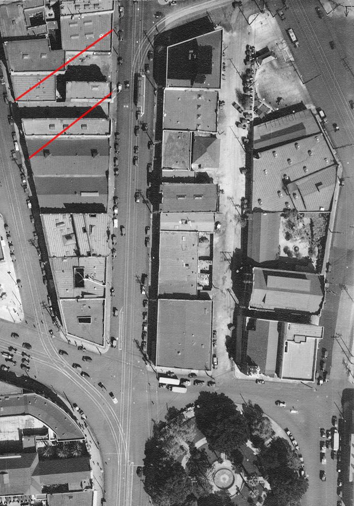 mil.library.ucsb.edu
Here's a re-positioned detail of the USC image I posted earlier. I think the tower on the Baker Block (lower-right, below) is visible near the end of the video clip.
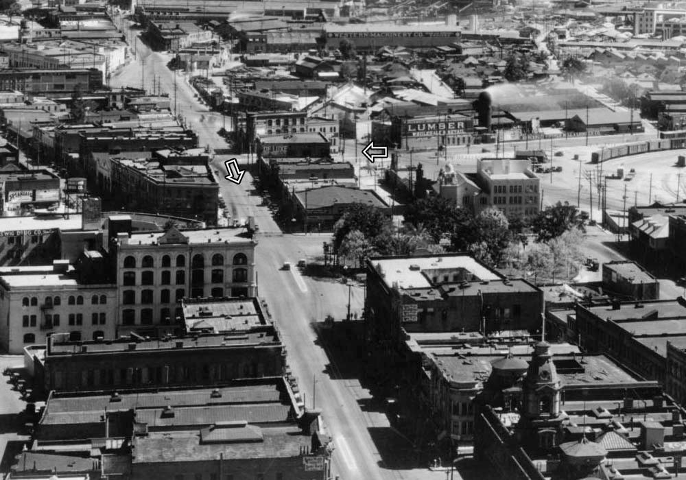 USC Digital Library
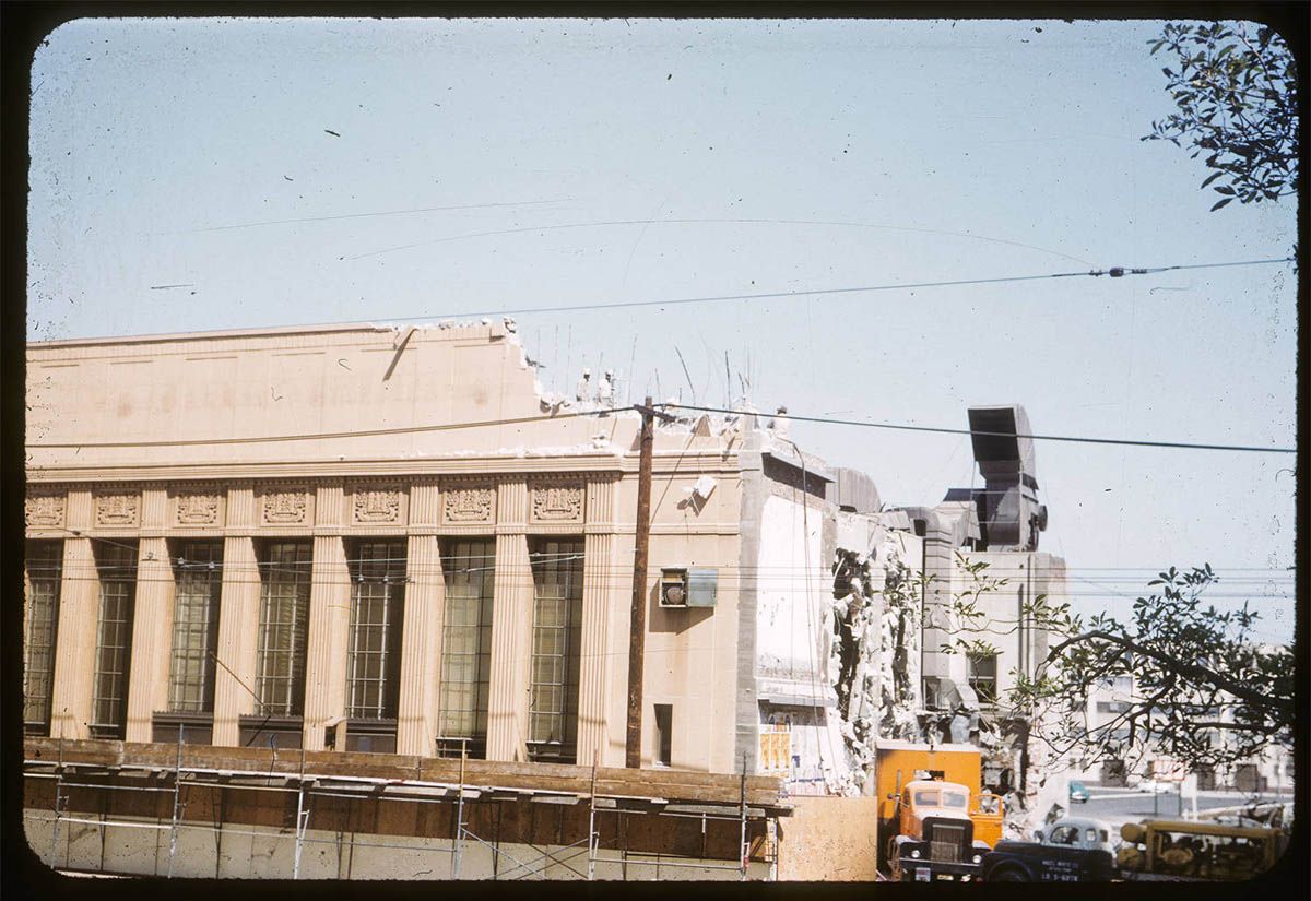
For anyone who's interested, I posted later pictures of the building on the northeast corner of Macy and Main in
post #22221.


 Prev
Prev


 Google Street View
 Google Maps-3D view


 file old


 Linear Mode
