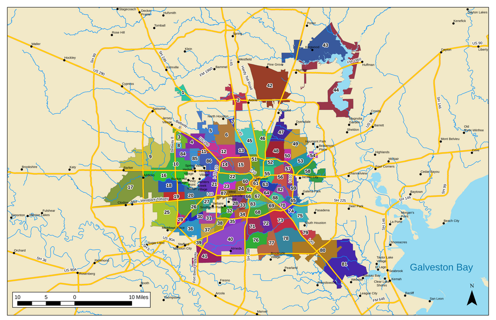
Chicago has a two tier neighborhood system:
Tier 1: the 77 larger-scale "community areas" of the city. These are formally defined with hard and fixed boundaries. They are used for planning purposes and all kinds of demographic stat tracking.

Tier 2: the innumerable sub-neigborhoods that make up each community area. These are informal and much more loosely defined, with borders, and sometimes even names, that can change over time and are thus open for debate depending on who you talk to.
For example, we live in Chicago's "Lincoln Square" Community Area (#4 on the map above), but within that Community Area we live in the "Ravenswood Gardens" neighborhood. The other sub-neighborhoods of the Lincoln Square Community Area are "Ravenswood", "Bowmanville", "Budlong Woods", "Lincoln Square", "North Lincoln Square" and others.
The sub-neighborhoods, because of their fungible boundaries, are often abused by realtors who often try to stretch the boundaries of some of the more popular and trendy ones with statements like "only steps away from the hot andersonville corridor" when in fact the property might be a mile away. But they can't bend the rules with community areas because those boundaries are defined and fixed.


 Prev
Prev


 Linear Mode
