Another noirish street scene from Calisphere labeled "View is looking south on Figueroa st Exposition Boulevard. The City's Streets have become a perilous No Man's Land of crime, due to curfew in effect 9 p.m., Saturday night. Photo dated: March 6, 1966." This was 7 months after the Watts riots. There was (and is) a 10 pm city curfew on persons under 18 years old unaccompanied by adults.

calisphere.org
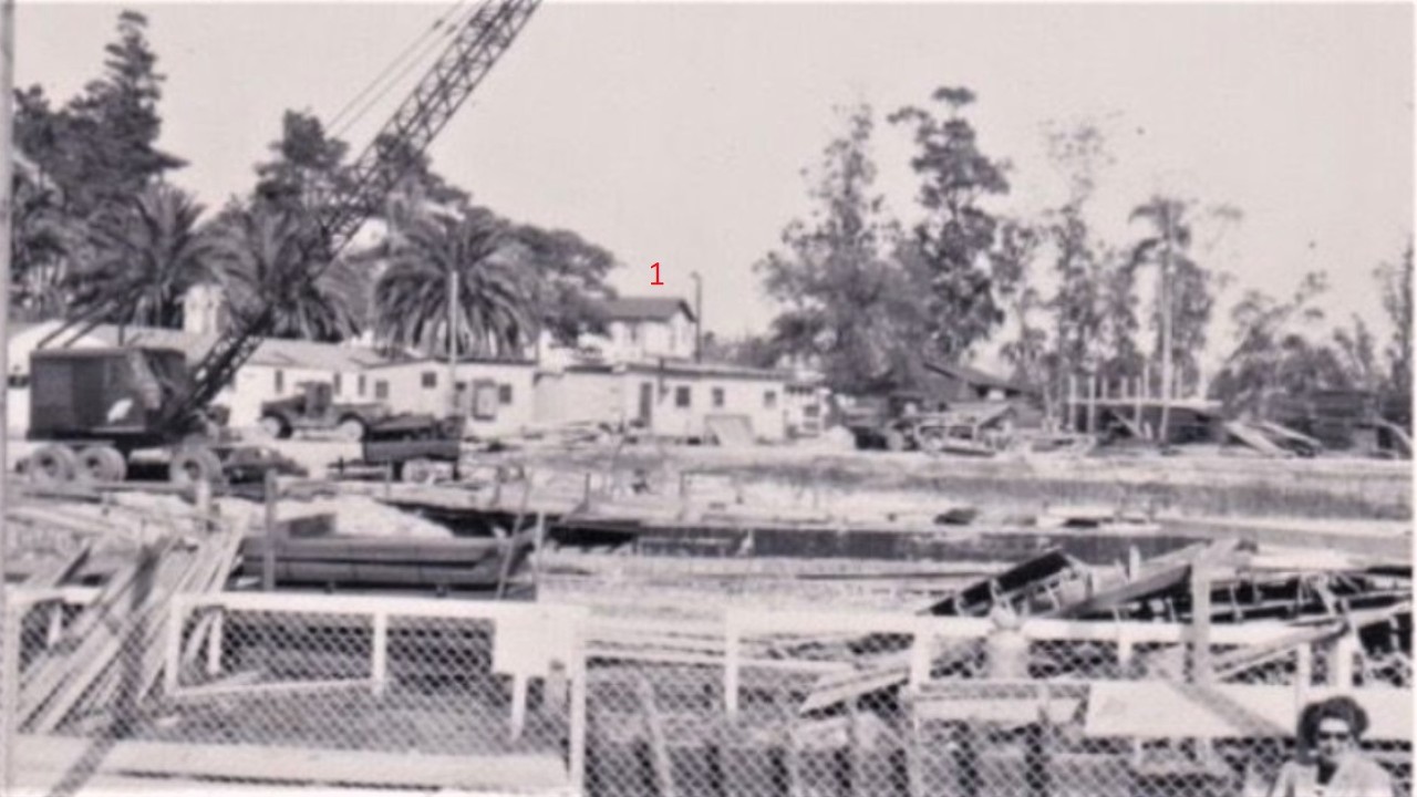
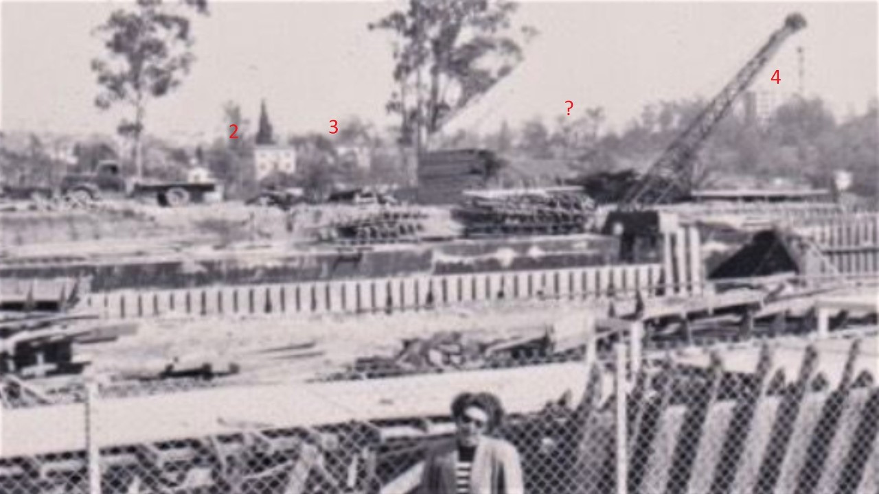
I couldn't match Figueroa and Exposition to this picture, though. The only clear business name is "Figueroa Medical Offices" but the online city directories didn't have a listing.

Driving the Sanbornmobile up and down Figueroa eventually led to the corner of Fig and Santa Barbara:

lapl.org
sopas_ej posted a view of this intersection 7 years ago:

calisphere.org
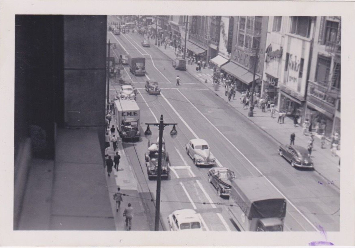
This is captioned "Figueroa Street looking south to Santa Barbara Avenue (later Martin Luther King, Jr. Boulevard), with the Coliseum Hotel and National Automotive School on the left and the Figueroa Theater on the right."
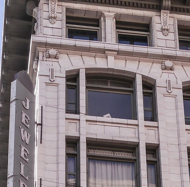
e_r probably would like a better view of those roof signs.
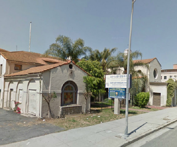
The Coliseum Hotel was built in 1927 by the Zobelein interests, the beer family often mentioned on this thread. It disappears from aerial photography around 1985. Today the hotel site is a mini-mall not worth posting.


 Prev
Prev


 )
)


 Google Street View


 but I'll leave the post up because the first photo is worth revisiting and the Sanborn is new.
 Nothing seems to yield an address. The closest indication I've found is from the 1935 article, "The estate is just over the hill west of the La Vina Sanatarium and east of the Millard Canyon mouth." I bet one of our NLA wizards will come up with it!


 Linear Mode
