People who were around half a year ago will remember I made a
bit of a discovery as I was surfing around Google Maps and noticed that there were remnants of the houses that used to exist on Fremont Ave and directly adjacent to the legendary Court Circle. It took me and I think everyone here by surprise how these remains, hiding in plain sight, could have gone so unnoticed and undisturbed after all this time. But once someone made the connection that the property was
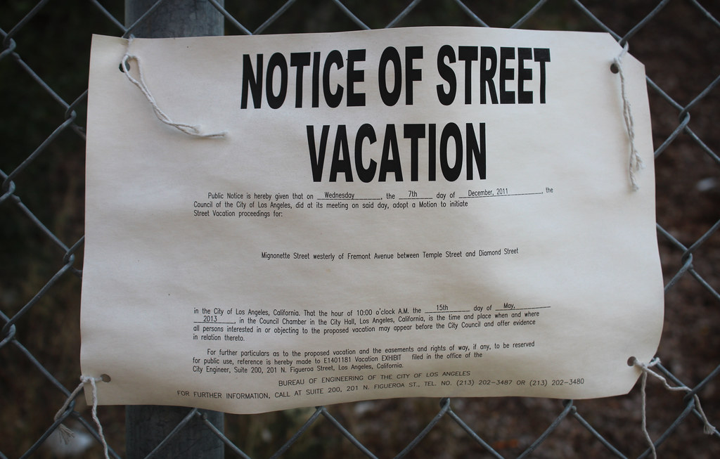
coming up for redevelopment I made it a point that the next time I was in LA I would get my butt down there and document whatever was left.
Well I'm in and out of town a bunch this month, and this past Saturday, June the 29th I was able to borrow the company vehicle and head down just as the sun was trying to disappear for the day. Laws were broken and one camera battery was drained in order to bring you this overabundance of pictures.
But first a quick recap...this is the image that started my obsession:
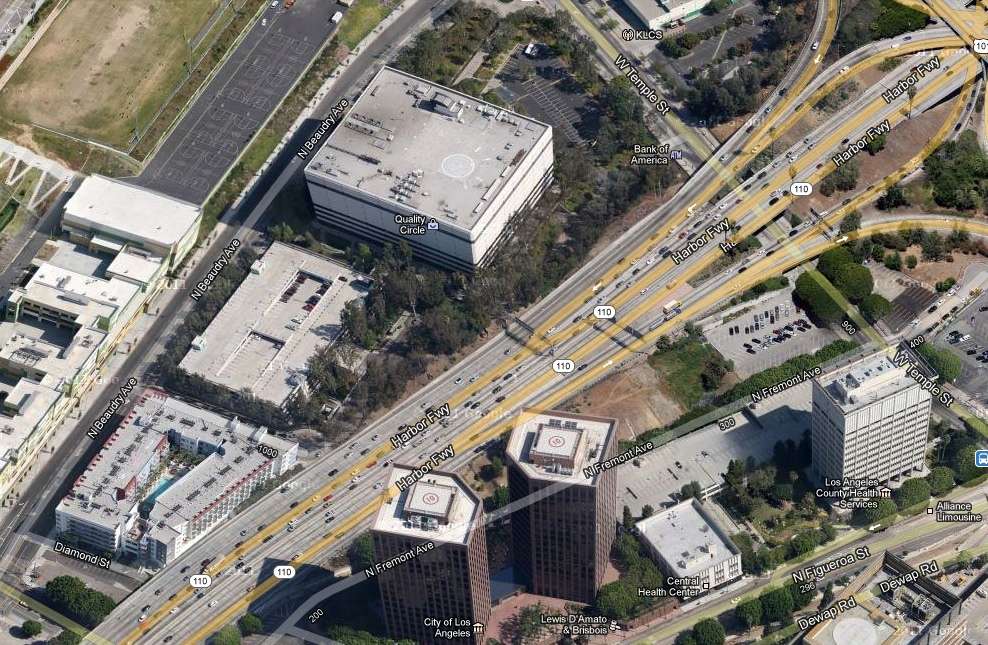
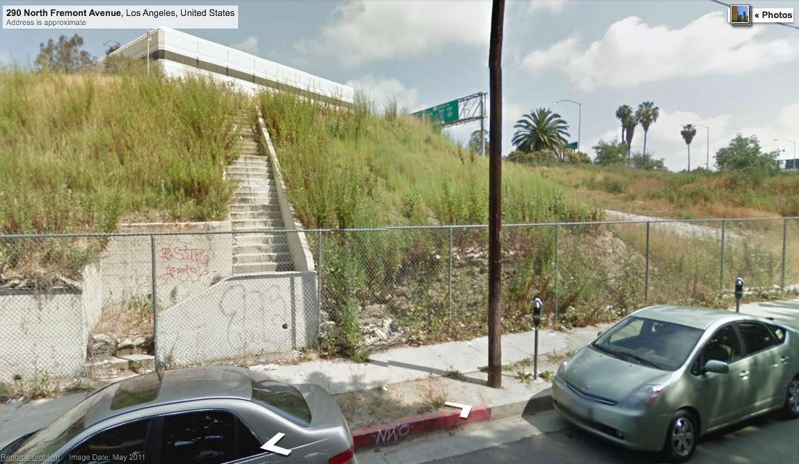
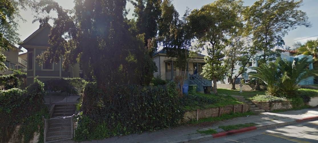
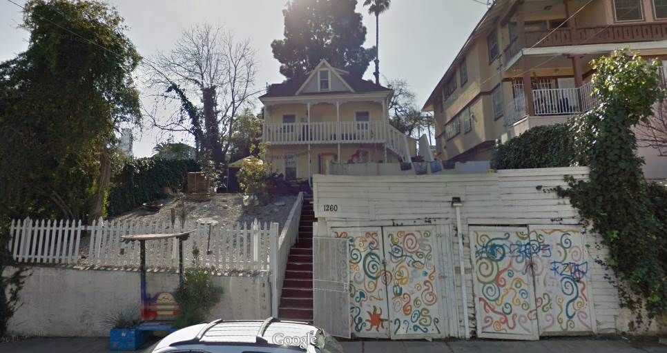
You can see the bit of road and stairs next to the twin towers. That then brought me to streetview:
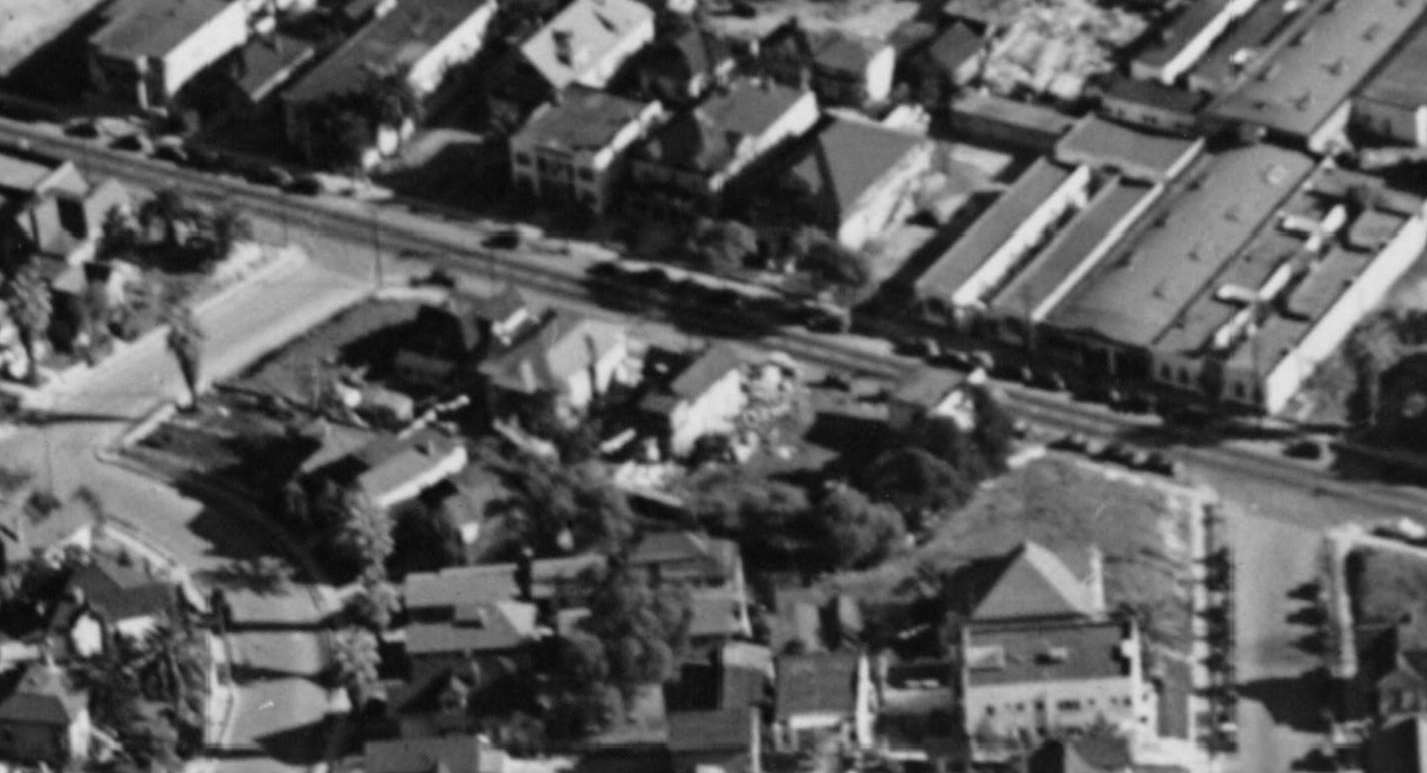
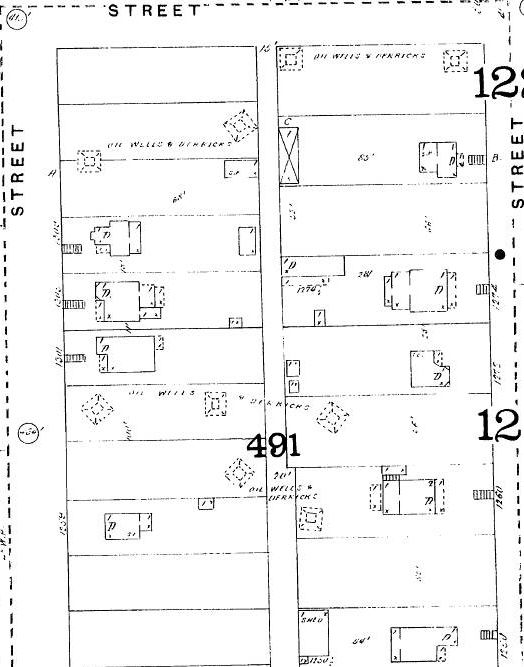
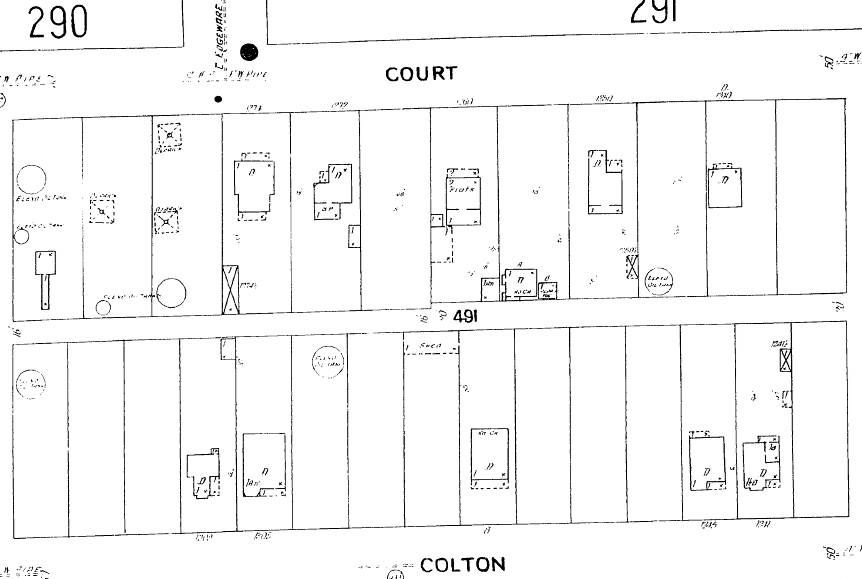
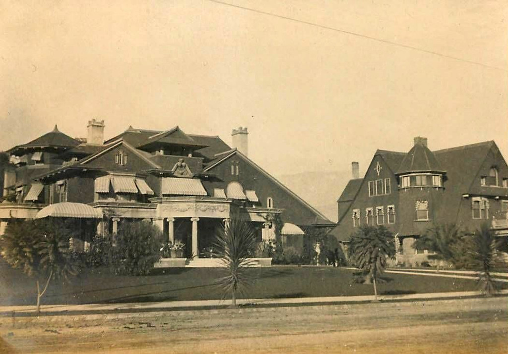
What the area looked like back in 1940:
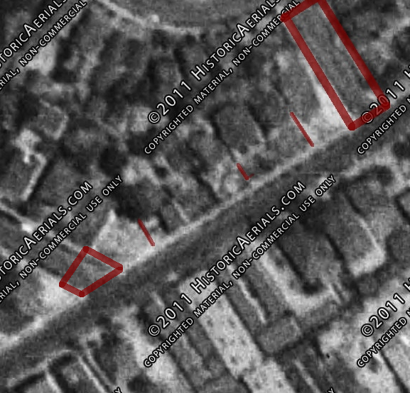
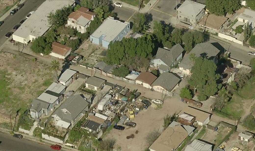
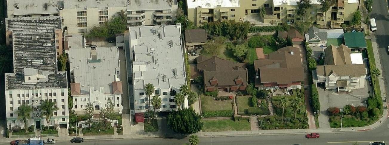
And an overlay of the remnants still with us circa 2012:
-- --
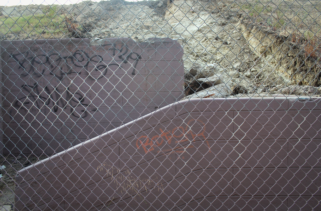
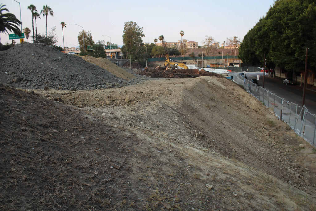
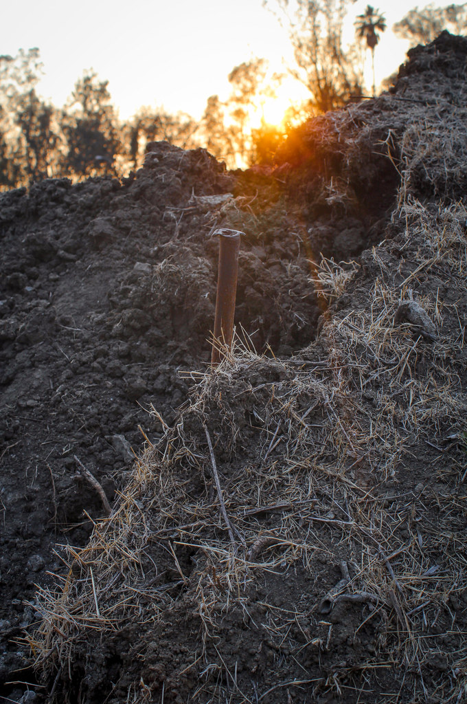
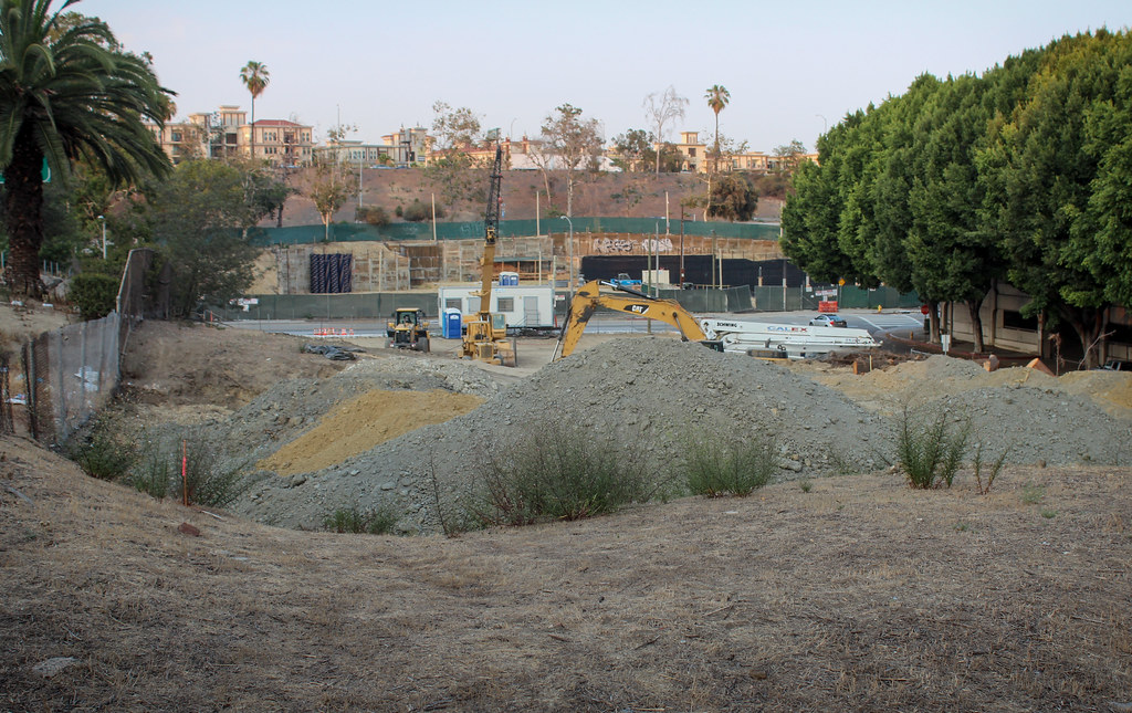
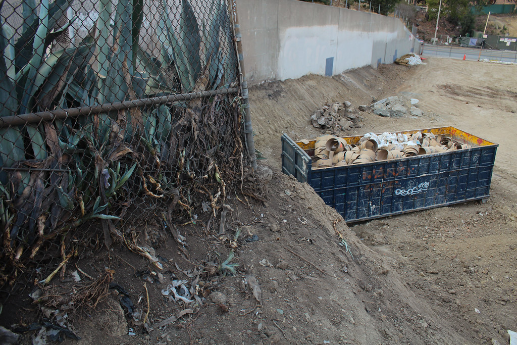
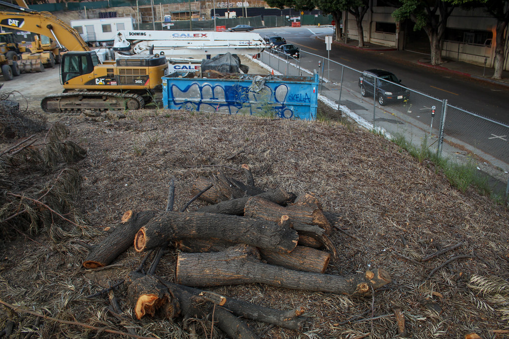
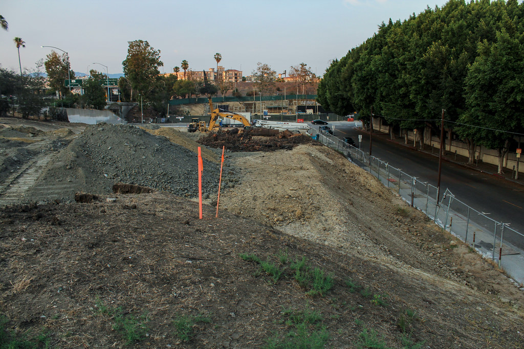
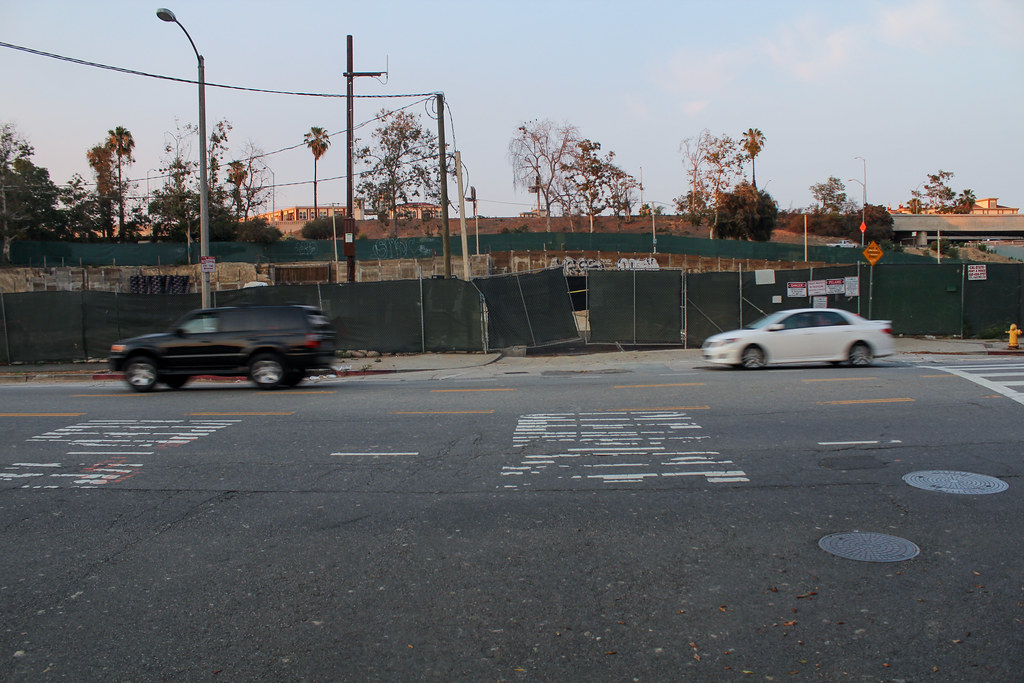
Now on to the latest evidence, starting at the southern end aka Mignonette Street:
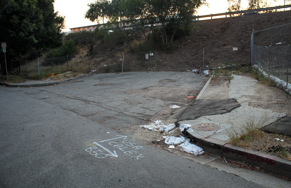
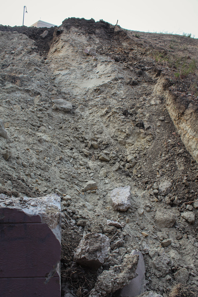
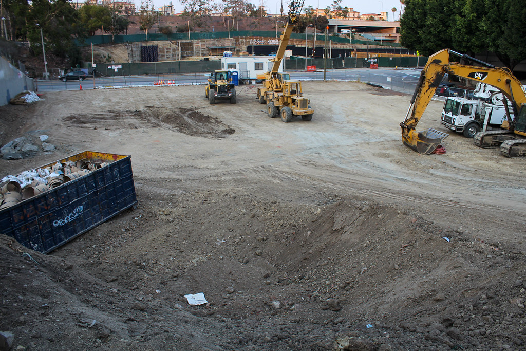
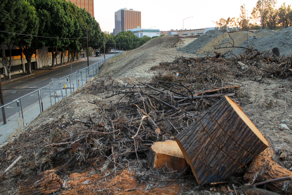
I was dismayed to see how much excavation had already taken place...


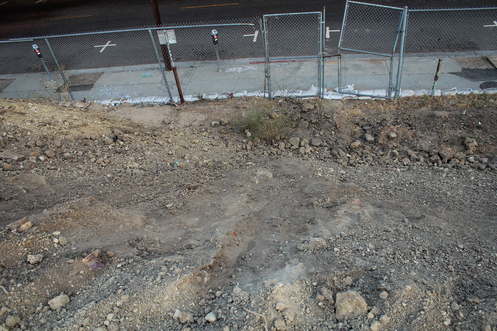
This was the most intact of the three stairwells. Also, the longer of the street stubs (the one that led to Court Circle) was virtually unrecognizable at far right.

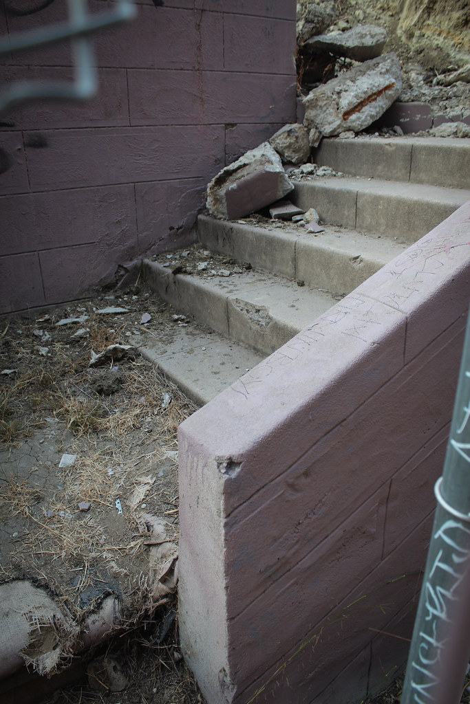
Families, and perhaps later in its life some more hardscrabble folks, used to walk up and down these stairs every day, all the way up through the 1960s.
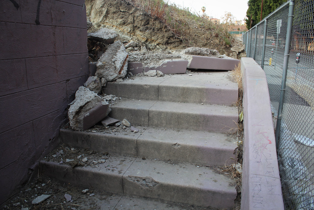
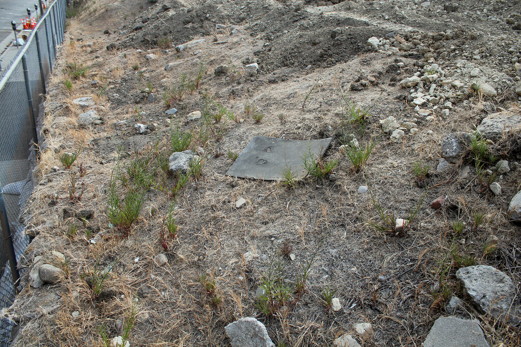
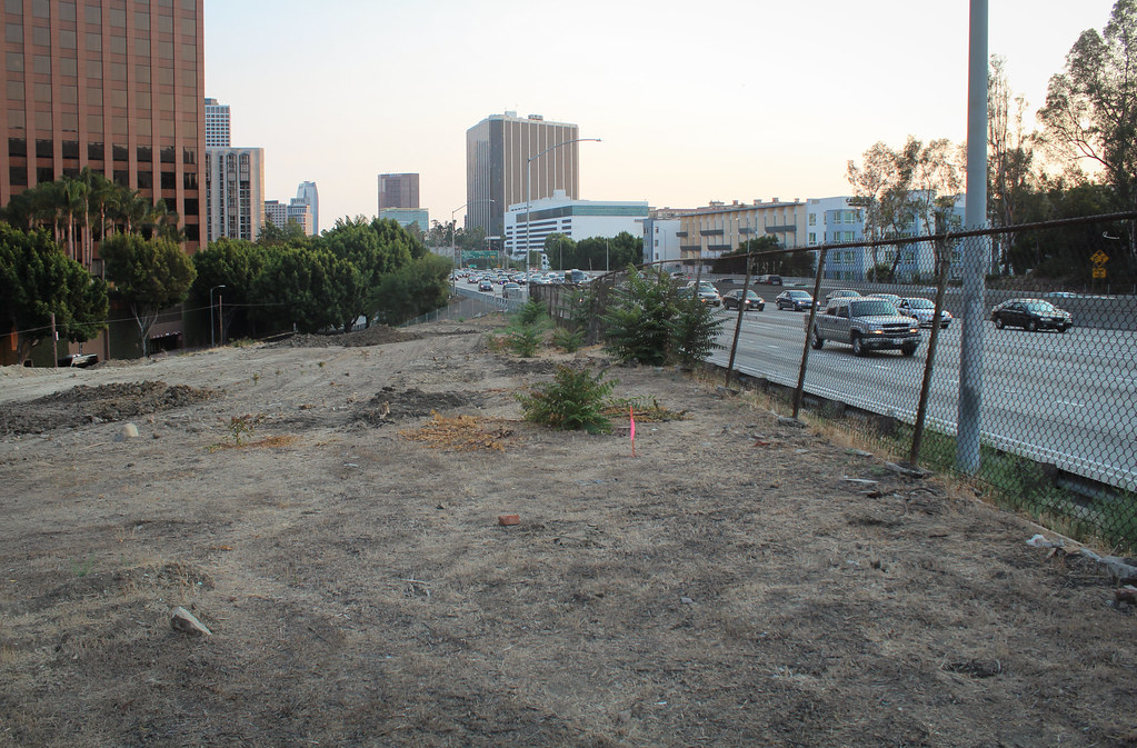
Looking north towards Temple Street:

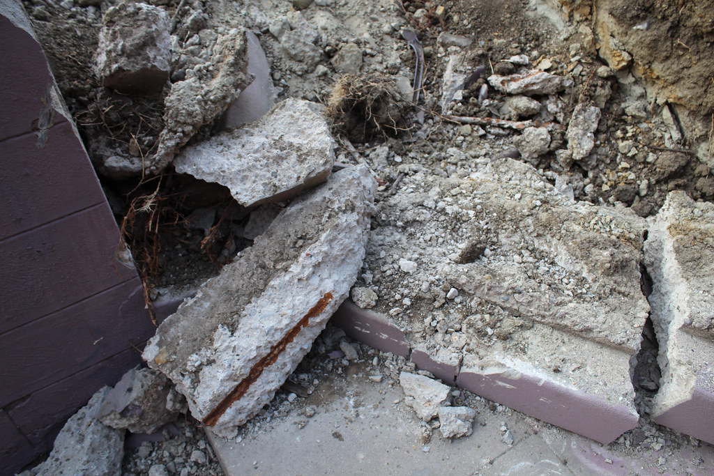
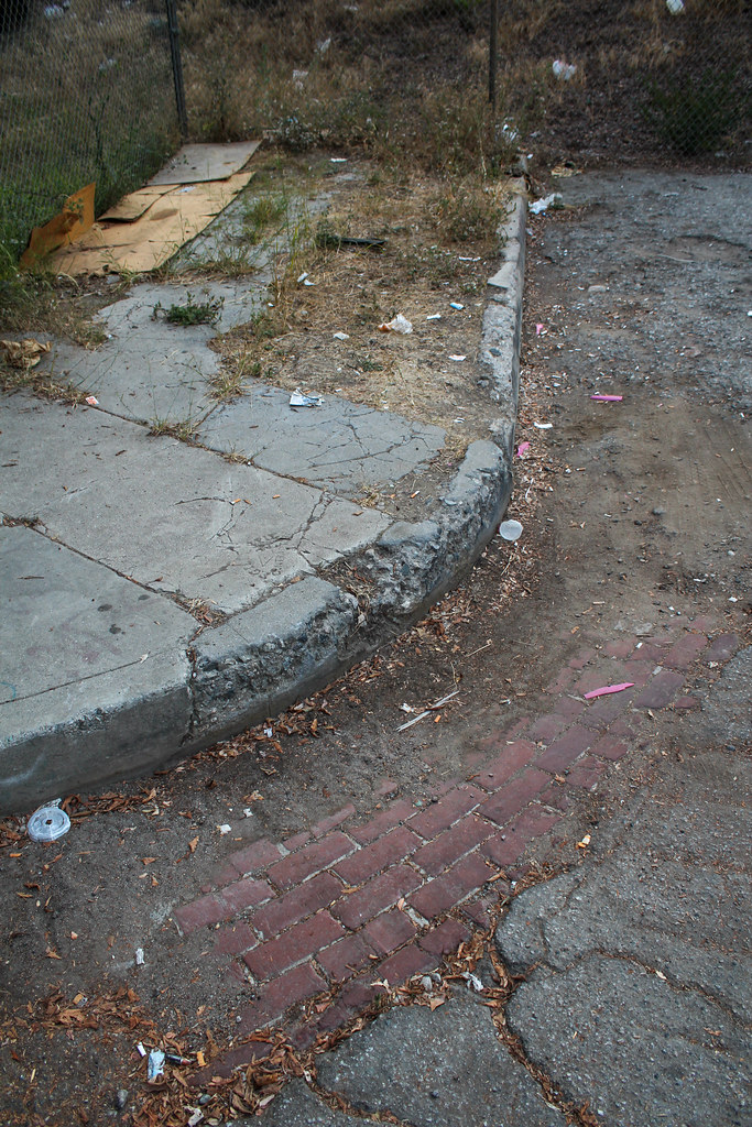
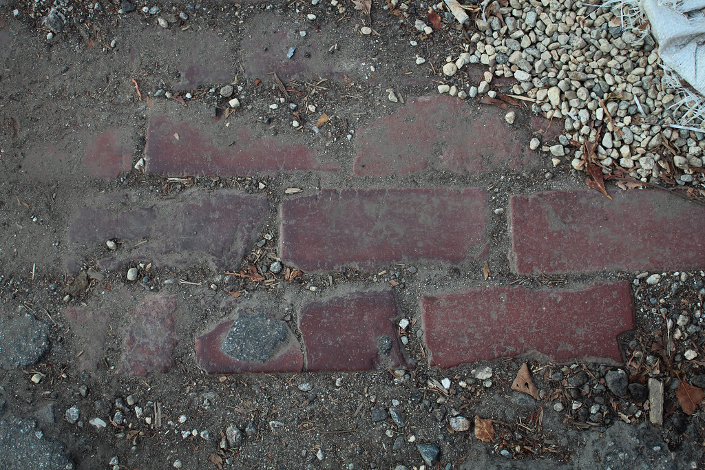
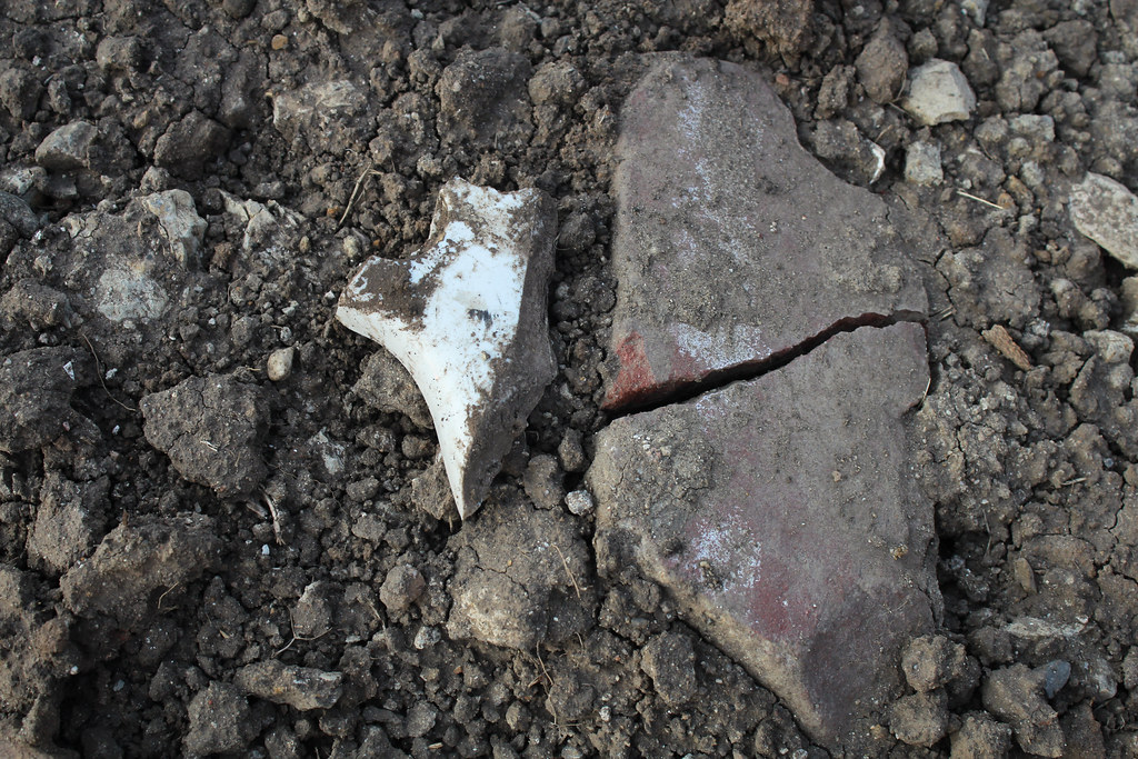
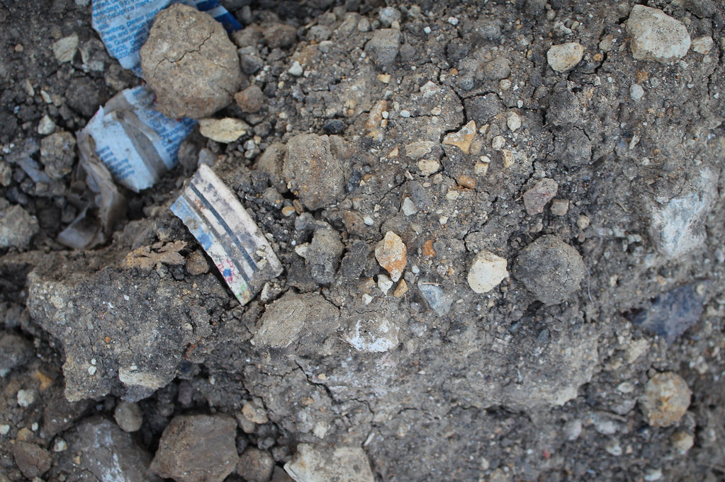
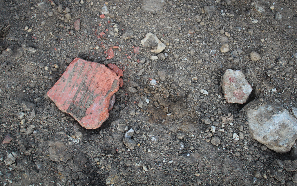
Sadly, none of the bricks I came across had legible stampings on them.

Fragments abounded, however, and I made sure to pore over every one of them for clues of how far they date back.

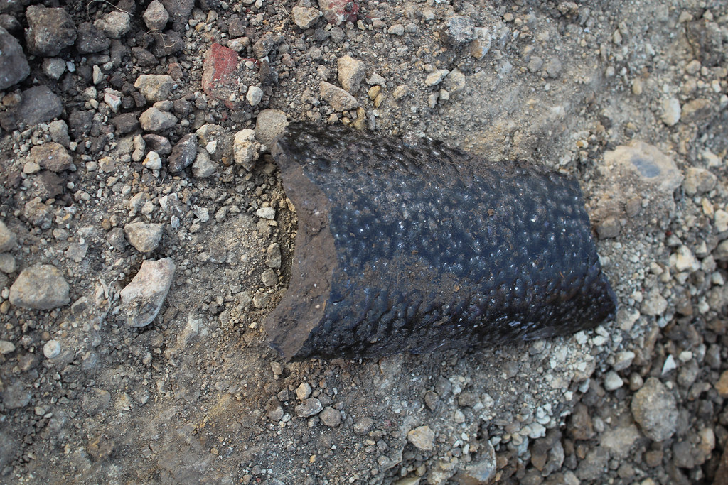
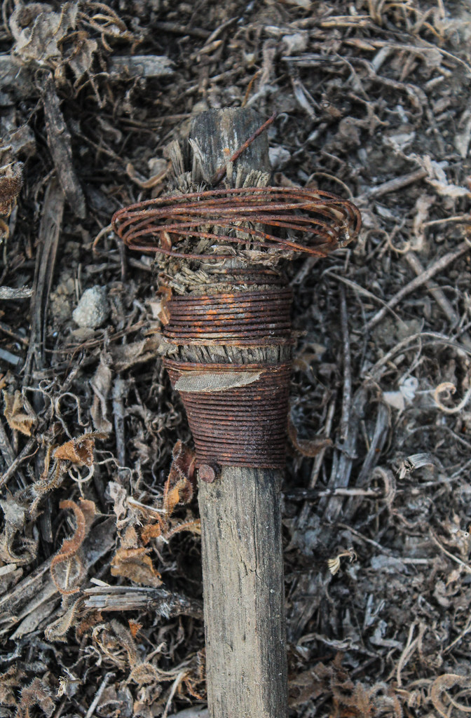
What the heck are these ^ v things?


I love how these things can be so mundane and yet so damn intriguing.


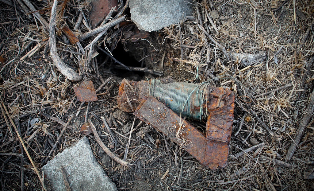
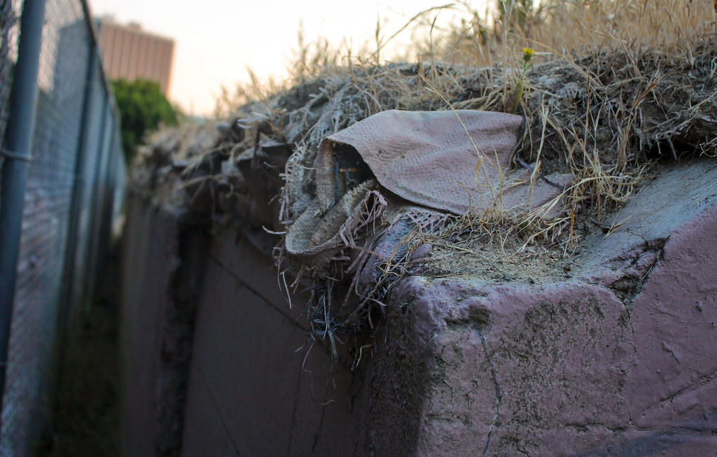
What on earth is this?

Back down the stairs one last time...adios, amigo.

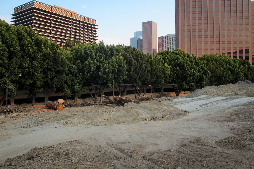
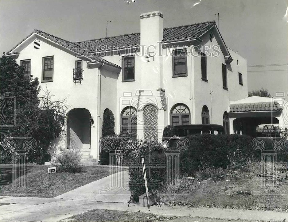
From the outside:
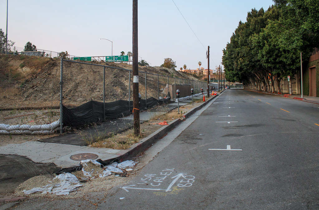

And one of the lot on the other side of Temple, also part of the redevelopment:


 Prev
Prev


 GSV
GSV


 I didn't see your post on the previous page until now GW. Thanks for finding that old newspaper article on the stolen dynamite.
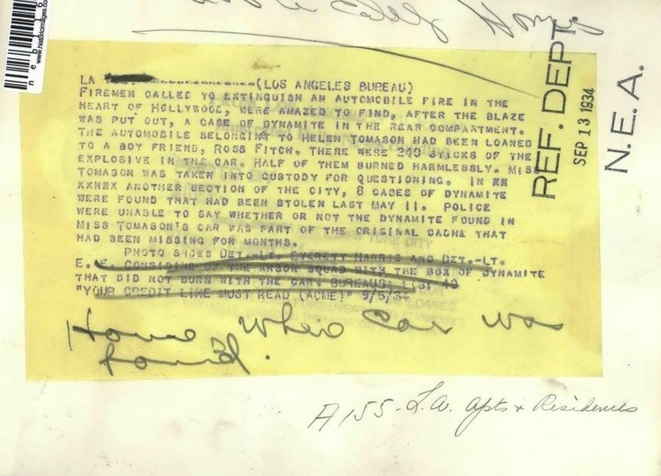


 GSV
GSV


 Linear Mode
