^ Link doesn't work.
Quote:
Originally Posted by feepa

ue, transit shouldn't be looping through these neighbourhoods. They should be using the arterial roads and people should be expected to walk more than 400 m to the nearest transit stop. The problem isn't neighbourhood design, it's transit policy. Buses in the area should stick to 34 ave, 34 street, 17 street, and use direct paths to transit centers... maybe then people would actual consider transit as an alternative. Instead, we have stupid bus routes that wander nearly aimlessly through every nook and cranny of various neighbourhoods, taking 30-45 minutes just to get to the transit center where one then has to catch another bus to get to the node they are trying to get it. No wonder people drive in this city.
the walking paths are much more direct, and the roads less direct which discourages vehicles from cutting through while still providing decent walking links.
I'm not sure what's wrong with your picture. A low use residential road with sidewalks on both sides.
Let's look back downtown\central - most people still drive to get their week+ of groceries. Why? Because nobody wants to haul that much groceries on foot. I get that some people go grocery shopping daily. Great. You are the exception.
|
I agree and disagree with this.
I agree that ETS should not have to service these winding residential and do "milk run" bus routes. It's an inefficient waste of everybody's time. As much as I like the idea of everybody being within walking distance of public transit in theory, we have to be realistic and look at the consequences of our decision to build such abhorrent road patterns makes it unrealistic to service all areas without redesign. I do hope we move away from this system for the time being and focus on more direct routes and routes that are in higher usage.
I think we need to look at creating a system in new neighbourhoods akin to what existed in the streetcar suburb era. During this time, you basically couldn't build neighbourhoods without access to public transport and were built specifically around access to public transport. The streets were laid out in a way to best accommodate transit users getting to and from home to work, school, or other amenities. With this came pedestrian friendly high streets and shorter blocks radiating from the high streets the streetcar ran through. Eg. blocks are wider east-west, but shorter north-south in Old Strathcona to make for more connections to residents getting off the streetcar on Whyte Ave (in part).
This system is similar to what you're proposing, by in the case of the Silver Berry neighbourhood, having buses run along arterial thoroughfares. I agree with this conceptually as like I said, it's similar to the system of the streetcar suburb era. There's only one main problem with it, in practice. Compared to streetcar suburbs, the arterials are along the edges of communities, spaced further apart from one another, which would render transit peripheral, rather than central, to Silver Berry. The main way to fix this is through complete, New Urbanist style neighbourhoods.
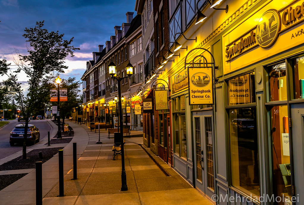
Looking specifically at Silver Berry, I see a relatively easy solution to the problem. There is a north-south multiuse trail that runs dead centre through the community and extends to older neighbourhoods northward until the Whitemud. My thought is that this space could be converted into a complete street, with small businesses and mixed use development a la Towne Centre Blvd in Terwillegar or Garrison Gate at Garrison Woods in Calgary, that runs straight through the middle of the community and continues north, connecting with 38 Ave and south with 23 Ave. Doing this would accomplish both of our goals. It would create an efficient, direct bus route for making transit viable, in addition to it being dead centre in the community, thus making it accessible to the largest sum of people. The ancillary benefits of having it be a complete street, thus making it safe for cyclists and pedestrians as well, and having neighbourhood shops would make the entire community complete as well.
The problem with the street view I linked is mainly that the street is clearly the domain of the automobile and that any other means of transport is given the impression of being second rate. Edmonton does an excellent job at ensuring public sidewalks exist in most new greenfield development, but sidewalks by themselves are only the first step towards a pedestrian friendly environment (albeit the biggest). There are two things I can immediately think of to improve that street, and they are creating a buffer between the sidewalk and the street like a patch of grass (like many of our mature communities have, as well as some newer ones) and to remove the front car garages. Not only do they create a sterile, utilitarian environment lacking in community, the sheer number of driveways cutting across sidewalks makes the endeavour of going for a stroll a very cautious one.


 Prev
Prev


 Linear Mode
