Quote:
Originally Posted by odinthor

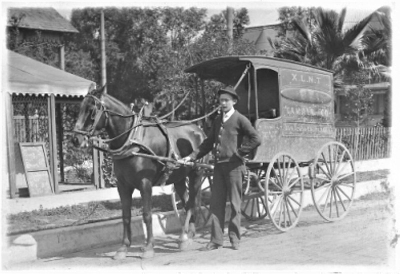
Tamale vendors came to have their detractors:
 Los Angeles Times
, July 25, 1906, via ProQuest via CSULB Library.
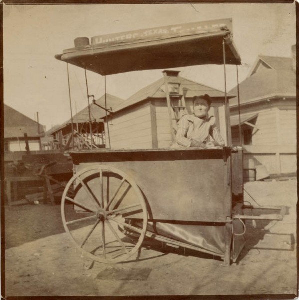
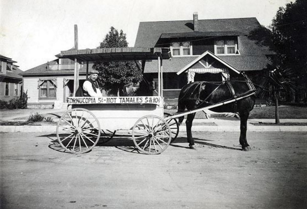
About the "Cornucopia," could it be a tamale filled with . . . corn? |
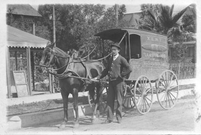
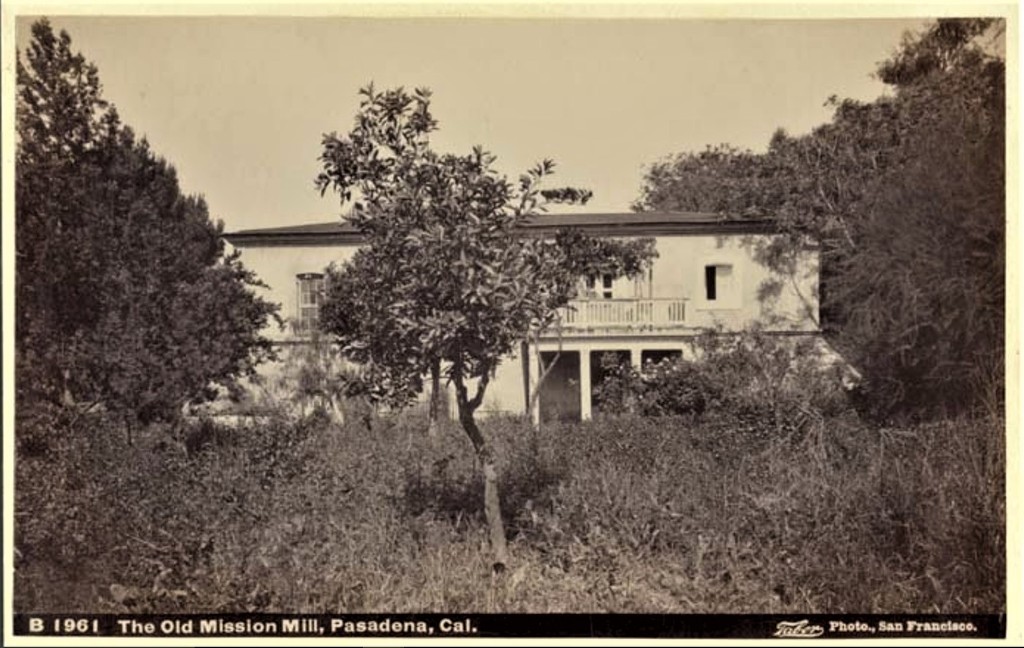
A pioneer tamale man, from From p.392, [1869] Newmark, Sixty Years in Southern California [1869]
"Who was more familiar both to the youth of the town and to grown-ups than Nicolas Martinez, in summer the purveyor of cooling ice cream, in winter the vender of hot tamales! From morning till night, month in and month out during the sixties and seventies, Martinez paced the streets, his dark skin made still swarthier in contrast to his white costume a shirt, scarcely tidy, together with pantaloons none too symmetrical and hanging down in generous folds at the waist. On his head, in true native fashion, he balanced in a small hooped tub what he had for sale; he spoke with a pronounced Latin accent, and his favorite method of announcing his presence was to bawl out his wares. The same receptacle, resting upon a round board with an opening to ease the load and covered with a bunch of cloths, served both to keep the tamales hot and the ice cream cool ; while to dispense the latter, he carried in one hand a circular iron tray, in which were holes to accommodate three or four glasses. Further, for the convenience of the exacting youth of the town, he added a spoon to each cream-filled glass ; and what stray speck of the ice was left on the spoon after the youngster had given it a parting lick, Nicolas, bawling anew to attract the next customer, fastidiously removed with his tobacco-stained fingers."


 Prev
Prev


 Interesting information OS.


 Close but no Cigar.
 Linear Mode
