metro area of Porto Alegre seen from Dois Irmãos Hills (just north of Novo Hamburgo) and from "Embratel" Hill. In some of the pictures, we can see Porto Alegre, 45km away (from Dois Irmãos Hills) and some 55km away (from Embratel Hill). These pics were taken BY ME, with the help of a binocular.
1-a few Novo Hamburgo buildings (the city is to the right of the pic) in the foreground... São Leopoldo at center... at the distance, to the left, you can barely see some white of Porto Alegre buildings

2 - São Leopoldo, some 15km away, and in the background, some buildings from Esteio and Sapucaia cities. In the foreground a poor neighborhood and a favela between Novo Hamburgo and São Leopoldo.

3 - southern side of São Leopoldo and UNISINOS university at foreground... Canoas (30km away) at the middle, and PORTO ALEGRE downtown in the background, 45km away

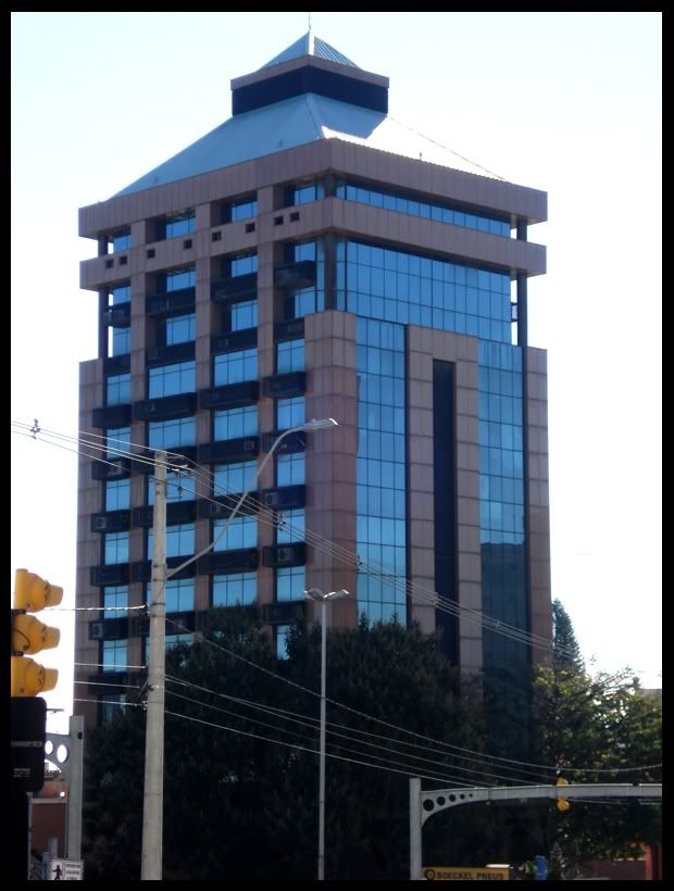
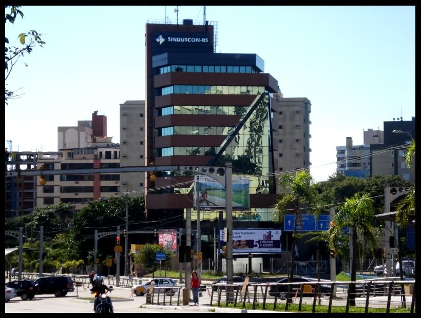
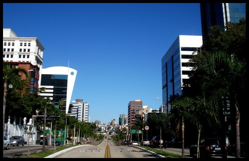
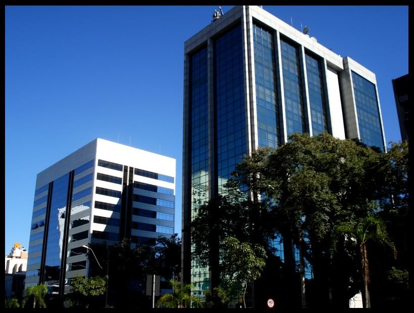
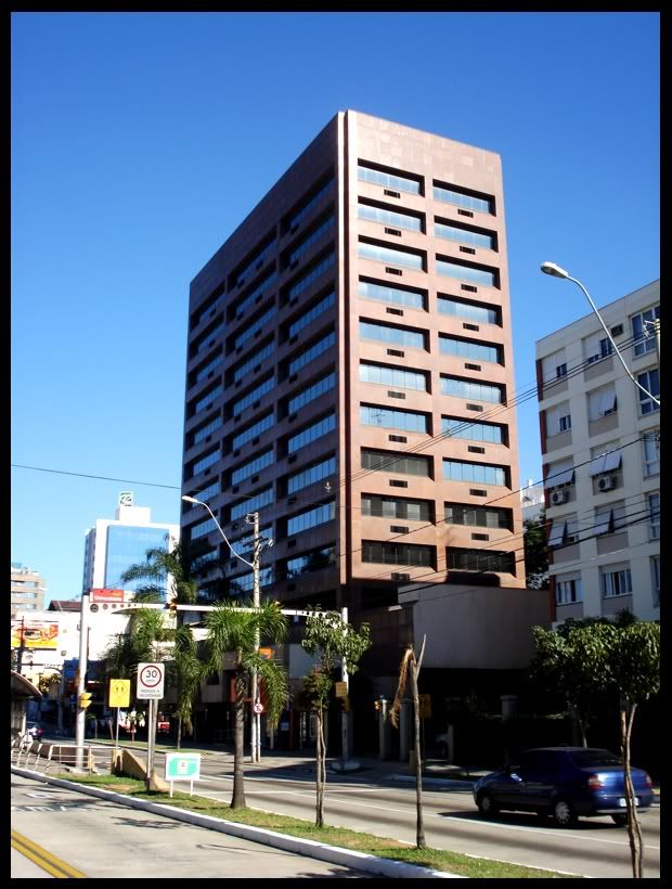
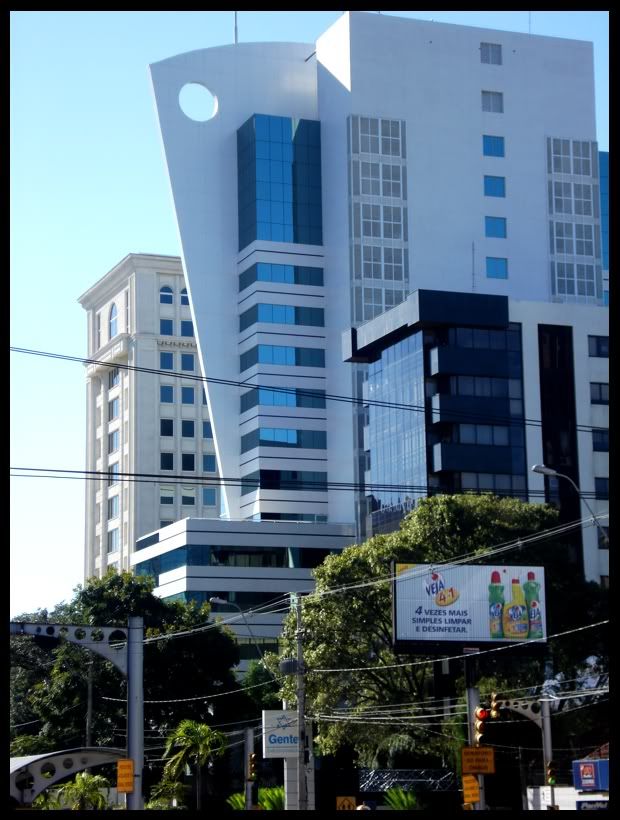
4 - Porto Alegre at the background. That is the skyline of Bela Vista and Moinhos de Vento neighborhoods I think. Maybe a but of 3rd Perimetral in the left? Maybe.

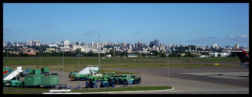
5 - 45km of Porto Alegre metro area in a single photo

6 - Another São Leopoldo shot. The salmon building at the bottom is Novo Hamburgo´s City Hall

7 - looking at another direction, the small city of Campo Bom, which is conurbed with Novo Hamburgo

8 - without the binocle

9 - GoogleEarth map of the metro area of Porto Alegre. I circled the downtowns (not exactly) of the major cities (excluding Esteio and Sapucaia), and also Unisinos. The blue lines are the two major roads, BR116 and BR290. The yellow line is the line of sight, from the north point (where I took the pics) to Porto Alegre downtown in the south.

10 - these pics were taken from 55km distance, from "Embratel" Hill, at Morro Reuter town. I artifically colorized them in Photoshop, because of the atmospheric haze.

11 - in this pic you can see a bit more of Novo Hamburgo (but not all skyline)

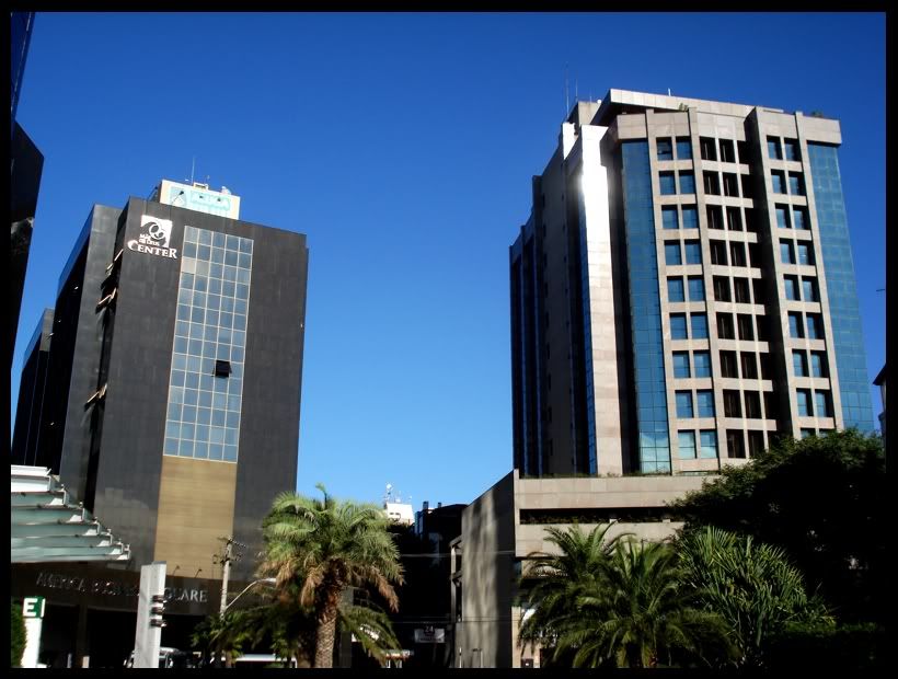
12

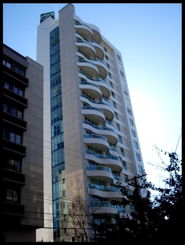
13

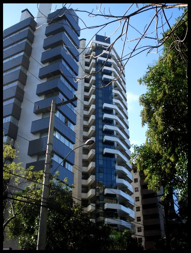
14


 rool:
rool:


 Linear Mode
