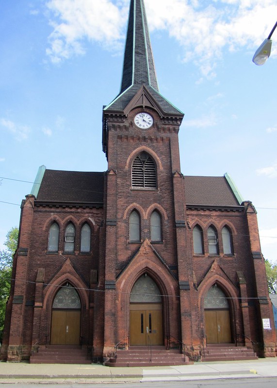
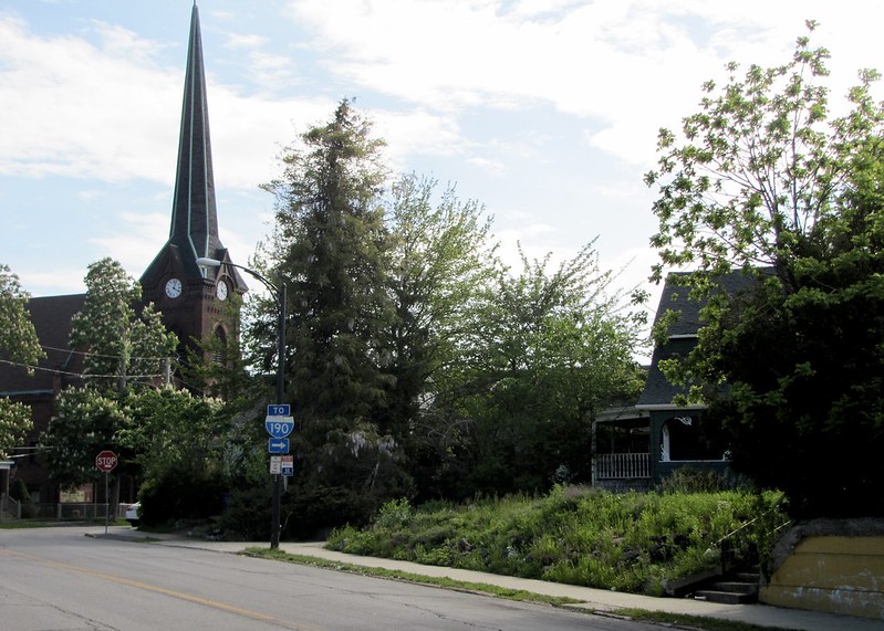
Black Rock is a neighborhood in the northwestern section of Buffalo, as was formerly part of the Town of Black Rock, a losing rival of Buffalo for the Erie Canal terminus, that was absorbed by the City of Buffalo in 1853. The neighborhood is much smaller than its namesake town, but is within the area of the former shipyards at the mouth of Scajaquada Creek, dating to at least the 1700s, and the heavy industries which formed along the creek in the early 1800s.
The area was and is still primarily working class, and has some of the oldest existing housing in Buffalo, which along with Black Rock was burned in the War of 1812. The area is also filled with churches built by waves of immigrants since the 1830s, and which continue to arrive today with significant Burmese and African arrivals this century. Many of the former industries, however, no longer exist, and there are many vacant factories and land area, although in just the last 5 years a significant number have been converted to other uses and more are on the way. Despite being a poorer area, the population has been increasing and development from the wealthier Elmwood area and Buffalo State College has given the Grant-Amherst area of Black Rock a "hipster" reputation.

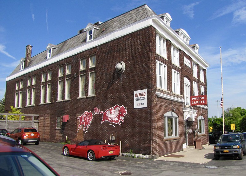
IMG_1056 by
bpawlik, on Flickr
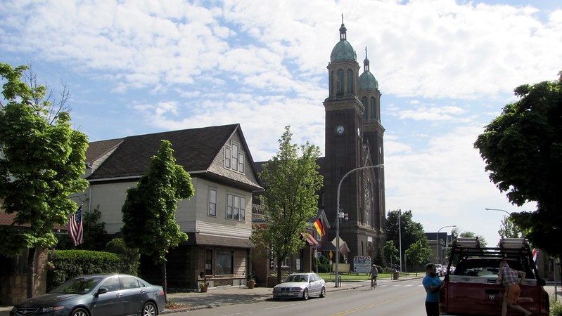
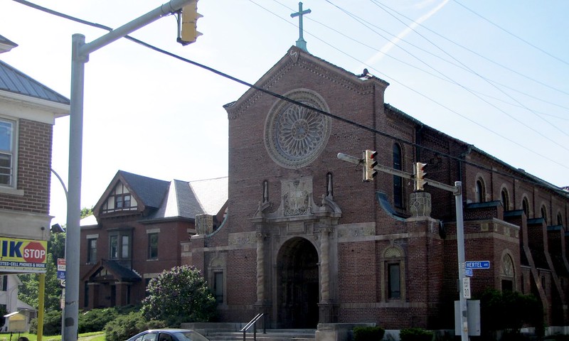
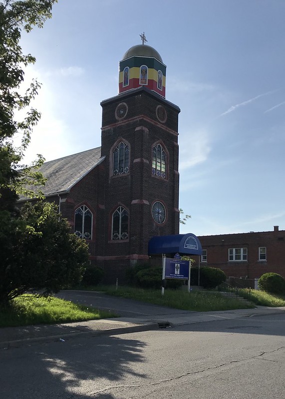
Assumption Church was the center of the Black Rock Polish community.
IMG_1039 by
bpawlik, on Flickr
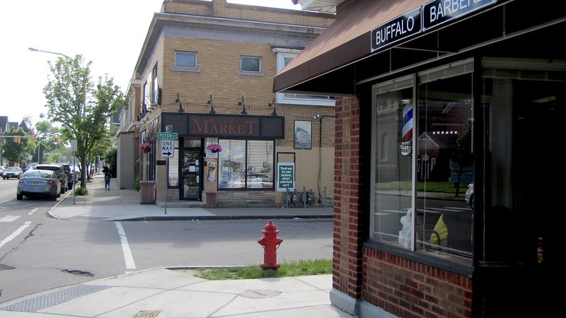
Amherst Street - the market is the longest continuing operating market in the city.
IMG_1042 by
bpawlik, on Flickr
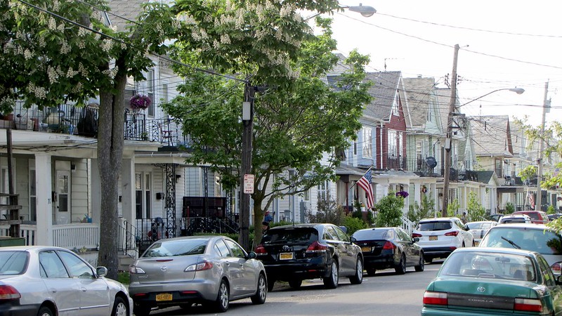
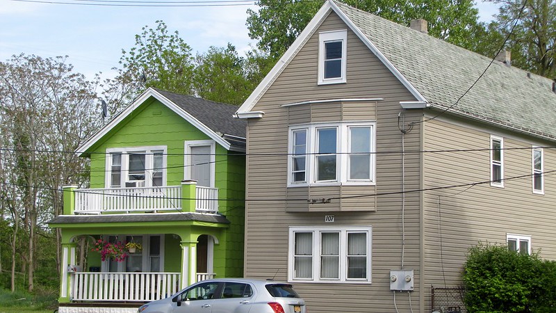
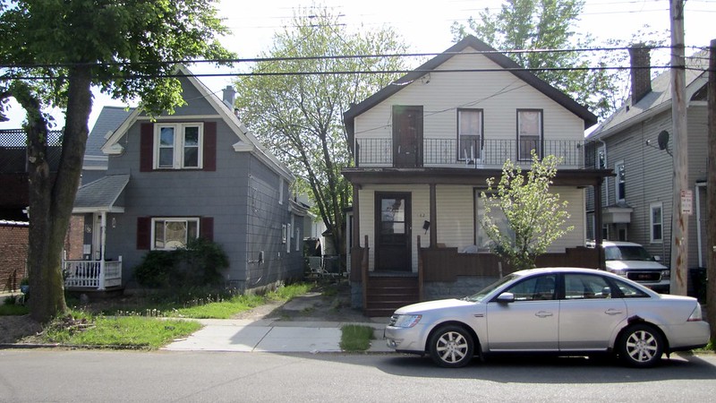
Neighborhood homes near Amherst Street, dating back to at least the 1880s.
IMG_1045 by
bpawlik, on Flickr
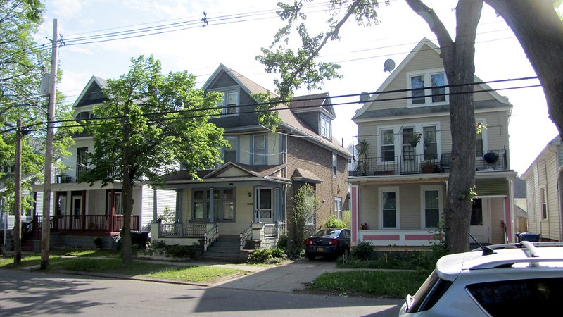
The area maintains an "old neighborhood" feel today.
IMG_1047 by
bpawlik, on Flickr
IMG_1052 by
bpawlik, on Flickr
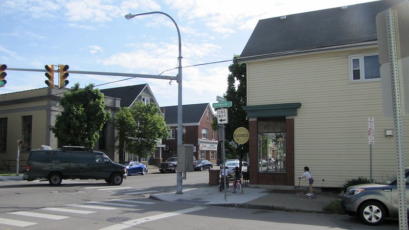
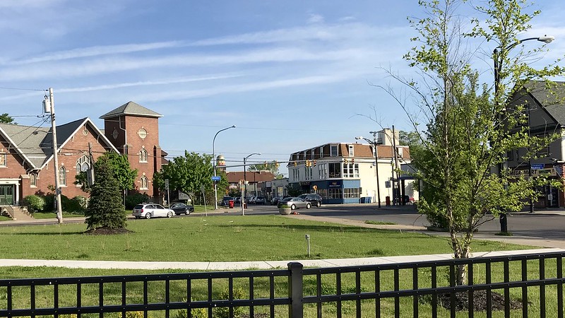
The corner of Grant and Amherst Street, which has been re-developing as a commercial destination after several decades of neglect.

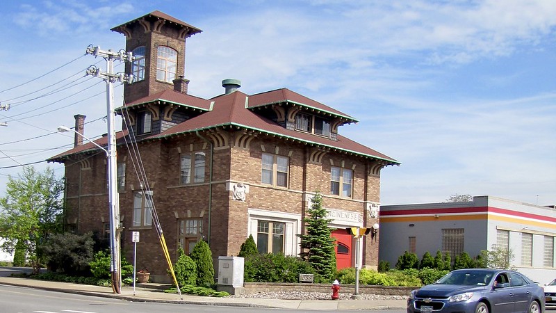
IMG_1053 by
bpawlik, on Flickr
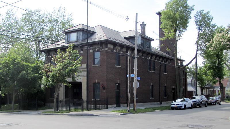
The first fire station in Buffalo built for a gasoline powered fire engine, now converted to a private residence.
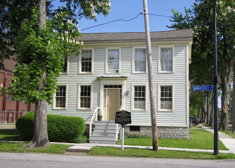
IMG_1038 by
bpawlik, on Flickr
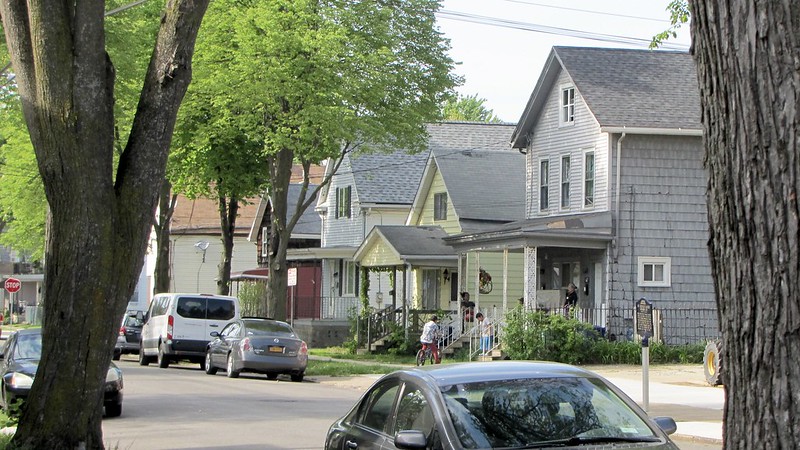
One of the oldest homes in Buffalo, built around 1830, used as a residence today. The following photos are in the same area, near the location of the former Black Rock Market Square at Niagara Street, which now only exists as a small park.
IMG_1058 by
bpawlik, on Flickr
IMG_1061 by
bpawlik, on Flickr
IMG_1063 by
bpawlik, on Flickr

IMG_1064 by
bpawlik, on Flickr

IMG_1066 by
bpawlik, on Flickr
IMG_1067 by
bpawlik, on Flickr

IMG_1068 by
bpawlik, on Flickr
IMG_1069 by
bpawlik, on Flickr

IMG_1070 by
bpawlik, on Flickr
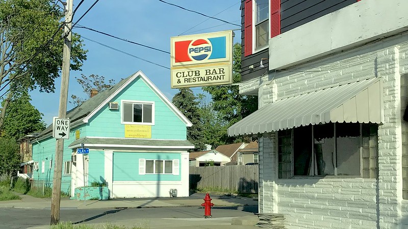
Unlike most of Buffalo, many homes in Black Rock were built without basements, and were often referred to as "cottages" by old-time residents. Some homes were also built two-deep on the narrow lots. Houses in this area show build dates in city records as early as 1824, just 11 years after the town was burned by the British.
IMG_1071 by
bpawlik, on Flickr
IMG_1073 by
bpawlik, on Flickr

IMG_1074 by
bpawlik, on Flickr
IMG_1075 by
bpawlik, on Flickr
IMG_1080 by
bpawlik, on Flickr
Grant and Military Road, which was built to connect American Fort Niagara with Black Rock in order to avoid the British portage route along the Niagara. The following photos are also near this intersection, which has kept its business structures intact, including the former Unity Theater.

IMG_1309 by
bpawlik, on Flickr
IMG_1308 by
bpawlik, on Flickr
The Burmese community has blended in with previous residents of the area.
IMG_1307 by
bpawlik, on Flickr
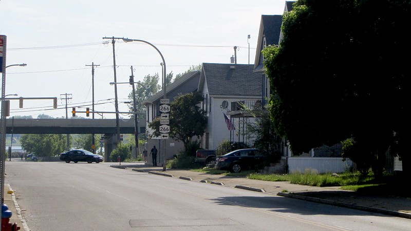
The corner of Tonawanda and Ontario Streets, where Black Rock meets the Riverside neighborhood.
IMG_1301 by
bpawlik, on Flickr
IMG_1299 by
bpawlik, on Flickr
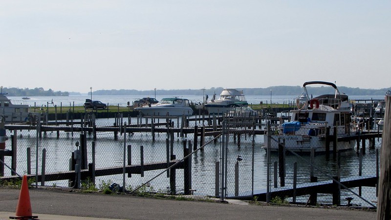
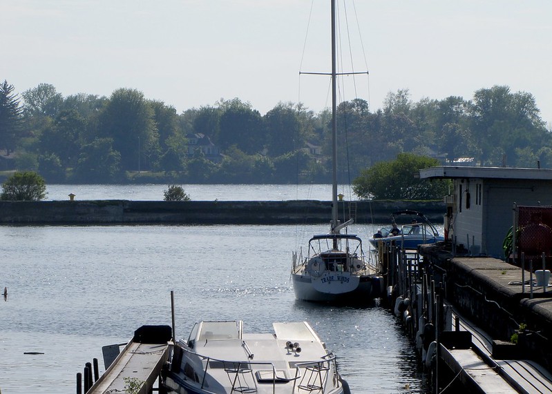
Adjacent to Black Rock, there are recreational harbors near the entrance to the Black Rock Lock, which is part of the Black Rock Canal that runs parallel to the Niagara River along the Erie Canal path.
IMG_1081 by
bpawlik, on Flickr
IMG_1083 by
bpawlik, on Flickr
IMG_1085 by
bpawlik, on Flickr
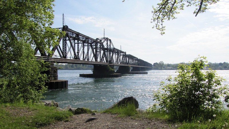
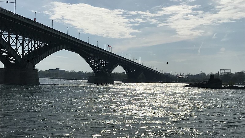
Across the Black Rock Canal lies Unity Island, a former waste dump now cleaned and converted to a well-used park by the local community. The International Railway Bridge crosses from Black Rock to Canada, and was built in 1873. Black Rock once had an extensive railroad yard, and much of it lies vacant today and held in private hands by speculators.
IMG_1090 by
bpawlik, on Flickr
The Black Rock Canal continues for about 7 km where it enters the harbors of Buffalo. During the construction of the Erie Canal in the 1820s, the water in the current canal was blocked by "black rock" which gave the town its name, and also prevented ships from traveling as far as Lake Erie without entering the swift Niagara River current. Canal sponsors blew up the rock formation, and Black rock not only lost its namesake, it also lost the terminus to the canal, and eventually its independence as a separate city.
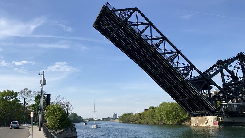
West Ferry lift bridge:
IMG_1291 by
bpawlik, on Flickr
Bird Island Pier separating the canal from the Niagara, with the Peace Bridge to Canada in the background.
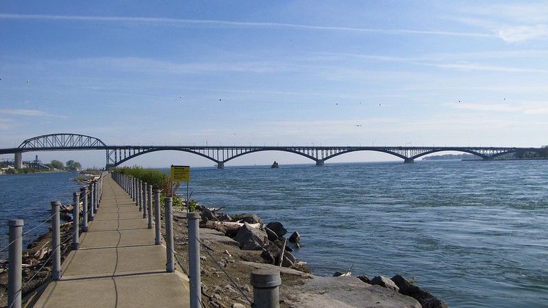
IMG_1103 by
bpawlik, on Flickr
View of Canada and the USA-Canada border
IMG_1270 by
bpawlik, on Flickr
The remains of the "black rock" alongside the Bird Island pier.

IMG_1109 by
bpawlik, on Flickr
end


 Threaded Mode