Some pics of Bon Echo on a camping trip from last May. Bon Echo is at the southern edge of the Canadian Shield about 2 hours southwest of Ottawa, 3 hours northeast of Toronto.
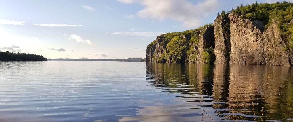
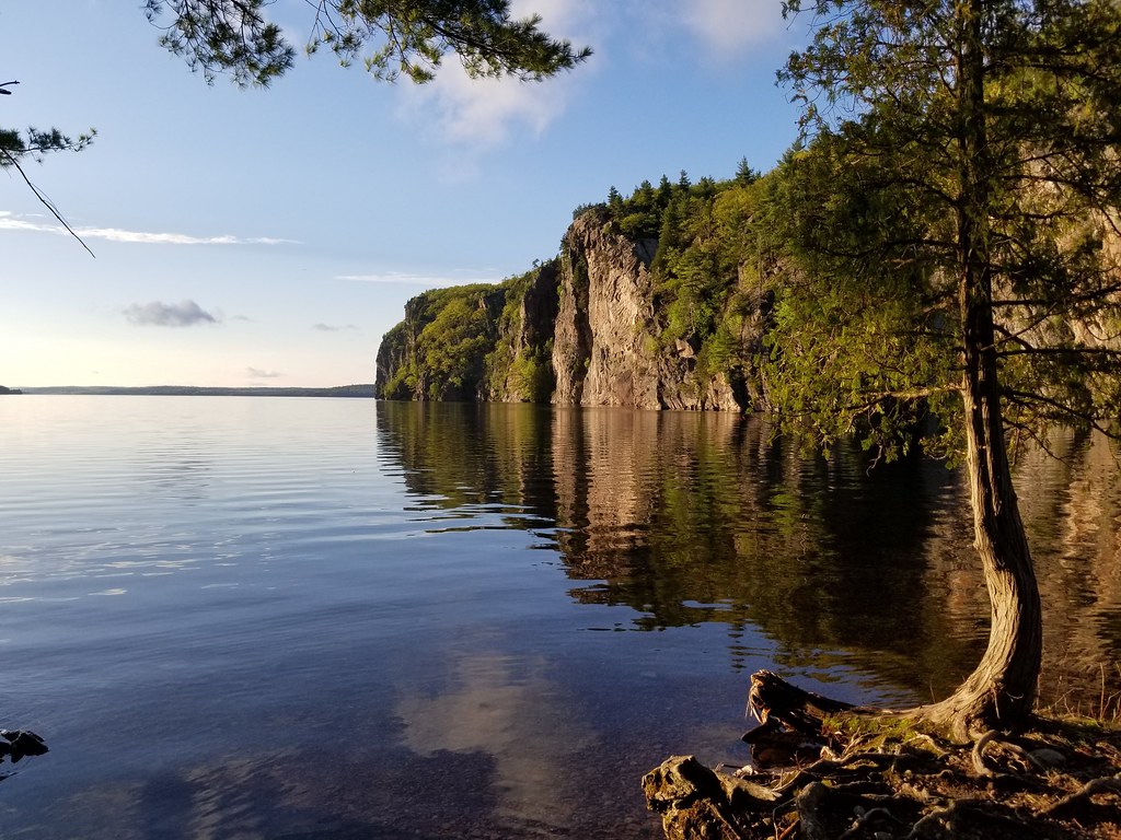
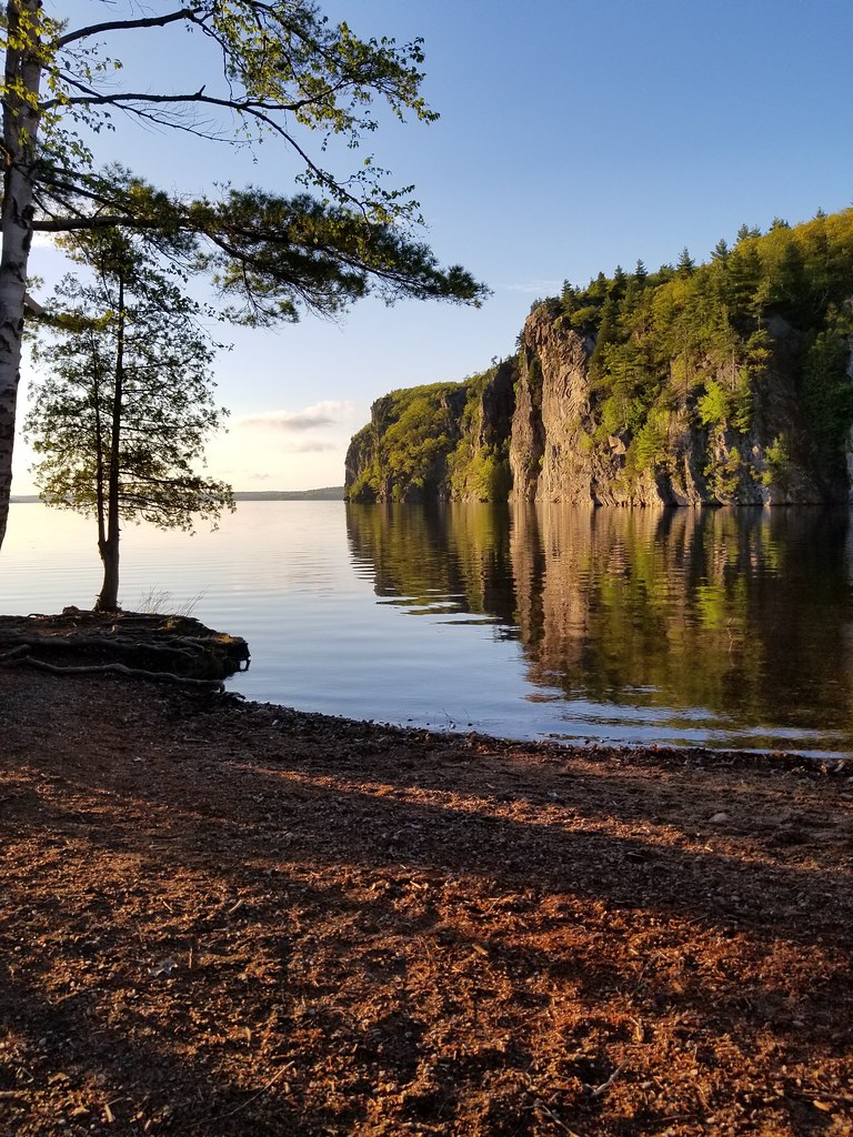
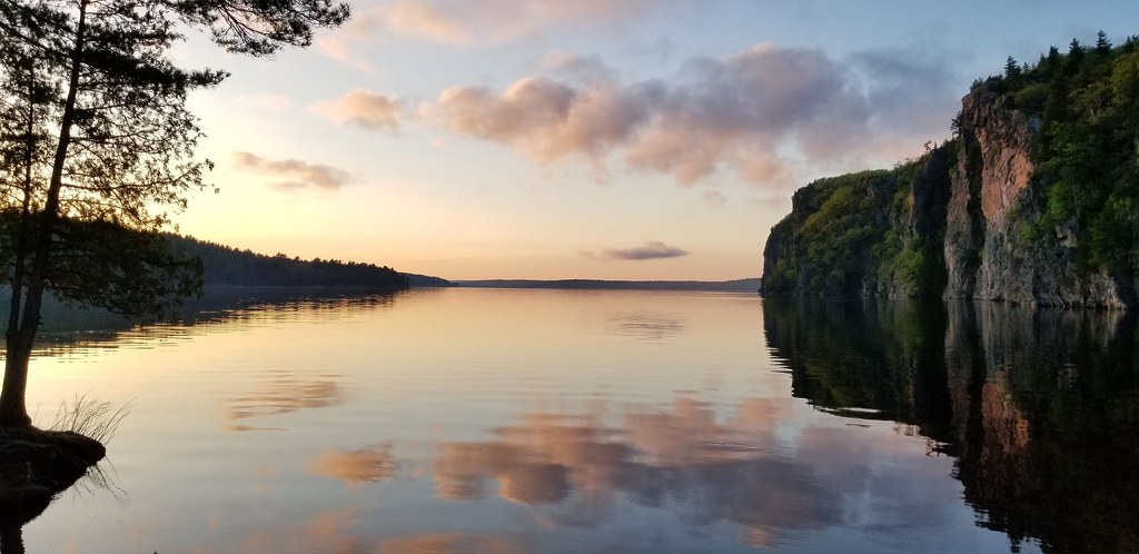
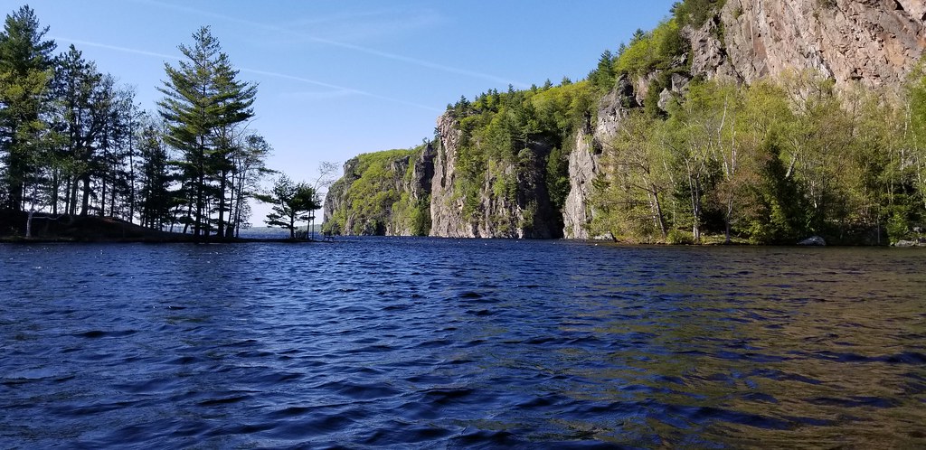
The standout of Bon Echo is Mazinaw Rock, which is a 330 ft cliff rising straight out of Lake Mazinaw.
Most of my pics are of Mazinaw Rock, here it is a various stages of sunset. This was a magical evening, we were the only ones there, everything dead still.


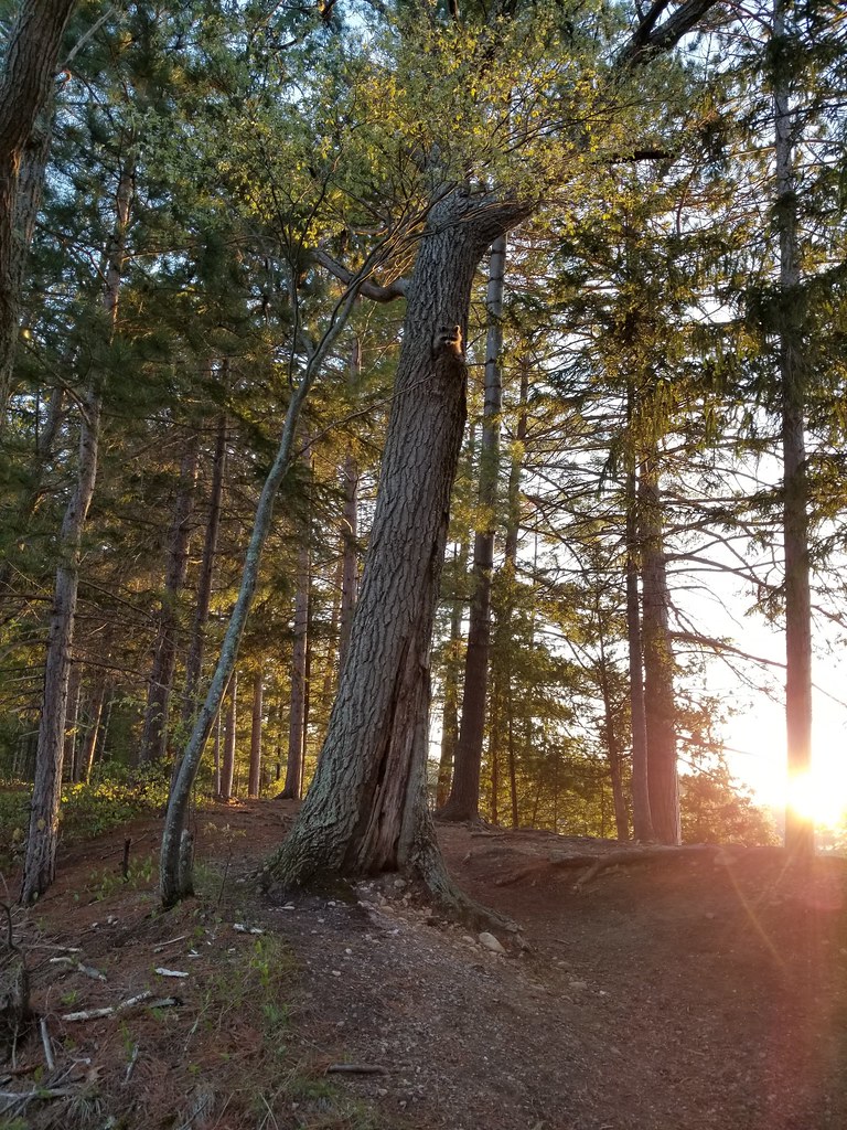
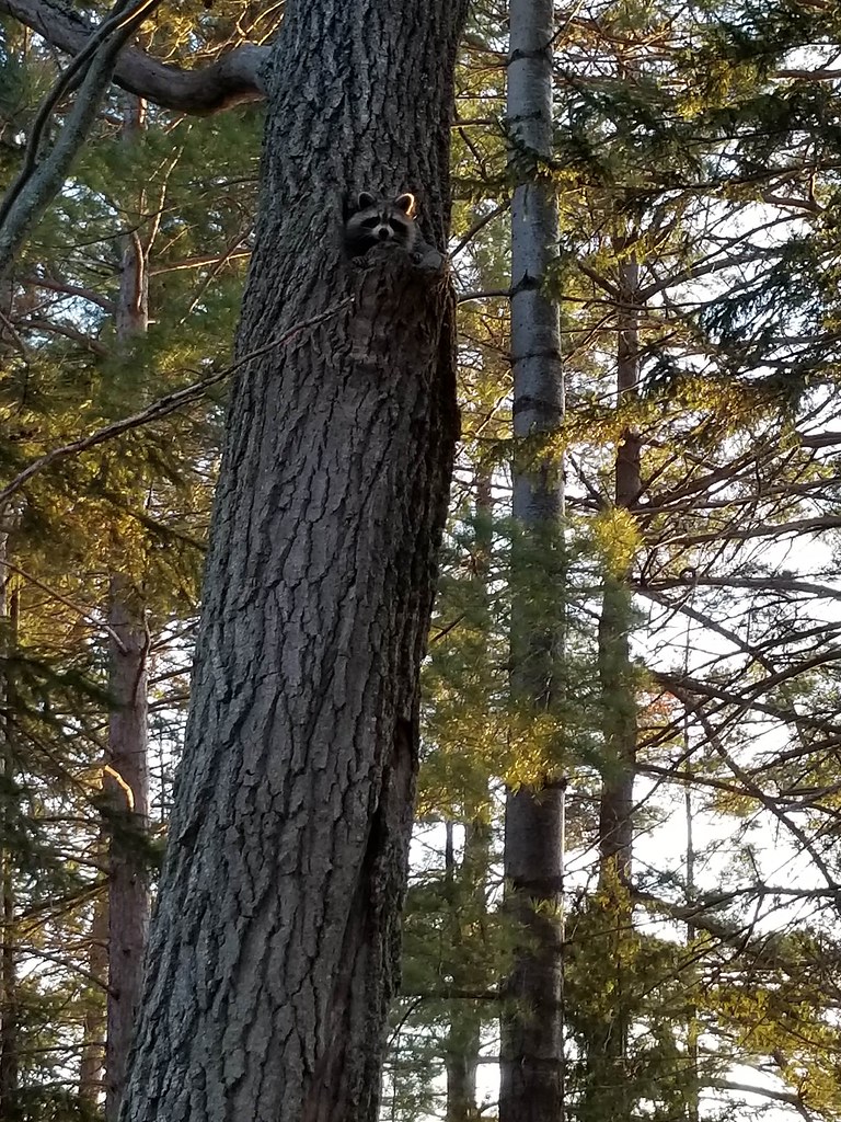
As if that wasn't enough this racoon came poking out of his tree crevice, ready for a night of raiding campsites
I didn't get many great pics beyond Mazinaw Rock, but this is the view from on top of it
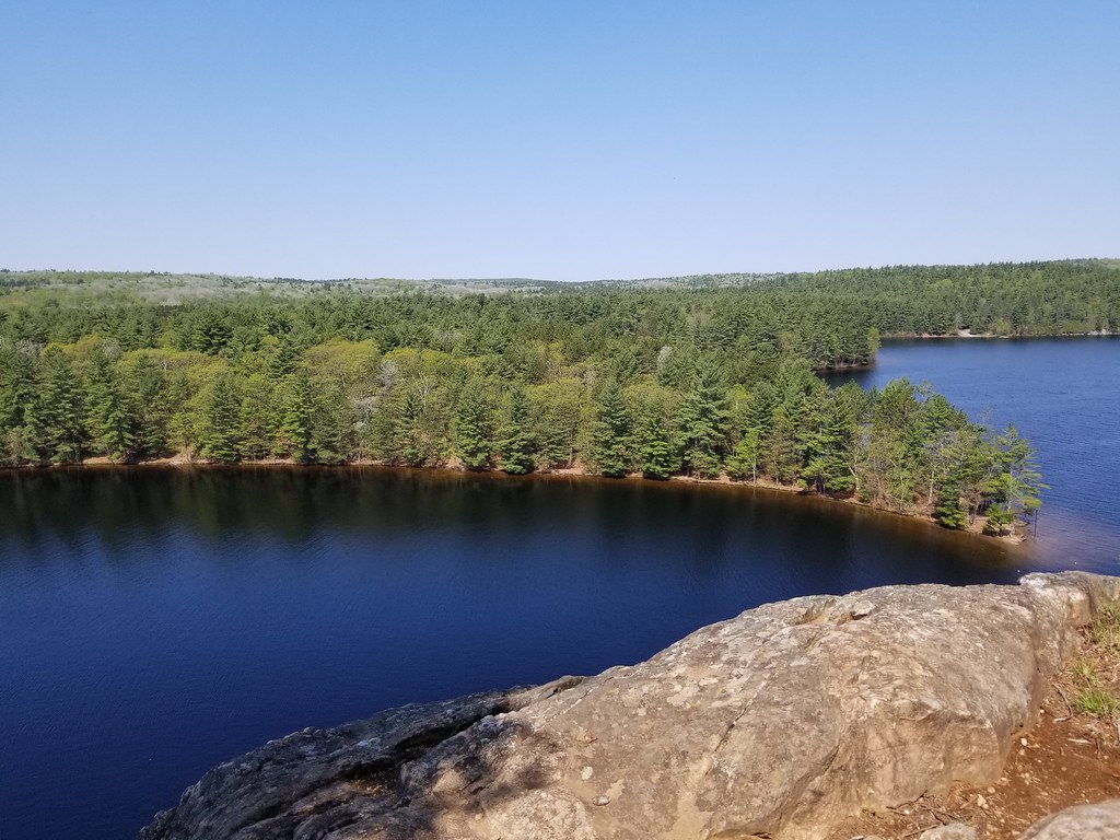

Lots of exposed granite (I think?)

To get up there you either have to hike around the whole lake or take a canoe across, we took a canoe
Anyways, great spot, one of the most picturesque places in Southern Ontario.


 Prev
Prev


 [/IMG]


 Linear Mode
