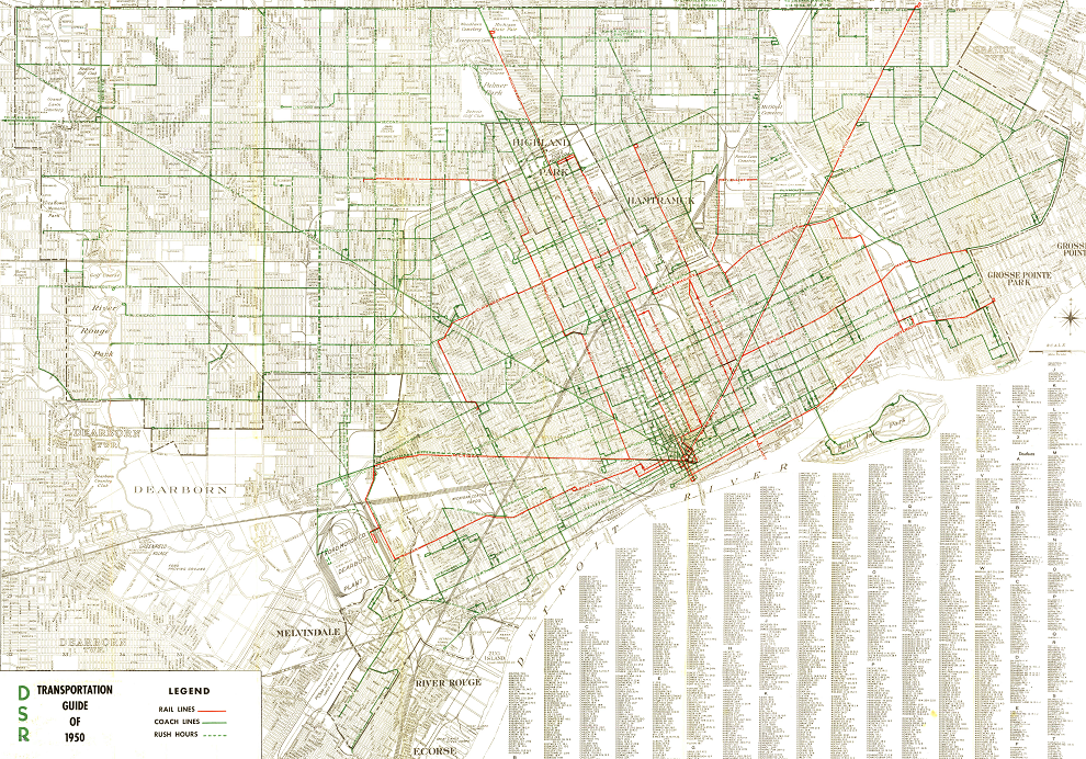
Most detailed map I've been able to find (streetcar lines in red), though unfortunately from 1950's when the last of the lines were well on their way out.
 Full size
A map from 1941, though a bit harder to make out:

I don't believe either of these show interurbans connecting the city and suburbs, which may have already been out by then.
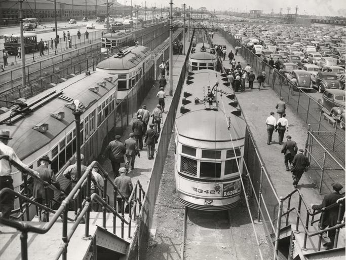
Seems like even if the city was decided buses were the future that they'd have been better off keeping the streetcar lines on the main spokes leaving cross-town and secondary routes to buses. BTW, interesting shot of some autoworkers on their way home from the plant. For a long time, the two modes weren't seen as incompatible with one another.
 Burton Historical Collection, Detroit Public Library
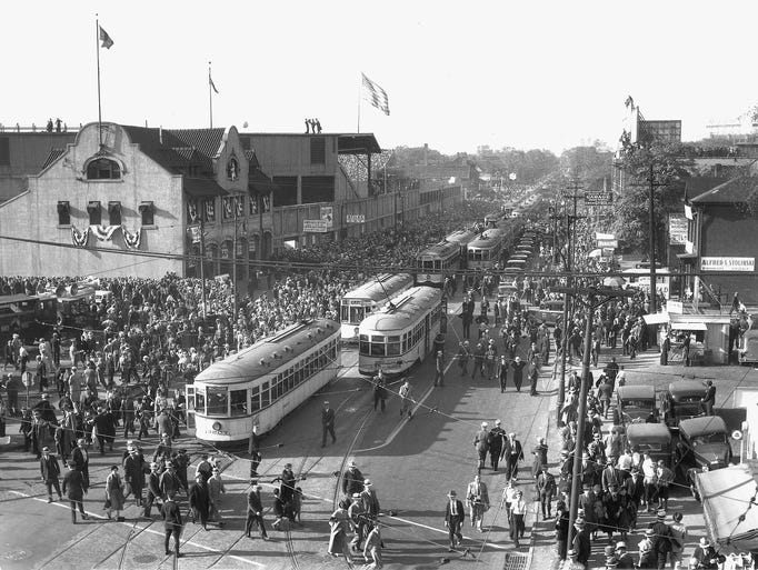
1934 for Tiger Stadium moving fans around:
 The Detroit News archives
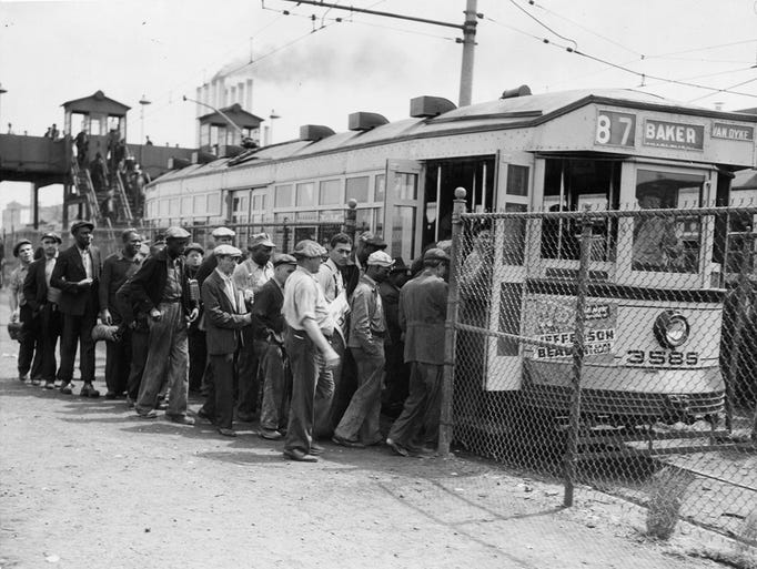
Another from an auto plant in 1930:
 Burton Historical Collection, Detroit Public Library
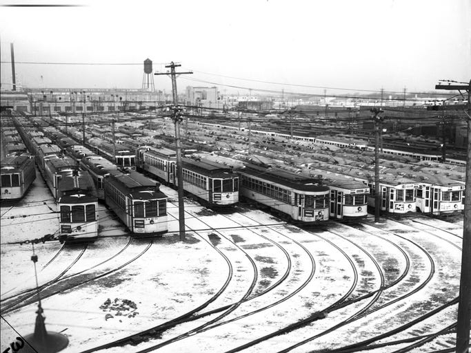
Massive DSR carhouse up in Highland Park in 1934:
 The Detroit News archives
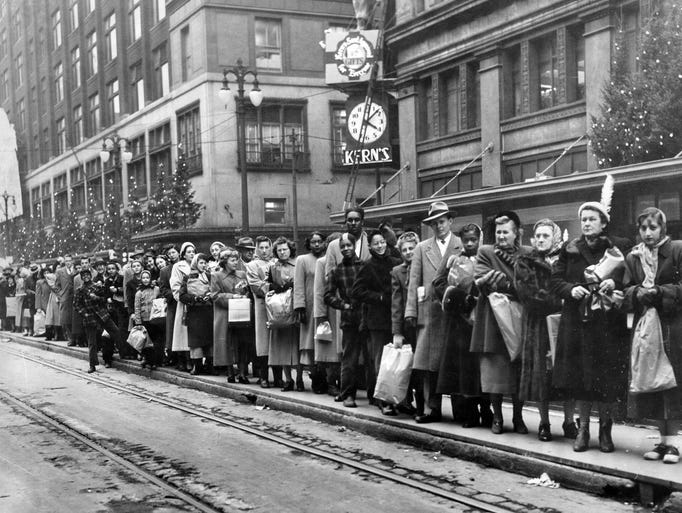
Holiday shoppers in 1949 down outside Hudson's and Kern's:
 The Detroit News archives


 Prev
Prev


 blogspot.com


 davidrumsey.com


 Linear Mode
