ALMA & FUNDY NATIONAL PARK, NEW BRUNSWICK, CANADA
Alma is a small fishing village in southern New Brunswick, Canada located on the upper reaches of the Bay of Fundy at the mouth of the Upper Salmon River. The village is located about 80 km south on the city of Moncton and lies at the entrance to Fundy National Park. The full time population of the community is about 250, but rises considerably in the summertime.
The main fishery is lobster and scallops. The economy of the village however is considerably supplemented by the adjacent national park. Many of the national park employees live in the community and the tourist trade gives Alma a vibe not usually seen in small fishing communities.
The village was founded in the 1850's and is named for the Battle of Alma in the Crimean War. The first female master mariner and licensed commercial sea captain in North America was from Alma. She got her papers way back in 1939, which was quite an accomplishment for the time. She had a great name which suited her perfectly -
Captain Molly Kool.
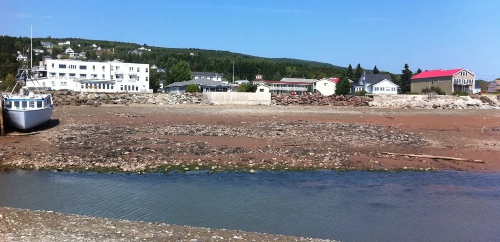
The village as seen from the mouth of the Little Salmon River.
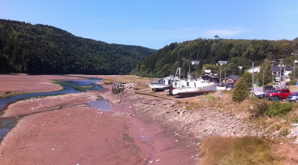
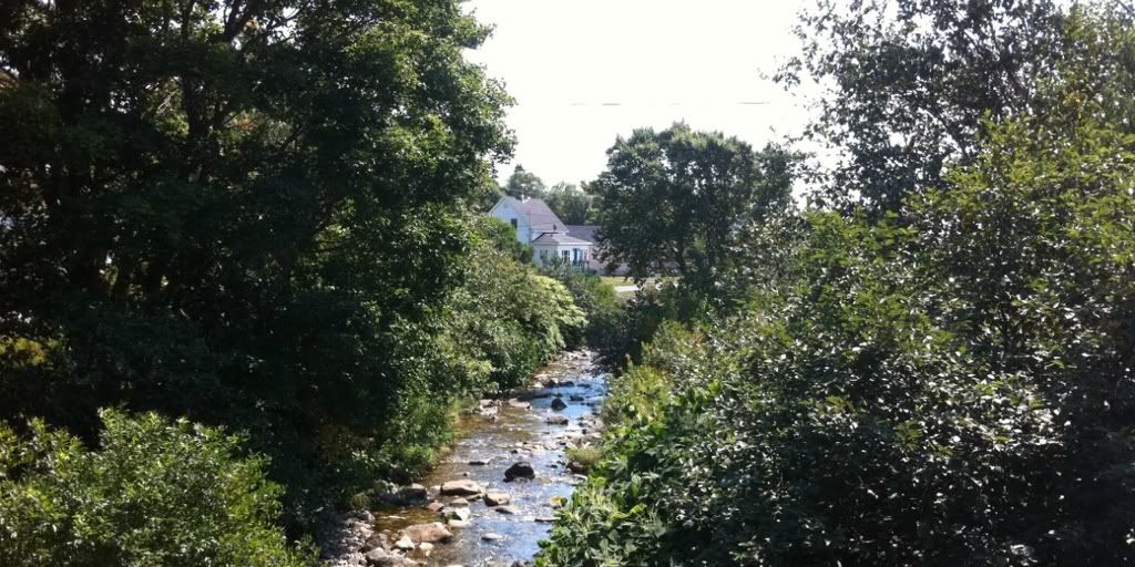
Looking up the Little Salmon River towards the Caledonia Highlands.
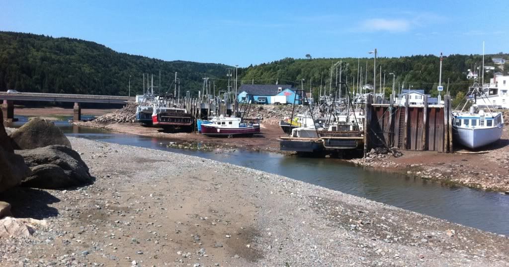
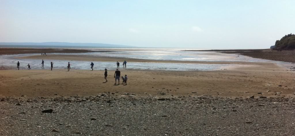
Fishing boats resting on the seafloor. The Bay of Fundy has the highest tidal range in the world, nearly 60 feet in the Minas Basin.
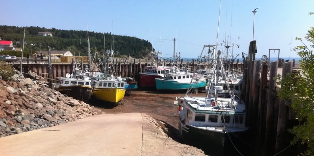
More fishing boats at rest. At high tide, they are level with the dock.
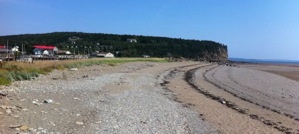
Beach in front of Alma.
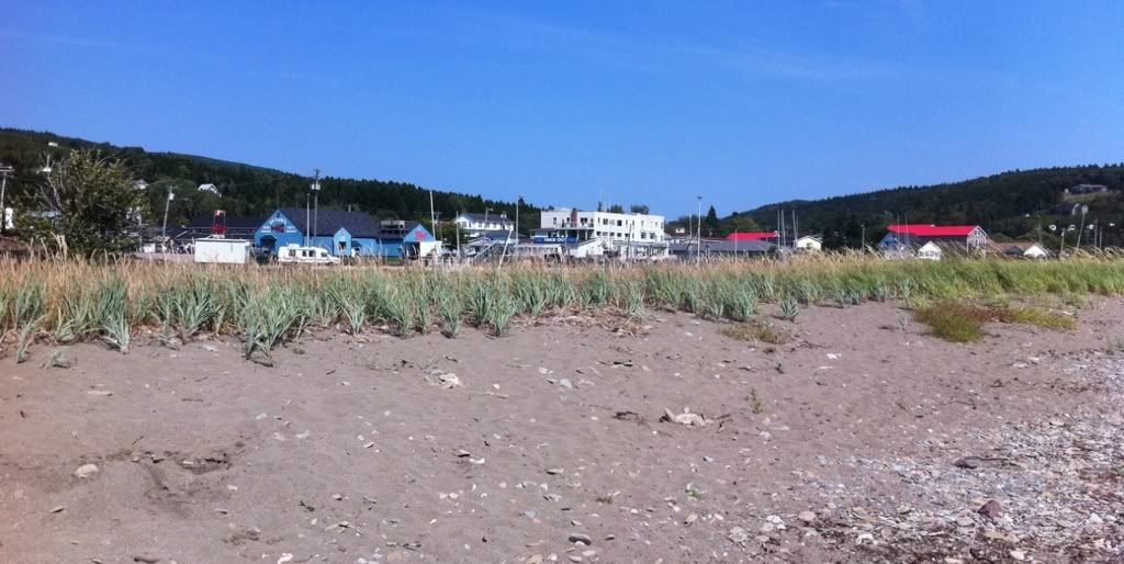
Beach again.
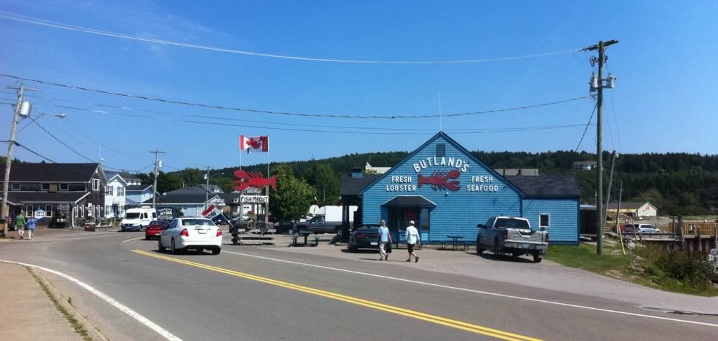
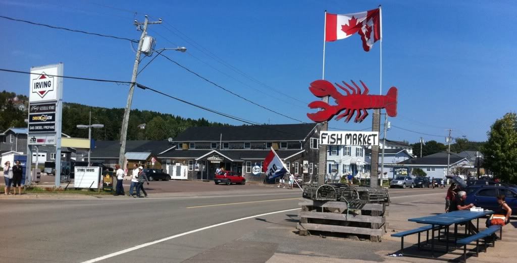
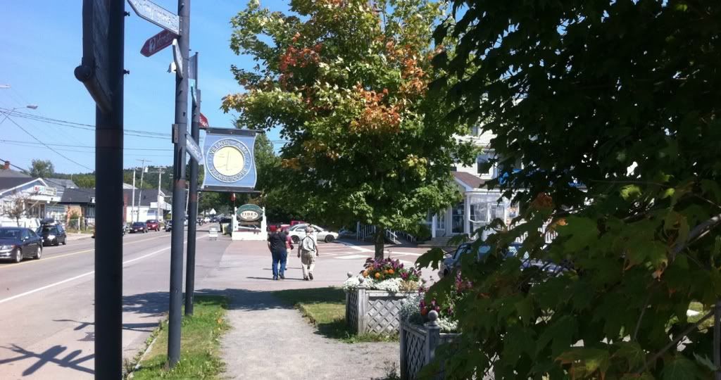
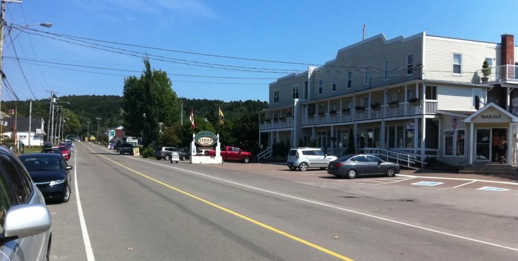
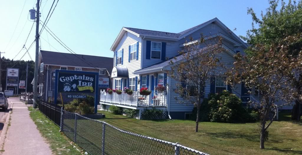
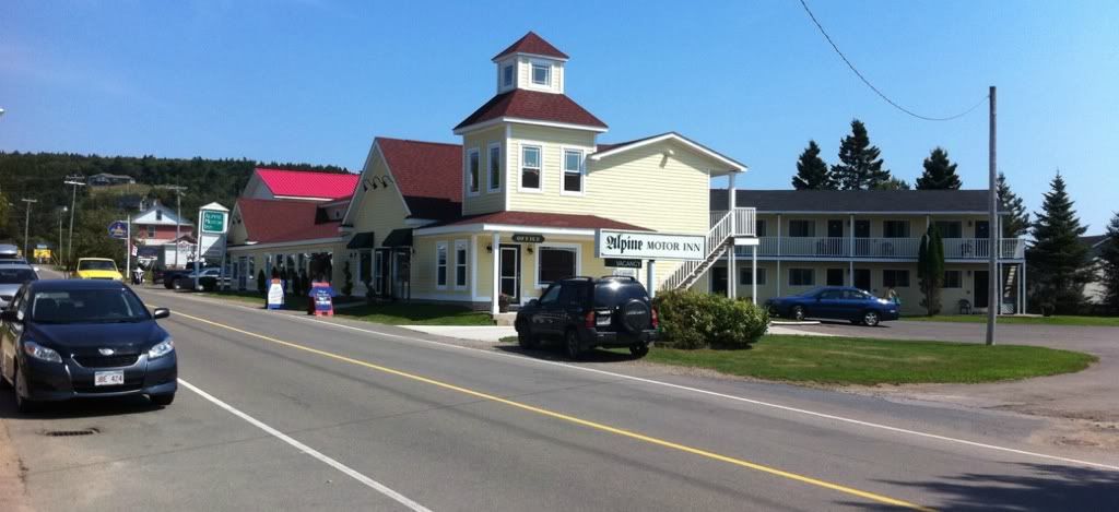
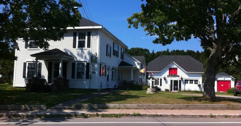
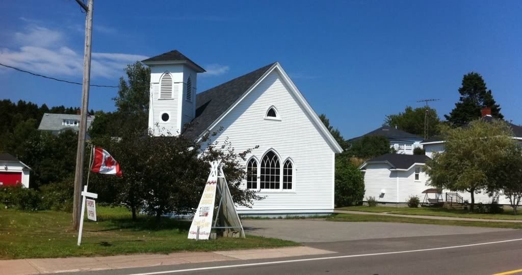
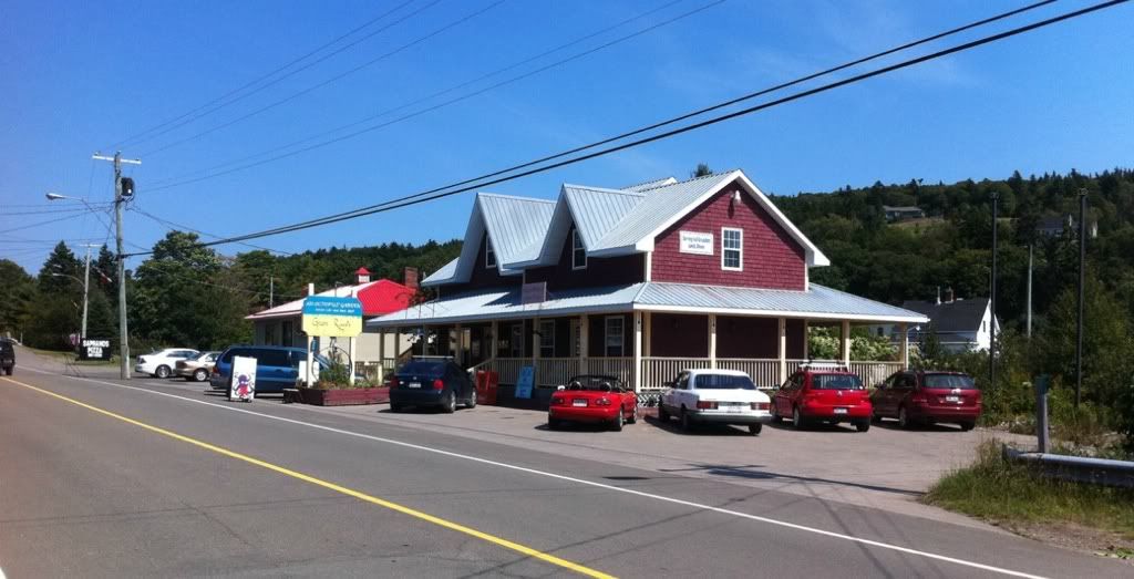
The next pictures are all of Main Street in Alma:
As you cross the bridge over the Little Salmon River on the west end of town, you enter
Fundy National Park
Fundy was established as a national park in 1948 and encompasses 207 square kilometers. As such, it is one of the older and smaller national parks in Canada.
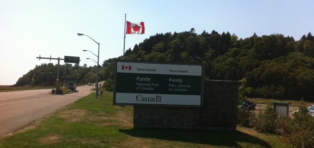
Park entrance.
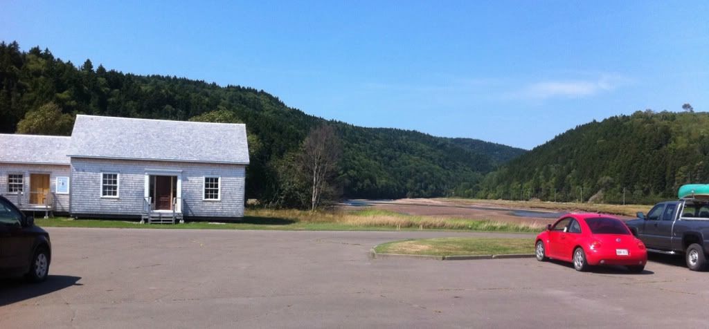
little Salmon River
Beach at park entrance.
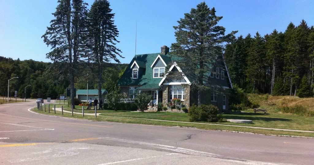
Visitors Centre and park wardens office.
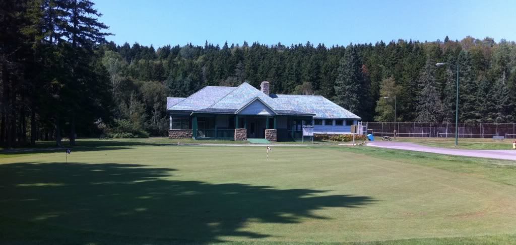
Golf course.
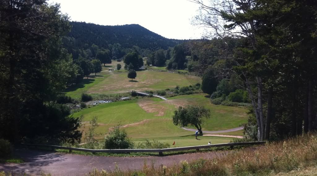
Golf course as seen from near the first tee.
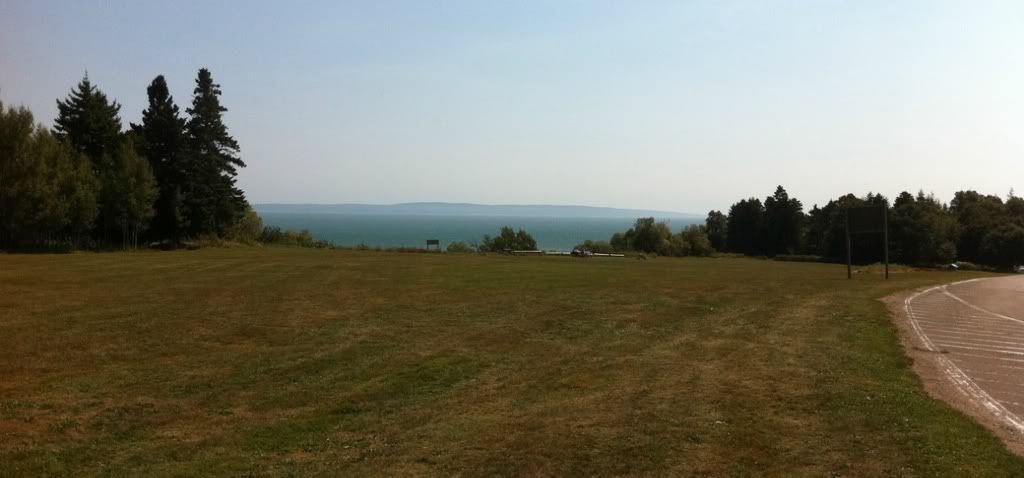
Looking across towards Nova Scotia.
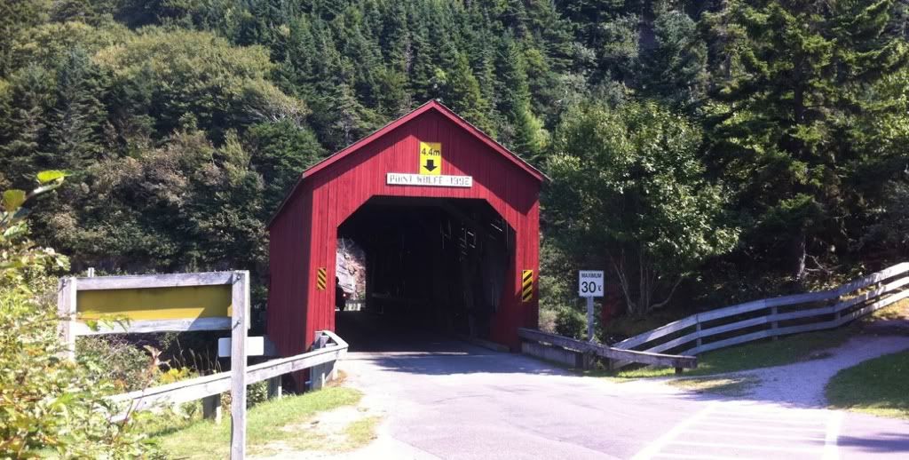
Point Wolfe covered bridge. This had to be rebuilt in 1992 after being accidentally blown up during a botched attempt to remove an adjacent unstable boulder. They used too much dynamite!!
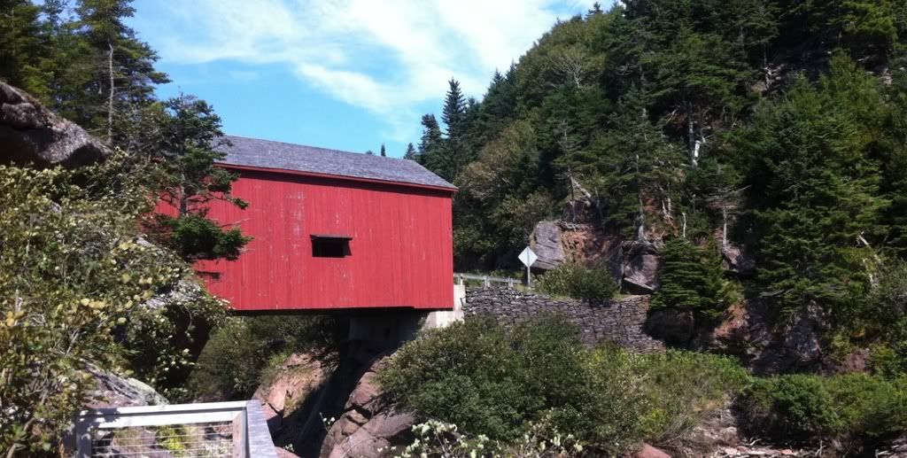
Covered bridge again.
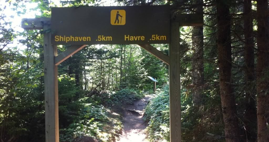
There are many hiking trails in the park such as this one.
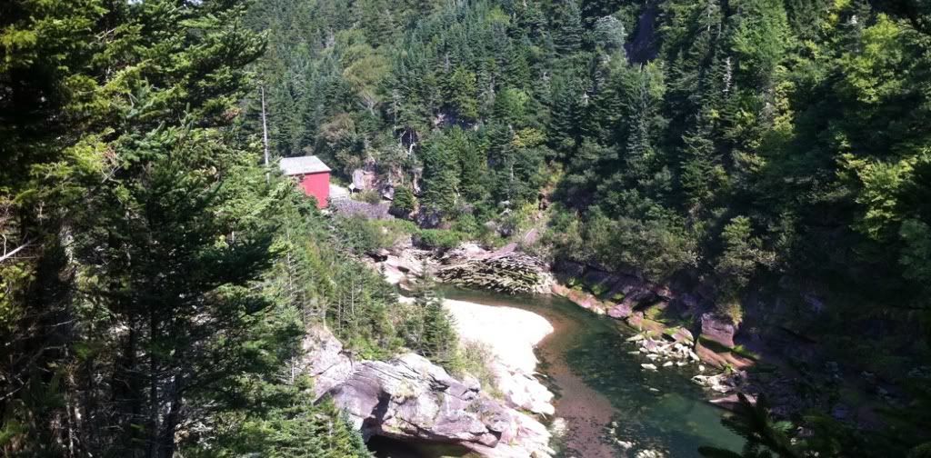
Looking back on the Point Wolfe Bridge from the Shiphaven Trail.
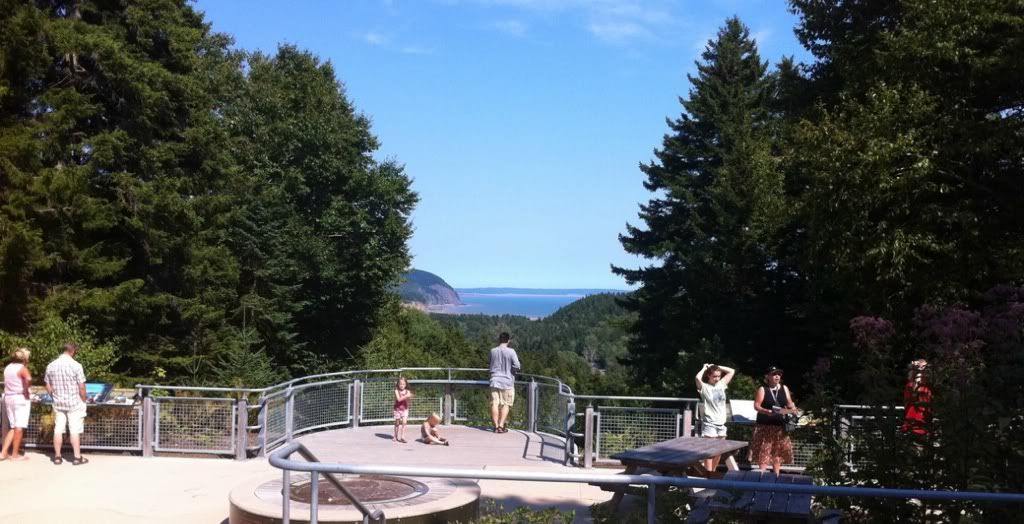
Lookoff from the entrance to the Dickson Falls Trail.
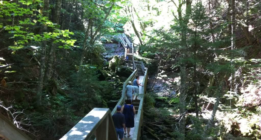
Dickson Falls Trail
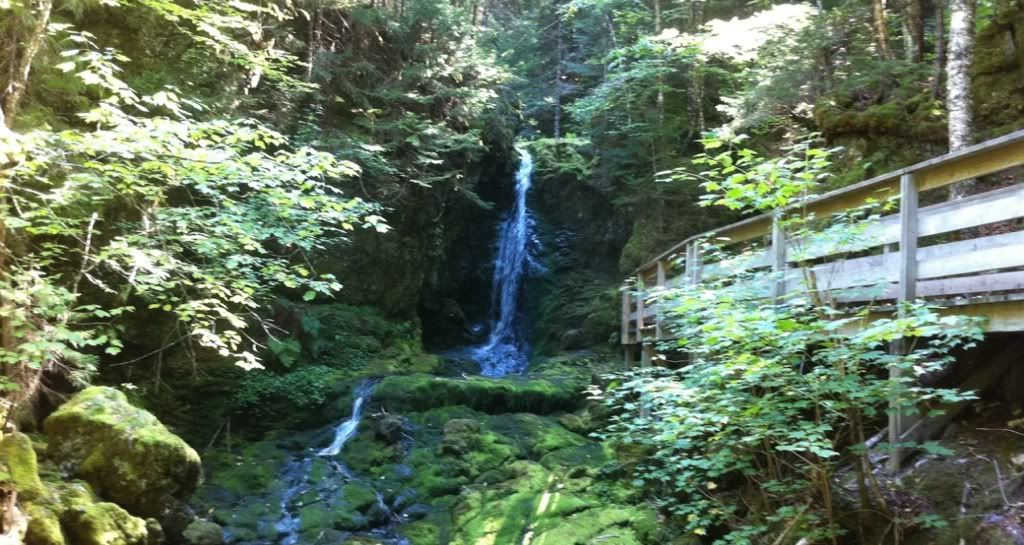
Dickson Falls. It's been a very hot and dry summer so the falls are only a shadow of their normal self.
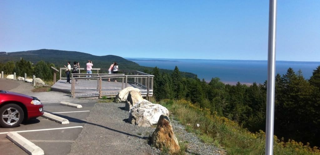
Lookoff over the head of the Bay of Fundy. You can see Cape Enrage in the distance.


 Linear Mode
