Quote:
Originally Posted by niwell

For anyone interested in the types of Montreal developments post-war posted above I'd highly recommend this book: https://www.cca.qc.ca/en/events/3442...eal-thinks-big
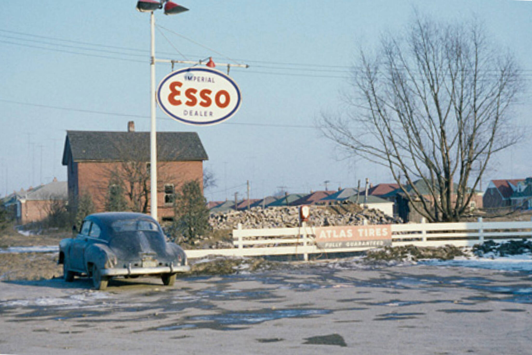
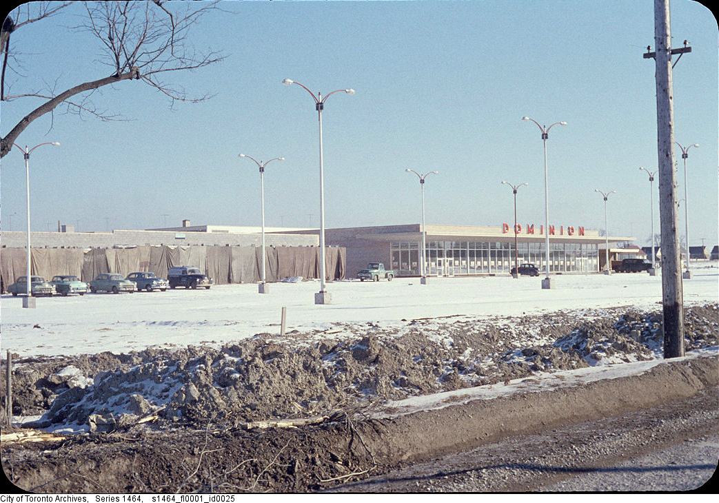
There are lots of aerial pics showing full apartment neighbourhoods being built into the 60s adjacent to farmland. It's a wild juxtaposition we aren't really used to anymore.
Similarly there are black and white pics showing Toronto suburban highrises in the 60s at the edge of the city. Different form of urbanism but full neighbourhoods were built that contained a full gamut of housing typologies from scratch.
http://towerrenewal.com/wp-content/u...een-belt-7.jpg |
ahh, the days when we built for the future, knowing that the density is just what the doctor ordered. Build it, and they will come. Today it is "they will come, but we won't build it"
Indeed, Montreal "thought big" in the 60s. Then came the 70s. The rise of the PQ and the lead up to the first referendum. And the Big Owe (unfinished, 10 times over budget, shoddy construction, Mafia contracts). And Mirabel. The combination of this triad killed Montreal's aspirations...for decades.


 Prev
Prev


 Linear Mode
