Quote:
Originally Posted by ethereal_reality

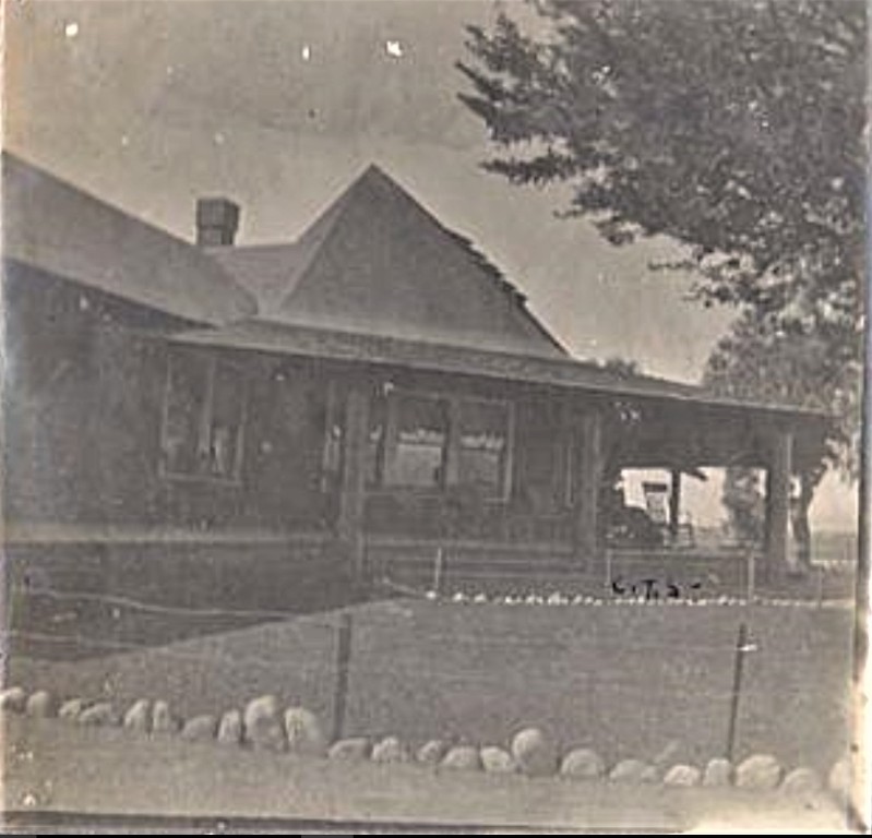
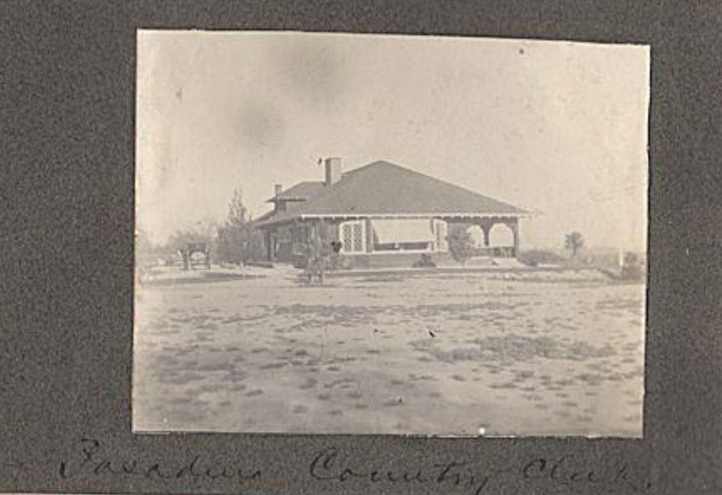
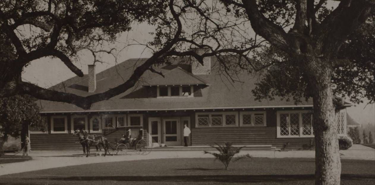
I guess it's pretty obvious...but the building is a hotel, right?
the one mentioned in this article from 1879 (no doubt.
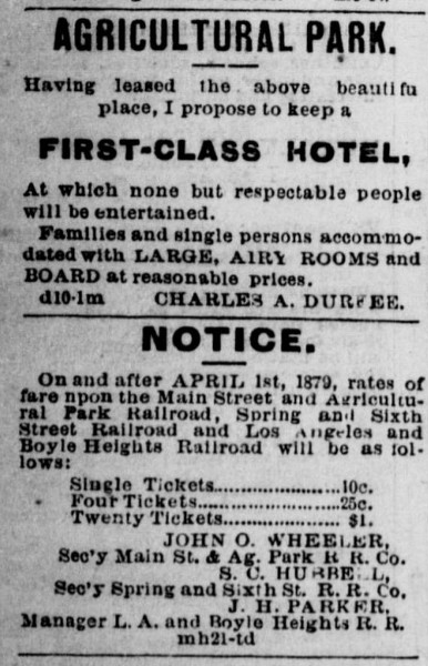
Los Angeles Herald - April 17, 1879
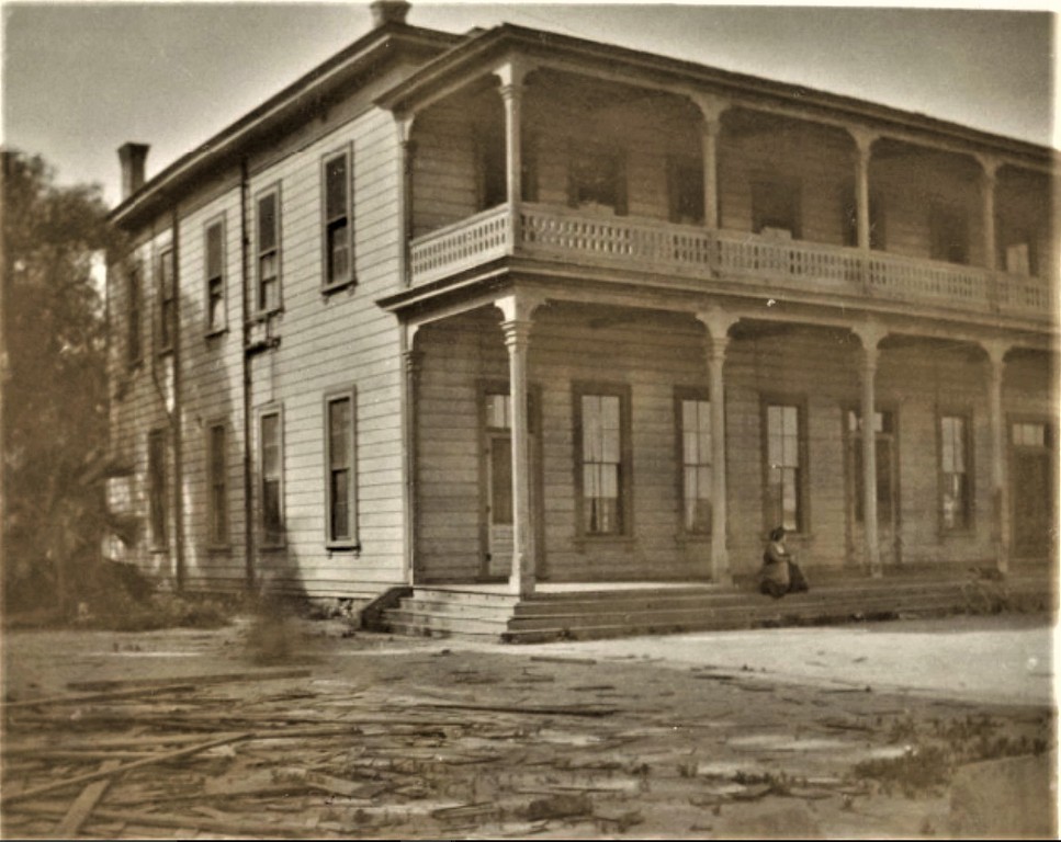
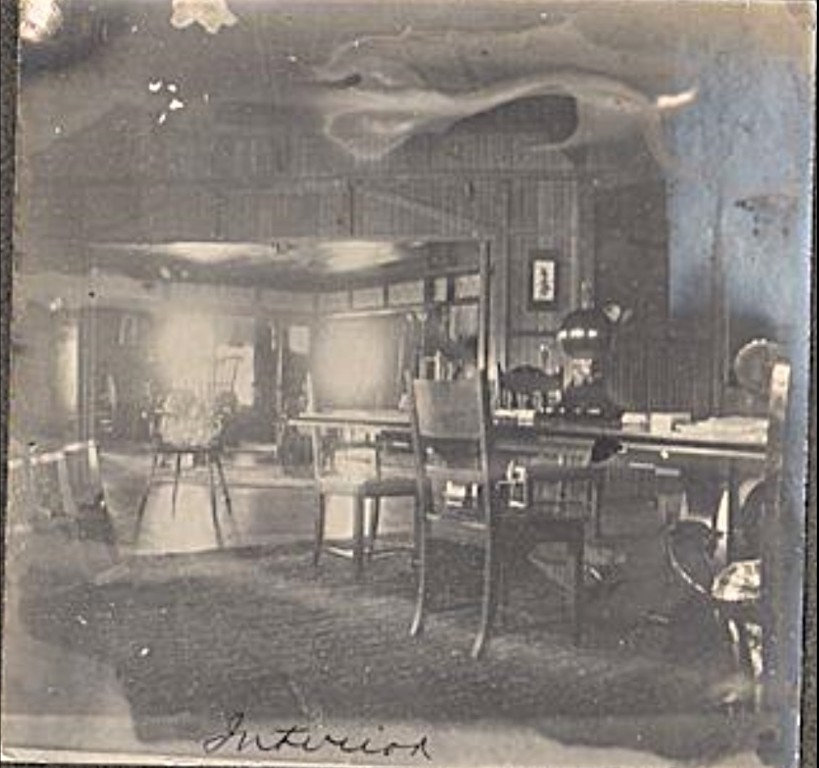
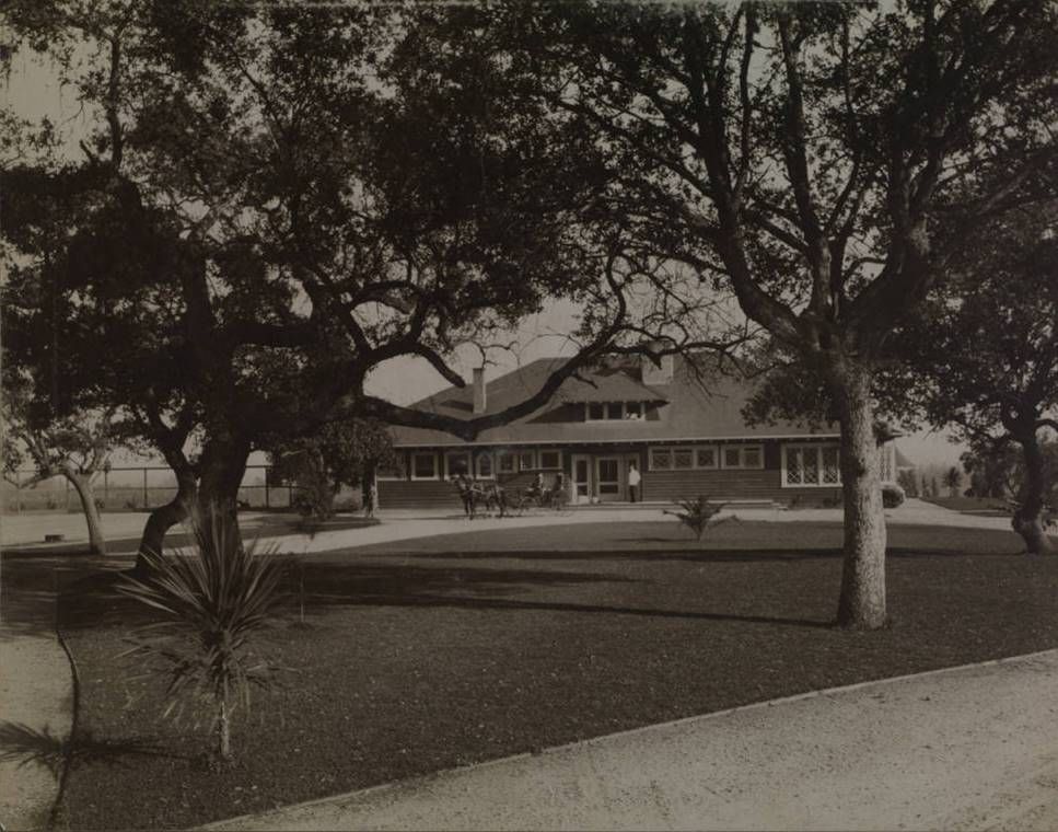
one last look
Did the hotel have a name?...or was it simply called the Agricultural Park Hotel?
_ |
The May 9, 1891,
Los Angeles Herald refers to the
Agricultural Park Hotel. I couldn't find where another name was used.
On the 1888 Sanborn we see the hotel before it was enlarged. Please note that it is on the north side of the grandstand:
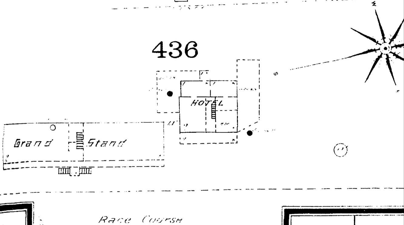
ProQuest via LAPL
The hotel is still on the north side of the grandstand, but I've flipped the 1894 Sanborn below because it's easier to
read this way. The map shows that the hotel has been expanded (and -- cut off at the right edge -- that a new
grandstand is being built, which might also account for the lumber scraps in front of the hotel in
e_r's photo above).
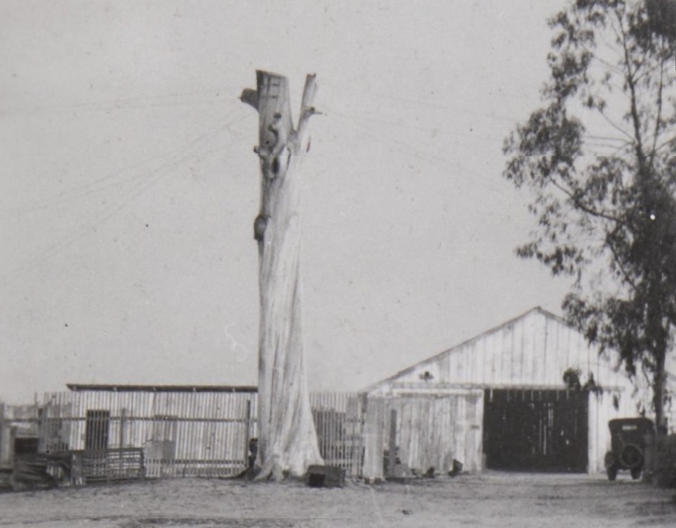
Outside the entrance to Agricultural Park we see the Main Street and Agricultural Park R.R. Co. facility:
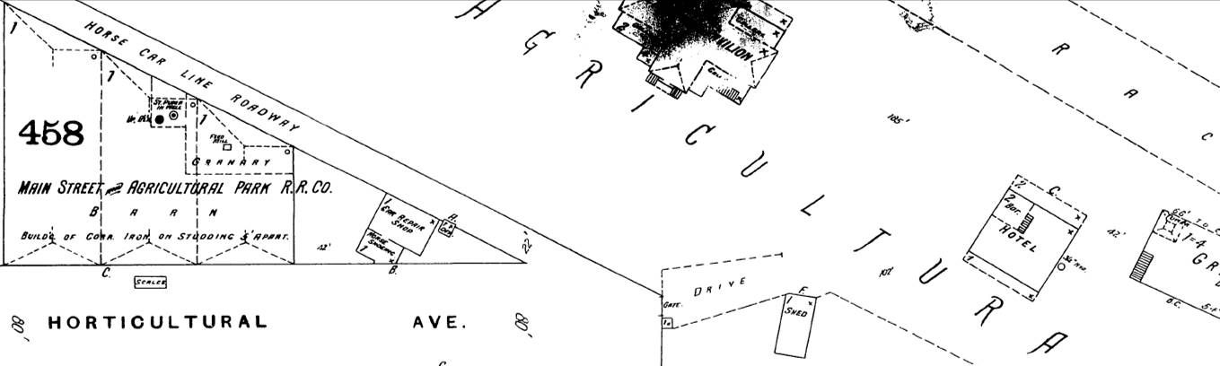
ProQuest via LAPL
Quote:
Originally Posted by ethereal_reality
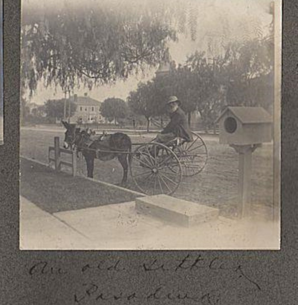
While searching for information on the hotel at Agriculture Park, I happened upon this intriguing photograph. (I think it's new to NLA)
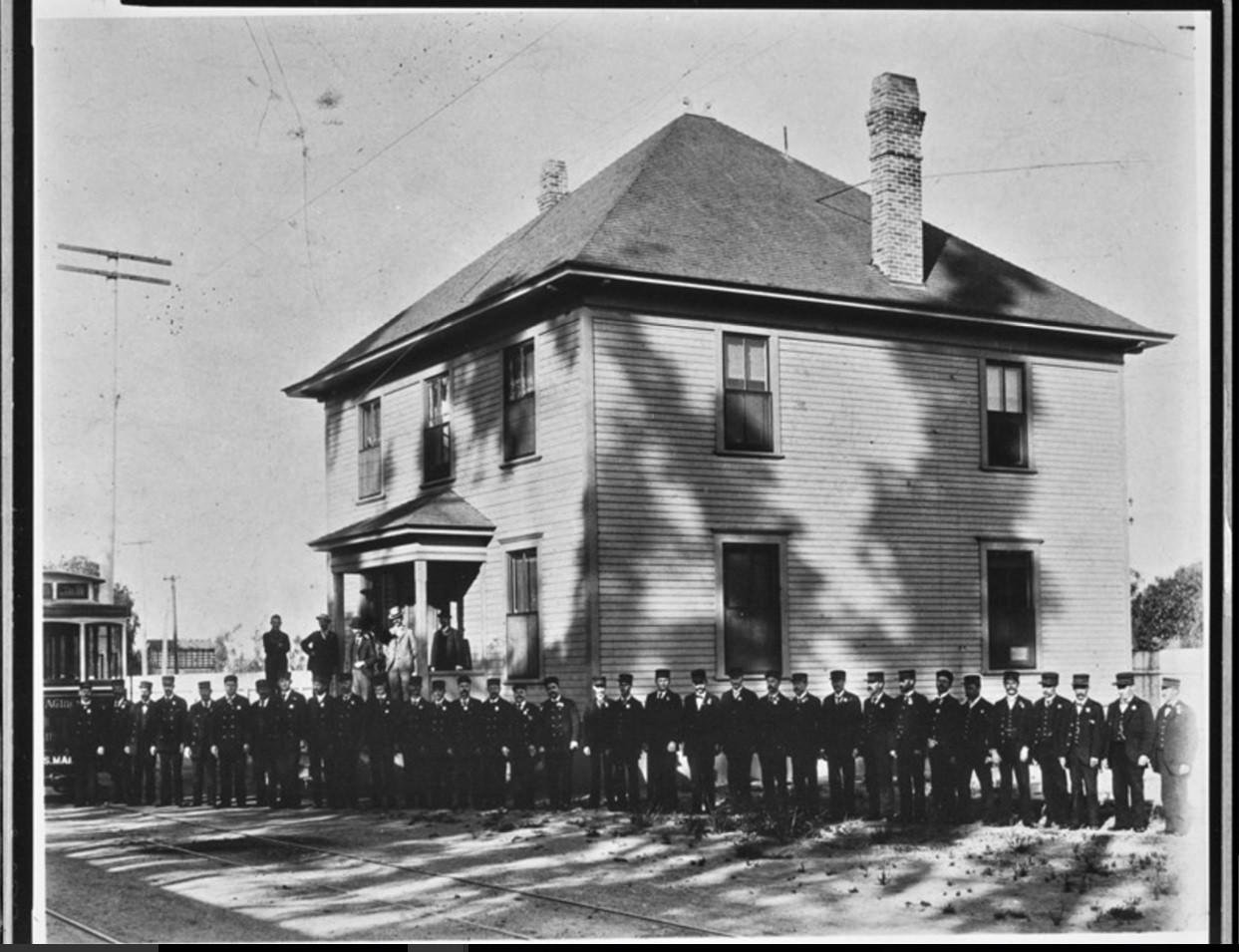 Metro Library Archive
The vague description in the archive is "Main St and Agricultural Park Railway (Now Exposition Park)"
Any idea why the men are posed in front of this rather nondescript house? 
__ |
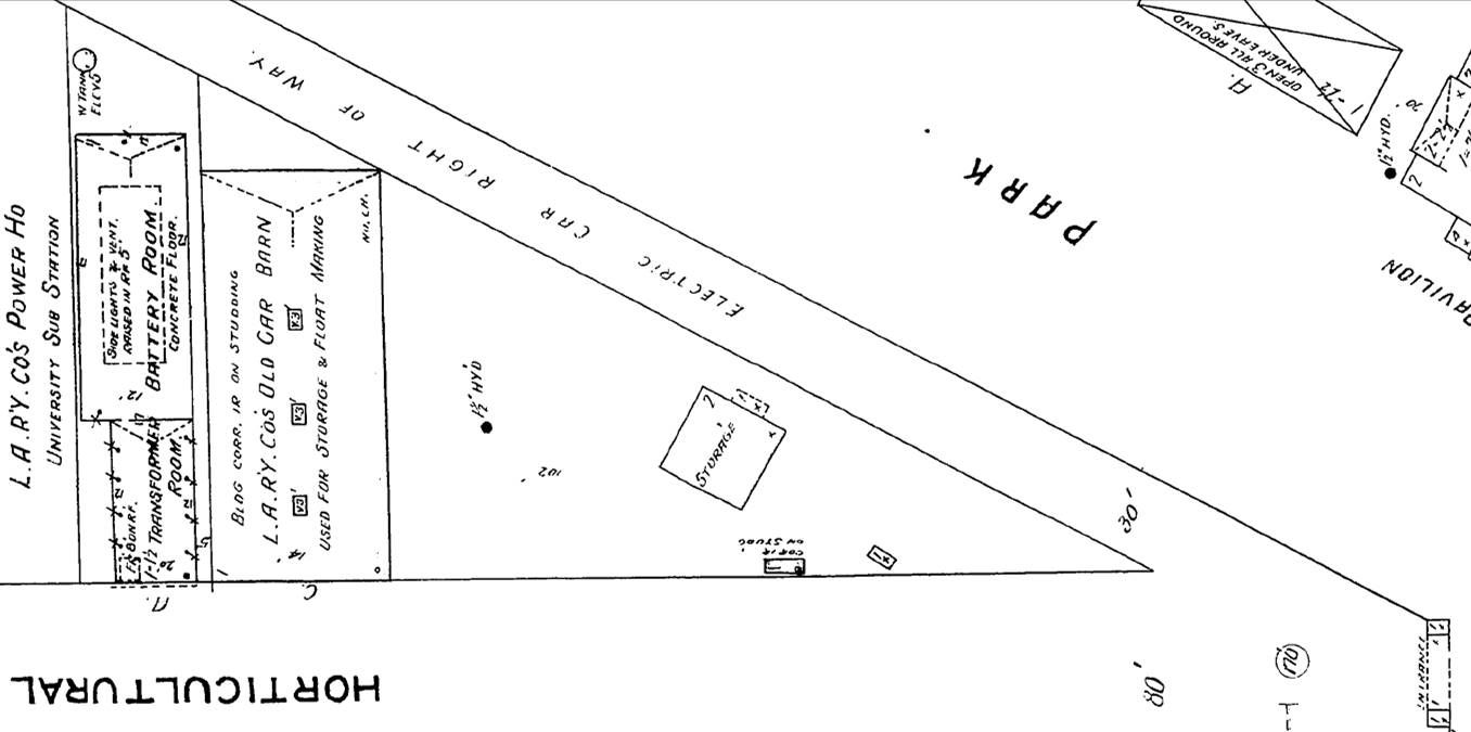
Now check out the 1906 Sanborn. See the two-story storage building on the triangular lot? Maybe that's the building from
the photo above? Also, the 22-foot-wide Horse Car Line Roadway from 1894 has become a 30-foot-wide Electric Car Right
of Way. I don't know if this will help date the above photo, but a
Los Angeles Times article on May 5, 1897, notes that the
Main Street and Agricultural Park R.R.'s electric cars stop at Jefferson and Grand; from there to the Agricultural Park
entrance, "the clumsy little horse cars are used." However, rails that could support the heavier electric cars were to be
installed and the whole line electrified by the end of May:
ProQuest via LAPL
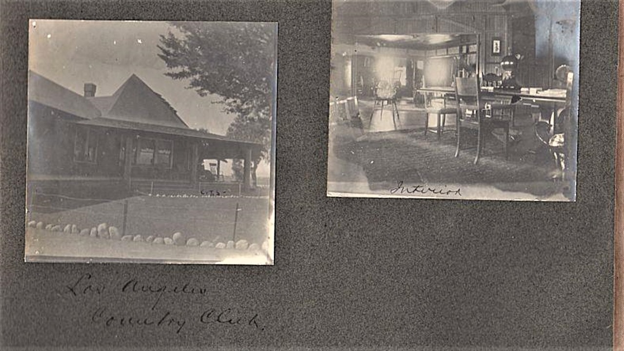
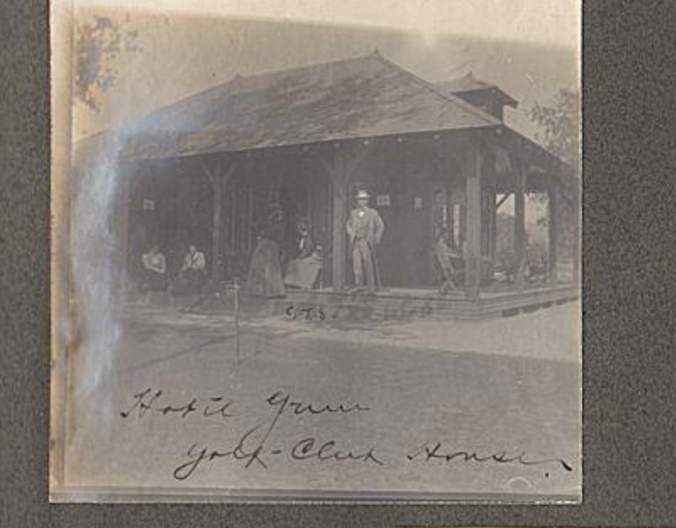
The old Agricultural Park Hotel is on the 1906 map too (though not included above), looking much as it did in 1894, except the
building is being used as a clubhouse and dwelling, and the bar is marked "Not Used."


 Prev
Prev


 or maybe
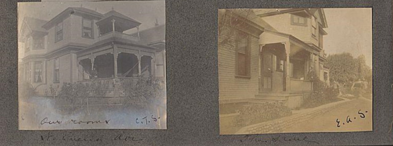
 lol) And the small front porch is there as well.
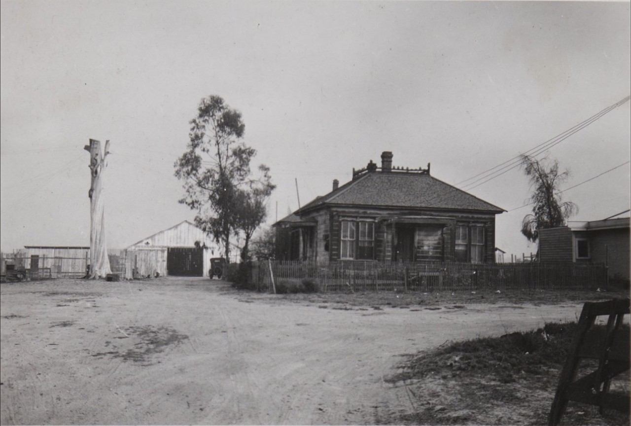

 I appreciate your help. -now I know who the girls are in the courtyard.
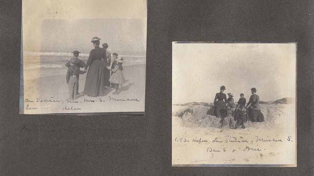


 ) -so cool!
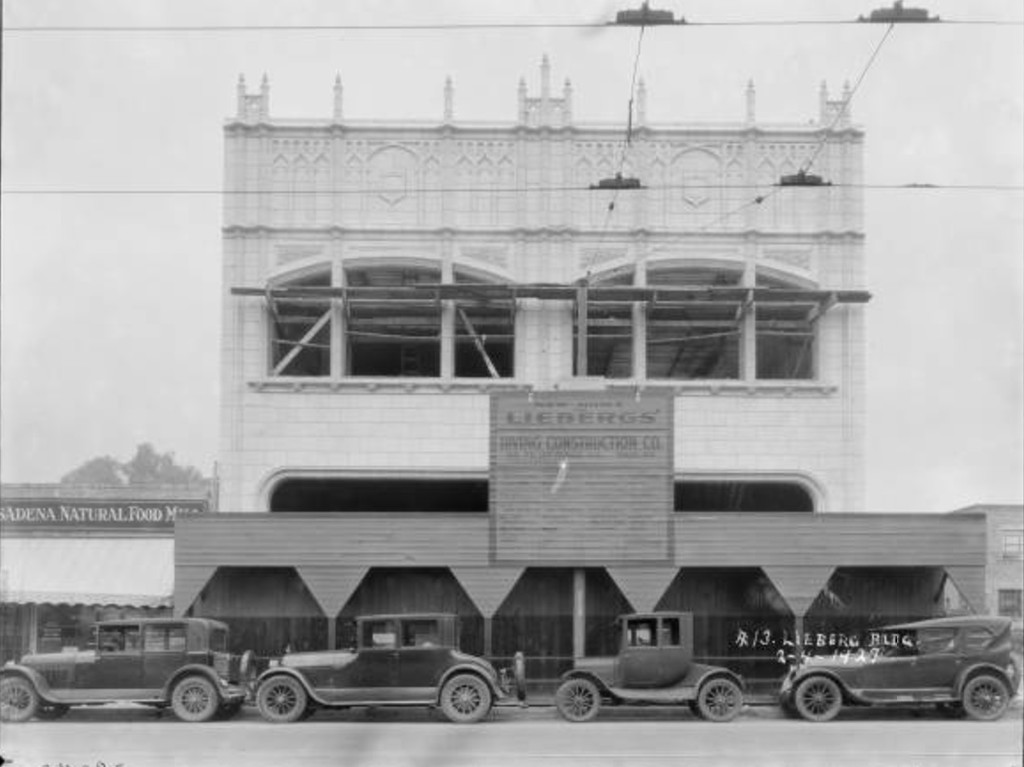


 Linear Mode
